© TVB Tannheimer Tal

© Tannheimer Tal - Tourismusverband Tannheimer Tal

© Tannheimer Tal - Tourismusverband Tannheimer Tal

© Tannheimer Tal - Tourismusverband Tannheimer Tal
© Tannheimer Tal - Tourismusverband Tannheimer Tal

© Tannheimer Tal - Tourismusverband Tannheimer Tal

© Tannheimer Tal - Tourismusverband Tannheimer Tal

© Tannheimer Tal - Tourismusverband Tannheimer Tal

© Tannheimer Tal - Tourismusverband Tannheimer Tal

© Tannheimer Tal - Florian Müller
- Kort beskrivning
-
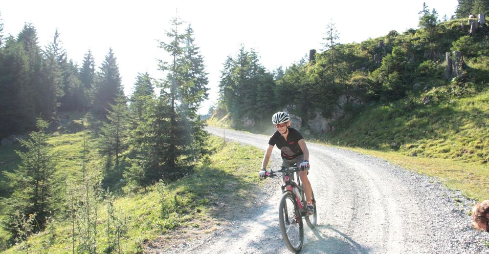
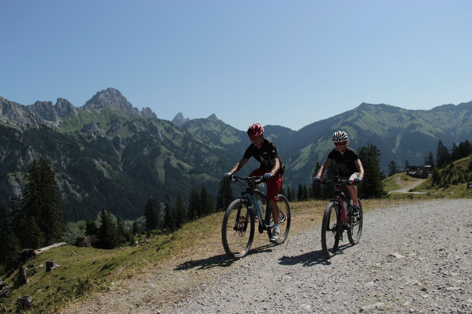
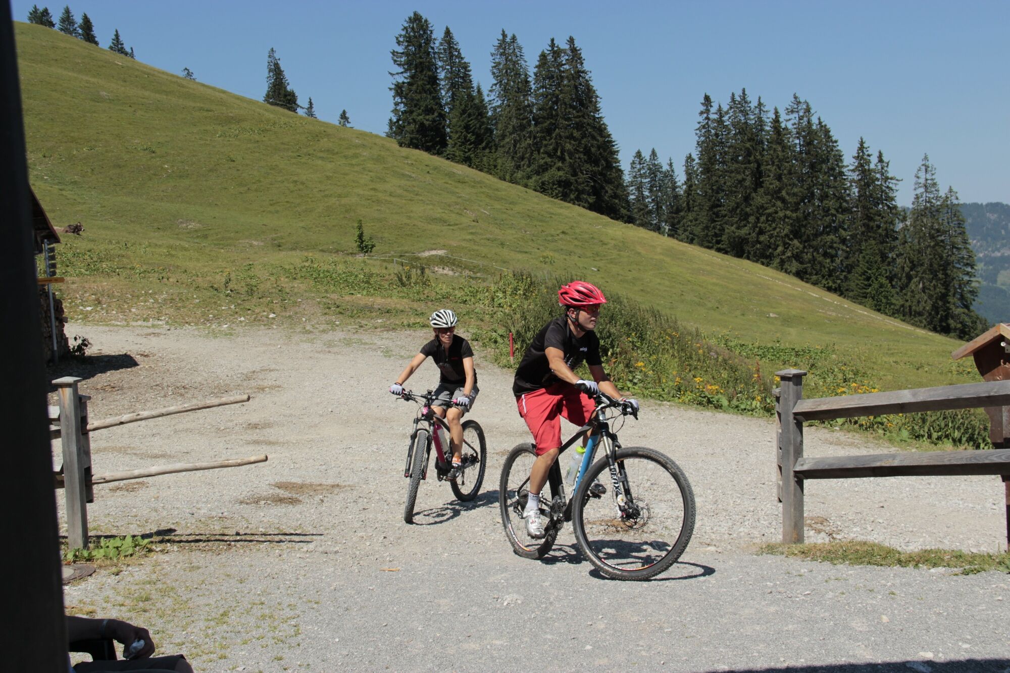
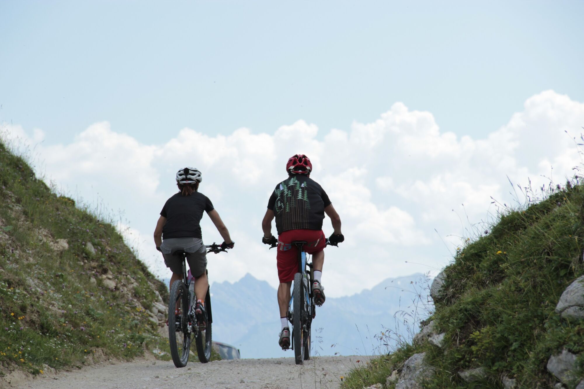
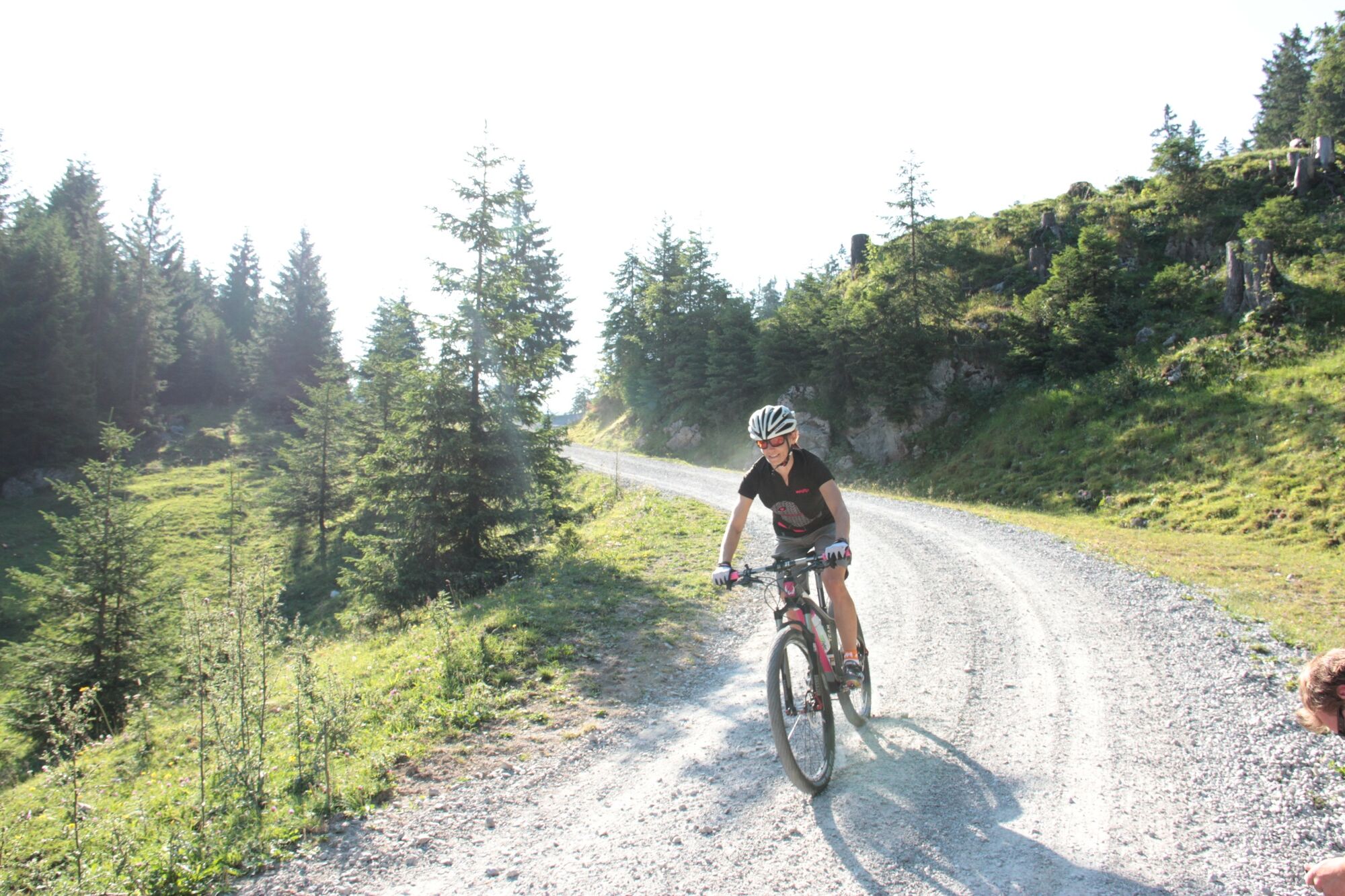
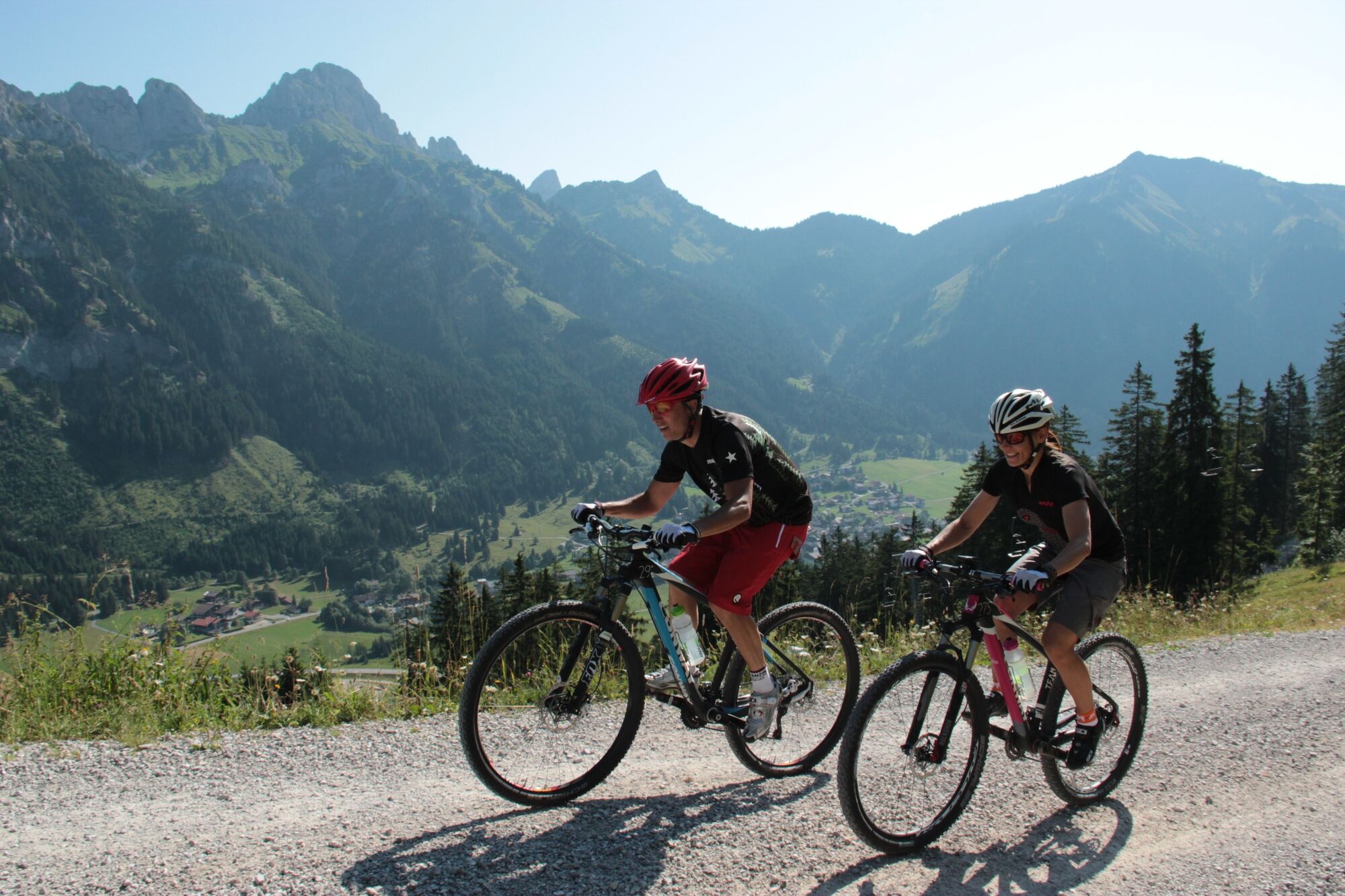
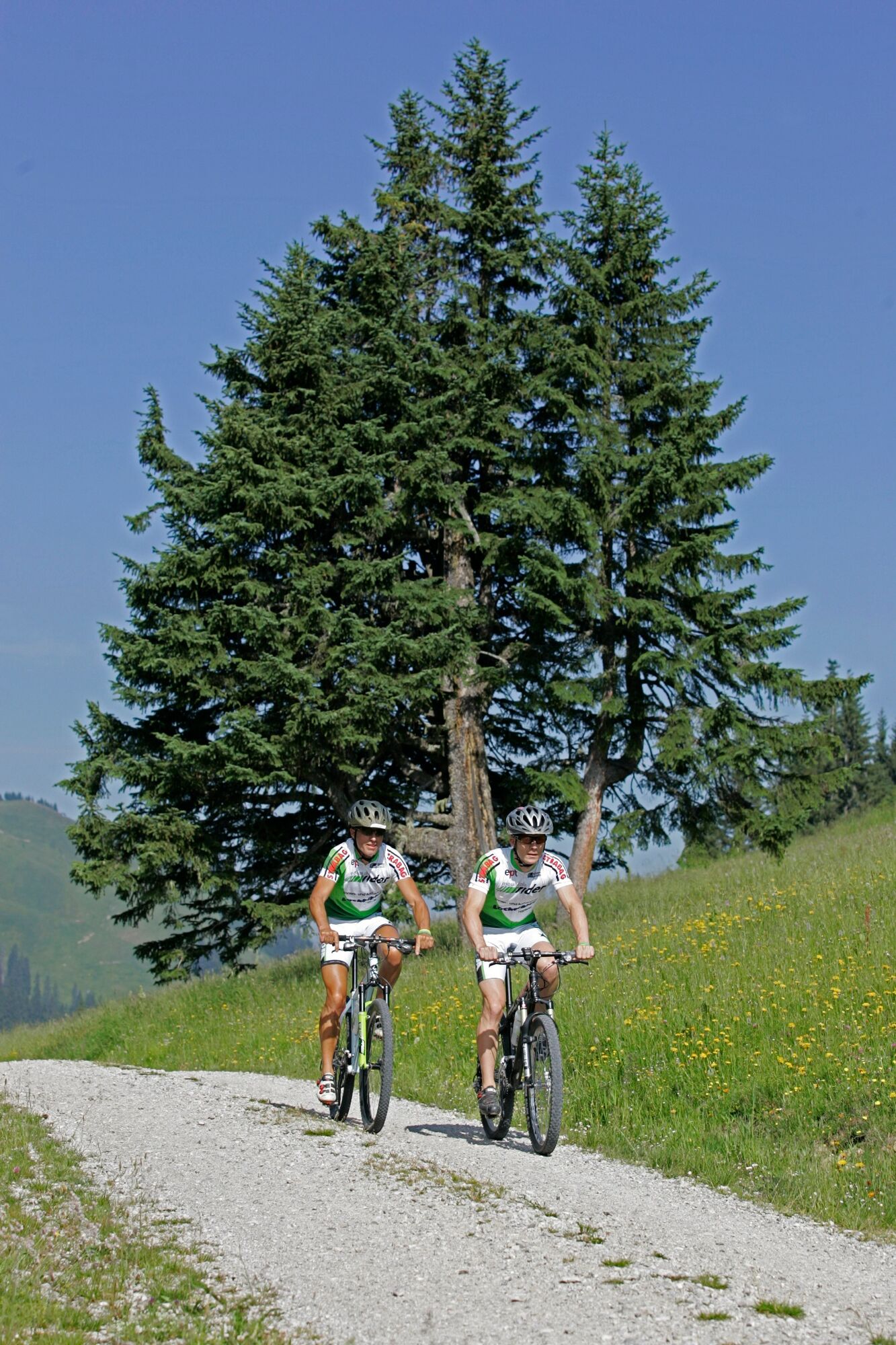
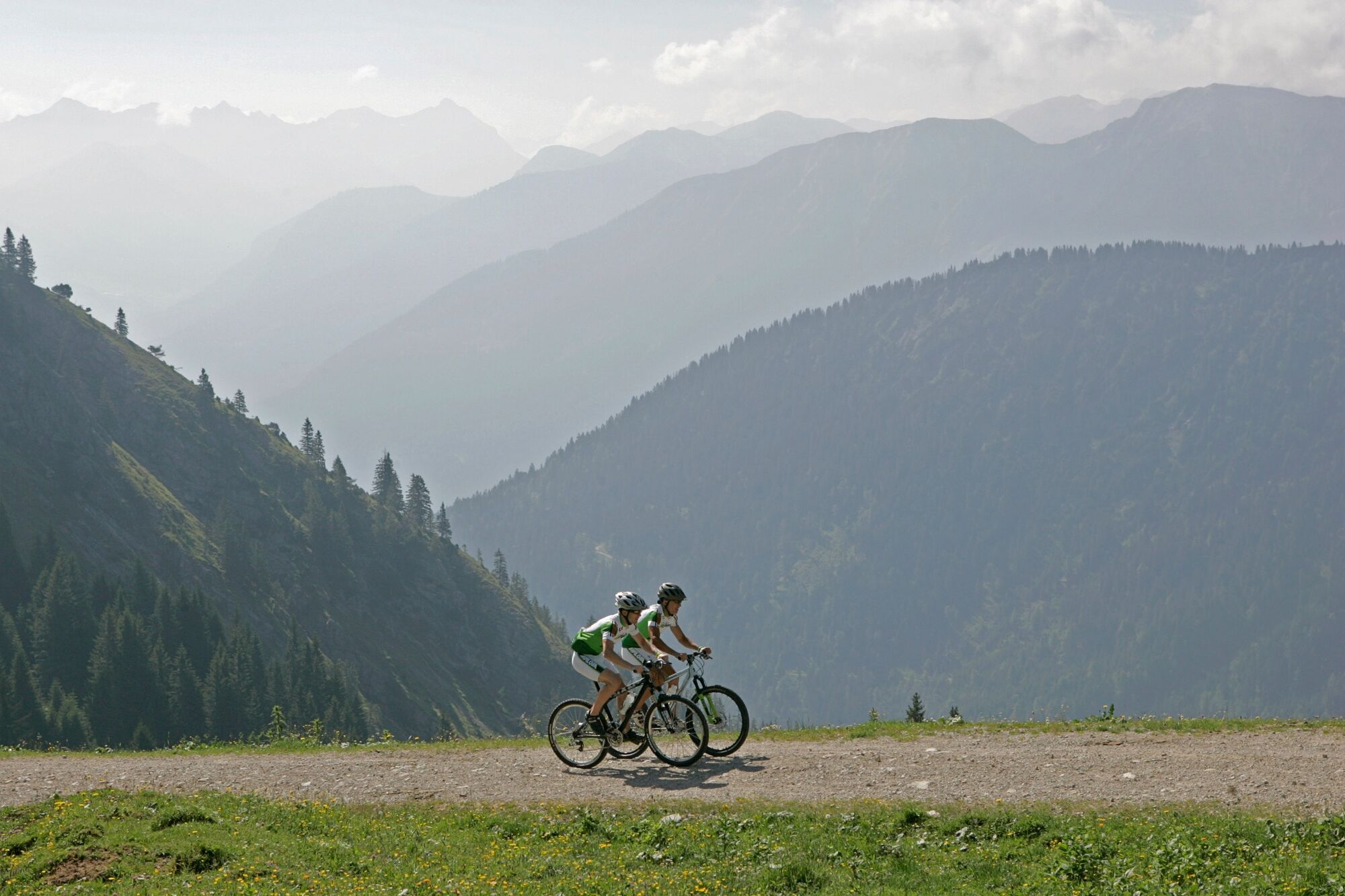
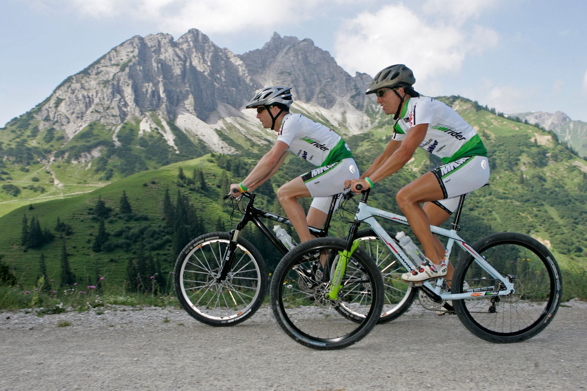
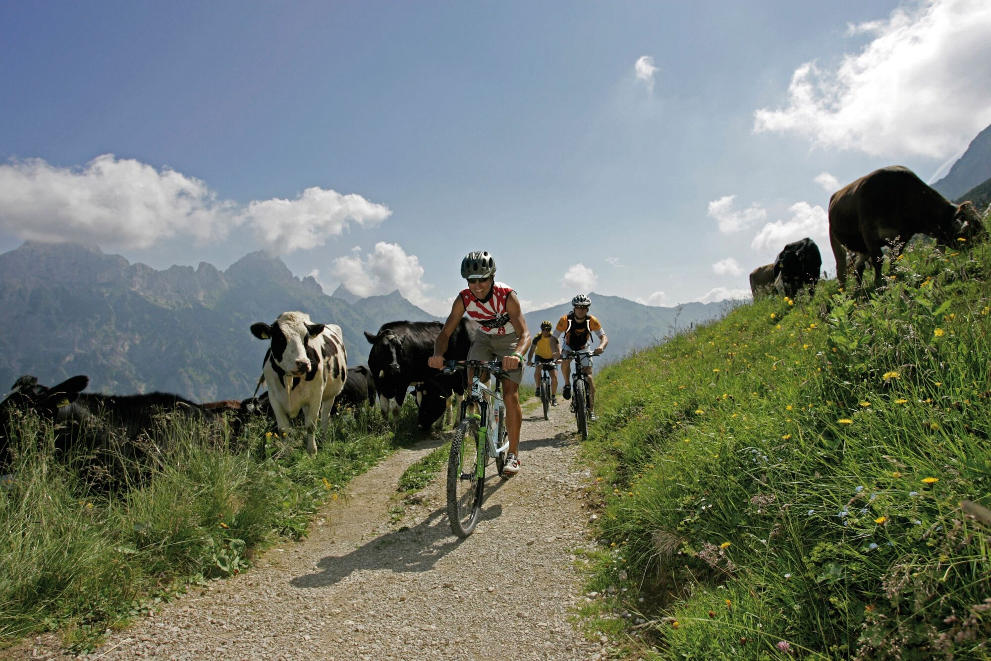
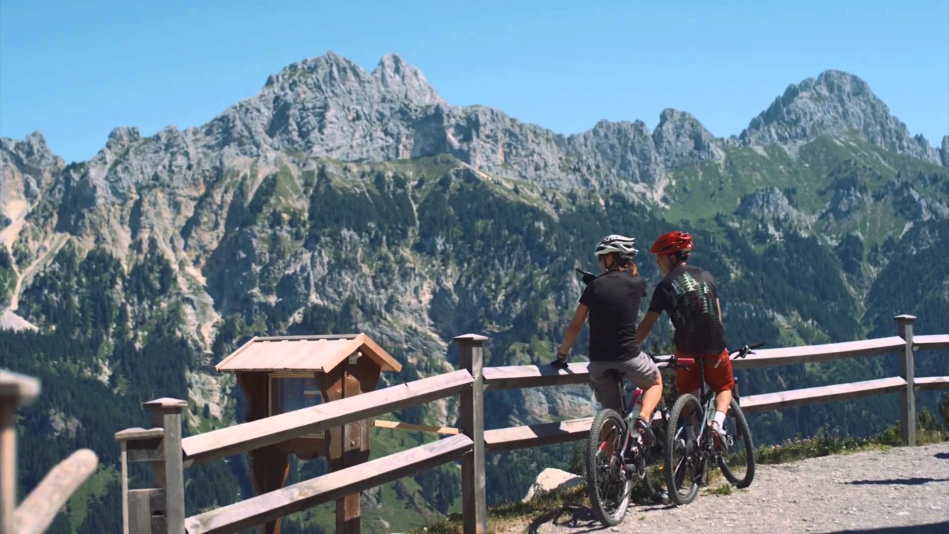
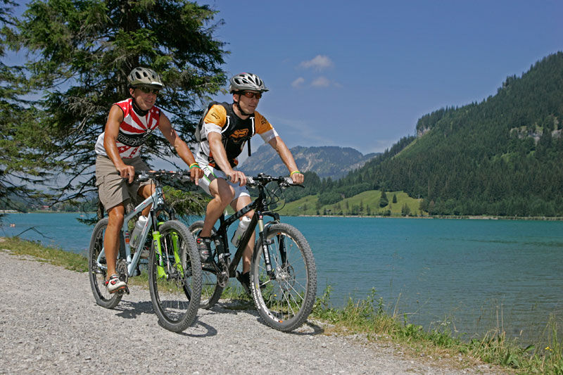
Enjoy the Tannheimer Tal on the bike.
- Svårighet
-
medium
- Utvärdering
-
- Väg
-
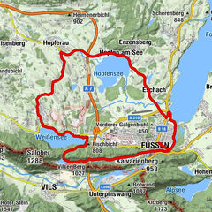
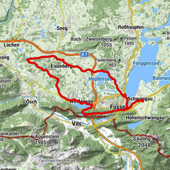
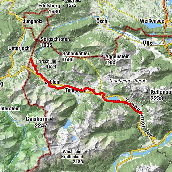
Nesselwängle (1.136 m)1,2 kmKrinnenalpe1,9 kmSchmitte2,3 kmTauscher's Alm5,1 kmSt. Jakobus5,5 kmHaldensee5,7 kmGrän (1.138 m)6,5 kmInnergschwend9,1 kmTannheim (1.097 m)10,7 kmFischteich13,2 kmZöblen (1.087 m)14,7 kmFricken15,6 kmHaus Schattwald (1.100 m)15,7 kmSchattwald (1.072 m)15,9 kmWies16,1 kmSteig16,9 km
- Bästa säsongen
-
janfebmaraprmajjunjulaugsepoktnovdec
- Högsta punkt
- 1.164 m
- Destination
-
Landhotel Rehbach in Schattwald (exit from the tour possible on the whole valley level)
- Höjdprofil
-


- Författare
-
Turnén Cycle path Tannheimer Tal - cycling används av outdooractive.com förutsatt.
GPS Downloads


Allmän information
Förfriskningsstopp
Flora
Fauna
Lovande
Fler turer i regionerna
-
Allgäu
389
-
Tannheimer Tal
151
-
Tannheim
30