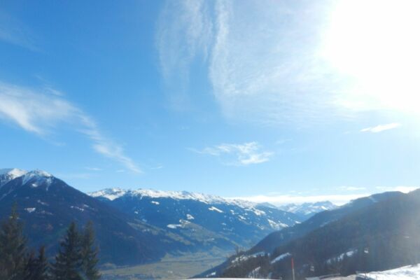
© Alpbachtal - Matthias Sedlak
© Alpbachtal - Matthias Sedlak

© Alpbachtal Tourismus

© Alpbachtal Tourismus
© Alpbachtal - Eva Wegscheider
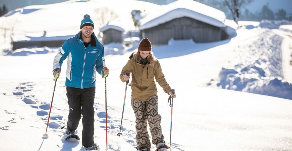
© Alpbachtal - Birgit Angermair
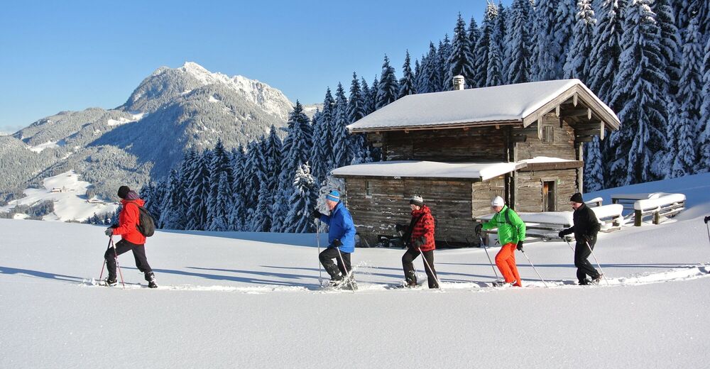
© Alpbachtal - Birgit Angermair
© Alpbachtal - Birgit Angermair

- Kort beskrivning
-
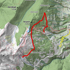
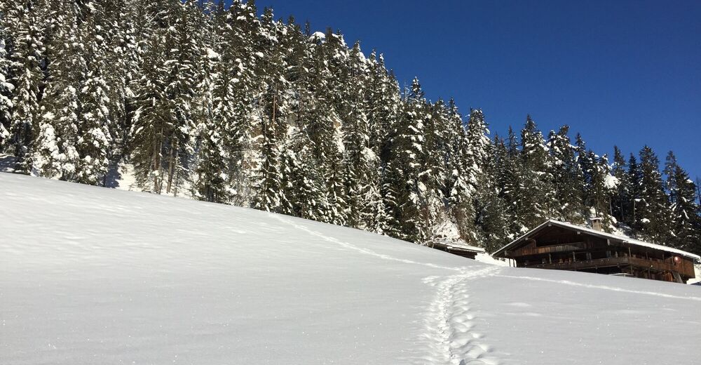
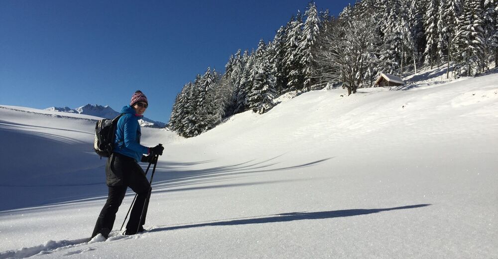
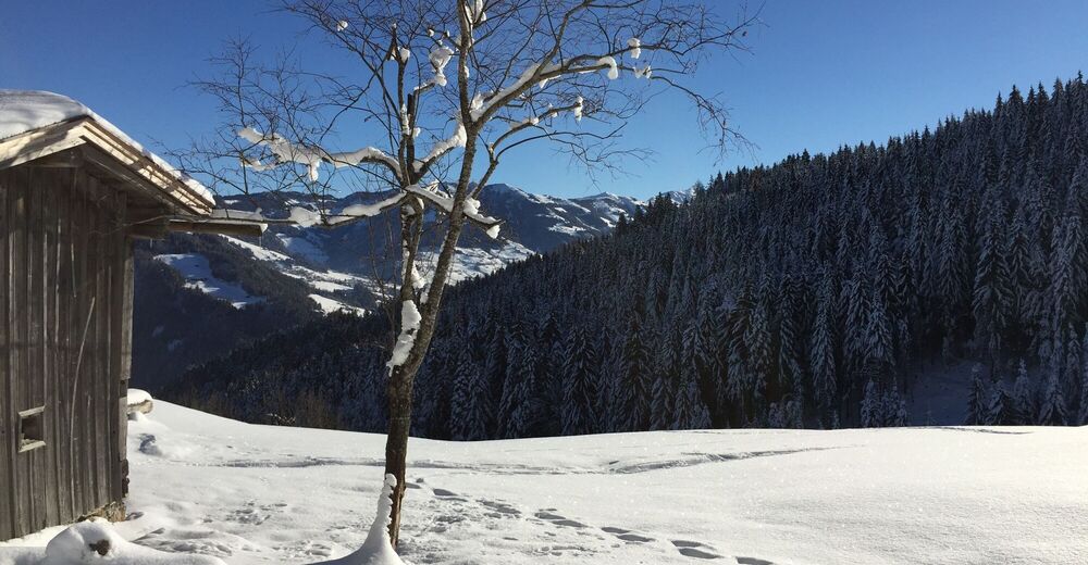
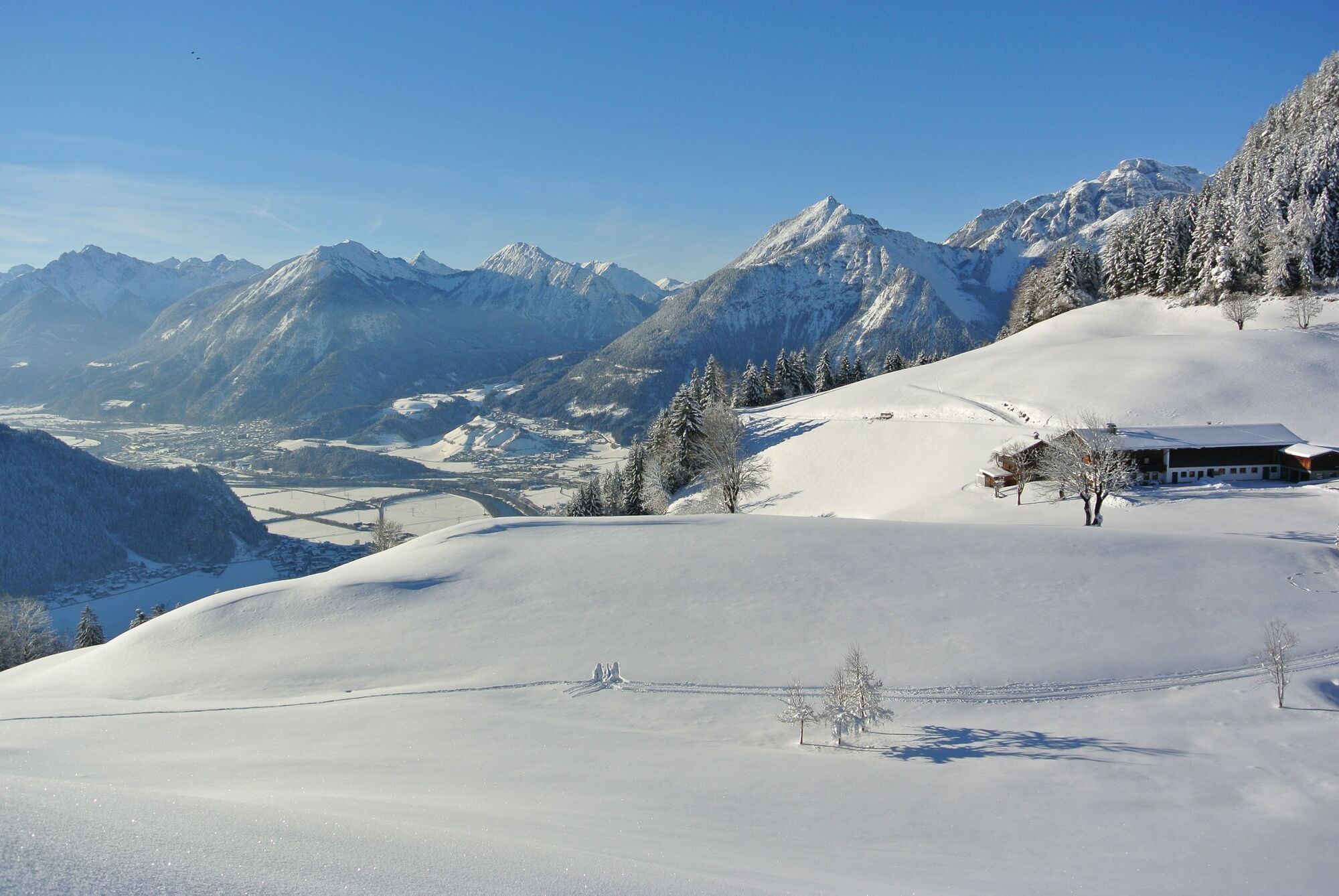
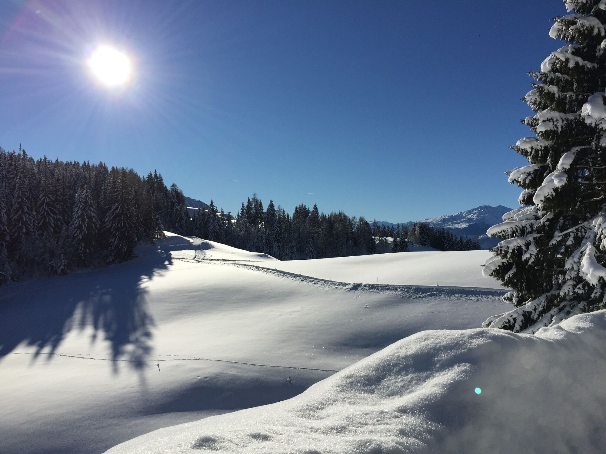
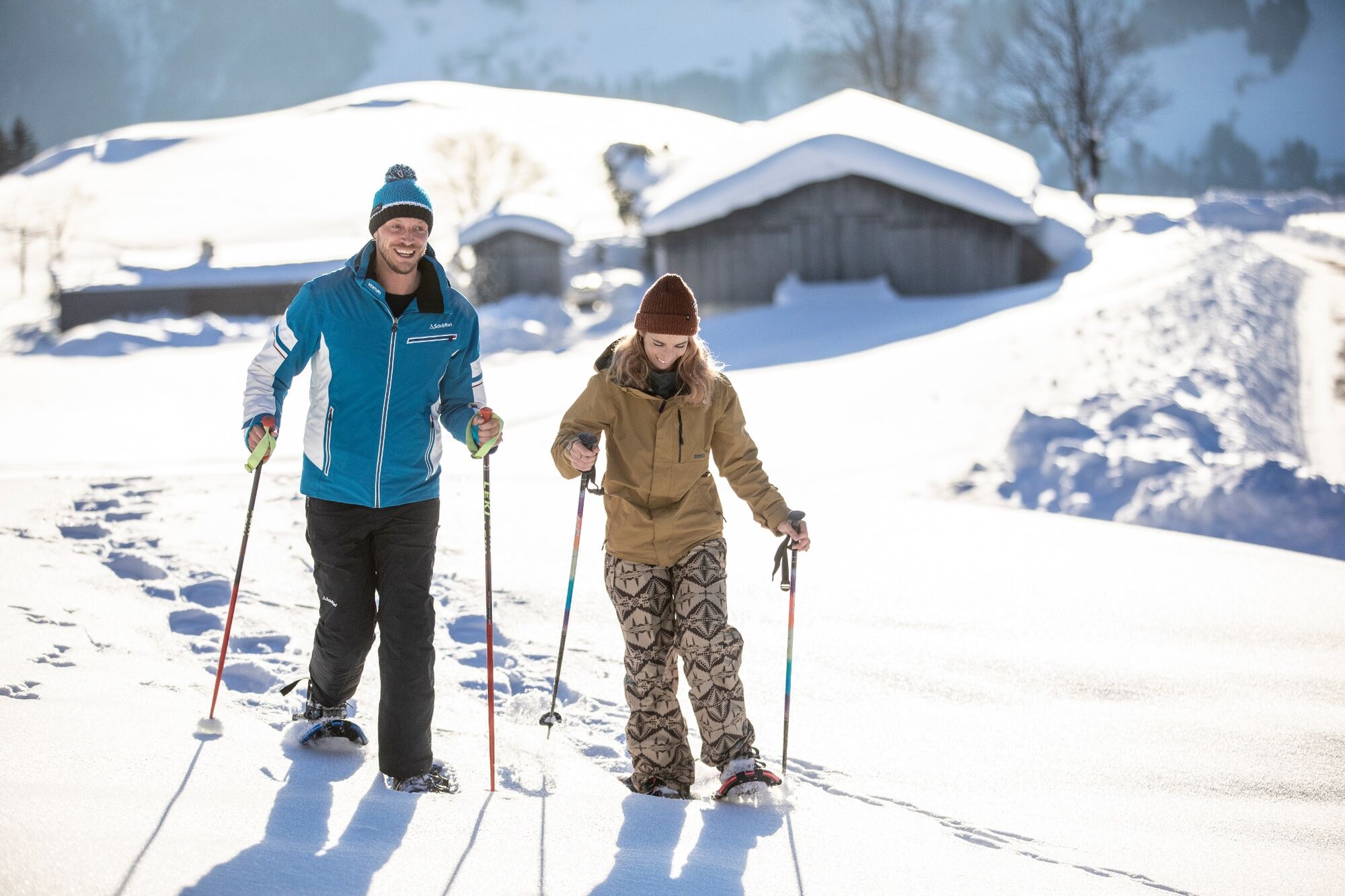
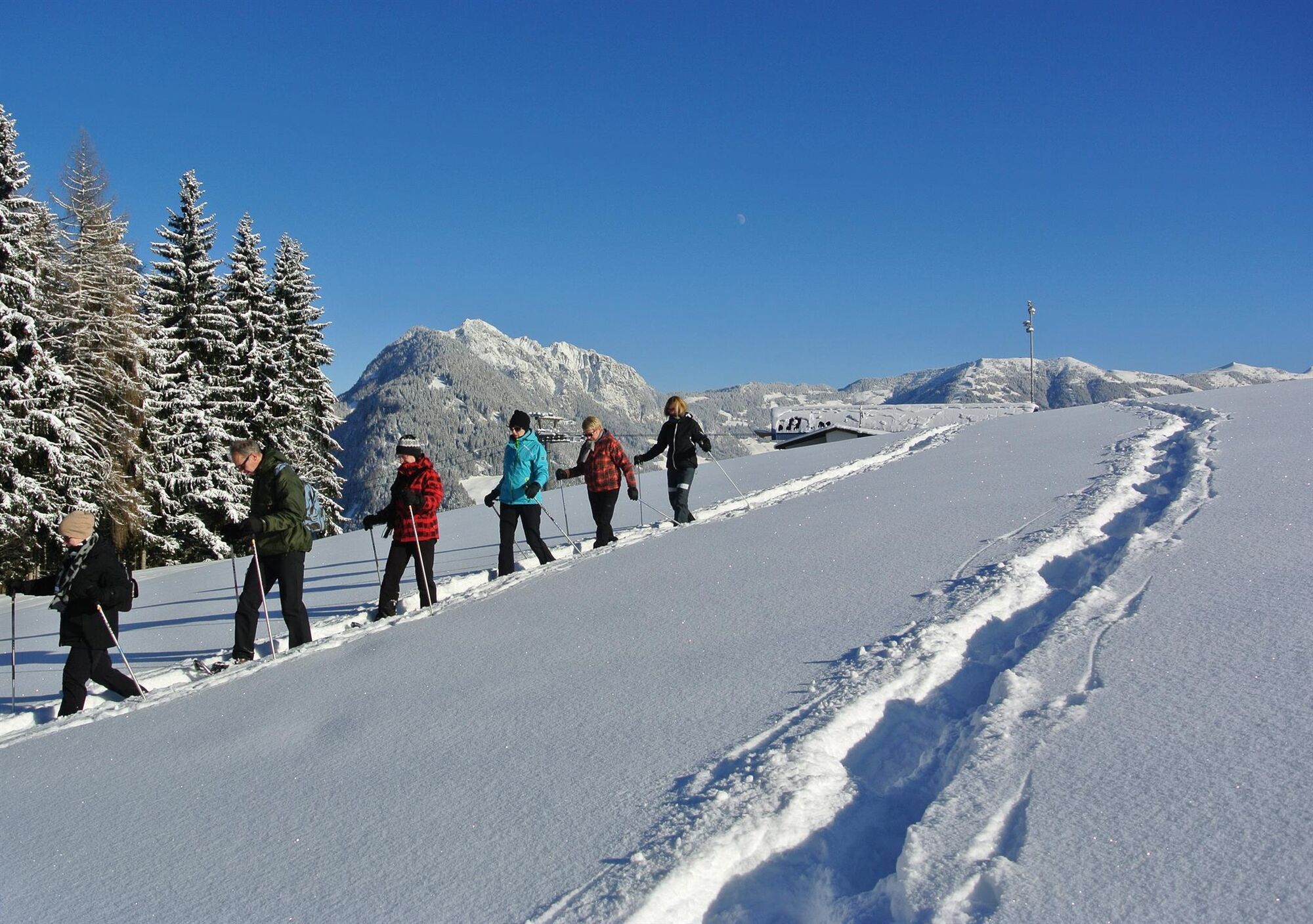
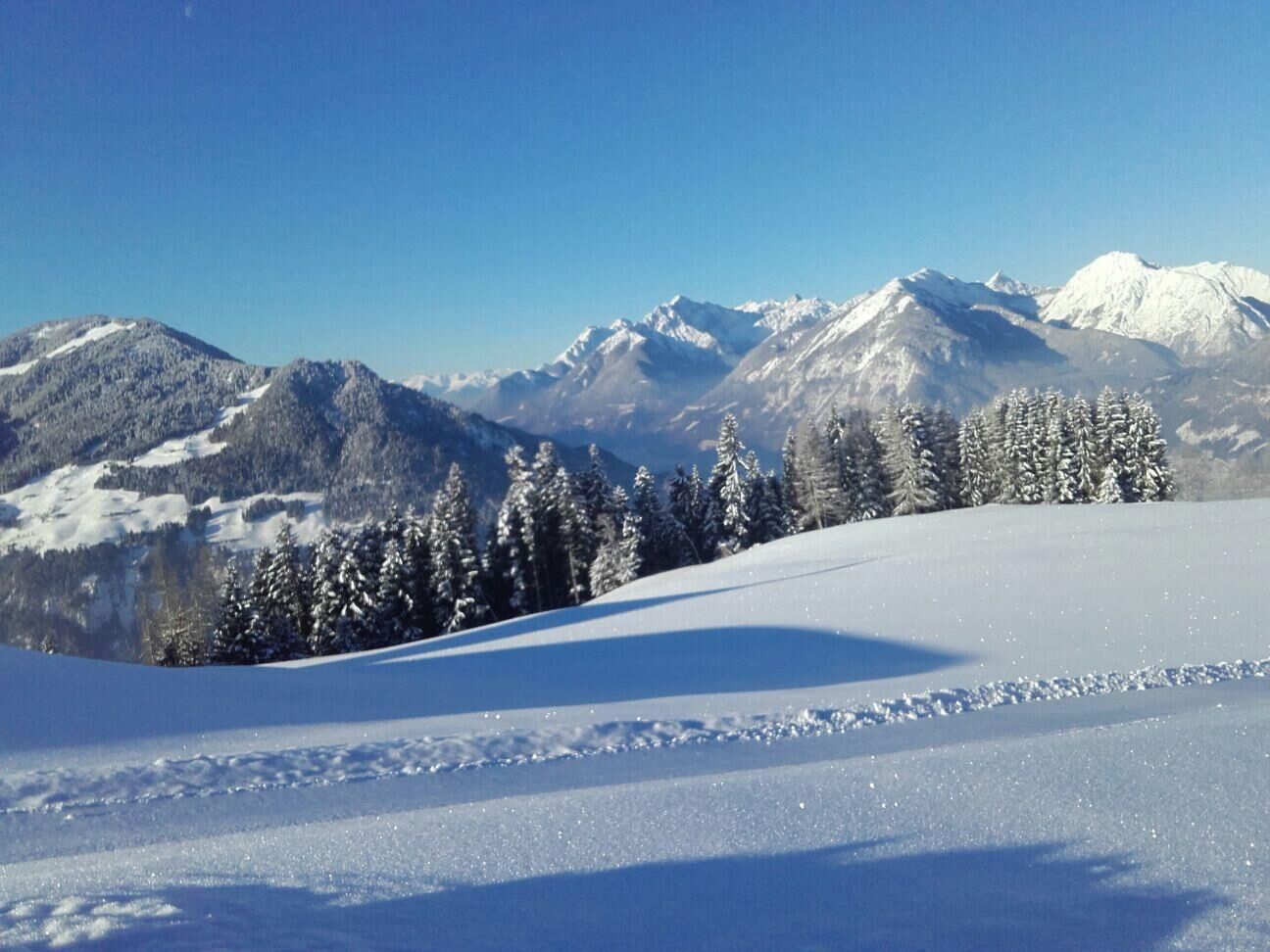
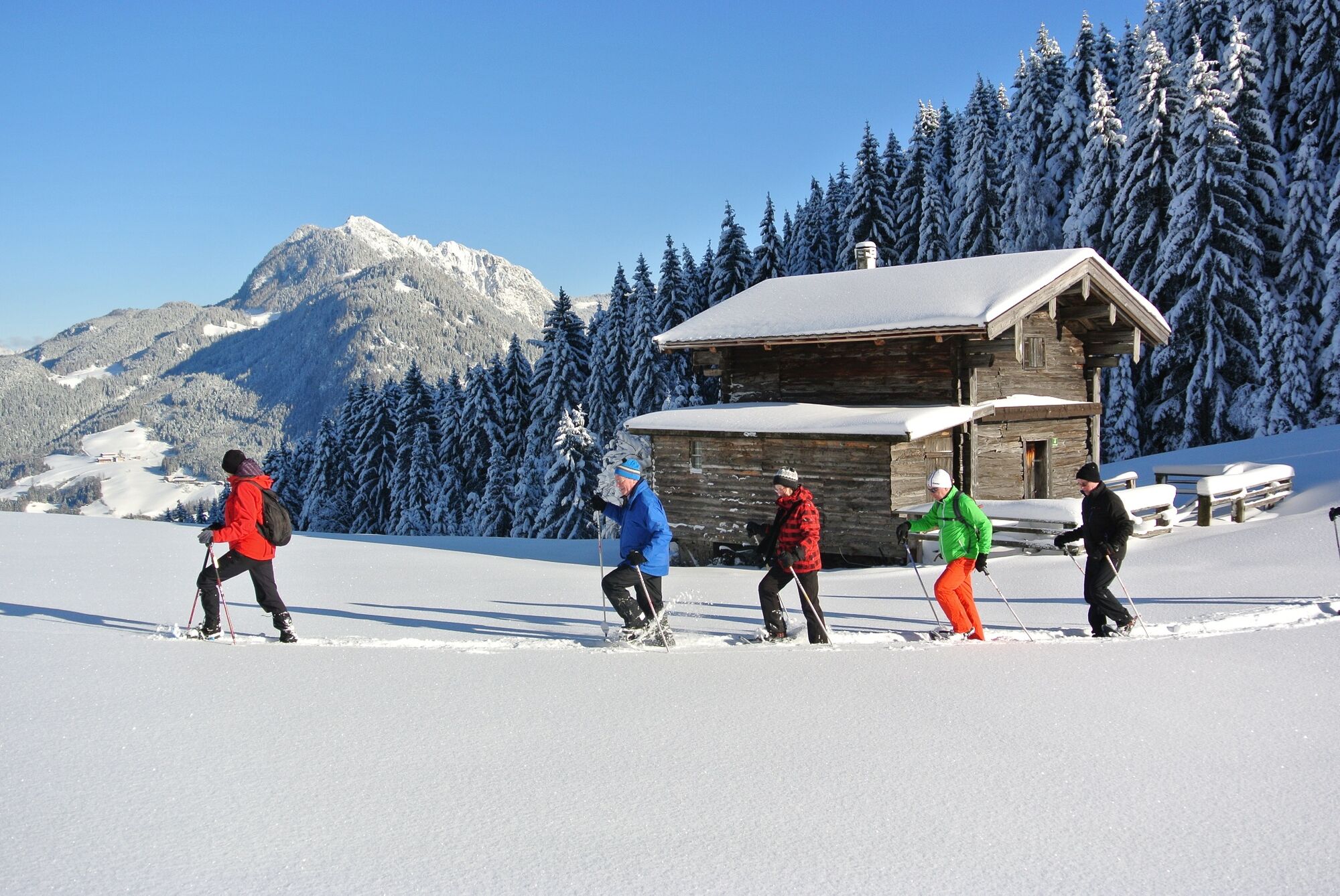
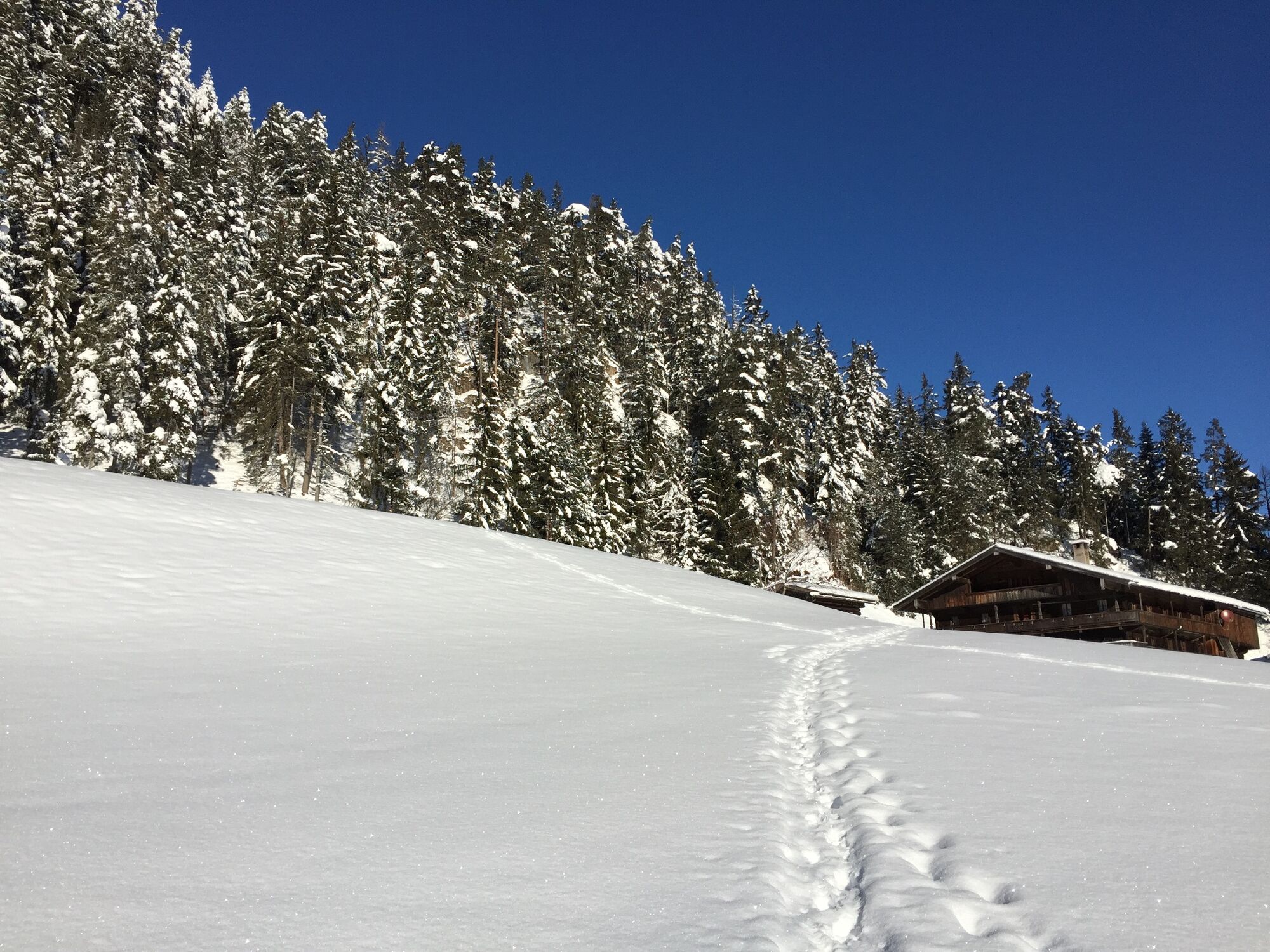
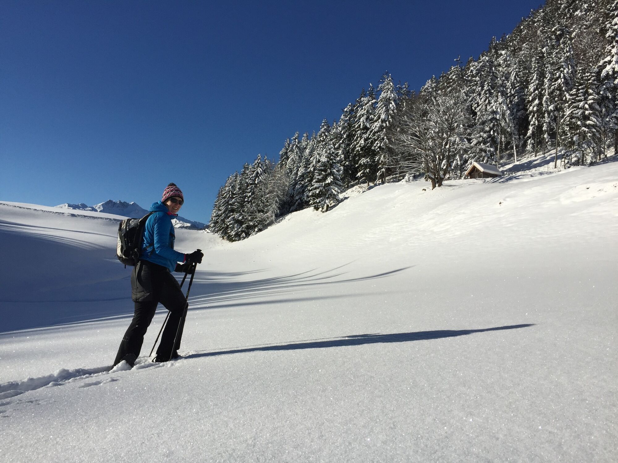
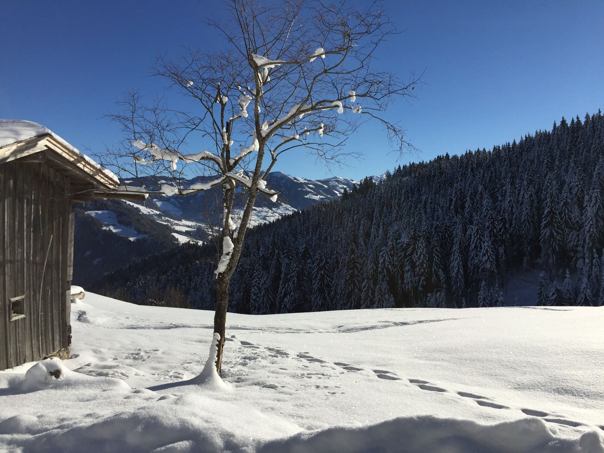
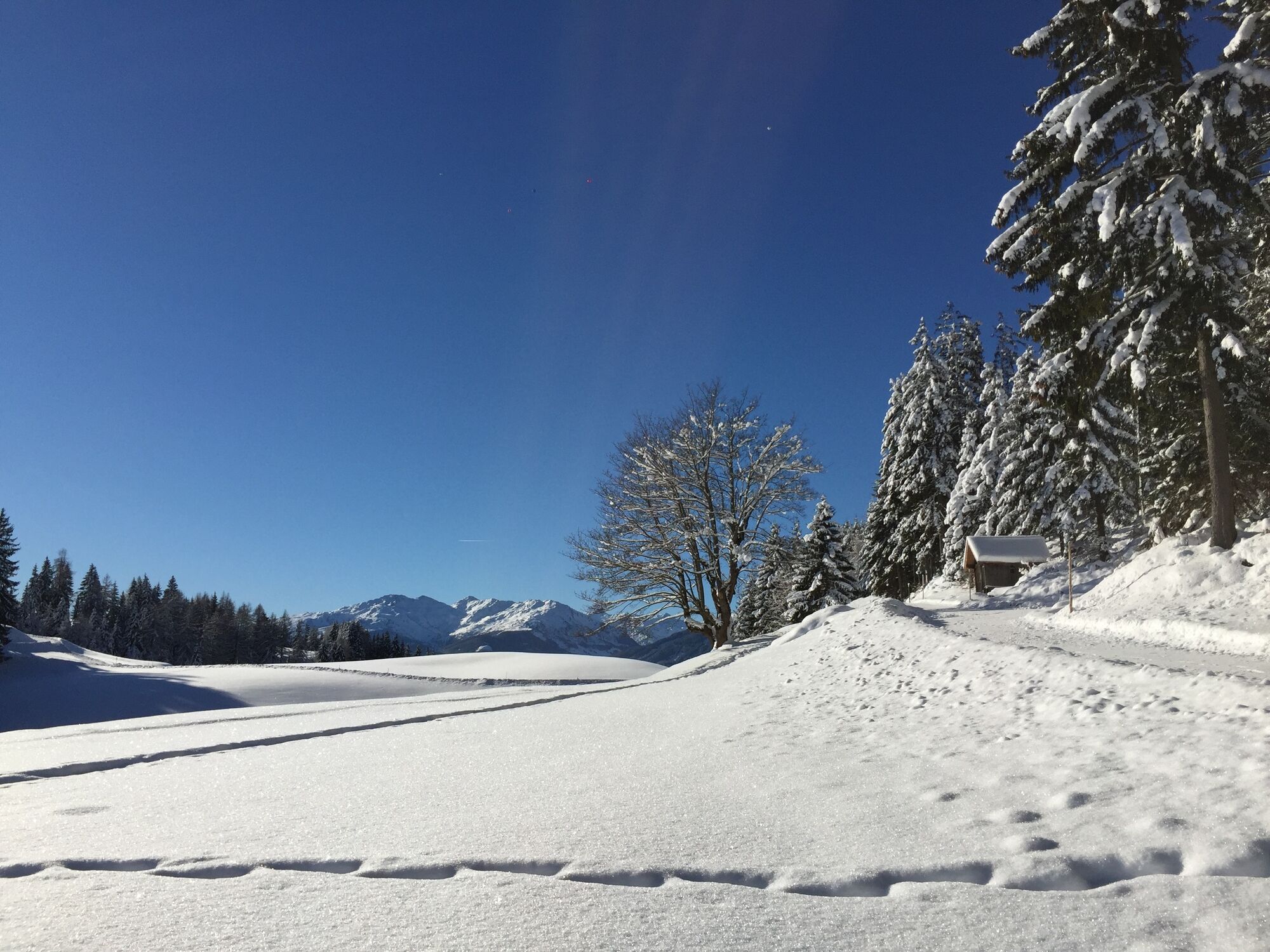
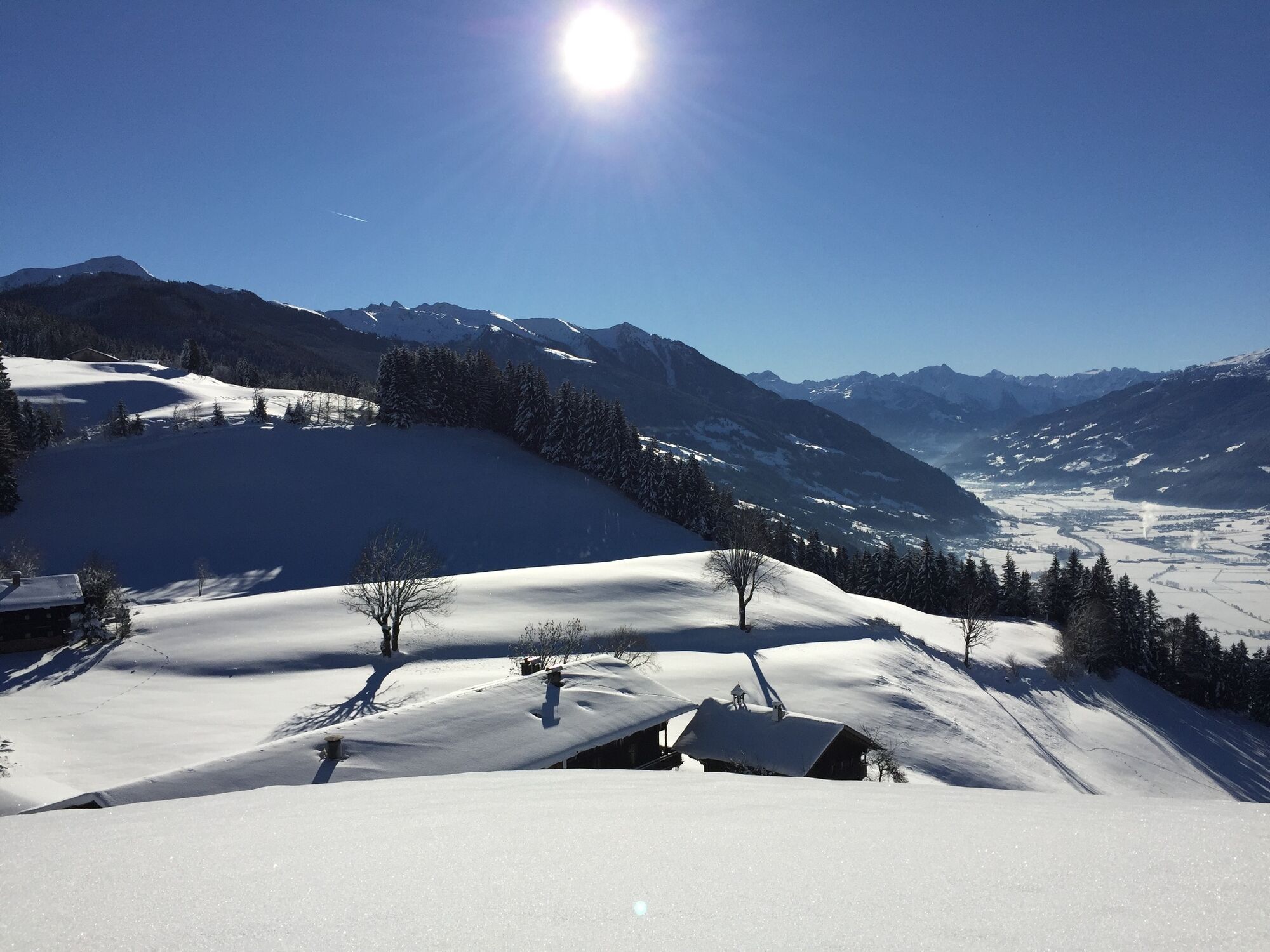
Easy snowshoe hike through idyllic woods and along a plateau at the foot of the Reither Kogel
- Svårighet
-
medium
- Utvärdering
-
- Väg
- Bästa säsongen
-
augsepoktnovdecjanfebmaraprmajjunjul
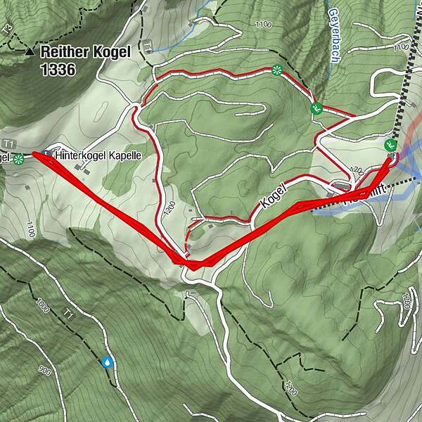
- Högsta punkt
- 1.238 m
- Destination
-
Reitherkogelbahn top station
- Höjdprofil
-


- Författare
-
Turnén Reither Kogel används av outdooractive.com förutsatt.
GPS Downloads


Allmän information
Lovande
Fler turer i regionerna
-
Alpbachtal
35
-
Bruck am Ziller
17