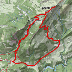
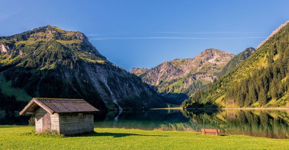
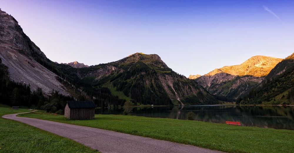
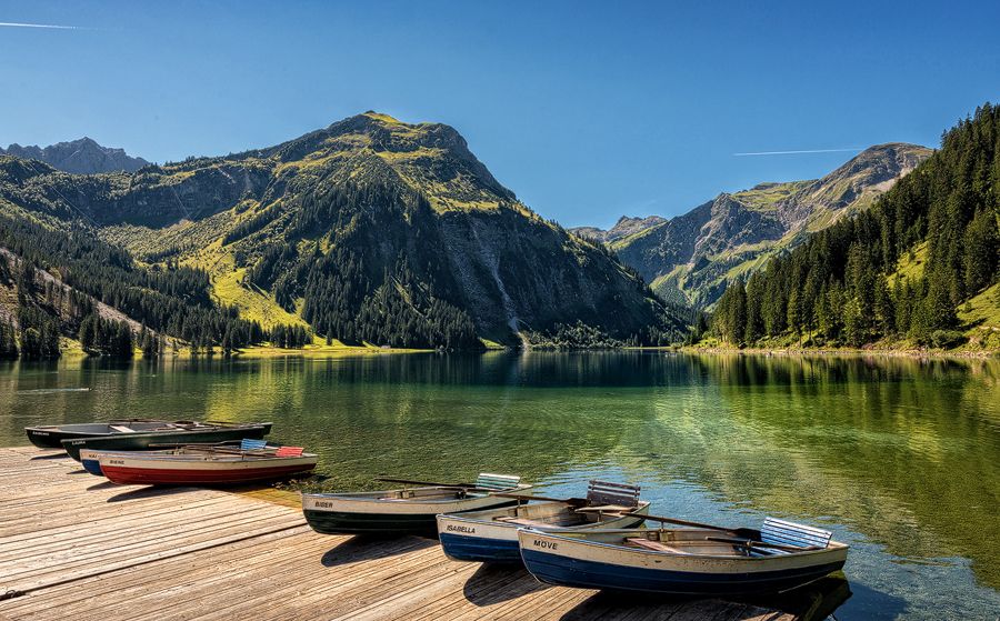
© Tannheimer Tal - TVB Tannheimer Tal
© Tannheimer Tal - TVB Tannheimer Tal

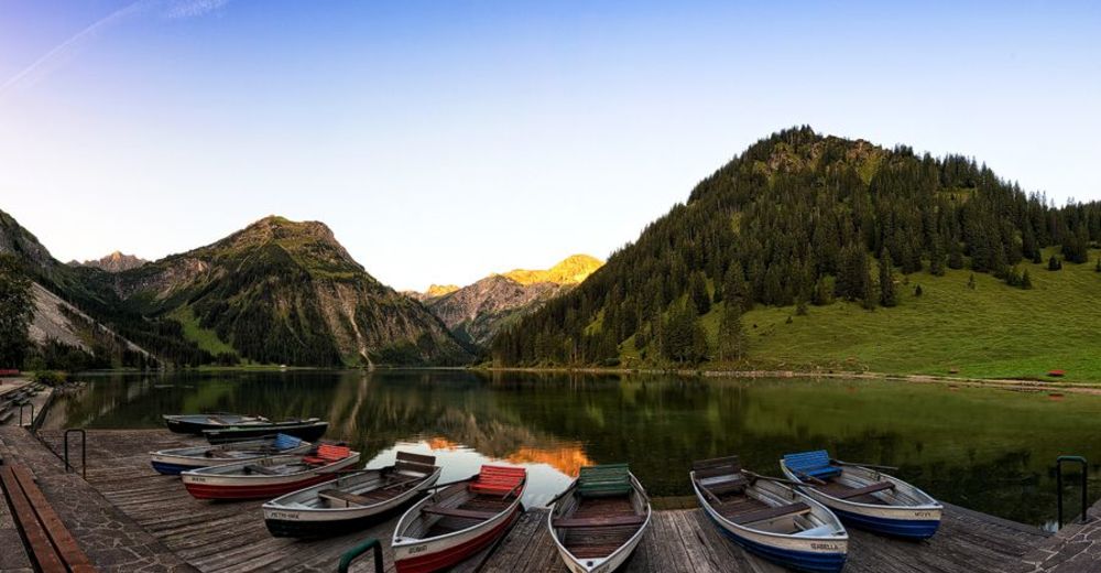
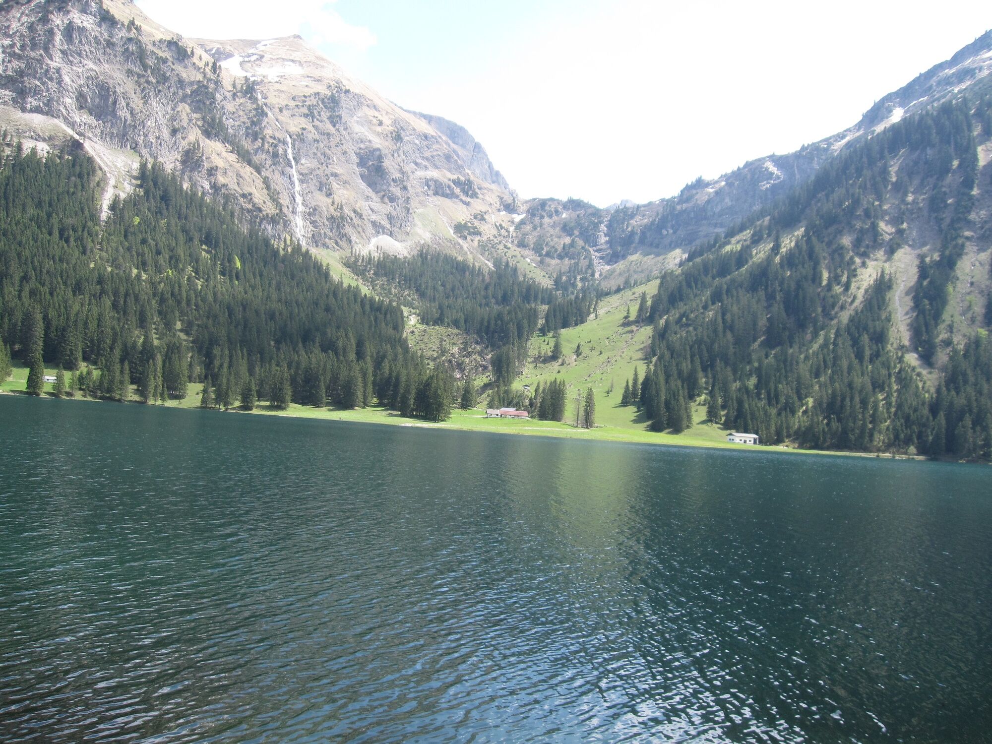
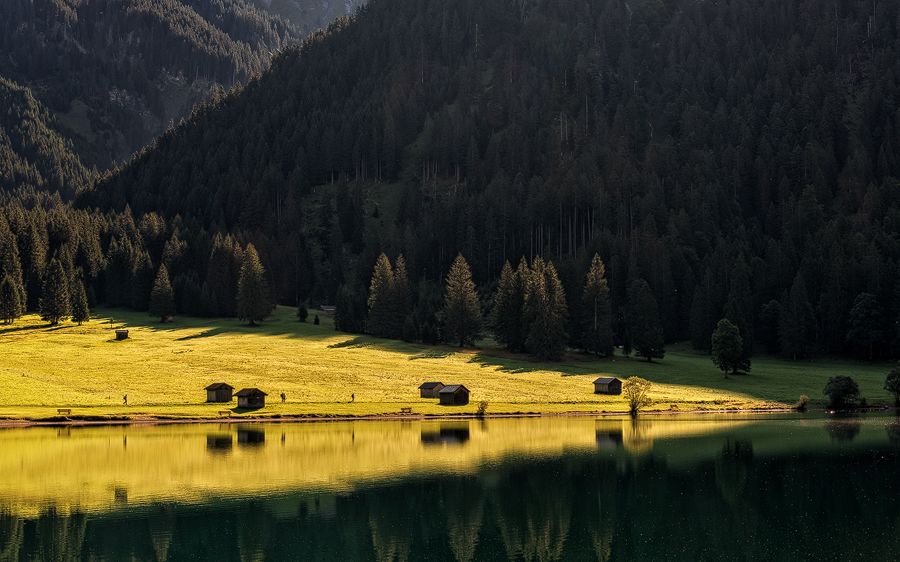
© Tannheimer Tal - kUNO

© Tannheimer Tal - kUNO
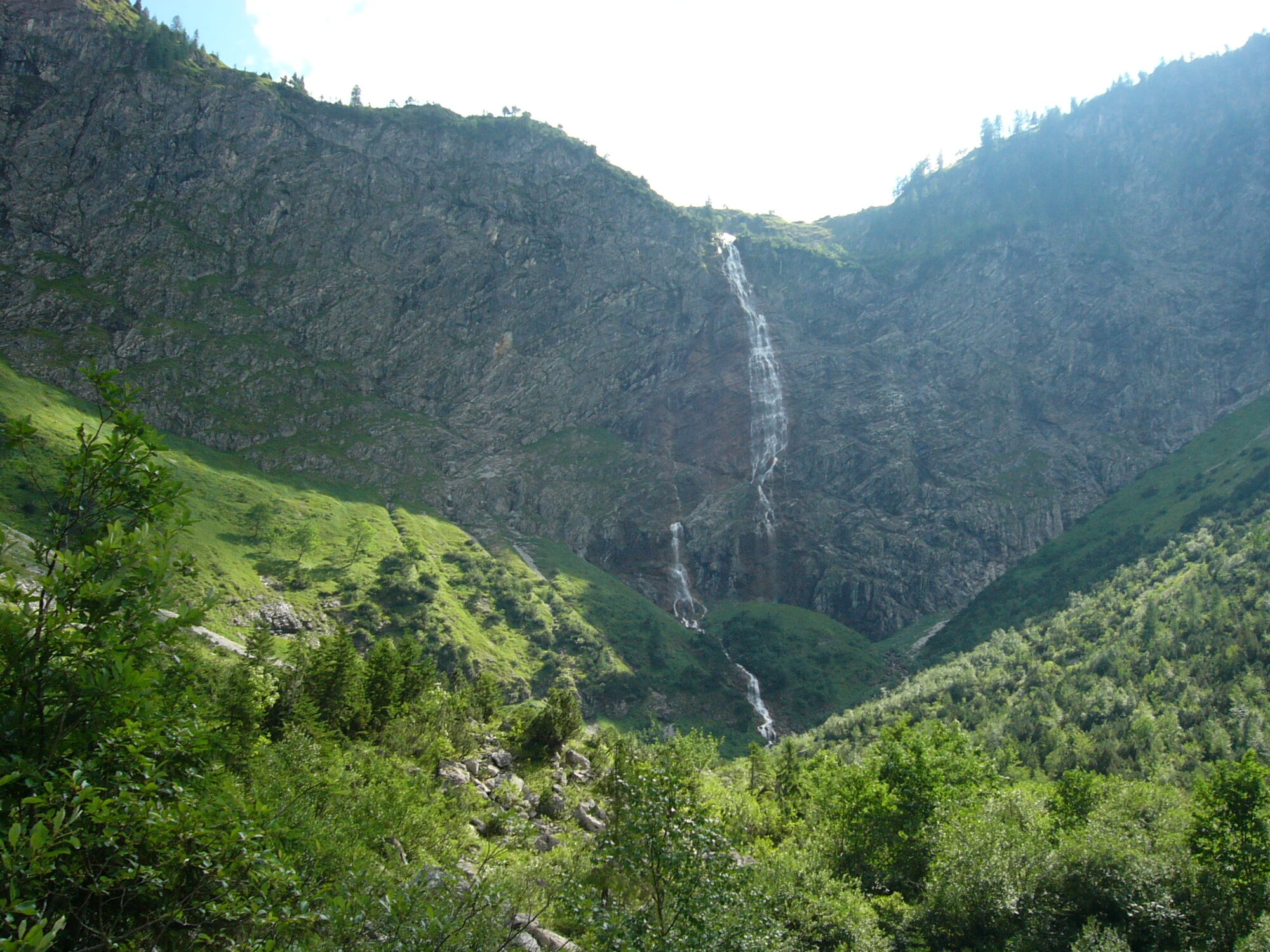
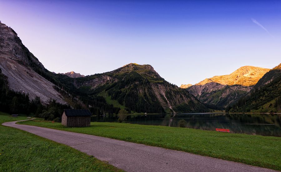
© Community - Wolfgang Staudt
© Community - Wolfgang Staudt
© Community - Wolfgang Staudt
© Community - Wolfgang Staudt
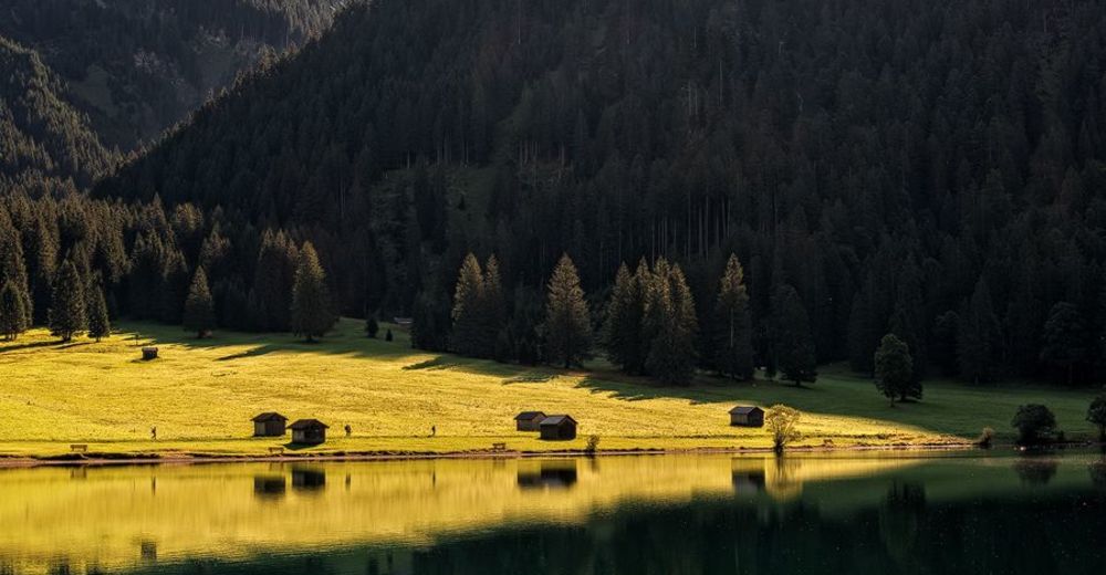
© Community - Wolfgang Staudt
© Community - Wolfgang Staudt


- Författare
-
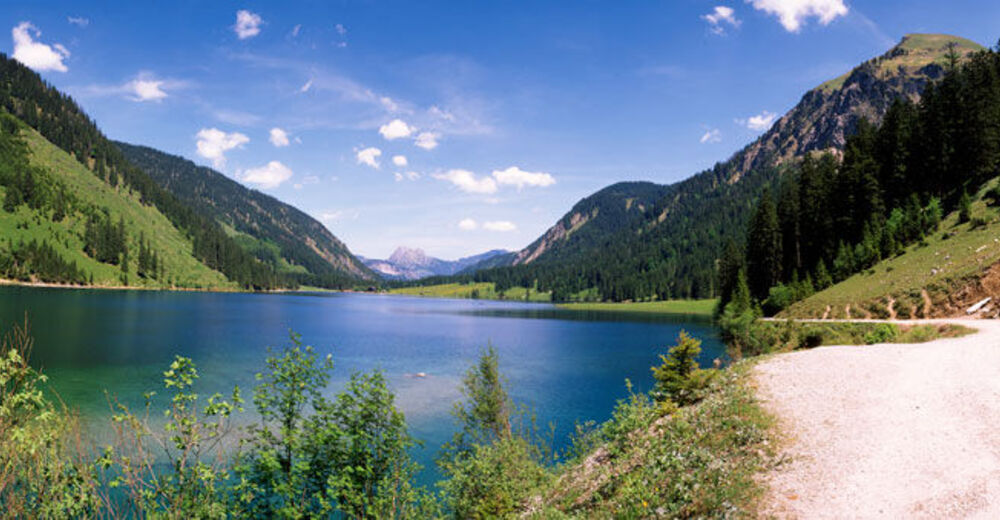
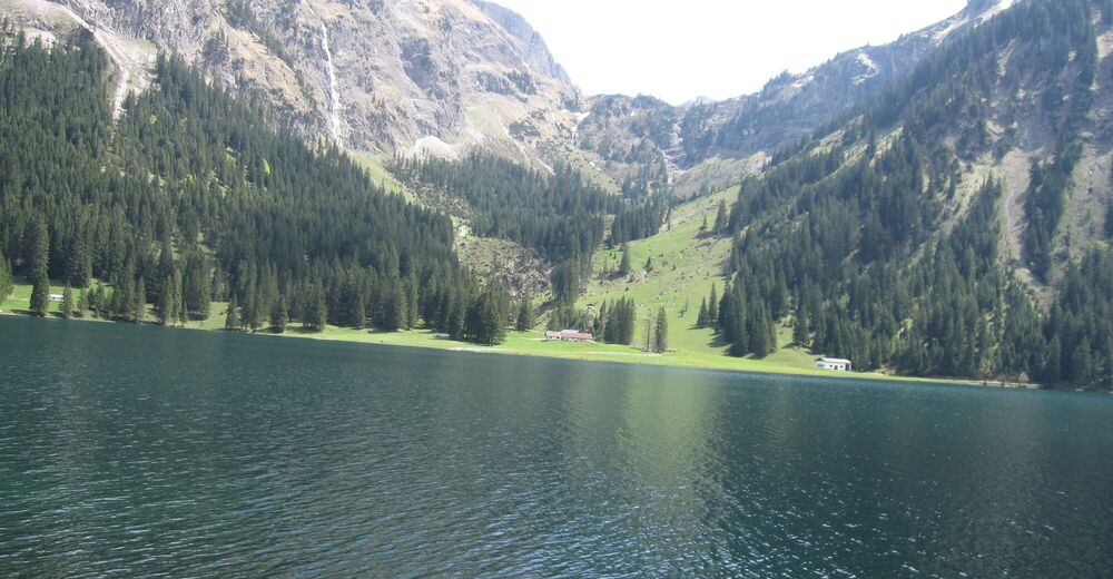
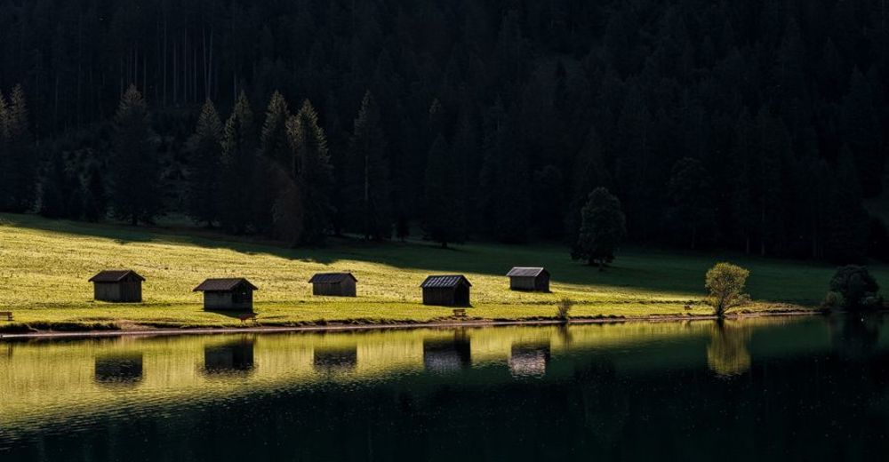
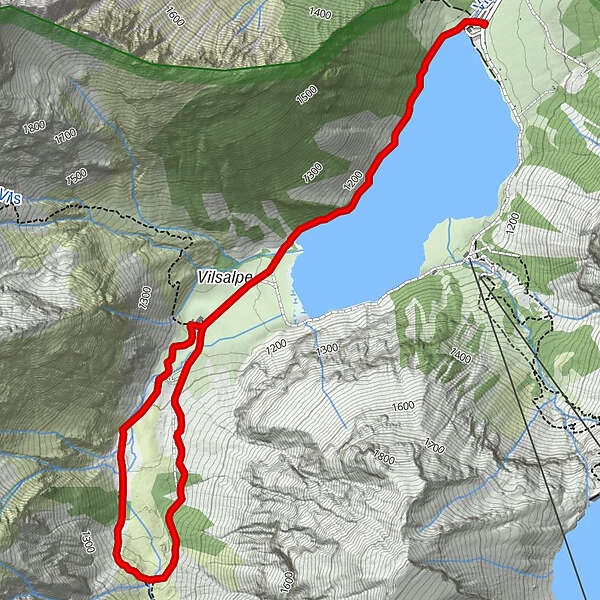
Turnén Along the Vilsalpsee to the Bergacht waterfall används av outdooractive.com förutsatt.
GPS Downloads


Allmän information
Förfriskningsstopp
Flora
Fauna
Lovande
Fler turer i regionerna
-
Allgäu
2357
-
Tannheimer Tal
1454
-
Tannheim
519