


- Kort beskrivning
-
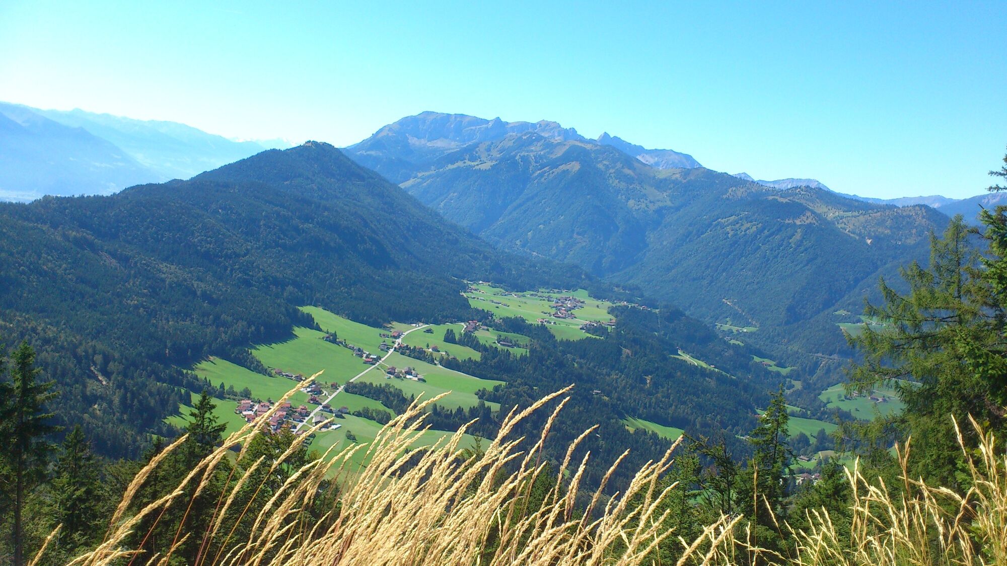
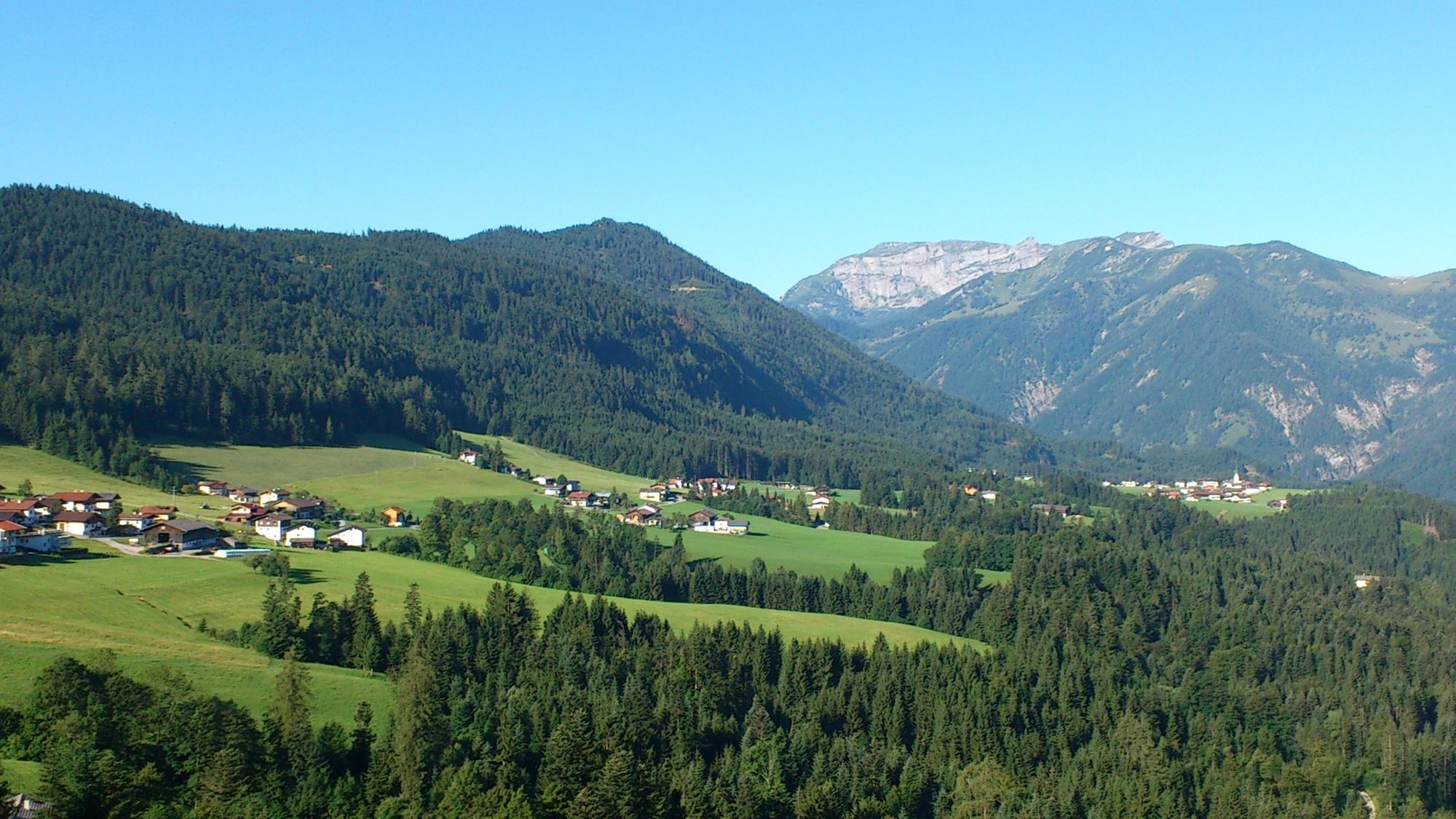
Day 1: from Kramsach via Voldöppberg to Brandenberg --> approx. 5 - 6 h
Day 2: from Brandenberg via the Jocheralm to the Kienberg and descent to Pinegg --> approx. 6 - 7 h
Day 3: from Pinegg via Aschau, Anderl´s Hütte to Lake Zirein and the Bayreuther Hütte --> approx. 7 - 8 h
Day 4: from the Bayreuther Hütte - walk back down to the valley and the starting point --> approx. 2 h
- Svårighet
-
medium
- Utvärdering
-
- Väg
-
Radetzkyweg0,0 kmMariatal (533 m)0,3 kmGasthaus Mariathal0,3 kmWallfahrtskirche (Basilika) Hl.Dominikus zu Mariathal0,4 kmVoldöpper Spitze (1.509 m)5,6 kmBrandenberg9,8 kmAscherwirt9,8 kmHeiliger Georg9,9 kmNeuwirt9,9 kmJocheralm16,2 kmHeuberg17,2 kmKienberg (1.786 m)18,3 kmEinkehralm (1.446 m)20,2 kmHeubrandalm (1.321 m)21,7 kmPinegg28,5 kmKapelle Pinegg28,5 kmHaaserwirt33,1 kmBurgstall (894 m)33,8 kmBrandl (1.145 m)35,7 kmEilalm (1.387 m)37,9 kmAnderl's Hütte39,2 kmLabegg Alm (1.545 m)39,8 kmKreuzeinjoch (1.702 m)40,9 kmRoßkogel (1.940 m)43,4 kmZireiner See44,1 kmBergalm47,9 kmBayreuther Hütte (1.560 m)48,0 kmLiftstüberl54,7 kmRadetzkyweg54,7 km
- Bästa säsongen
-
janfebmaraprmajjunjulaugsepoktnovdec
- Högsta punkt
- 1.927 m
- Destination
-
Kramsach
- Höjdprofil
-


- Författare
-
Turnén 4 days - 4 summits tour används av outdooractive.com förutsatt.
GPS Downloads


Allmän information
Förfriskningsstopp
Lovande
Fler turer i regionerna
-
Alpbachtal
1473
-
Brandenberg
396


