

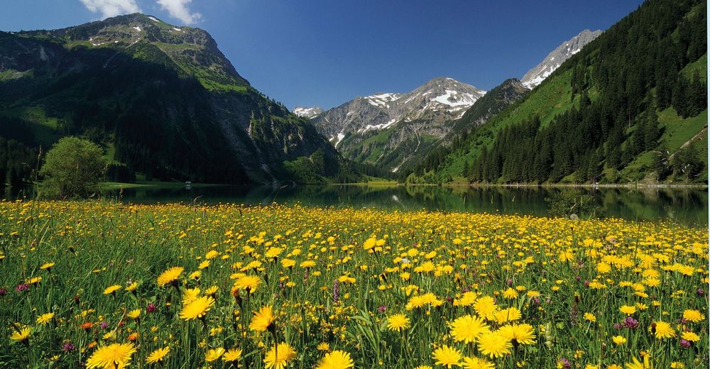
© Outdooractive Premium - Hartmut Wimmer

© Outdooractive Premium - Hartmut Wimmer

© Outdooractive Premium - Hartmut Wimmer
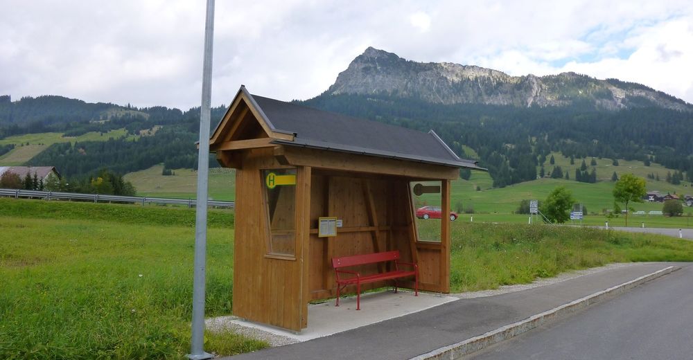
© Tannheimer Tal - Michael Keller
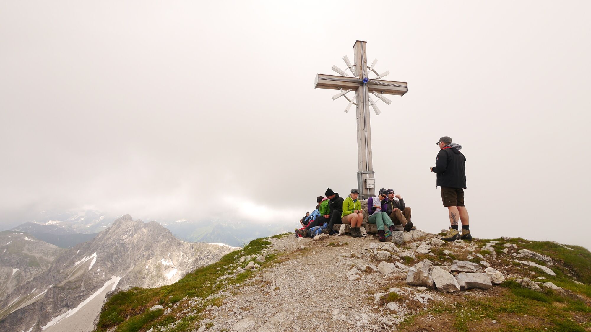
© Tannheimer Tal - kUNO
- Kort beskrivning
-
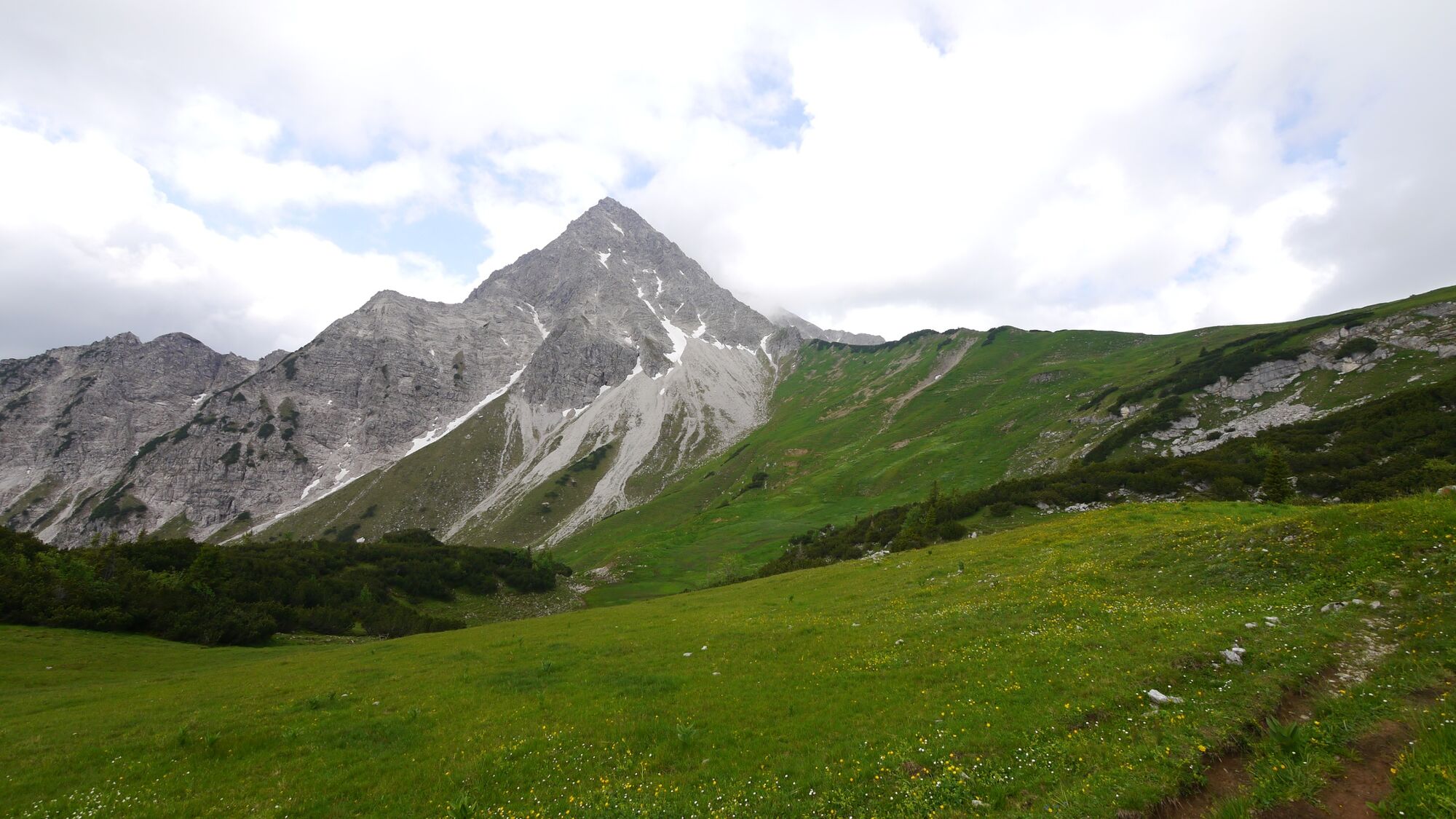
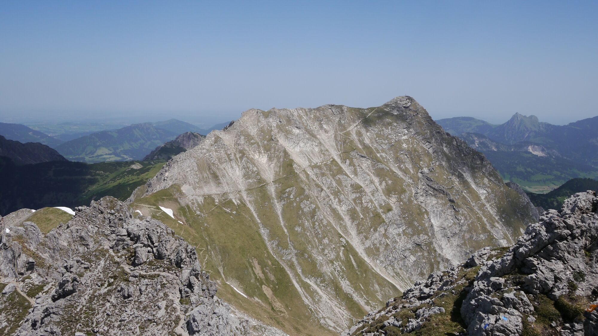
First-class summit hike to the highest mountain of the Tannheimer Tal
- Svårighet
-
tung
- Utvärdering
-
- Väg
-
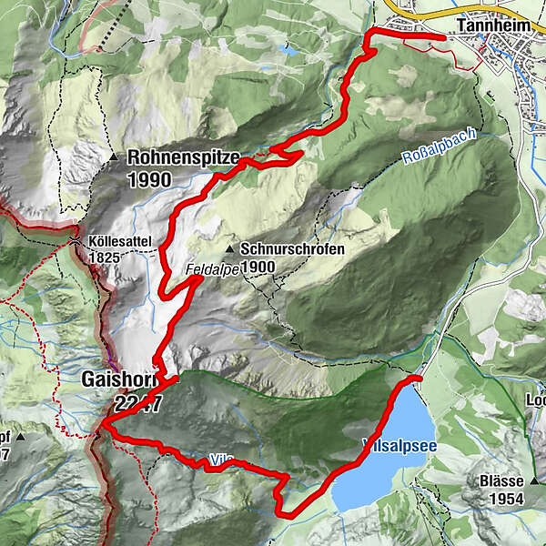
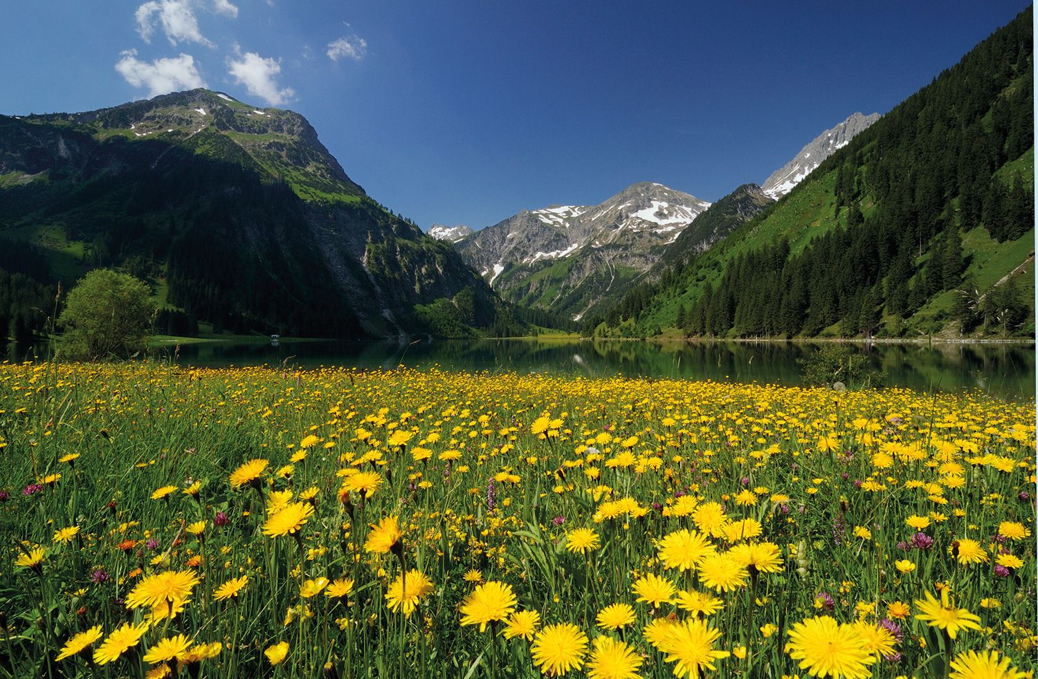
Tannheim (1.097 m)Neu Kienzen0,3 kmÄlpele4,0 kmGaishorn (2.247 m)7,3 kmVilsalpe11,2 kmHaubentaucher13,0 km
- Bästa säsongen
-
janfebmaraprmajjunjulaugsepoktnovdec
- Högsta punkt
- 2.237 m
- Destination
-
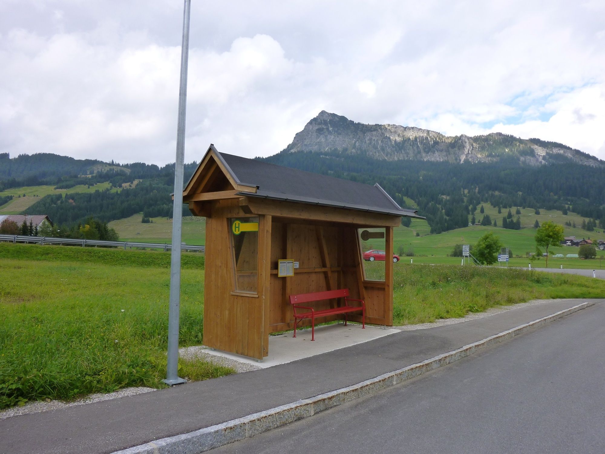
Bus stop at Vilsalpsee
- Höjdprofil
-

-

-
FörfattareTurnén To the Gaishorn in Tannheim används av outdooractive.com förutsatt.
GPS Downloads


Allmän information
Förfriskningsstopp
Tips från insatta
Flora
Fauna
Lovande
Fler turer i regionerna
-
Allgäu
2357
-
Tannheimer Tal
1454
-
Tannheim
519


