© APT - Alpe Cimbra - Azienda per il turismo Alpe Cimbra

© APT - Alpe Cimbra - Azienda per il turismo Alpe Cimbra

© APT - Alpe Cimbra - Azienda per il turismo Alpe Cimbra

© APT - Alpe Cimbra - Azienda per il turismo Alpe Cimbra

© APT - Alpe Cimbra - Azienda per il turismo Alpe Cimbra

© APT - Alpe Cimbra - Azienda per il turismo Alpe Cimbra

© APT - Alpe Cimbra - Azienda per il turismo Alpe Cimbra

© APT - Alpe Cimbra - Azienda per il turismo Alpe Cimbra
- Kort beskrivning
-
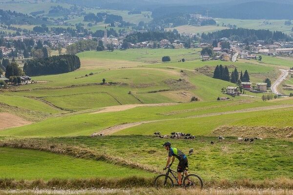
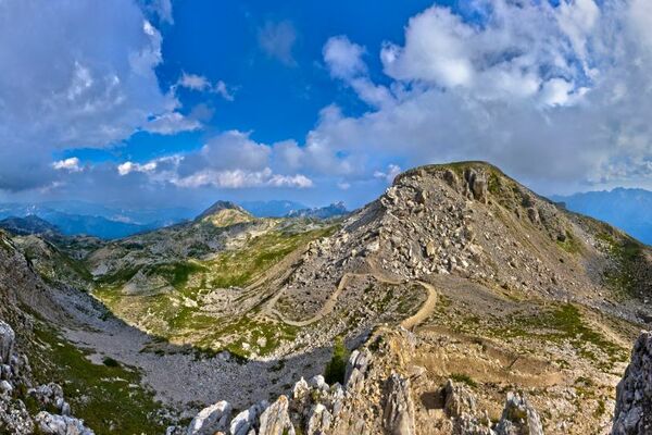
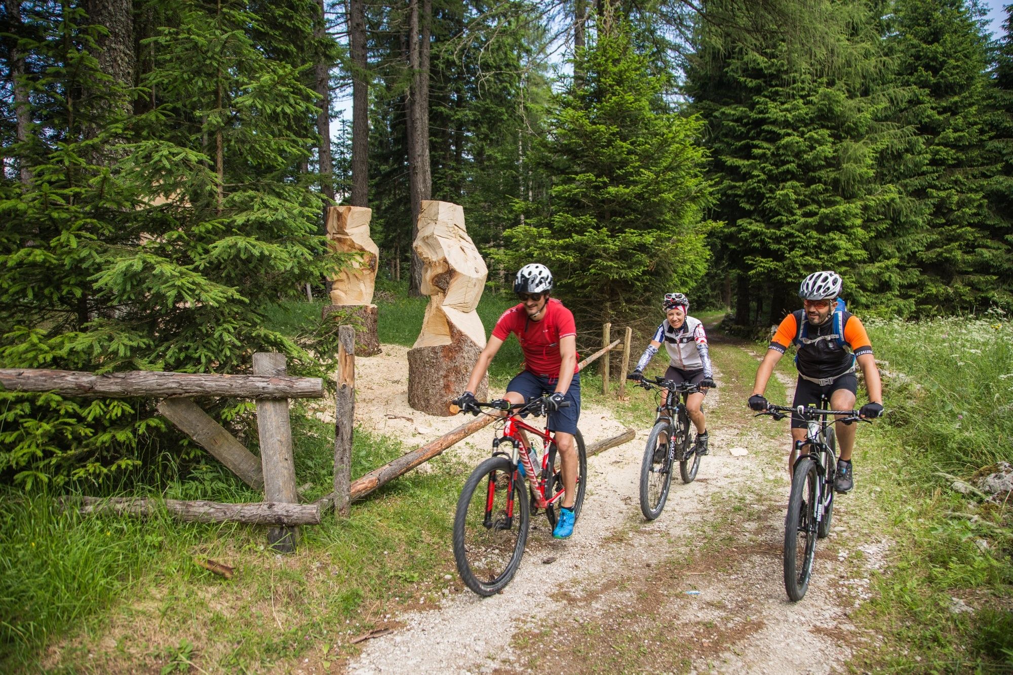
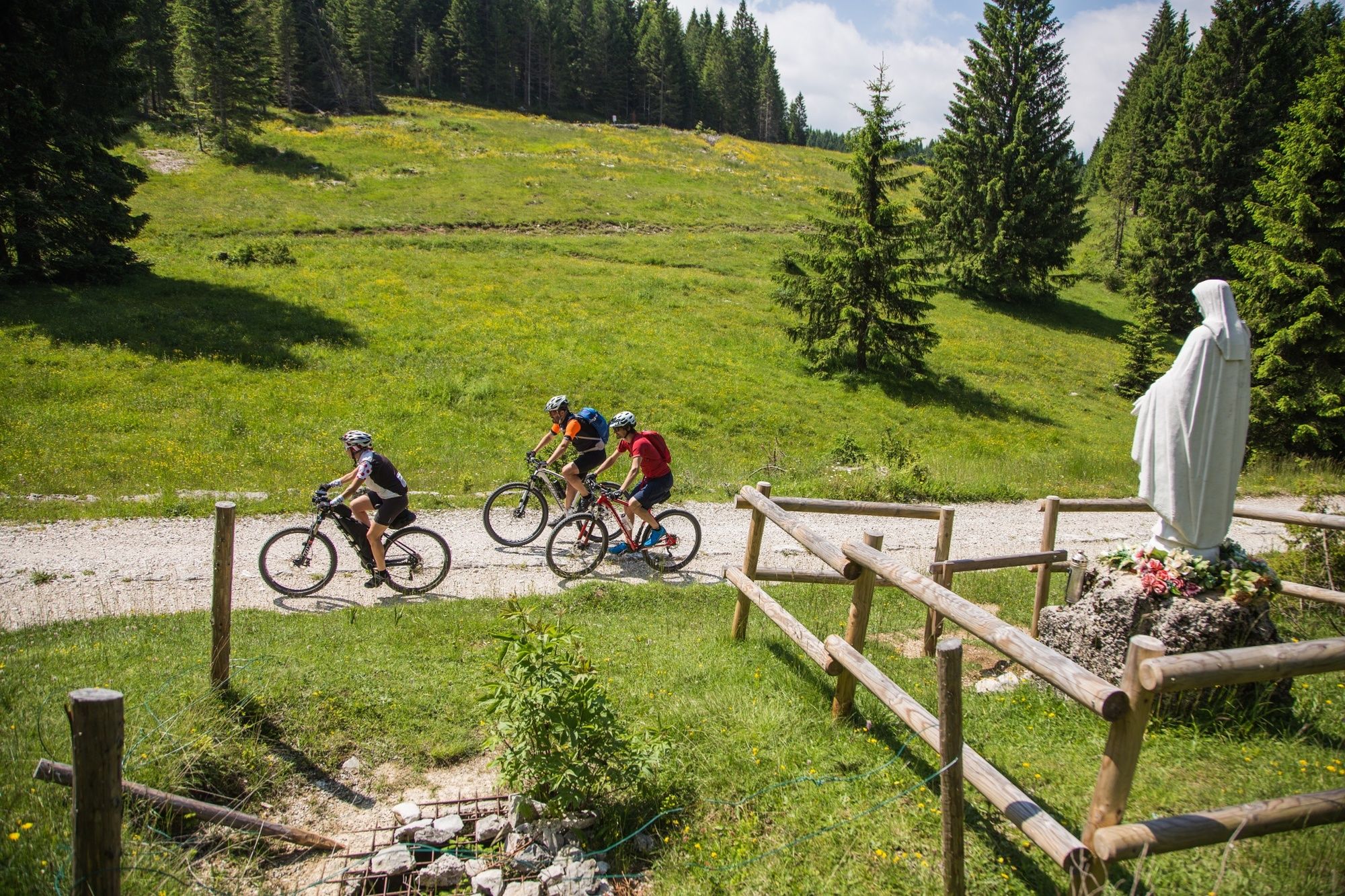
Lusernese loop of the 100 Km dei Forti route. Varied, fun, challenging! It covers the entire Zimber Lant, the Cimbrian community in the Trentino area, an exceptional testimony of history and culture. All this in one of the most beautiful natural settings in Trentino!
- Svårighet
-
tung
- Utvärdering
-
- Väg
-
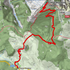
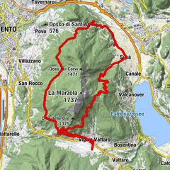
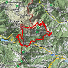
LusernTetsch1,0 kmChiesa di San Giovanni Battista2,4 kmMasetti2,5 kmBaita Cangi (1.370 m)12,5 kmBar Ristorante Baita al Verle16,4 kmFonte Costesin (Obartrogar)25,5 kmMalga Campo30,7 kmMillegrobbe34,5 kmMalga Millegrobbe34,5 kmTetsch38,6 kmLusern39,0 km
- Bästa säsongen
-
janfebmaraprmajjunjulaugsepoktnovdec
- Högsta punkt
- 1.577 m
- Destination
-
Luserna / Lusérn
- Höjdprofil
-
 © outdooractive.com


-

-
FörfattareTurnén 844 - 100 Km dei Forti - Lusern används av outdooractive.com förutsatt.
GPS Downloads


Allmän information
Kulturell/Historisk
Flora
Fauna
Fler turer i regionerna