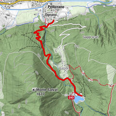
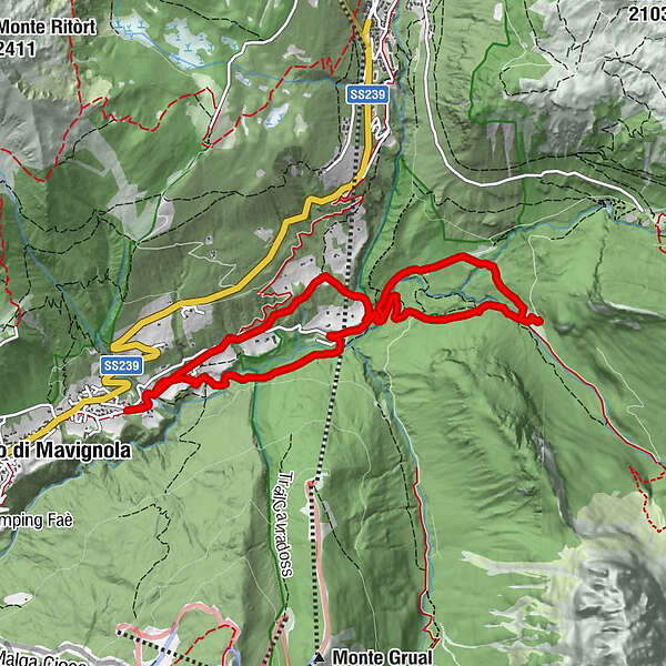
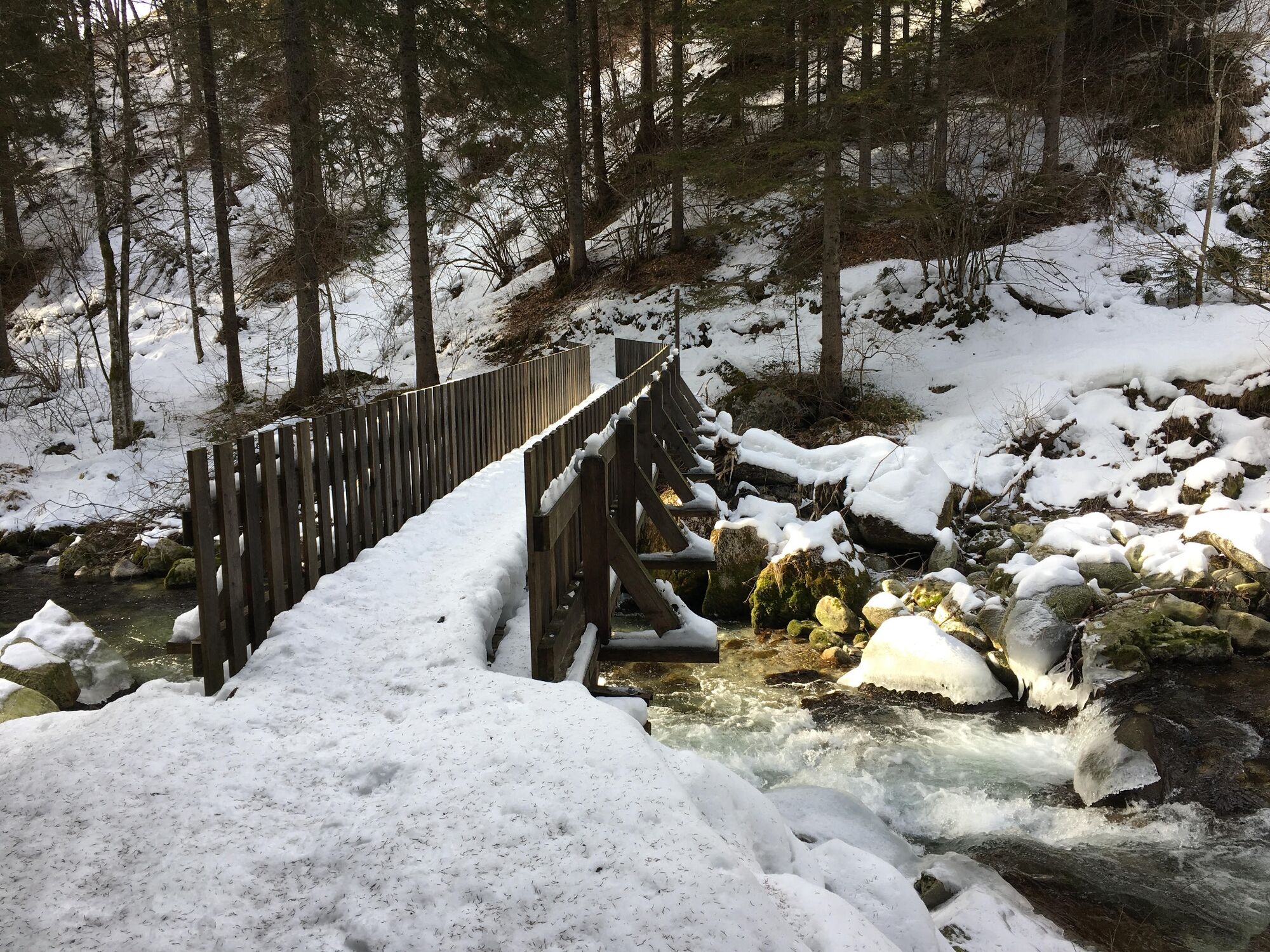
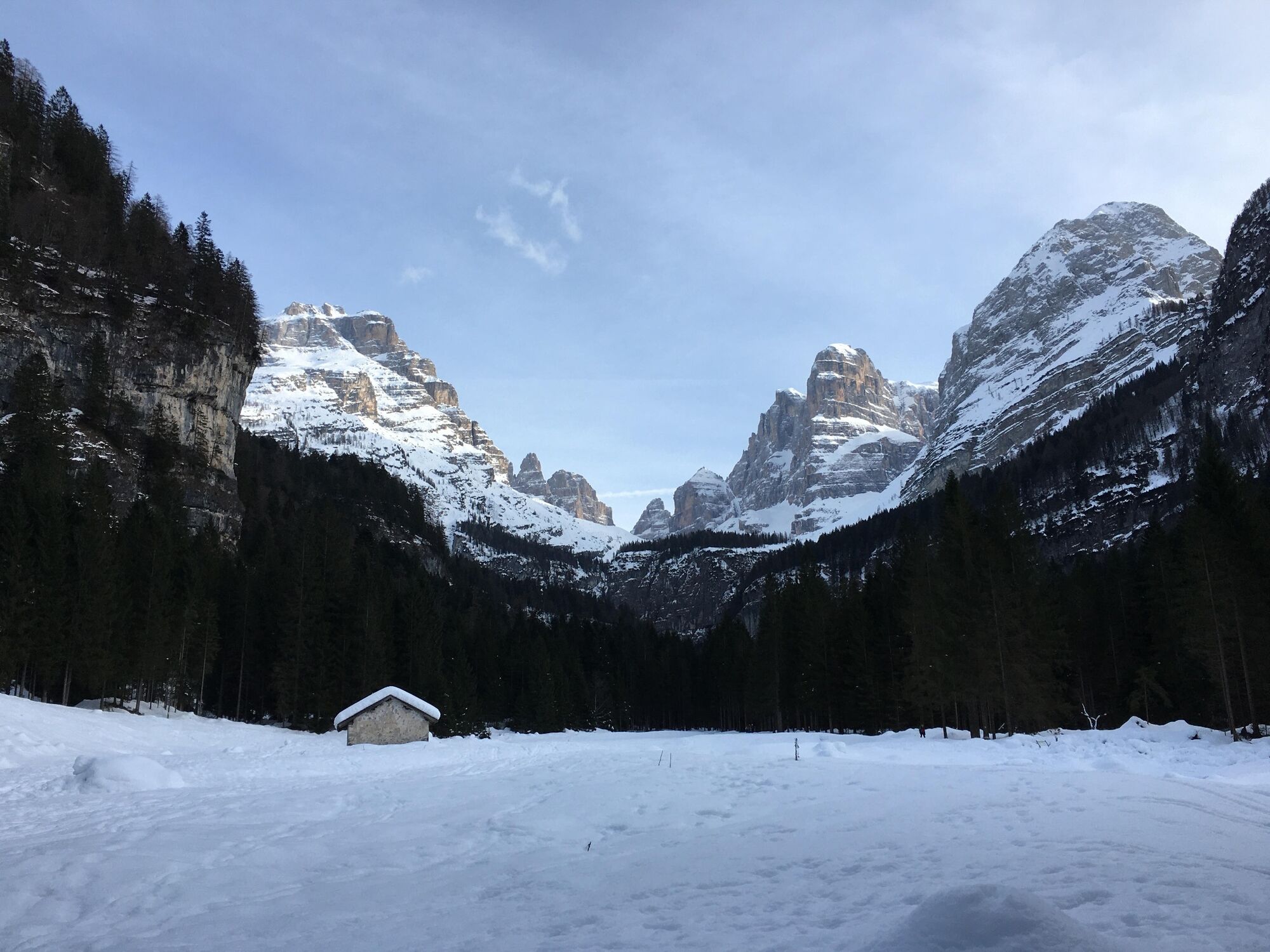
Trail n. 12 Val Brenta - Malga Brenta Bassa - showshoeing itinerary


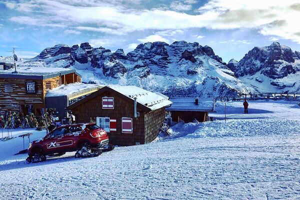
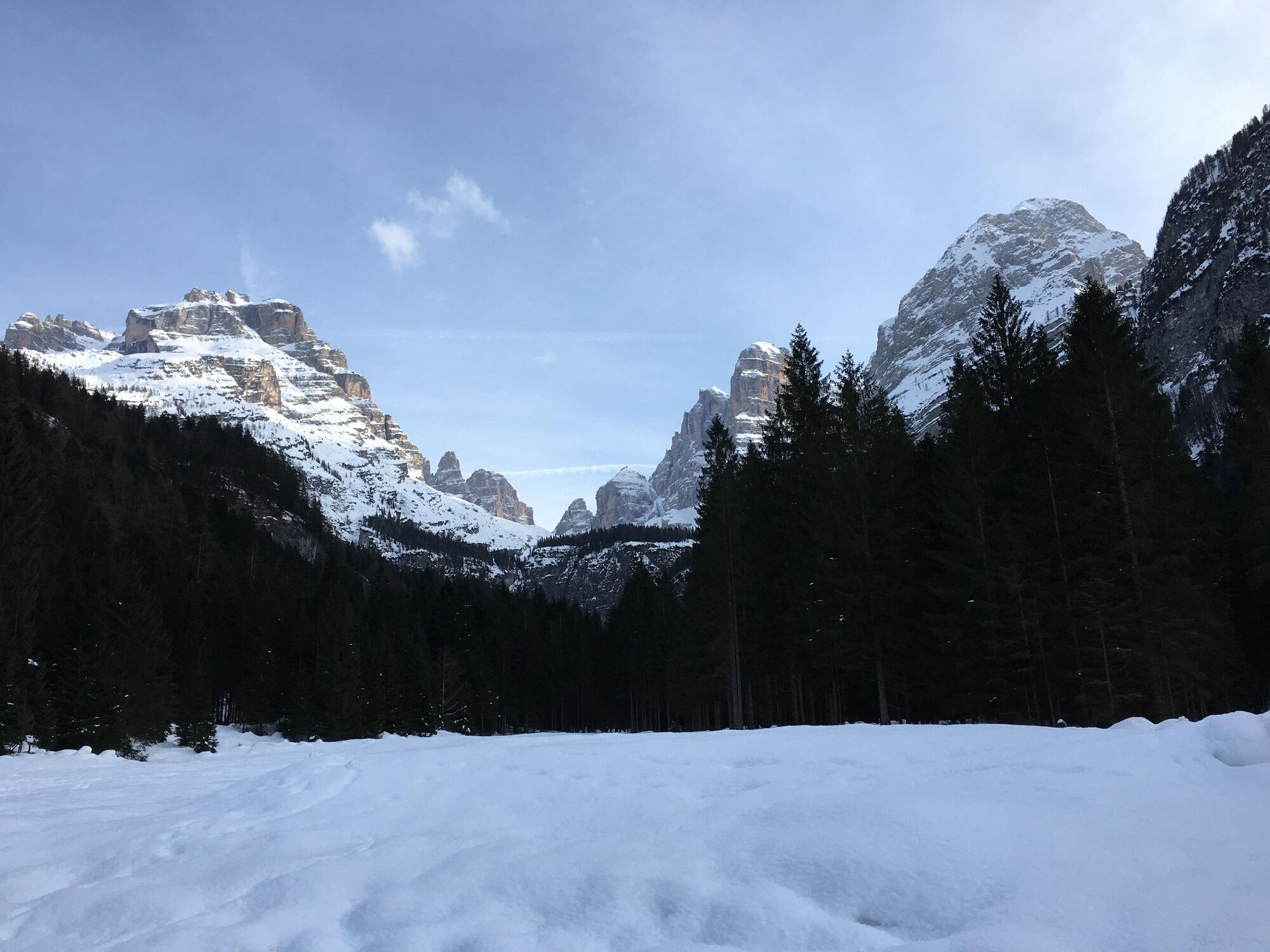
© APT - Madonna di Campiglio, Pinzolo, Val Rendena - Luca Binelli

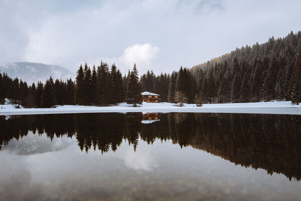
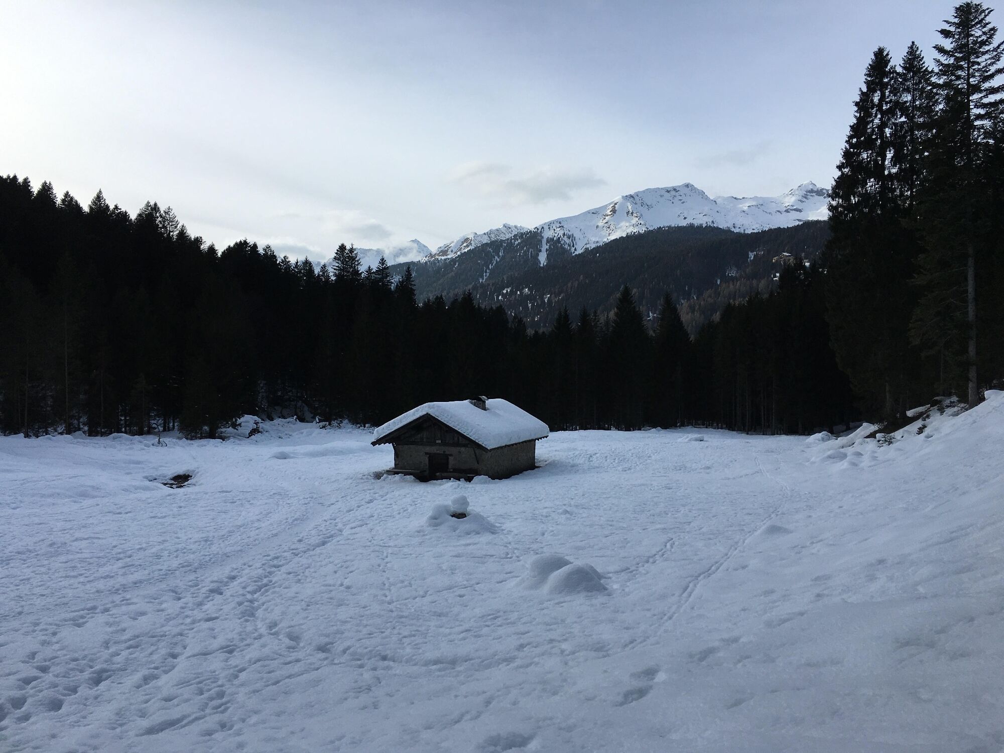
© APT - Madonna di Campiglio, Pinzolo, Val Rendena - Luca Binelli

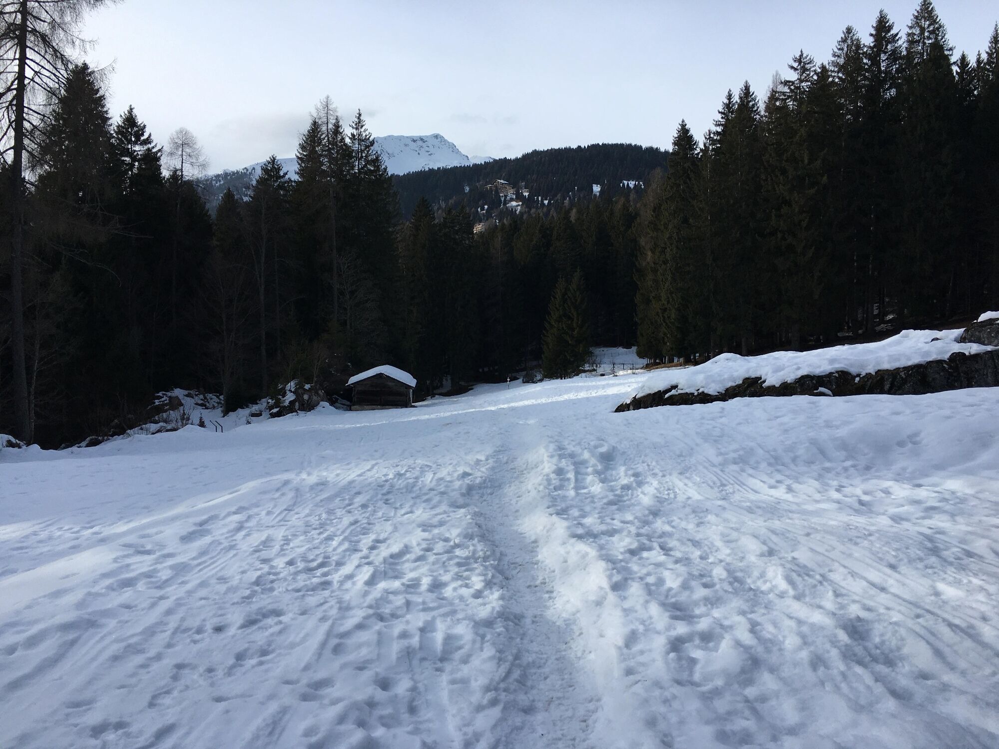
© APT - Madonna di Campiglio, Pinzolo, Val Rendena - Luca Binelli

© APT - Madonna di Campiglio, Pinzolo, Val Rendena - Luca Binelli

© APT - Madonna di Campiglio, Pinzolo, Val Rendena - Luca Binelli
Datum för turné
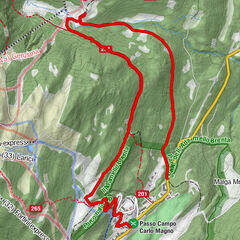
9,01km
1.129
- 1.285m
231hm
238hm
03:25h
- Kort beskrivning
-
An itinerary of intermediate difficulty, but without an excessive elevation gain, through the Brenta Valley in the heart of the Brenta Dolomites.
- Svårighet
-
medium
- Utvärdering
-
- Bästa säsongen
-
augsepoktnovdecjanfebmaraprmajjunjul
- Högsta punkt
- 1.285 m
- Destination
-
Prà de la Casa area
- Höjdprofil
-
 © outdooractive.com
-
-
FörfattareTurnén Trail n. 12 Val Brenta - Malga Brenta Bassa - showshoeing itinerary används av outdooractive.com förutsatt.
GPS Downloads


Allmän information
Tips från insatta
Flora
Fauna
Fler turer i regionerna