© APT - Trento, Monte Bondone e Valle dei Laghi - Daniela Bazzani

© APT - Trento, Monte Bondone e Valle dei Laghi - Daniela Bazzani

© APT - Trento, Monte Bondone e Valle dei Laghi - Daniela Bazzani

© APT - Trento, Monte Bondone e Valle dei Laghi - Daniela Bazzani

- Kort beskrivning
-
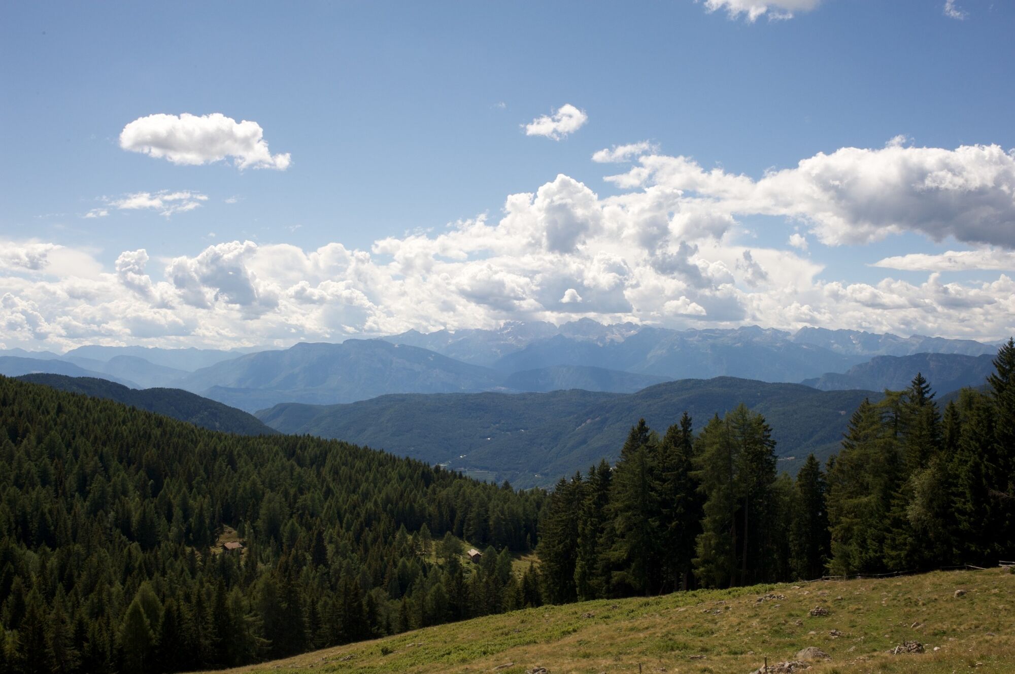
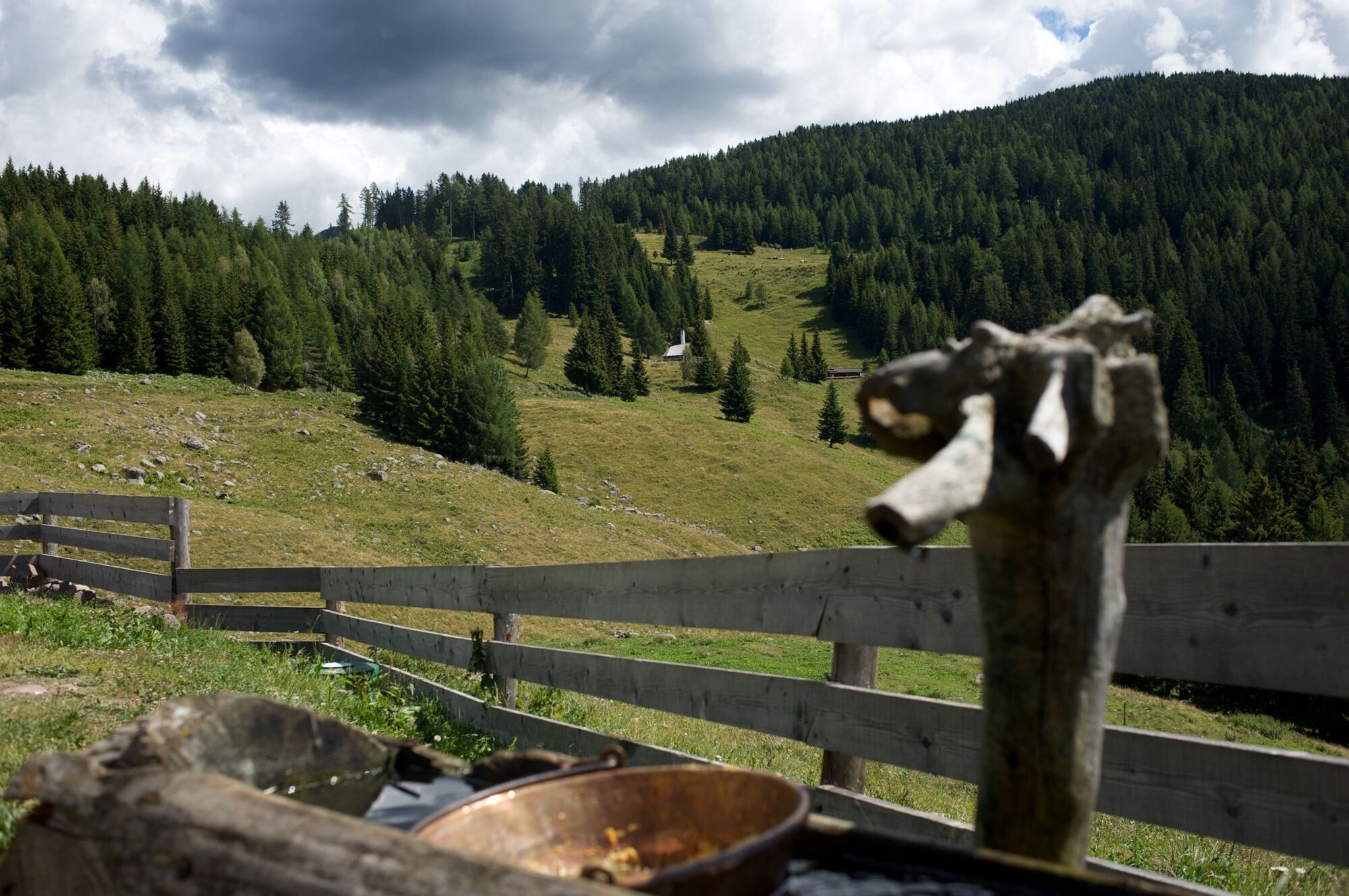
An adventurous itinerary to discover the mountain in all its essence, walking in the woods and enjoying the breathtaking landscape, immersed in the nature of Malga Vernera.
- Svårighet
-
medium
- Utvärdering
-
- Väg
-
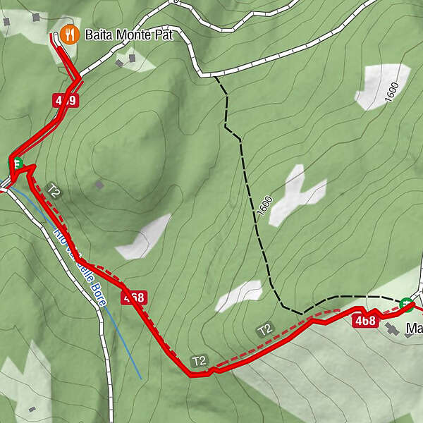
Baita Monte Pat
- Bästa säsongen
-
janfebmaraprmajjunjulaugsepoktnovdec
- Högsta punkt
- 1.668 m
- Destination
-
Baita Monte Pat, Montesover
- Höjdprofil
-
 © outdooractive.com

-

-
FörfattareTurnén From the Monte Pat hut to Malga Vernera används av outdooractive.com förutsatt.
GPS Downloads


Allmän information
Förfriskningsstopp
Läkande klimat
Tips från insatta
Flora
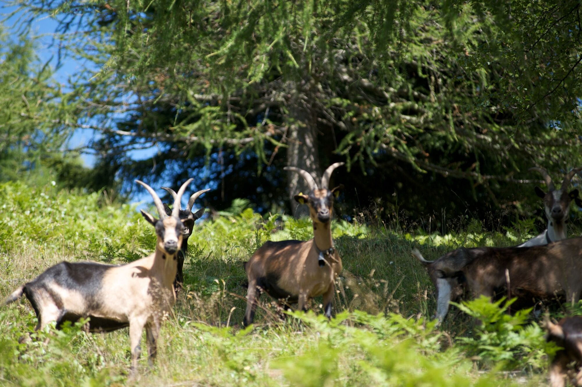
Fauna
Lovande
Fler turer i regionerna