© APT - Alpe Cimbra - Azienda per il turismo Alpe Cimbra

© Unbekannt - Apt Alpe Cimbra

© Unbekannt - Apt Alpe Cimbra

- Kort beskrivning
-
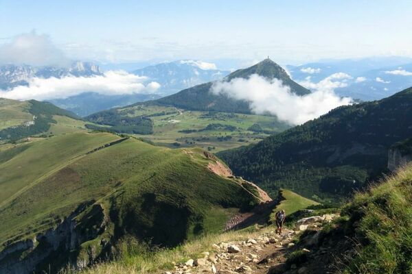
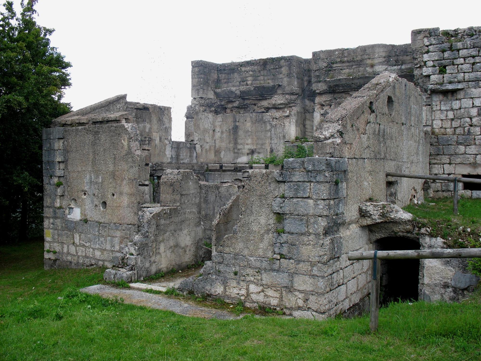
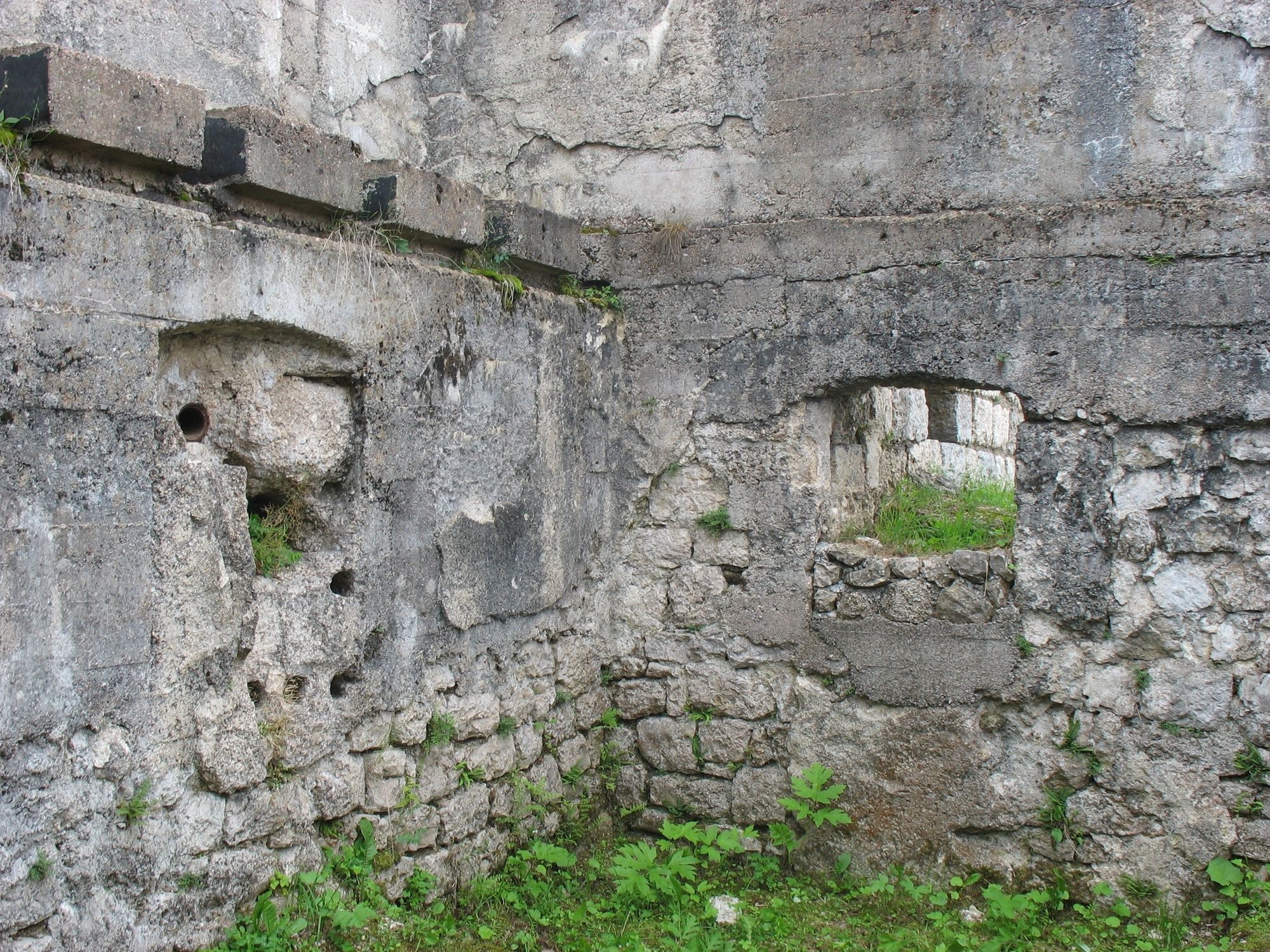
Mount Rust is a hill that rises between Lake Lavarone and the Carbonare saddle. During the Great War (1914-1918) it was chosen by the Austro-Hungarians to place an optical connection station on the summit, a structure that allowed the exchange of light messages, encrypted, between the Forts and the rear command posts. In the walls of the building, the holes that housed the electric projectors from which the signals were sent are visible.
Translated with www.DeepL.com/Translator (free version)
- Svårighet
-
lätt
- Utvärdering
-
- Väg
-
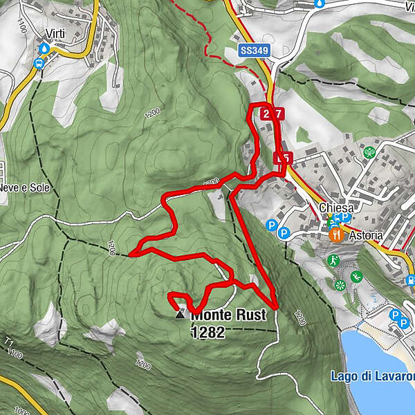
Monte Rust (1.282 m)1,7 km
- Bästa säsongen
-
janfebmaraprmajjunjulaugsepoktnovdec
- Högsta punkt
- 1.269 m
- Destination
-
West Chiesa
- Höjdprofil
-
 © outdooractive.com
-

-
FörfattareTurnén Giro del Rust används av outdooractive.com förutsatt.
GPS Downloads


Allmän information
Läkande klimat
Kulturell/Historisk
Flora
Lovande
Fler turer i regionerna