© Unbekannt - Skimania
- Kort beskrivning
-
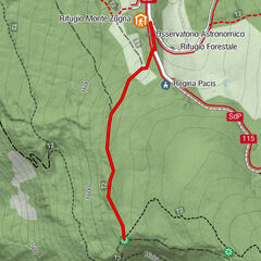
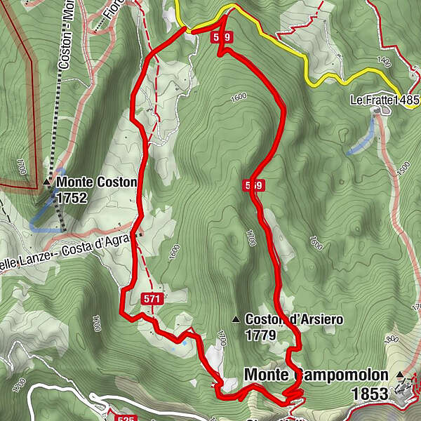
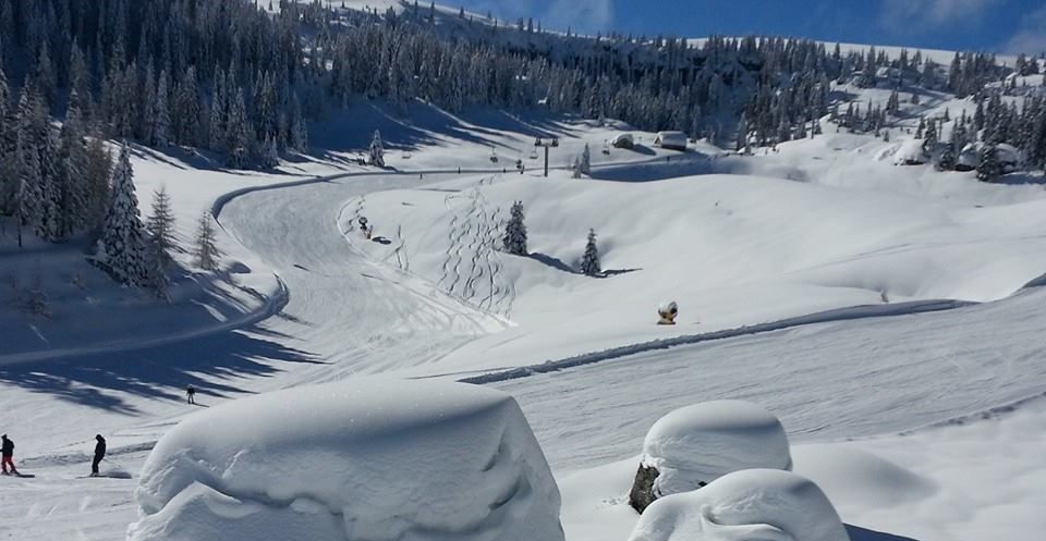
A beautiful route on the Fiorentini plateau, in a spectacular alpine environment, through fir forests and pastures. It is of medium difficulty, especially in the intermediate section.
- Svårighet
-
medium
- Utvärdering
-
- Väg
-
Dolina Campomolon4,2 km
- Bästa säsongen
-
augsepoktnovdecjanfebmaraprmajjunjul
- Högsta punkt
- 1.756 m
- Destination
-
Bocca di Campomolon
- Höjdprofil
-
 © outdooractive.com
- Författare
-
Turnén Giro del Coston d'Arsiero används av outdooractive.com förutsatt.
GPS Downloads


Allmän information
Kulturell/Historisk
Lovande
Fler turer i regionerna