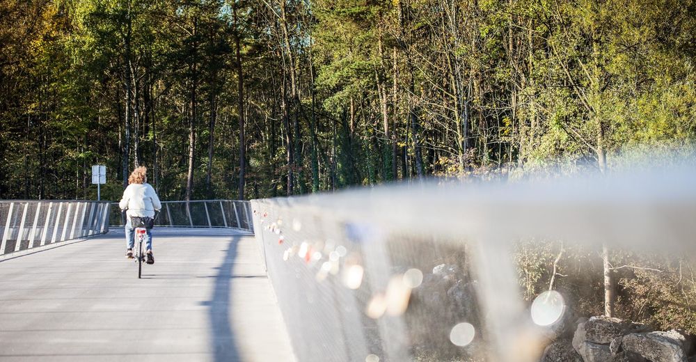
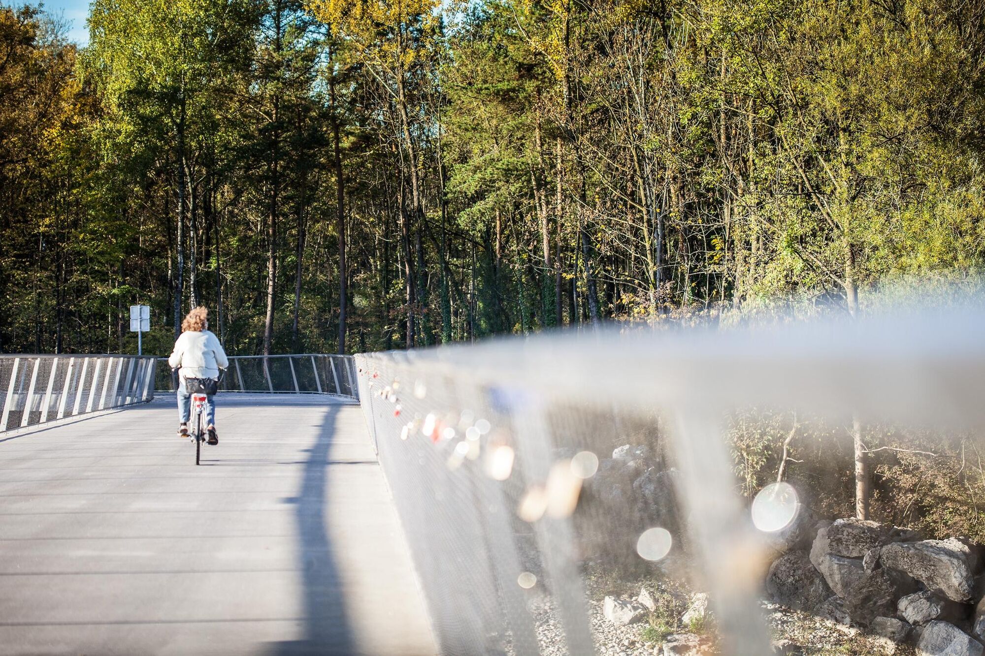
© Bodensee-Vorarlberg Tourismus - Petra Rainer

- Kort beskrivning
-
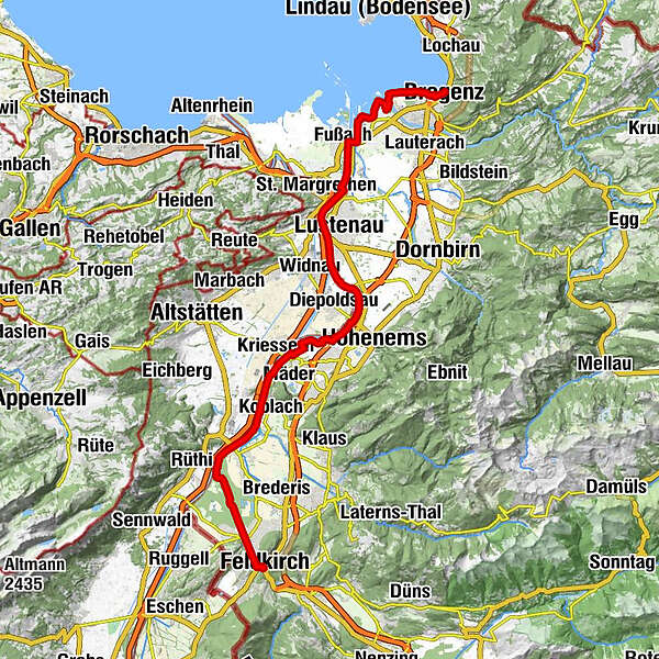
The Rheintal (Rhine Valley) cycle path leads from Bregenz to Feldkirch along the shores of Lake Constance and the River Rhine’s embankment.
- Svårighet
-
lätt
- Utvärdering
-
- Väg
-
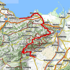
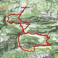
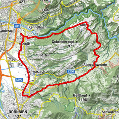
Bregenz (427 m)0,2 kmBregenz0,6 kmHard8,5 kmSt. Sebastian8,5 kmFußach11,5 kmAu (405 m)17,1 kmLustenau (404 m)18,2 kmAm Rohr21,1 kmHohenems (432 m)24,7 kmSB-Restaurant26,5 kmKoblach33,3 kmPicnic tables34,9 kmMatschelser Bergle (445 m)40,1 kmMargarethenkapelle46,2 kmHeilig Kreuz Kapelle46,6 kmLiebfrauenkirche46,9 kmFeldkirch47,1 km
- Bästa säsongen
-
janfebmaraprmajjunjulaugsepoktnovdec
- Högsta punkt
- 461 m
- Destination
-
Stadtzentrum Feldkirch
- Höjdprofil
-

-

-
FörfattareTurnén Rhine valley cycle path används av outdooractive.com förutsatt.
GPS Downloads


Fler turer i regionerna
-
St. Gallen - Bodensee
289
-
St. Galler Rheintal
100
-
Diepoldsau
29