© Kleinwalsertal Tourismus eGen - Robert Kampczyk

© Kleinwalsertal Tourismus eGen

© Kleinwalsertal Tourismus eGen | Fotograf @Dominik Berchtold

© Outdooractive Redaktion - Hartmut Wimmer

© Outdooractive Redaktion - Hartmut Wimmer

© Kleinwalsertal Tourismus eGen - Robert Kampczyk

- Kort beskrivning
-
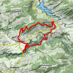
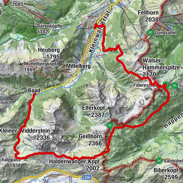
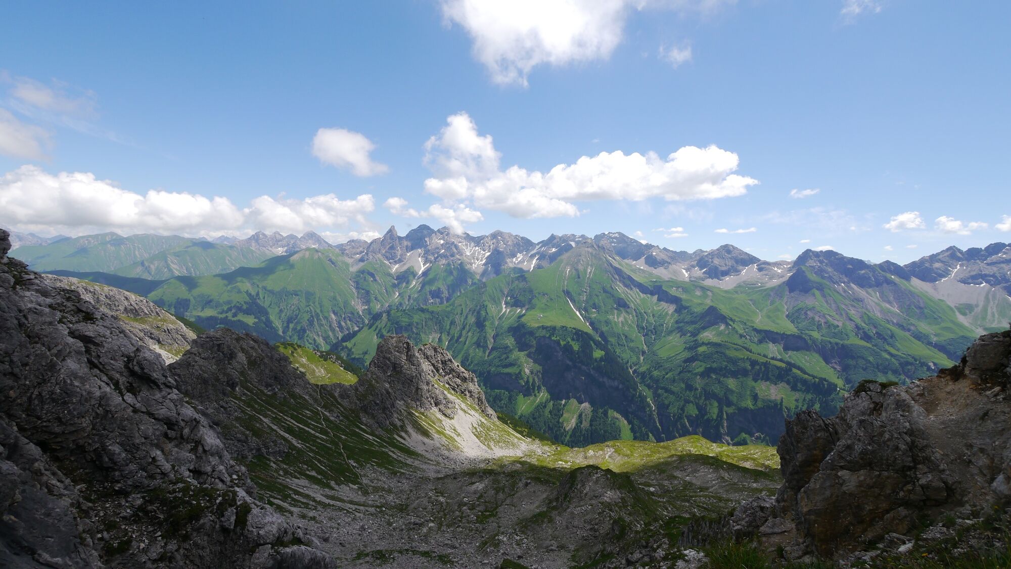
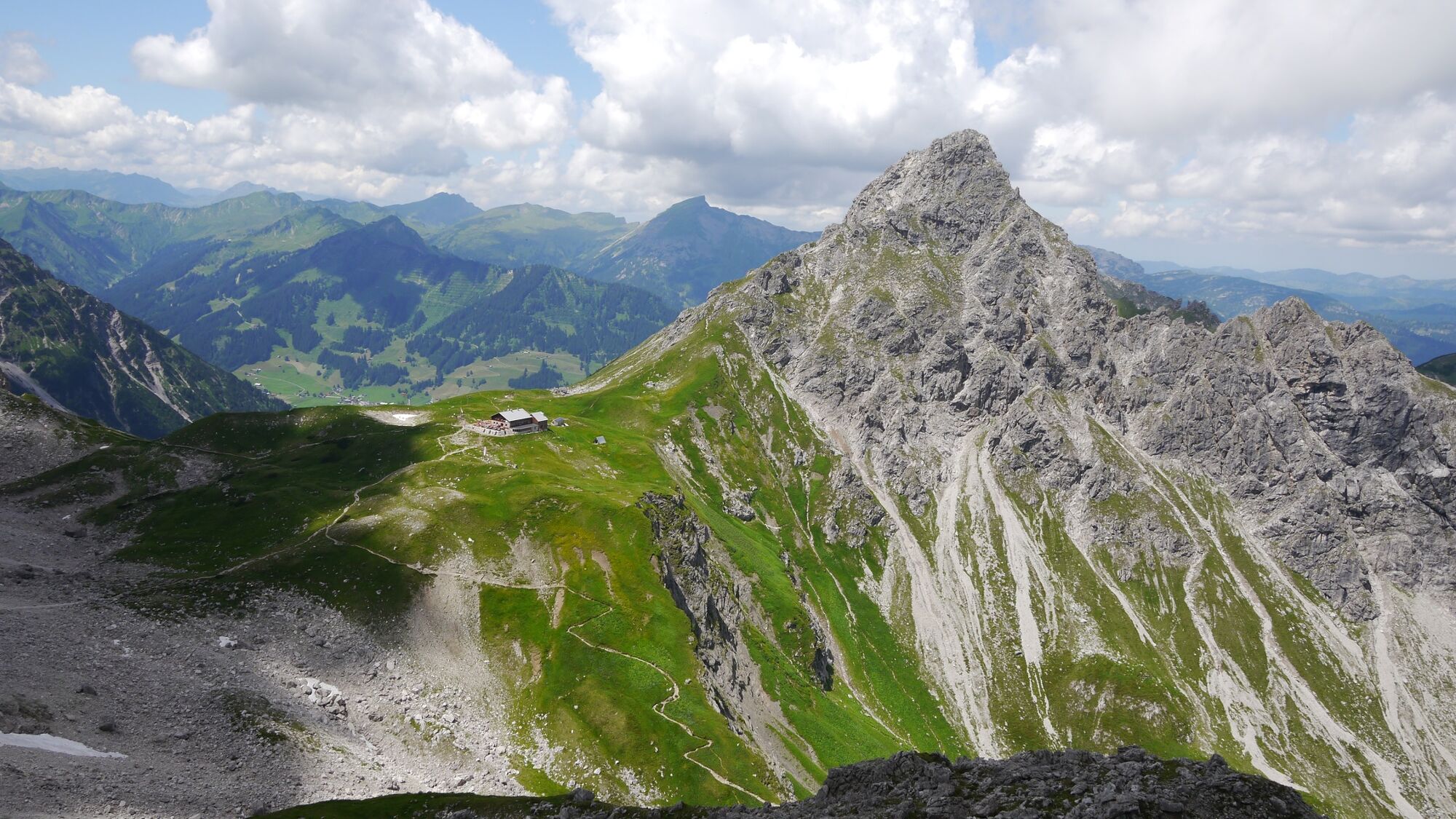
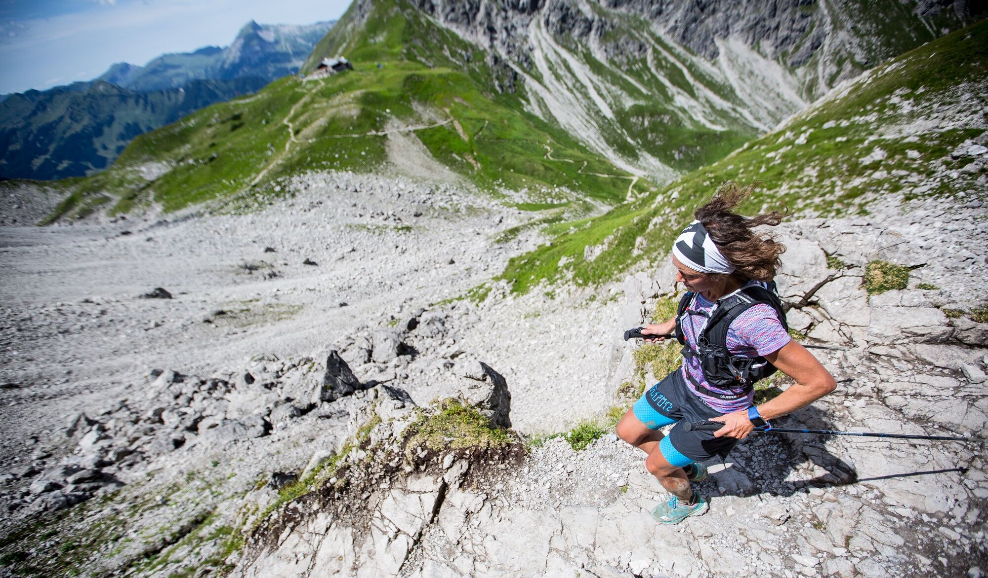
The Walser Trail is part of the Walser Trail Challenge. The length of the route is approx. 28 km and 1700 m ascent and runs from Baad to Hirschegg.
- Svårighet
-
tung
- Utvärdering
-
- Väg
-
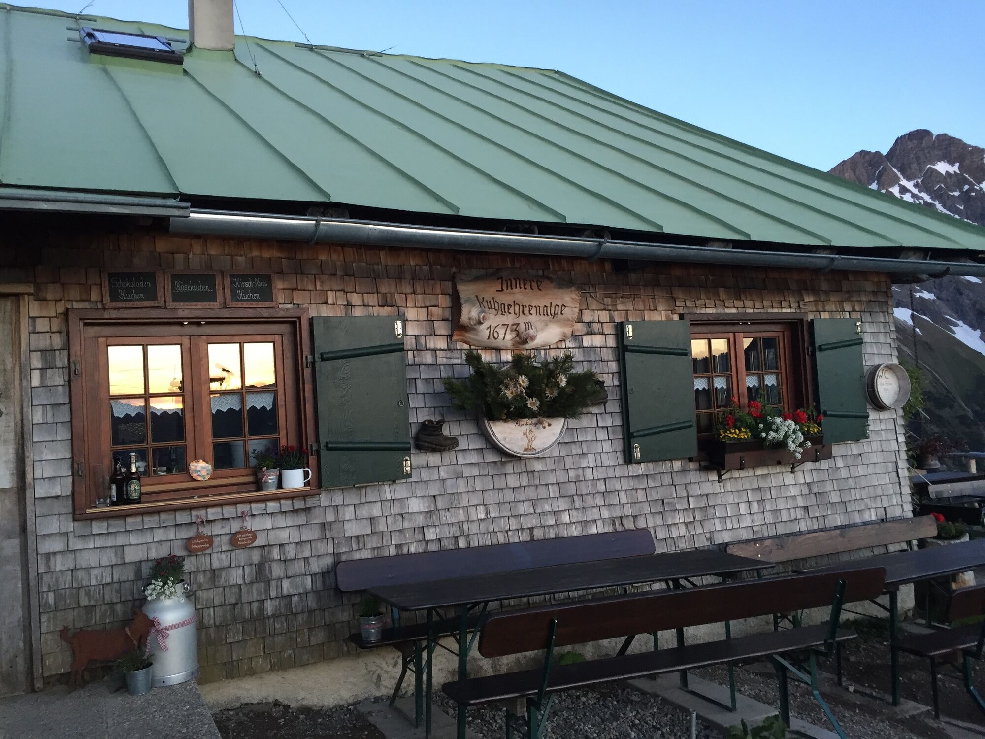
Baad (1.244 m)0,0 kmRestaurant Kuhstall0,0 kmBärgunt-Hütte (1.408 m)2,2 kmHochalppass (1.938 m)5,4 kmBärgunt-Hütte5,4 kmSeekopf (2.039 m)5,9 kmWiddersteinhütte7,3 kmSchärtle (1.945 m)8,6 kmKoblat-Pass (2.041 m)11,3 kmMindelheimer Hütte13,8 kmFiderepasshütte18,8 kmInnere Kuhgehrenalpe22,2 kmÄußere Kuhgehrenalpe23,0 kmBrand-Alpe24,5 kmNebenwasser25,6 kmJahnhütte26,2 kmKapelle "Maria Hilf"26,8 kmHirschegg (1.122 m)27,4 km
- Bästa säsongen
-
janfebmaraprmajjunjulaugsepoktnovdec
- Högsta punkt
- 2.187 m
- Destination
-
Riezlern
- Höjdprofil
-


- Författare
-
Turnén Walser Trail används av outdooractive.com förutsatt.
GPS Downloads


Allmän information
Förfriskningsstopp
Lovande
Fler turer i regionerna
-
Kleinwalsertal
49
-
Mittelberg
20