

© Alpenregion Bludenz Tourismus GmbH - Melanie Fleisch

© Alpenregion Bludenz Tourismus GmbH - Melanie Fleisch

© Alpenregion Bludenz Tourismus GmbH - Melanie Fleisch

© Alpenregion Bludenz Tourismus GmbH - Melanie Fleisch

© Alpenregion Bludenz Tourismus GmbH - Melanie Fleisch

© Alpenregion Bludenz Tourismus GmbH - Melanie Fleisch

© Alpenregion Bludenz Tourismus GmbH - Melanie Fleisch

© Vorarlberg Tourismus GmbH
- Kort beskrivning
-
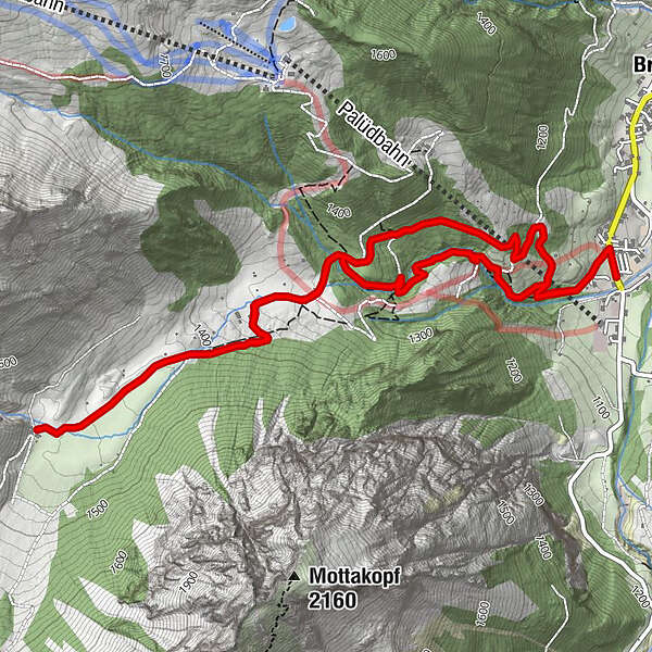
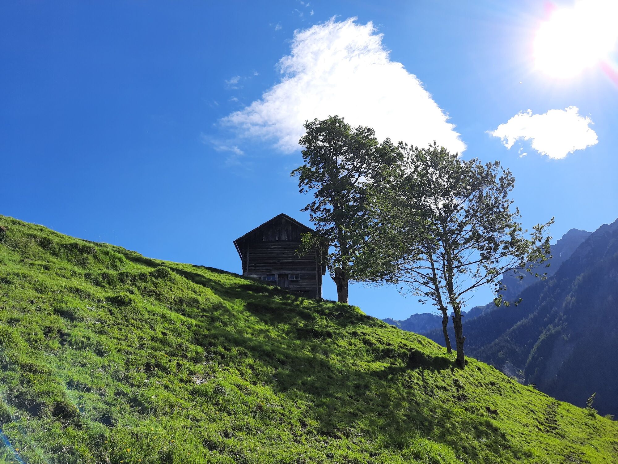
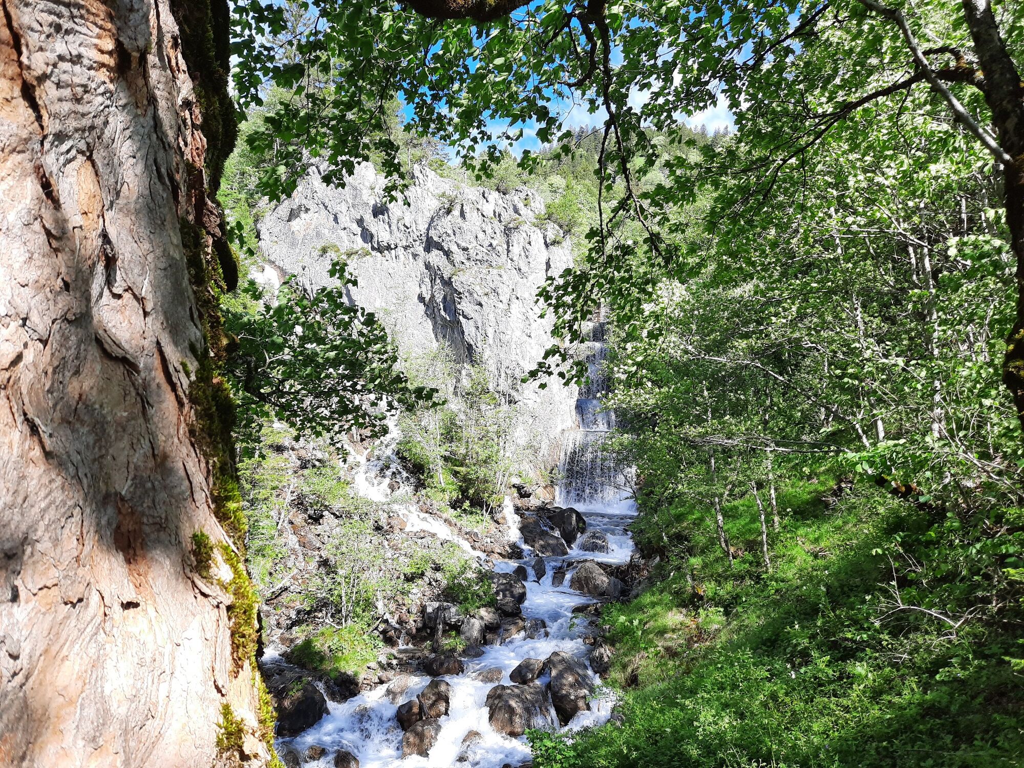
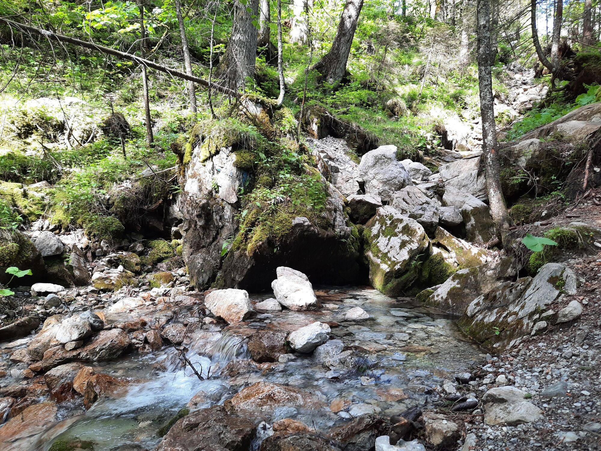
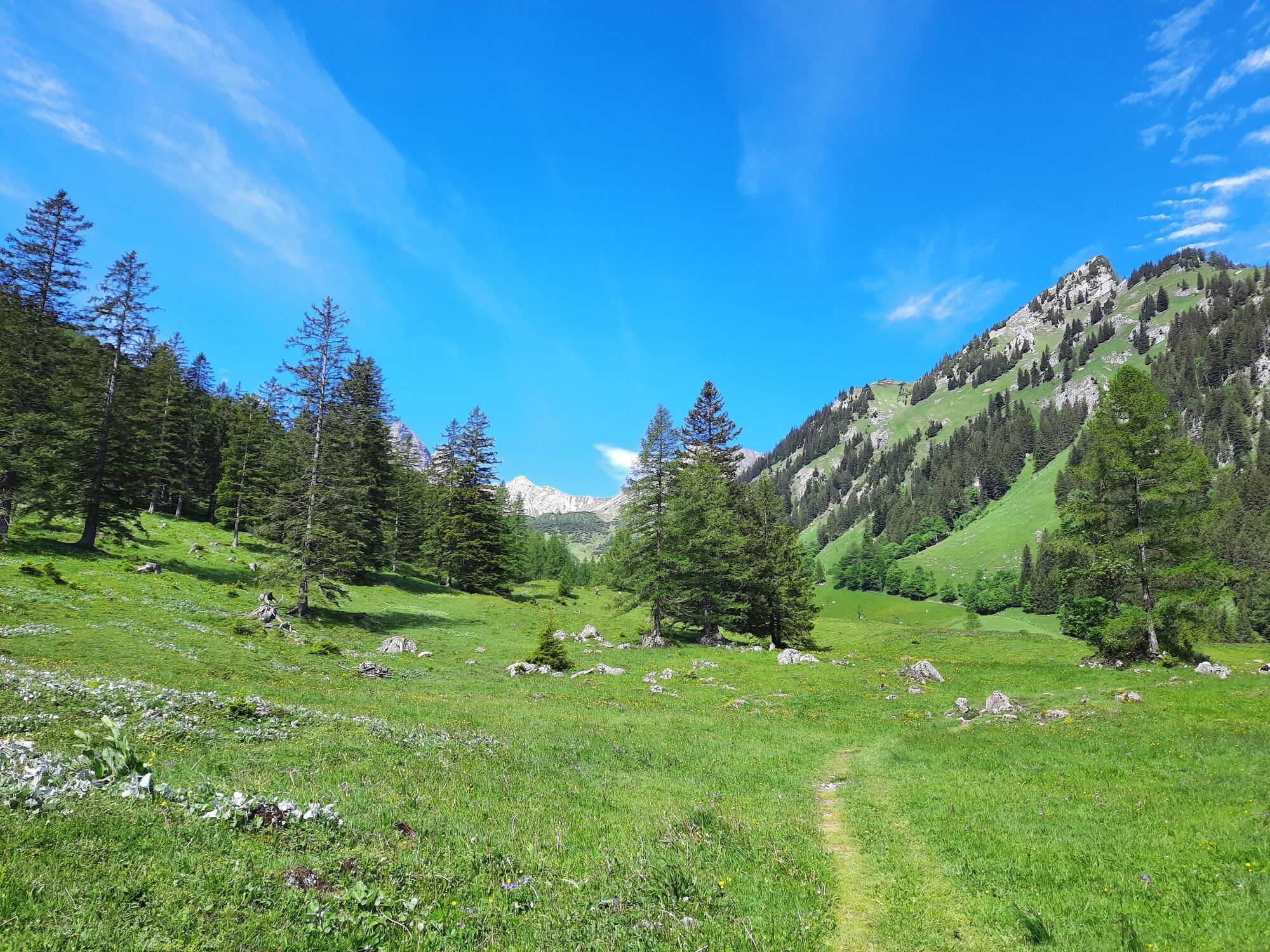
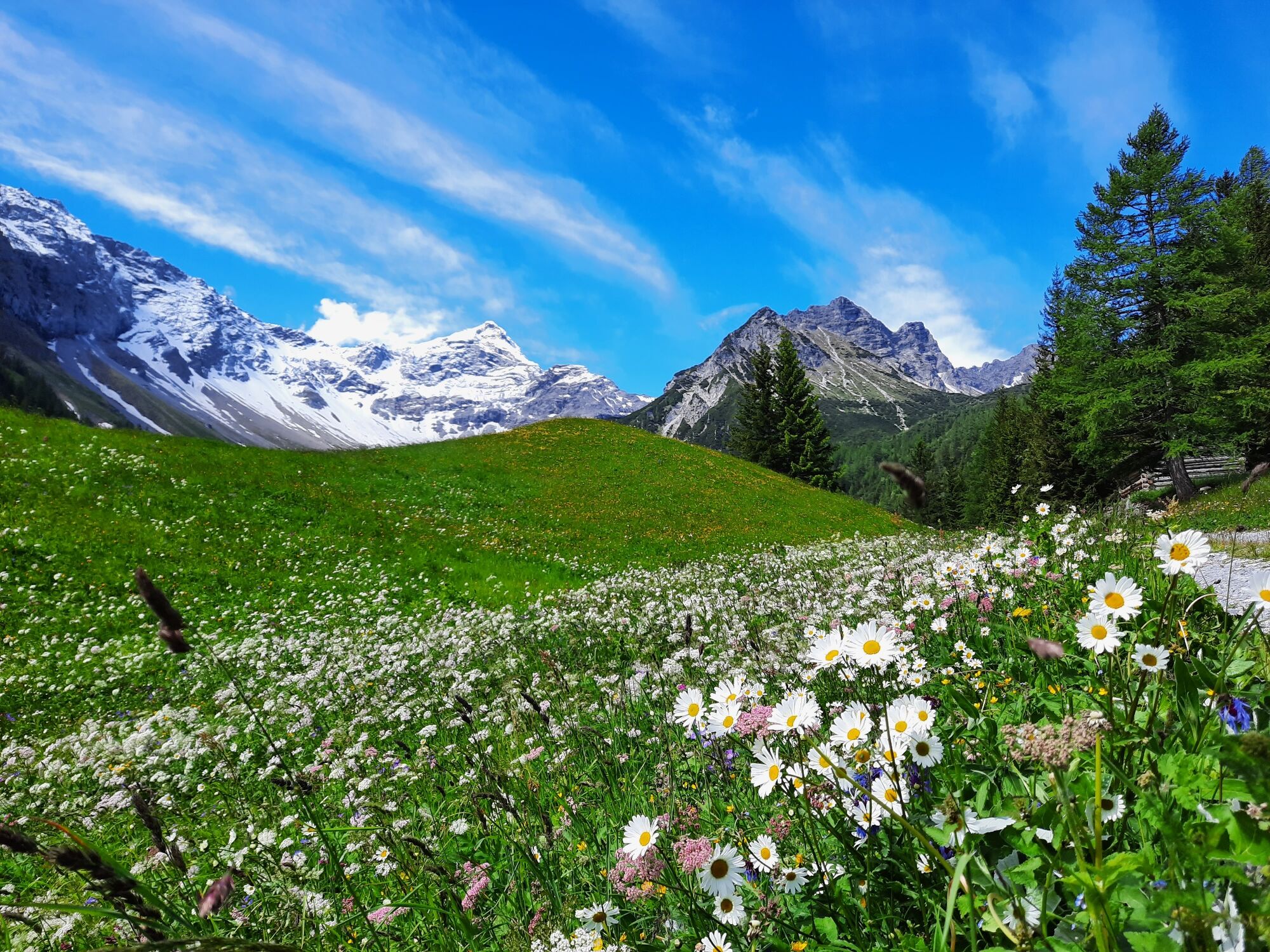
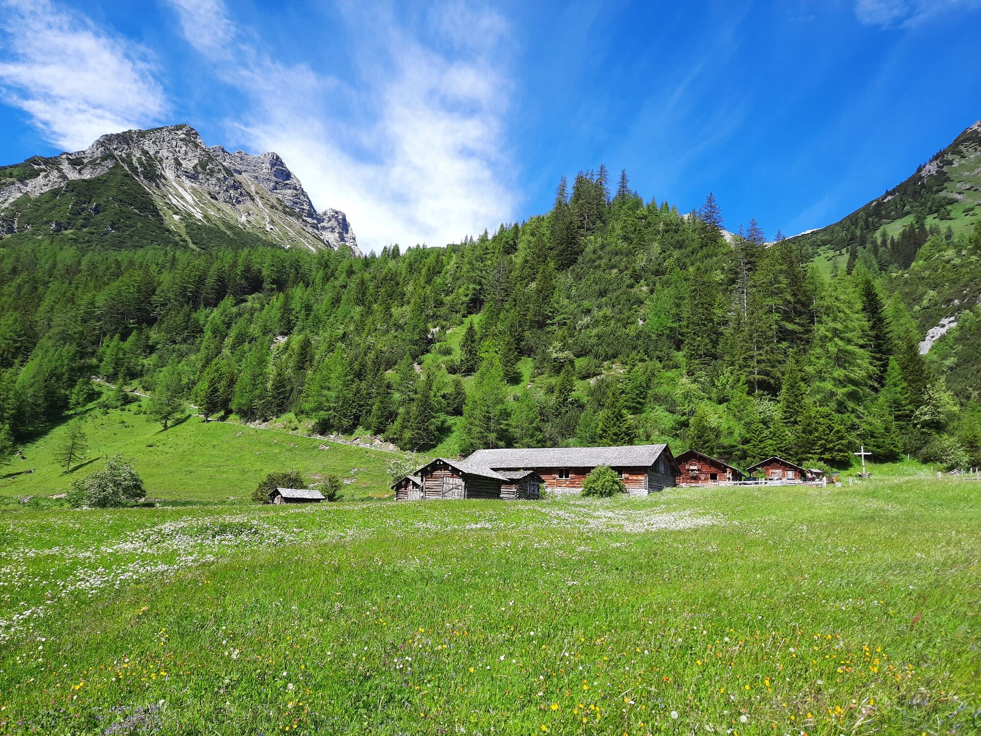
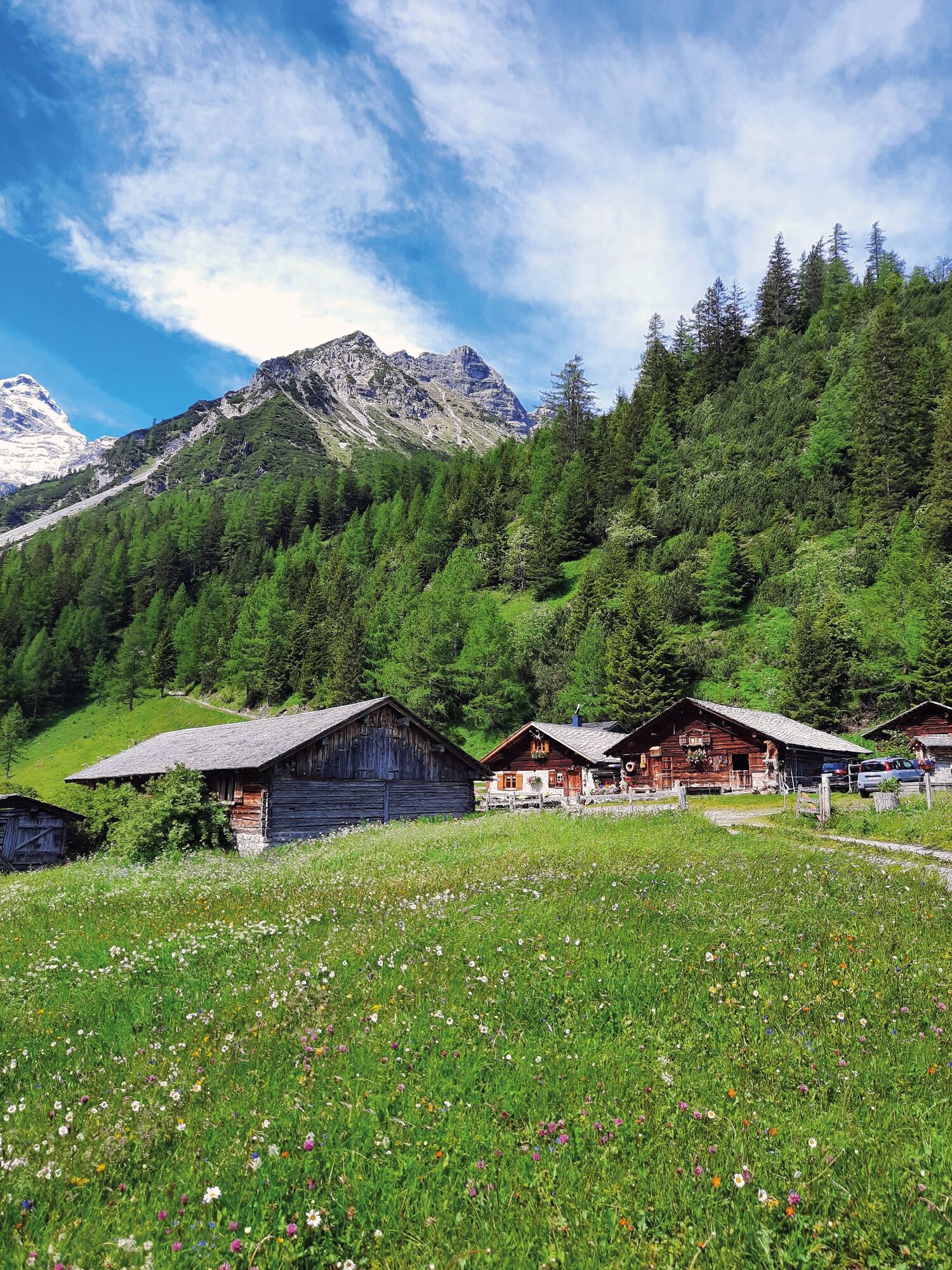
Hike through the unspoiled Zalim valley past the Glingabrunnen fountain to the Untere Brüggele Alpe.
- Svårighet
-
lätt
- Utvärdering
-
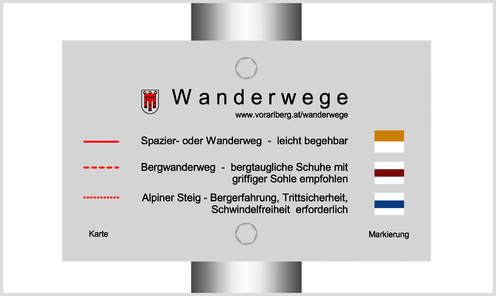
- Väg
-
Untere Brüggele Alp (1.469 m)3,5 km
- Bästa säsongen
-
janfebmaraprmajjunjulaugsepoktnovdec
- Högsta punkt
- 1.465 m
- Destination
-
Innertal, Brand
- Höjdprofil
-

- Författare
-
Turnén To the Untere Brüggele Alpe | Brand används av outdooractive.com förutsatt.
GPS Downloads


Allmän information
Förfriskningsstopp
Lovande
Fler turer i regionerna
-
Heidiland
2201
-
Brandnertal
1567
-
Brand
431


