

© Warth-Schröcken Tourismus - Ratko Medienagentur

© Bregenzerwald Tourismus - Johannes Fink

© Warth-Schröcken Tourismus - Ratko Medienagentur
© Warth-Schröcken Tourismus - Ratko Medienagentur

© Warth-Schröcken Tourismus - Günter Drexel

- Kort beskrivning
-
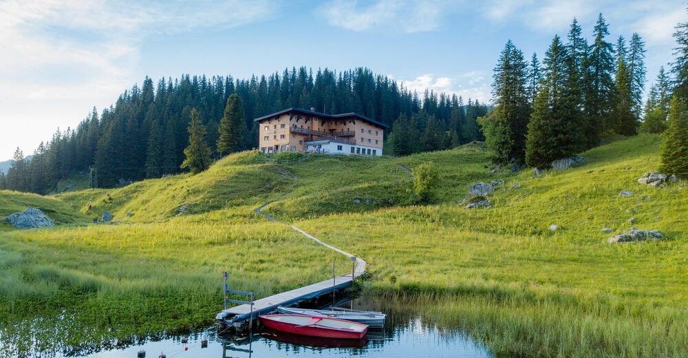
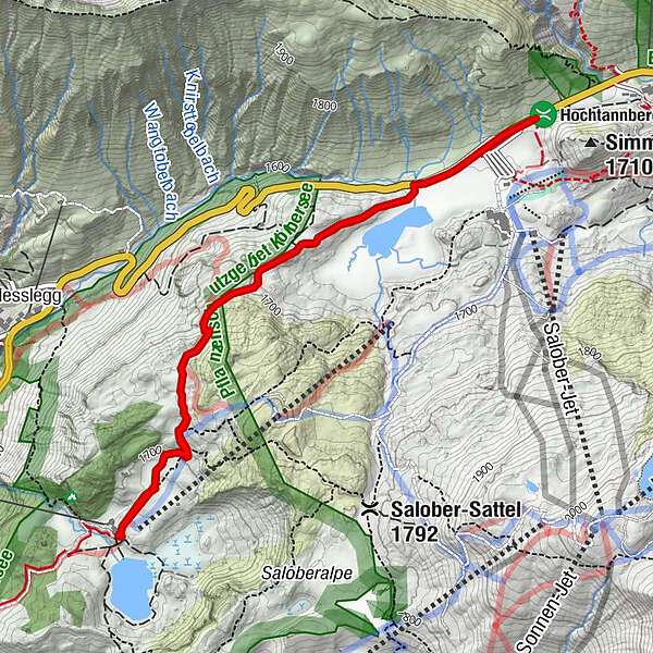
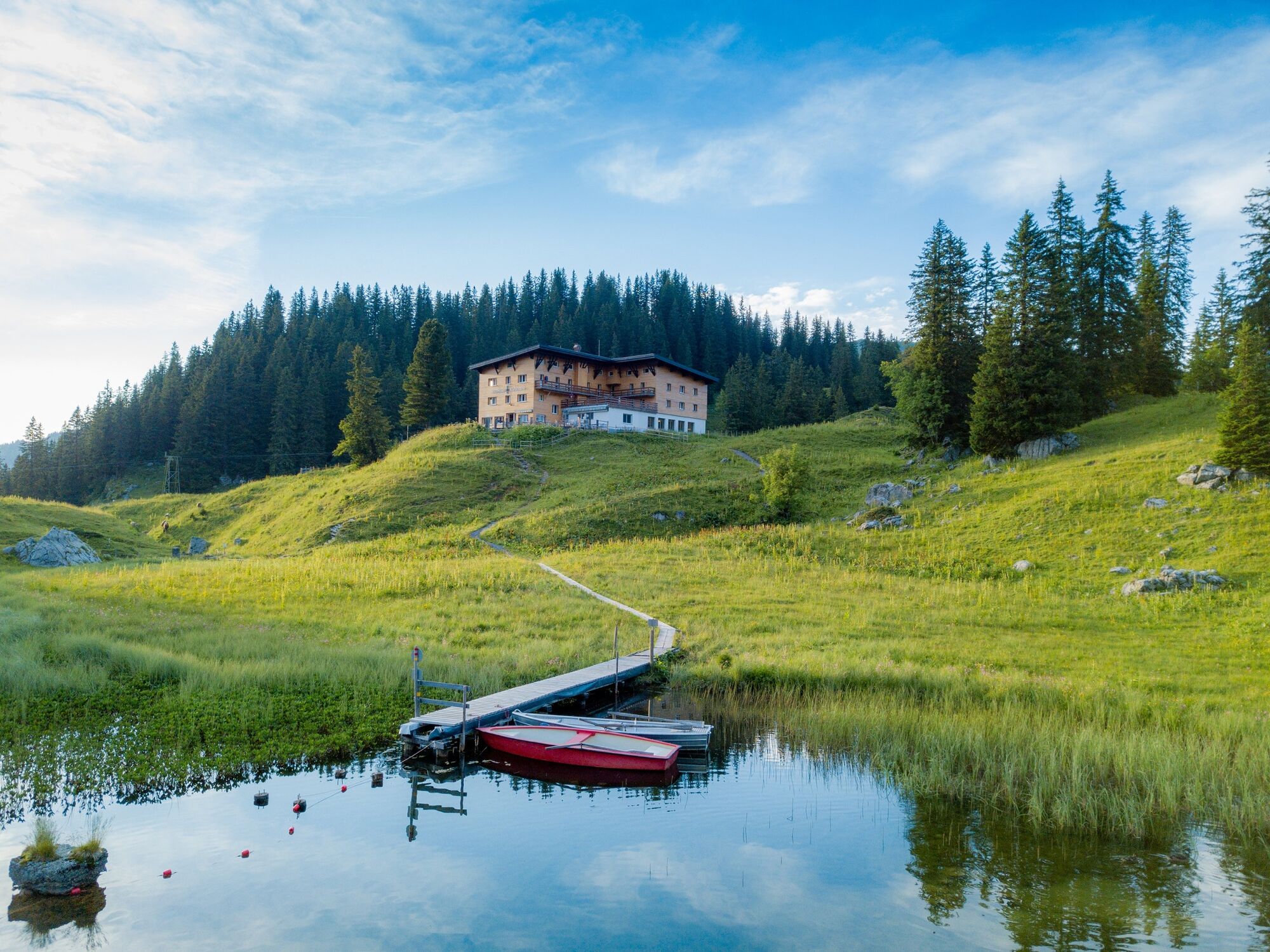
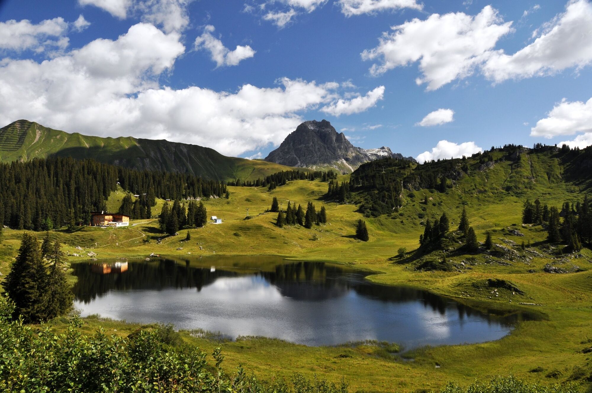
Hochtannbergpass (1,675 m) - Kalbelesee - Körbersee (1,670 m) - Batzenalpe - Schröcken centre of town (1,250 m)
- Svårighet
-
lätt
- Utvärdering
-
- Bästa säsongen
-
janfebmaraprmajjunjulaugsepoktnovdec
- Högsta punkt
- 1.741 m
- Destination
-
Schröcken centre of town
- Höjdprofil
-


- Författare
-
Turnén Warth-Schröcken | from lake to lake används av outdooractive.com förutsatt.
GPS Downloads


Allmän information
Förfriskningsstopp
Lovande
Fler turer i regionerna


