© Val d'Anniviers - Anniviers Tourisme

© Val d'Anniviers - Anniviers Tourisme

© Val d'Anniviers - Anniviers Tourisme

© Val d'Anniviers - Anniviers Tourisme

© Val d'Anniviers - Anniviers Tourisme

© Val d'Anniviers - Anniviers Tourisme

© Val d'Anniviers - Anniviers Tourisme

© Val d'Anniviers - Anniviers Tourisme

© Val d'Anniviers - Anniviers Tourisme
- Kort beskrivning
-
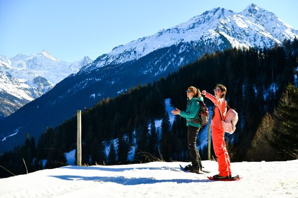
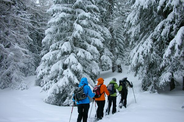
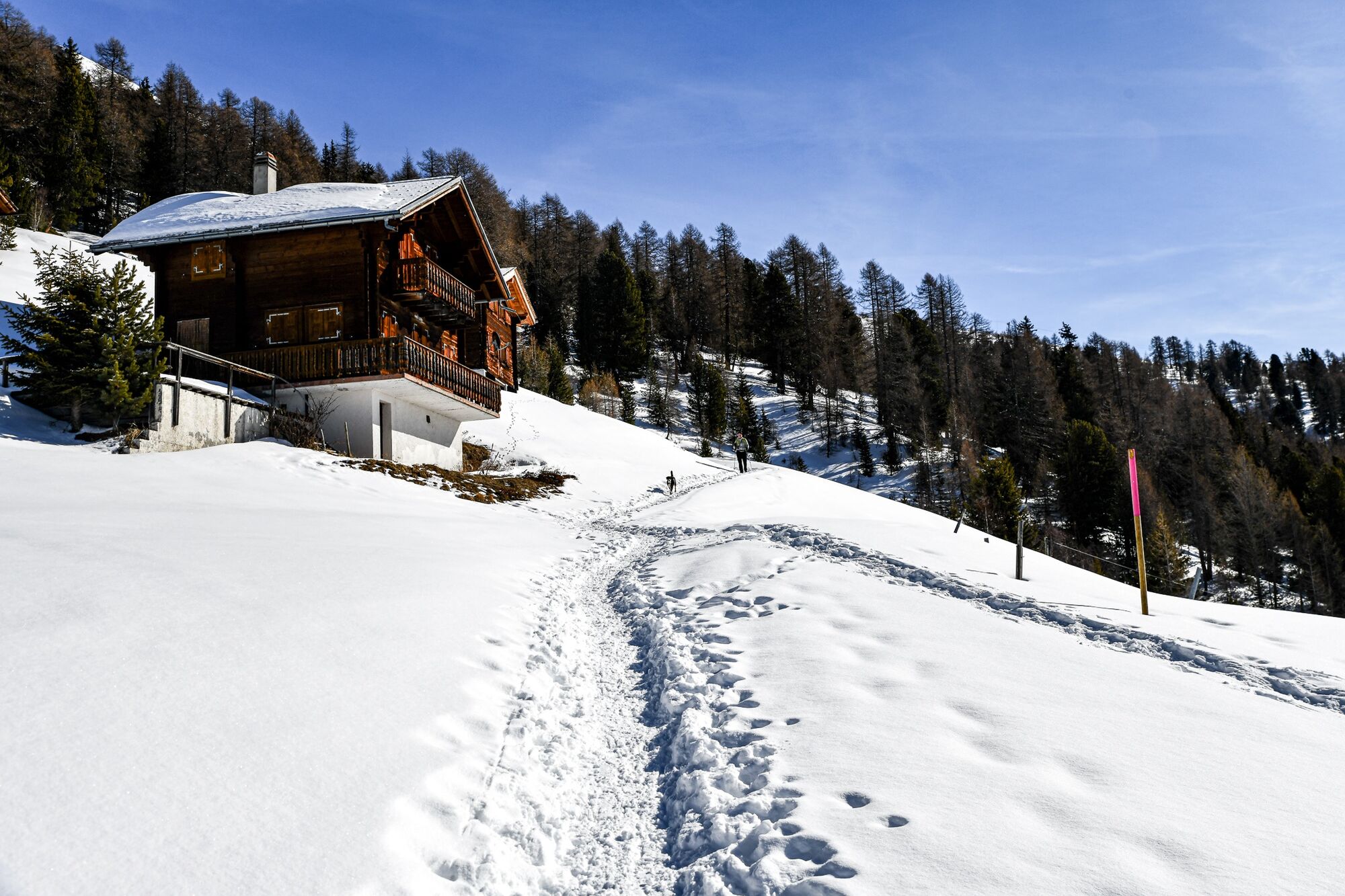
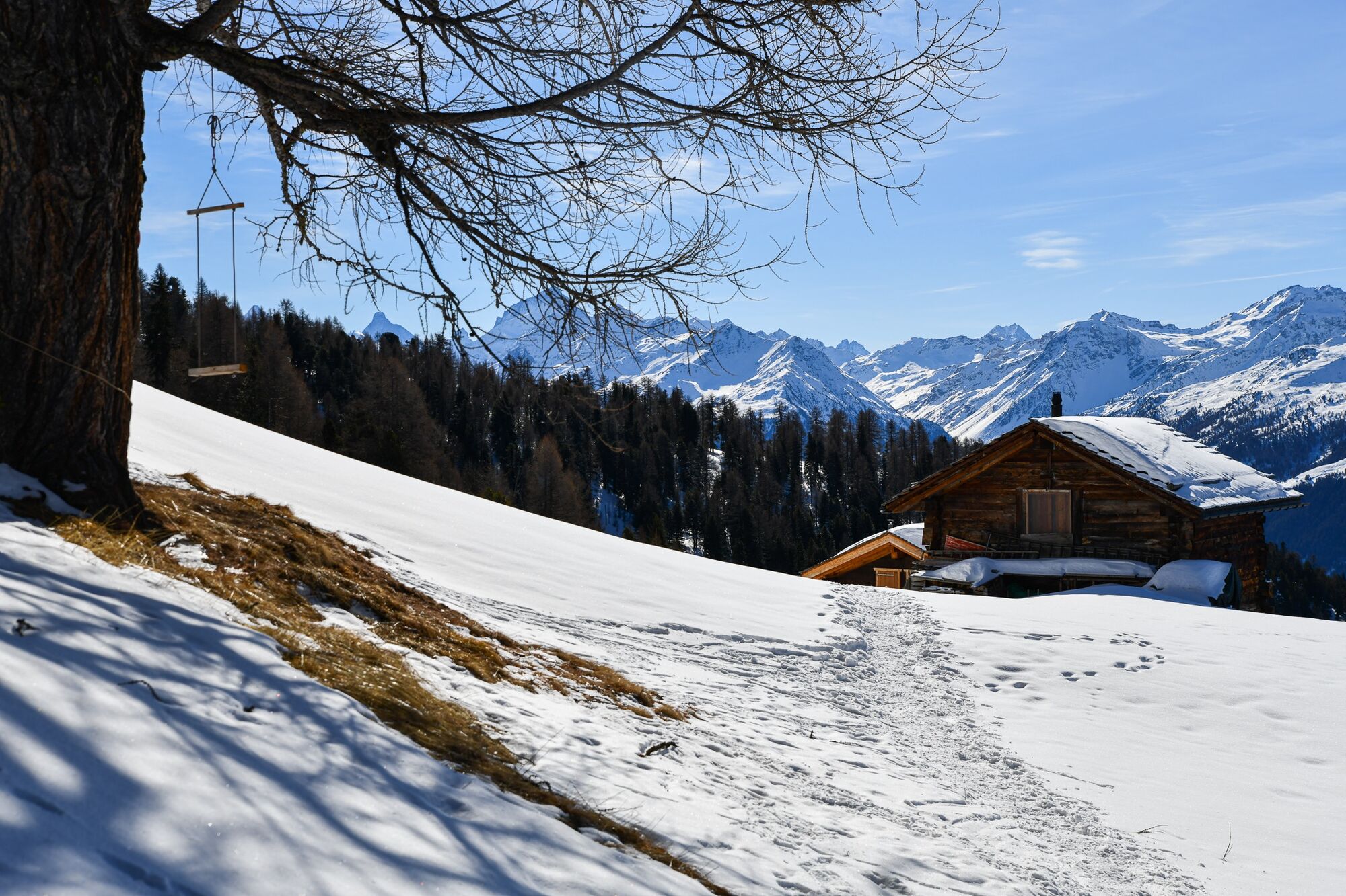
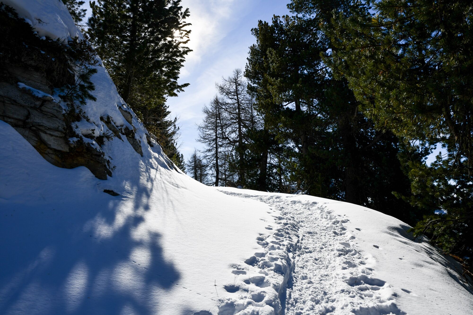
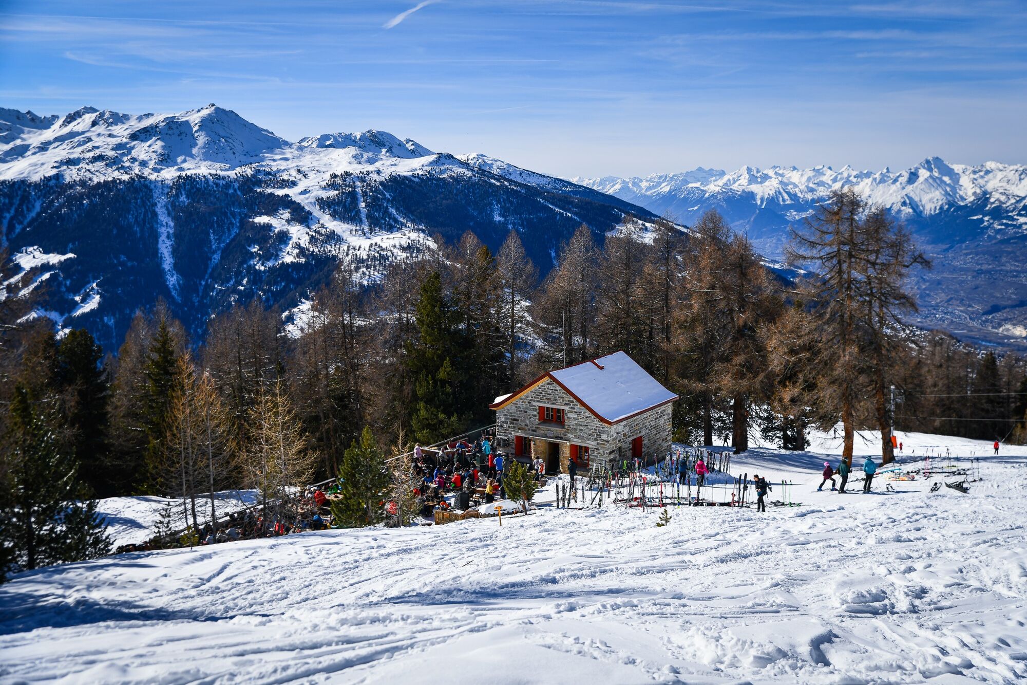
N°1 : This hike accessible to all, is a real source of relaxation by nature, because of its itinerary winding mainly through the forest and the alpine pasture of Chandolin.
- Svårighet
-
medium
- Utvärdering
-
- Väg
-
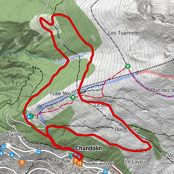
Les Tisses0,0 kmLe Bâtio2,7 kmPlan Lozier3,1 kmLe Poyou3,4 kmChandolin (1.920 m)4,6 kmLes Tisses4,6 km
- Bästa säsongen
-
augsepoktnovdecjanfebmaraprmajjunjul
- Högsta punkt
- 2.170 m
- Destination
-
Office du Tourisme de Chandolin
- Höjdprofil
-
 © outdooractive.com


-

-
FörfattareTurnén Chandolin : Parcours de l'Alpage de Chandolin n°1 används av outdooractive.com förutsatt.
GPS Downloads


Allmän information
Förfriskningsstopp
Lovande
Fler turer i regionerna
-
Oberwallis
197
-
Sierre Anniviers
64
-
St-Luc / Chandolin
29