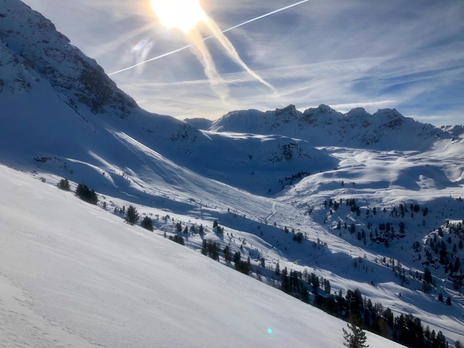
© Val d'Anniviers - Anniviers Tourisme

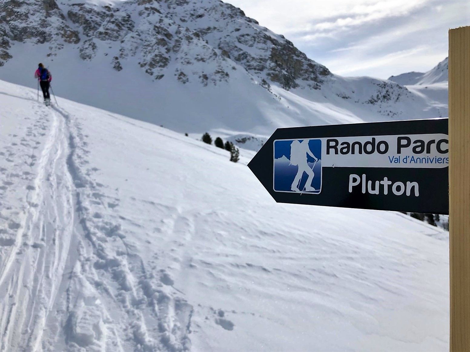
© Val d'Anniviers - Anniviers Tourisme

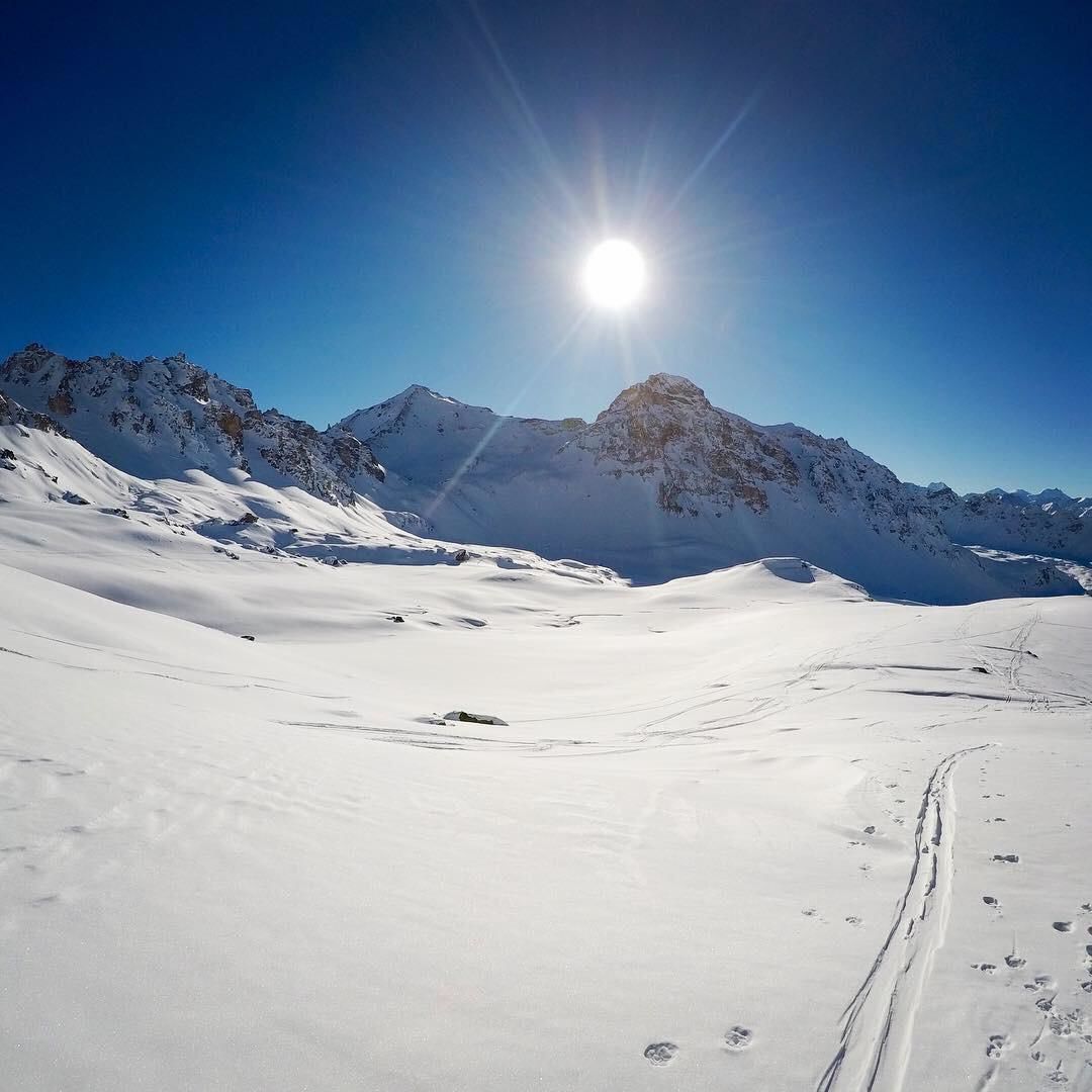
© Val d'Anniviers - Anniviers Tourisme

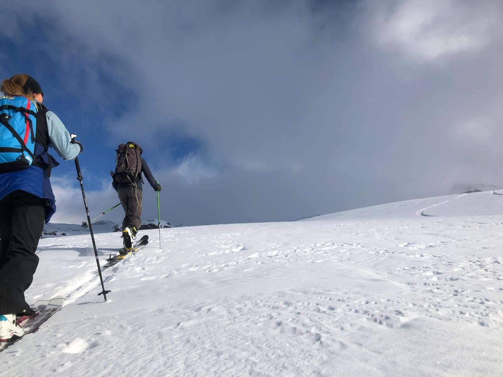
© Val d'Anniviers - Anniviers Tourisme

© Val d'Anniviers - Anniviers Tourisme

© Val d'Anniviers - Anniviers Tourisme

- Kort beskrivning
-
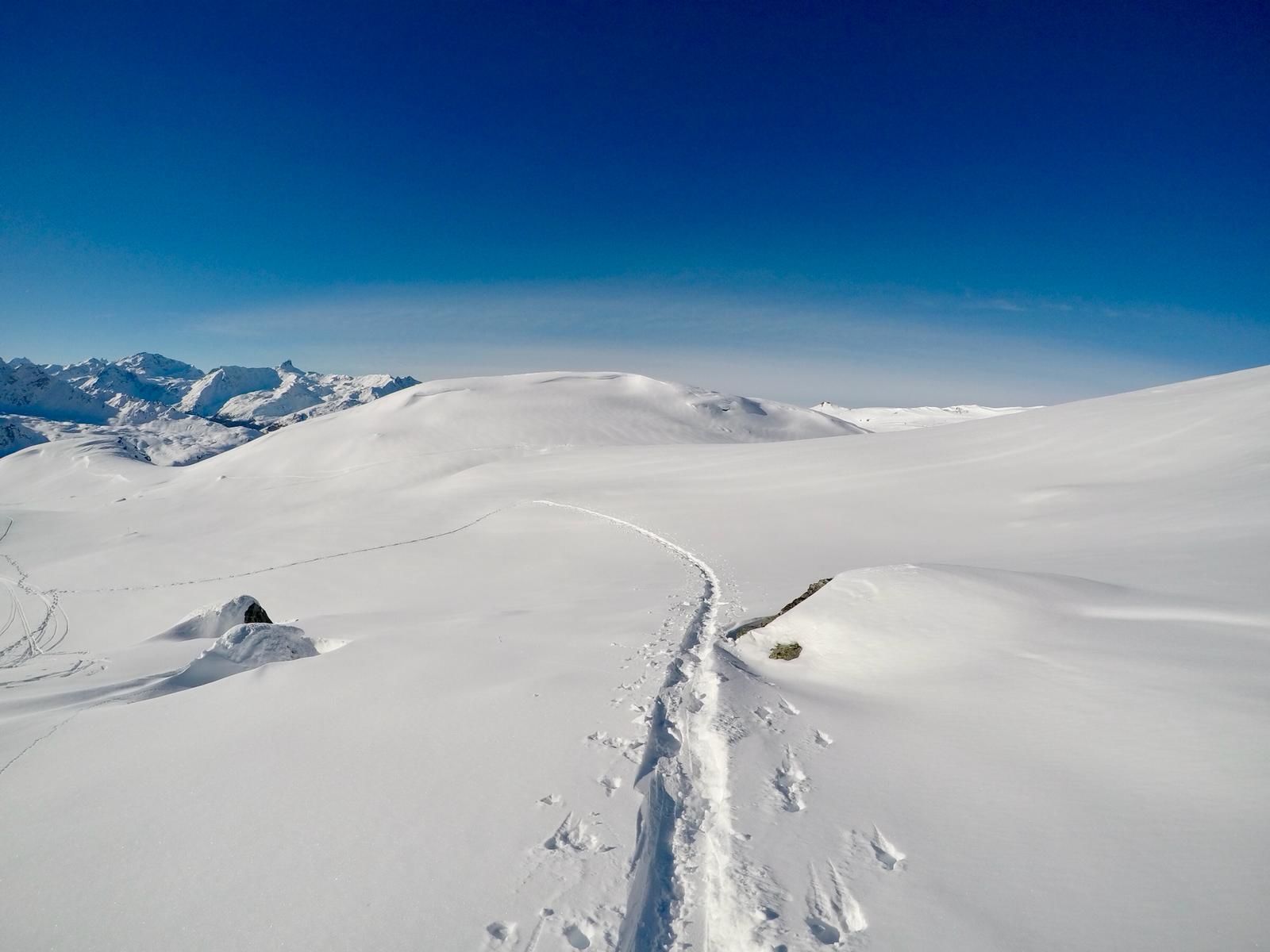
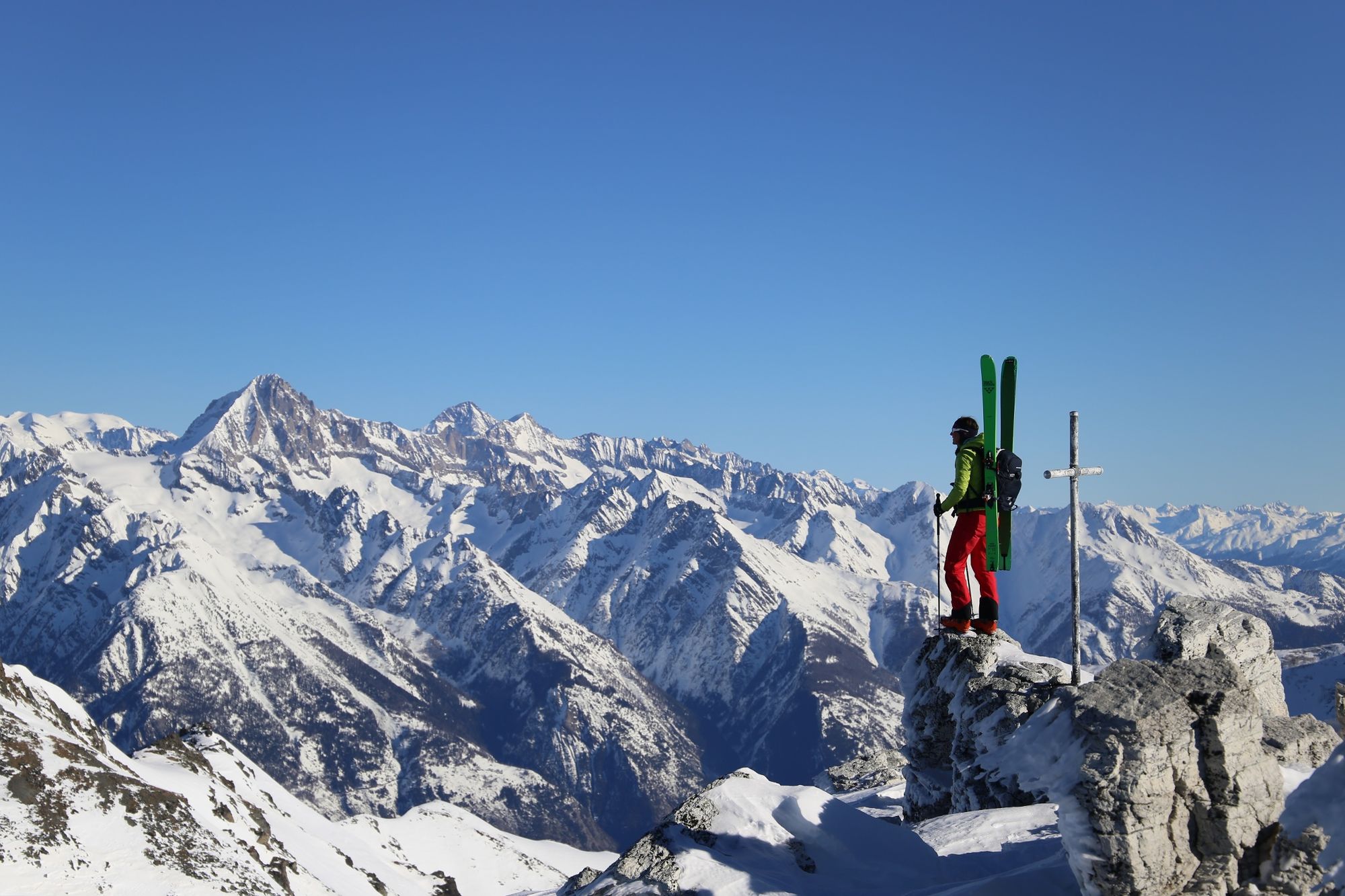
A challenging trail, with two sections requiring you to carry your skis, linking St-Luc to the summit of Bella Tola, more than 3000 metres above sea level.
- Svårighet
-
tung
- Utvärdering
-
- Väg
-
Le Prilett0,0 kmVuibiesse1,0 kmPas de Boeuf (2.817 m)6,3 kmBella Tola (3.025 m)7,2 km
- Högsta punkt
- 3.004 m
- Destination
-
Sommet de la Bella Tola
- Höjdprofil
-
 © outdooractive.com
-

-
FörfattareTurnén St-Luc : Rando Parc / Pluton används av outdooractive.com förutsatt.
GPS Downloads


Allmän information
Lovande
Fler turer i regionerna
-
Oberwallis
117
-
Sierre Anniviers
42
-
St-Luc / Chandolin
13