


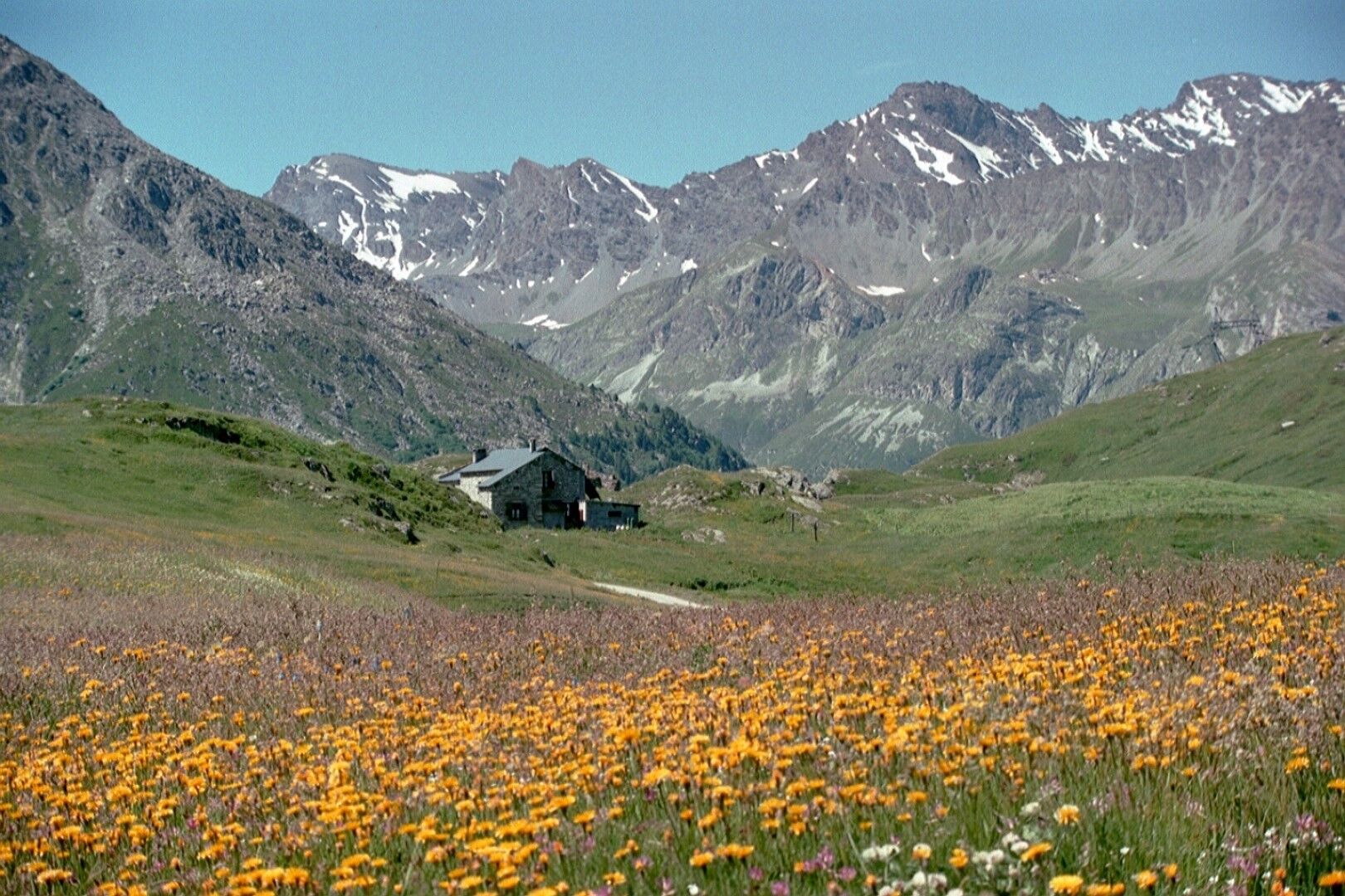
Tour d'Ambin : Stage 2 Refuge Ambin (France) - Refuge Vaccarone


From the hut, the departure is downhill along a path without difficulty that follows the course of the Ambin stream, arriving at the Maroqua parking lot (2000 m). Continue on a dirt road to Plan de la...
From the hut, the departure is downhill along a path without difficulty that follows the course of the Ambin stream, arriving at the Maroqua parking lot (2000 m). Continue on a dirt road to Plan de la Vie (1864 m) where there is an alpine pasture. You cross a bridge and ascend the path called "chemin des chevres."
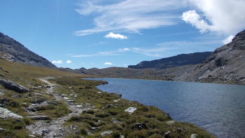
With a difference in altitude of 400 m you reach the Savine valley : from here on the left you reach the Little Moncenisio pass and the hut du Petit Mont Cenis; on the right. the path winds along the Savine valley passing by the Savine lake (2447 m) until you reach Col Clapier.
From the pass, following the trail, you reach the Clapier stream, where you meet a junction from which two trails lead to the Vaccarone refuge: the first on the left passes by the dilapidated Gias shelter to climb up to the refuge; the second runs along the stream, climbs a rocky ridge, and has a view of the Clapier lakes.
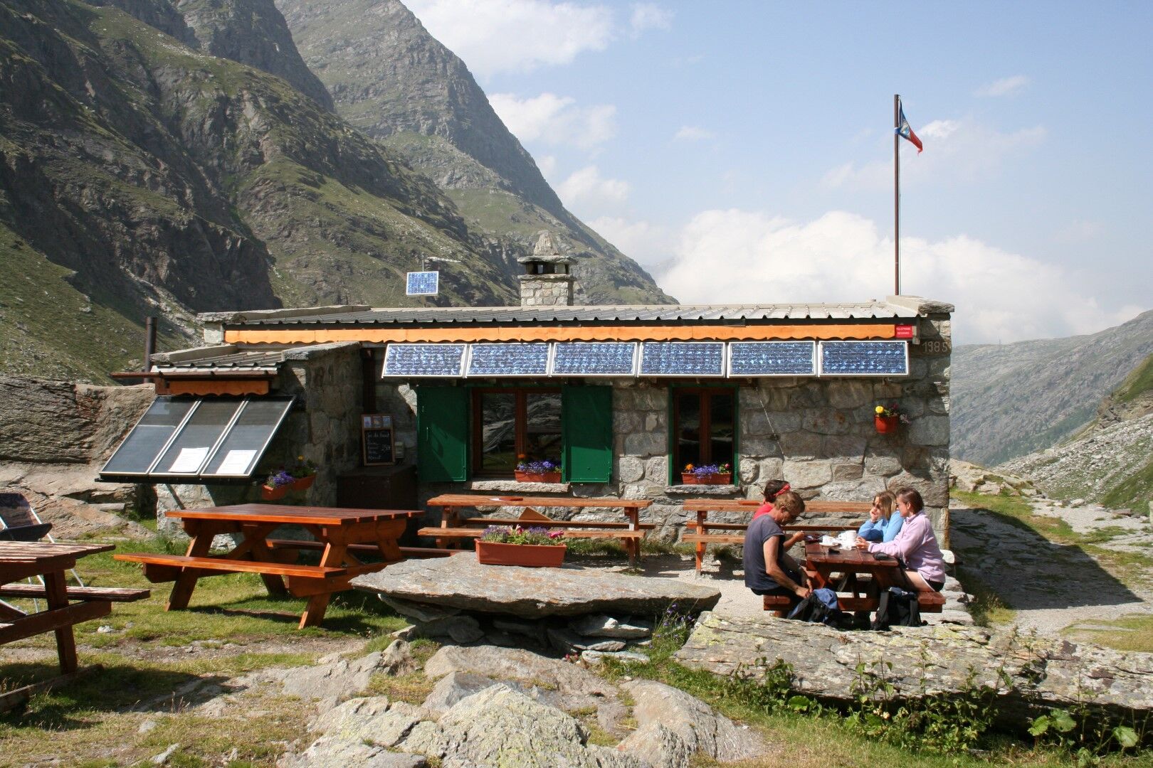
Reaching the top of the ridge, you arrive at the hut on level ground.
Source: Piemonte Outdoor - Piedmont Region | Author: Unione Montana

Ja
Wear footwear and clothing appropriate for the mountain environment
This route has some fixed ropes in the upper part.
Stage 1: San Colombano - Ambin Refuge
It is not possible to arrive at the stage by means
It is not possible to arrive at the stage by means
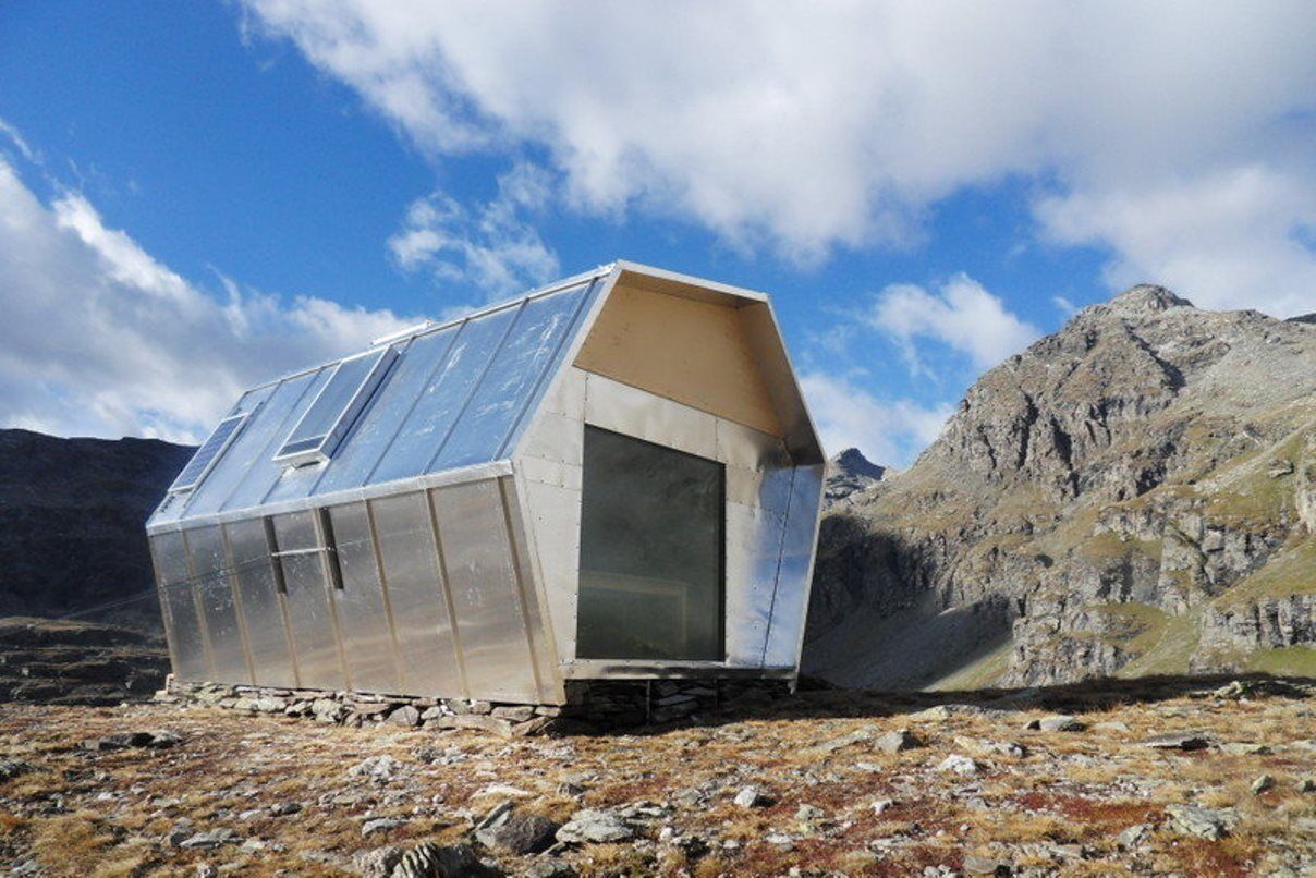
About 10 minutes from the pass in autumn 2014 a new bivouac marked with directional arrows was opened.
In the immediate vicinity of the shelter is a bivouac that can be used year-round.
Populära turer i närområdet
-
5,0
BARDONECCHIA Decauville
ljusVandring 7,29 km -
BARDONECCHIA Colle Sommeiller
MediumMountainbike 25,4 km -
BARDONECCHIA Decauville - Rifugio Scarfiotti Ring
ljusMountainbike 34,0 km -
Col du Mont Cenis from Lanslebourg
MediumLandsvägscykel 9,84 km -
Sentier pédestre des Sculptures - Land Art Montagne
tungTema spår 5,16 km -
BARDONECCHIA Forte Foens - Galleria dei Saraceni - Forte Pramand
MediumMountainbike 34,3 km -
Col du Mont Cenis from Modane
MediumLandsvägscykel 34,8 km -
BARDONECCHIA Bacini Frejusia - Decauville - Diga di Rochemolles
ljusMountainbike 7,54 km -
Little ascent of Plan d'Aval
ljusLandsvägscykel 6,37 km -
4,0
Rocciamelone partedjo dalla Riposa. Mompantero, Piemont/Italien
MediumVandring 10,6 km

Vandring och spårning


Missa inte erbjudanden och inspiration inför nästa semester
Din e-postadress har lagts till på e-postlistan.