


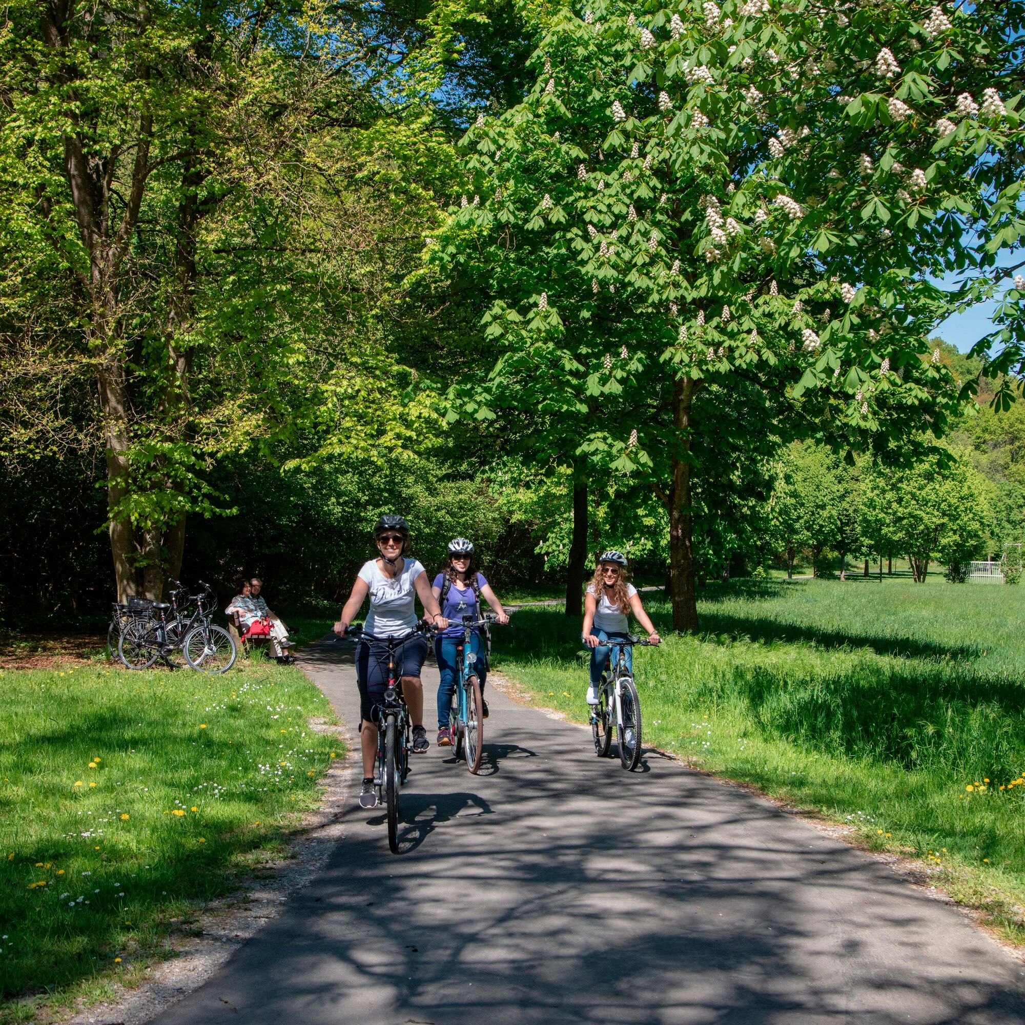
E-bike route: past fountains, meadows, and forests - E1
Svårighetsgrad: 3


The bike route initially takes you through the "Lovely Tauber Valley" with its gentle hills. Before the descent to Bronnbach Abbey, you climb the hill on a forest path up to the fountain town of Külsheim....
The bike route initially takes you through the "Lovely Tauber Valley" with its gentle hills. Before the descent to Bronnbach Abbey, you climb the hill on a forest path up to the fountain town of Külsheim. Continue cycling past meadows and forests, passing small villages until you go downhill through another wooded area into the Main valley.
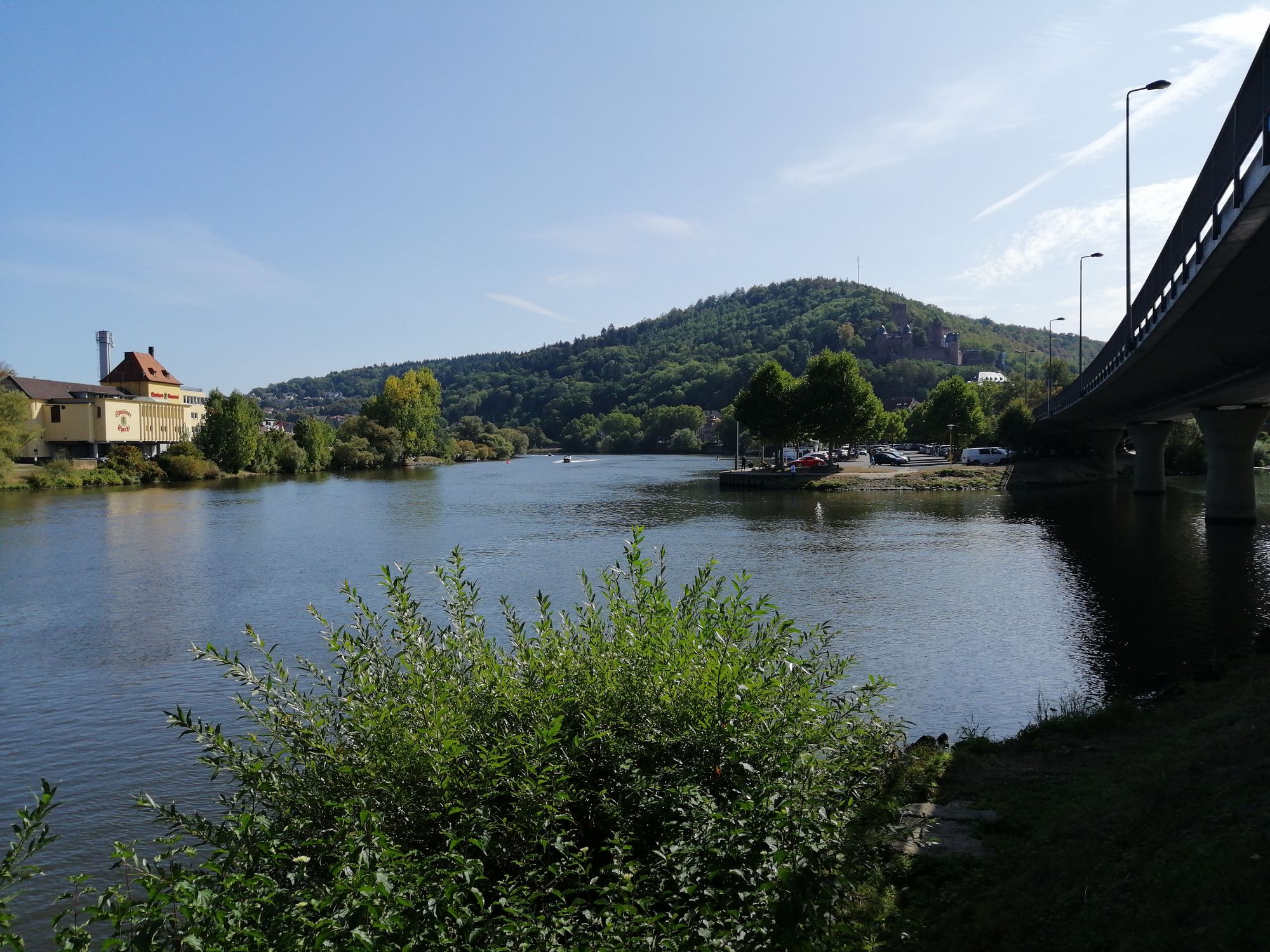
Arriving directly at the Main, the view opens up to Henneburg on the opposite side of the Main. From here begins the leisurely section of the circular route along the Main back to the starting point in Wertheim.
Sights and leisure facilities:
Wertheim: old town, castle, collegiate church, court complex (today town hall), Angel’s fountain, Kittstein Gate, St. Kilian’s Chapel, St. Mary’s Chapel, Spitzer Tower, Glass Museum, County Museum (in the old town hall), "Little Castle in the Court Garden" Museum
Reicholzheim: Tauber Valley Vinotheque, Steinkreuznest
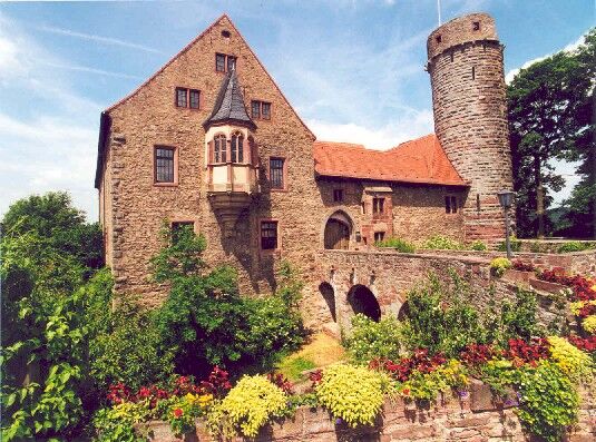
Bronnbach: Abbey with abbey church
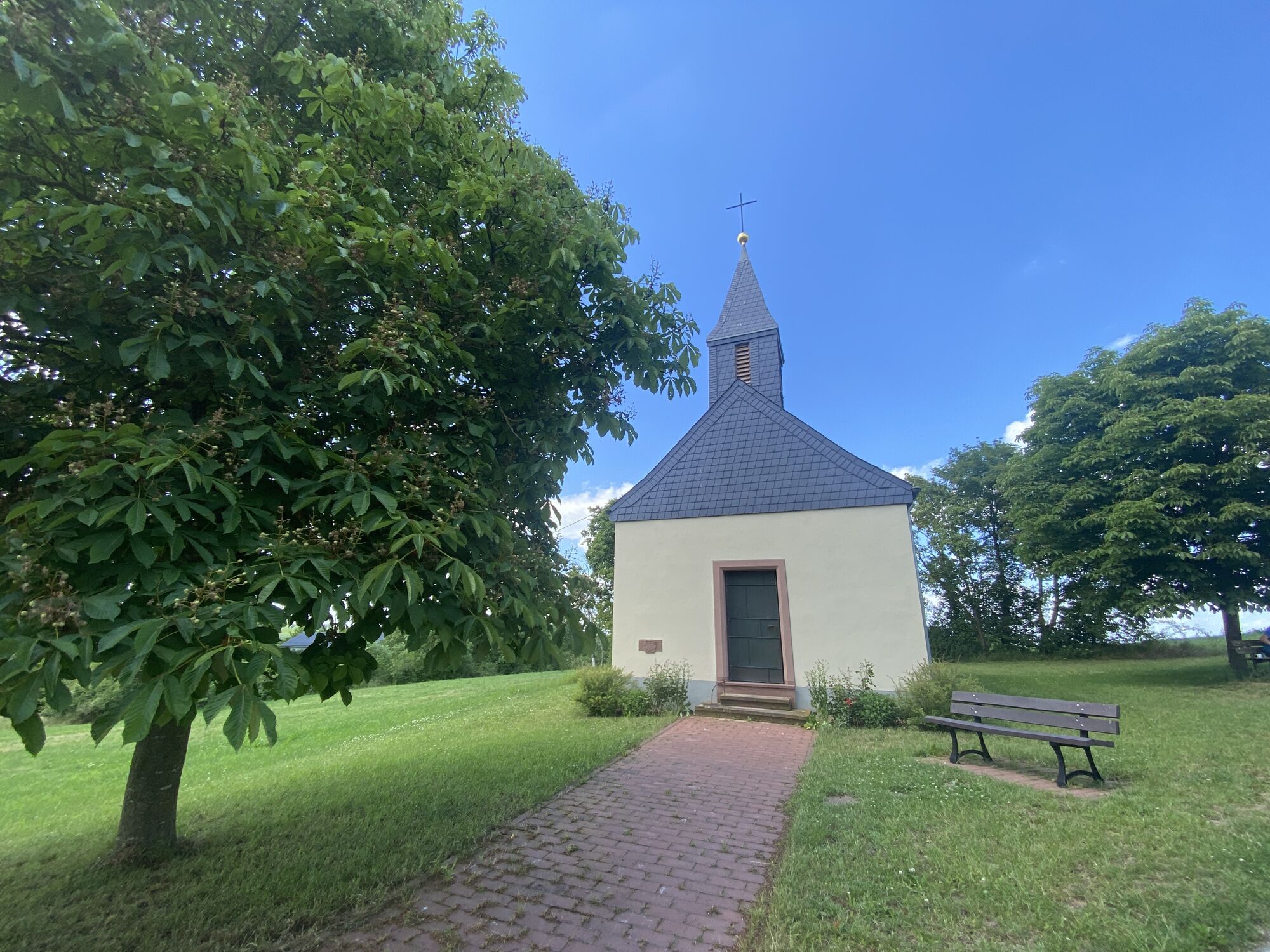
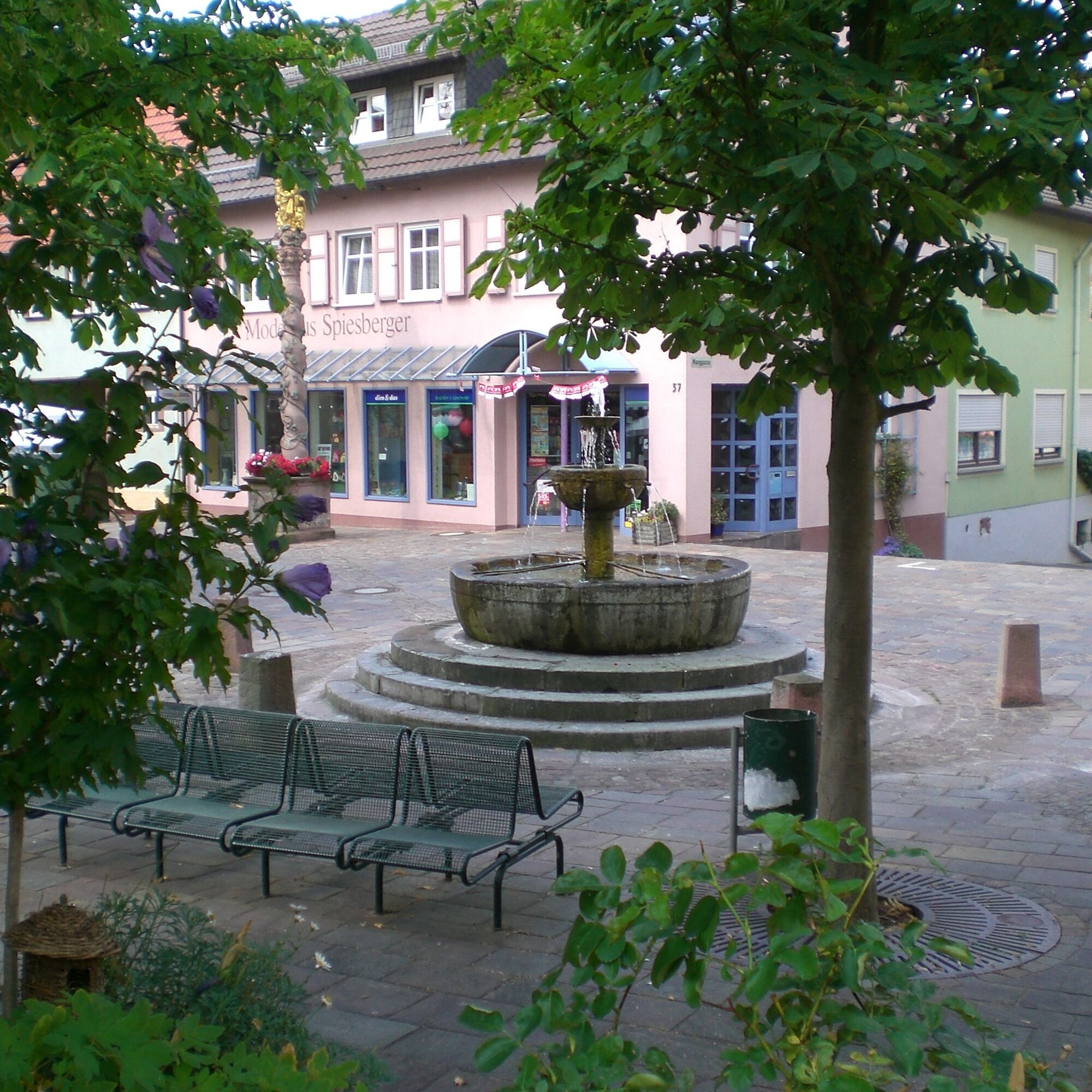
Külsheim: City of fountains, castle, city church
Dörlesberg: Parish church


Signposting: E1
Start at the distinctive point "Spitzer Tower" in Wertheim, which you cannot miss. A short stretch along the main road uphill along the Tauber, turn right over the Tauber bridge and on the other side of the river turn left onto the classic bike path "Lovely Tauber Valley"; also watch for the "E 1" signposting until shortly before Bronnbach Abbey. Here turn right and cycle a bit uphill into a cool forest whose shady trees accompany you to Külsheim.
In Külsheim turn right and continue on the little-used local connecting road to Steinbach and Hundheim. After the sports field turn right through a tree nursery area past Ernsthof and Dörlesberg to Sachsenhausen. In the village turn left. After a short stretch through fields, cross a wooded area and reach Nassig. At the exit of the village keep right and follow the path to Nassig-Steingasse. Again, turn left at the exit here.
Now it goes steadily downhill, over Wessental you reach Boxtal. Follow the signposting "E 1" turn right towards Mondfeld. From there, you reach Grünenwört on the bike path and finally back to your starting point Wertheim.
Bicycle helmet, drinking bottle, provisions
You can reach Wertheim via the A3 motorway, exit: Marktheidenfeld/Wertheim (distance: 10 km) or exit: Wertheim/Lengfurt (distance: 10 km) and connected to the A81 via the A6 and A7
Deutsche Bahn: Wertheim is located on the railway line Frankfurt/Aschaffenburg/Lauda/Bad Mergentheim/Ulm/Friedrichshafen.
ICE or IC travelers of Deutsche Bahn can reach Wertheim from Würzburg via public transport over the A3 in about 30 minutes.
In the old town you will find numerous parking options (parking guidance system)
3
For our e-bike routes, there is also a multi-day offer: E-bike routes in all directions
Plan a stop at Bronnbach Abbey: spirit, history, and a great glass of wine.
Populära turer i närområdet
-
5,0
LT 6 Water.Wine.Vastness.
MediumVandring 10,7 km -
Main-Tauber-Fränkischer Rad-Achter: Ostring 11th stage
MediumCykling 36,9 km -
5,0
Dorfprozelten: Kollenburg-Chapel-Route
MediumVandring 11,8 km -
Main-Tauber-Franconian Bike-Achter: Westring 4th stage
ljusCykling 36,8 km -
South Spessart Trail
tungLångdistans vandringsled 60,8 km -
European Cultural Trail: From the Castle Hall to the Monastery Shine - At the Holle Tree and Piper Hans
MediumVandring 21,6 km -
Franconian Mary’s Way in the southern Spessart
MediumLångdistans vandringsled 25,6 km -
Stadtprozelten: Nature and Stone Monuments - Circular Route 2
MediumVandring 11,5 km -
4,0
Rund um den Apfelberg
ljusVandring 8,18 km -
LT 2 Romantic Wildbachtal
tungVandring 16,8 km
Vandring och spårning


Missa inte erbjudanden och inspiration inför nästa semester
Din e-postadress har lagts till på e-postlistan.