


Cycling up and down and up and down E-Biketour


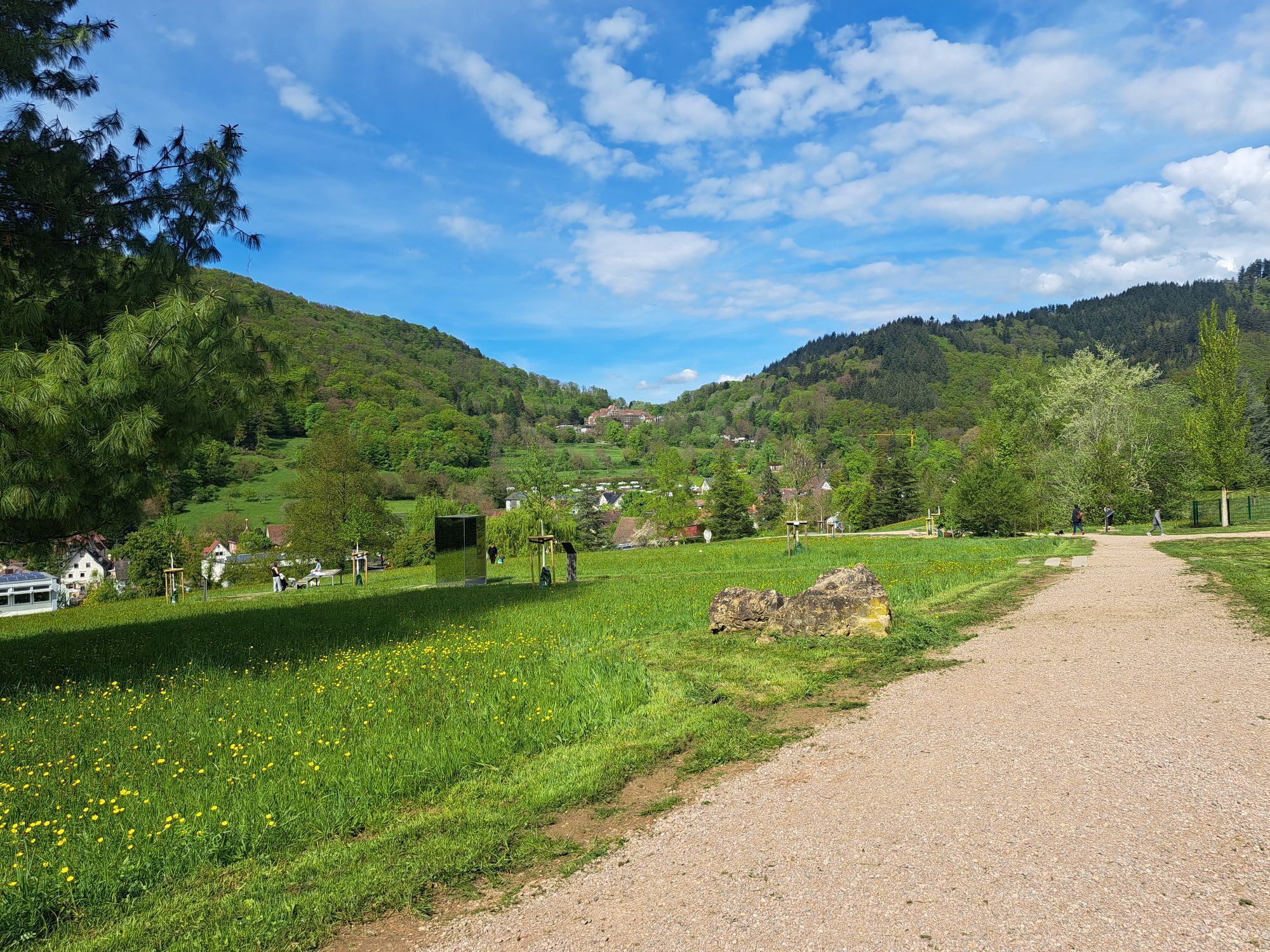
Todays roundtrip starts in the village“Zunzigen“. It leads you through parts of the Black Forest where you will see lots of forest, but also many beautiful landscapes like the spa village “Badenweiler”...
Start the tour in the village “Zunzigen“ by driving the first street left and then taking a steep path to your right onto a hill. From here you can follow the cycling path towards the village “Britzingen”. Before you reach the village you have to turn right and drive up the hill towards an 700 year old castle “Neuenfels” which is not easy to see though.
Once you reached the hill “Schwärze” you drive down the hill towards the town “Badenweiler”. From here you take the cycling path towards “Schweighof” and then back to “Badenweiler” by following the street “Lindenstraße”.
Turn left into the pedestrian zone of “Badenweiler”. Here you might have to walk and push your bicycle but there are many beautiful sights to see. The next village on our roundtrip is “Lipburg”, which you’ll reach by following the street “Blauenstraße” until you reach the crossroad where you have to turn right to reach “Lipburg”. Pass this village and then drive the first street left towards the mountain “Feldberg”.
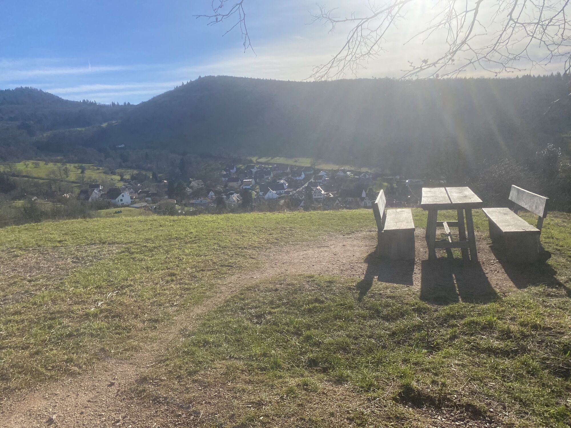
Once you’ve reached the mountain “Stalten” (411m) you can take a break and eat something either here or in the village “Feldberg”. Your next goal is the village “Vögisheim” which you can reach either by cycling along the forest, which is only possible when the weather is dry, or by passing the pitch, driving through the forest area and then following the cycling path. Drive towards the town “Müllheim” now. Pass through the inner-city, follow the pedestrian area and then turn right into the street “Werderstraße”. You will reach your final destination “Zunzingen” by cycling along the street “Sulzburgerstraße”.
Webbkameror för rundturen
Populära turer i närområdet
-
4,2
Belchensteig
MediumVandring 14,8 km -
4,5
Genießerpfad Belchensteig (Deutschlands schönster Wanderweg 2020)
tungVandring 15,2 km -
5,0
Belchen Talstation hin und zurück
ljusVandring 5,91 km -
4,7
Wolfsschlucht
ljusVandring 6,19 km -
4,5
Wieden - Hotel-Restaurant "Belchen-Multen" - Belchen - Untermünstertal
tungVandring 15,4 km -
4,5
Heissbachklamm
MediumVandring 6,50 km -
4,0
Belchen für Geniesser
MediumVandring 13,3 km -
5,0
Nonnenmatt
MediumVandring 9,80 km -
Belchen
MediumVandring 13,9 km -
Rund um den Köhlgarten
MediumVandring 8,92 km
Vandring och spårning


Missa inte erbjudanden och inspiration inför nästa semester
Din e-postadress har lagts till på e-postlistan.