


Valley round through the Northern Black Forest
Svårighetsgrad: 2


Foton av våra användare
-

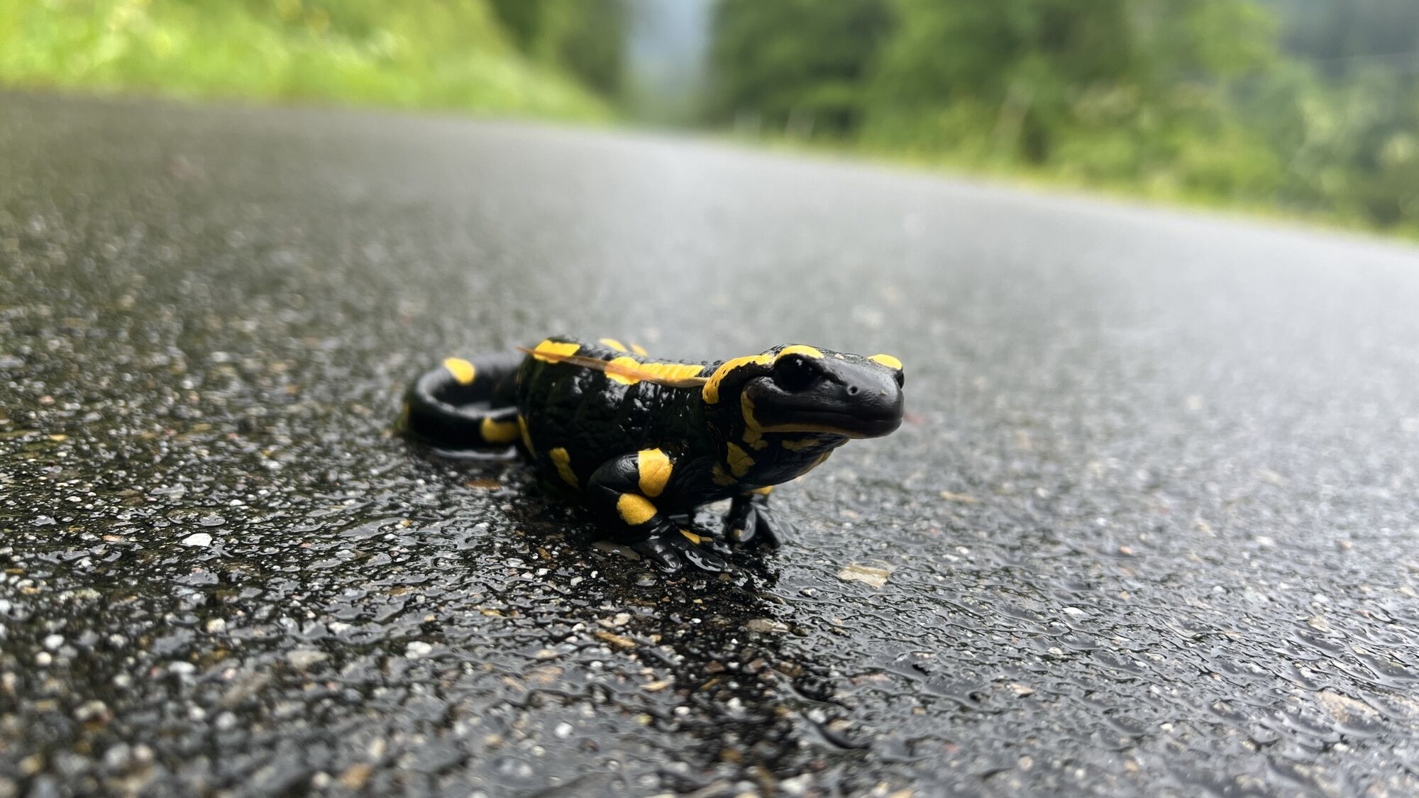
 © Andreas ProskeSkapad på 02.06.2024
 -
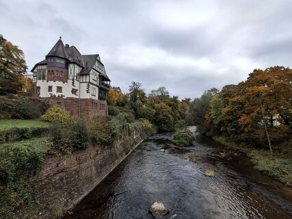
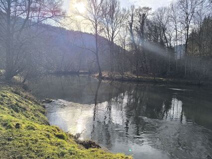
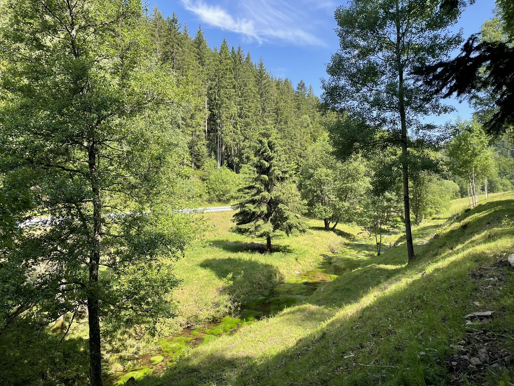
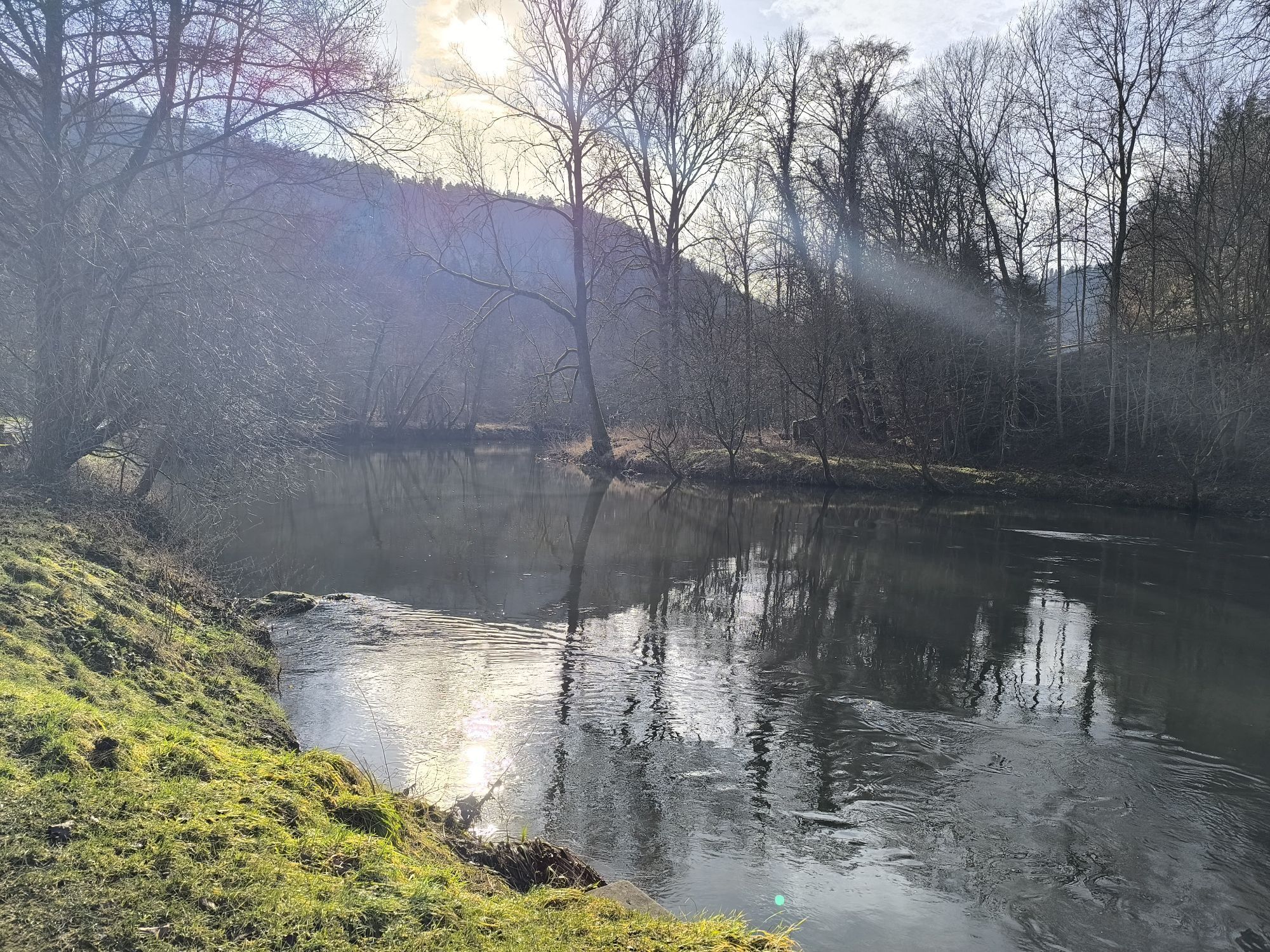
 © Christian KrebsSkapad på 13.10.2025
 -
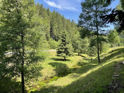
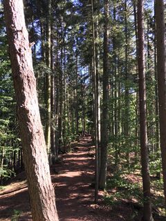
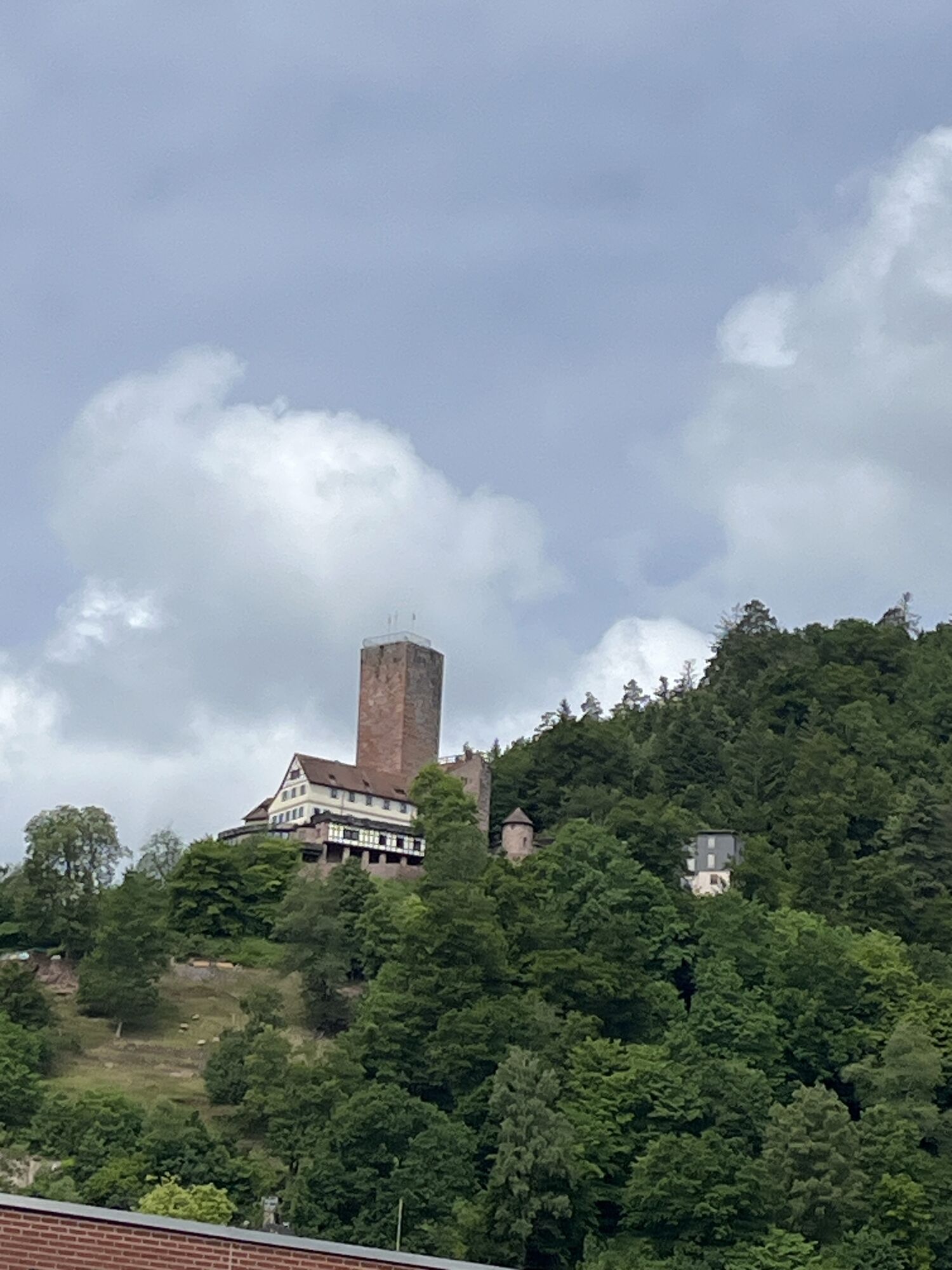
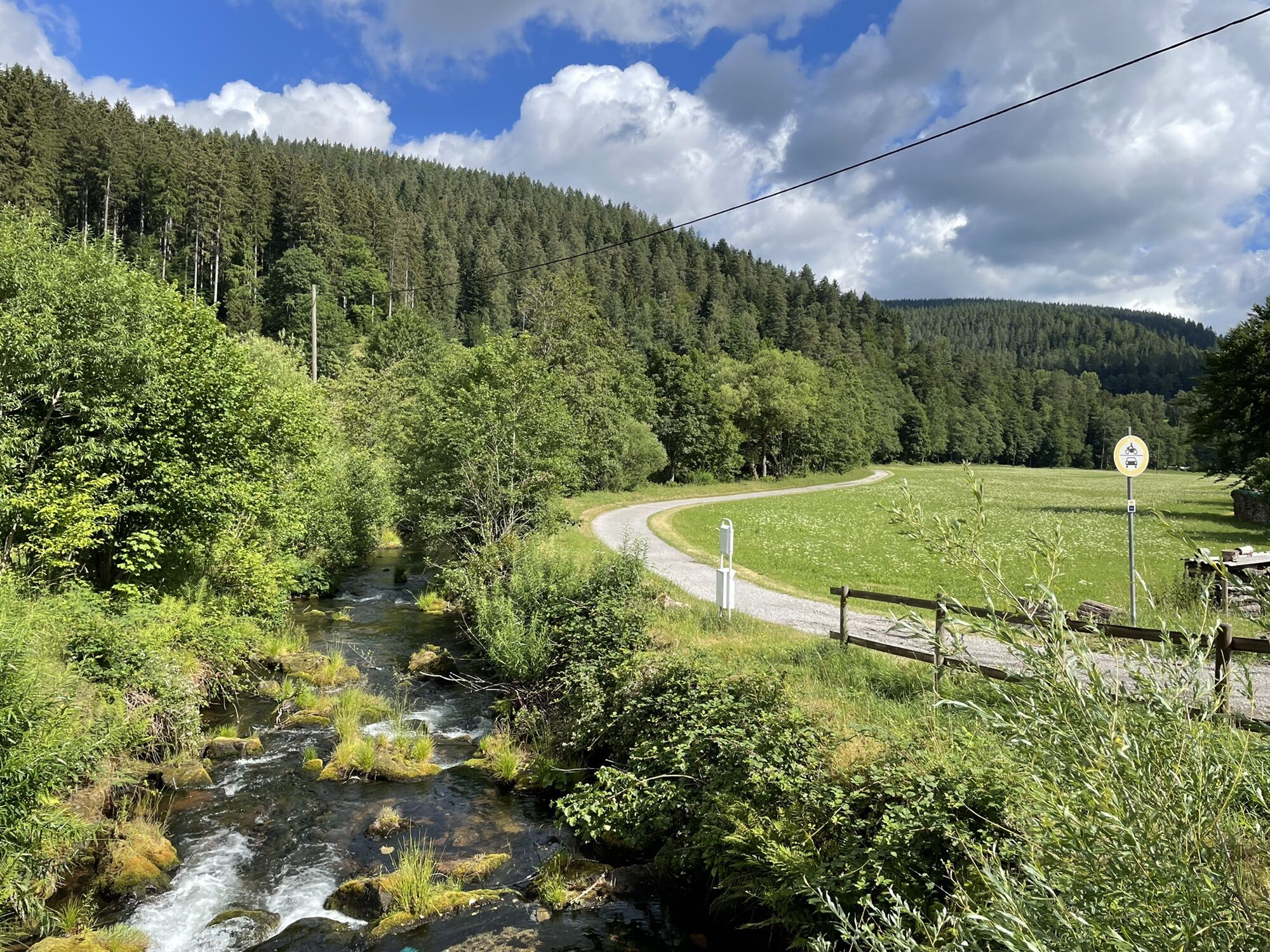
 © Ralf UmmingerSkapad på 21.06.2025
 -
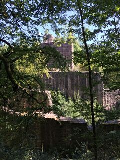
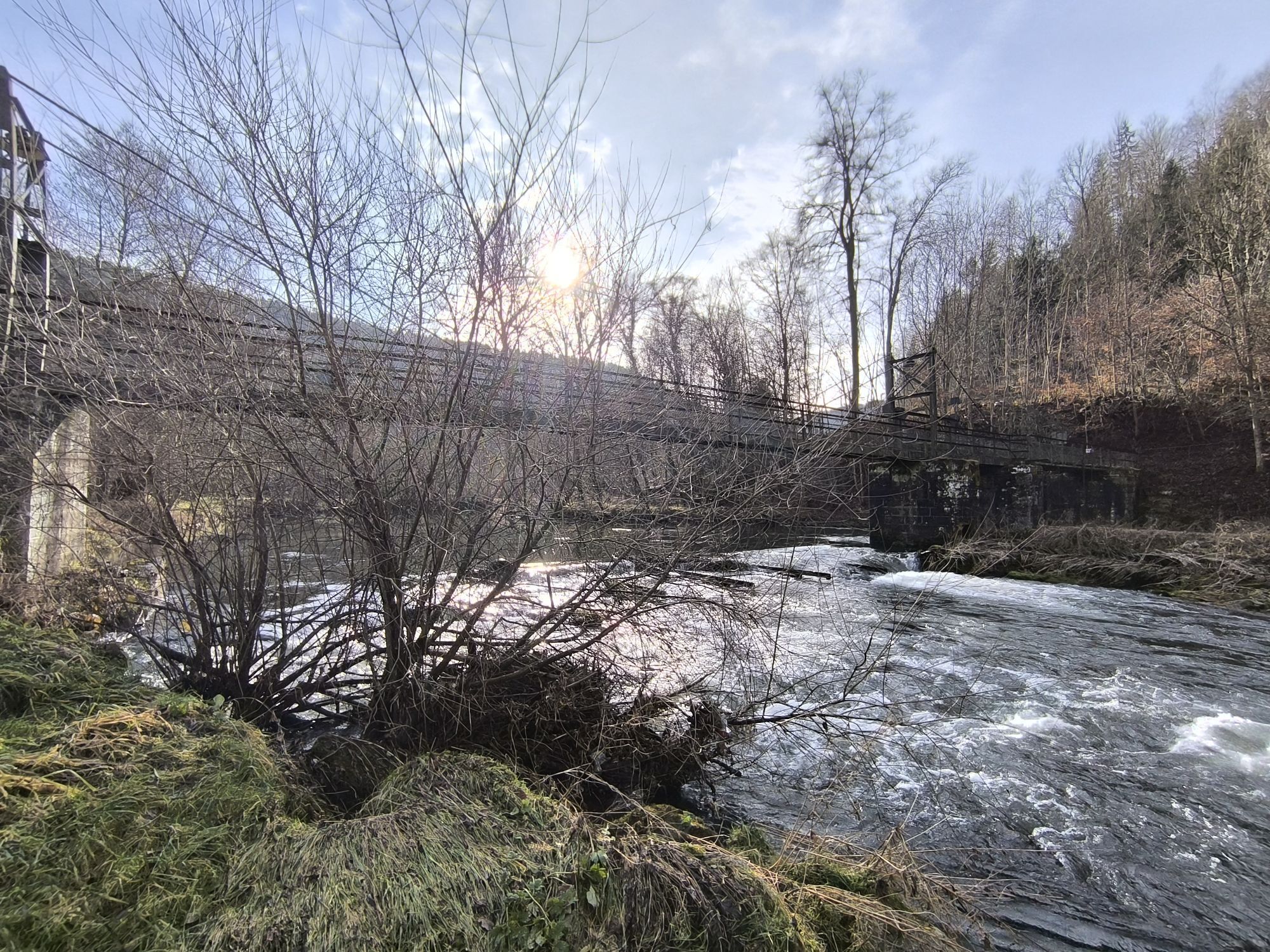
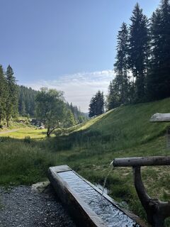 © Ralf UmmingerSkapad på 21.06.2025
 -
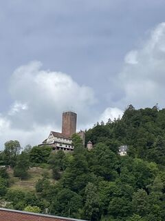
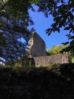
 © Sabine EttischerSkapad på 29.05.2025
 -

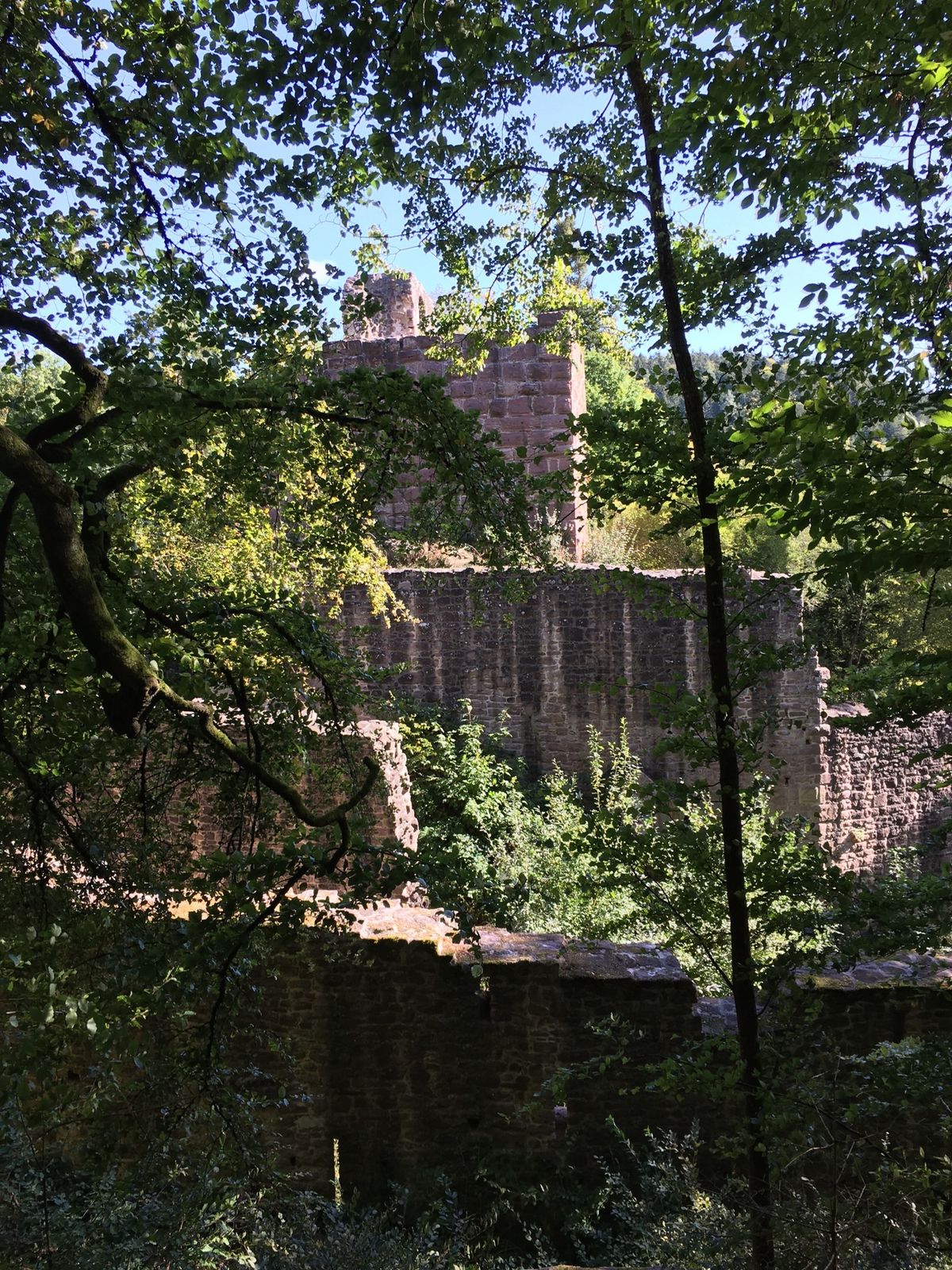
 © Apasara ApfelbachSkapad på 30.01.2025
 -
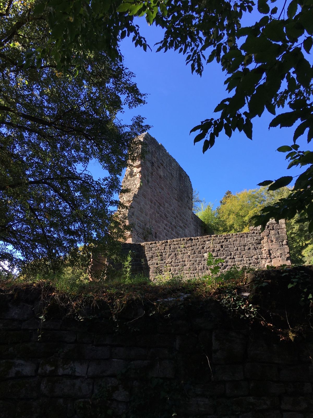
 © Apasara ApfelbachSkapad på 30.01.2025
 -
 © Ralf UmmingerSkapad på 25.06.2022
 -
 © Ralf UmmingerSkapad på 04.10.2020
 -
 © Ralf UmmingerSkapad på 04.10.2020
 -
 © Ralf UmmingerSkapad på 04.10.2020


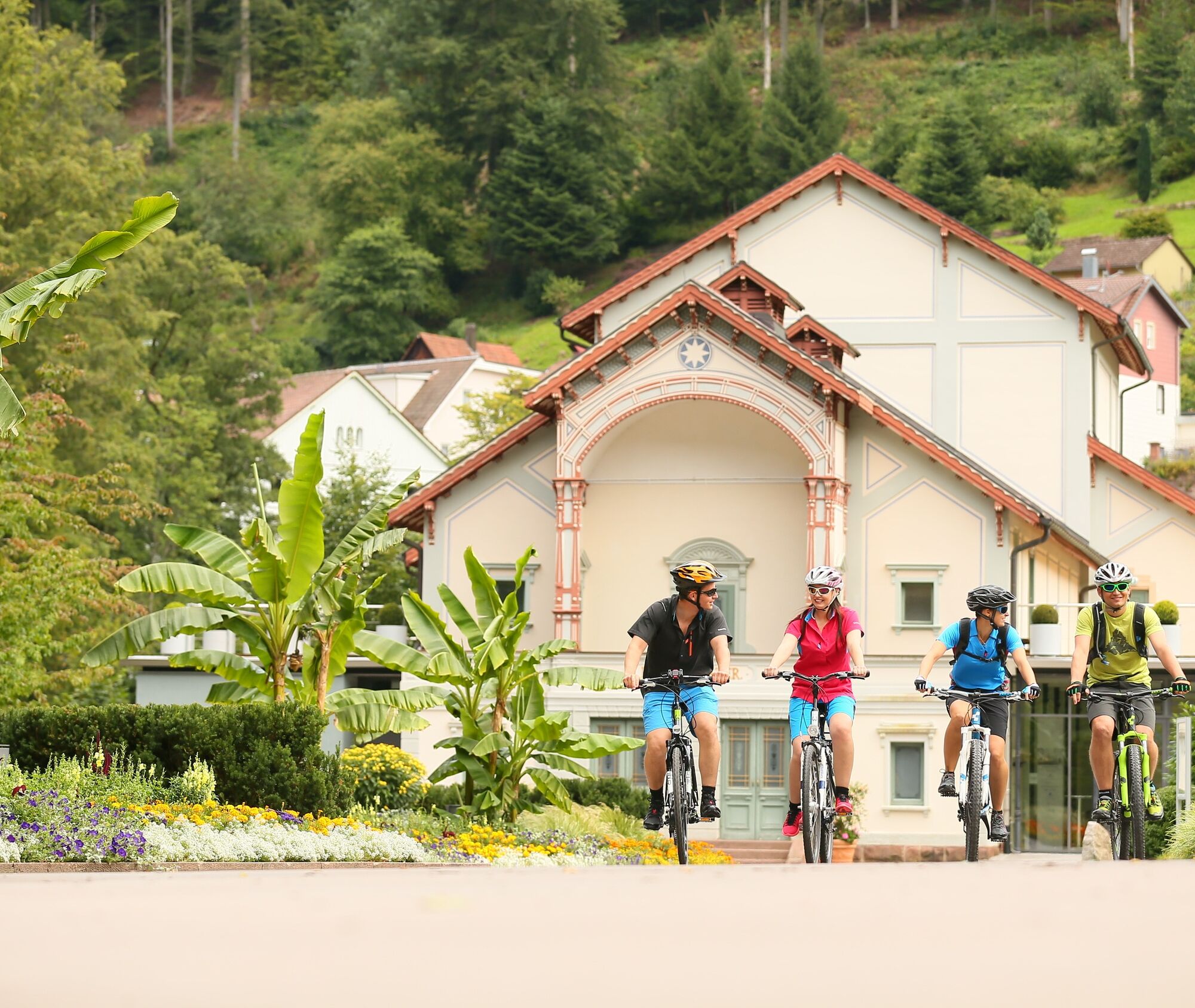
The two very scenic bike trails along the rivers Nagold and Enz with their numerous spas and historic places are combined by the valley round into an impressive circular route.
Along the way, the cyclist...
The two very scenic bike trails along the rivers Nagold and Enz with their numerous spas and historic places are combined by the valley round into an impressive circular route.
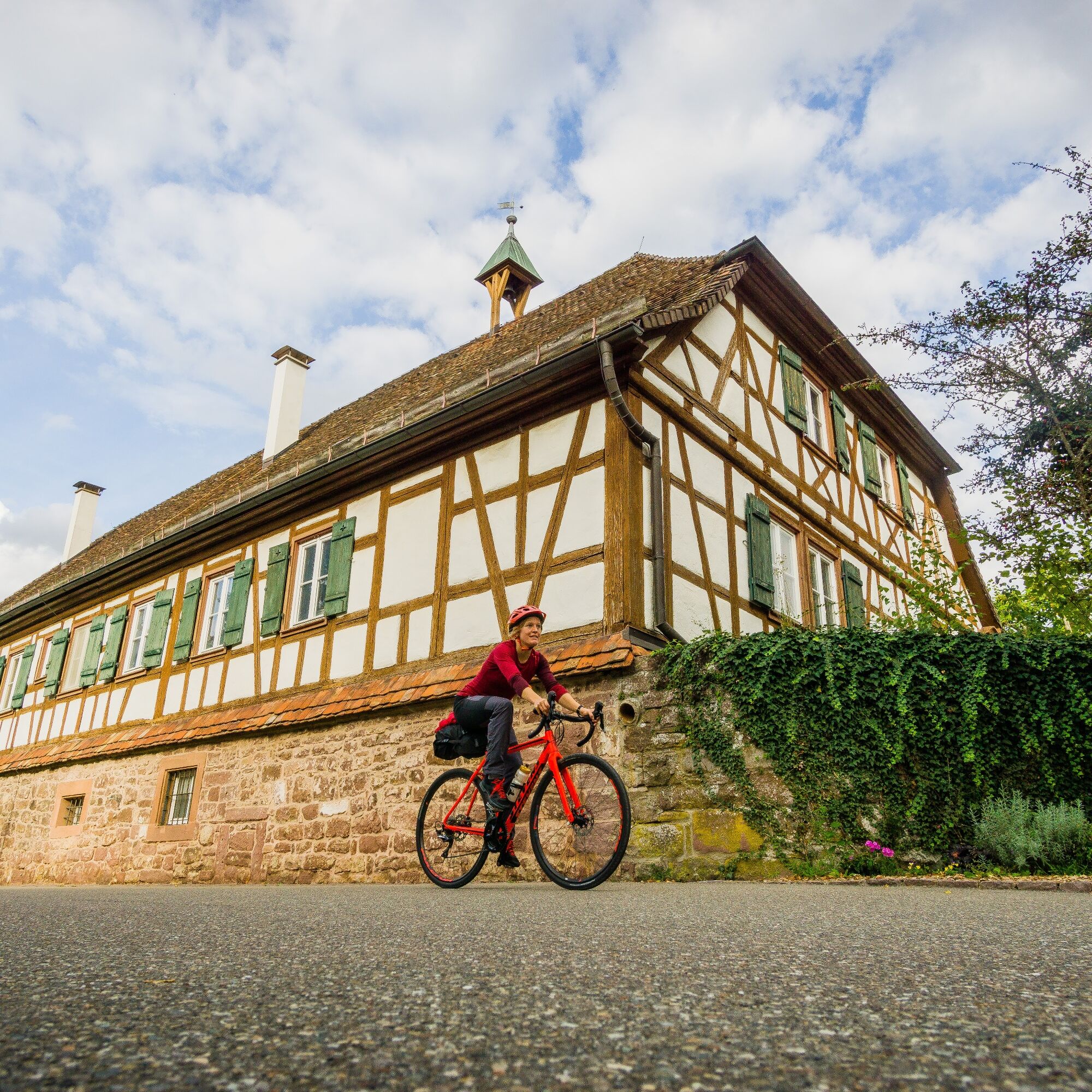
Along the way, the cyclist passes highlights such as the gold town Pforzheim, the spa town Bad Liebenzell with its large spa park, the Hirsau monastery, the Hermann Hesse town of Calw, the shepherd town of Wildberg, the vibrant city of Nagold with castle ruins and the charming town of Altensteig including the castle. Other highlights include the Nagold dam and the royal spa town Bad Wildbad.
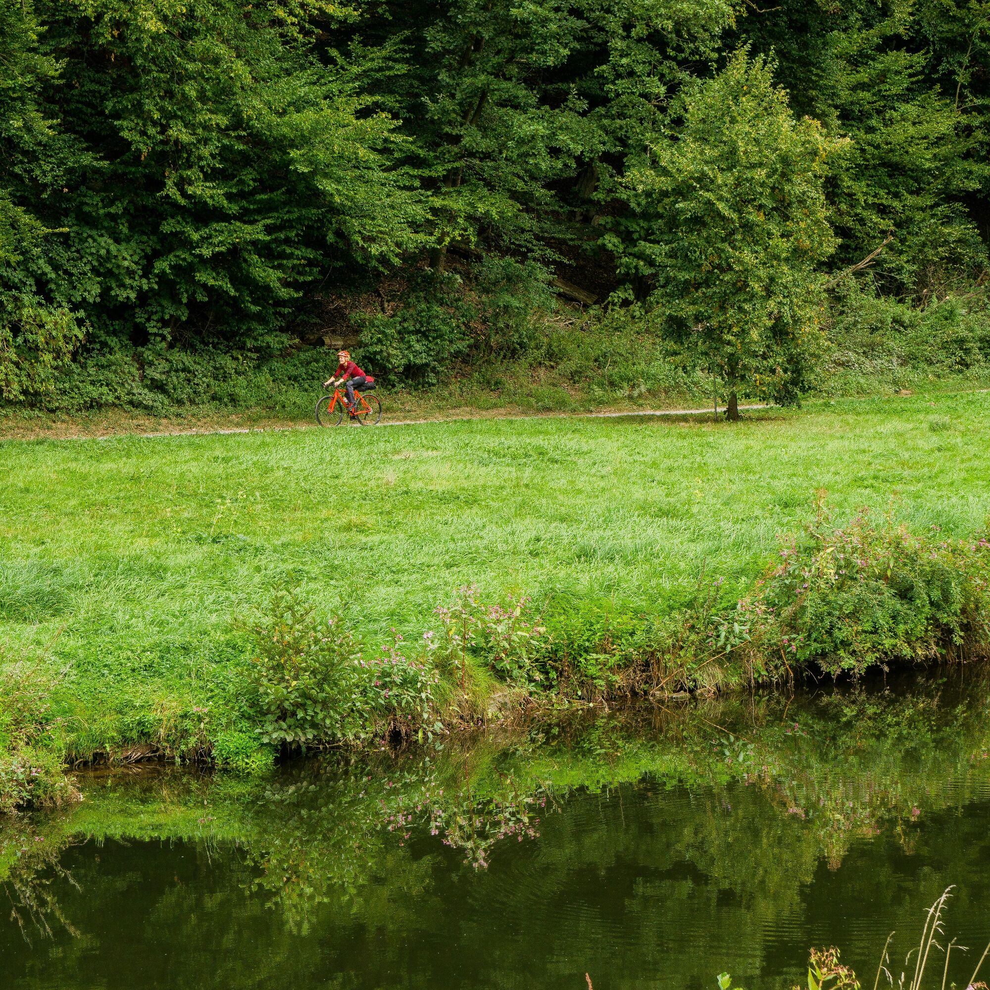
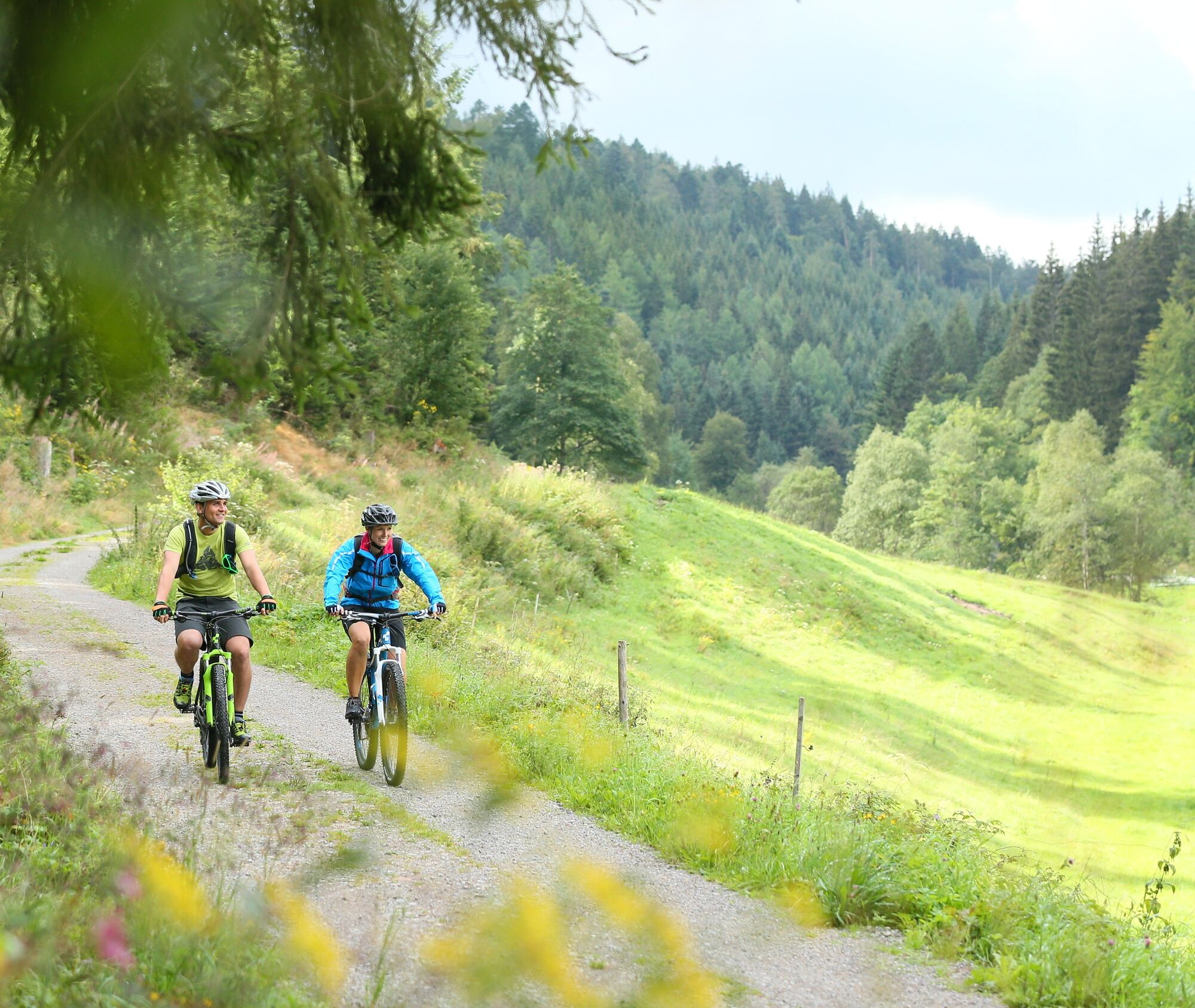
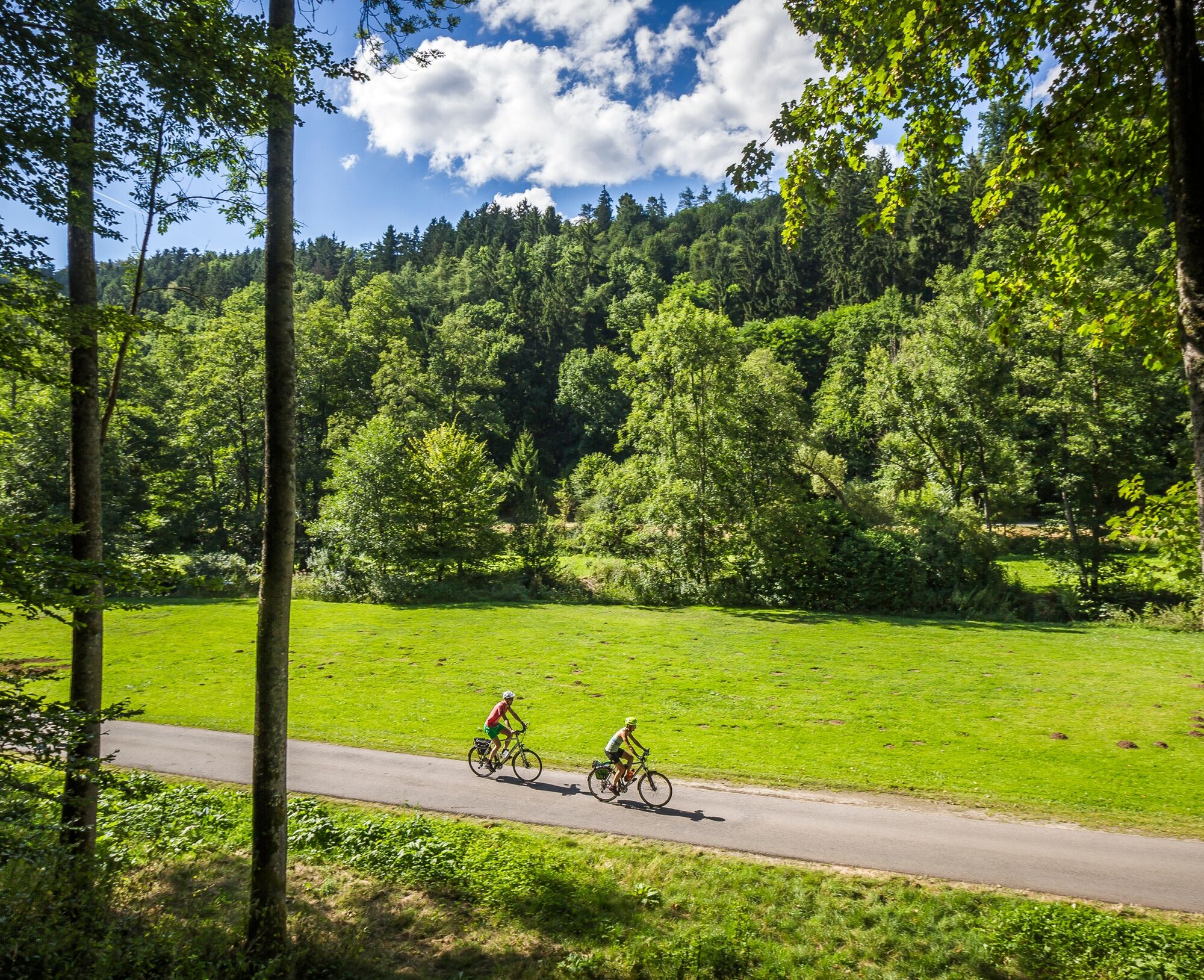
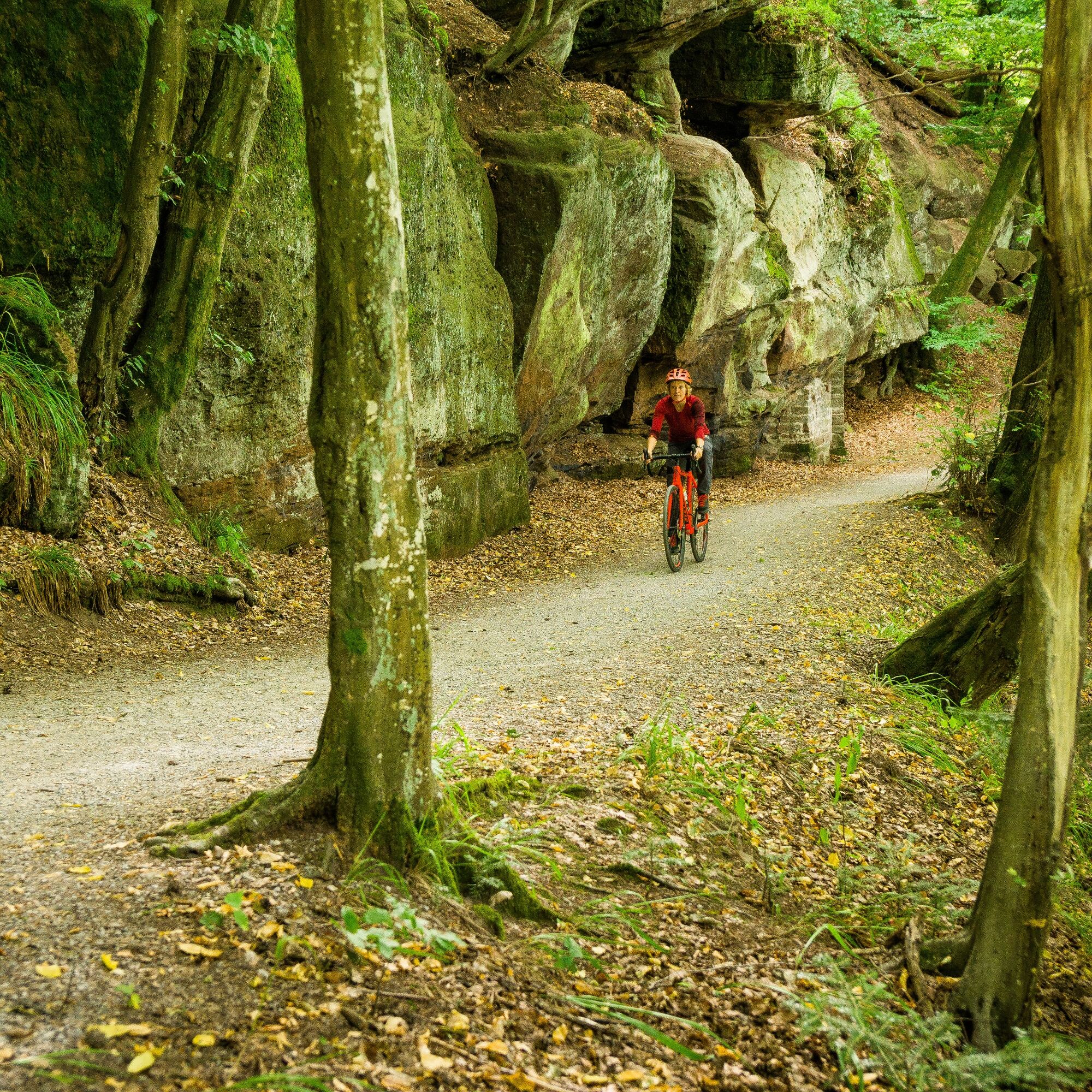
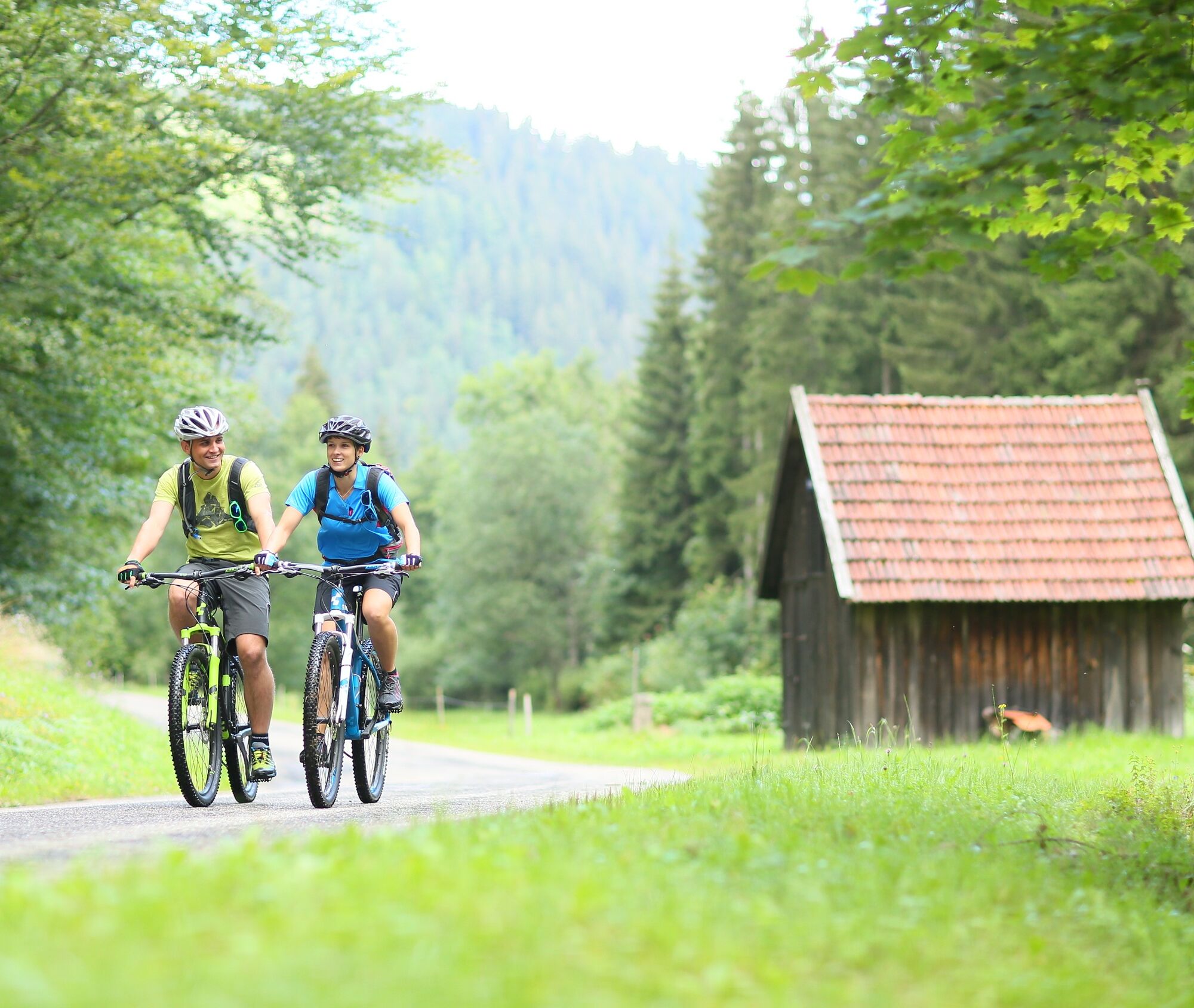
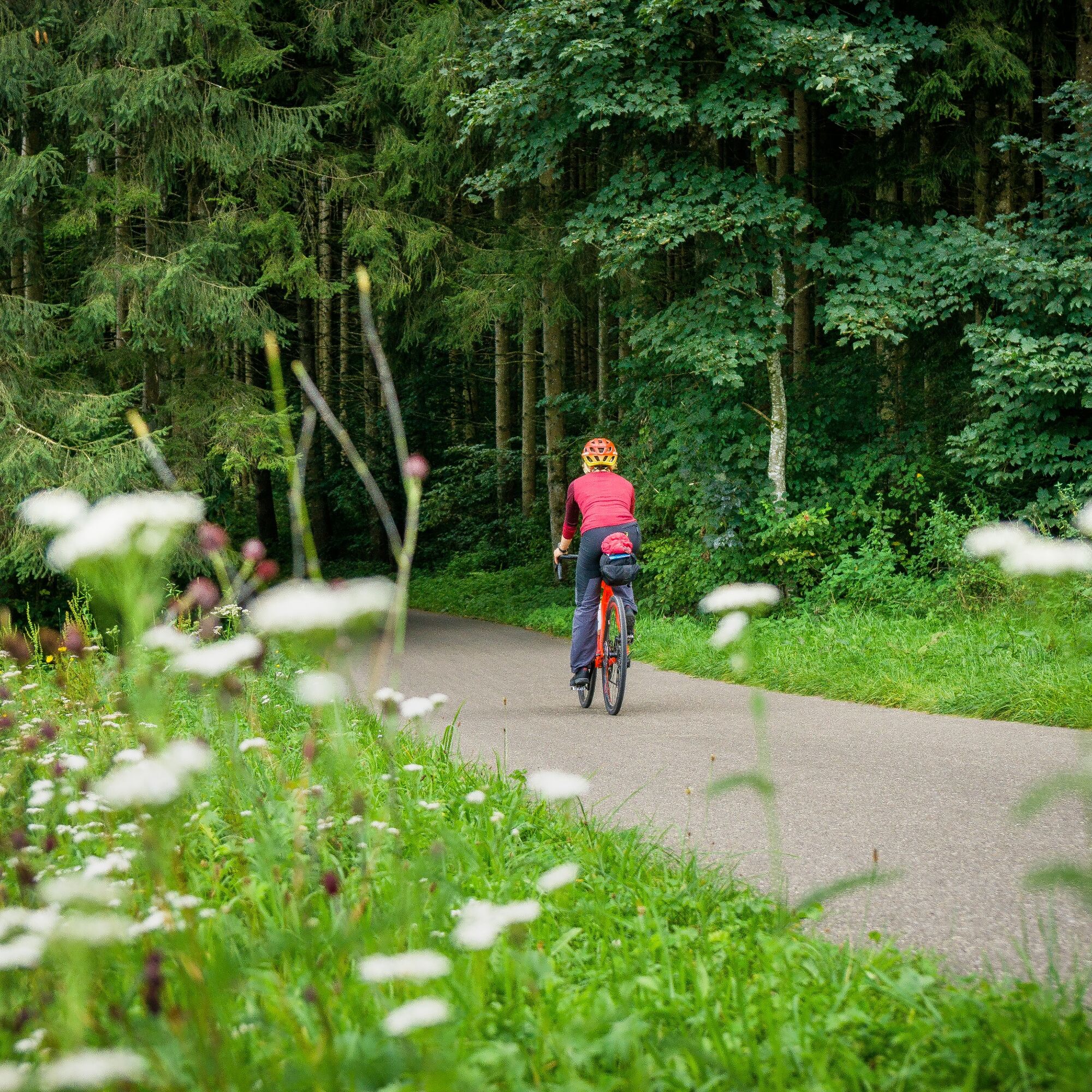
The route mostly follows asphalted bike paths, partly also gravel forest paths. Going upstream along the Nagold, there are only a few climbs to master; the longest ascent is after the Nagold dam. Short sections lead along busy roads (from Nagold to Altensteig) or on busy roads (Neumühle to Erzgrube).


The route can be started at various points as it is a circular route. Due to the possibility of public transport and the fact that there is a bike rental on site in each place, Bad Liebenzell, Nagold, and Bad Wildbad are particularly suitable.
We start our route at the train station in Bad Liebenzell. There are also parking options here. From here we follow the signs of the Nagold Valley Bike Trail and reach Hirsau. It is worth planning a detour to the exciting monastery complex. Then we continue through the spa park to the Hermann Hesse town of Calw.
Attention: Here the bike path leads through the pedestrian zone and walking speed applies!
Afterwards, the bike path sometimes runs along the road, sometimes in the middle of the forest, sometimes directly along the river to the shepherd town of Wildberg. The bike path even passes directly by the Schäferlaufplatz, a large meadow with a natural grandstand, before we reach the Maria Reuthin monastery. Continuing along the river, we reach Nagold. A good place to take a break is the large Kleb city park! Then it continues along the route of the former narrow-gauge railway "Altensteigerle" along the B28. However, you hardly notice a former route here as you cycle on a sidewalk next to the road. In Ebhausen there is the option to leave the road and switch to the "Flößerweg".
This is the more scenic route if you want to get away from the road. A gravel path leads through the forest and we pass the Monhardter wasserstube, an interesting historical monument. At the power plant shortly before the turnoff to Berneck, we switch back to the Nagold Valley bike path and follow the path along the road to Altensteig. We reach a roundabout and follow the signs of the Nagold Valley Bike Trail in the direction of Erzgrube. At the next sign, we keep to the right and cycle towards the old town. We go over cobblestones through the old town and past the old castle. A stop should be planned here!
Then we cycle along Burgstraße, turn left into Dorfer Straße and take the next right into Gymnasiumstraße. This flows into Überberger Weg. We cycle past the water tower and keep to the left. We follow Kirchspielweg straight ahead until we reach Altensteig-Überberg and the Landgasthof Hirsch.
From here we follow Simmersfelder Straße until we turn left into Lengenlocher Straße.
Left of house number 87, we turn left onto the paved path that leads towards the forest. In the forest, we then turn right and come onto a gravel path. After a few hundred meters, the gravel path splits and we keep right. The gravel path leads downhill and flows into an asphalt road. We follow this left downhill and reach the Nagold Valley bike path, which we now follow towards Erzgrube. It passes the Völmlesmühle with fishing ponds and the Pfaffenstube. Here the bike path leads left into the forest, but it is more sensible to stay on the road. On the left is the bus stop Wasserwirtschaftsamt. On the right, the bike path leads into the street Schernbacher Säge. We follow this. It goes uphill and then along the reservoir shore.
At the end of the reservoir, the path leads right up to the road to Schernbach. We follow this to the right and in the next right curve (caution because of traffic) we turn left into the forest. On the gently ascending forest path, we reach a paved road. Here the Nagold Valley bike path turns left, but our route leads right (steeply) uphill to the old Göttelfingen sports field. Then turn left there and through the forest (signposted towards Urnagold) to Eisenbach and further to the B294 (to the left the path would lead to the Nagold source).
We cross the B297 and cycle on a gravel path and then through the forest to the left and reach Besenfeld. After entering the town, we keep left and follow the bike path signs.
We follow the following streets in order: from Tannenweg into Urnagolder Straße, then continuing into Kniebisstraße and then right into Mönchweg. Then turn left into Freudenstädter Straße and at the next opportunity turn right and slightly uphill towards the forest. The path then goes straight through the forest and offers great views towards the Murgtal. We follow the paths through the forest. After about 3.5 km, it goes right towards the Enz valley, short sections lead steeply downhill.
We reach the Enz valley bike path and cycle from the Poppeltal over Gompelscheuer and Enzklösterle to Bad Wildbad. Along the way there are always great views of the wooded heights and the Enz. On arrival in Bad Wildbad, you go through the beautiful spa park into the town. There are also some nice possibilities for a break here, depending on time and mood, a trip on the Sommerbergbahn and an excursion to Sommerberg to the treetop path and the WildLine suspension bridge can also be included.
It continues over partly unfortunately poorly asphalted paths to Calmbach, Höfen and through Neuenbürg past Birkenfeld and Brötzingen to the gold town of Pforzheim. Here the Enz meets the Nagold, or the Nagold flows into the Enz. Here we change the river bike path in sight of the Pforzheim city church and then continue to follow the Nagold Valley bike path. The path leads us through Stadtgarten and always along the river past the stately youth hostel in Dillweißenstein. We follow the bike path through Unterreichenbach and Dennjächt and reach Monbachtal, a primeval gorge with a stream, best explored on foot. Only a few kilometers away we reach Bad Liebenzell again, our starting point of the circular route.
A trekking bike or a gravel bike is best suited for this route. Due to the gravel paths, racing bikes are not suitable.
Short sections run along the B28 and on the L362, special caution is required here.
Arrival by car
Via the A8
Exit Pforzheim West (also exit Pforzheim East possible) onto B 463 towards Calw
Exit Leonberg onto B 295 towards Weil der Stadt
Via the A81
Exit Herrenberg onto B 296 towards Calw
By the Kulturbahn (operating between Pforzheim-Horb-Tübingen)
from Pforzheim via Unterreichenbach to Bad Liebenzell
from Tübingen or Horb via Calw to Bad Liebenzell
By line S6
from Stuttgart to Weil der Stadt, then by bus (line 880) to Bad Liebenzell
Free parking is available directly at the train station in Bad Liebenzell
2
There are many worthwhile cities with great highlights along the route, so you should plan a few stops and bring enough time!
Webbkameror för rundturen
-
Schömberg
-
Zentraler Omnibus Bahnhof (ZOB)
-
Bad Wildbad - Hotel Rothfuß
-
Zentraler Omnibus Bahnhof (ZOB)
-
Zentraler Omnibus Bahnhof (ZOB)
-
Zentraler Omnibus Bahnhof (ZOB)
-
Bad Teinach-Zavelstein
-
Bad Teinach-Zavelstein
-
Bad Teinach-Zavelstein
-
Schafscheuernberg
-
Bad Liebenzell
-
Bad Liebenzell
-
Bad Liebenzell
-
Bad Wildbad
-
Bad Wildbad - Kurplatz
-
Enztalflieger
-
Livestream vom Camping Kleinenzhof
-
Hirschkopflifte
Populära turer i närområdet
-
4,7
Hiking through the Monbach Gorge in search of the kingfisher
MediumVandring 10,5 km -
4,0
Wolfsschlucht and Fox Gorge
MediumVandring 9,74 km -
4,5
Eyach round
MediumVandring 7,84 km -
From Bieselsberg into the wild Monbach valley - dream route on small paths
tungVandring 18,0 km -
5,0
Kaltenbronn Circular Route No. 1 - Wildsee Moor Loop
ljusVandring 8,30 km -
3,0
Dobel High-Altitude Route
MediumVandring 11,8 km -
4,8
Premiumwanderweg Enzquellenpfad
MediumVandring 19,9 km -
5,0
Water, Woods and Meadowtrail / Zavelstein > Calw (Premium trail & Genussweg)
tungVandring 14,4 km -
4,7
Through the wild romantic Schweinbachtal to the Bruderhöhle cave
MediumVandring 13,8 km -
5,0
Nature park hiking round tour Zettelberg in Bad-Teinach
tungVandring 15,5 km
Vandring och spårning


Missa inte erbjudanden och inspiration inför nästa semester
Din e-postadress har lagts till på e-postlistan.