


Valley Circuit - Stage 3: Bad Wildbad-Bad Liebenzell
Svårighetsgrad: 2


Today we combine the two river cycle paths and cycle on the Enz Valley Cycle Path to Pforzheim, then from there follow the Nagold Valley Cycle Path. Along the way in the Enz Valley, starting from Bad Wildbad,...
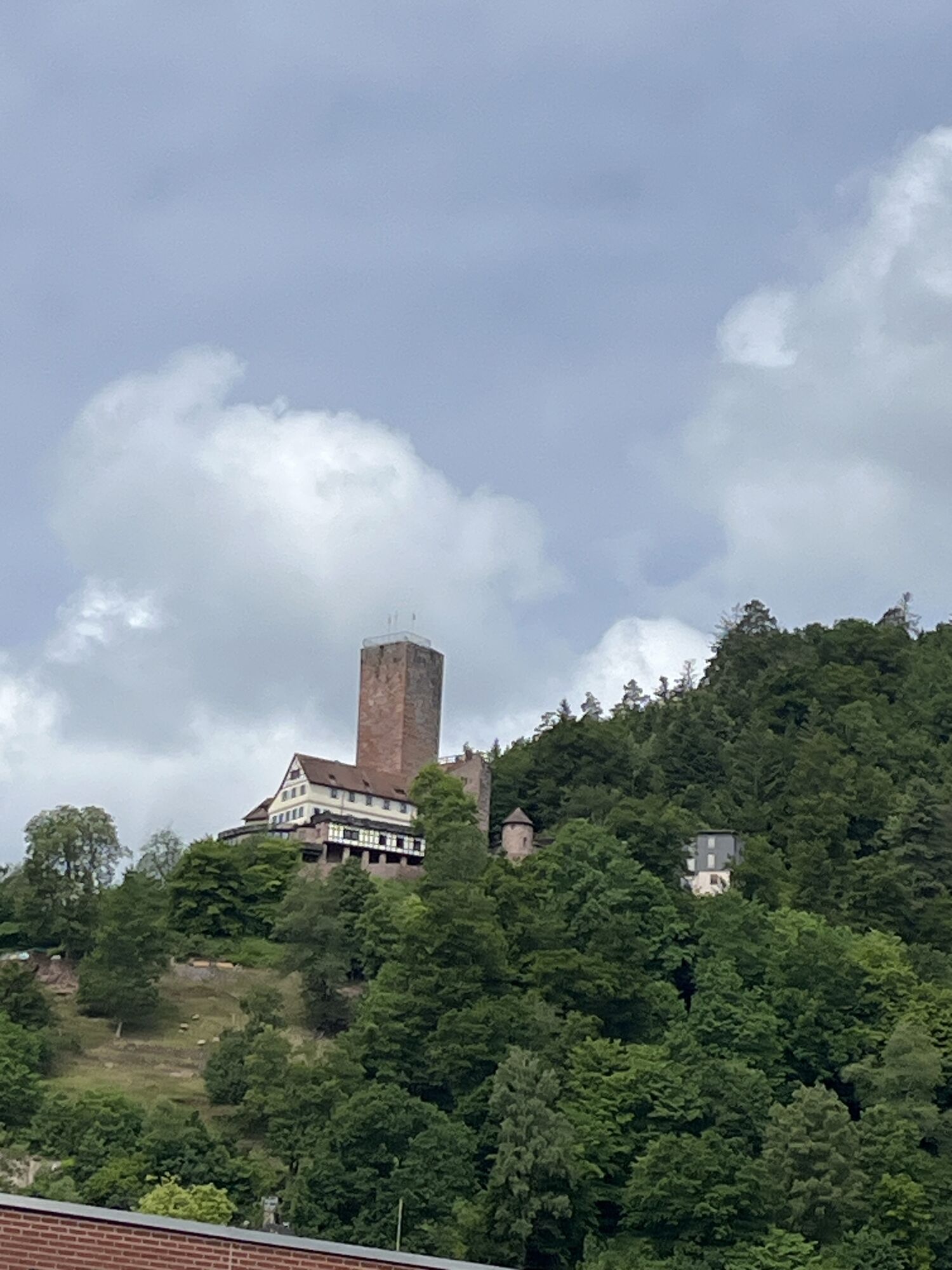
Today we combine the two river cycle paths and cycle on the Enz Valley Cycle Path to Pforzheim, then from there follow the Nagold Valley Cycle Path. Along the way in the Enz Valley, starting from Bad Wildbad, we pass through Calmbach and reach Höfen an der Enz. We continue past the Eyach Bridge to Neuenbürg, where you can visit the castle. Shortly afterwards we reach the Gold Town Pforzheim. Here the Nagold and Enz meet and we now switch to the Nagold Valley Cycle Path.
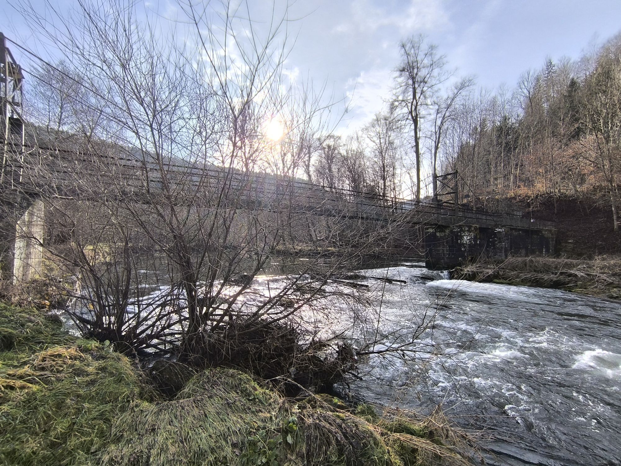
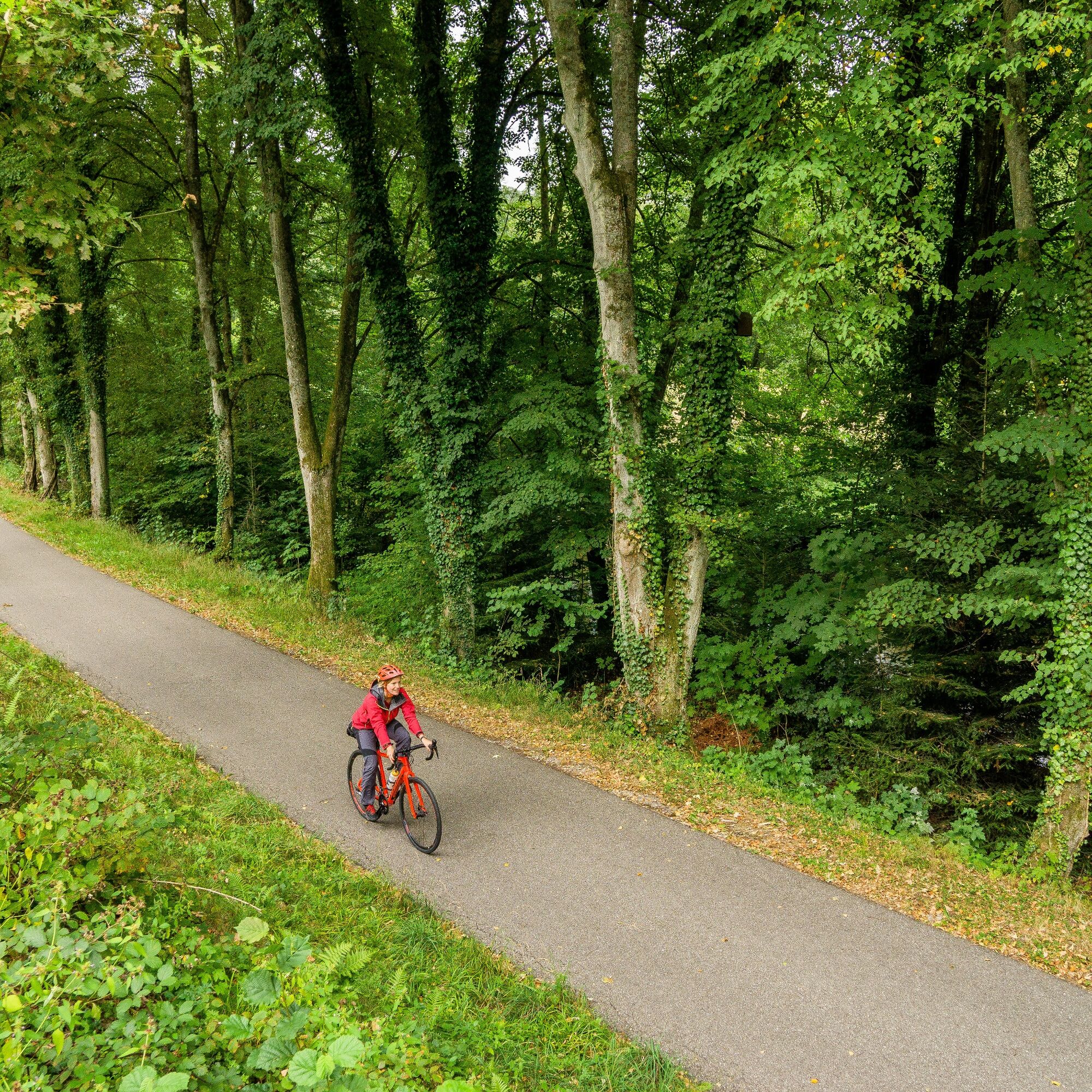
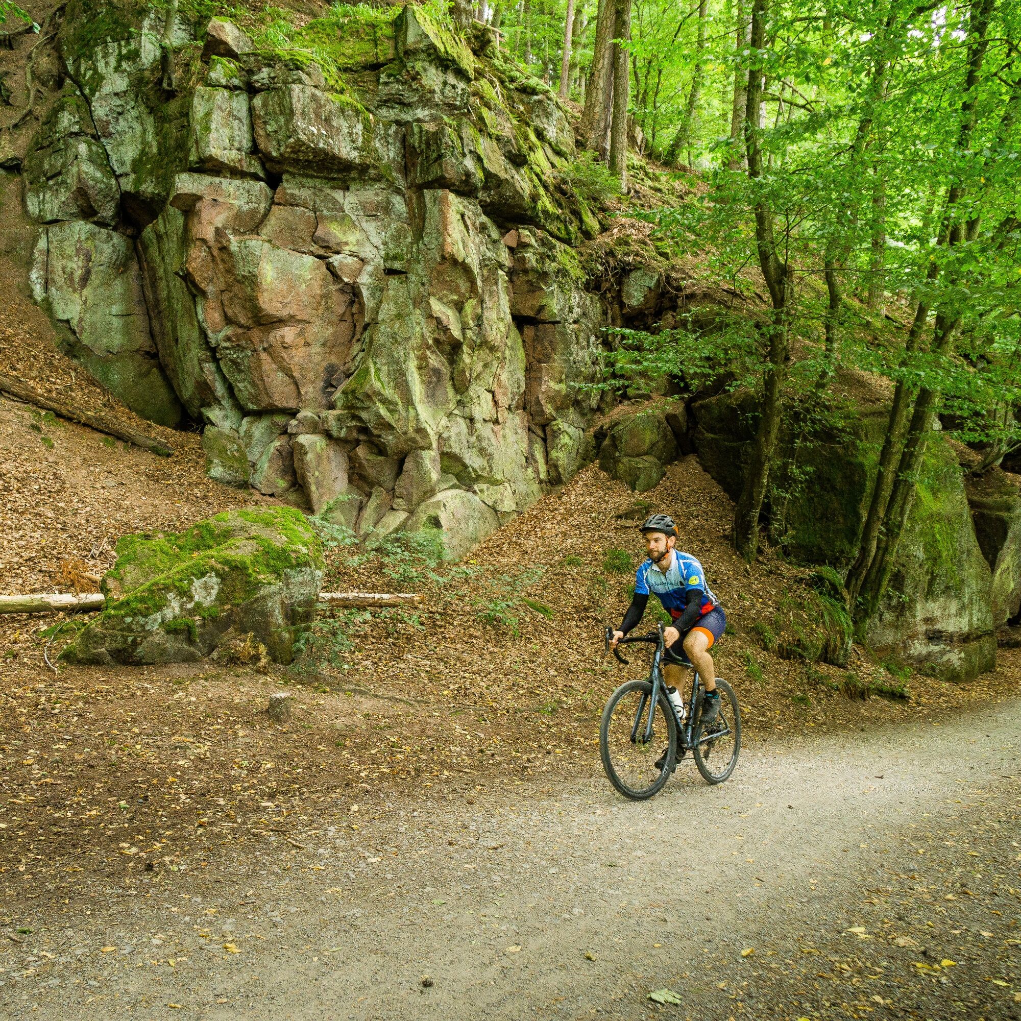
We follow this path and ride through Dillweißenstein and on a short gravel section past beautiful rock formations to Unterreichenbach. A few kilometers later we pass the Monbach Valley, a hiking paradise of pristine beauty. We continue following the Nagold and shortly afterwards arrive at the starting point, the train station in Bad Liebenzell.
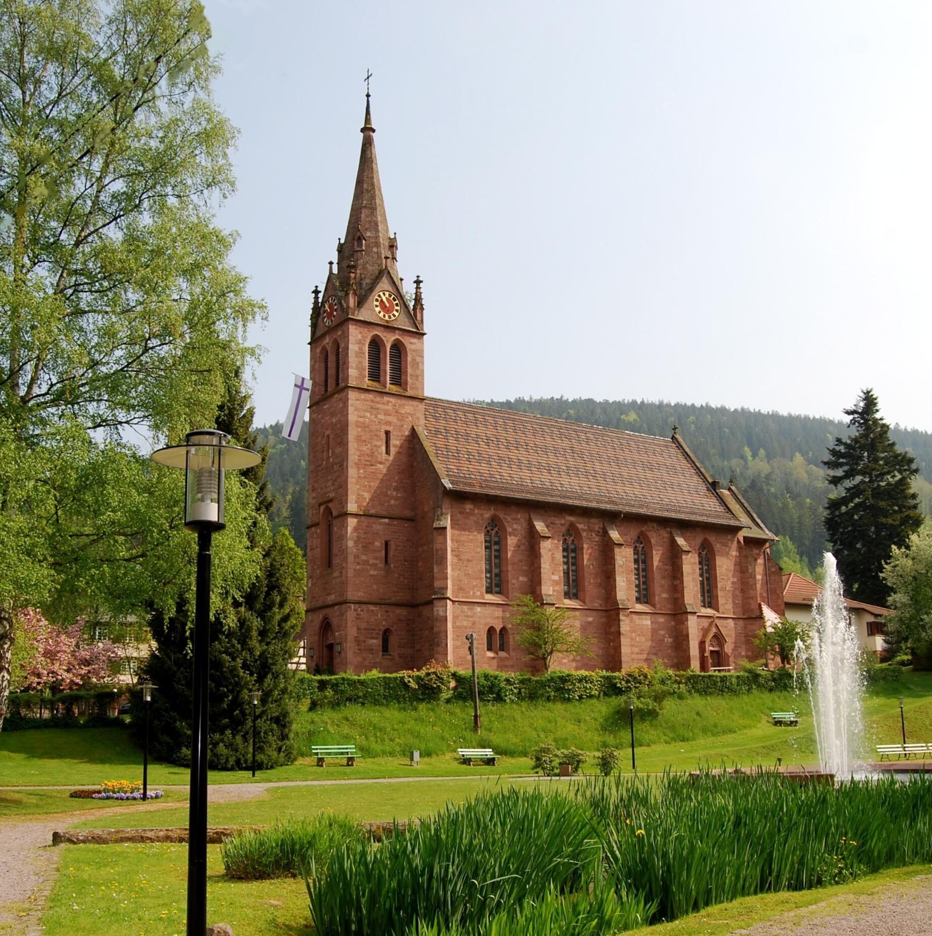
From Bad Wildbad the Enz Valley Cycle Path takes us over partly unfortunately poorly paved roads to Calmbach. It continues through Höfen an der Enz and through Neuenbürg past Birkenfeld and Brötzingen to the Gold Town Pforzheim. Here the Enz meets the Nagold, or rather the Nagold flows into the Enz, and in sight of the Pforzheim town church we change river cycle paths and henceforth follow the Nagold Valley Cycle Path.
The route takes us through the city garden and always along the river past the stately youth hostel in Dillweißenstein. We follow the cycle path through Unterreichenbach and Dennjächt and reach the Monbach Valley, a pristine gorge with a stream that is best explored on foot. Only a few kilometers away we reach Bad Liebenzell again, our starting point of the circular route.
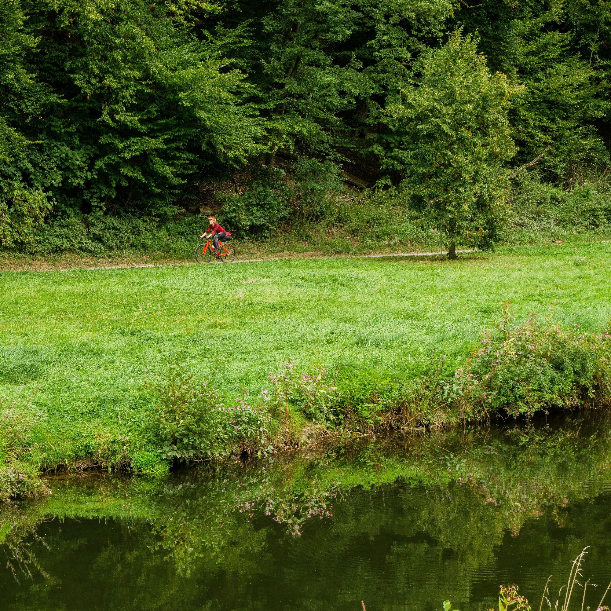
A trekking bike or a gravel bike is best suited for the route. Due to the gravel paths, racing bikes are not suitable.
Short sections run along the B28 and on the L362, special caution is advised here.
B 294 from Pforzheim to Calmbach, then take K 4367 to Bad Wildbad
Tram S 6 from Pforzheim to Bad Wildbad, exit at Uhlandplatz station
2
There are many worth-seeing towns with great highlights along the route, so you should plan a stop or two and bring plenty of time!
Populära turer i närområdet
-
5,0
Wild romantic Monbach Valley
ljusVandring 6,25 km -
4,7
Hiking through the Monbach Gorge in search of the kingfisher
MediumVandring 10,5 km -
4,0
Wolfsschlucht and Fox Gorge
MediumVandring 9,74 km -
4,5
Eyach round
MediumVandring 7,84 km -
From Bieselsberg into the wild Monbach valley - dream route on small paths
tungVandring 18,0 km -
3,0
Dobel High-Altitude Route
MediumVandring 11,8 km -
4,7
Through the wild romantic Schweinbachtal to the Bruderhöhle cave
MediumVandring 13,8 km -
5,0
Idyllic silence - hike into Eyachtal
MediumVandring 13,2 km -
5,0
Gorge duo in the Nagold Valley – A bwegt hiking route
MediumVandring 14,5 km -
4,0
Renn, Walter Speer, renn!
MediumVandring 10,9 km

Vandring och spårning


Missa inte erbjudanden och inspiration inför nästa semester
Din e-postadress har lagts till på e-postlistan.