


Detective Trail "Murder on the Castle Stairs"


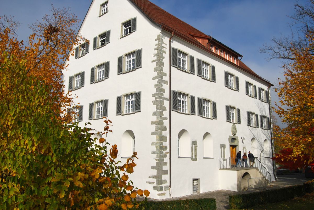
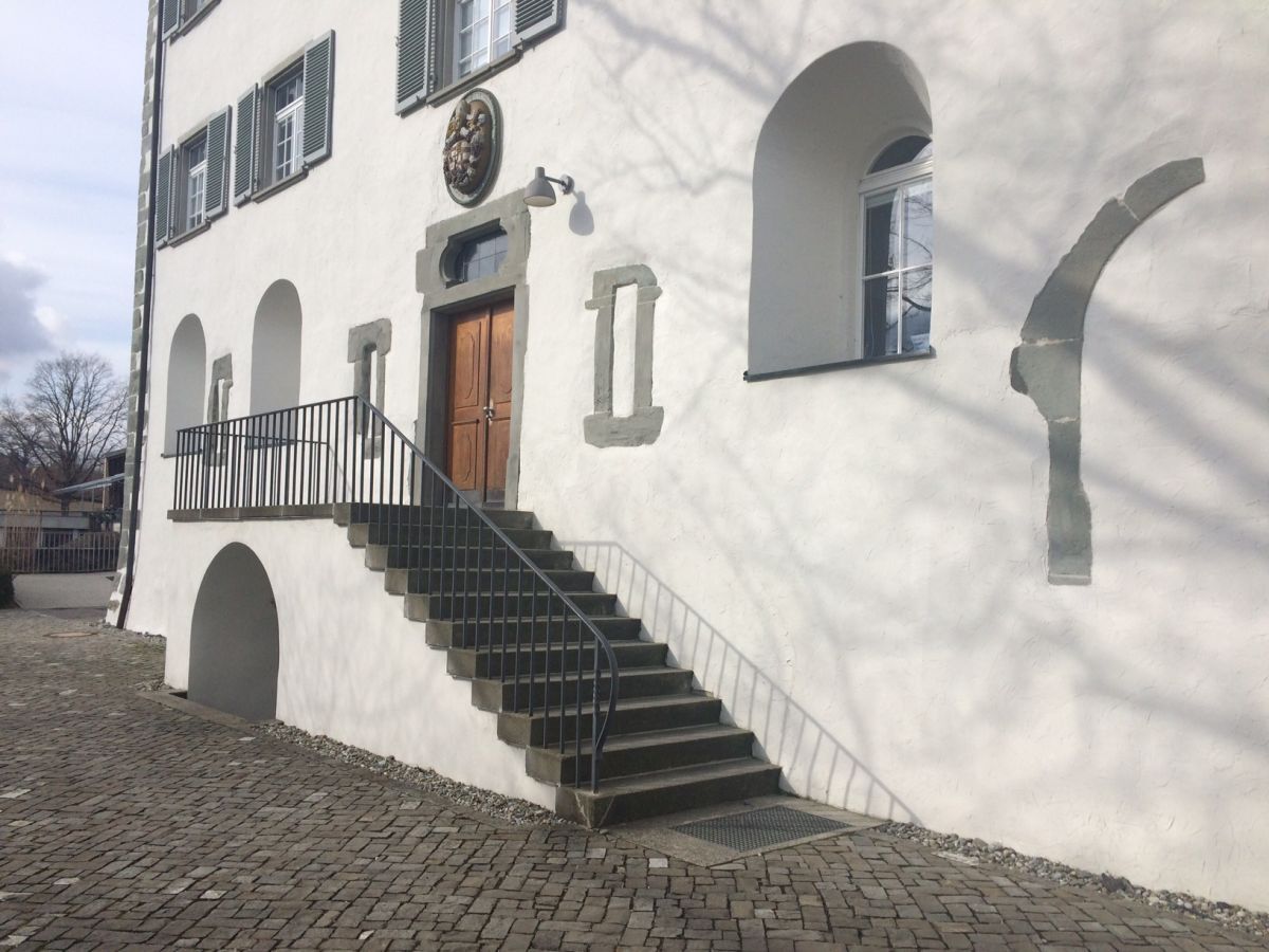
Murder on the castle stairs: At the time of the Council of Constance (1414-1418), Gaienhofen Castle belonged to the Bishop of Constance. Since 1412, Konrad von Reischach resided there, who was married...
Murder on the castle stairs: At the time of the Council of Constance (1414-1418), Gaienhofen Castle belonged to the Bishop of Constance. Since 1412, Konrad von Reischach resided there, who was married to the Spanish princess Isabella, daughter of King Jakob of Mallorca. Due to political intrigues, he had to separate from his wife. Their son Michael was raised by his father in Gaienhofen for security reasons, as he had a claim to the Spanish throne. On the night of St. Bartholomew in 1417, a terrible crime occurred. Konrad von Reischach had invited his relatives and friends to a big celebration that evening. The ladies appeared in precious robes and the gentlemen in elegant tails. Thousands of candles illuminated the castle. People danced merrily to the music and everyone was in high spirits. But then – in the early morning hours – son Michael was found murdered on the castle stairs. But who were the ruthless murderers? Relatives of Konrad who feared for their inheritance, or Spanish mercenaries hired by the Spanish crown? The only hint to the culprits was the murder weapon – a dagger, as the wounds on Michael indicated. But it was and remained missing....
Now it's up to you to solve the riddle. Follow the culprits' traces through historic Gaienhofen and find the weapon to solve the unimaginable crime that happened that night. A reward is assured to you.
Here are the questions: Download

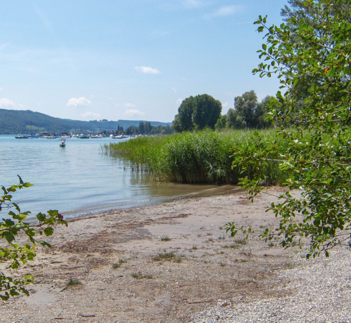
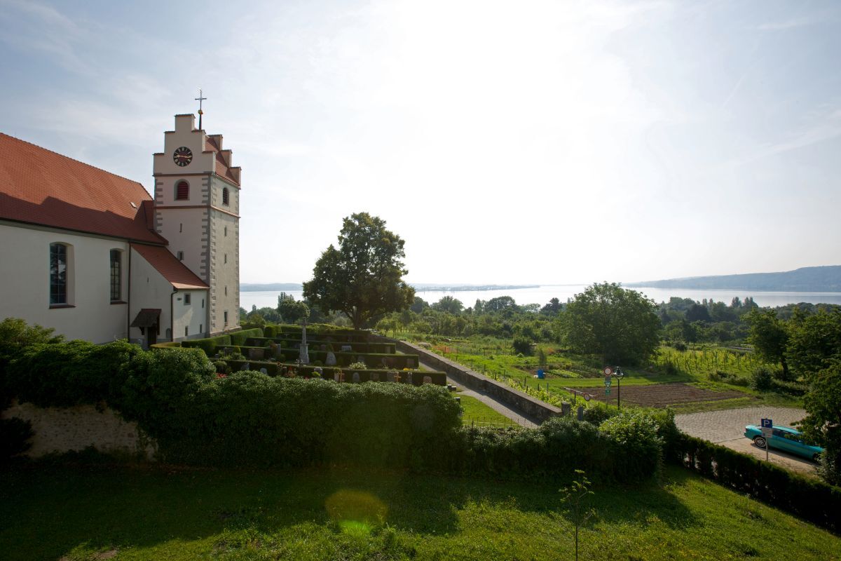
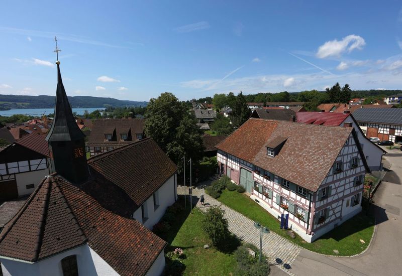
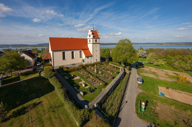
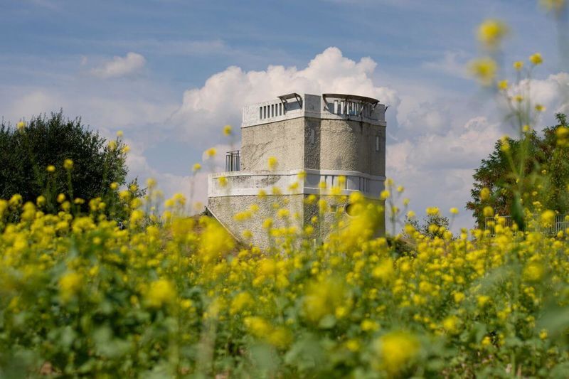
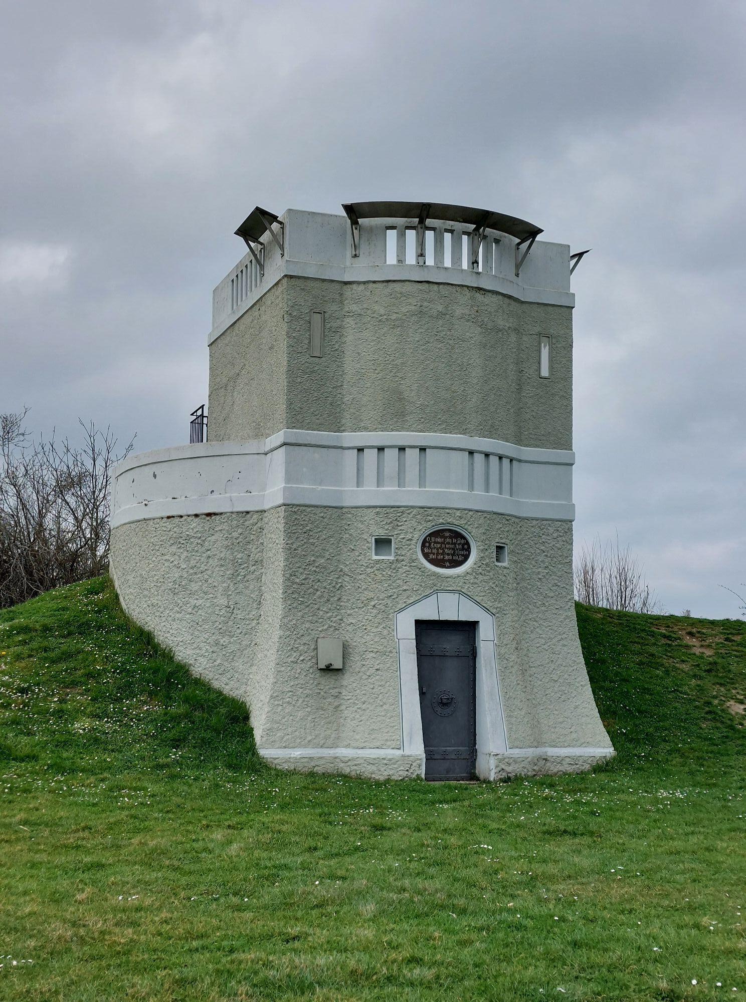
You start at the Hesse Museum Gaienhofen, take the narrow footpath to the town center, where you follow the main street for a while. At the Ev. Melanchthon Church, turn left into Schlossstraße and reach the first station. You continue downhill to the lake, then turn left at the jetty, follow the lakeshore to the "Dschungelbad," the 2nd station. Follow this lakeside path past the beach and campsite (3rd station) to the "Schlössli," a former lakeside restaurant and the 4th station. Then go uphill on Hornstaaderstraße to the right agricultural path, through the old orchards (5th station) to the cemetery, where you can enjoy a great view of the Untersee. Now follow Weilerstraße to the water tower, the 6th station. This is suitable for an extensive picnic. On the way back, at the field cross on the right you will find station 7. Continuing straight, you pass station 8. Now turn left into the agricultural path, through the school grounds (station 9), back to the Hesse Museum. The route and game description of the detective trail is available at: Touristinformation Gaienhofen, Im Kohlgarten 1, 78343 Gaienhofen, Tel. 07735/9999123, touristinfo@gaienhofen.de.
Ja
Sturdy footwear is sufficient, no hiking outfit necessary.
Coming via the A81 from Stuttgart, exit Steißlingen, B34 towards Radolfzell, then towards Höri peninsula, via L192 to Gaienhofen.
Nearest stations: Radolfzell and Stein am Rhein (CH). Coming with bus line 200 from Radolfzell or Stein am Rhein (CH), bus stop Touristinformation Gaienhofen.
Parking available at the Tourist Information Gaienhofen and at the Hermann-Hesse-Schule Gaienhofen.
The route is suitable for hiking or - with small variations - for cycling and is about 7 km long. We recommend it as a half-day route, as there are nice rest areas and gastronomy for breaks along the way. The questions are available at the Tourist Information Gaienhofen.
Webbkameror för rundturen
Populära turer i närområdet
-
3,7
Mindelsee-Runde
ljusVandring 7,83 km -
4,0
Around the island of Reichenau
ljusVandring 10,9 km -
4,0
Bodanrück-Runde
tungVandring 8,36 km -
5,0
Mühlsberg-Runde
MediumVandring 8,67 km -
3,7
Firstweg Langenmos
MediumVandring 5,76 km -
Nature enjoyment on the circular hiking route with a view of Freudental Castle
ljusVandring 5,67 km -
Hike on the panorama route of the Höri Peninsula
MediumVandring 8,11 km -
Hegne circular route
ljusVandring 4,26 km -
4,0
Homburg-Steig
MediumVandring 5,83 km -
Stein am Rhein - Hohenklingen Castle - Stein am Rhein
tungVandring 7,79 km
Vandring och spårning


Missa inte erbjudanden och inspiration inför nästa semester
Din e-postadress har lagts till på e-postlistan.