


LT 23 - Renaissance and stone terraces


From the market square in Weikersheim, you start on the old Laudenbacher Street and walk a short stretch through beech and mixed forest to the mountain church of Laudenbach. There you descend on the Way...
From the market square in Weikersheim, you start on the old Laudenbacher Street and walk a short stretch through beech and mixed forest to the mountain church of Laudenbach. There you descend on the Way of the Cross to Laudenbach before the path leads you back up to a high plateau – here you can enjoy the view into the Württemberg Franconia region. From Queckbronn, you hike a piece along a paved path towards Karlsberg up to the road to Tauberrettersheim. From there, you follow the panoramic route with wonderful views into the Tauber valley back to Weikersheim.
Worth seeing
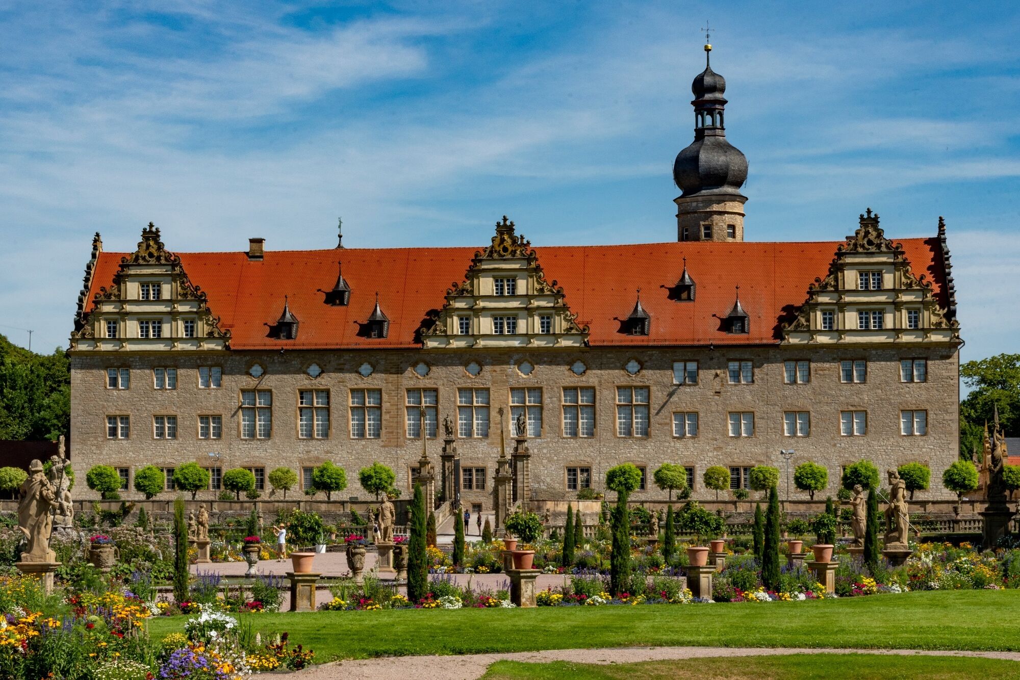
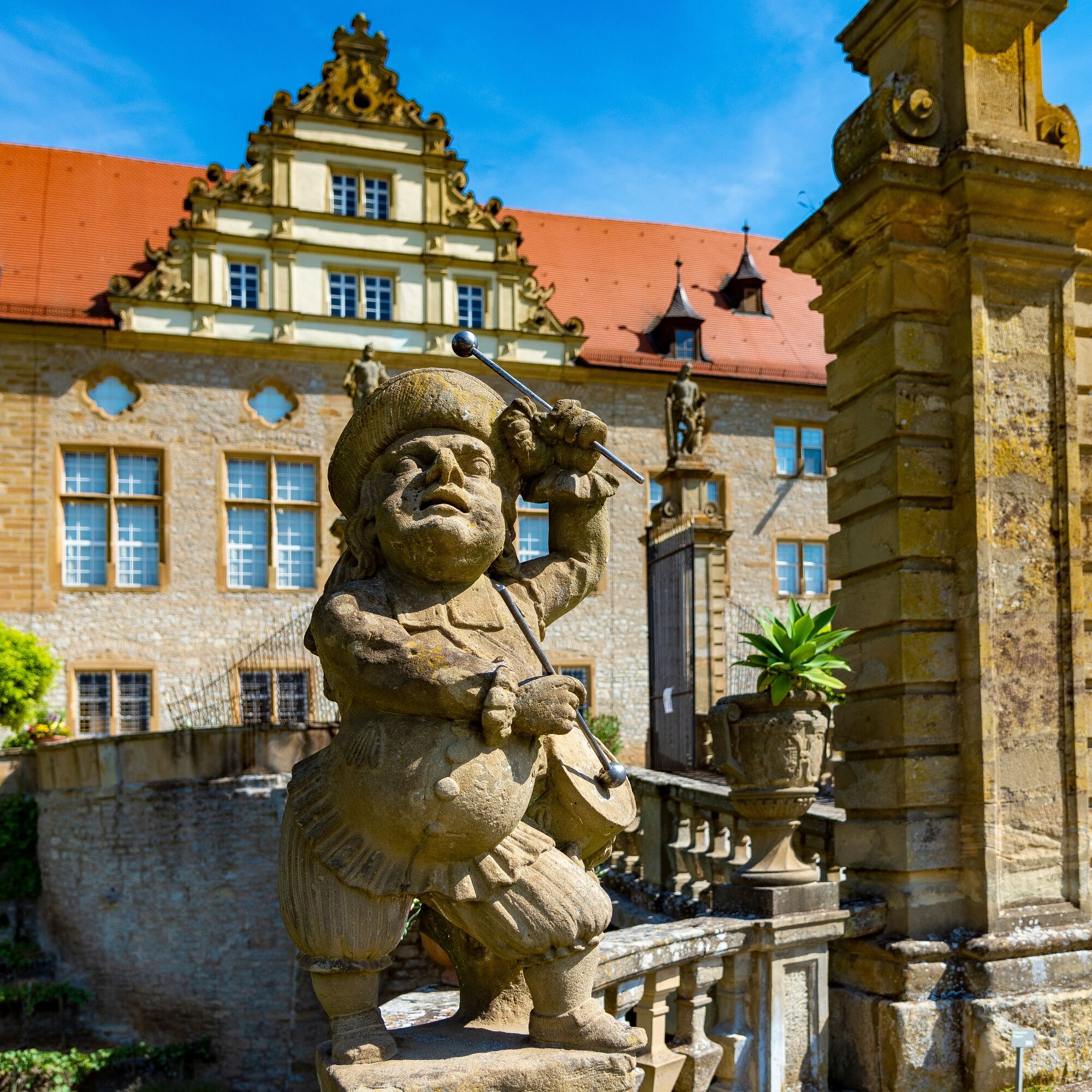
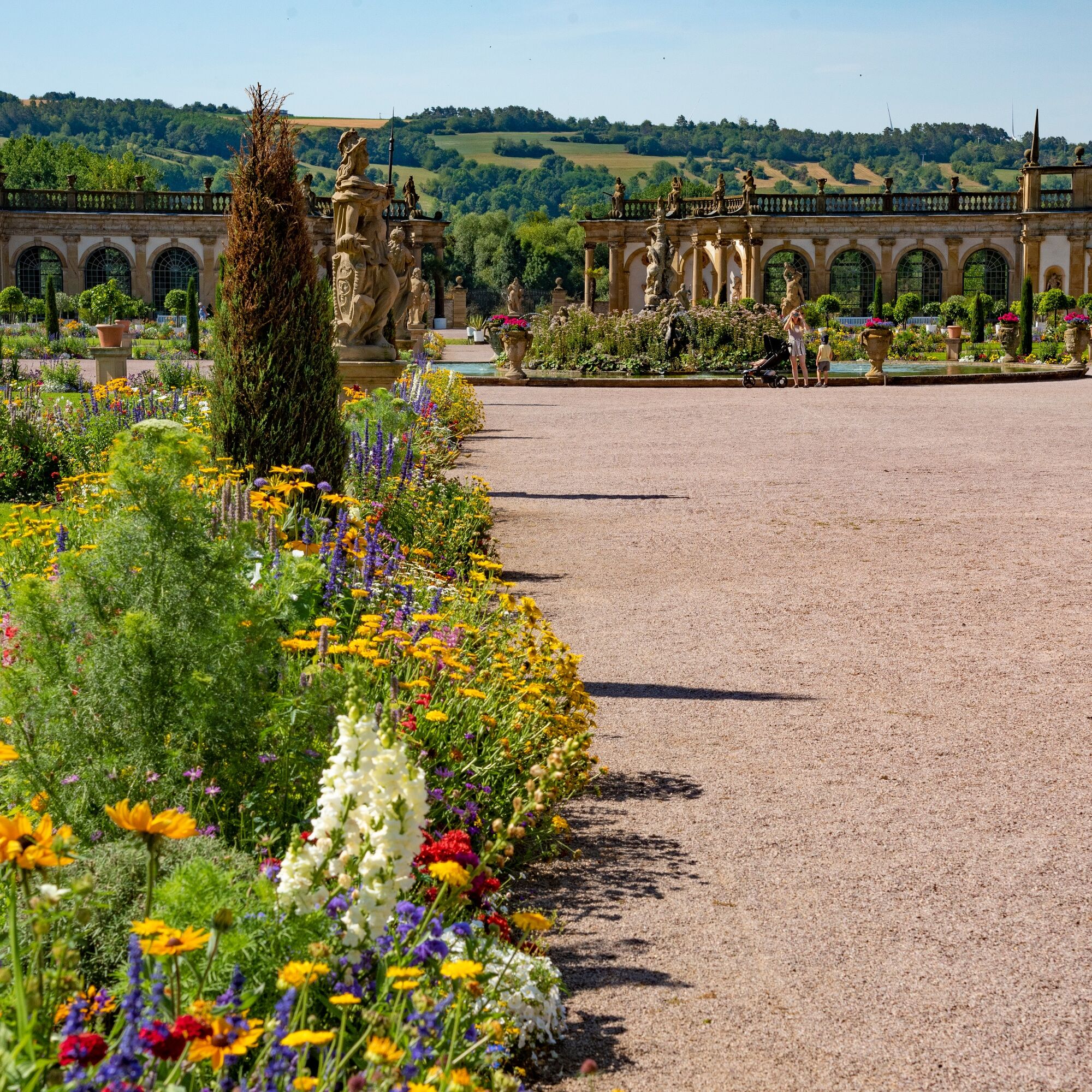
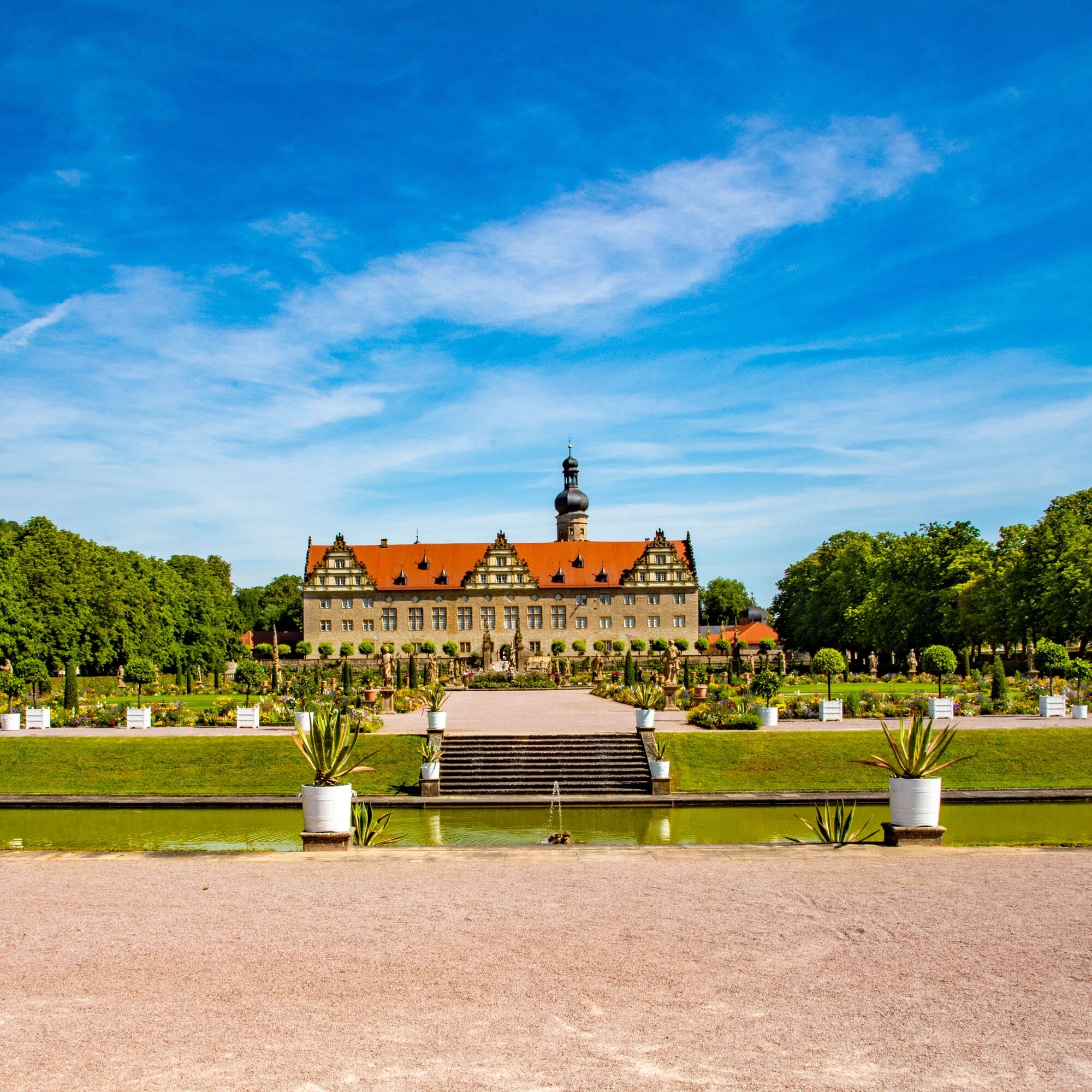
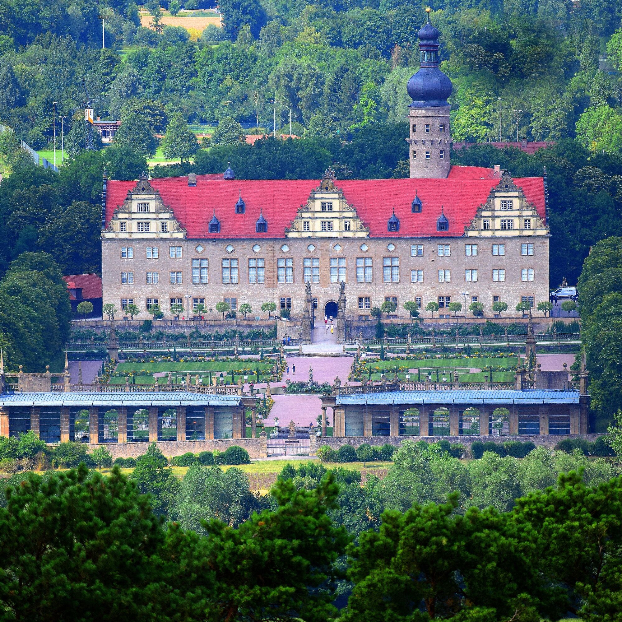
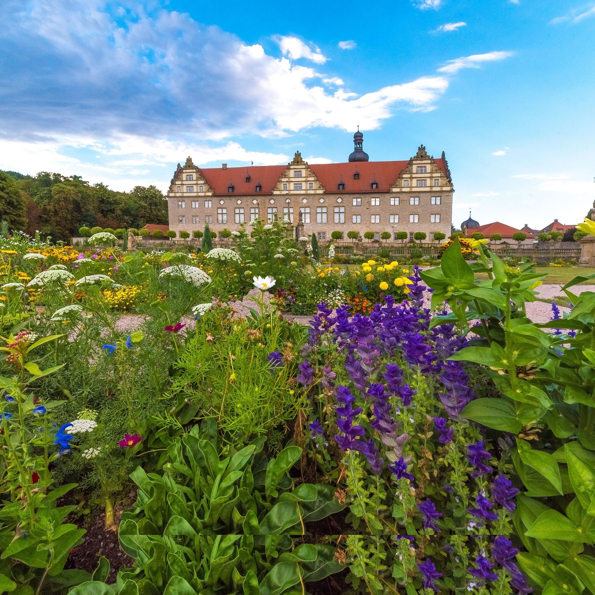
Weikersheim: medieval town with palace and palace garden, Tauberland Village Museum, remains of the old town wall with goose tower
Laudenbach: Mountain church Laudenbach
Queckbronn: beautiful small farming village
Route distances LT 23:
Weikersheim to Mountain Church Laudenbach: 4 km
Mountain Church Laudenbach to Laudenbach: 1 km
Laudenbach to Queckbronn: 2 km
Queckbronn to Weikersheim: 5 km
Ja
Hiking equipment and provisions recommended.
Via L 2251 coming from Bad Mergentheim.
Via L 1020 coming from Rothenburg o.d.T.
By bus and train to Weikersheim.
See local signage.
Discover the palace in Weikersheim: Weikersheim Palace
Visit the Renaissance palace and the palace park of Weikersheim!
Populära turer i närområdet
-
4,0
Panoramaweg - 1st stage
tungVandring 24,1 km -
Panoramaweg - Stage 2
tungVandring 32,4 km -
Main-Tauber-Franconian Rad-Achter: Outer Ring 5th stage
MediumCykling 26,7 km -
5,0
Stadtwald Aub
ljusVandring 8,66 km -
5-star cycle route “Lovely Tauber Valley - The Classic”
tungCykling 101,7 km -
Wine cycling route 2nd stage: To the Meistertrunk
MediumCykling 28,4 km -
Wine cycling trip 4th stage: Health and wine
MediumCykling 28,6 km -
Liebliches Taubertal - The Classic 2nd Stage
ljusCykling 33,7 km -
Liebliches Taubertal - The Classic 1st stage
MediumCykling 39,3 km -
4,0
Rundtour durch Rothenburg und Creglingen
MediumCykling 45,9 km

Vandring och spårning


Missa inte erbjudanden och inspiration inför nästa semester
Din e-postadress har lagts till på e-postlistan.