


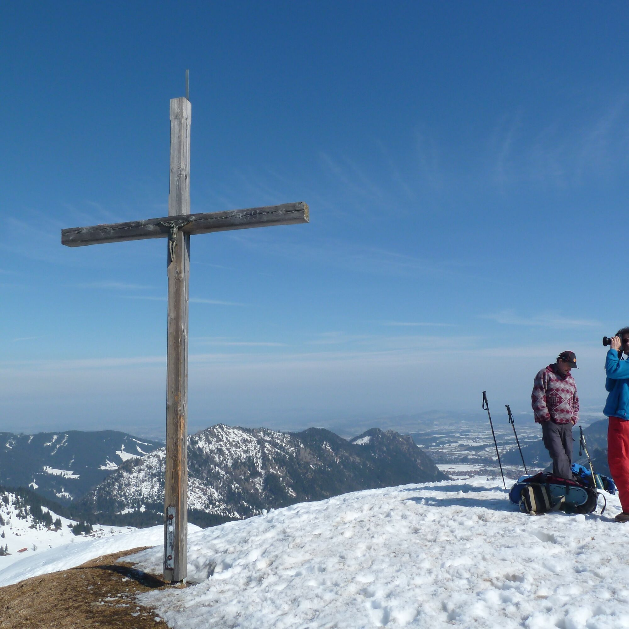
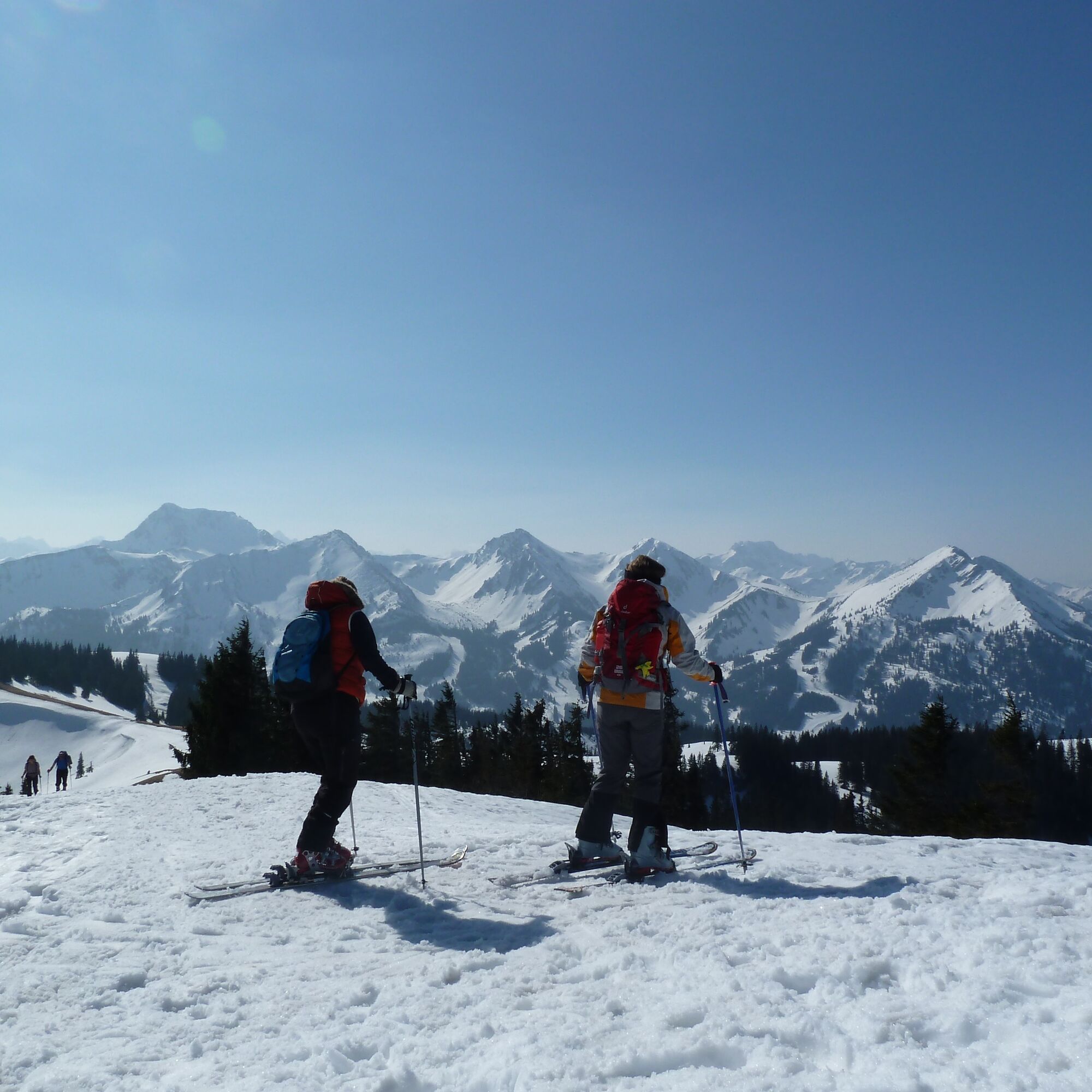
"Schönkahler" ski tour - environmentally friendly ski mountaineering


You start at the car park in the Achtal valley, which is on the way to the Tannheimer valley in Tyrol. From there, the entire tour is very well signposted. It is a relatively easy tour with no steep sections.

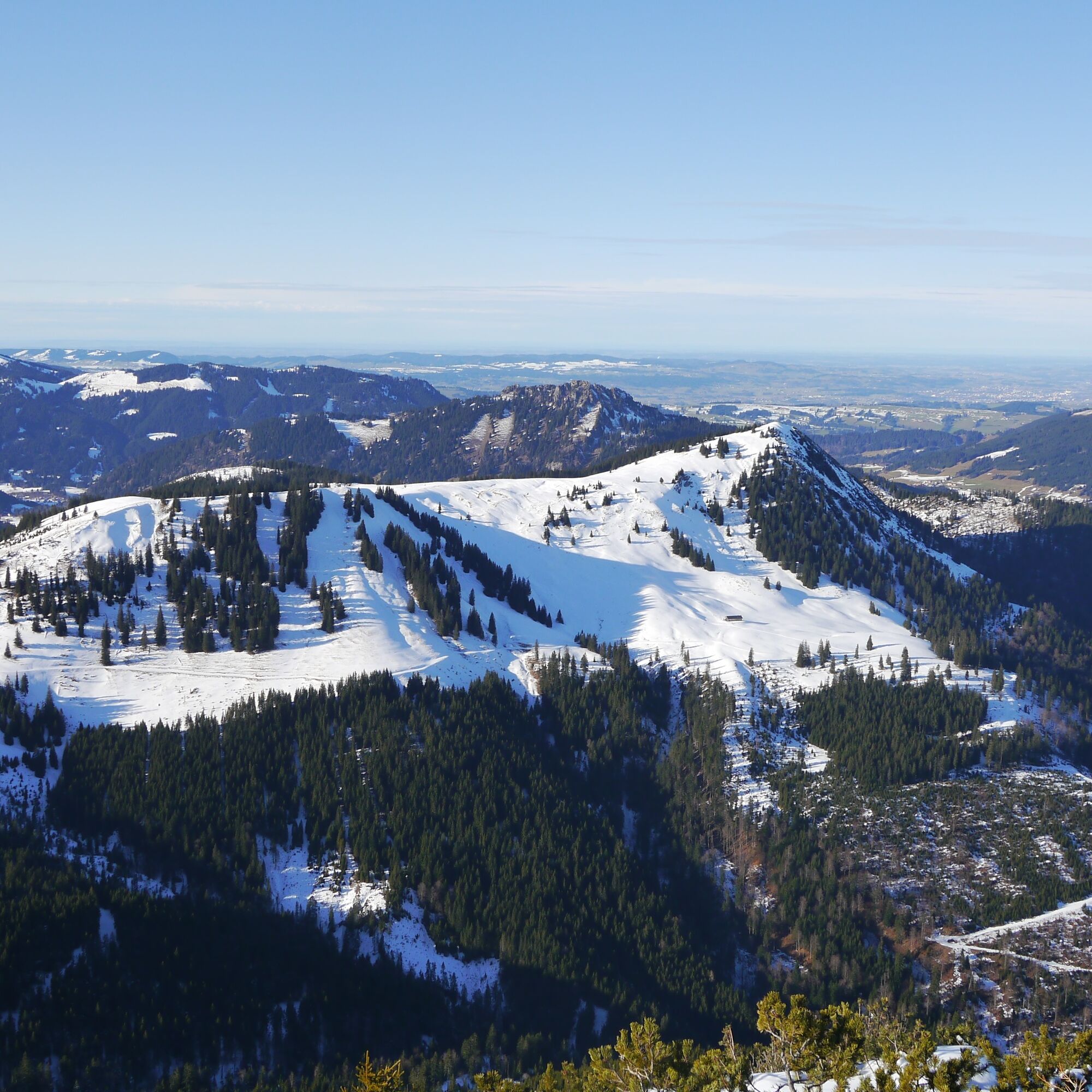
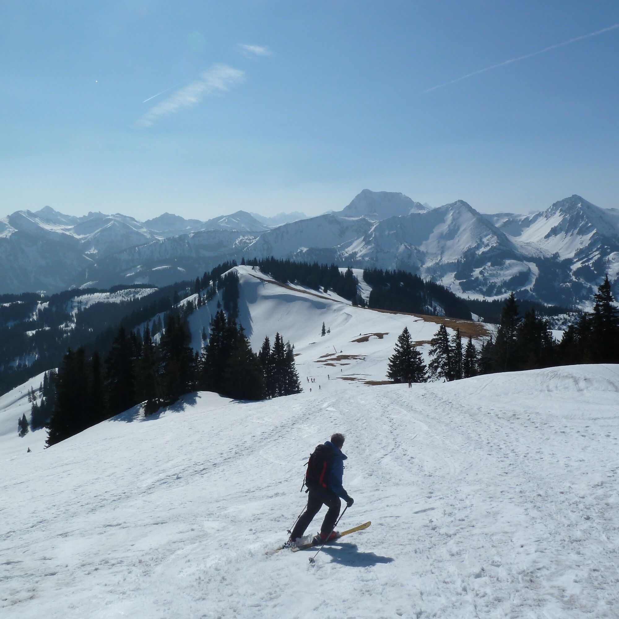
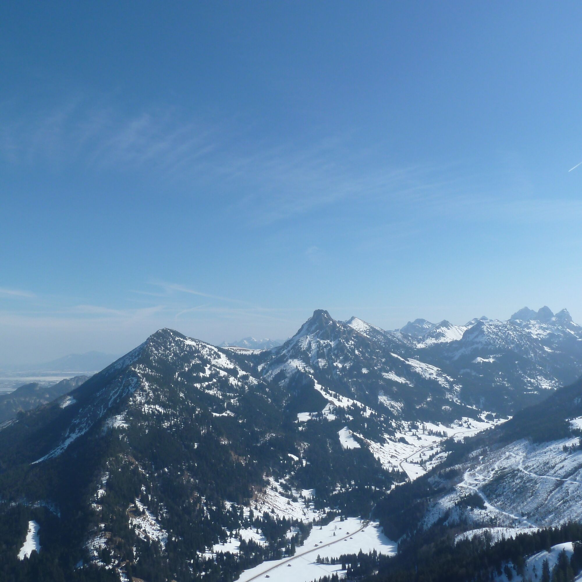
The ascent route essentially follows the summer path. First west over the bridge of the Kotbach stream to the edge of the forest. Then the path turns left/south. From a small hut you come across a new, wide path that leads through wind-broken terrain to the open high hollow near a hut (not open to visitors). Continue west and over the wide ridge to the north to the summit. Descent in the same way as ascent.
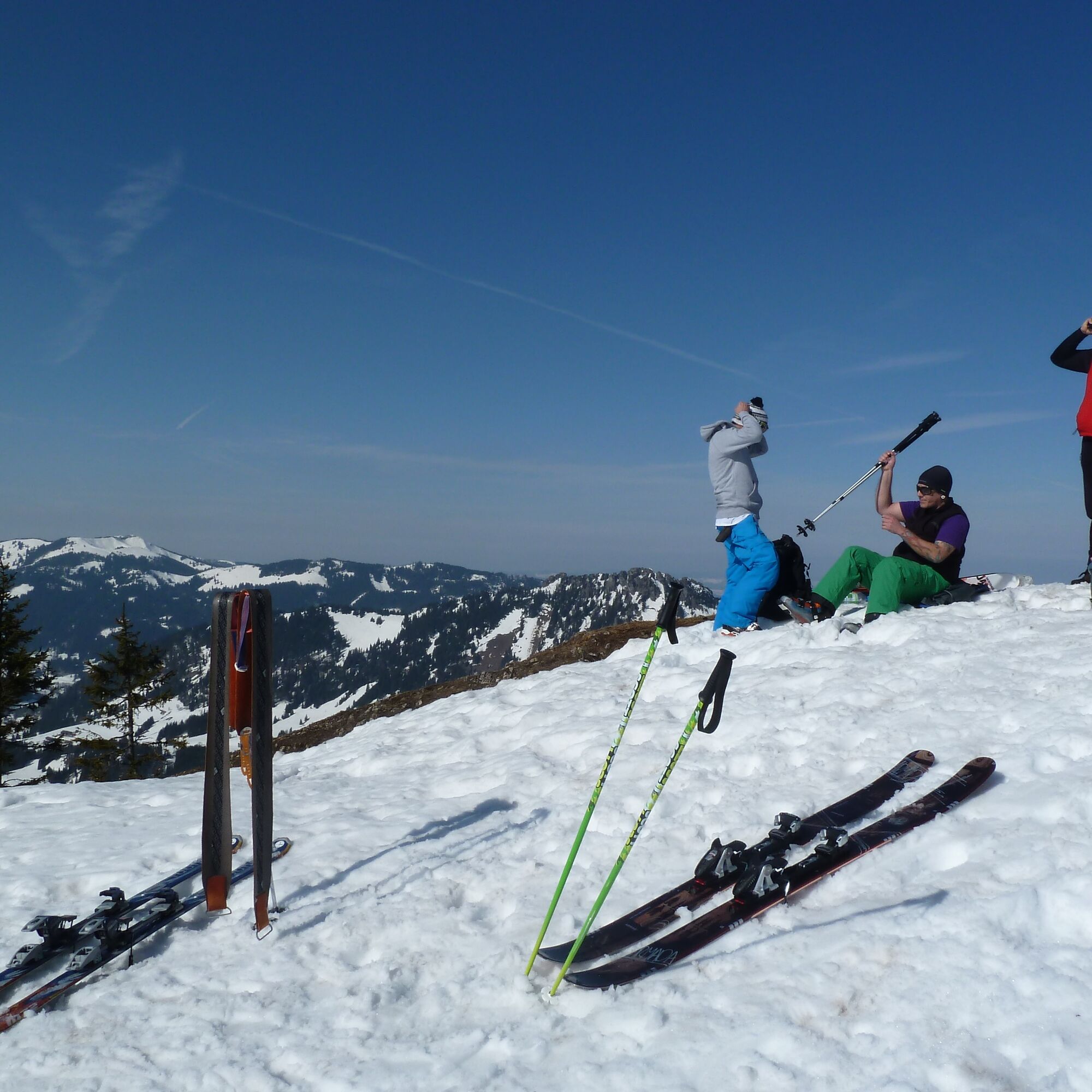
Ski touring equipment with avalanche transceiver, shovel and probe, mobile phone, possibly crampons
Take the avalanche report into account! You can find the current avalanche report at www.alpenverein.de
Parking on the right-hand side, about 1 km before the national border
The tour is published by the German Alpine Association. Use of the information is at your own risk.www.alpenverein.de
The tour is published by the German Alpine Association. Use of the information is at your own risk.www.alpenverein.de
Webbkameror för rundturen
Populära turer i närområdet
-
4,3
Höllschlucht hike » Water & Forest
MediumVandring 7,38 km -
4,2
Three-lake route (awarded the Tyrolean Hiking Trail Seal of Quality)
MediumVandring 14,8 km -
4,6
3-Seen Rundtour Vilsalpsee / Schrecksee / Traualpsee
MediumVandring 17,1 km -
4,4
Wanderung auf den grünten
MediumVandring 8,31 km -
4,8
3-Gipfel-Tour
MediumVandring 11,2 km -
4,5
Mountain hike to the Aggenstein
tungVandring 15,3 km -
4,0
Från Tannheim till Sulzspitze
MediumVandring 15,6 km -
4,8
Around Weißensee
ljusVandring 6,12 km -
5,0
Hiking tour to Breitenberg
tungVandring 15,6 km -
5,0
Gemeinde Grän, Tirol/Österreich Aggenstein Rundtour über Höhenweg
MediumVandring 9,84 km
Vandring och spårning


Missa inte erbjudanden och inspiration inför nästa semester
Din e-postadress har lagts till på e-postlistan.