


Stadtprozelten: Hase - Circular route 1


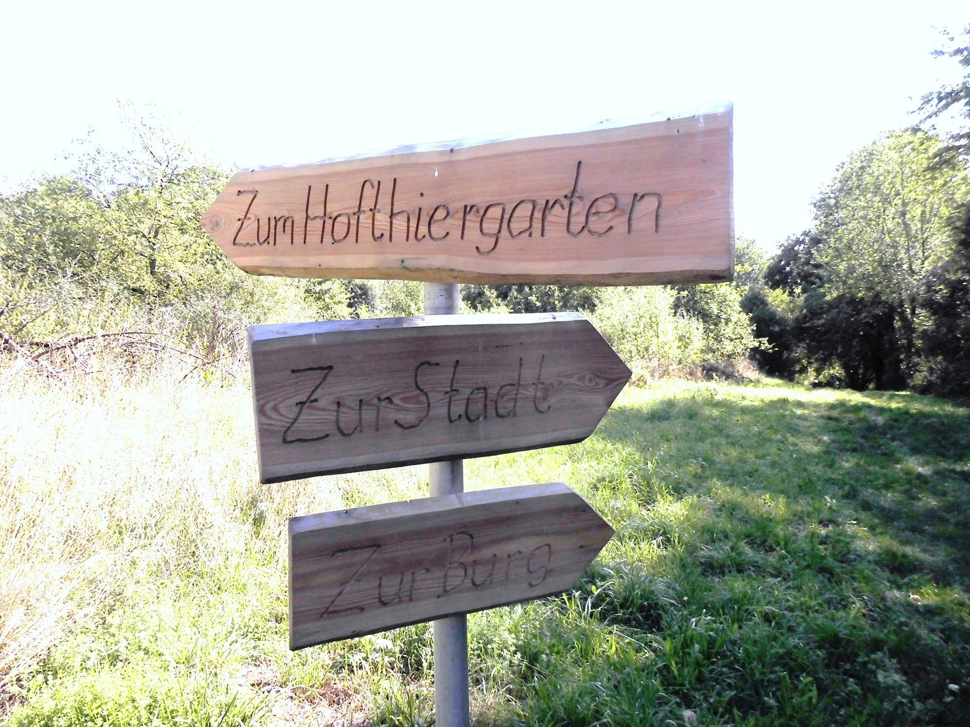
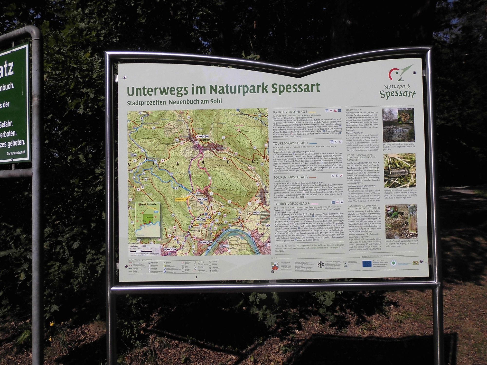
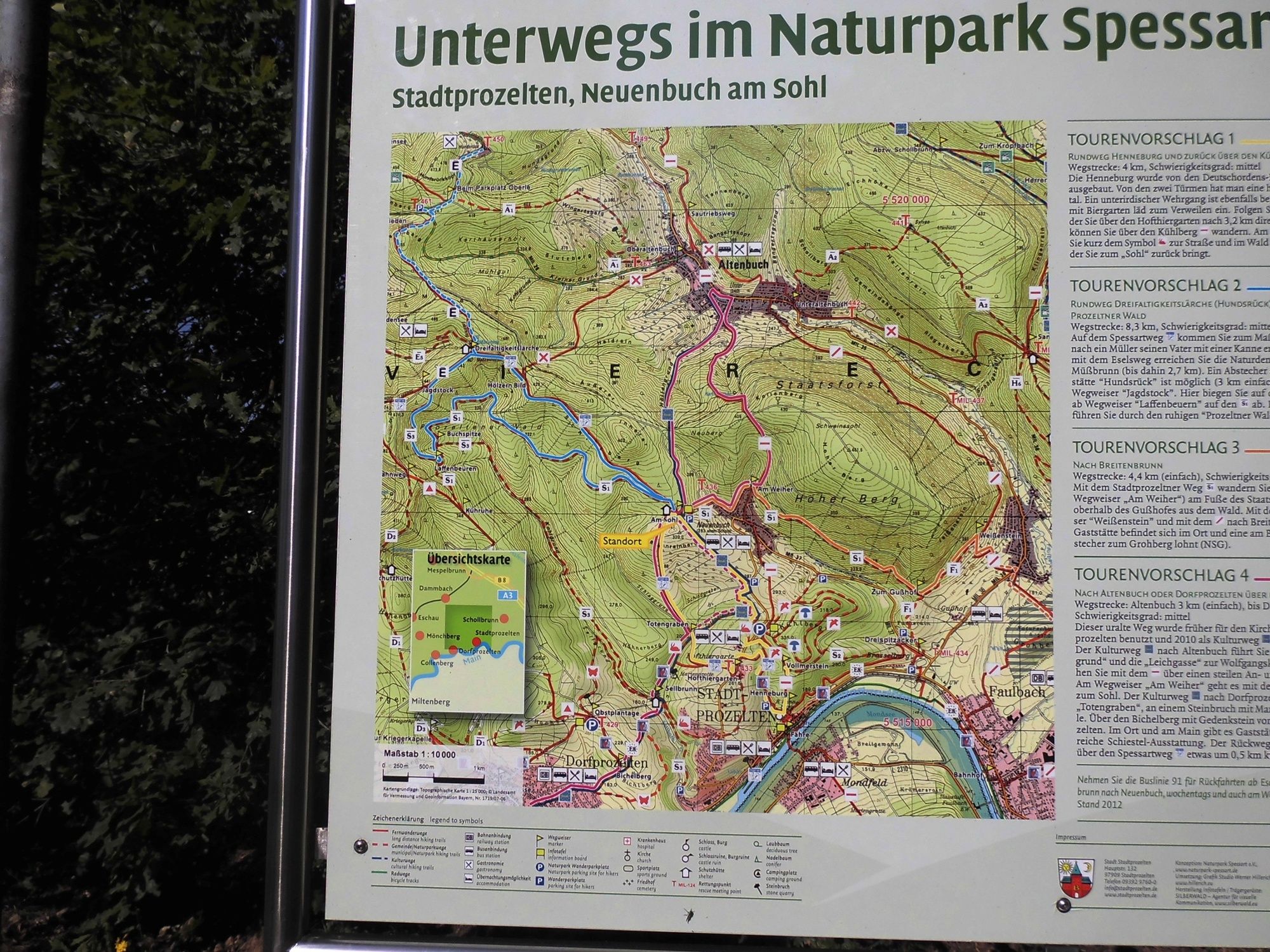

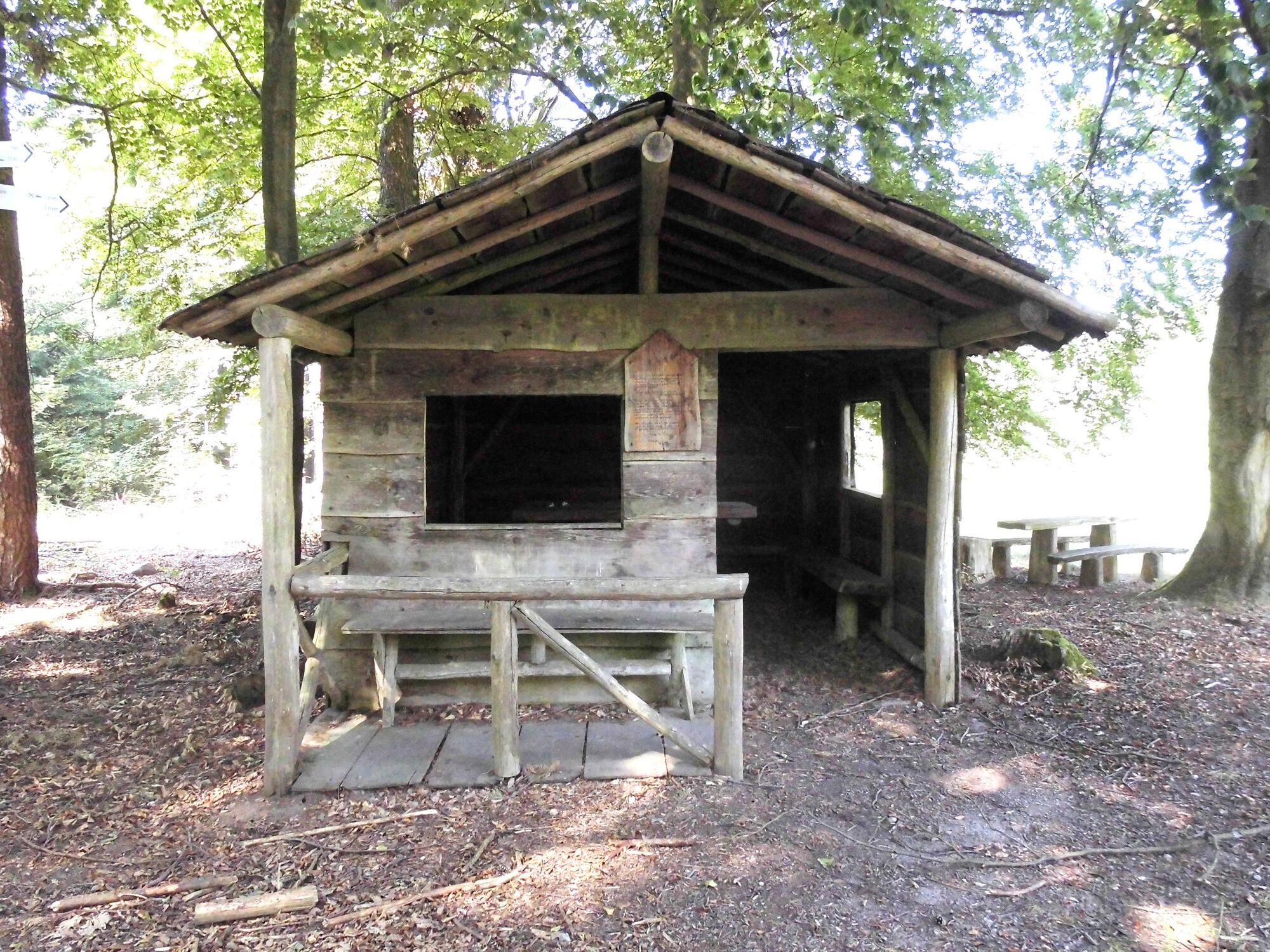

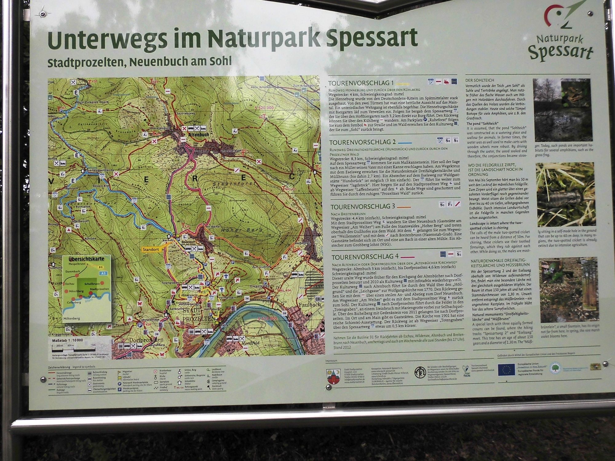

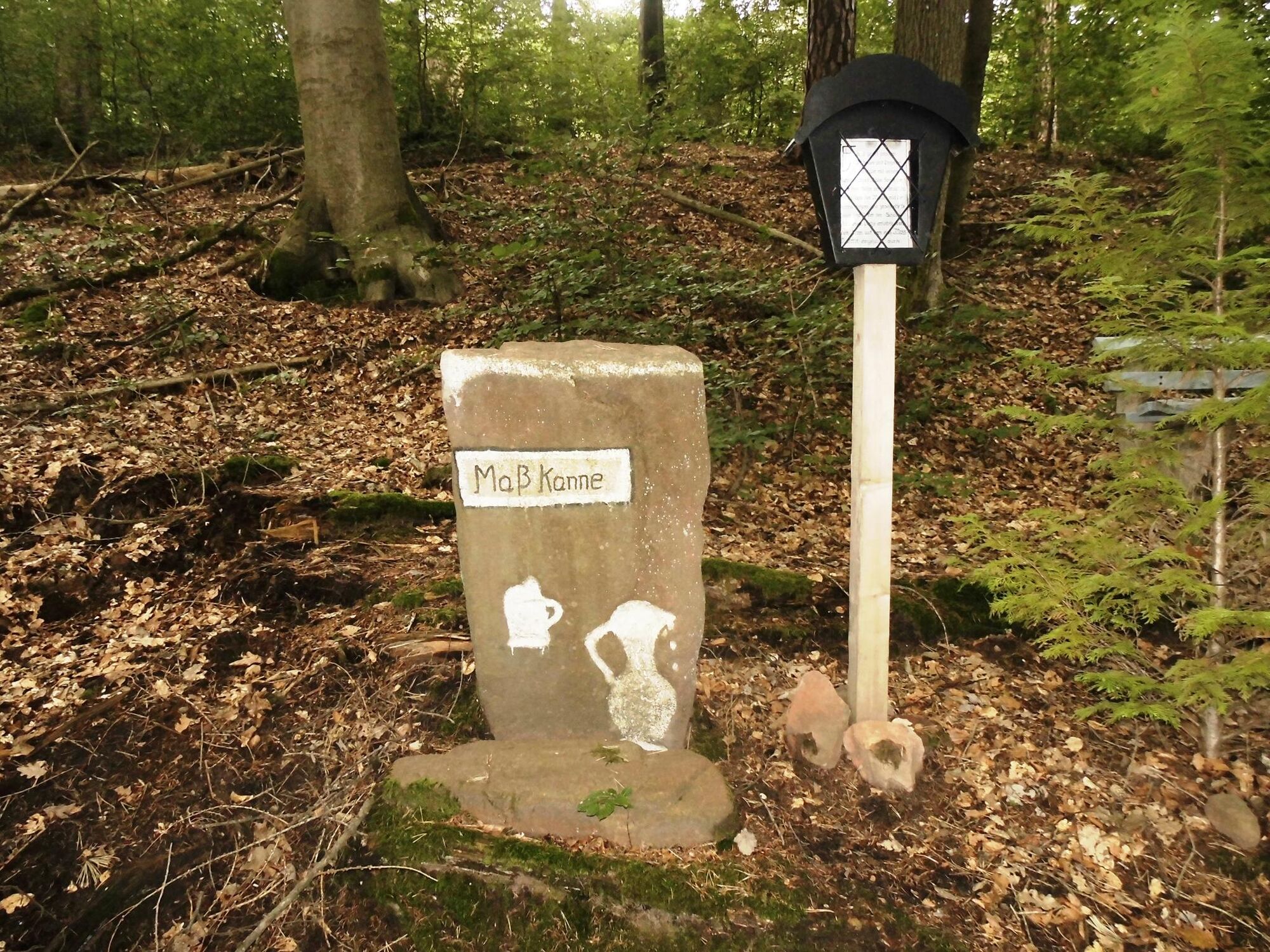
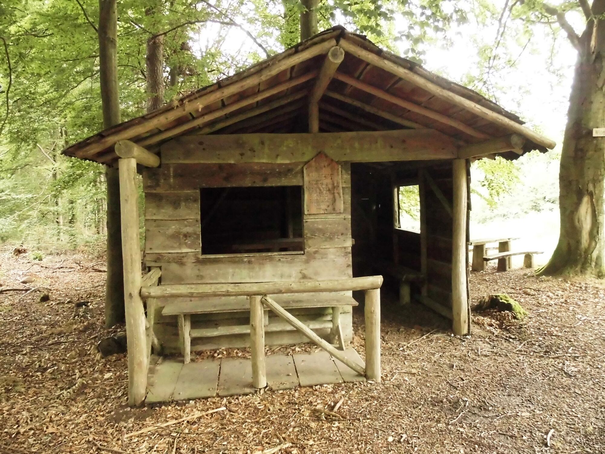
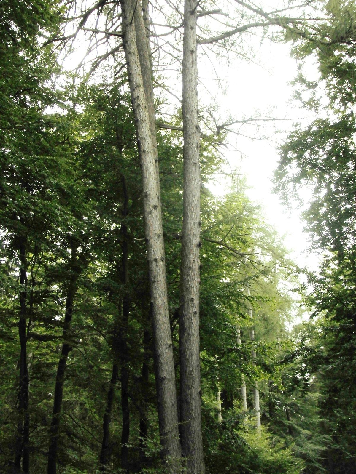
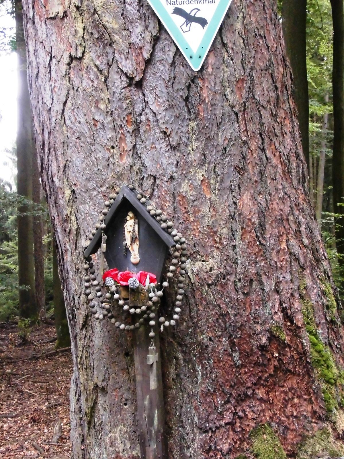
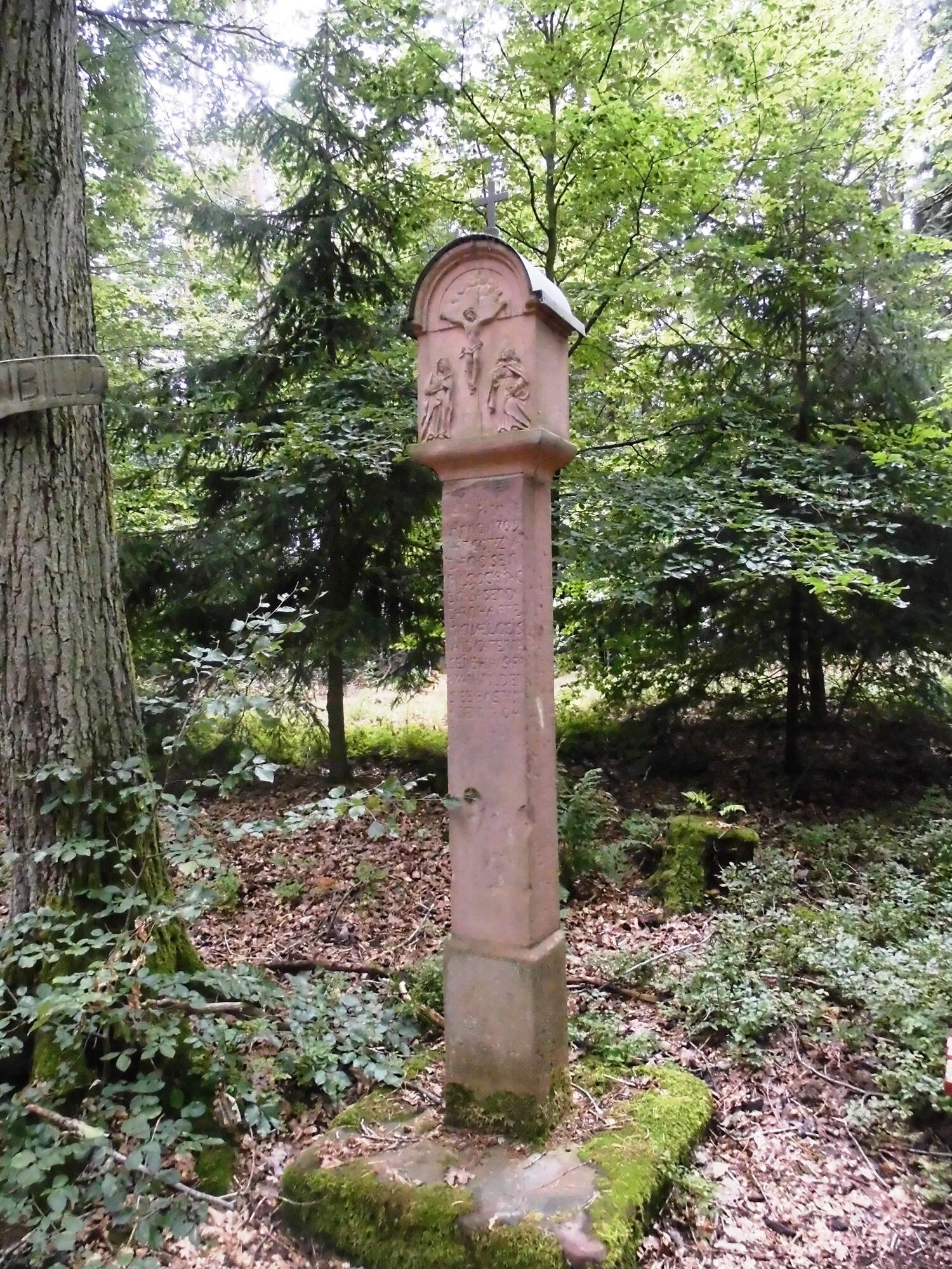
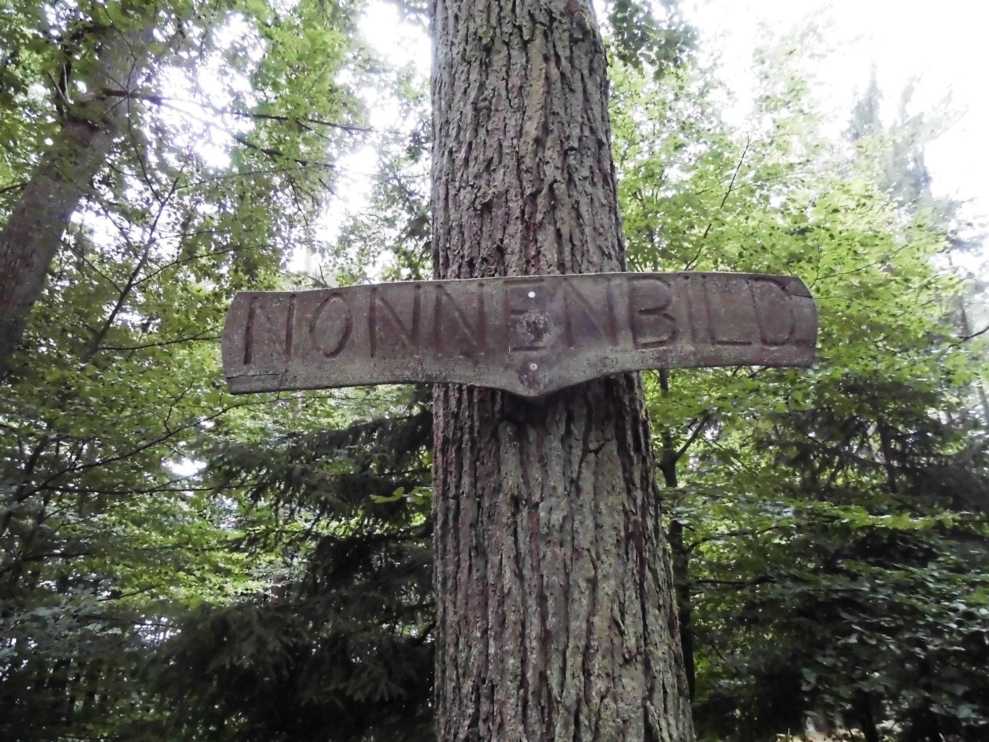

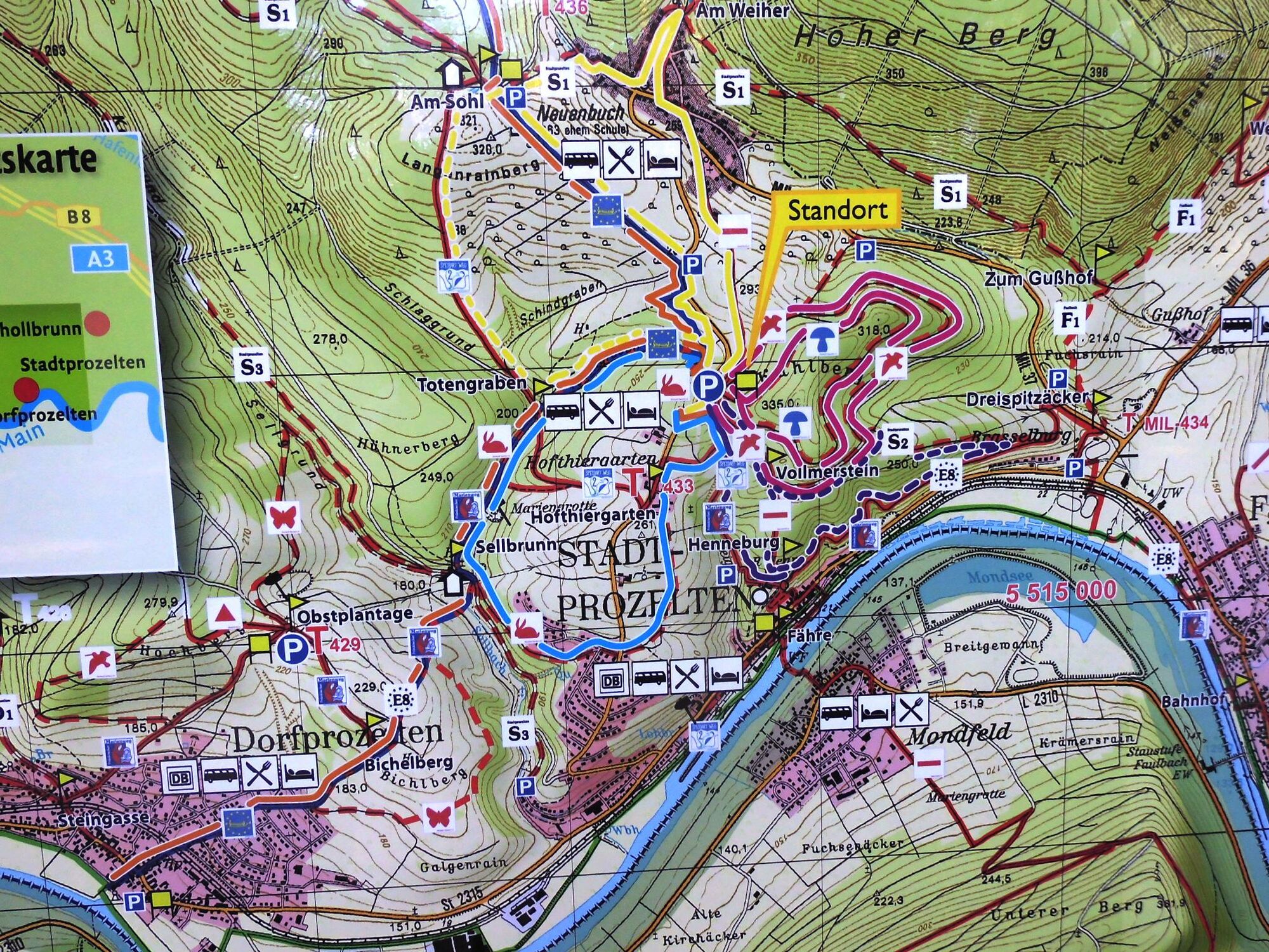
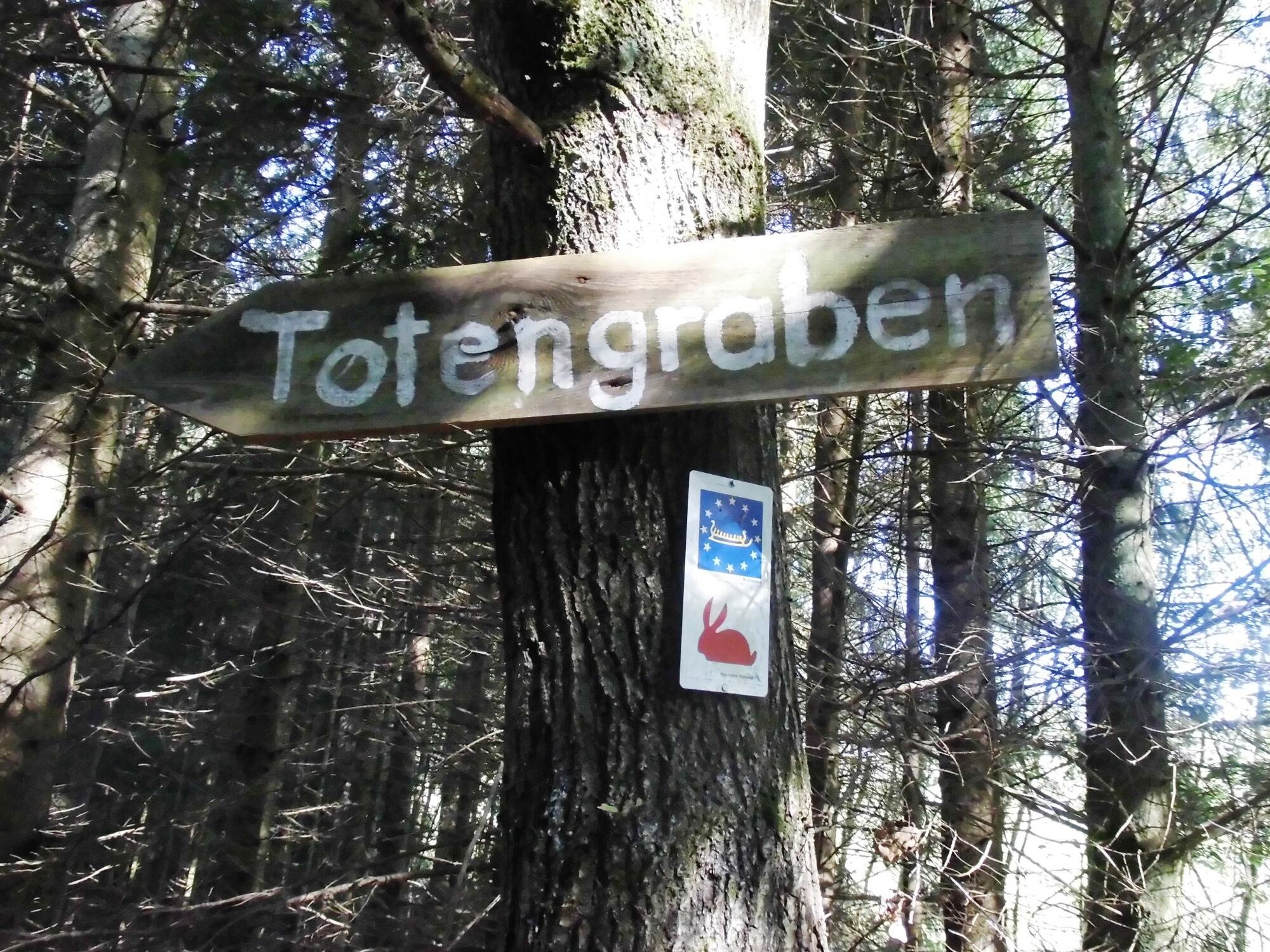
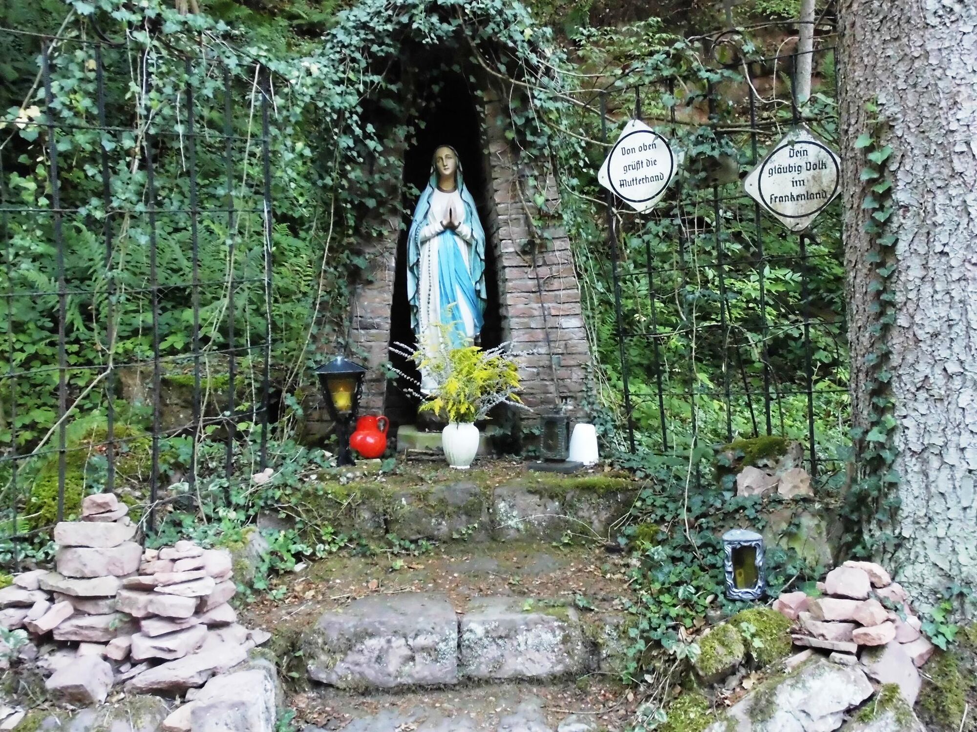
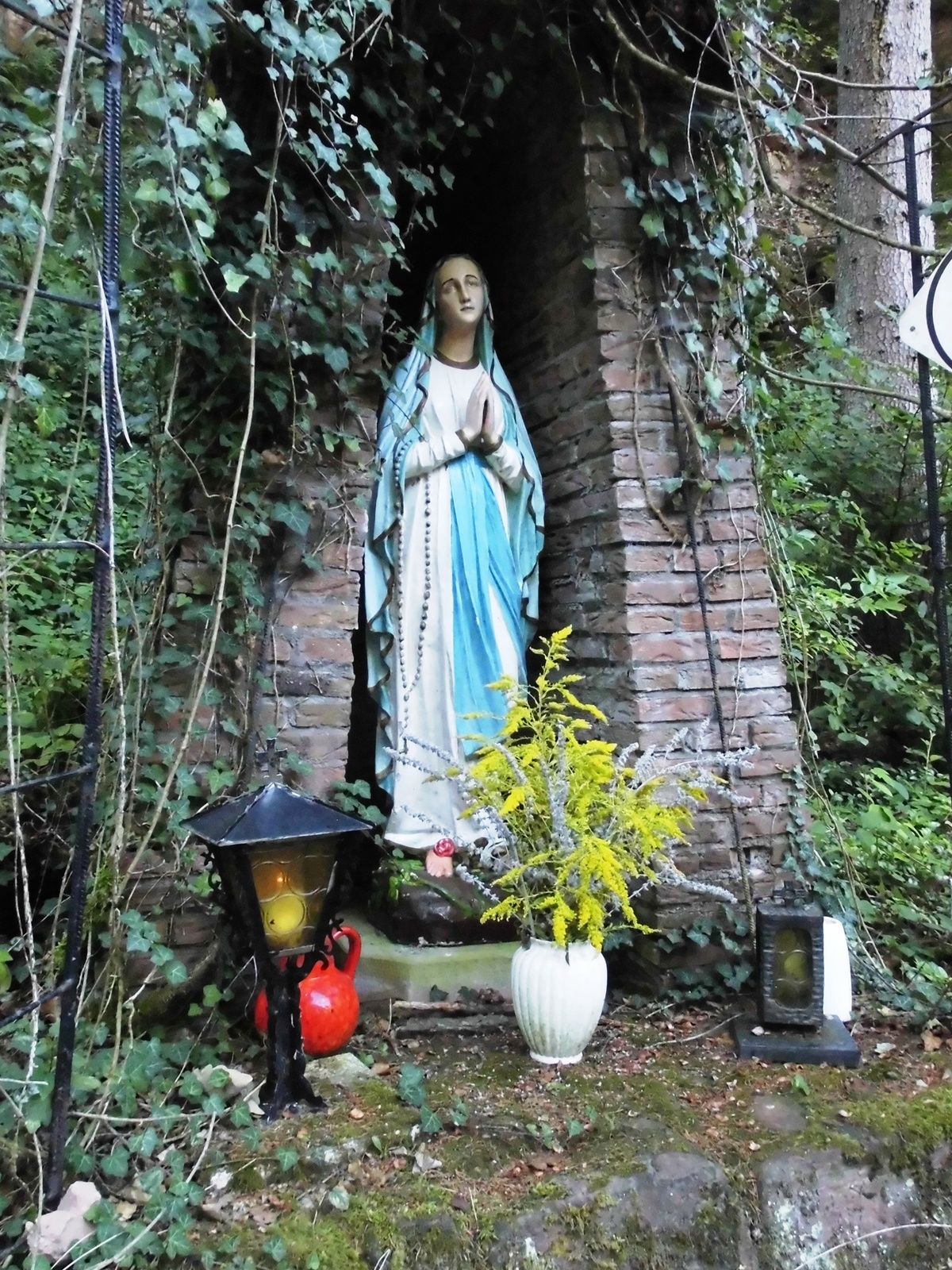
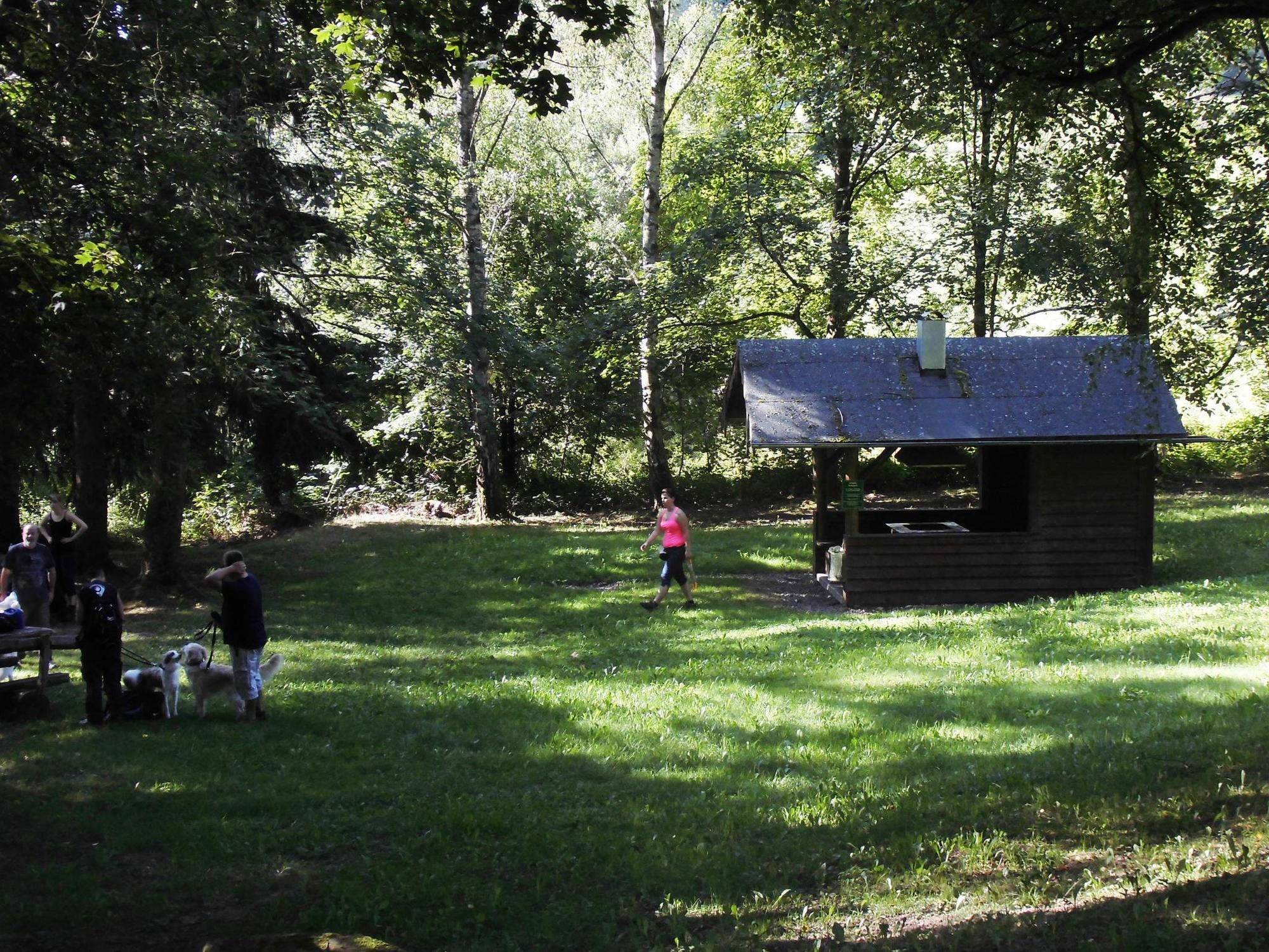
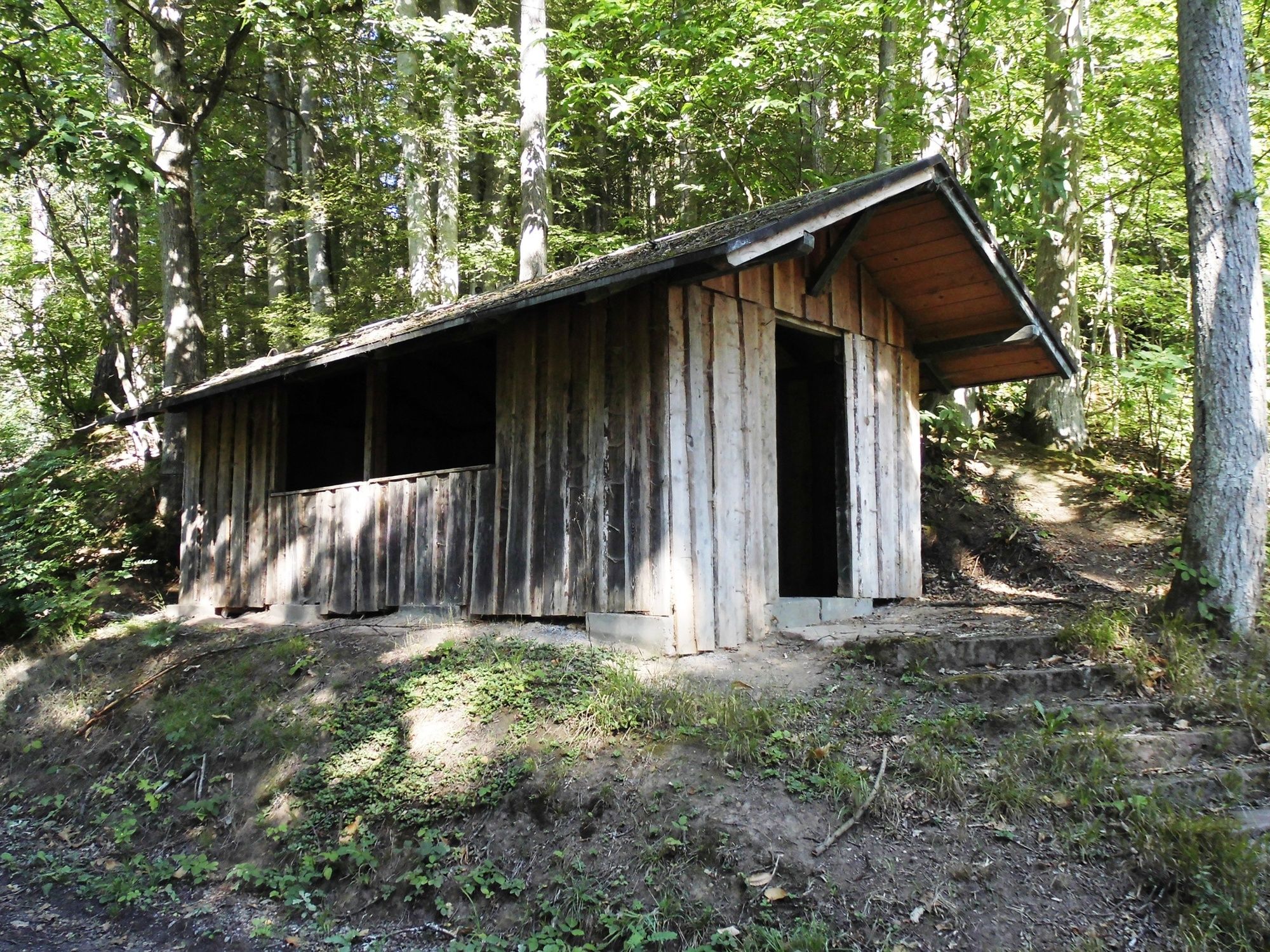
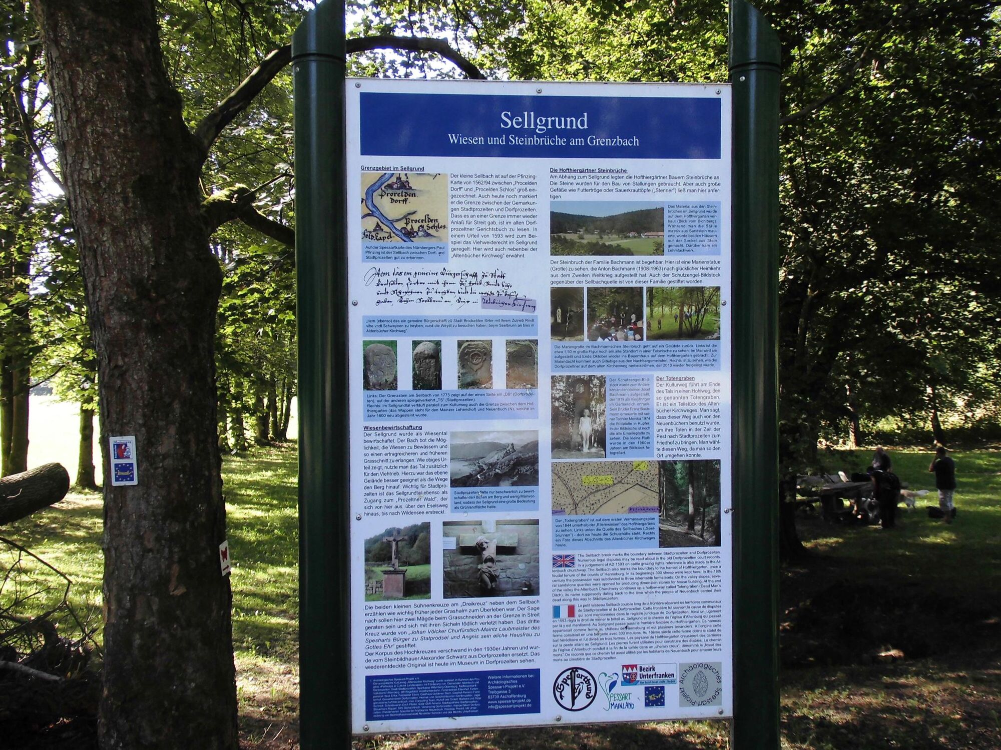
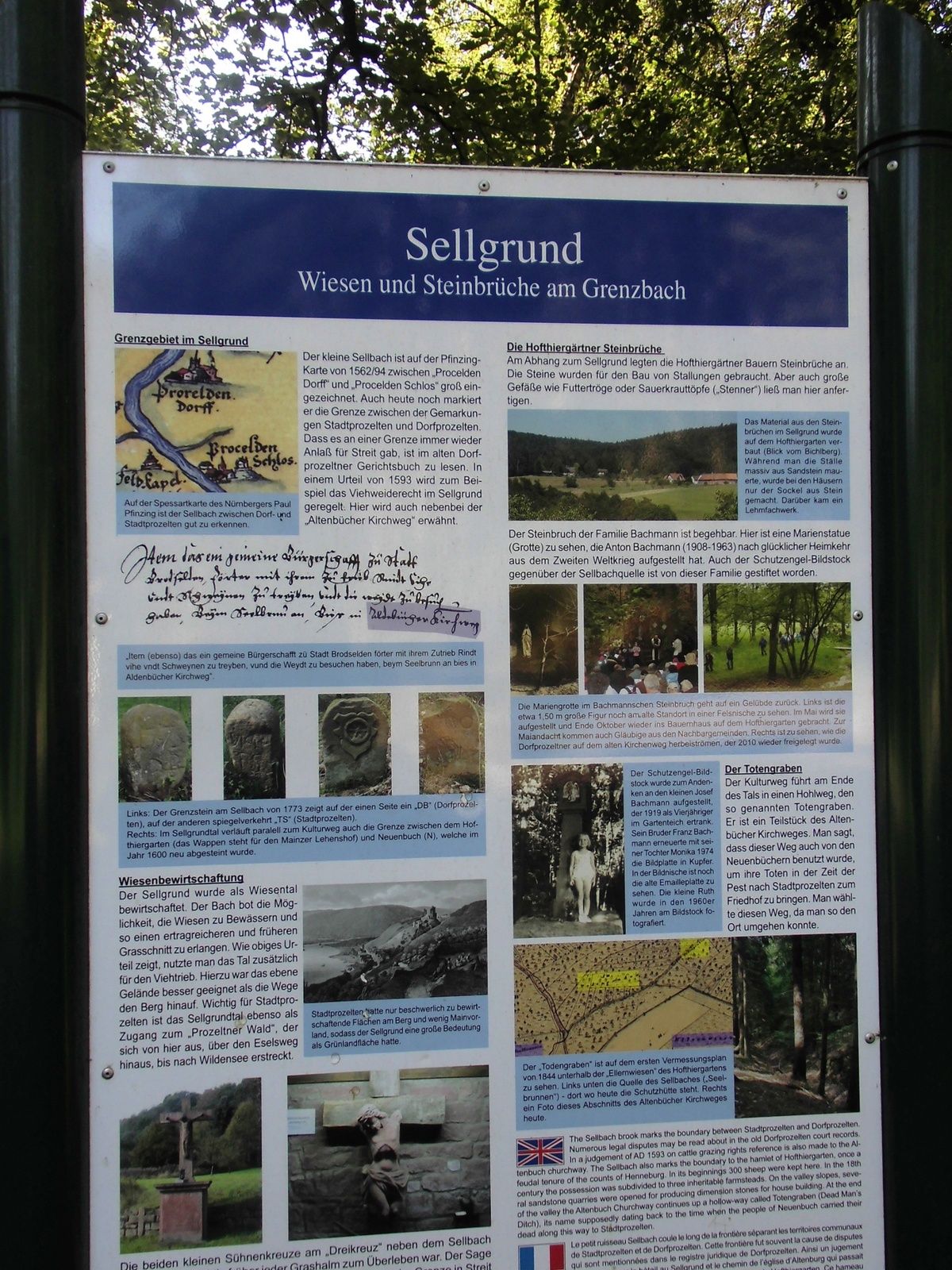


Starting from the information board of the Spessart Nature Park at the Ruheforst parking lot, the path continues immediately after crossing the local connecting road Stadtprozelten–Neuenbuch to the right, until after a small clearing the "Altenbucher Kirchweg" branches off with our path to the left through the "Totengraben." After crossing the Totengraben, we reach a signpost "Totengraben" and the path continues towards Dorfprozelten. At this point, we also cross the "Spessartweg 2" and after about 700 meters reach the Sellbrunn signpost with the rest and barbecue area "Sellgrund," which is also the lowest point of our hike. Then continue about 100 meters together with S3 to the left, where we then turn left again, always slightly uphill towards a playground, which we see to the right of the path after leaving the forest. Now we walk briefly between houses until we reach the local connecting road Stadtprozelten - Neuenbuch, which is crossed directly to continue to Hofthiergarten. On this section of the path, there is a wide view over the Main valley and backwards towards the Odenwald with Boxtal and part of the fields of Rauenberg. In Hofthiergarten, there is currently only a place to refresh yourself on weekends. Upon reaching the Hofthiergarten signpost, we turn right and go together with Spessartweg 2, the Franconian Mary’s Way, and the European long-distance trail 8 on the paved road uphill about 150 meters until the path turns right again and leads through a cattle pasture. We stay here until the next fork in the path and then leave the path to the left back to our starting point.
From Wertheim direction, go to the 2nd roundabout and take the 2nd exit to Neuenbuch, in the village turn left towards Hofthiergarten. In the forest passage, turn left to the Ruheforst parking lot.
From Miltenberg direction, after the cemetery, turn left over the "Kleine Steige" through Hofthiergarten further to the forest and then turn right to the Ruheforst parking lot.
By train from the direction of Miltenberg or Wertheim to the "Stadtprozelten" station. From here, the Transport Association of the Bavarian Lower Main (VAB) also operates buses to Hofthiergarten; continue on foot along the local connecting road to the "Ruheforst" parking lot.
At the "Ruheforst" parking lot
Populära turer i närområdet
-
5,0
LT 6 Water.Wine.Vastness.
MediumVandring 10,7 km -
5,0
Dorfprozelten: Kollenburg-Chapel-Route
MediumVandring 11,8 km -
South Spessart Trail
tungLångdistans vandringsled 60,8 km -
Franconian Mary’s Way in the southern Spessart
MediumLångdistans vandringsled 25,6 km -
Buntsandsteinweg Etappe 1 - Miltenberg
ljusVandring 4,65 km -
Stadtprozelten: Nature and Stone Monuments - Circular Route 2
MediumVandring 11,5 km -
LT 2 Romantic Wildbachtal
tungVandring 16,8 km -
Hiking trail Faulbach-A
MediumVandring 9,27 km -
Bildstockweg Faulbach - Breitenbrunn
ljusVandring 6,01 km -
LT-M1 - On the Trail of the Cistercians
MediumVandring 10,4 km
Vandring och spårning


Missa inte erbjudanden och inspiration inför nästa semester
Din e-postadress har lagts till på e-postlistan.