Panorama route to the Ostlerhütte
Foton av våra användare
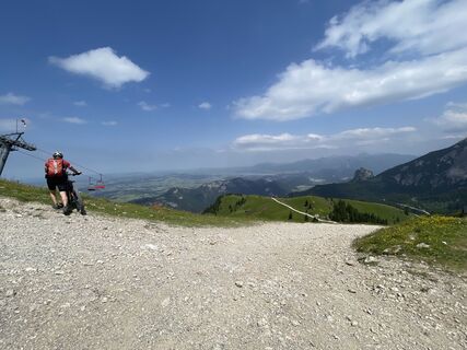
The route starts at the mountain station of the Breitenbergbahn (if you like, you can comfortably cover additional altitude with the "Hochalpbahn" chairlift). You go uphill over gravel paths through the...
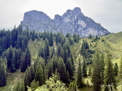
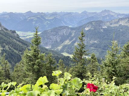
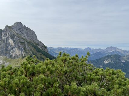
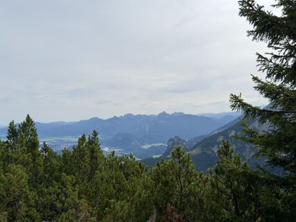
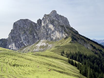
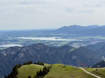
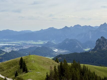
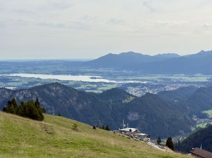
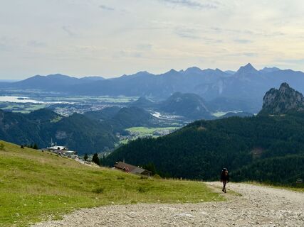
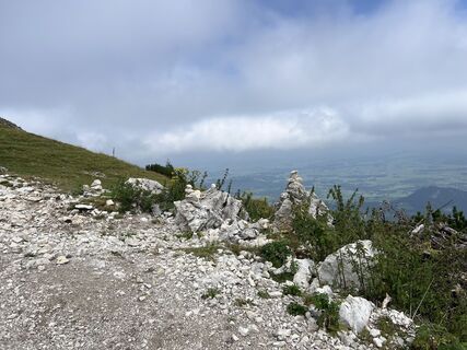
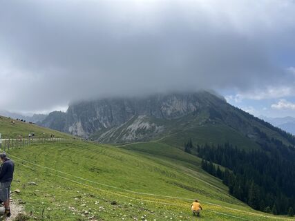
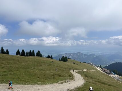
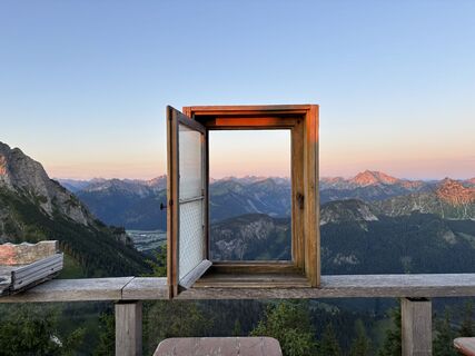
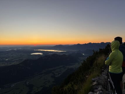
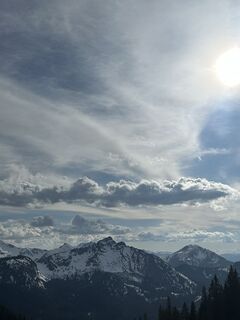
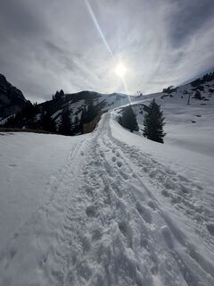
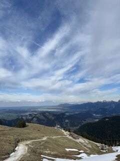
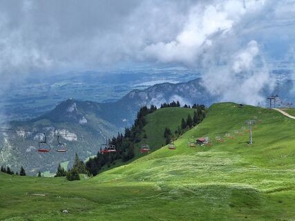
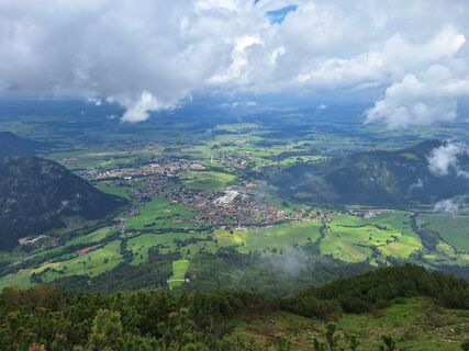
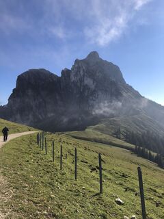
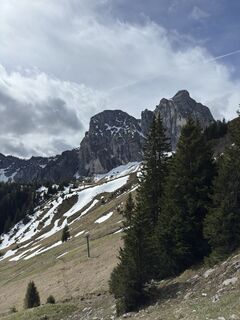
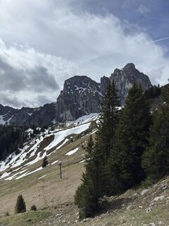
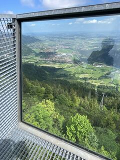
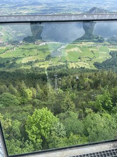
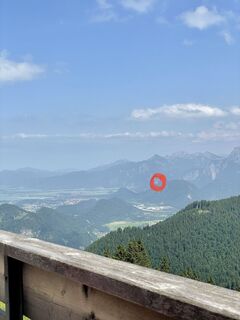
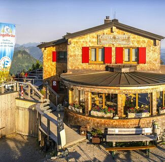
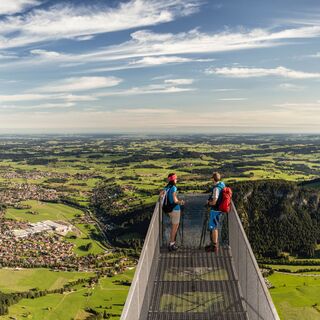
The route starts at the mountain station of the Breitenbergbahn (if you like, you can comfortably cover additional altitude with the "Hochalpbahn" chairlift). You go uphill over gravel paths through the high plateau on the Breitenberg to the mountain station of the chairlift. Upon arrival, the path turns right towards the Ostlerhütte. Follow the path for another 800 meters to the summit of the Breitenberg. Once at the top, a detour to the summit cross with a small viewing platform is worthwhile. Just a few meters away is the popular Ostlerhütte - with a great 360-degree panorama of the Allgäu and Tyrolean Alps as well as the vast Alpine foothills.
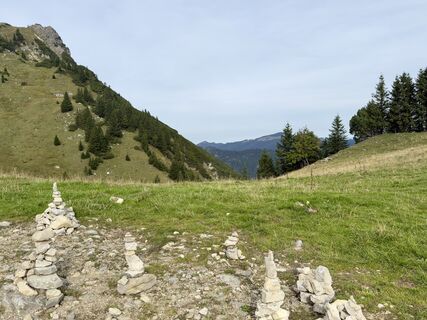
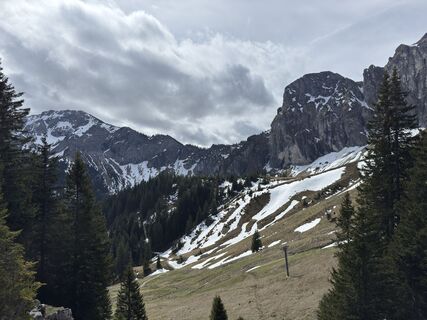
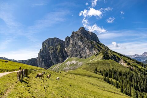
After the stop at the Ostlerhütte, the path leads you back down to the mountain station of the Hochalpbahn. Passing the chairlift, follow the signposting of the "Juwelenweg". The Juwelenweg is a wonderful adventure trail with various activity stations for children. Even if the interactive play stations don’t interest you much, you will surely be amazed by the fantastic landscape. At the end of the path is the Hochalphütte.



Ja
Ja
Ja
Ja
The Pfronten-Steinach train station is located directly at the valley station of the Breitenbergbahn.
There are parking spaces available at the Breitenbergbahn.
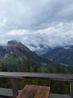
The Ostlerhütte is located directly on the summit of the Breitenberg. A visit to the wonderful sun terrace is well worth it. Another place to stop for refreshments is the Hochalphütte at the end of the route.
Populära turer i närområdet
Missa inte erbjudanden och inspiration inför nästa semester
Din e-postadress har lagts till på e-postlistan.


