


alpannonia - Regional route Markt Neuhodis - Hirschenstein


Starting from the municipality of Markt Neuhodis with its distinctive Wallner Schaumühle, we hike to Althodis with its exceptional filial church "zur Kreuzerhöhung". Then we continue via the treetop walk,...
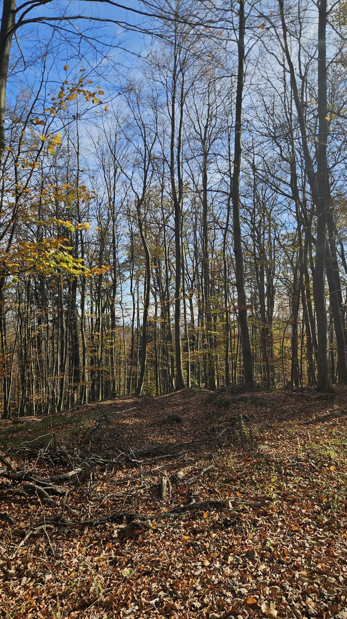
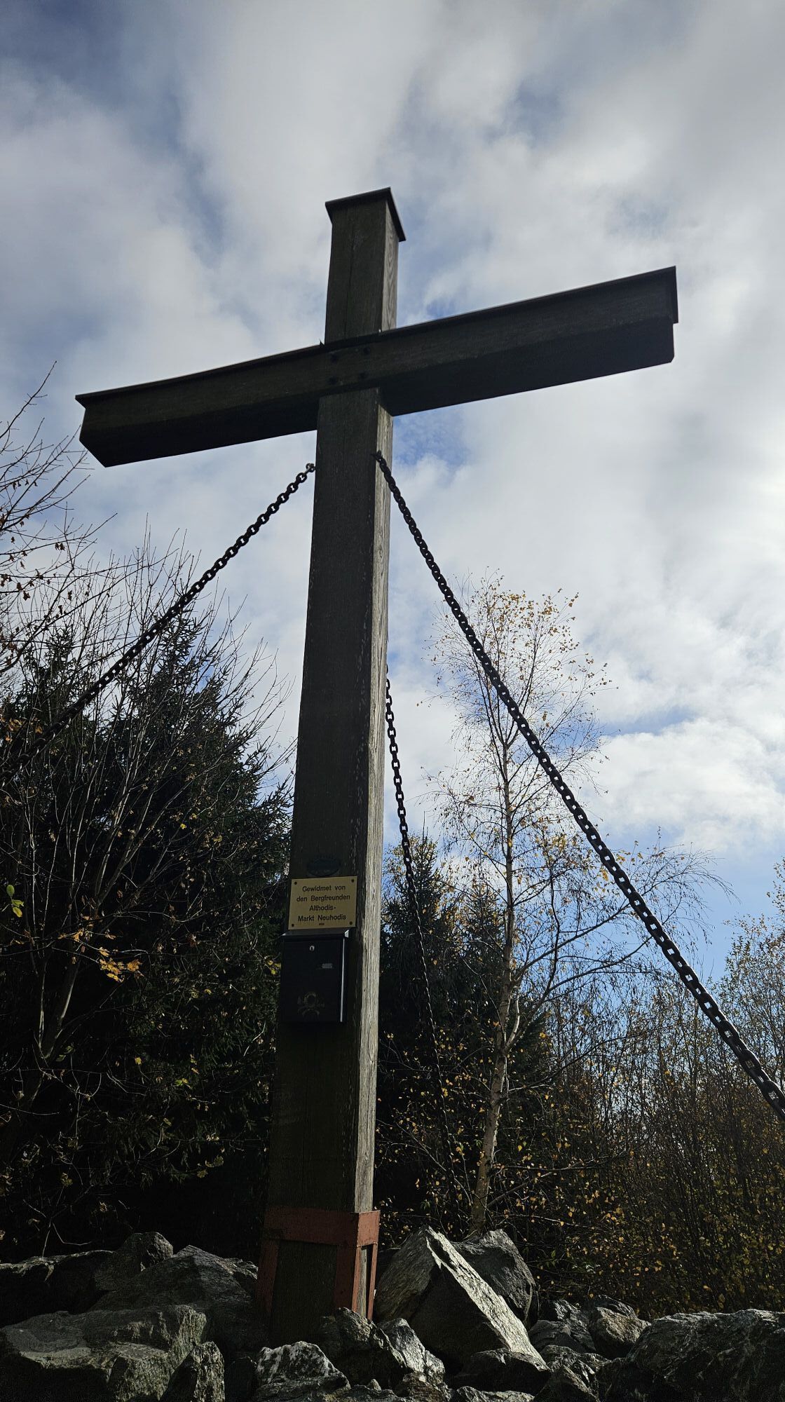
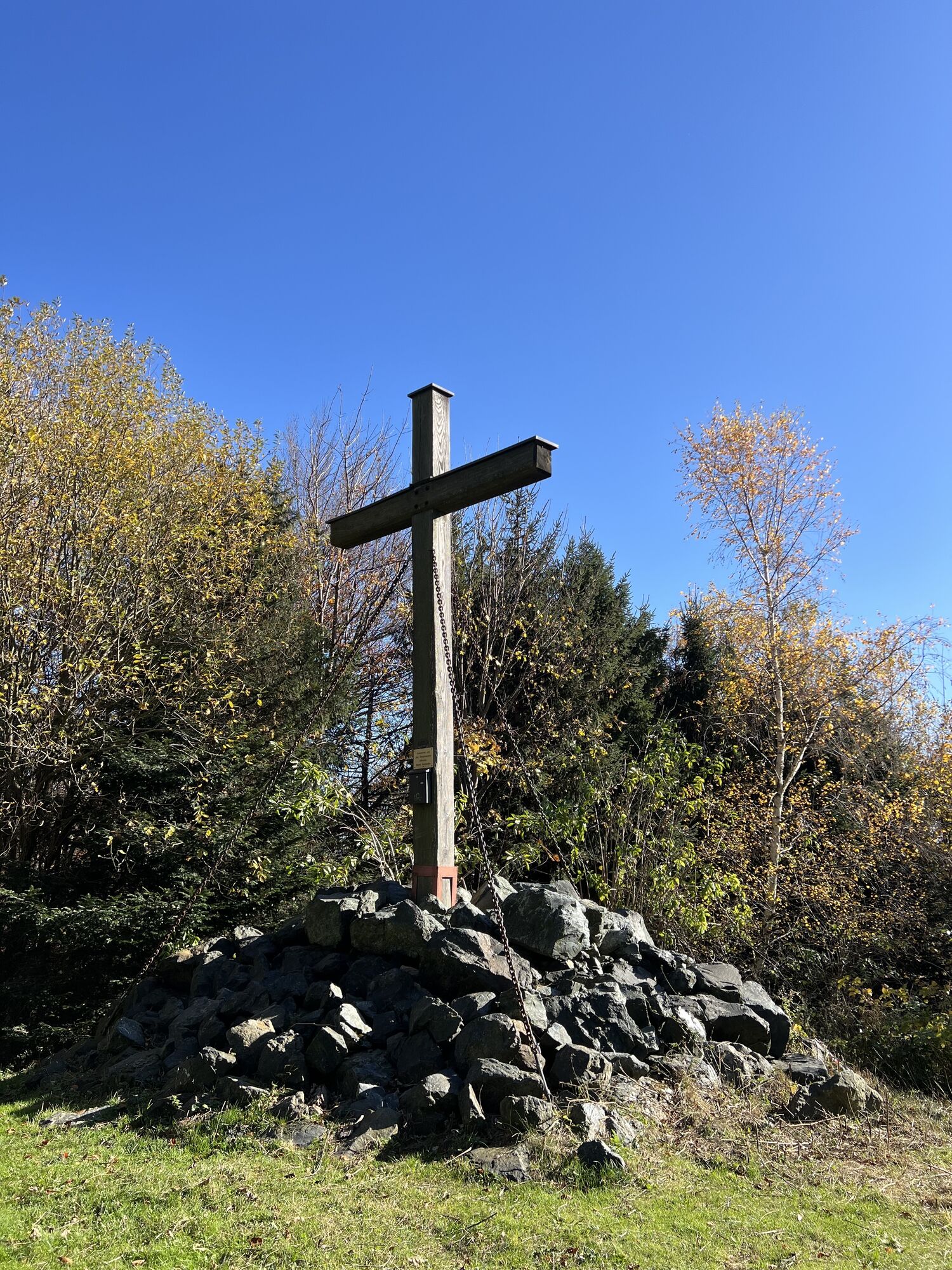
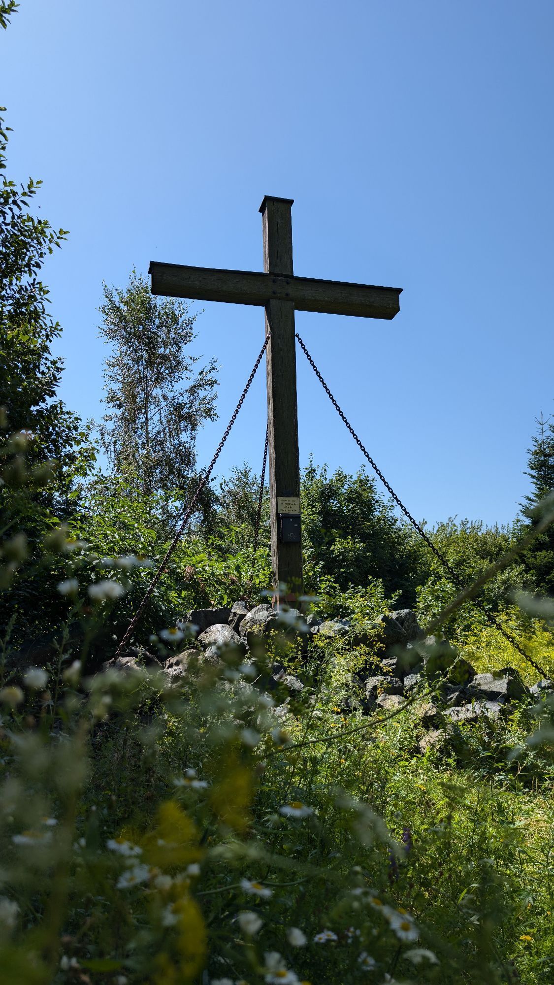
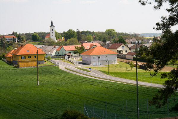
Starting from the municipality of Markt Neuhodis with its distinctive Wallner Schaumühle, we hike to Althodis with its exceptional filial church "zur Kreuzerhöhung". Then we continue via the treetop walk, which gives us an insight into life at soaring heights. At the Hirschenstein transmission tower, we reach the alpannonia main trail and the summit cross of the Great Hirschenstein.
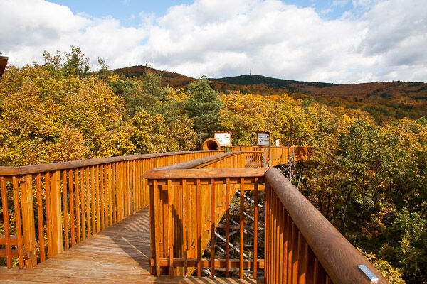
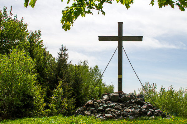
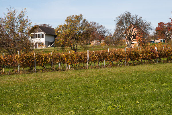
We start in Markt Neuhodis from the Schaumühle or the Inn Glavanics towards Weiden bei Rechnitz and turn right to the vineyard after about 500 meters at a chapel. At a fork a few meters further on, keeping left, we pass several info boards about the origin and life of butterflies until we reach Althodis. Crossing the village, we turn right at the exceptional church and continuously ascend along the paved road up to a fork. Taking the left option, we branch off after a few meters to a field path on the left. Following the next crossing path to the right, we turn left into the dense forest after a tree nursery and circle around the treetop walk. In front of the entrance area, generous seating invites you to rest before we set out towards the access road and parking lot. From there, we follow a forest path up to the Hirschenstein, where the prominently visible transmission tower points us to the main trail. Once at the top we stand next to the transmission mast as well as the summit cross of the Hirschenstein.
Ja
Ja
Hiking equipment: sturdy footwear and protective clothing
Don't forget provisions!
Markt Neuhodis accessible by bus connection from Oberwart
Parking available at Inn Glavanics/ Schaumühle Wallner
Parking lot Treetop walk
www.alpannonia.at (new homepage from 3/19)
Schaumühle Wallner, Markt Neuhodis
Inn Glavanics, Markt Neuhodis
Butterfly nature trail
Church in Althodis
Forest inn Althodis
Treetop walk
Populära turer i närområdet
-
4,3
Railway track bike path
MediumCykling 41,6 km -
4,7
S21 Friedensrundweg
ljusVandring 11,4 km -
Südburgenländischer Bahntrassen-Radweg
ljusCykling 67 km -
4,2
Summit hiking route
tungVandring 20,6 km -
2,7
Günser Gebirge: Rechnitz - Geschriebenstein
ljusVandring 7,71 km -
4,0
See, Vogelparadies & Ödes Schloss Rechnitz
ljusVandring 7,09 km -
5,0
Geschriebenstein Roas
tungVandring 55,3 km -
4,0
Geschriebenstein
ljusVandring 3,90 km -
2,8
Rundweg (3) Pinkadurchbruch - Wandern in der Weinidylle
MediumVandring 11,2 km -
5,0
Wandern in der Weinidylle: Rundweg (2) Eisenberg
ljusVandring 4,34 km
Vandring och spårning


Missa inte erbjudanden och inspiration inför nästa semester
Din e-postadress har lagts till på e-postlistan.