


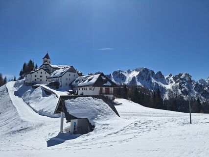
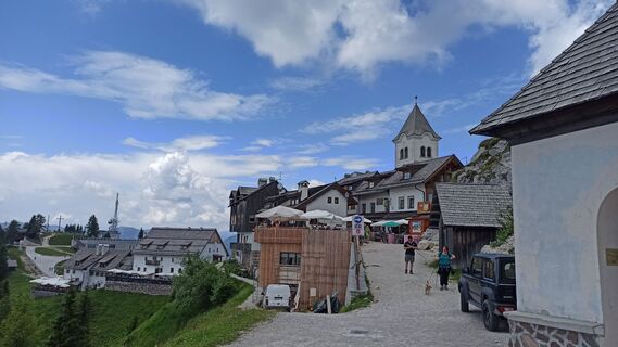
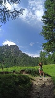
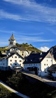
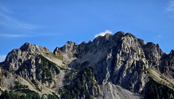
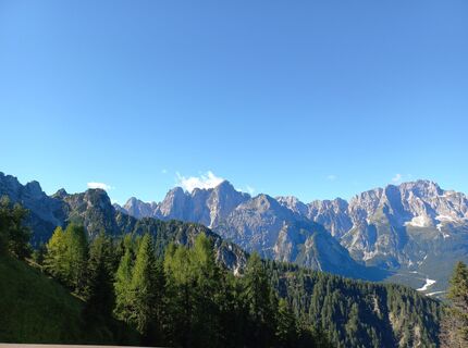
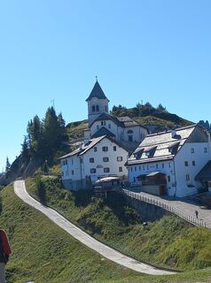
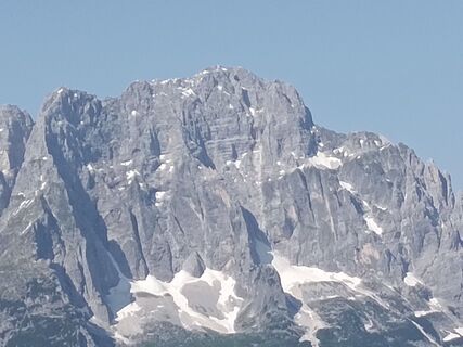
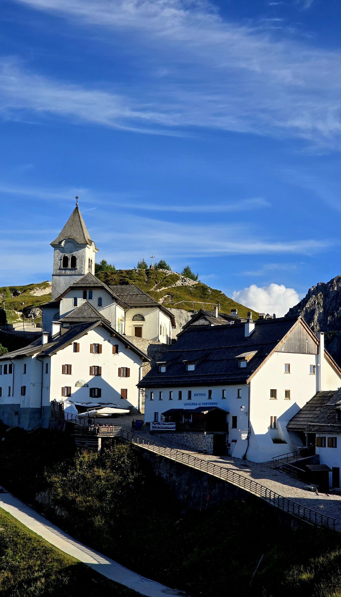
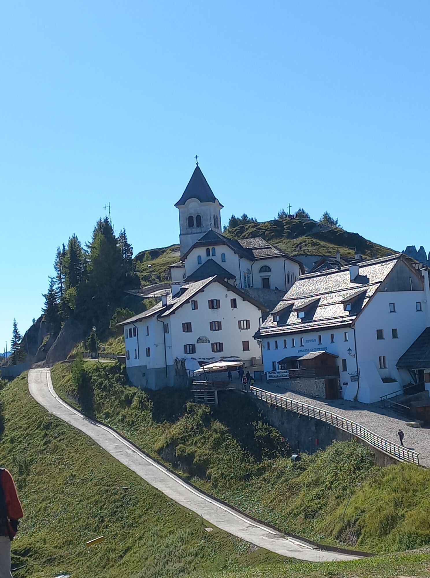
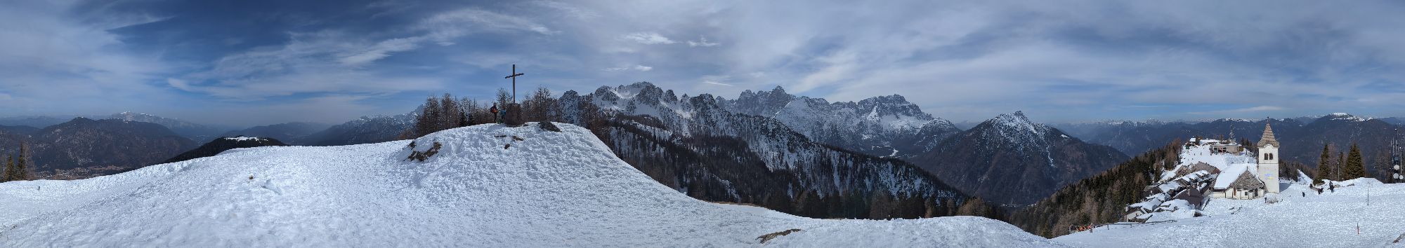
Monte Lussari


Foton av våra användare
-

 © Josef MiklSkapad på 29.12.2023
 -
 © Josef MiklSkapad på 29.12.2023
 -

 © NicoSkapad på 28.12.2024
 -
 © Robert.UnterlercherSkapad på 19.02.2022
 -
 © Robert.UnterlercherSkapad på 19.02.2022
 -
 © Robert.UnterlercherSkapad på 19.02.2022
 -
 © Patrick FresenbergerSkapad på 07.04.2025
 -
 © Patrick FresenbergerSkapad på 07.04.2025
 -
 © Patrick FresenbergerSkapad på 07.04.2025
 -
 © Josef MiklSkapad på 29.12.2023
 -
 © Josef MiklSkapad på 29.12.2023
 -
 © Josef MiklSkapad på 29.12.2023
 -
 © Josef MiklSkapad på 29.12.2023
 -
 © pdalciSkapad på 08.07.2023
 -
 © pdalciSkapad på 08.07.2023
 -
 © nikelu8525Skapad på 14.01.2023
 -
 © Raftandroll HungarySkapad på 12.10.2025
 -
 © 〽️anni BSkapad på 06.09.2025
 -
 © 〽️anni BSkapad på 06.09.2025
 -
 © Josef MiklSkapad på 06.09.2025
 -
 © Christa GrailachSkapad på 31.08.2025
 -
 © Christa GrailachSkapad på 31.08.2025
 -
 © Rom RichardSkapad på 15.06.2025
 -
 © Reinhard PeterSkapad på 02.05.2025
 -
 © Reinhard PeterSkapad på 02.05.2025
 -
 © Reinhard PeterSkapad på 02.05.2025
 -
 © Reinhard PeterSkapad på 02.05.2025
 -
 © Reinhard PeterSkapad på 02.05.2025
 -
 © Reinhard PeterSkapad på 02.05.2025
 -
 © Reinhard PeterSkapad på 02.05.2025
 -

 © ScubaSkapad på 08.03.2025
 -
 © ScubaSkapad på 08.03.2025
 -
 © ScubaSkapad på 08.03.2025
 -

 © Gerardo BrunettiSkapad på 16.10.2024
 -

 © Davor PuklinSkapad på 18.02.2024

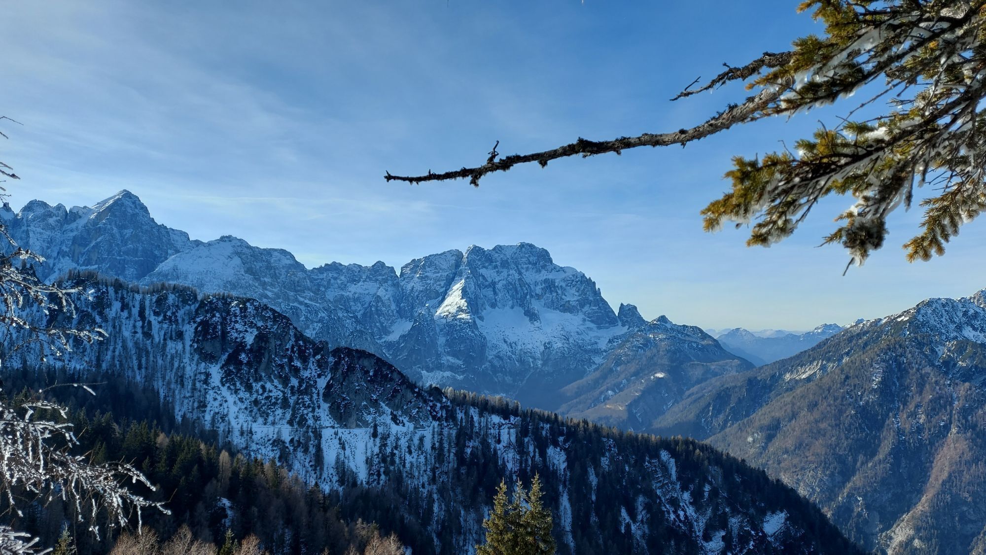


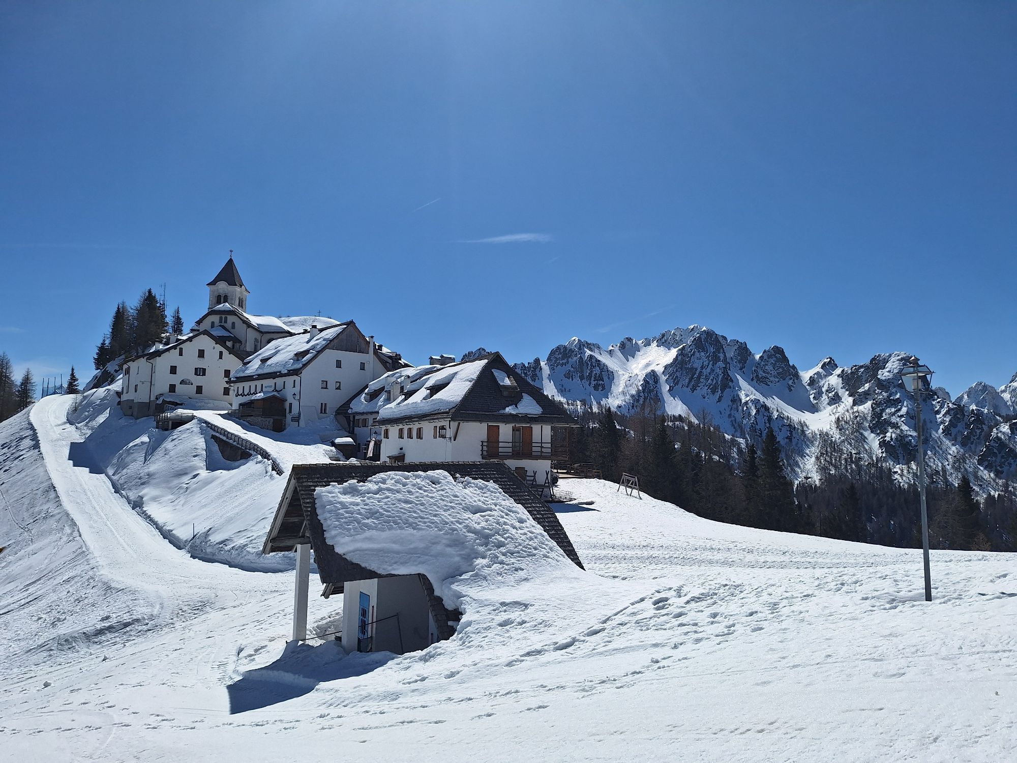


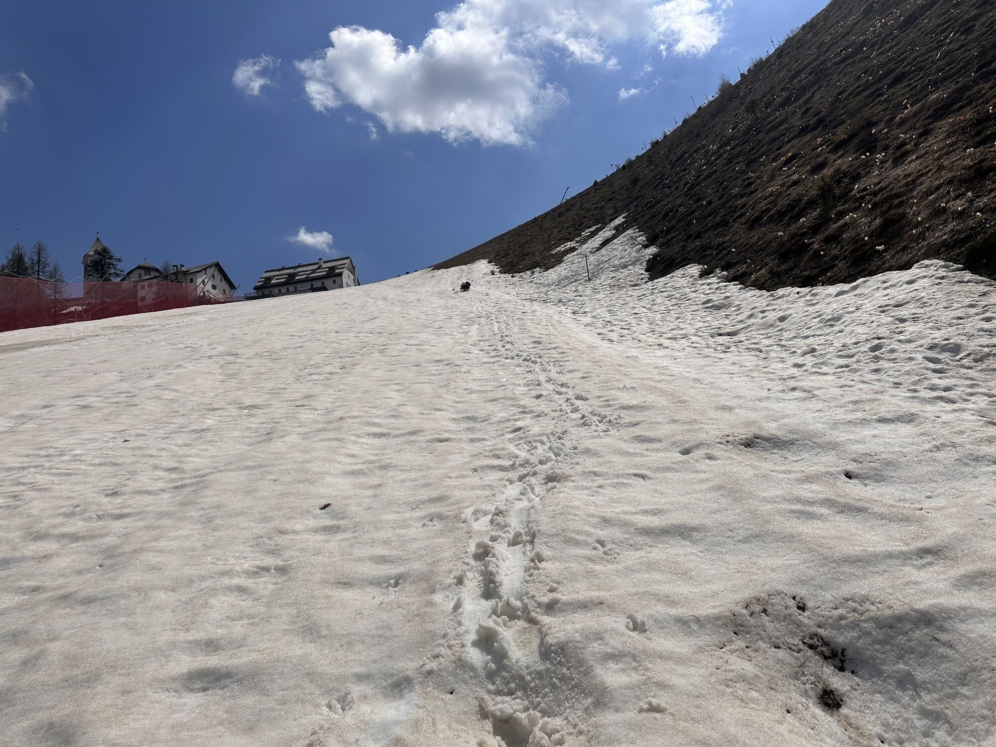


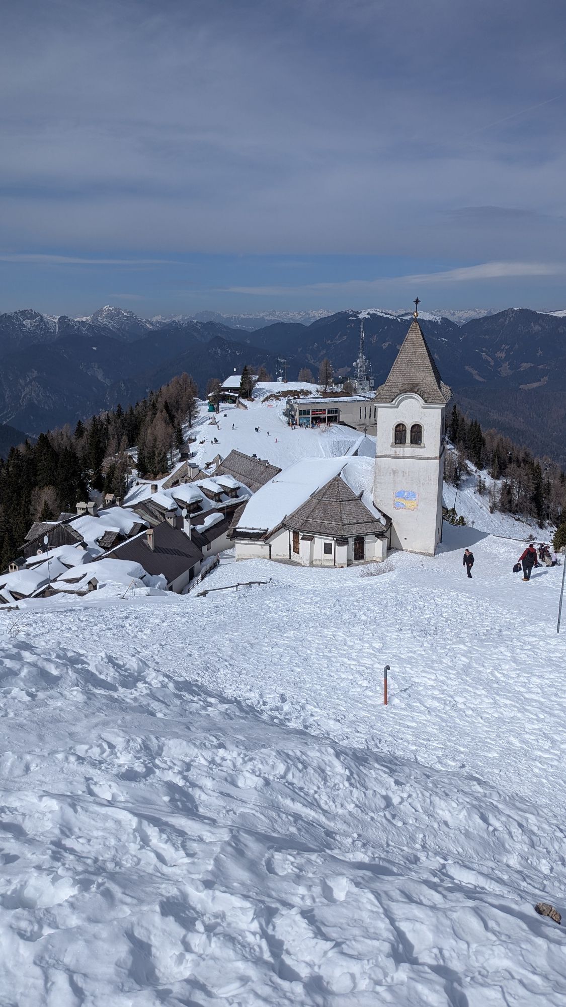
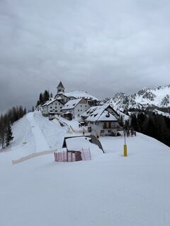
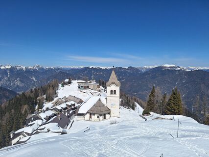
Classic and easy route, which is also possible in low snow conditions due to the descent along the ski slope. There is a small catch to the route: due to the narrow ascent path, it is hardly suitable as...
Classic and easy route, which is also possible in low snow conditions due to the descent along the ski slope. There is a small catch to the route: due to the narrow ascent path, it is hardly suitable as a descent option, so you basically have to walk this route back. However, the destination rewards any effort or hardship, and after all, you are on a pilgrimage route.

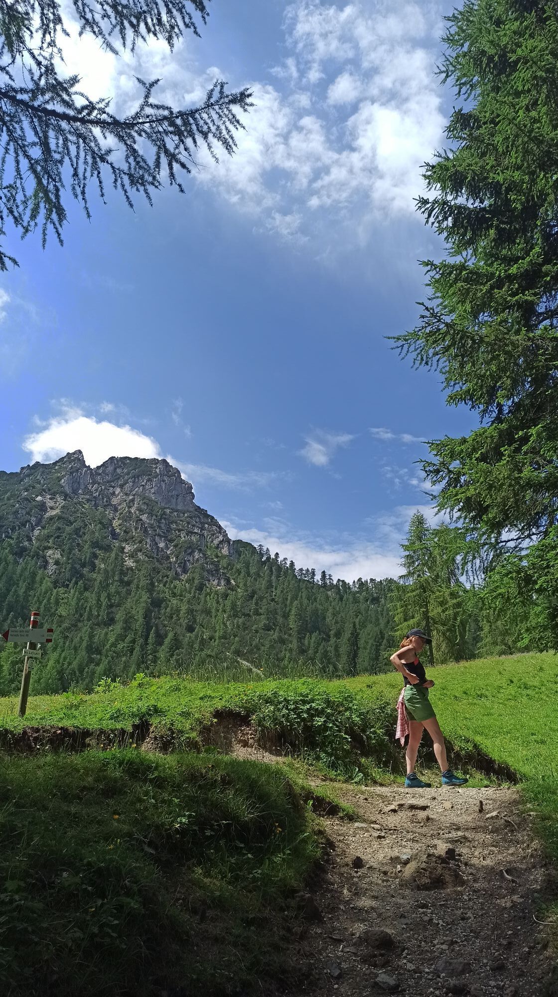
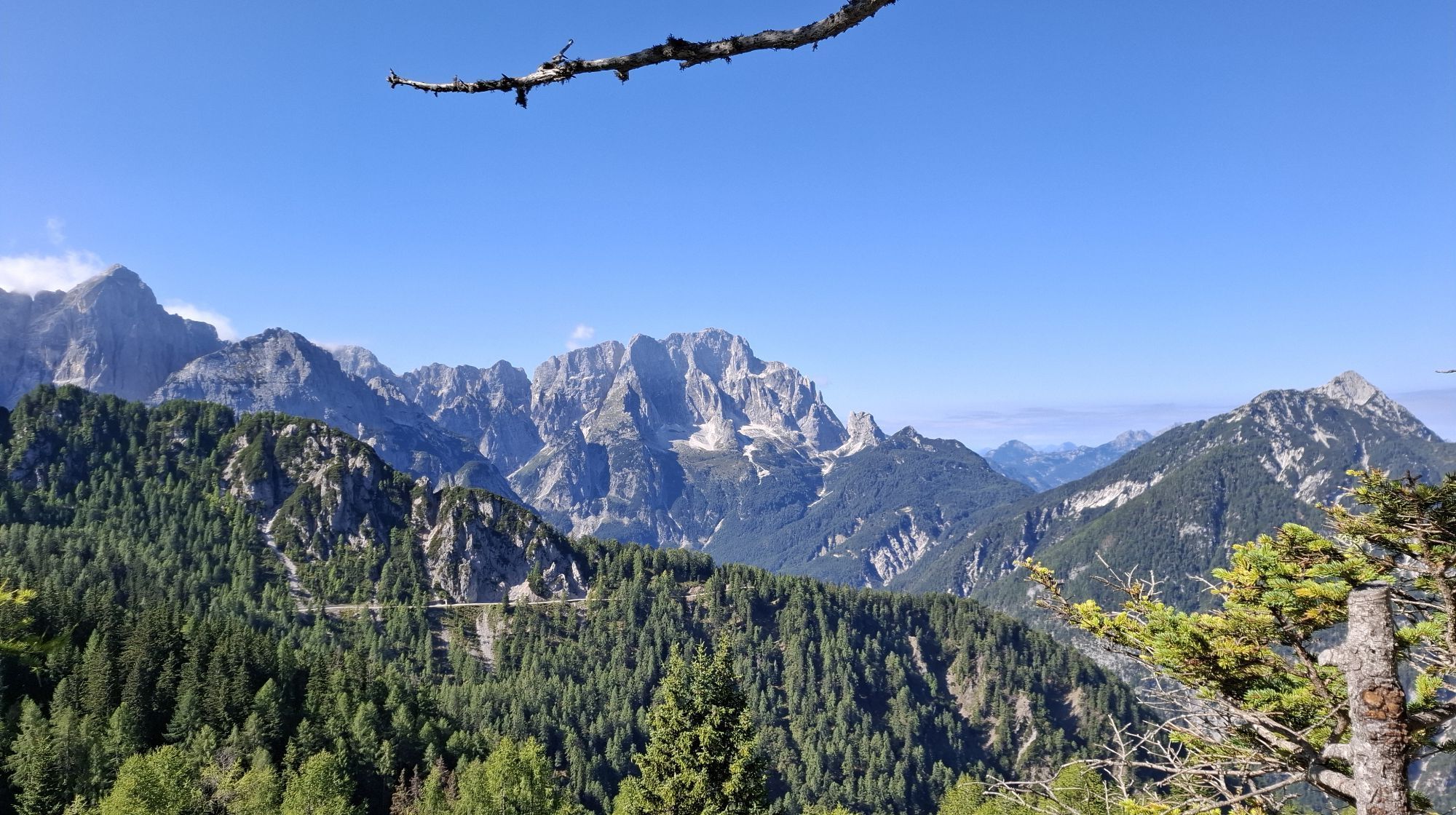
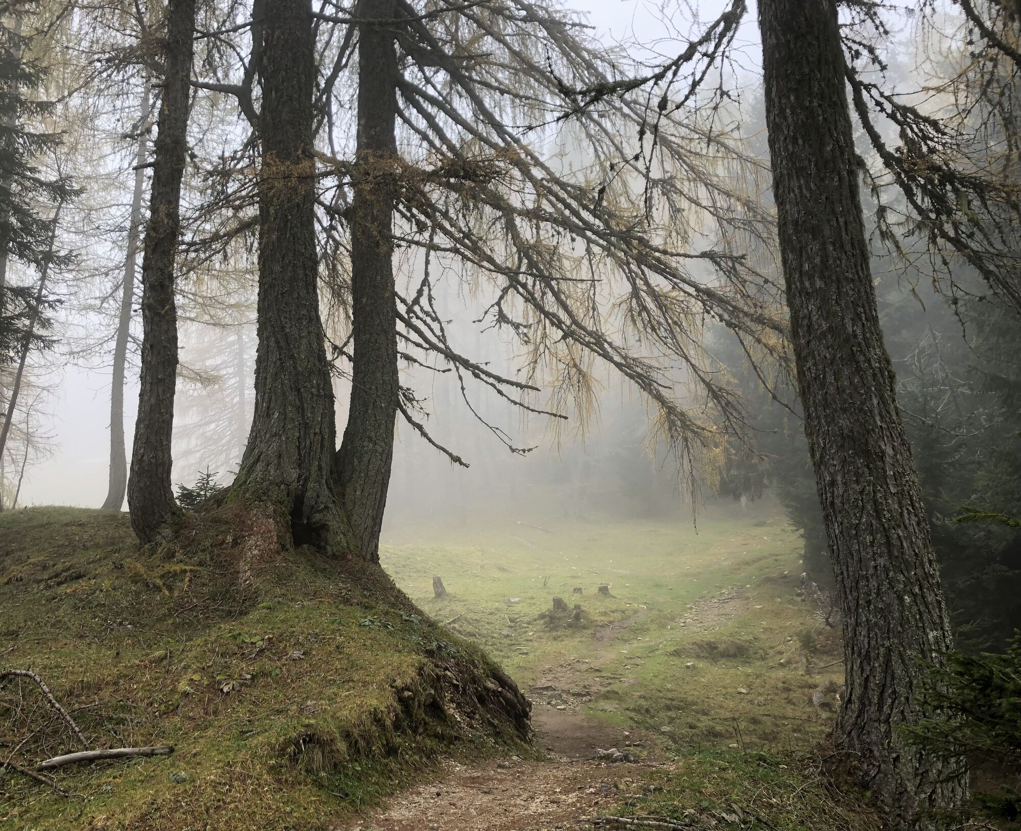
From the parking lot, cross the stream and then follow the asphalt road upwards to the start of the ravine, where the pilgrimage route begins. Follow this up to the Lussari Alm. There, turn right (west) and reach a saddle. In a few minutes, continue on a comfortable forest road heading north to Monte Lussari.
Ja
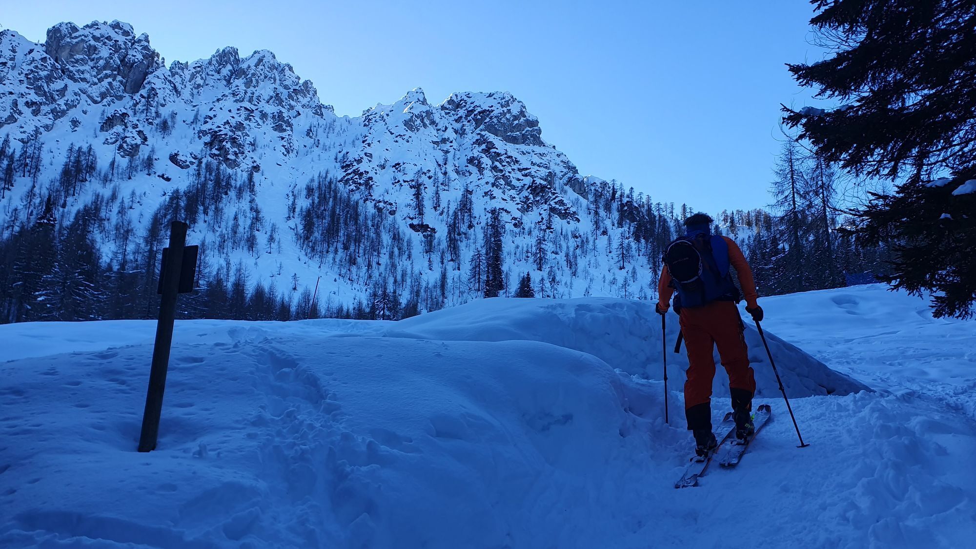
Avalanche transceiver, avalanche shovel, and probe
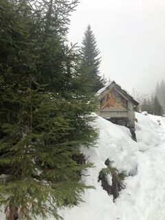
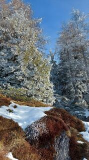
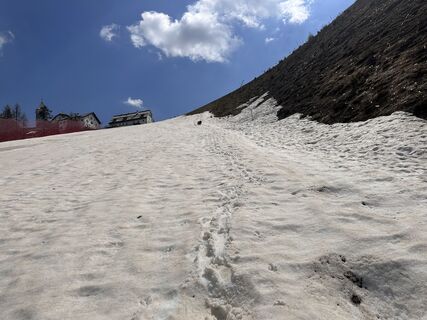
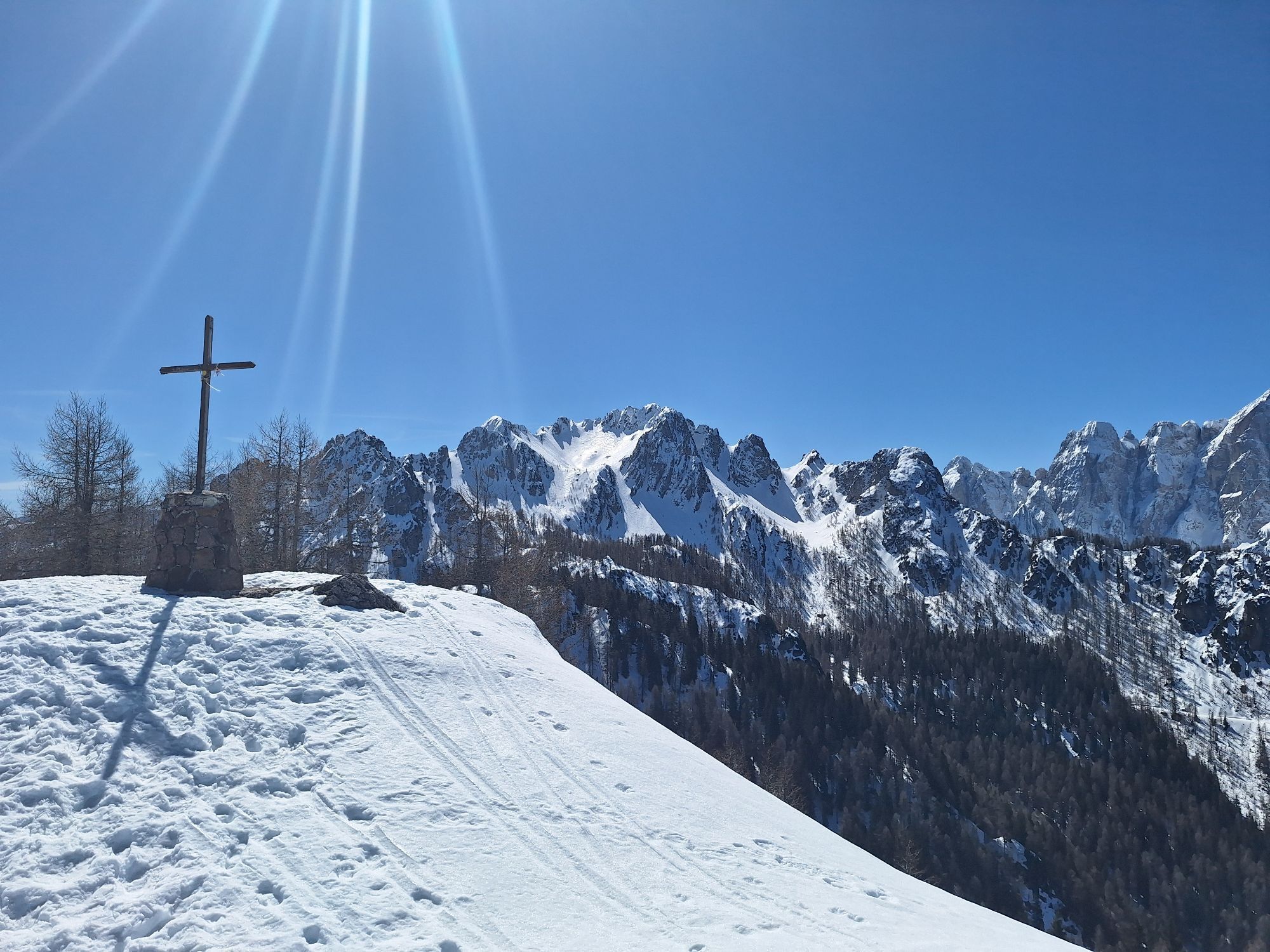
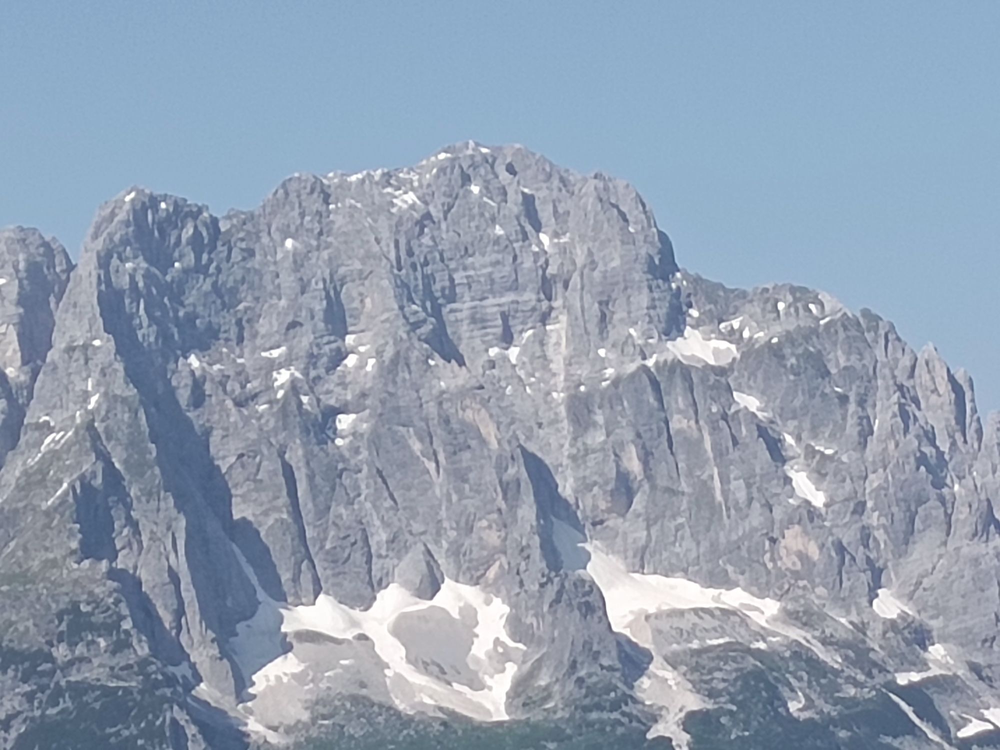
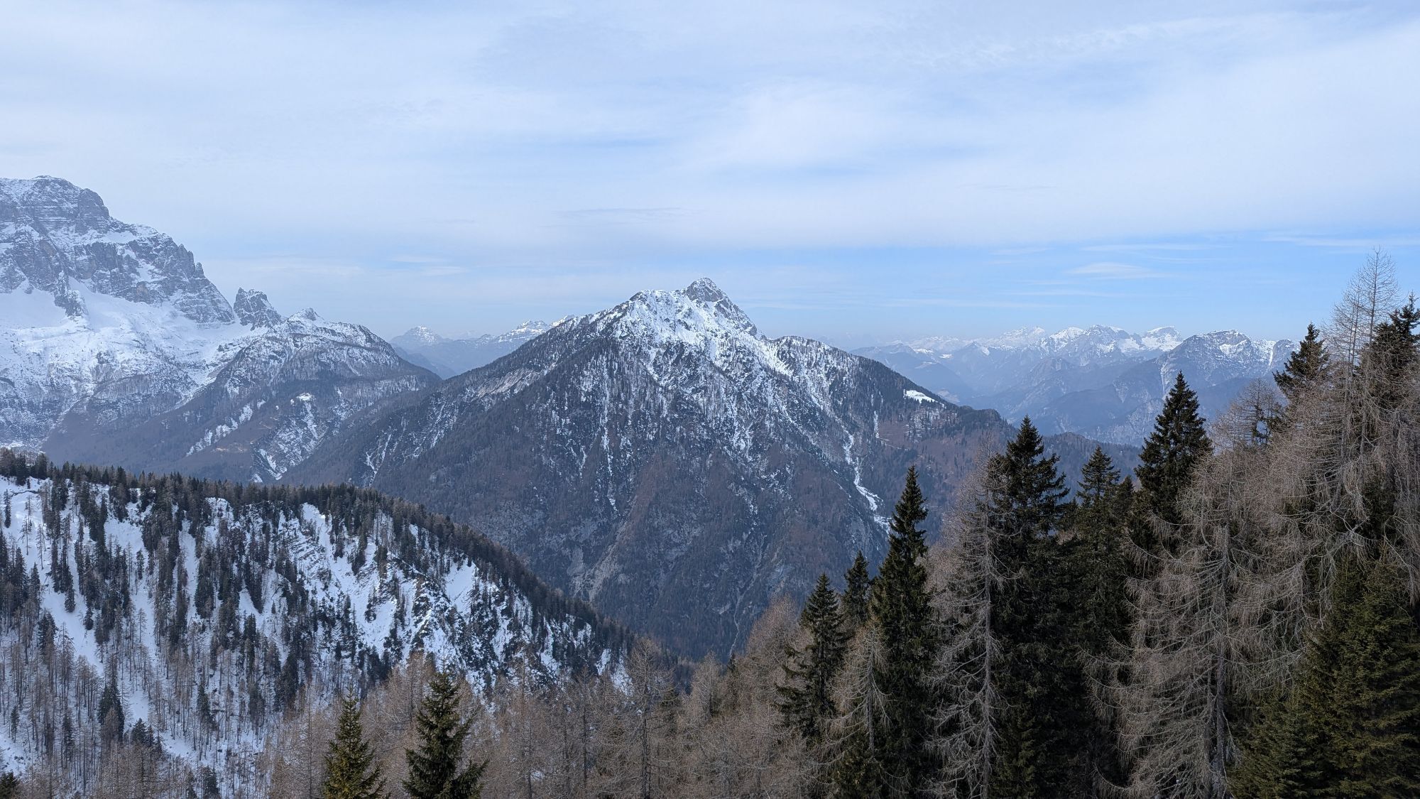
With little snow, the ascent route can be icy in places. In case of heavy thaw, wet snow avalanches can even reach the usually safe ascent track in the worst case.
First, take the A2 south to Tarvis (ITA). Take the motorway exit there, pass through the town center, and follow the state road towards Pontebba to the roundabout, where you follow the signs for Monte Lussari. This leads you to the large parking lot, but continue a few meters further to a small parking lot in front of a stream.
Ample parking options around the valley station of the Lussari cable car
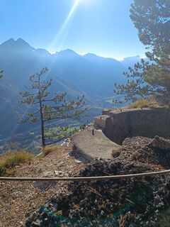
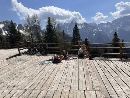
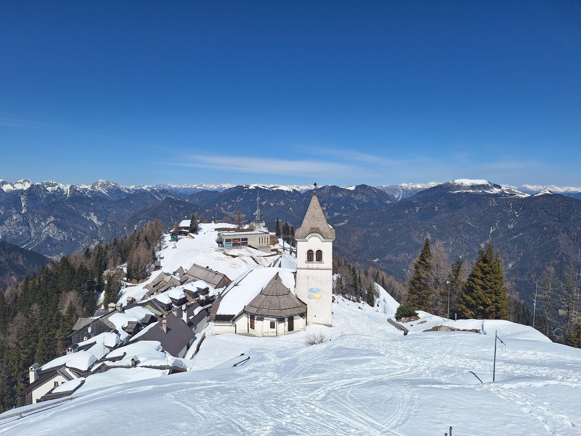
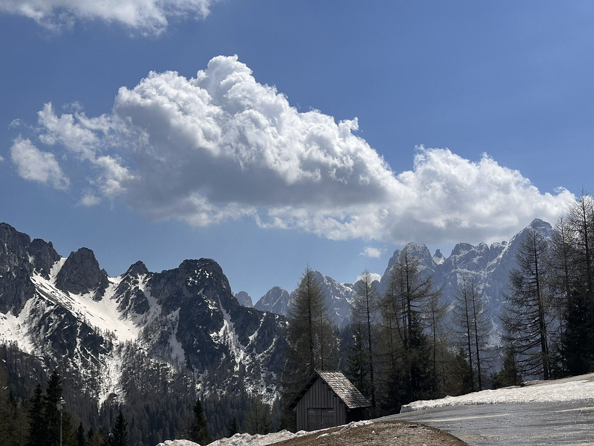
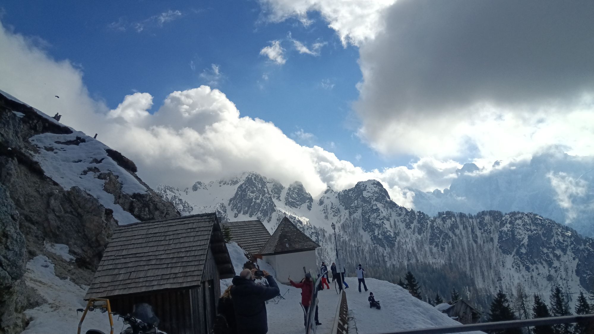
A sunny terrace right below the church invites you to linger.
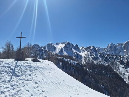
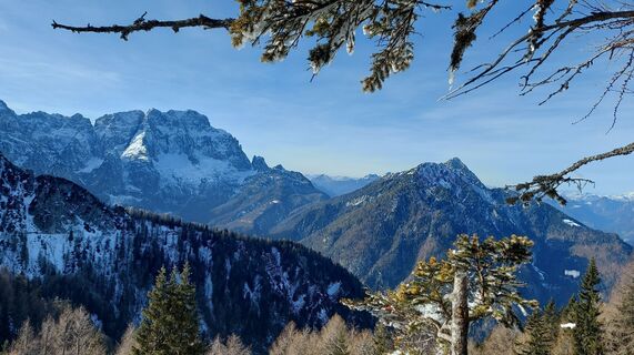
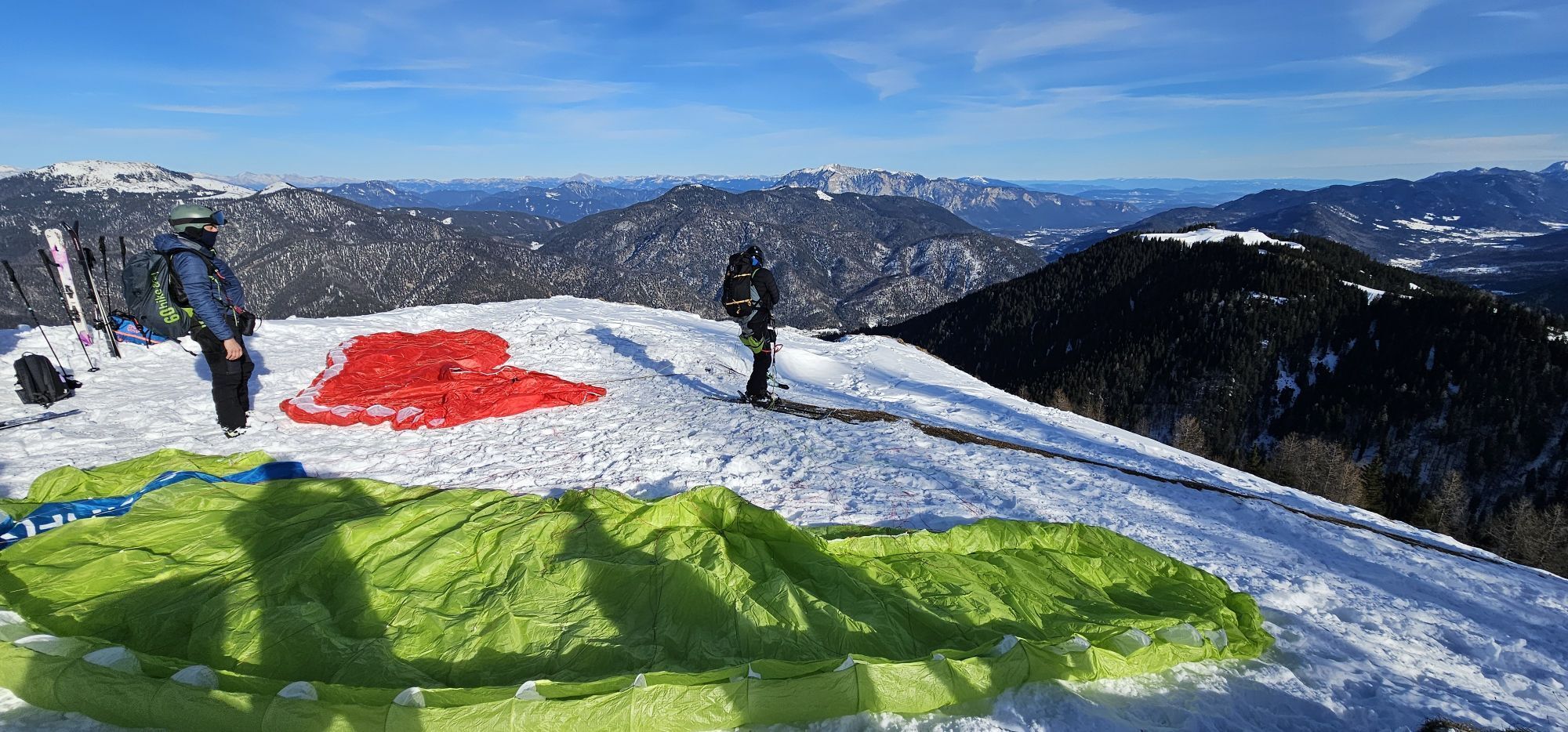
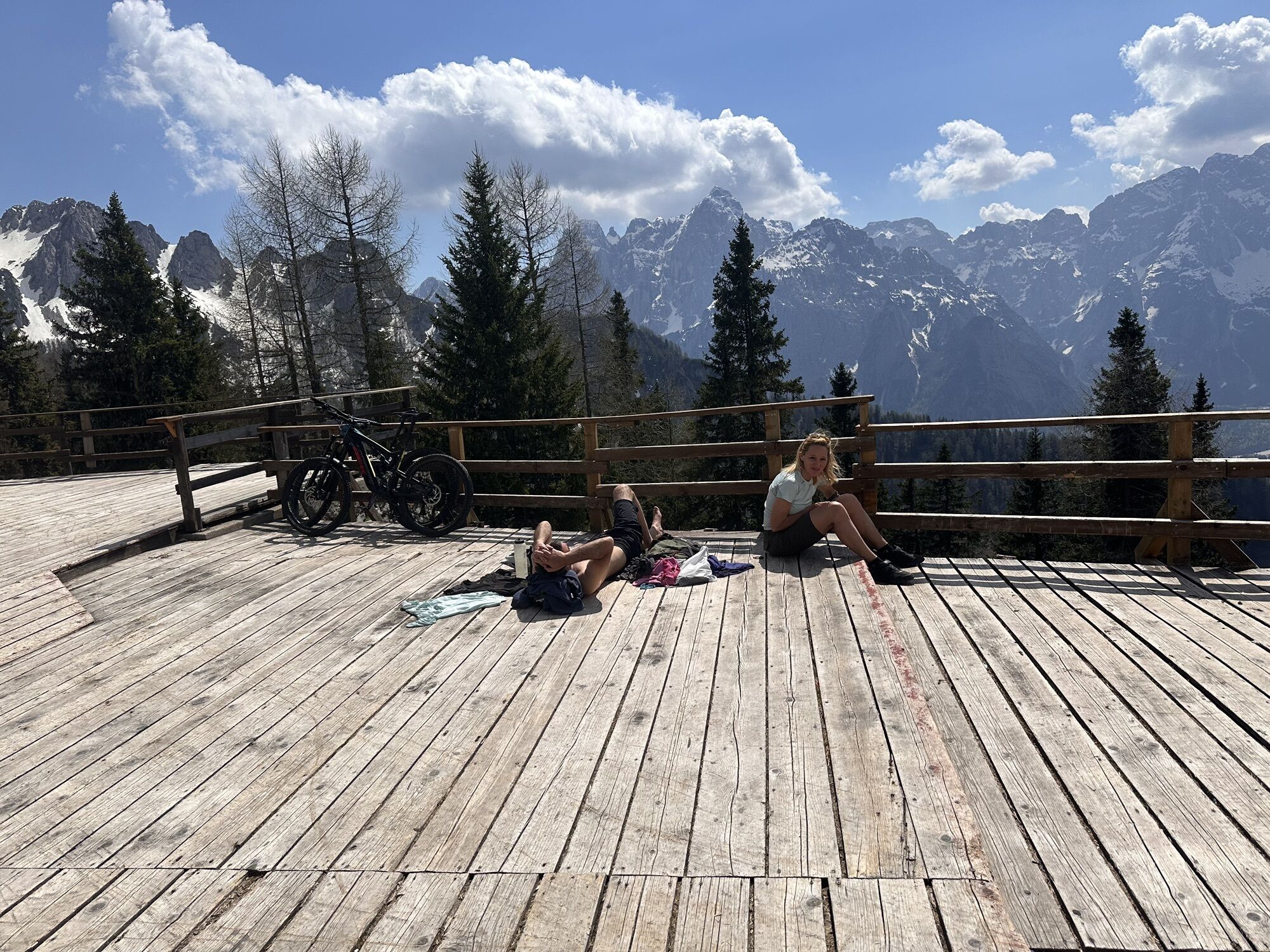
If you want, you can also extend the route to the Cacciatore. However, this requires safe conditions.
Webbkameror för rundturen
Populära turer i närområdet
-
4,9
Orrido dello Slizza, Tarvisio, Italië
ljusVandring 2,65 km -
4,4
Zacchi Wanderung Rundweg
ljusVandring 8,85 km -
4,9
Monte Lussari über den alten Pilgerweg
MediumVandring 6,43 km -
4,8
Fusine Lakes
ljusVandring 5,43 km -
4,2
Monte Lussari über den Büßerweg
MediumVandring 5,66 km -
4,0
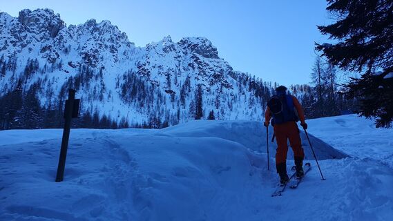
Monte Santo di Lussari, Skitour, Pilgerweg
MediumSkitour 9,35 km -
4,5
Monte Lussari
ljusSkitour 5,35 km -
4,7
Weißenfelser Seen: Fusine in Valromana - Ai Sette Nani - Seealm
MediumVandring 10,3 km -
4,7
Stage 1 - FVG1 Tarvisio - Venzone (C101)
MediumLångväga cykelväg 64,7 km -
4,5
Terra Rossa
ljusVandring 9,29 km
Vandring och spårning


Missa inte erbjudanden och inspiration inför nästa semester
Din e-postadress har lagts till på e-postlistan.