


Alto Cellina geological trail


The Pian de Crode is a large area located between 900 and 950 m asl near the base of the northern slopes of the Colon and Colciavath mountains. Upward it is bordered by rock walls and downward by the...
The Pian de Crode is a large area located between 900 and 950 m asl near the base of the northern slopes of the Colon and Colciavath mountains. Upward it is bordered by rock walls and downward by the course of the Cellina stream.
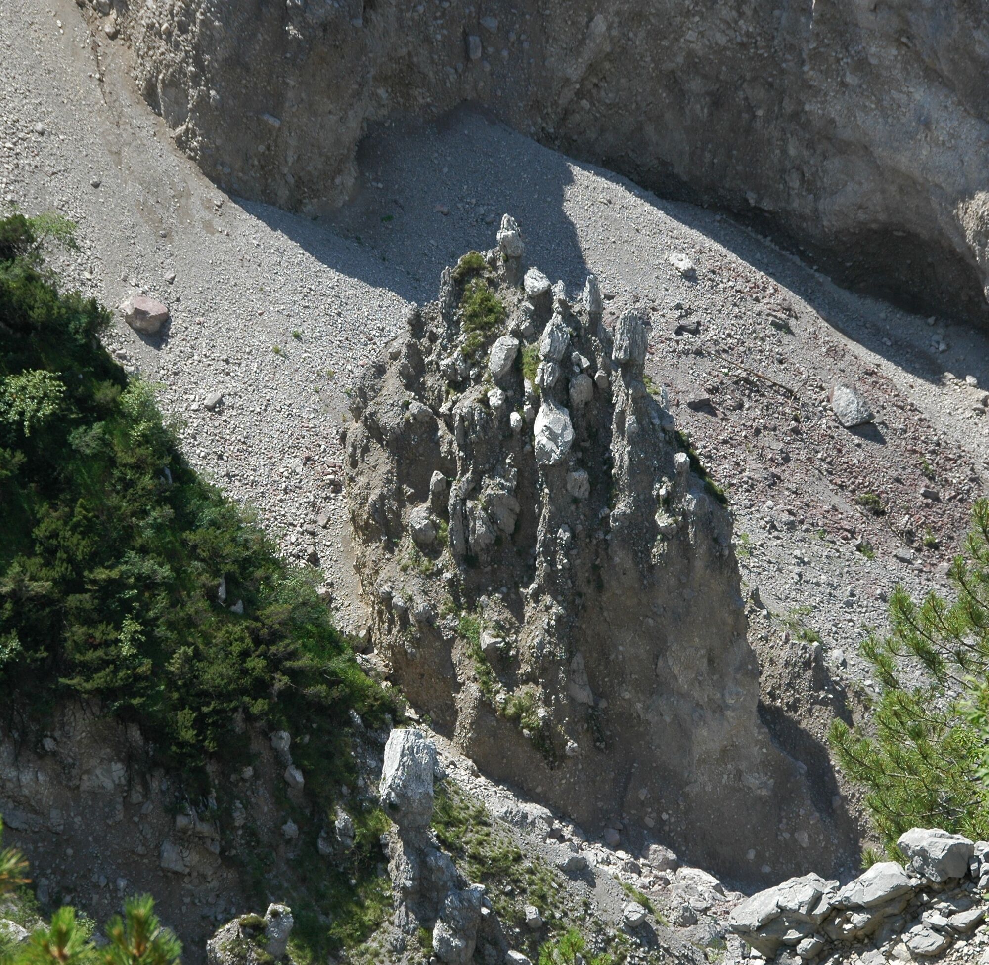
The Earth Pyramids are found in the lower part of the left Cellina slope in the section of the valley called Margons. These are particular morphologies related to the erosion of moraine deposits (of glacial origin) by runoff waters.
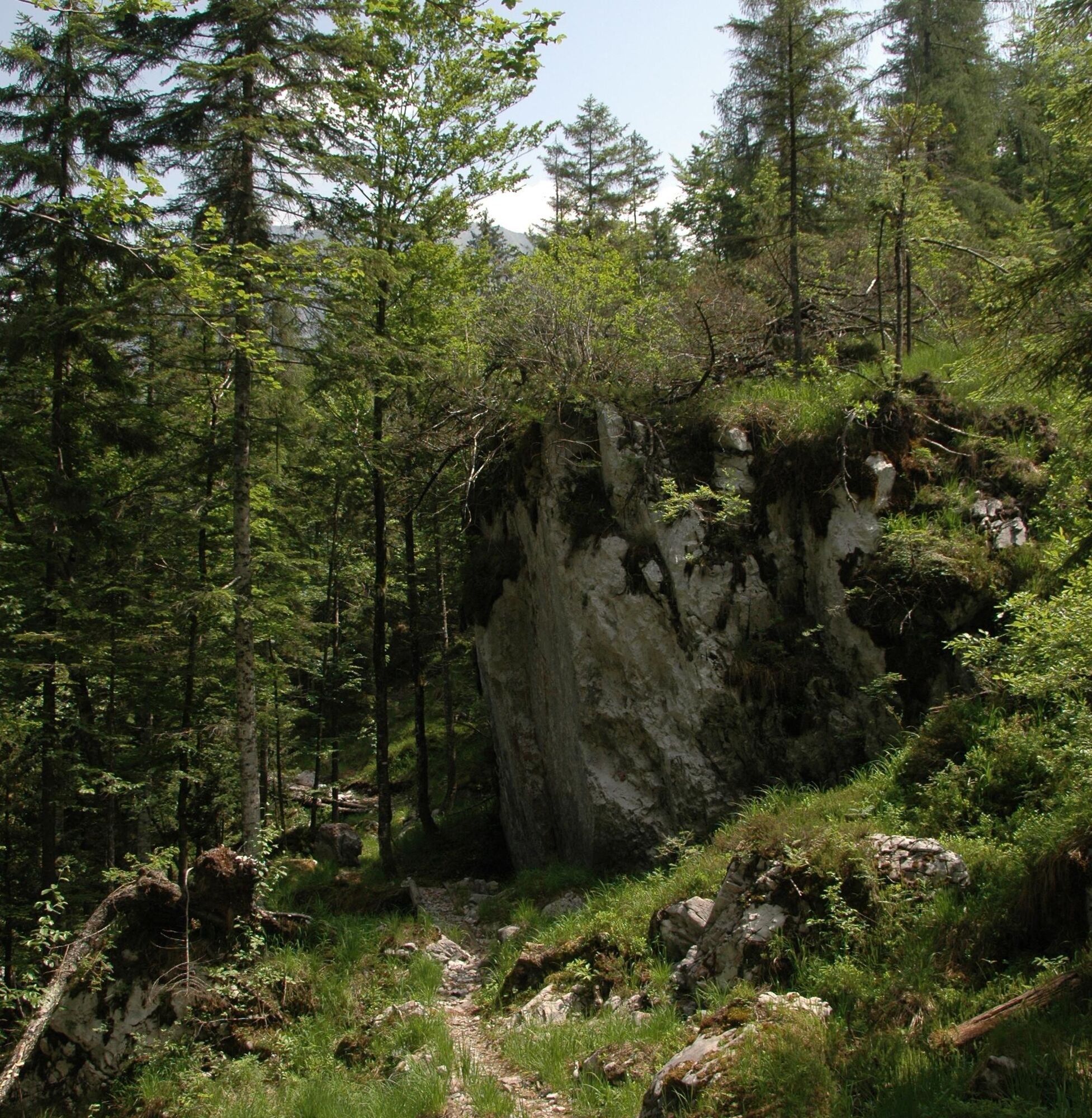
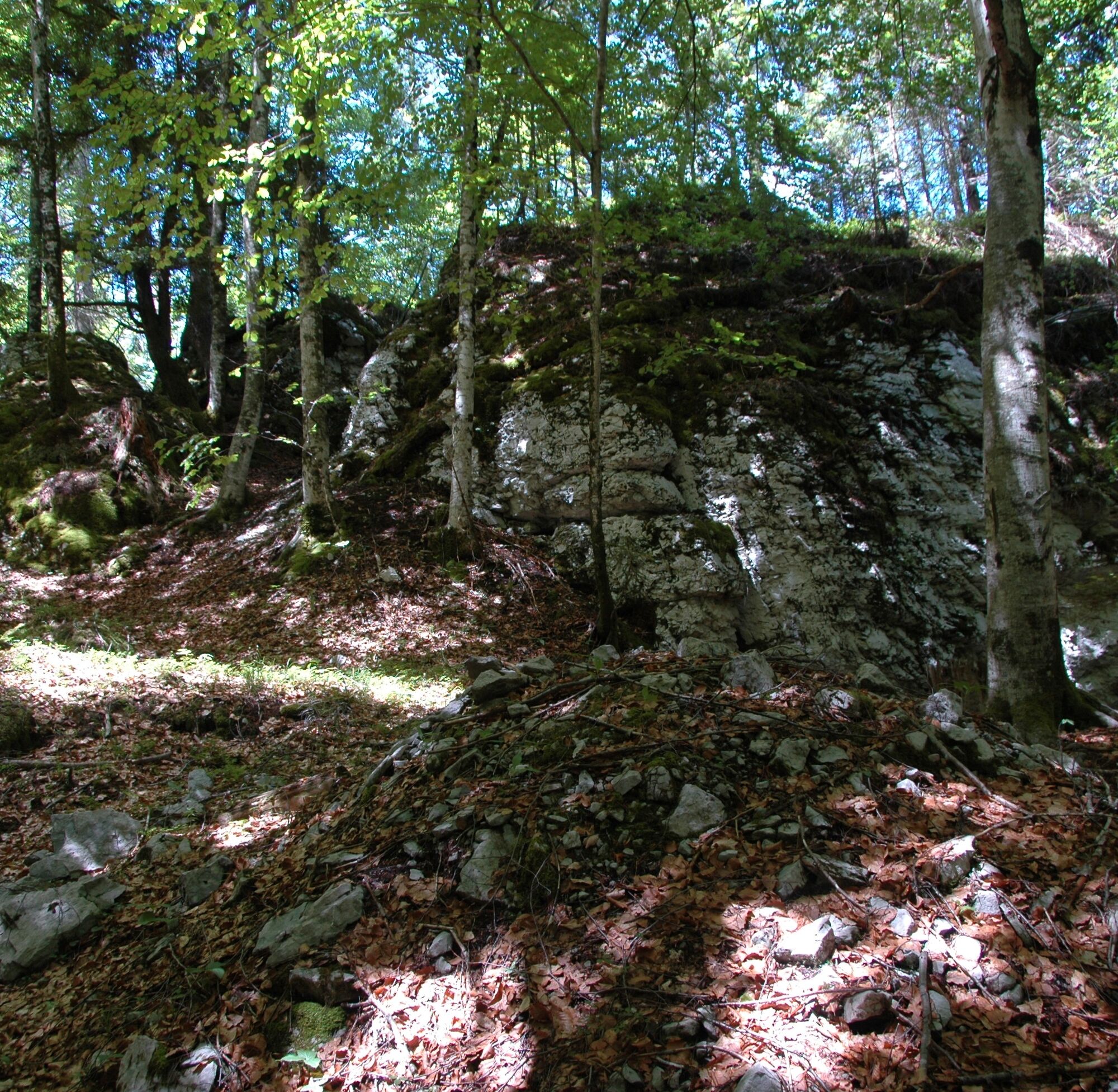
The Landre Scur is the most significant cavity of the hypogean karstification of the Frate and Ressetum mountain massif. It is characterized by the impressiveness of its mouth: 20 meters wide by as many meters high.
The Dinosaur Footprints are located on a boulder lying in the bed of a small stream near Casera Casavento.


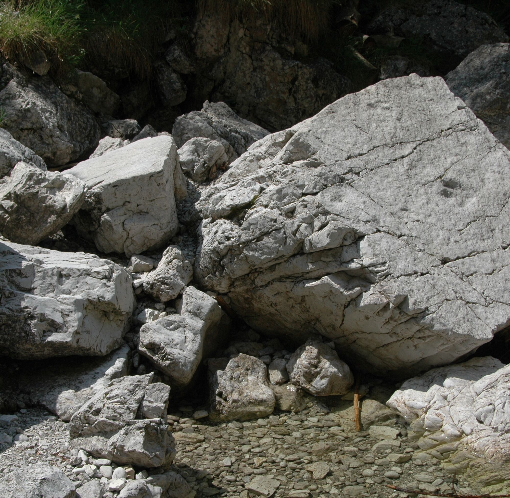
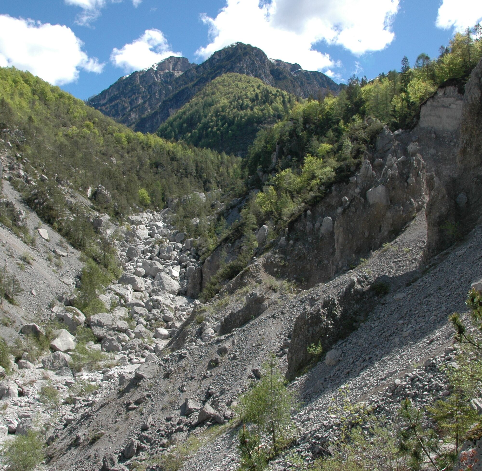
One must reach the hamlet of Lesis and continue along the "Strada degli Alpini" (toll road in summer). The parking area of Pian de Cea is located at the ford of the Val di Giere. From Pian de Cea a forest track allows you to reach and cross part of Pian de Crode (extensive body of landslide). Continue on a downhill trail that leads to the observation platform on the Earth Pyramids at the headwaters of the Cellina (Geosite of Regional Interest). It goes back up on the same path to continue, still uphill, to the mouth of the Landre Scur (large karst cavity connected to the Geosite "Karst of Mount Ressetum"). Return, for a stretch, to the path leading to the cave and continue, downhill, to the Casavento locality. Proceeding beyond the casera for a few hundred meters, it is possible to observe, in the bed of a small stream, the boulder that preserves the at casera Casavento (Geosite of National Interest). From casera Casavento you return to Pian de Cea using the road.
Ja
Ja
Mountain hiking normal
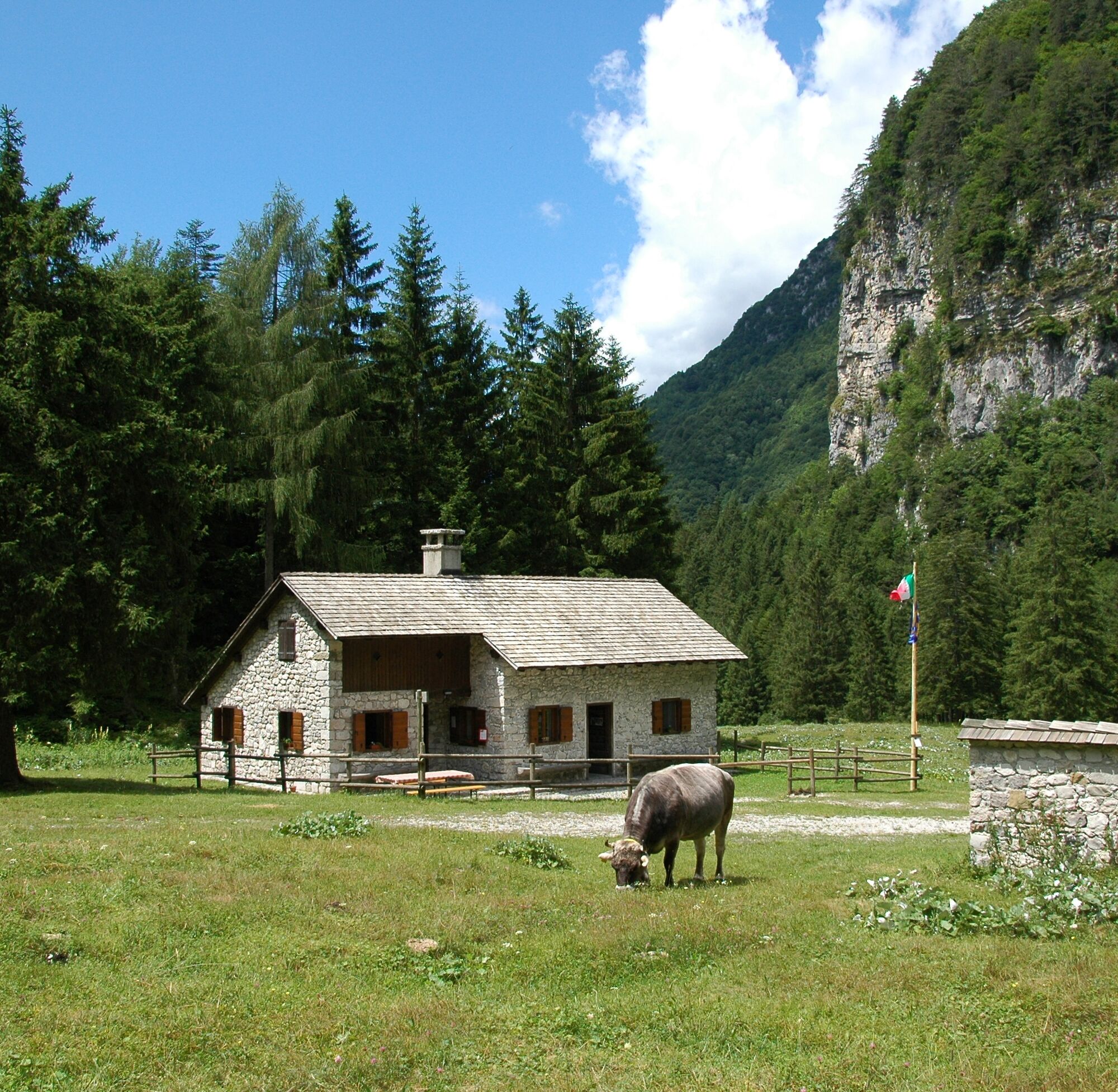
PLACEMENT POINTS: Casavento cheese factory
The starting point is Pian de Cea, which is 7 km from Claut. You have to reach the hamlet of Lesis and continue along the "Strada degli Alpini" (toll road in summer).
The Pian de Cea parking lot is located at the ford of the Giere Valley.
https://app.parcodolomitifriulane.it/itinerari/semplici-per-tutti/sentiero-geologico-alto-cellina/
Populära turer i närområdet
-
4,5
BARCIS LAKE RING
ljusVandring 5,64 km -
Raut da Palabarzana
MediumVandring 9,72 km -
Gnome village - blue path
ljusVandring 5,71 km -
Gnome village - green path
ljusVandring 4,46 km -
Enchanted Forest
ljusVandring 5,16 km -
MOUNT DOSAIP
tungVandring 8,37 km -
MONTANAIA VALLEY BELL TOWER BELVEDERES TRAIL
ljusVandring 3,07 km -
PATH OF SAN DANIELE AND SUSAIBES
ljusVandring 4,34 km -
Col dei Piais, San Gualberto Ridge Trail and new Truoi de Thep
MediumVandring 12,4 km -
4,0
Mount Resettum
tungVandring 15,0 km
Vandring och spårning


Missa inte erbjudanden och inspiration inför nästa semester
Din e-postadress har lagts till på e-postlistan.