


Cycling route Kranjska Gora - Planica - Kranjska Gora


This pleasant family cycling ride starts in front of the Tourist Information Centre Kranjska Gora. Turn onto the main street and drive through the centre of the village past the ski resort towards Podkoren...
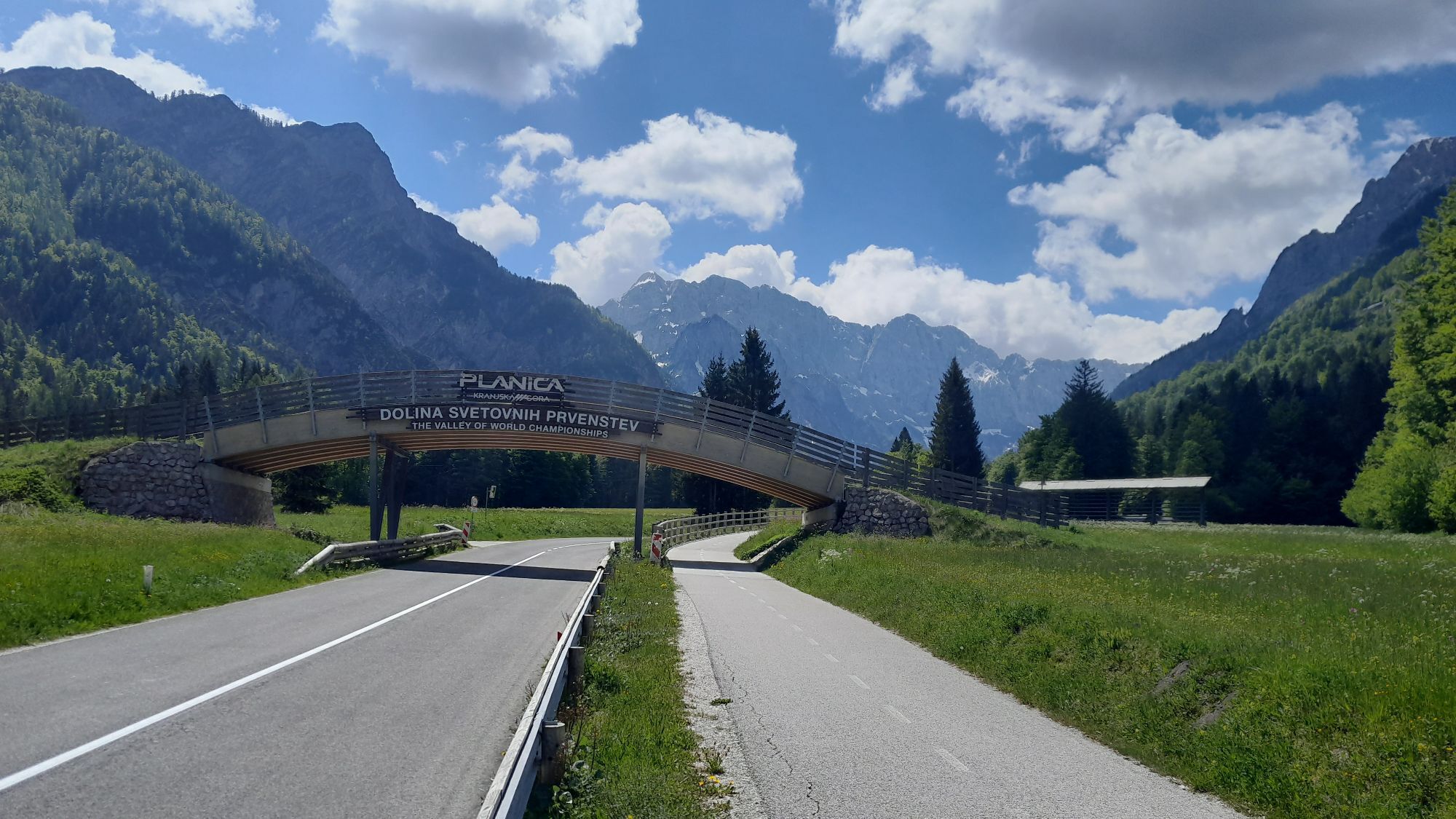
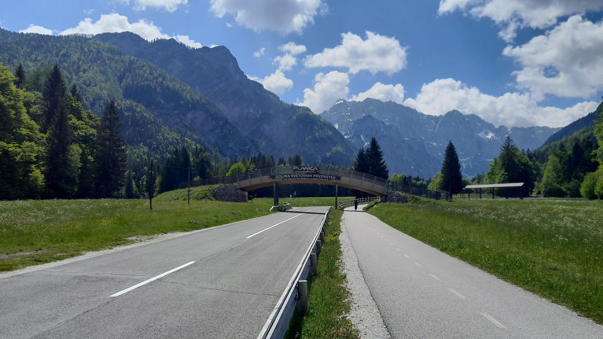
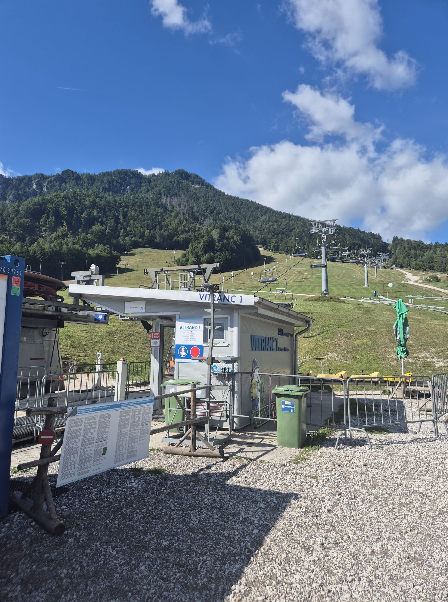
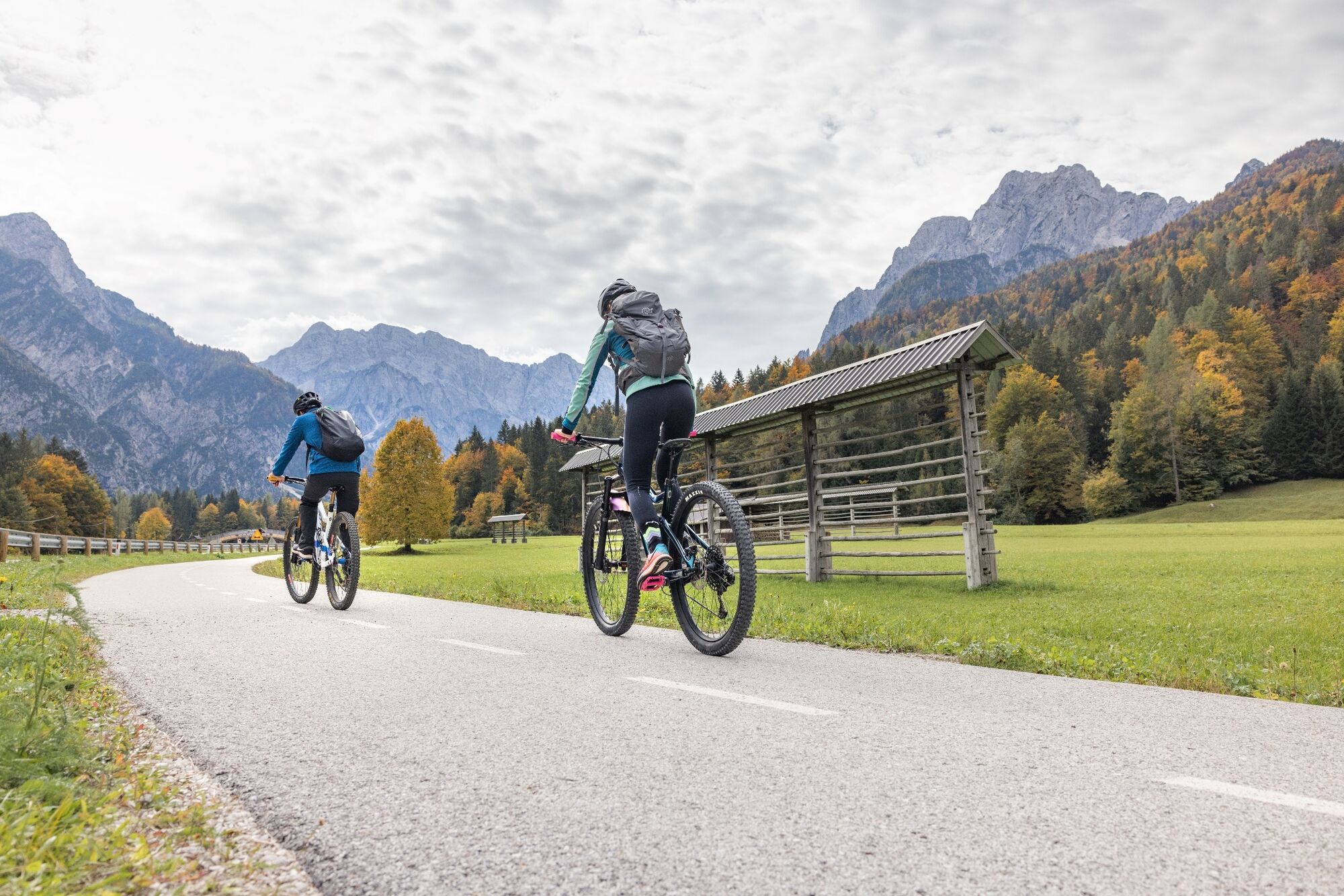
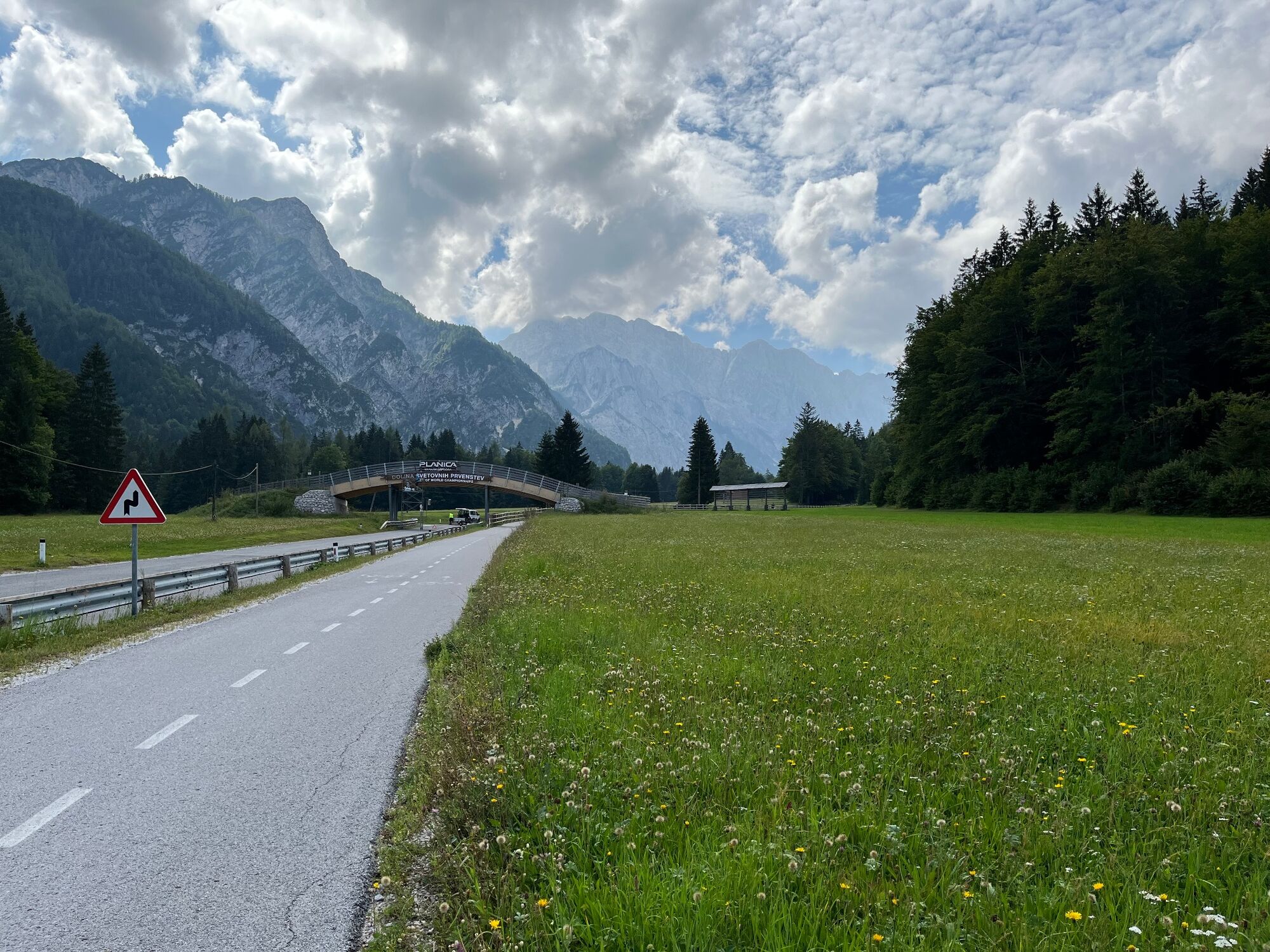
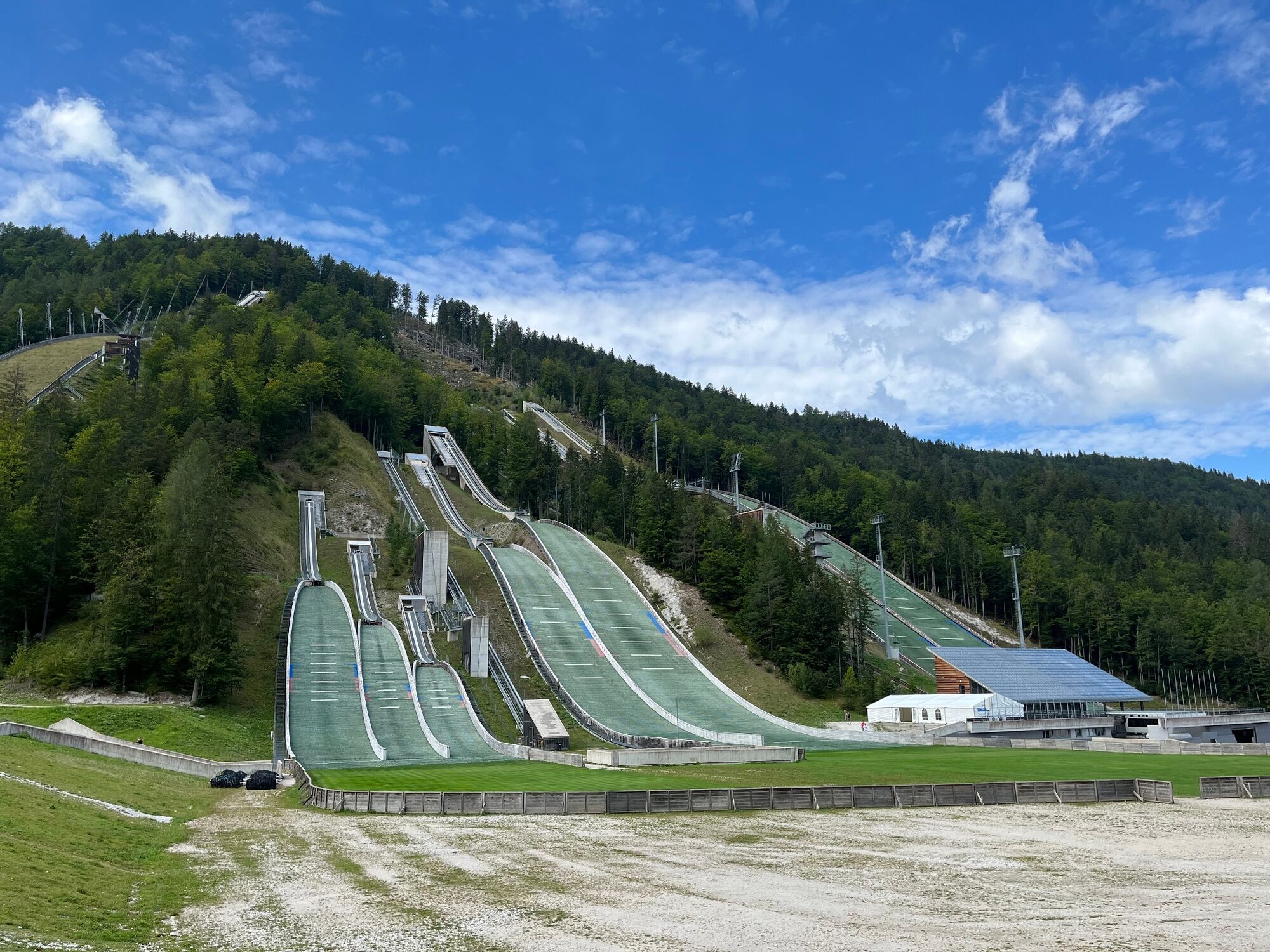
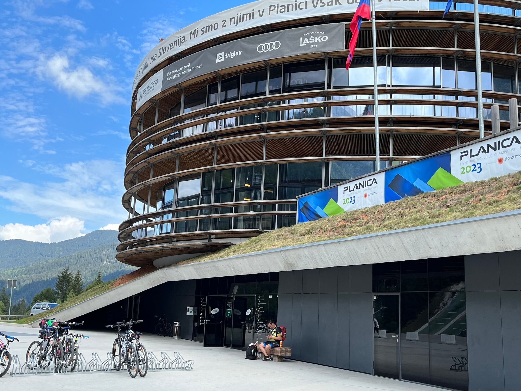
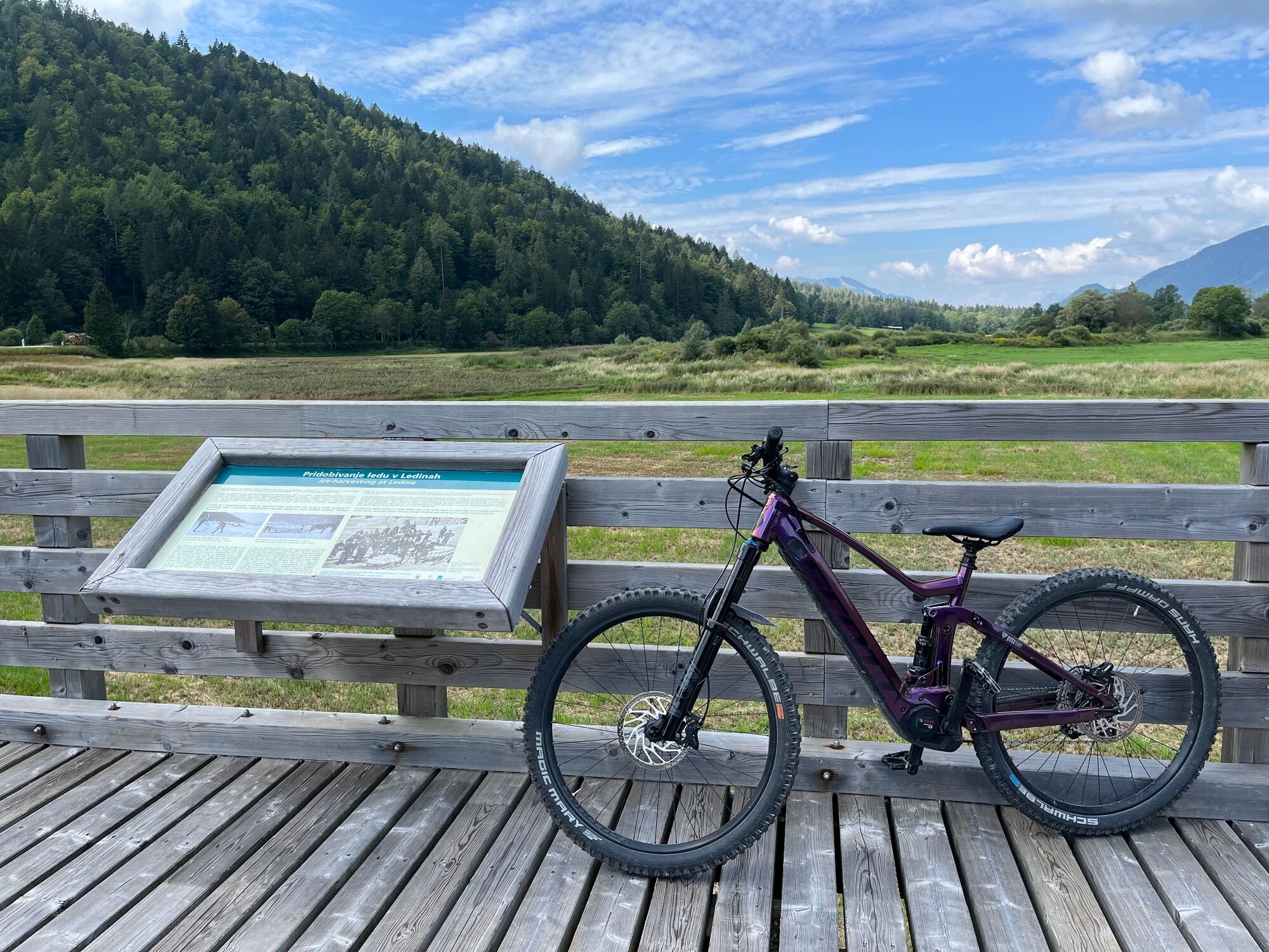
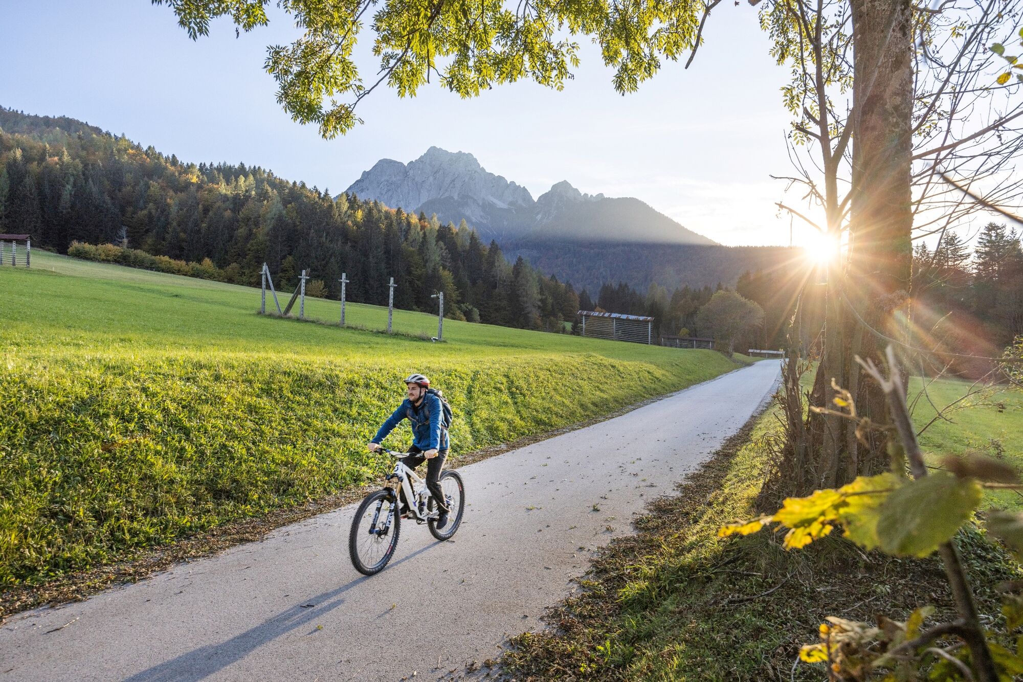
This pleasant family cycling ride starts in front of the Tourist Information Centre Kranjska Gora. Turn onto the main street and drive through the centre of the village past the ski resort towards Podkoren village. During the journey, children will notice the Kosobrin cabin, which you can visit on the way back. At the foot of the ski slopes that host annual men's competitions for the World Cup in alpine skiing, continue down the valley past the Zelenci Nature Reserve. The reserve is a unique natural environment in which many interesting plants have found their home, including the carnivorous sundew. Amphibians and nesting birds abundantly represent the fauna, thus we suggest a longer visit on another occasion. Follow the bike path to the intersection with the road that leads to Planica. Carefully cross it and stop on the right next to the nearby information boards, which display another natural attraction, the intermittent Lake Ledine. Ascend on the bike path to the Planica Nordic Centre. With some luck, you can watch the training of ski jumpers, take part in one of the activities offered by the centre or simply admire the valley below the Ponce mountain chain, its surrounding peaks and giants. On the way back, you can enjoy the views of the Karavanke with the Tromeja peak. Return along the same route and do not forget the promise of stopping at the Kosobrin cabin

Ja
Populära turer i närområdet
-
4,9
Orrido dello Slizza, Tarvisio, Italië
ljusVandring 2,65 km -
4,4
Zacchi Wanderung Rundweg
ljusVandring 8,85 km -
4,6
Rotschitza Klamm Klettersteig B/C
MediumVia ferrata 3,73 km -
4,7
Gailtaler Alpen: Wanderung auf der Dobratsch
MediumVandring 8,50 km -
4,9
Fusine Lakes
ljusVandring 5,43 km -
4,9
Triglav
tungHög tur 12,1 km -
4,4
Dobratsch - Jägersteig
MediumVandring 9,11 km -
4,3
Einfacher Aufstieg vom Parkplatz Rosstratte auf den Dobratsch
ljusVandring 9,12 km -
4,5
Baumgtn. Höhe, Mallestiger Mittags- und Schwarzkogel
tungVandring vintertid 10,7 km -
4,4
Hüttenkult - Koča v Krnici
MediumVandring 14,9 km
Vandring och spårning


Missa inte erbjudanden och inspiration inför nästa semester
Din e-postadress har lagts till på e-postlistan.