


Sils - Maloja - Isola - Sils (E-Mountainbike)
Svårighetsgrad: 3


Foton av våra användare
-
 © Susanna mastrobuoniSkapad på 29.06.2025
 -
 © Susanna mastrobuoniSkapad på 29.06.2025
 -
 © Gerardo BrunettiSkapad på 29.08.2024
 -

 © Francesca SemeraroSkapad på 12.08.2025
 -
 © Francesca SemeraroSkapad på 12.08.2025
 -
 © Francesca SemeraroSkapad på 12.08.2025
 -
 © Francesca SemeraroSkapad på 12.08.2025
 -
 © Harry Kooijman 1Skapad på 27.06.2024
 -

 © Annalena DietrichSkapad på 24.07.2022
 -
 © Annalena DietrichSkapad på 24.07.2022
 -
 © Annalena DietrichSkapad på 24.07.2022


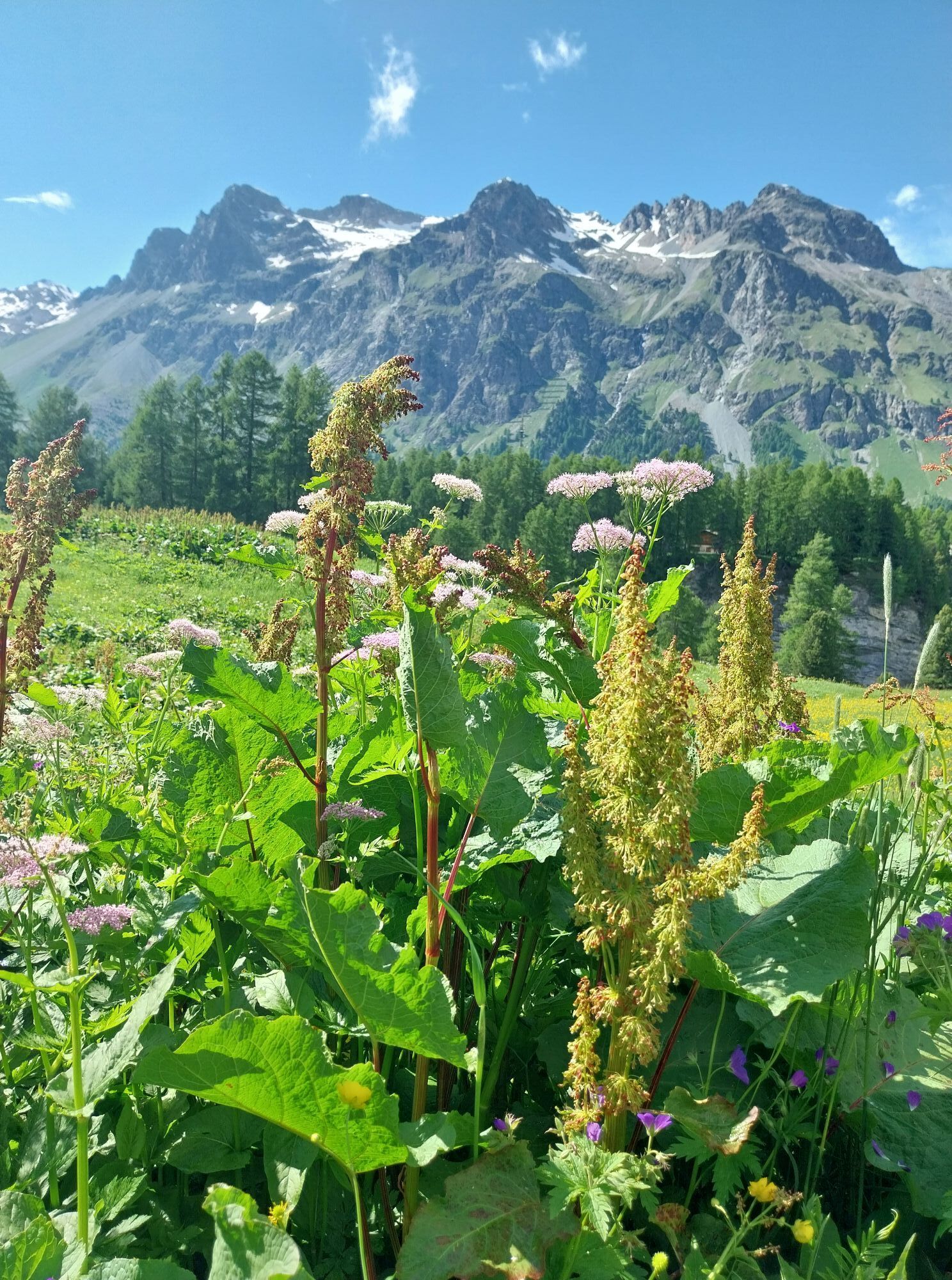


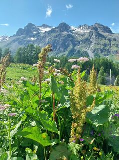
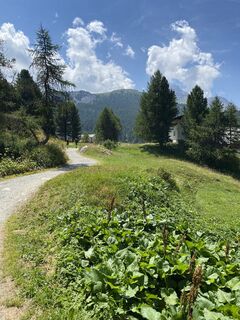
This route goes uphill from the start! Behind the Hotel Maria in Sils Maria, the trail leads up into the fragrant mountain forest to the front of Val Fex. After passing through the pretty hamlet of Fex...
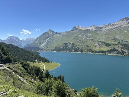
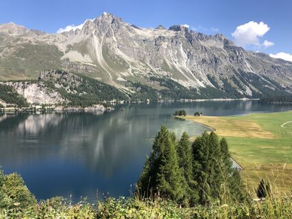
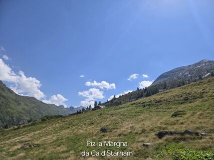
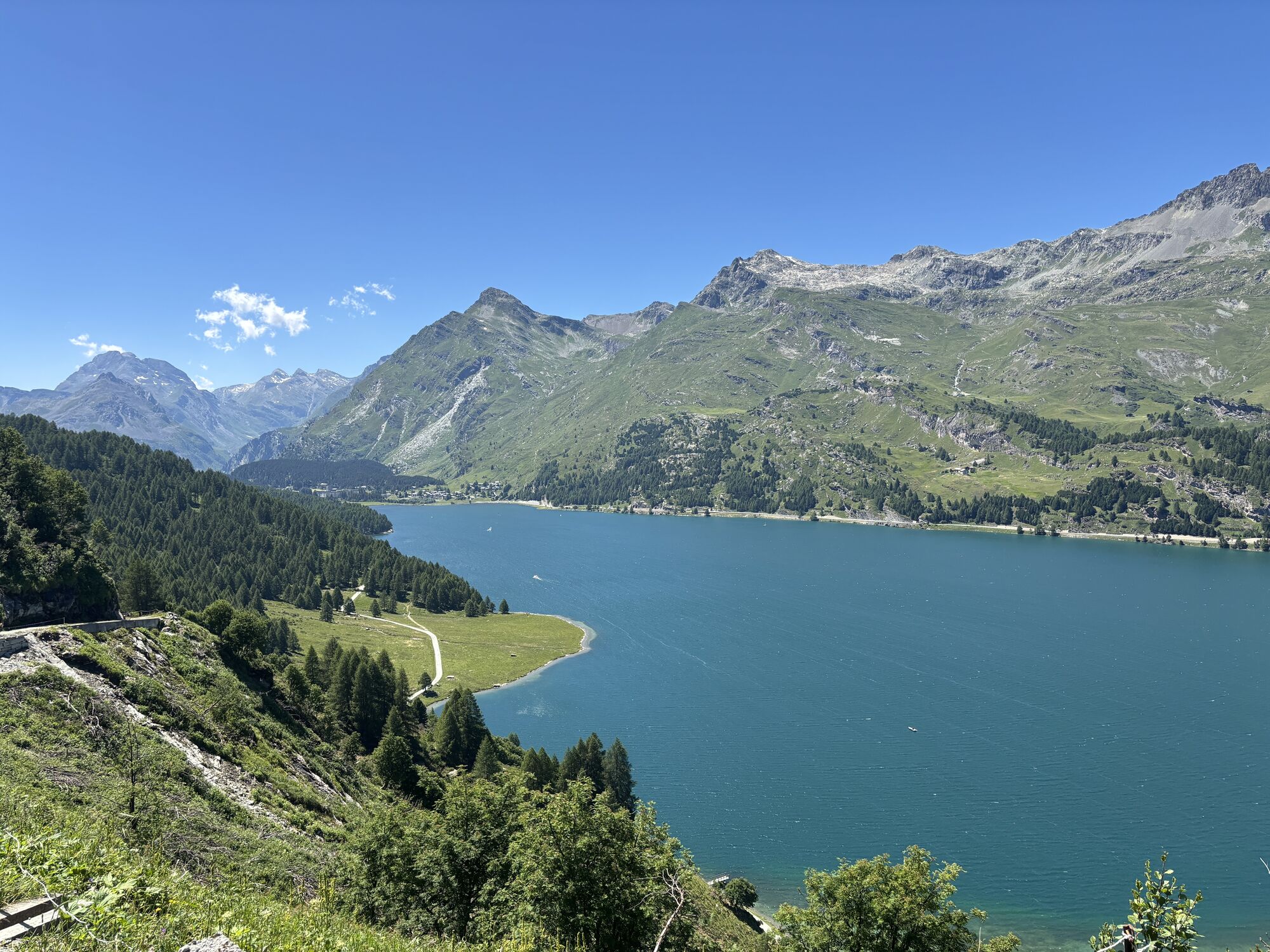
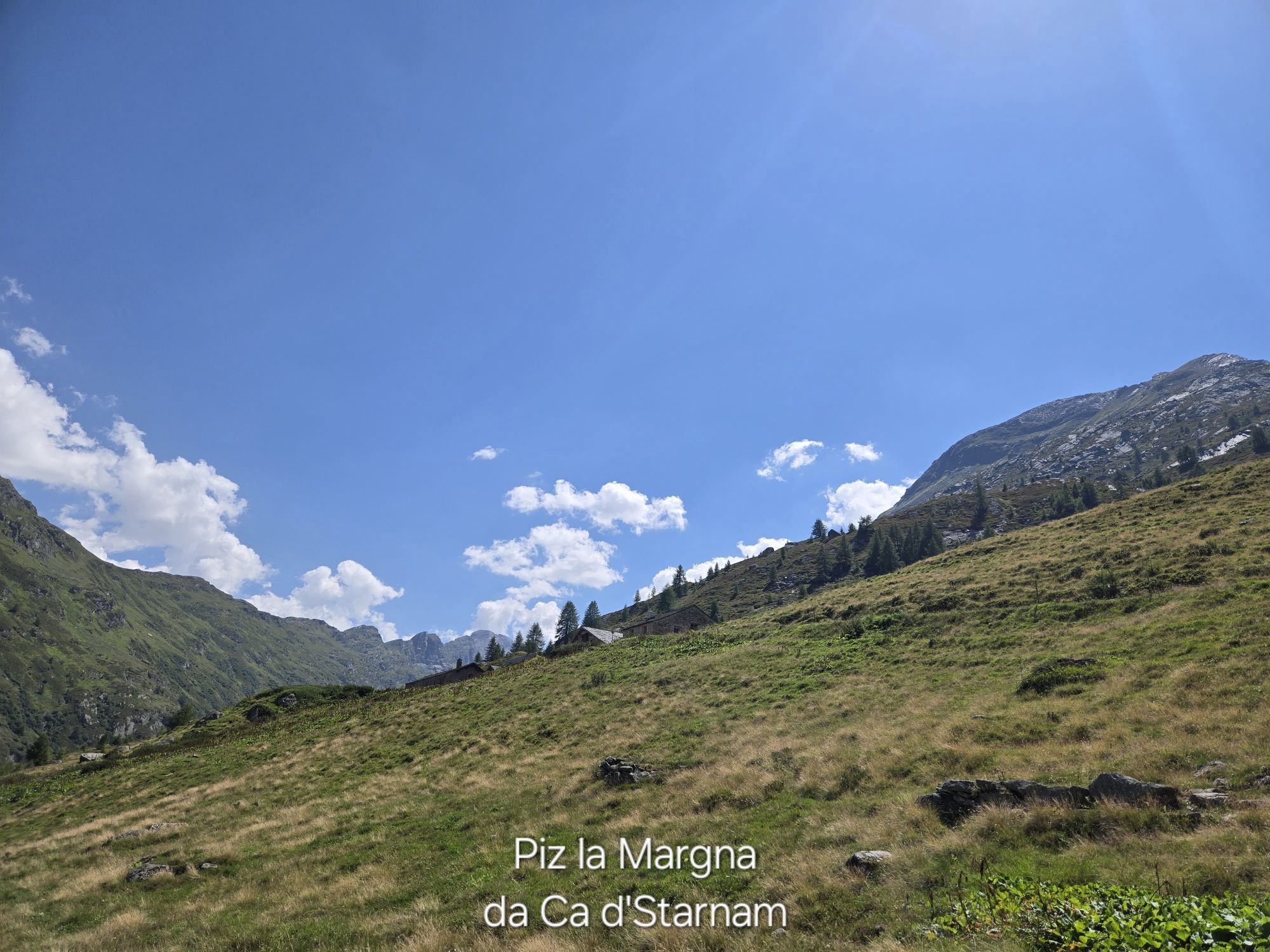
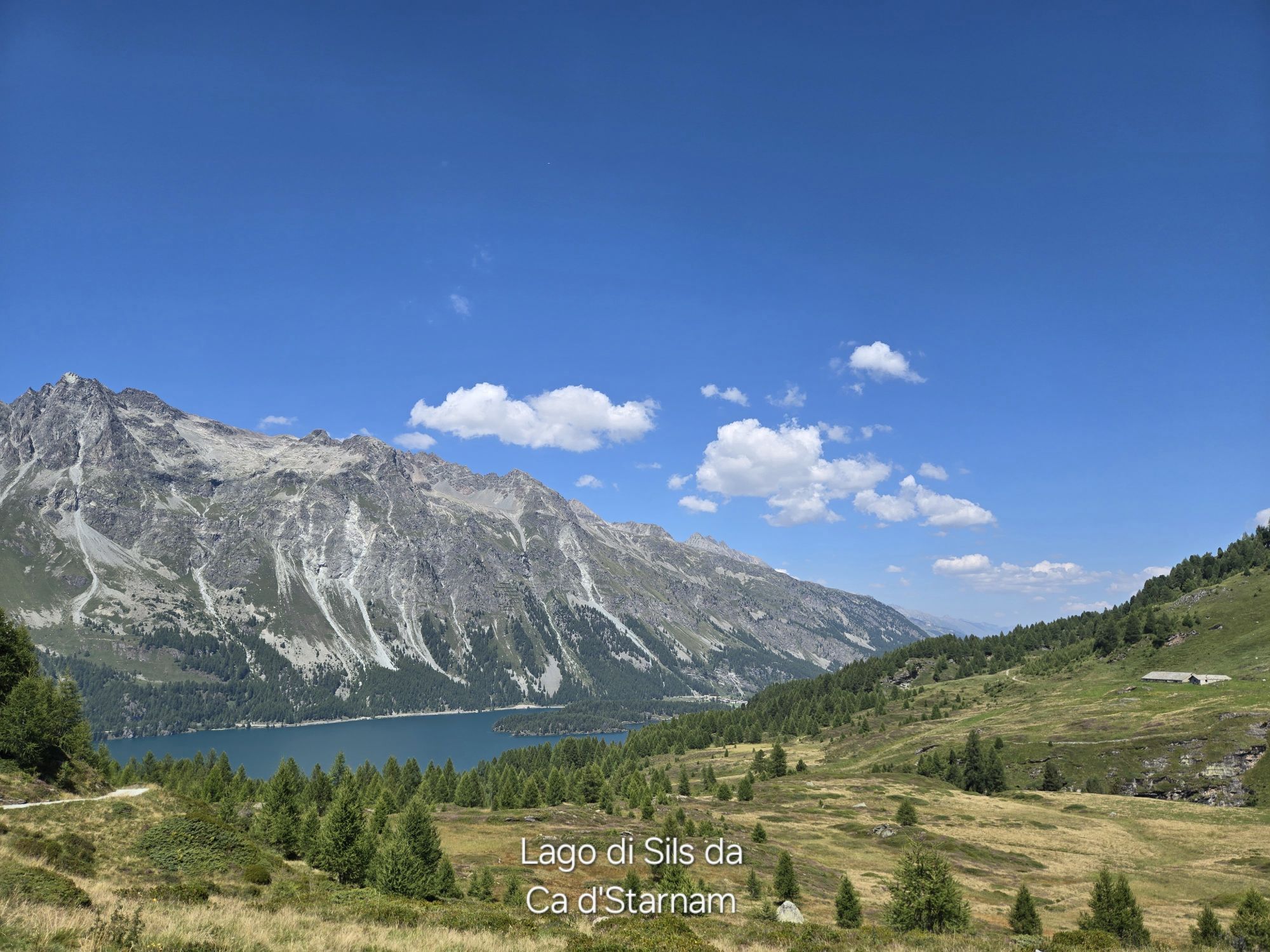
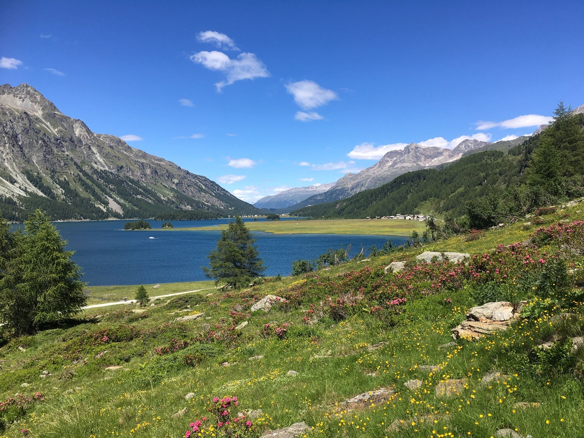
This route goes uphill from the start! Behind the Hotel Maria in Sils Maria, the trail leads up into the fragrant mountain forest to the front of Val Fex. After passing through the pretty hamlet of Fex Platta, you can let the bikes roll downhill a little towards Val Fedoz again. The overwhelming view of the blue Lake Sils accompanies you on your ride over the Petpreir and Ca d'Starnam alp pastures to Plan Brüsciabräga on the shore of the largest lake in Graubünden. From there, you cycle comfortably on the alpine road to the mountain pass village of Maloja, where a small detour through the nature reserve to the Belvedere Tower is worthwhile.
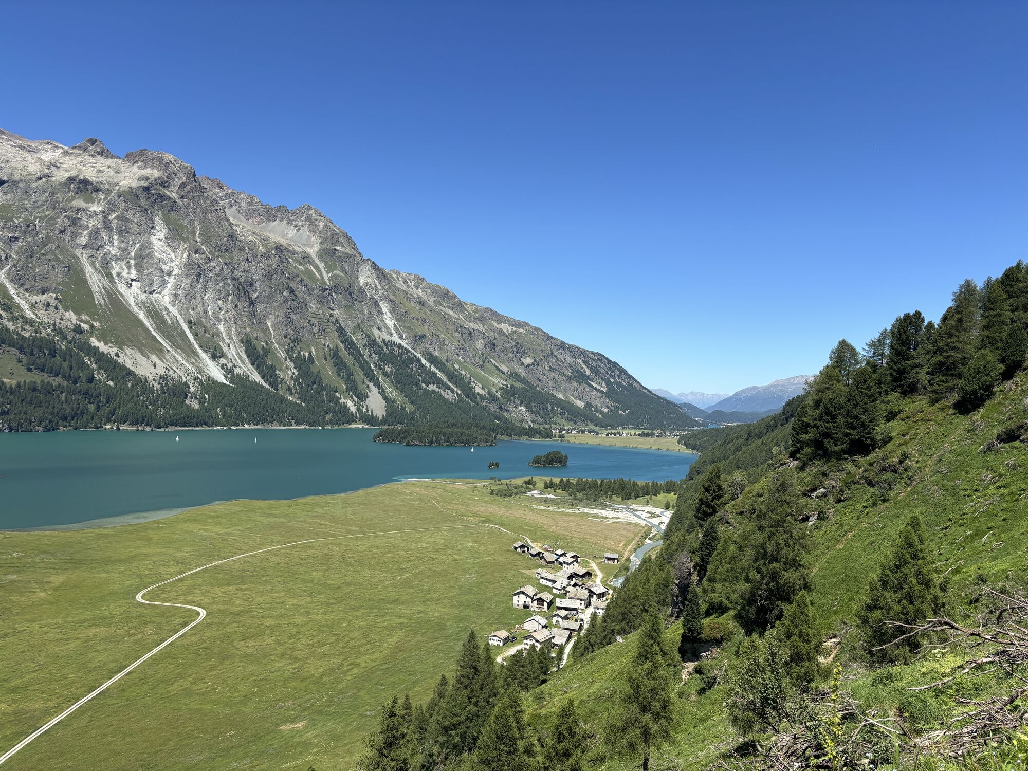
On the way to this tower, you will discover ice age relics at the edge of the path: the impressive glacial potholes. The Belvedere Tower itself scores with a spectacular view over Bergell and the surrounding alpine world. The same route you came by leads you back, past the campsite and through the bright larch forest to the idyllic hamlet of Isola, which lies on the edge of the large delta directly at the exit of the Fedoz gorge. After crossing the Ova da Fedoz, the winding hiking trail climbs steeply and leads you back into Val Fex. In the valley basin of Vaüglia, the carriage road ascends again before you can race down past the imposing historic Hotel Waldhaus through God Laret directly into the village center of Sils Maria.
Further information
Engadin Tourism AG
Via Maistra 1
CH-7500 St. Moritz
Phone: +41 81 830 00 01
E-mail: allegra@engadin.ch
Website: www.engadin.ch

Sils Maria - Fex Platta - Val Fedoz - Lake Sils - Maloja - Belvedere Tower - Lake Sils - Isola - Val Fex - Sils Maria
Ja
This route follows official hiking trails and alpine roads. Please be considerate and exercise caution. In some areas, cattle and other grazing and alpine animals can be expected.
Engadin - Sils Maria
Bus stop Sils/Segl Maria, Post
Parking garage Sils/Segl Val Fex
3
See also
Sils Tourist Information
T +41 81 838 50 50
sils@estm.ch
www.sils.ch / www.engadin.ch
There is a changing exhibition by Pro Natura in the Belvedere Tower.
Very busy in the high season.
Webbkameror för rundturen
-
Sils - Hotel Waldhaus
-
Silvaplana - Mittelstation Murtèl
-
Silvaplana - Mittelstation Murtèl
-
Silvaplana - Mittelstation Murtèl
-
Silvaplana - Mittelstation Murtèl
-
Silvaplana - Mittelstation Murtèl
-
Maloja Palace
-
Aela
-
Casaccia
-
Silvana - Alpetta Hütta
-
Alpetta Hütta, Corvatsch
-
Corvatsch - Hossa Bar
-
Silvaplana - Hossa Bar
Populära turer i närområdet
-
4,7
SAC Tschierva
ljusVandring 24,7 km -
5,0
Maloja-Piz Lunghin-Pass Lunghin-See Lunghin- Blaunca- Maloja
MediumVandring 15,5 km -
4,5
Pontresina - Val Roseg - Pontresina
ljusVandring 13,8 km -
Mittelstation Murtèl – Fuorcla Surlej – Val Roseg – Pontresina
MediumVandring 23,5 km -
4,8
Maloja - Motta Salacina - Lägh da Cavloc - Maloja
MediumVandring 10,3 km -
Muottas de Schlarigna - Lake Staz
tungVandring 14,0 km -
4,8
Around Lake St. Moritz
ljusVandring 4,32 km -
4,0
Piz Nair - Corviglia - Chantarella
MediumVandring 8,20 km -
4,5
Val Roseg
ljusTrail running 14,6 km -
4,8
Corvatsch Murtèl - Fuorcla Surlej
MediumVandring 4,52 km
Vandring och spårning


Missa inte erbjudanden och inspiration inför nästa semester
Din e-postadress har lagts till på e-postlistan.