


Circular hike Morissen
Svårighetsgrad: 2


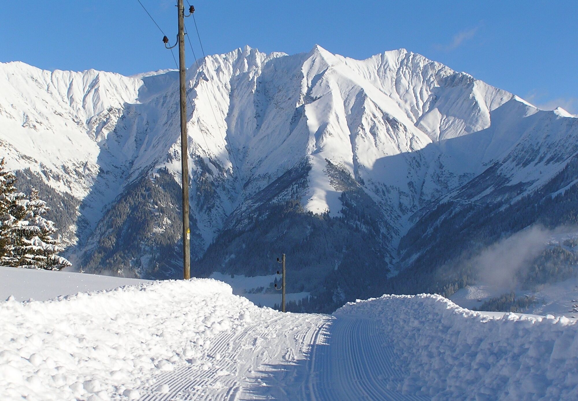
The hike starts in Morissen and leads through the Maiensäss landscape up towards Giatries. From there it passes through the deeply snow-covered forest of S.Carli to the junction towards the antenna. Shortly...
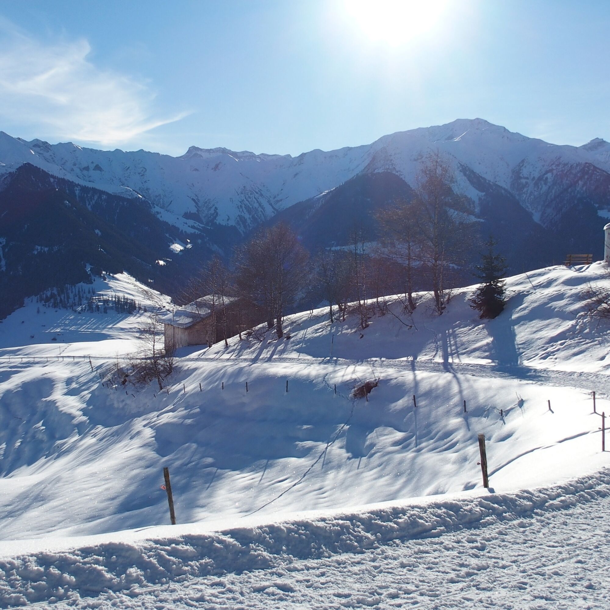
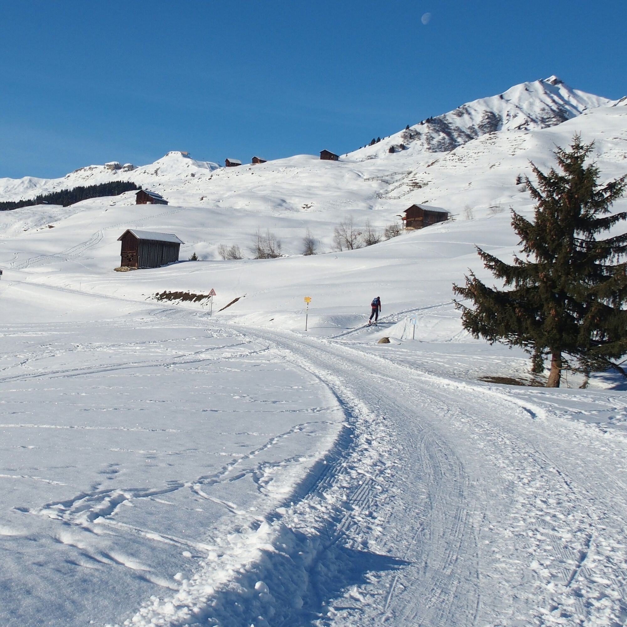
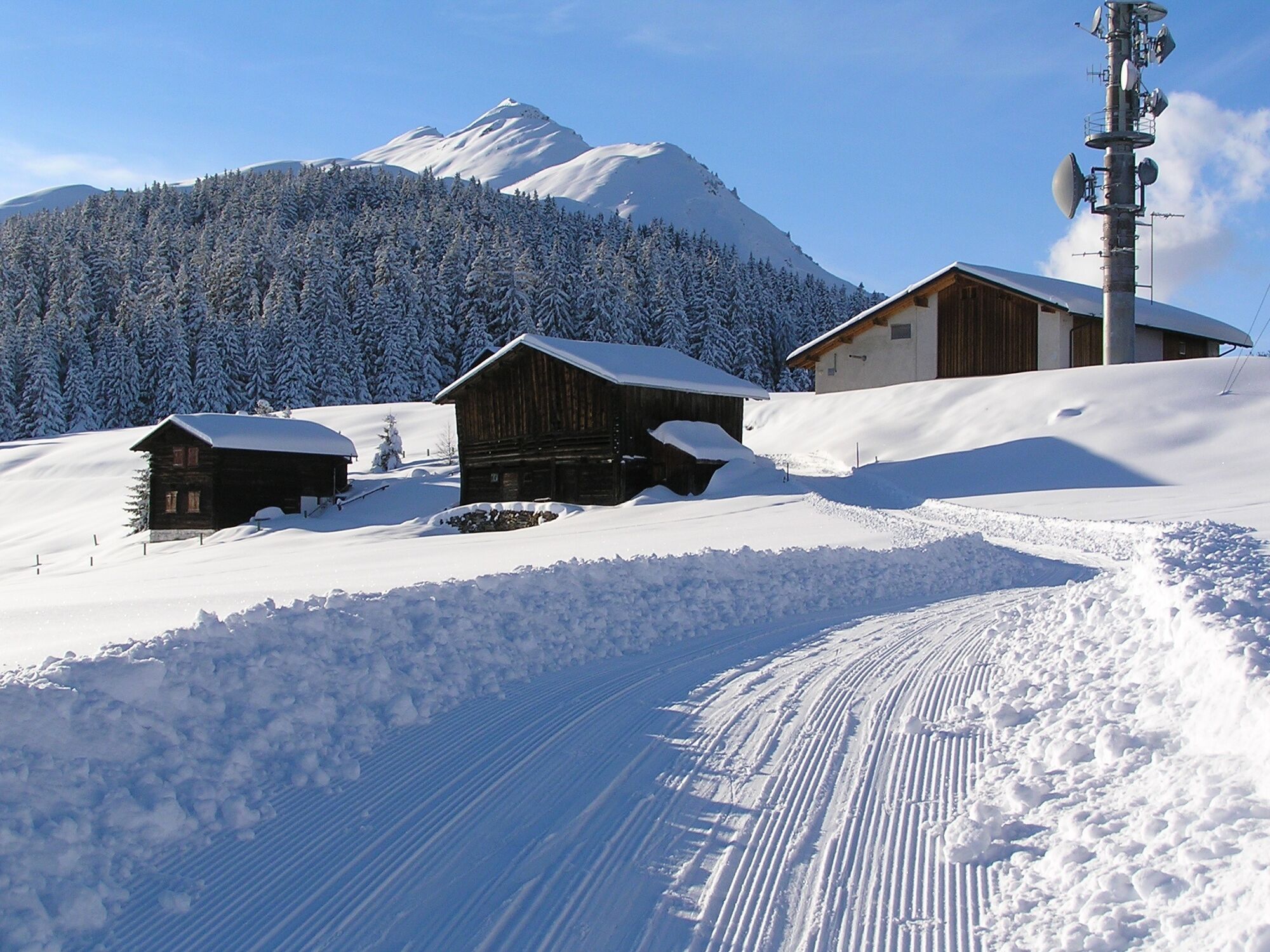
The hike starts in Morissen and leads through the Maiensäss landscape up towards Giatries. From there it passes through the deeply snow-covered forest of S.Carli to the junction towards the antenna. Shortly before the antenna, the path leaves the forest and leads across meadows down to Linaus. Another section through the deeply snow-covered forest follows before, at the end, slightly ascending, it returns to Morissen.
See also
Surselva Tourism AG
Info Lumnezia
Palius 32 D
CH-7144 Vella
Tel.: 0041 81 931 18 58
E-mail: vallumnezia@surselva.info
Internet: www.surselva.info

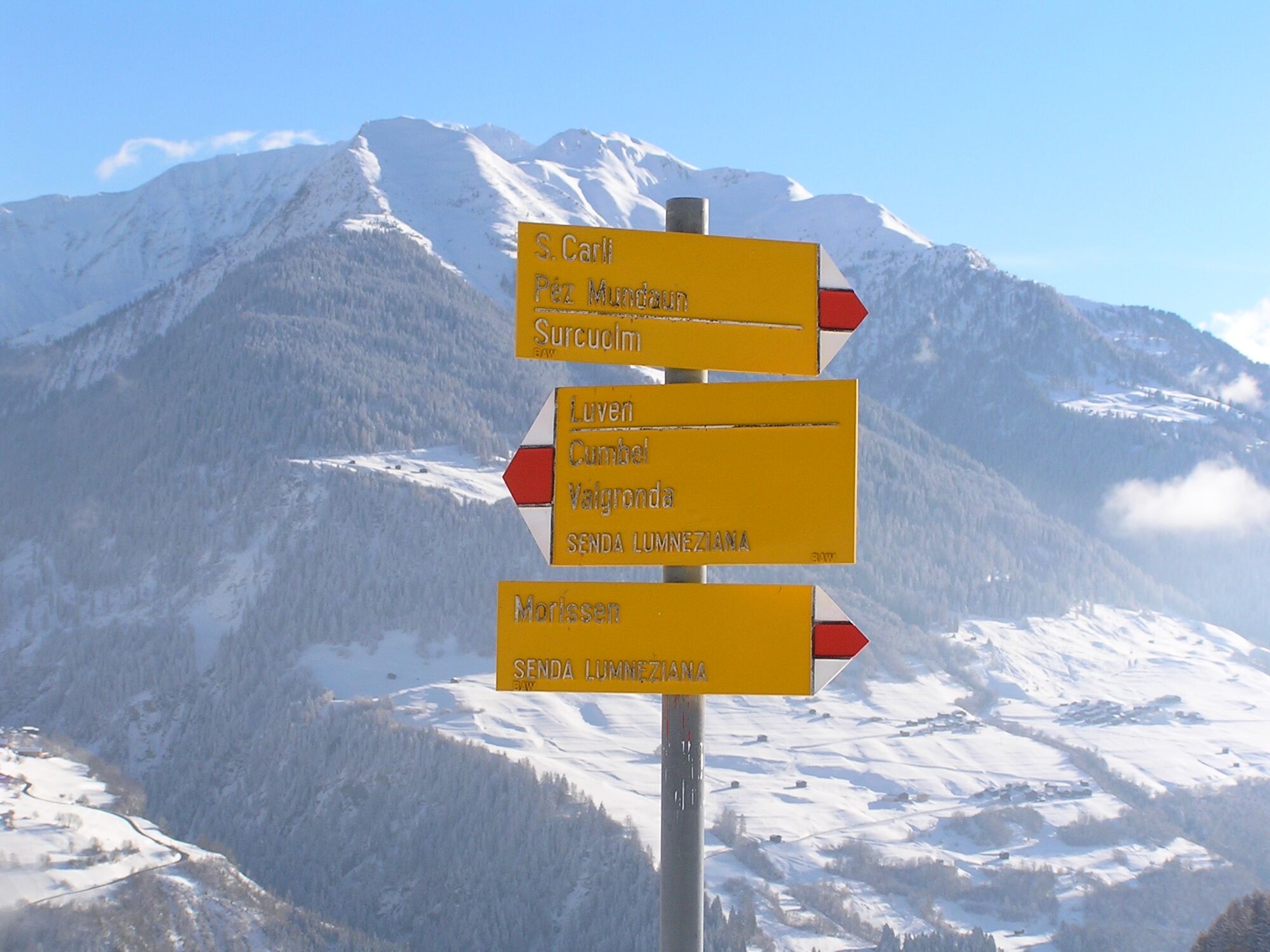
Morissen - Giatreis - S.Carli - Linaus - Morissen
High and sturdy hiking boots or winter boots, warm clothing, sun protection, hiking poles recommended.
In uncertain weather conditions, the route should be avoided. Weather changes in the mountains are frequent. If a bad weather front or similar approaches during the hike, you should turn back in time. We also advise against hiking in dense fog.
Via Chur A3/A13 via Flims to Ilanz to Val Lumnezia
PostBus line 90.441 Ilanz - Vrin and PostBus line 90.443 Morissen-Cuschnaus.
During the winter season, the PostBus on the Ilanz – Vrin line as well as on other lines throughout the Lumnezia municipality can be used free of charge by everyone.
Lumnezia bus (municipal winter sports bus of Lumnezia)
Parking available at the lower edge of the village of Morissen.
2
Extend the hike with a detour to the idyllic chapel of S.Carli.
Webbkameror för rundturen
Populära turer i närområdet
-
4,5
4-lake hike
MediumVandring 12,8 km -
4,7
The riverside trail: Trutg dil Flem
MediumTema spår 13,5 km -
4,7
Rhine Gorge Hike: Senda Ruinaulta (659)
ljusVandring 9,39 km -
Piz Fess 2880m, der Stolze
tungVandring 12,8 km -
5,0
High valley Val Frisal
MediumVandring 11,3 km -
4,8
Rheinschlucht: From Ilanz to Versam into the heart of the Rheinschlucht
MediumVandring 11,4 km -
4,3
Round trip hike Falera - Curnius - Alp Dadens - Falera
MediumVandring 11,4 km -
5,0
Staderas - Conn - Rhein Gorge Ruinaulta-Staderas
MediumVandring 19,8 km -
5,0
Rhine Gorge Circular Hike
MediumVandring 11,4 km -
5,0
Hiking route Suspension Bridge Val da Tersnaus
MediumVandring 3,24 km

Vandring och spårning


Missa inte erbjudanden och inspiration inför nästa semester
Din e-postadress har lagts till på e-postlistan.