


Säuleck South Wall Route
Svårighetsgrad: D/E
Foton av våra användare
-
 © Sebastian SkubelSkapad på 08.11.2025
 -
 © Sebastian SkubelSkapad på 08.11.2025
 -
 © Sebastian SkubelSkapad på 08.11.2025
 -
 © Sebastian SkubelSkapad på 08.11.2025
 -
 © Sebastian SkubelSkapad på 08.11.2025
 -
 © Sebastian SkubelSkapad på 08.11.2025
 -
 © Sebastian SkubelSkapad på 08.11.2025
 -
 © Sebastian SkubelSkapad på 08.11.2025
 -
 © Sebastian SkubelSkapad på 08.11.2025
 -
 © Sebastian SkubelSkapad på 08.11.2025
 -
 © Sebastian SkubelSkapad på 08.11.2025
 -
 © Sebastian SkubelSkapad på 08.11.2025
 -
 © Sebastian SkubelSkapad på 08.11.2025
 -
 © Sebastian SkubelSkapad på 08.11.2025
 -
 © Sebastian SkubelSkapad på 08.11.2025
 -
 © Damir HabušSkapad på 17.08.2025
 -
 © Damir HabušSkapad på 17.08.2025
 -
 © Damir HabušSkapad på 17.08.2025
 -
 © Damir HabušSkapad på 17.08.2025
 -
 © Damir HabušSkapad på 17.08.2025
 -
 © Damir HabušSkapad på 16.08.2025
 -
 © Damir HabušSkapad på 16.08.2025
 -
 © Damir HabušSkapad på 16.08.2025
 -
 © Damir HabušSkapad på 16.08.2025
 -
 © Damir HabušSkapad på 16.08.2025
 -
 © Damir HabušSkapad på 16.08.2025
 -
 © Damir HabušSkapad på 16.08.2025
 -
 © Damir HabušSkapad på 16.08.2025
 -
 © Damir HabušSkapad på 16.08.2025
 -
 © Damir HabušSkapad på 16.08.2025
 -
 © Damir HabušSkapad på 16.08.2025
 -
 © Anita ObermoserSkapad på 05.09.2025
 -
 © Anita ObermoserSkapad på 05.09.2025
 -
 © Anita ObermoserSkapad på 04.09.2025
 -
 © Anita ObermoserSkapad på 04.09.2025
 -
 © Anita ObermoserSkapad på 04.09.2025
 -
 © Anita ObermoserSkapad på 04.09.2025
 -
 © Anita ObermoserSkapad på 04.09.2025
 -
 © Anita ObermoserSkapad på 04.09.2025
 -
 © Anita ObermoserSkapad på 04.09.2025
 -
 © Anita ObermoserSkapad på 04.09.2025
 -
 © Anita ObermoserSkapad på 04.09.2025
 -
 © Anita ObermoserSkapad på 04.09.2025
 -
 © Anita ObermoserSkapad på 04.09.2025
 -
 © Anita ObermoserSkapad på 04.09.2025
 -
 © Anita ObermoserSkapad på 04.09.2025
 -
 © Anita ObermoserSkapad på 04.09.2025
 -
 © Anita ObermoserSkapad på 04.09.2025


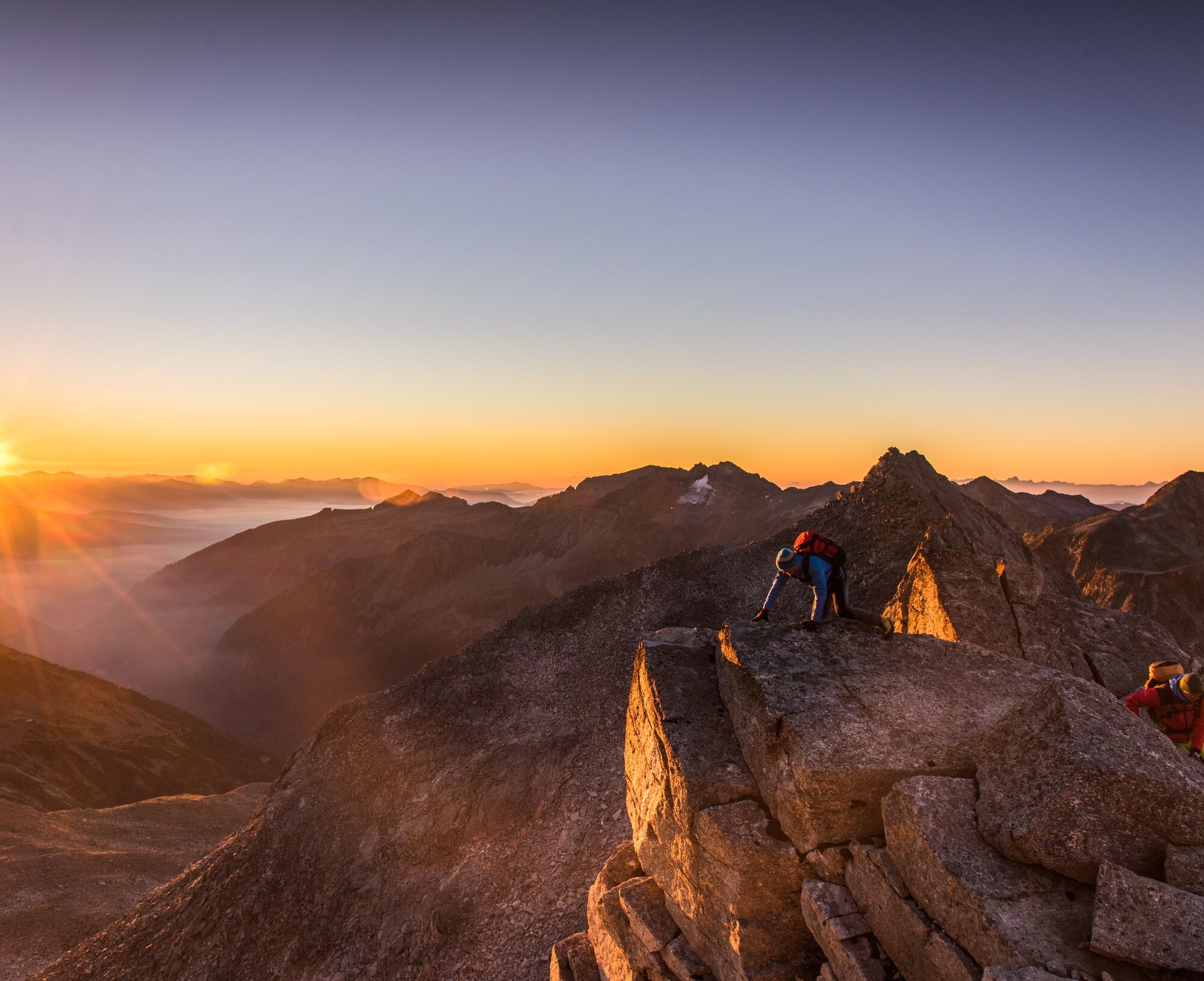
Regarding the difficulty of the Säuleck via ferrata, opinions vary: originally rated "C" by the builder, rating proposals quickly rose to "E". Two circumstances are particularly noteworthy:
- The via ferrata...
Regarding the difficulty of the Säuleck via ferrata, opinions vary: originally rated "C" by the builder, rating proposals quickly rose to "E". Two circumstances are particularly noteworthy:
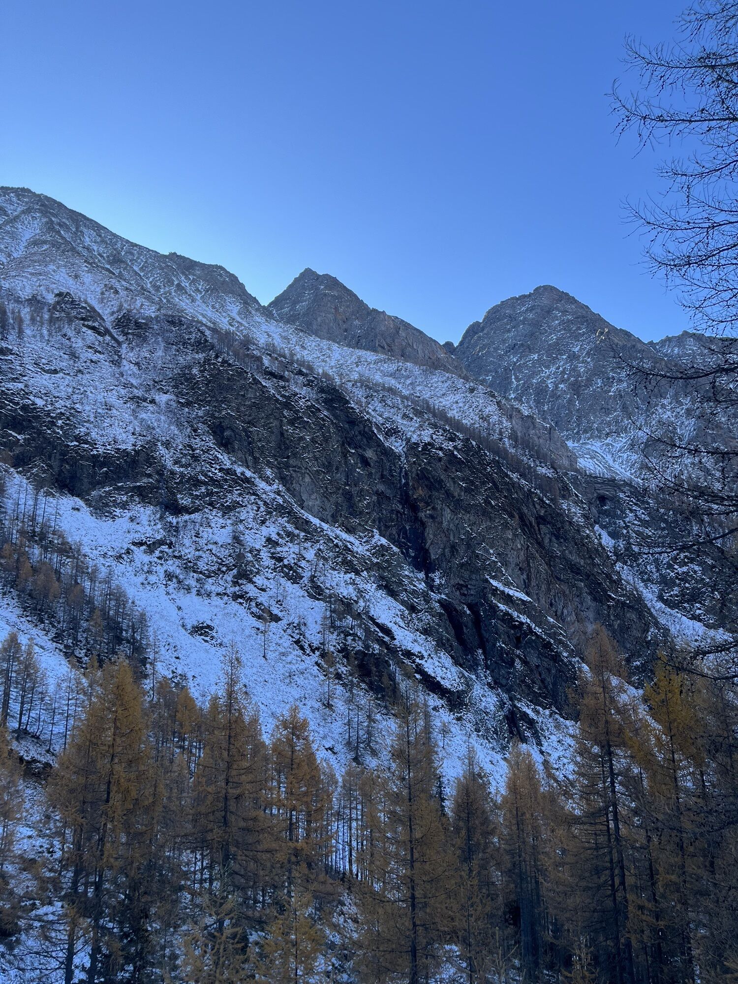
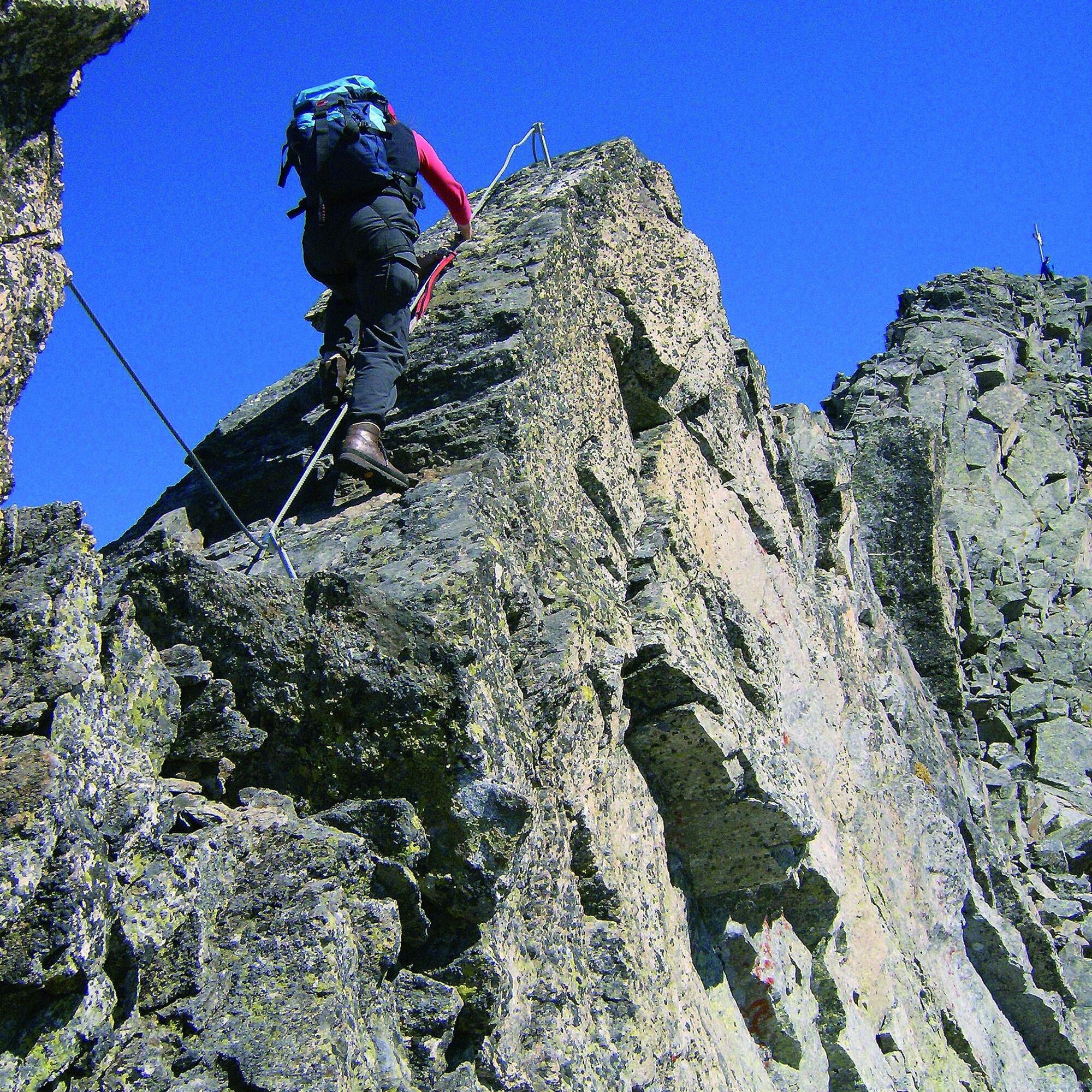
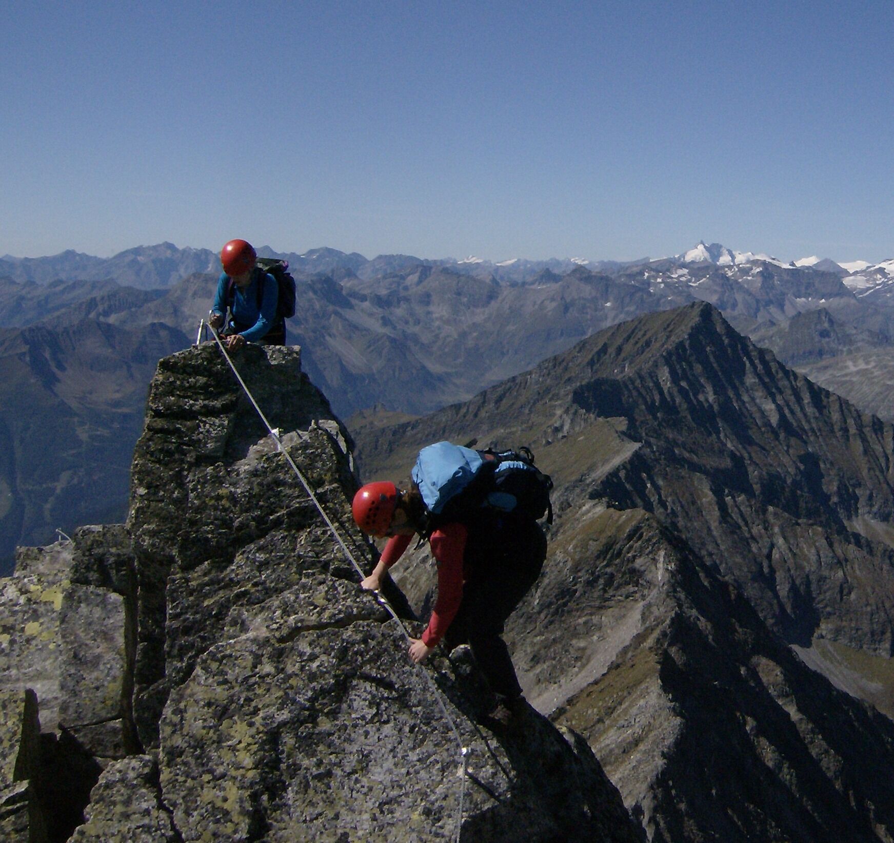
- The via ferrata in the core zone of the Hohe Tauern National Park was built without step pins or similar aids. Therefore, a clean foot technique is especially required. It is also often useful to use the natural holds on the rock. Anyone who only pulls themselves up on the steel cable will soon complain about tired upper arms!
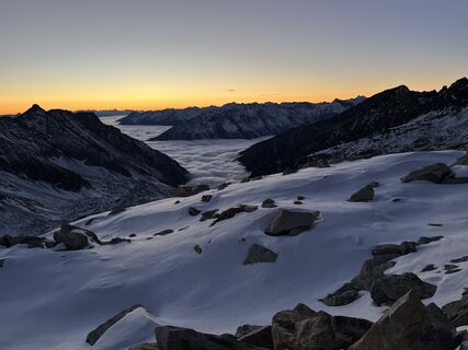
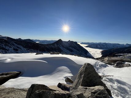
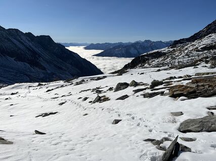
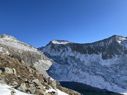
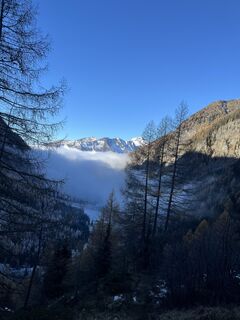
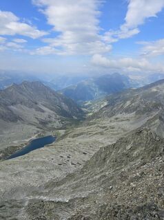
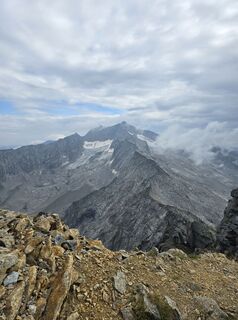
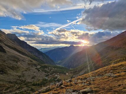
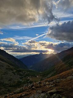
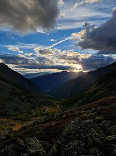
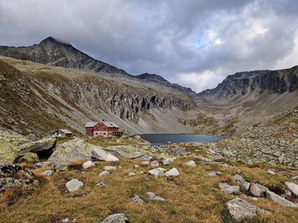
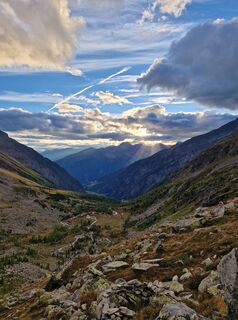
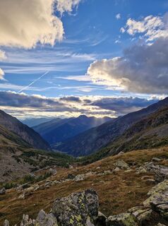
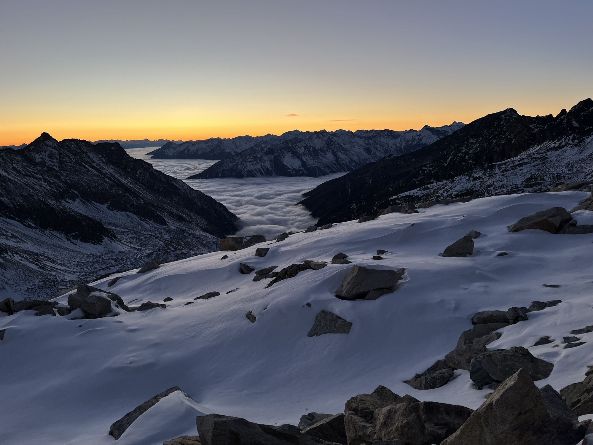
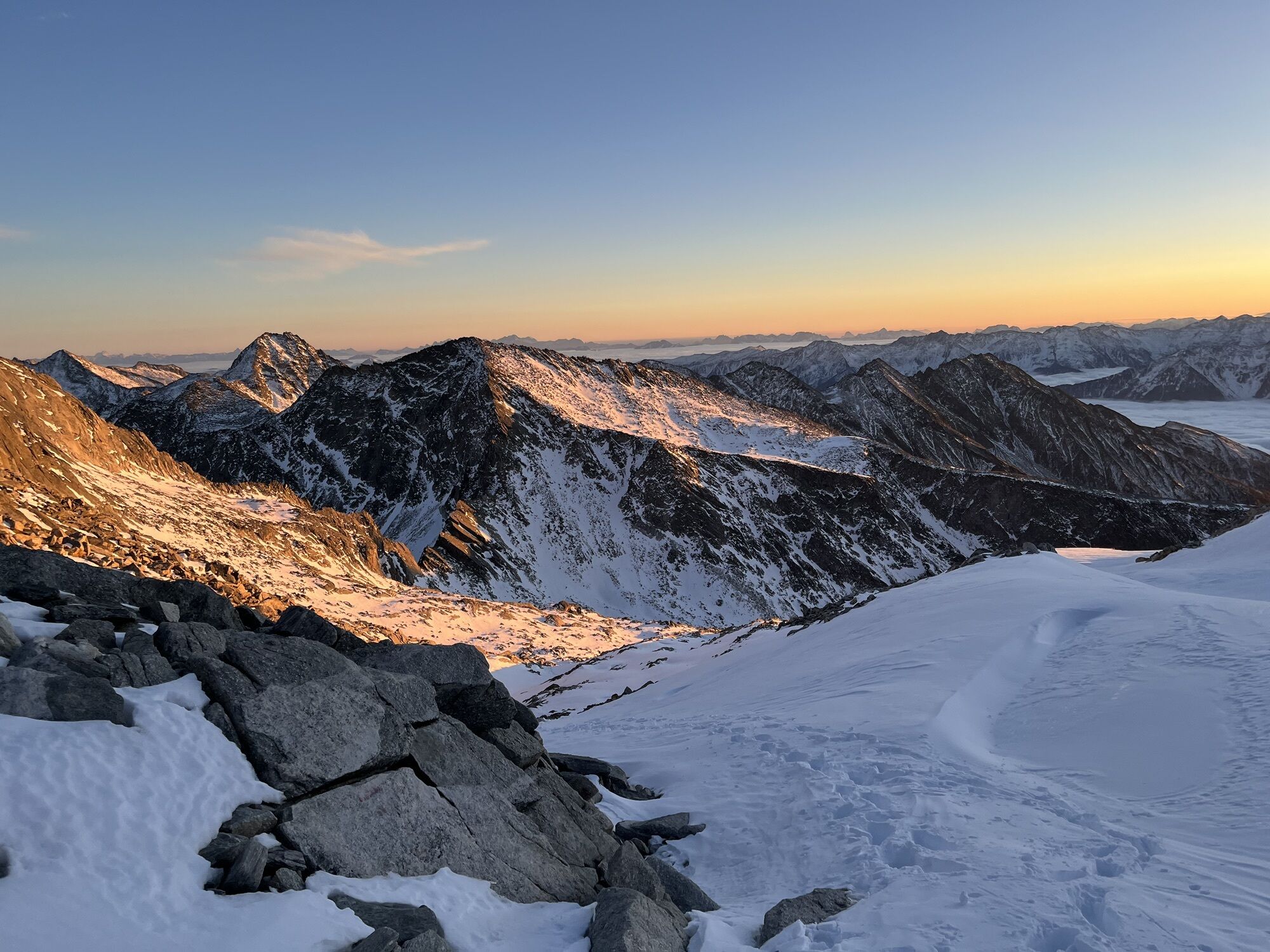
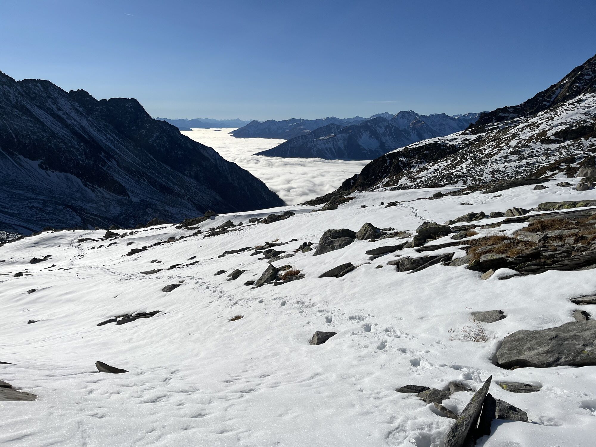
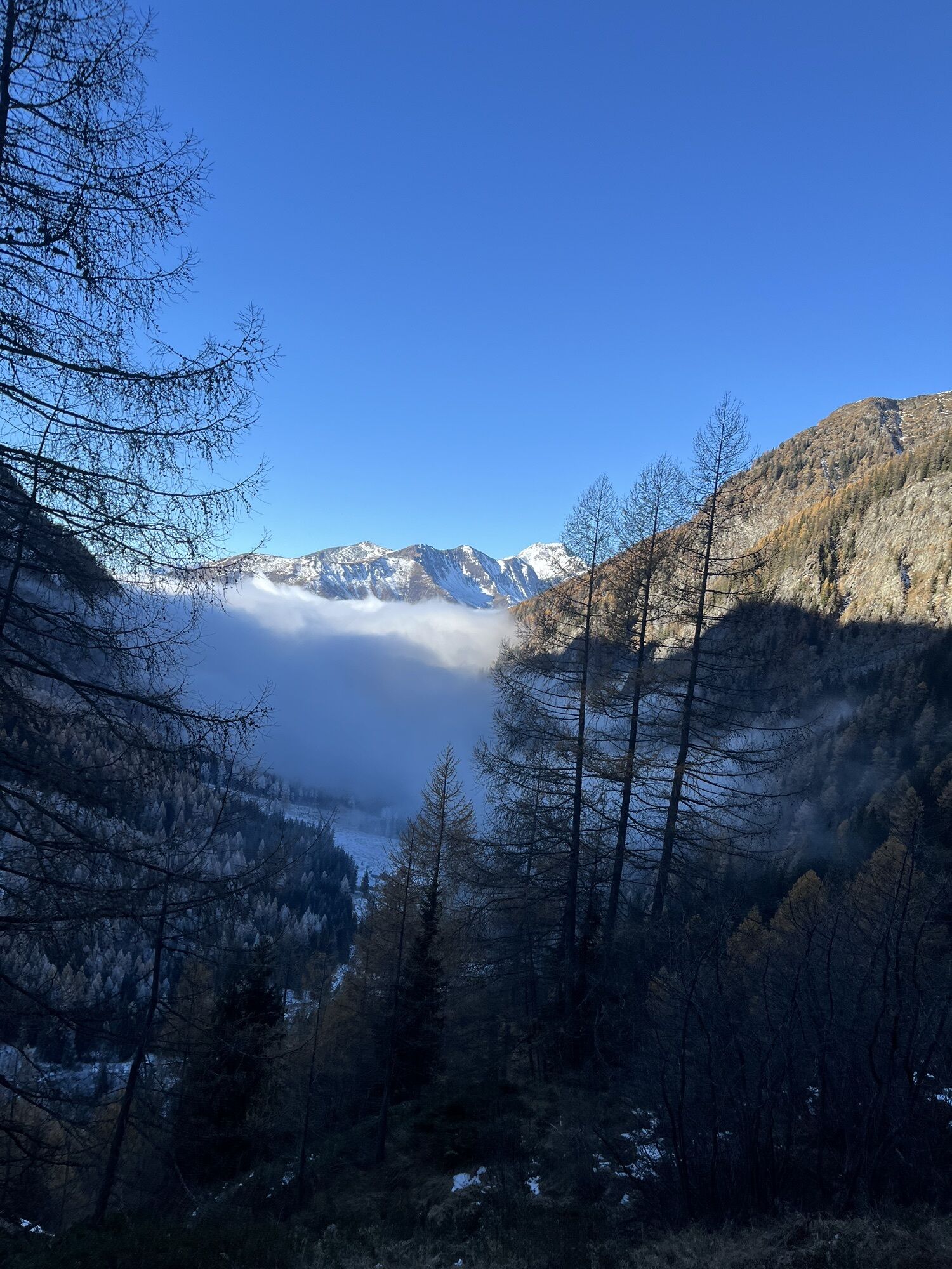
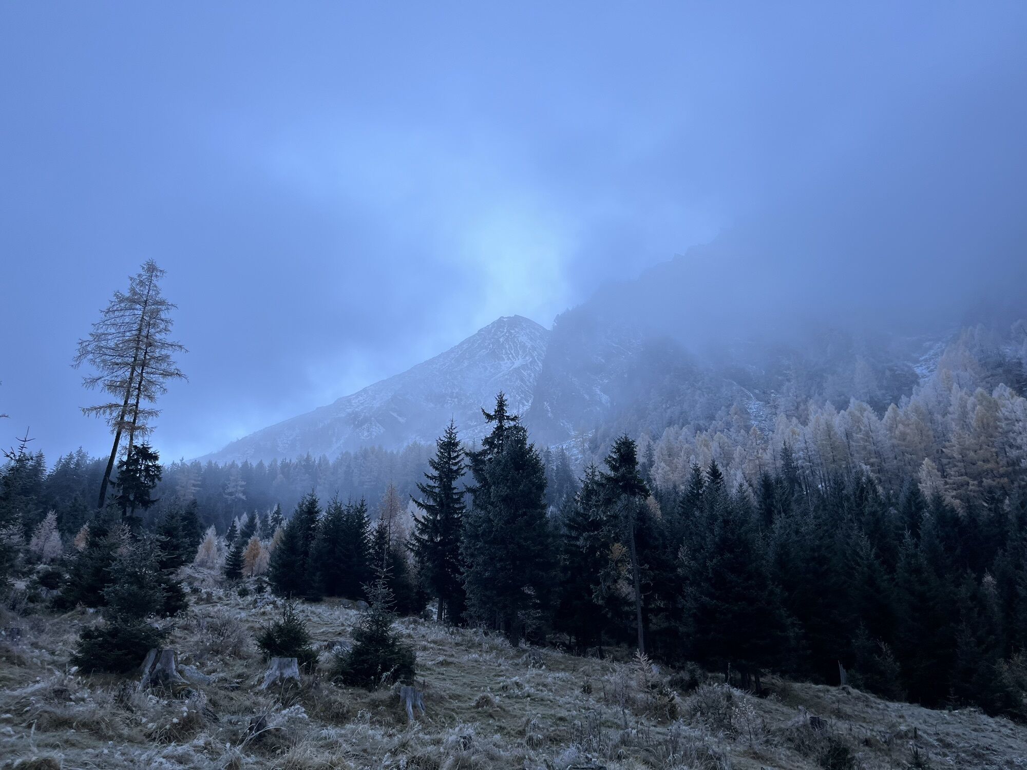
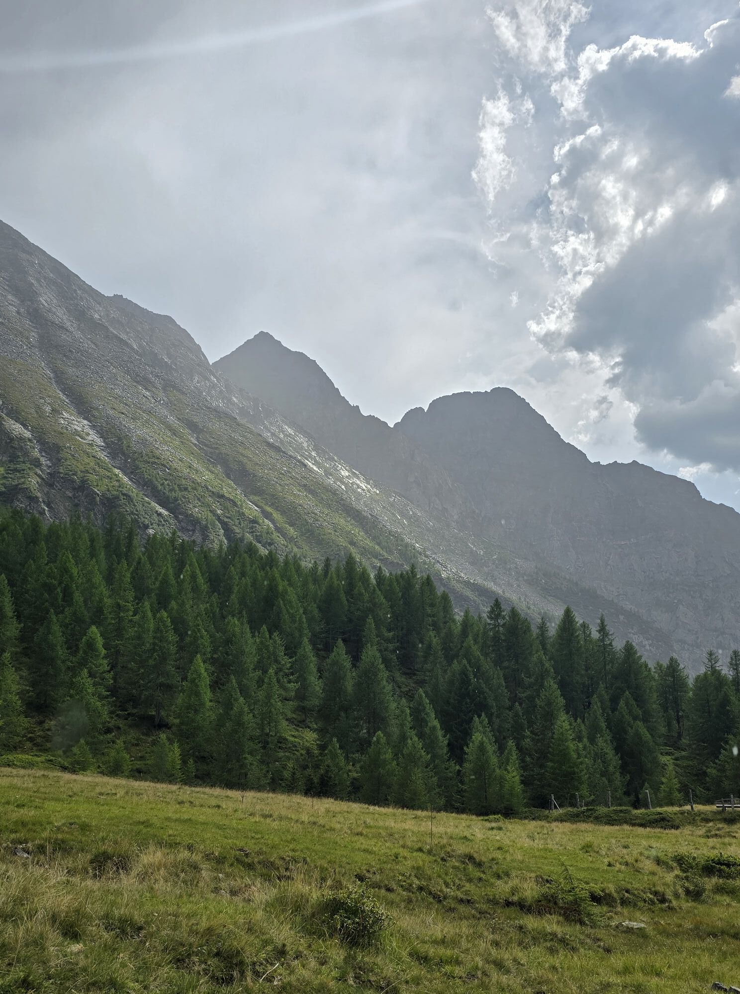
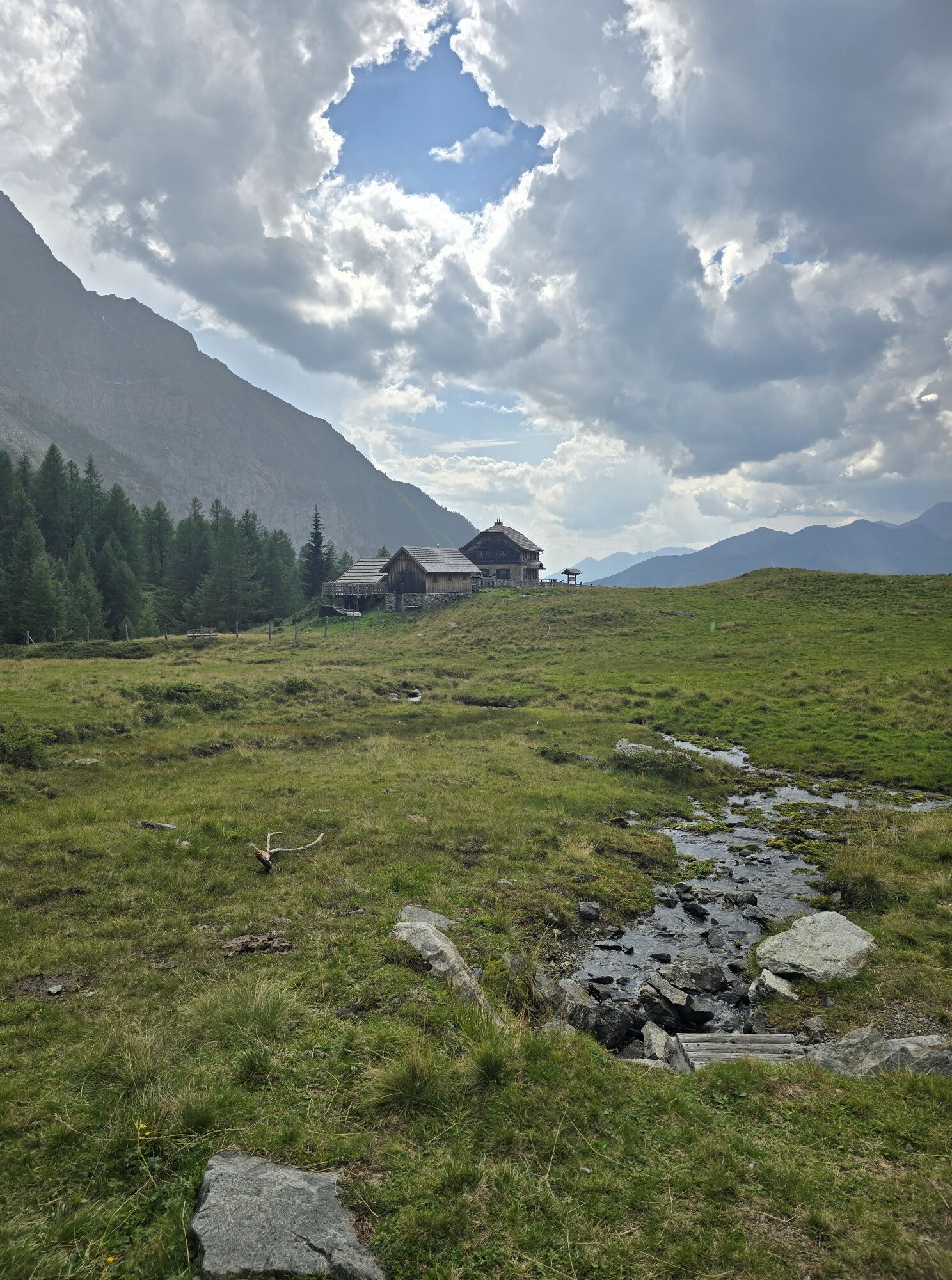
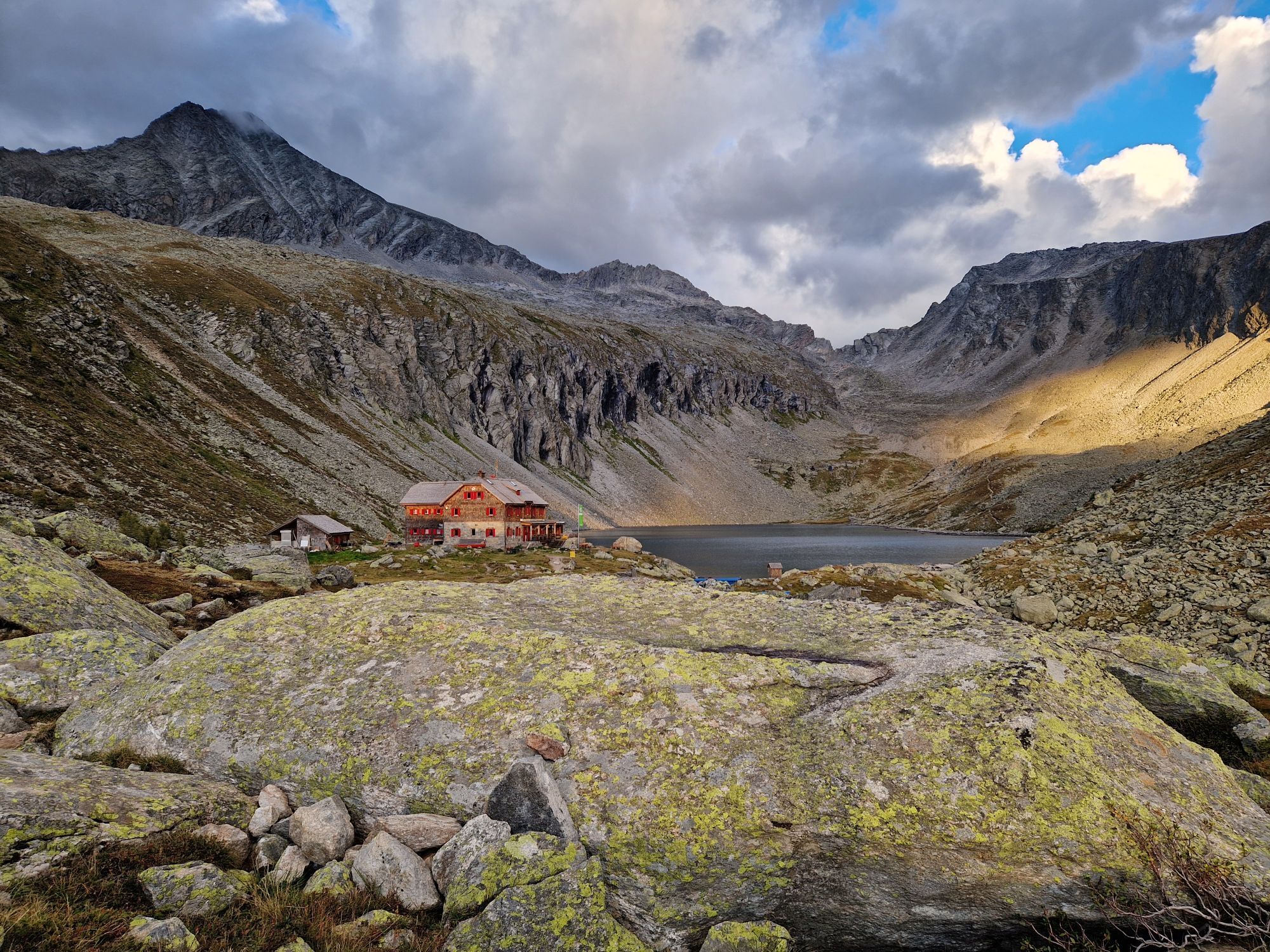
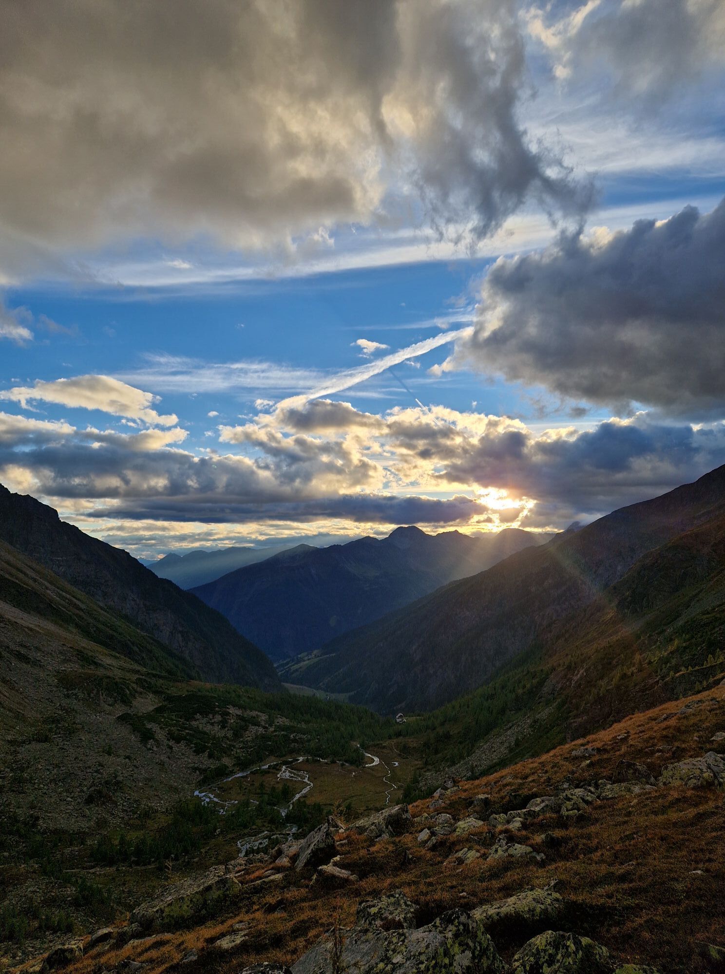
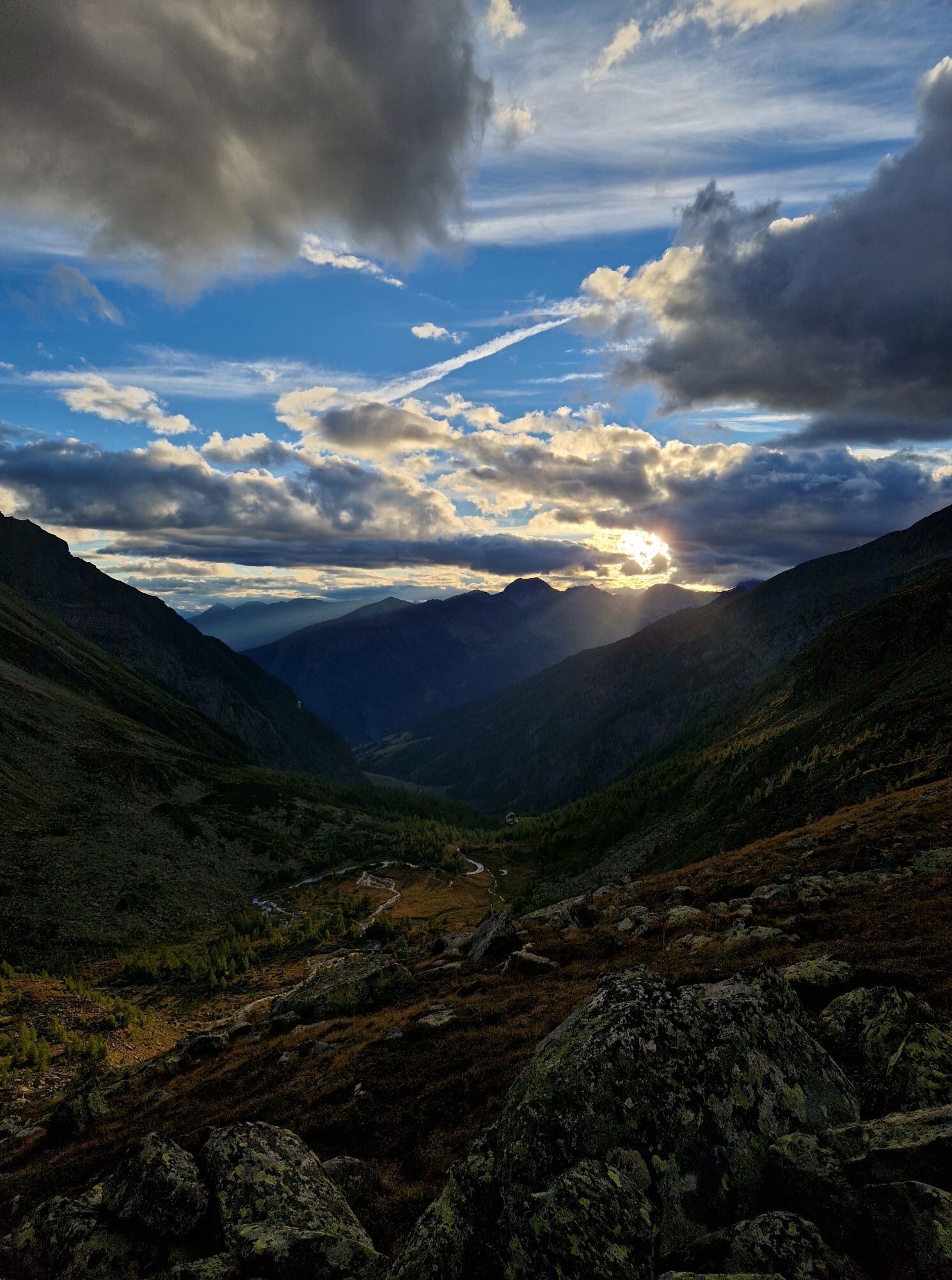
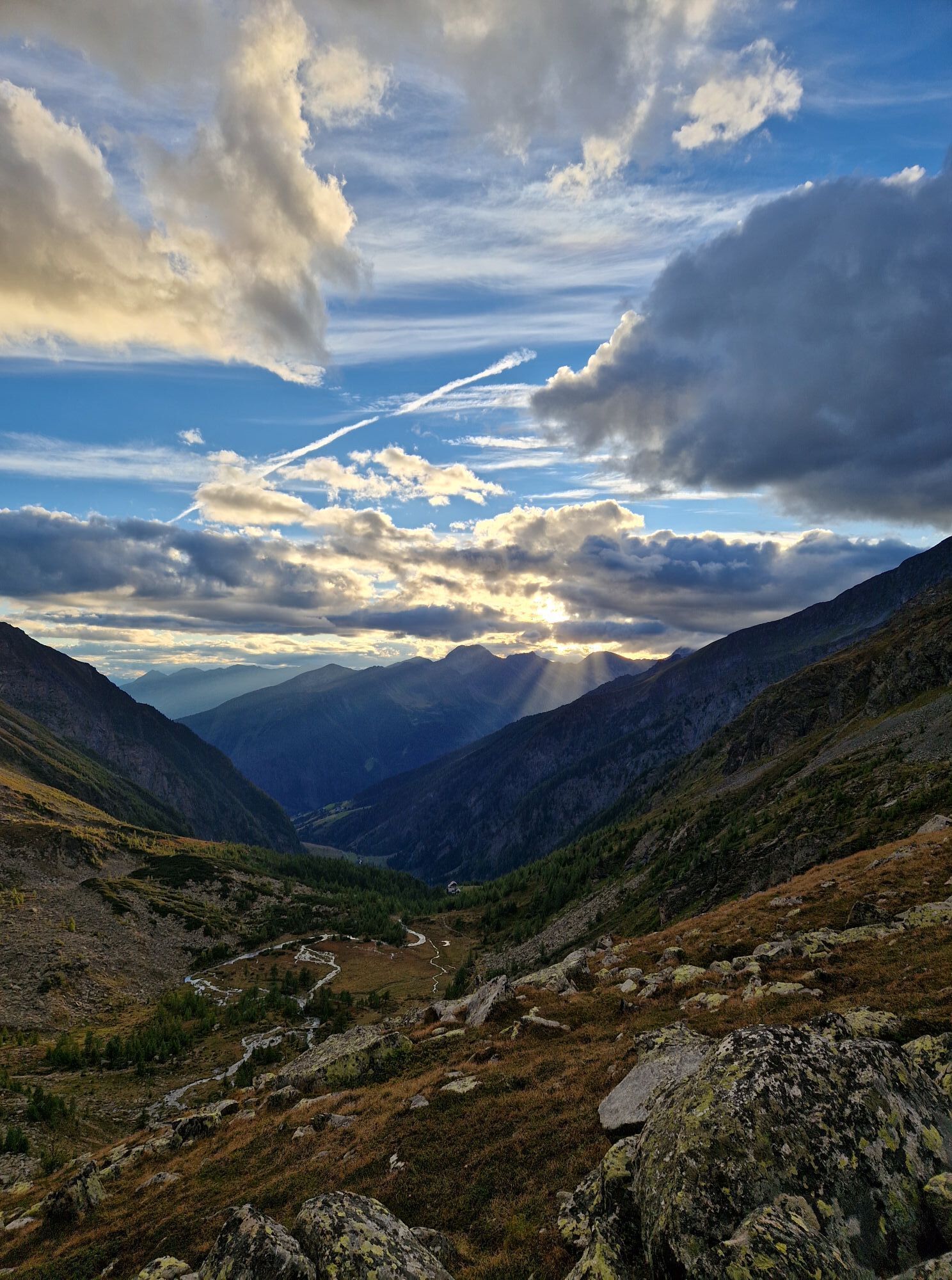
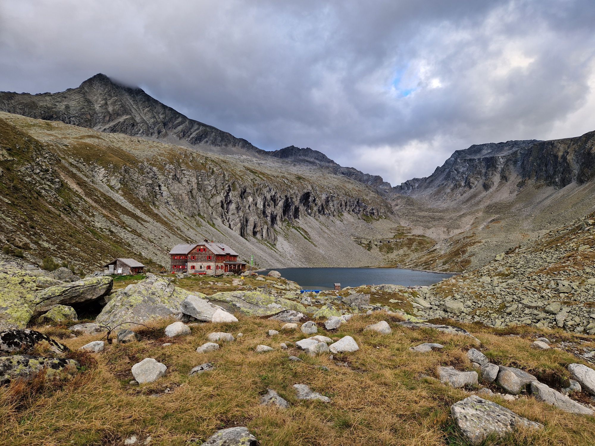
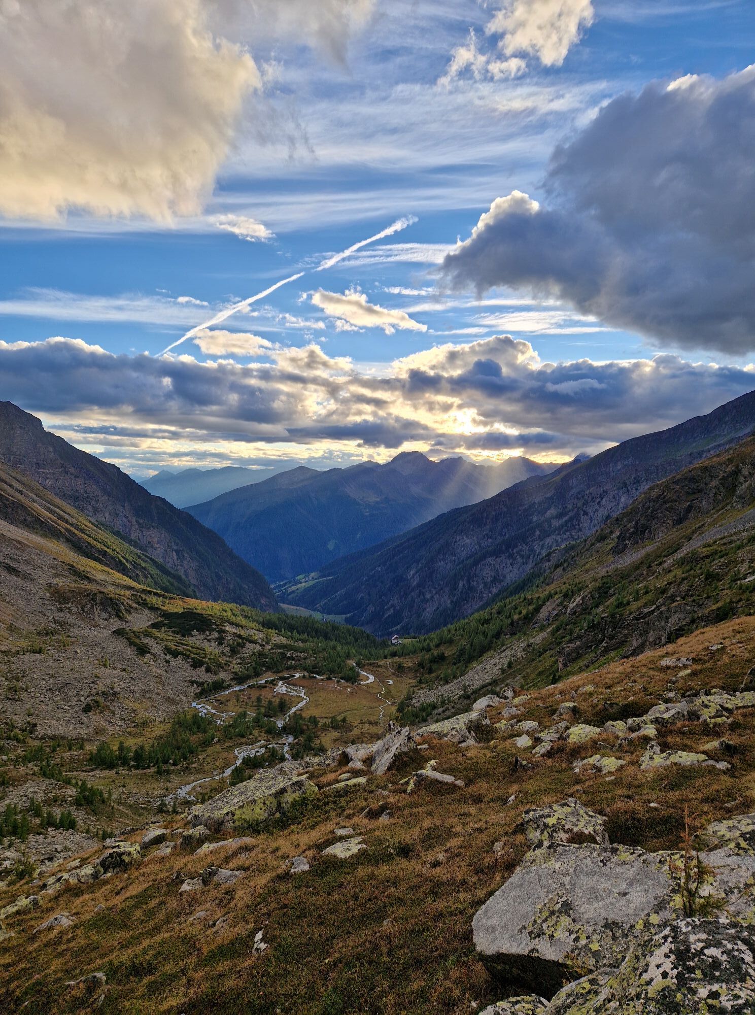
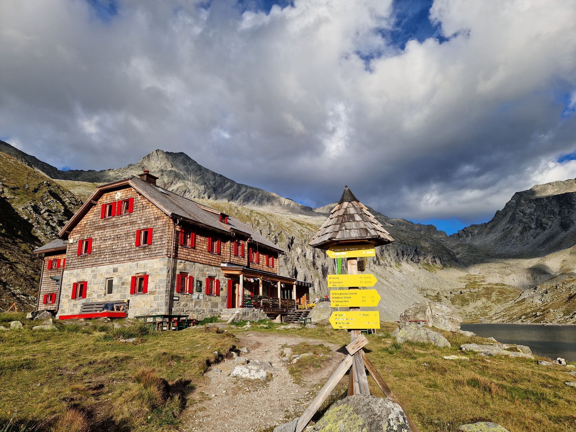
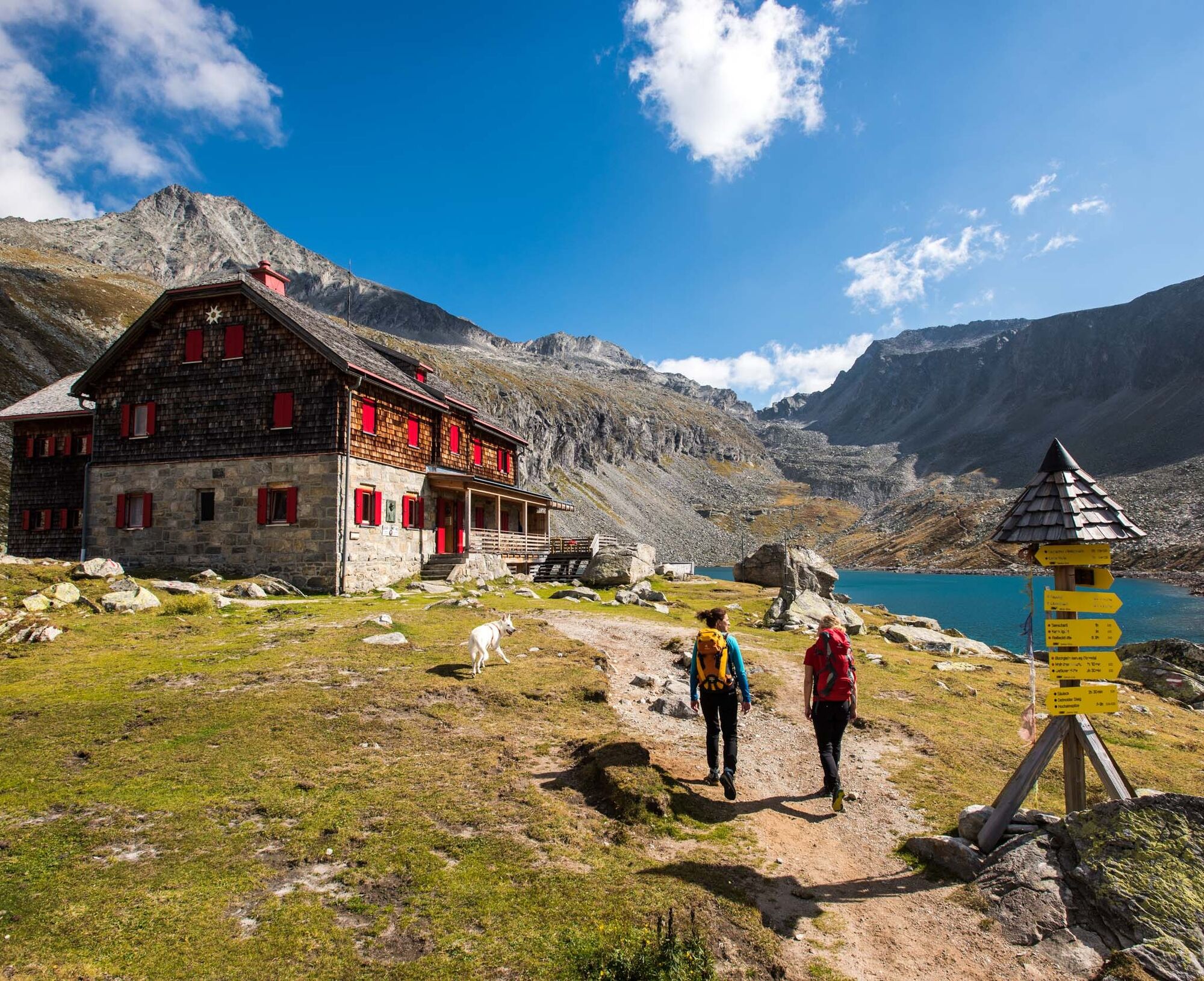
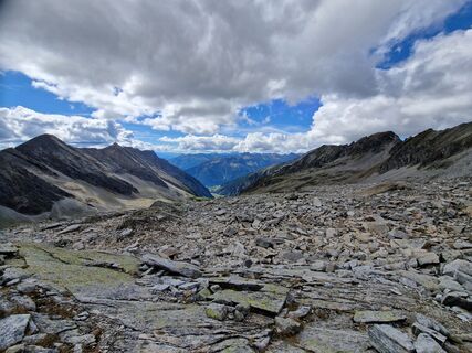
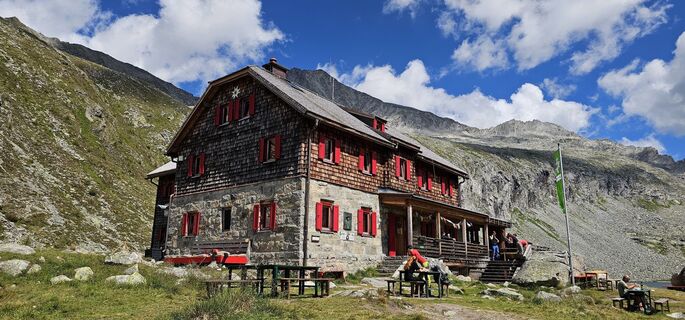
- The via ferrata is located in a high alpine environment. The approach from the valley alone, with 1,300 meters of elevation gain, is a mountain tour in itself, which is why an overnight stay in the Arthur-von-Schmidhaus is highly recommended! Furthermore, factors such as altitude, weather, and personal fitness must be included in the tour planning.
Those who take this into account will find a wonderful via ferrata experience in magnificent surroundings!
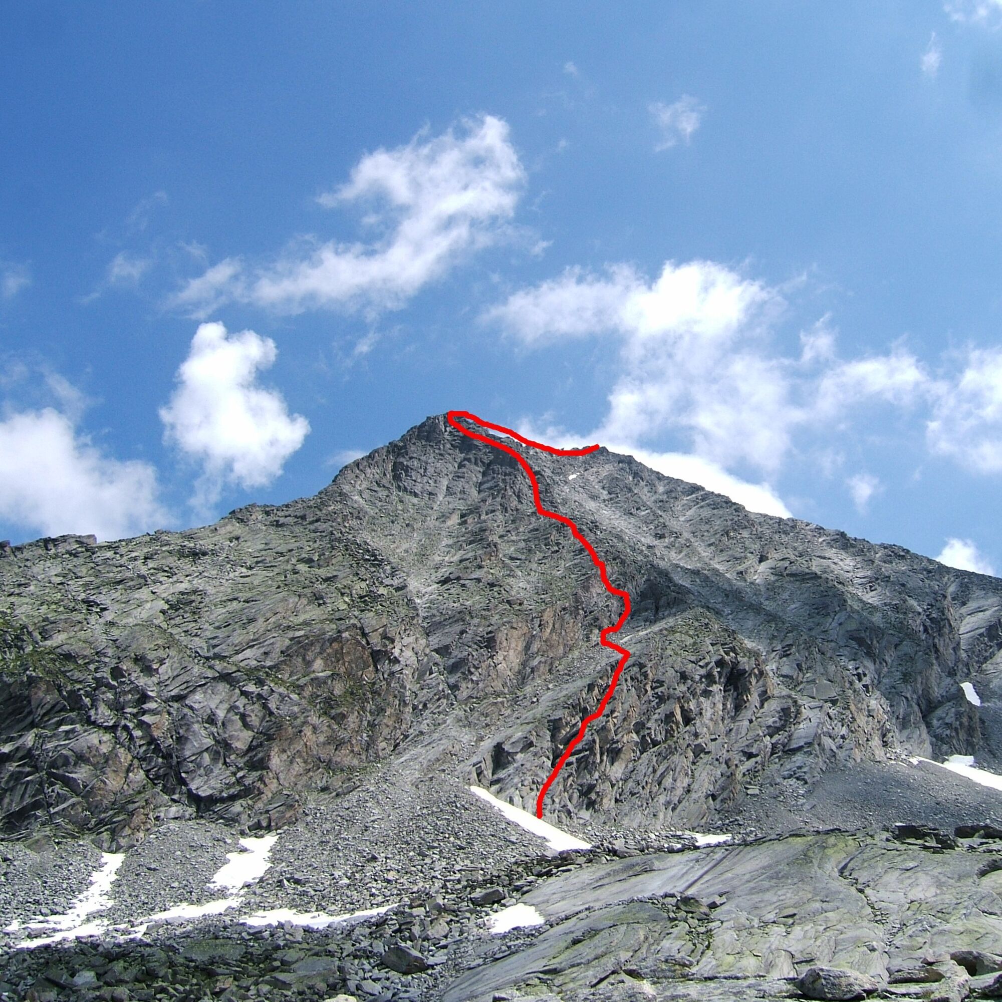
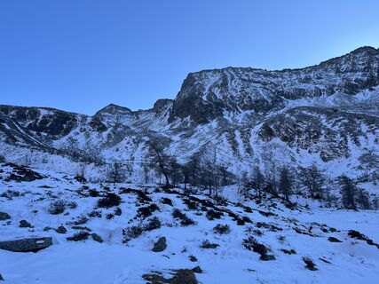
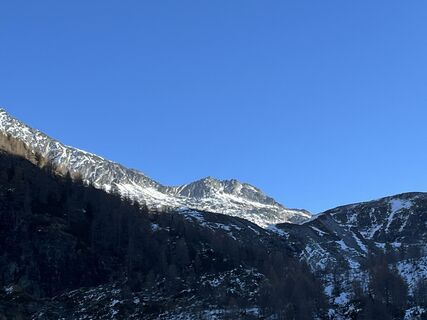
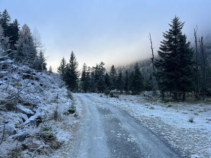
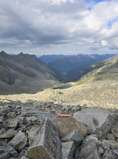
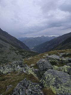
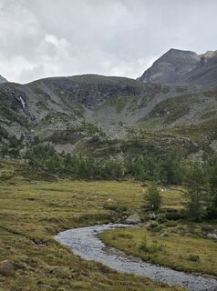
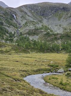
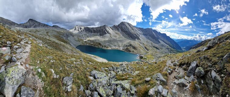
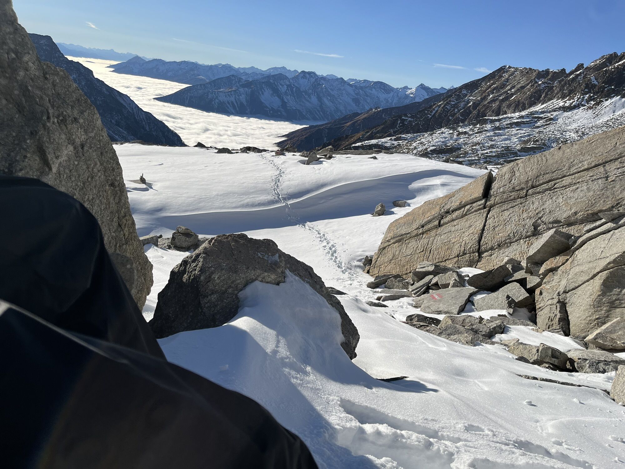
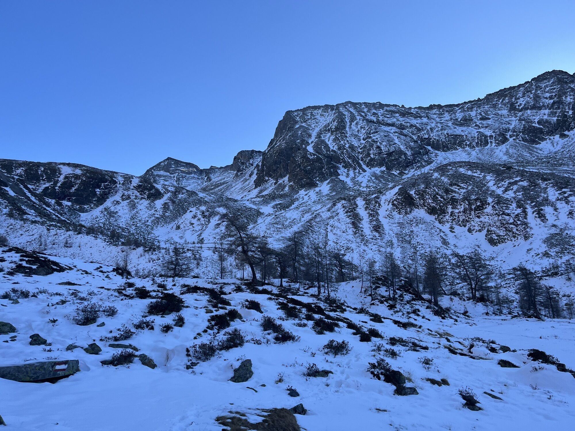
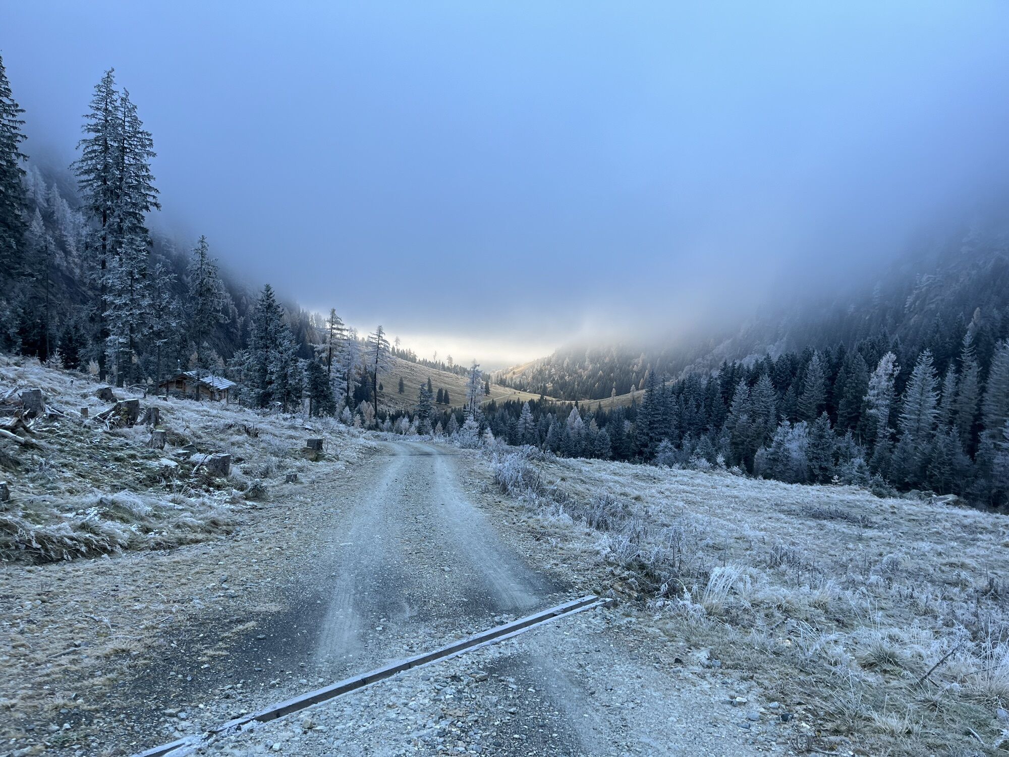
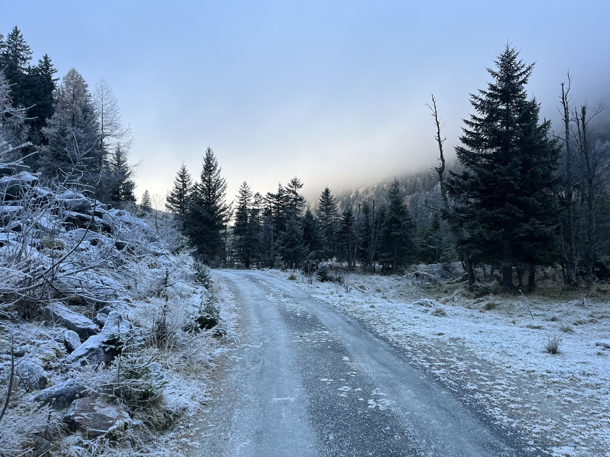
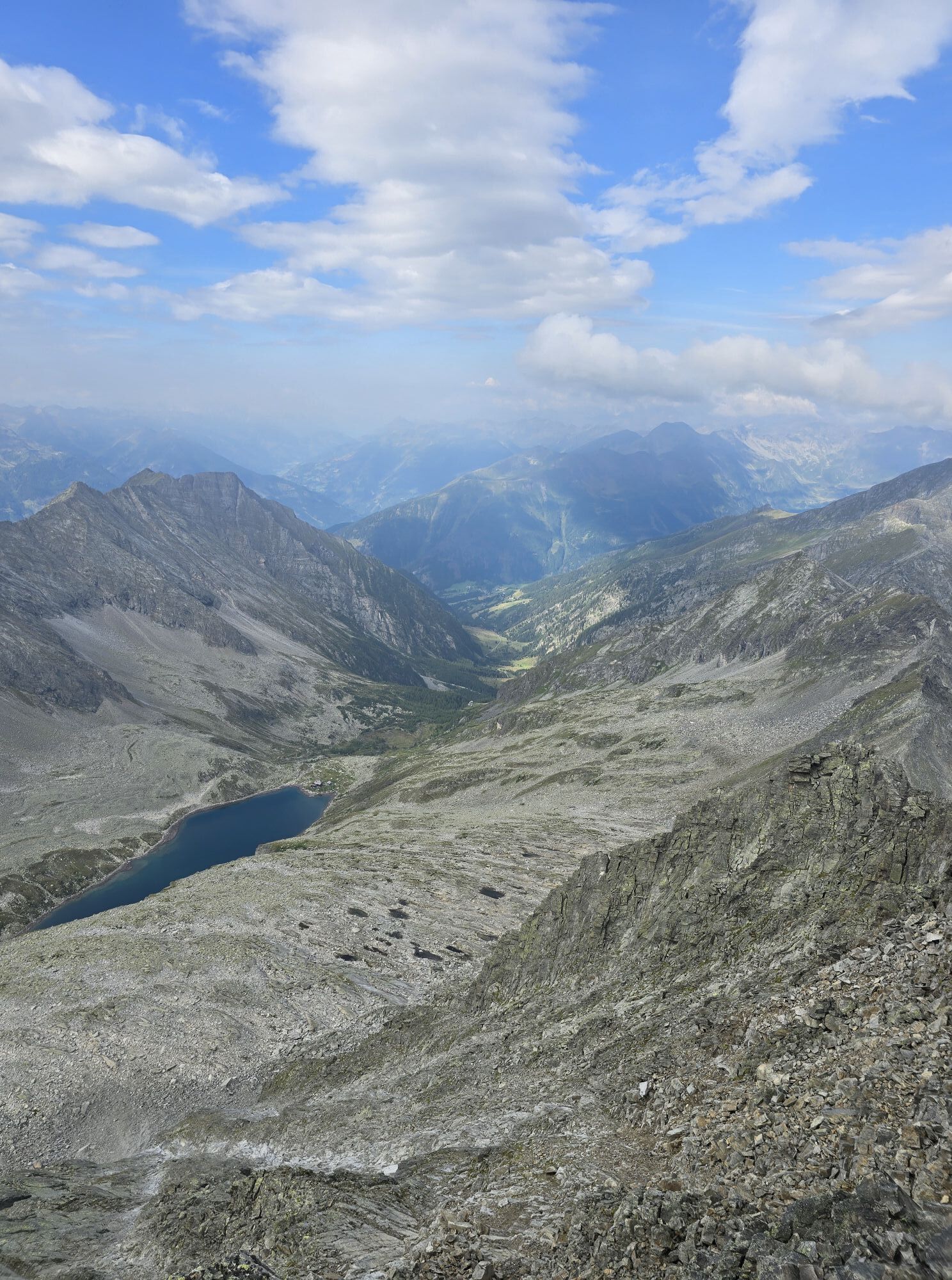
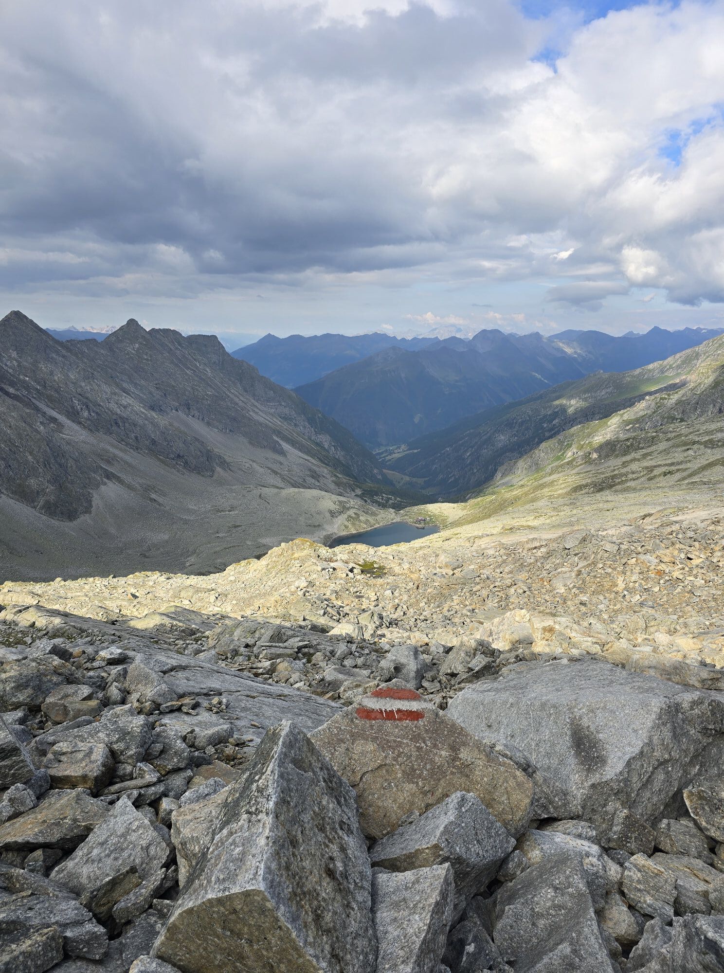
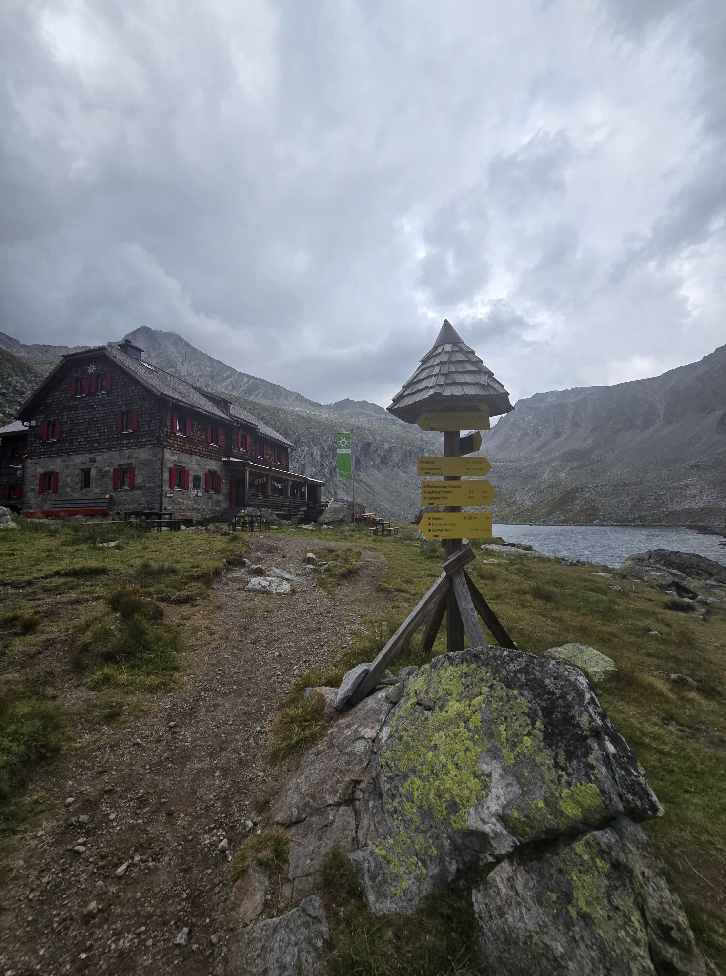
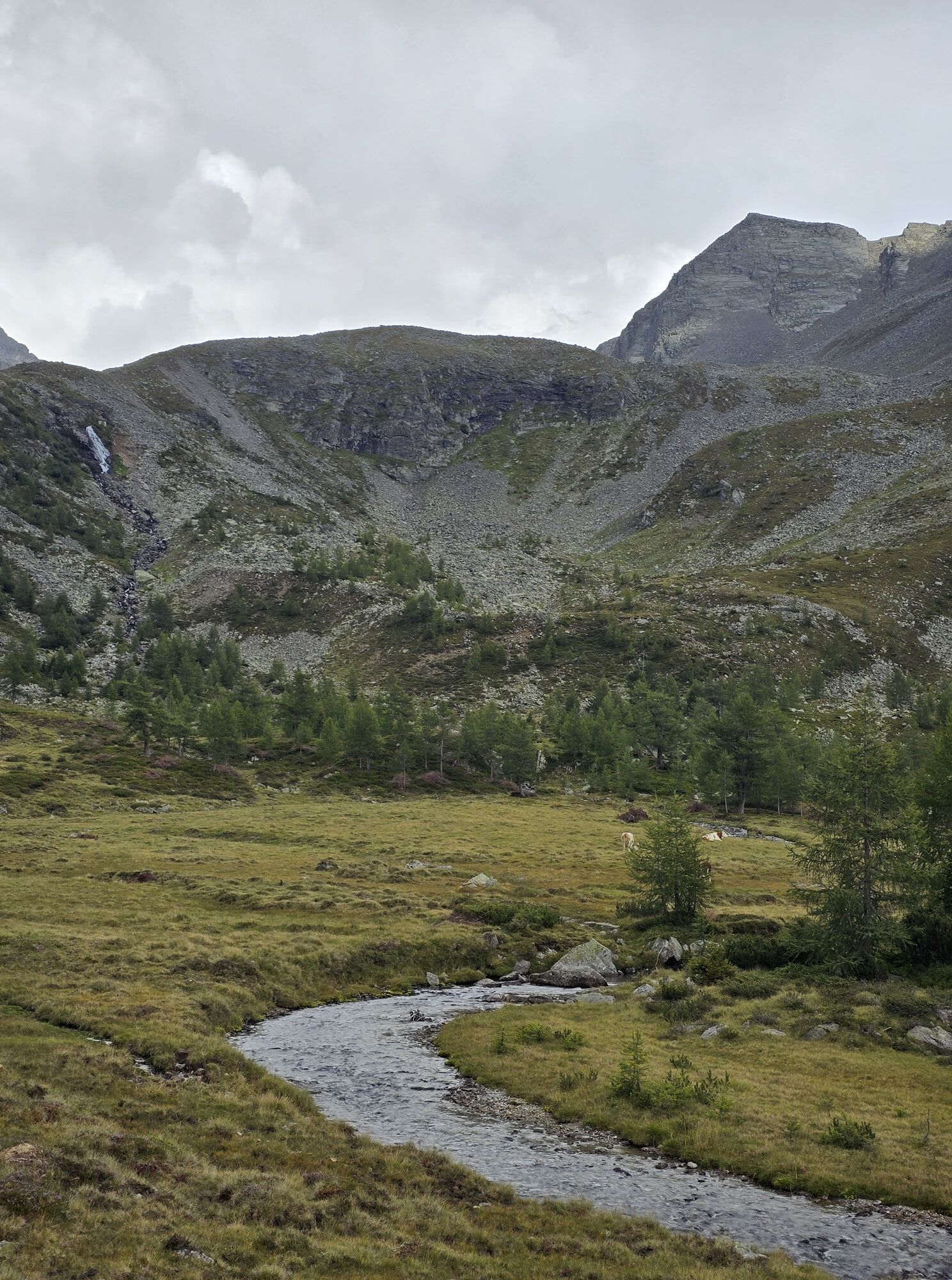
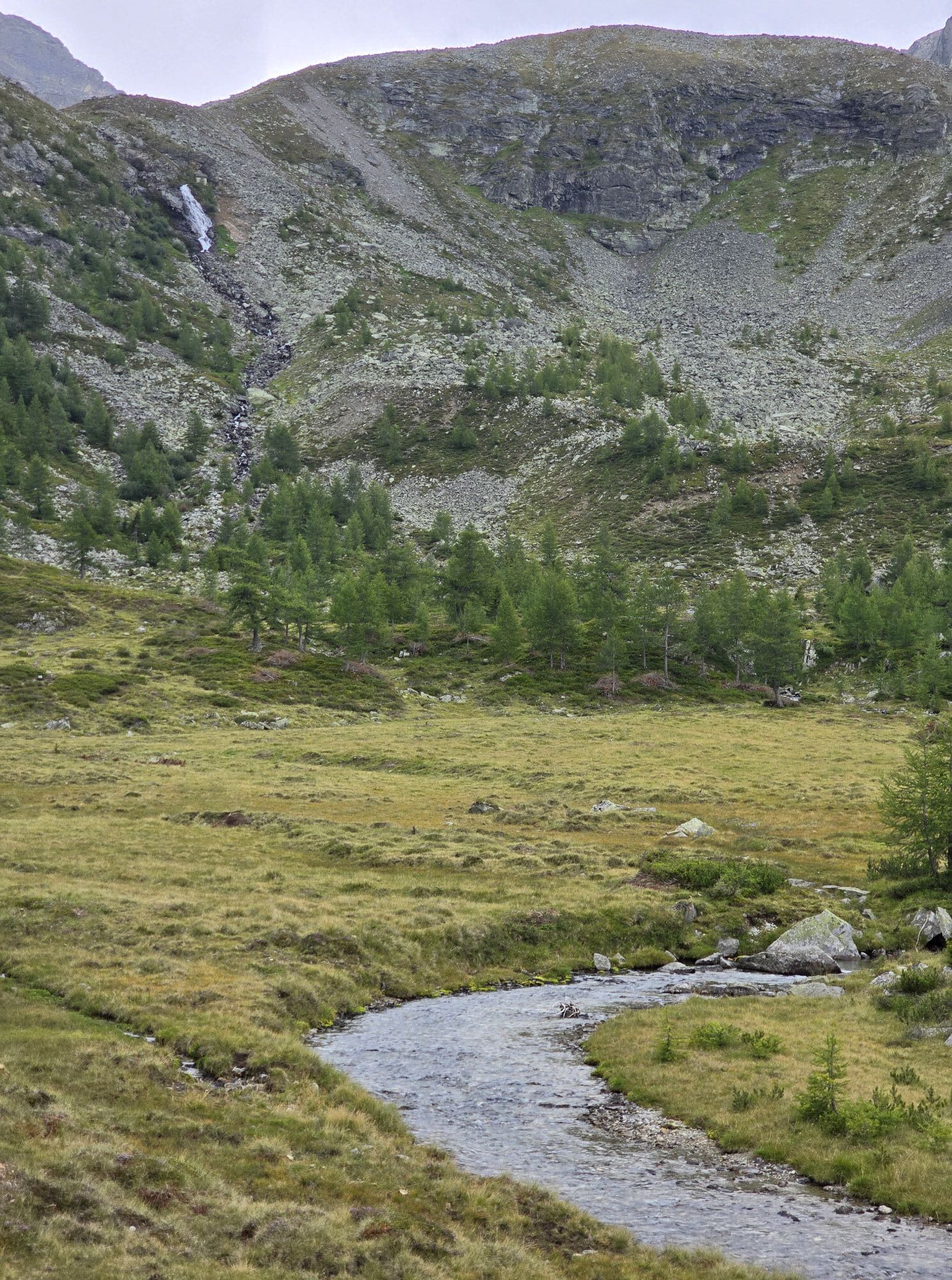
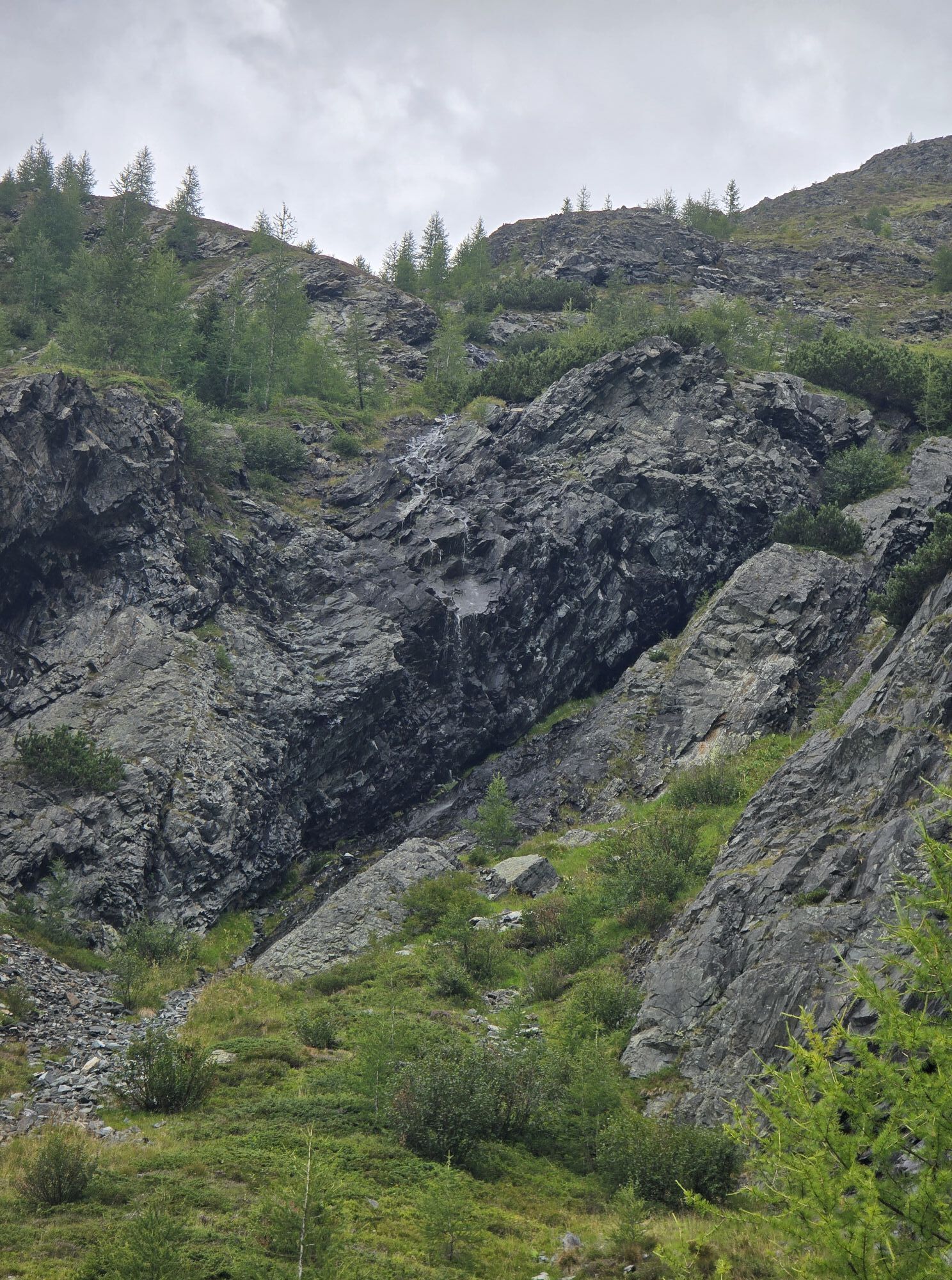
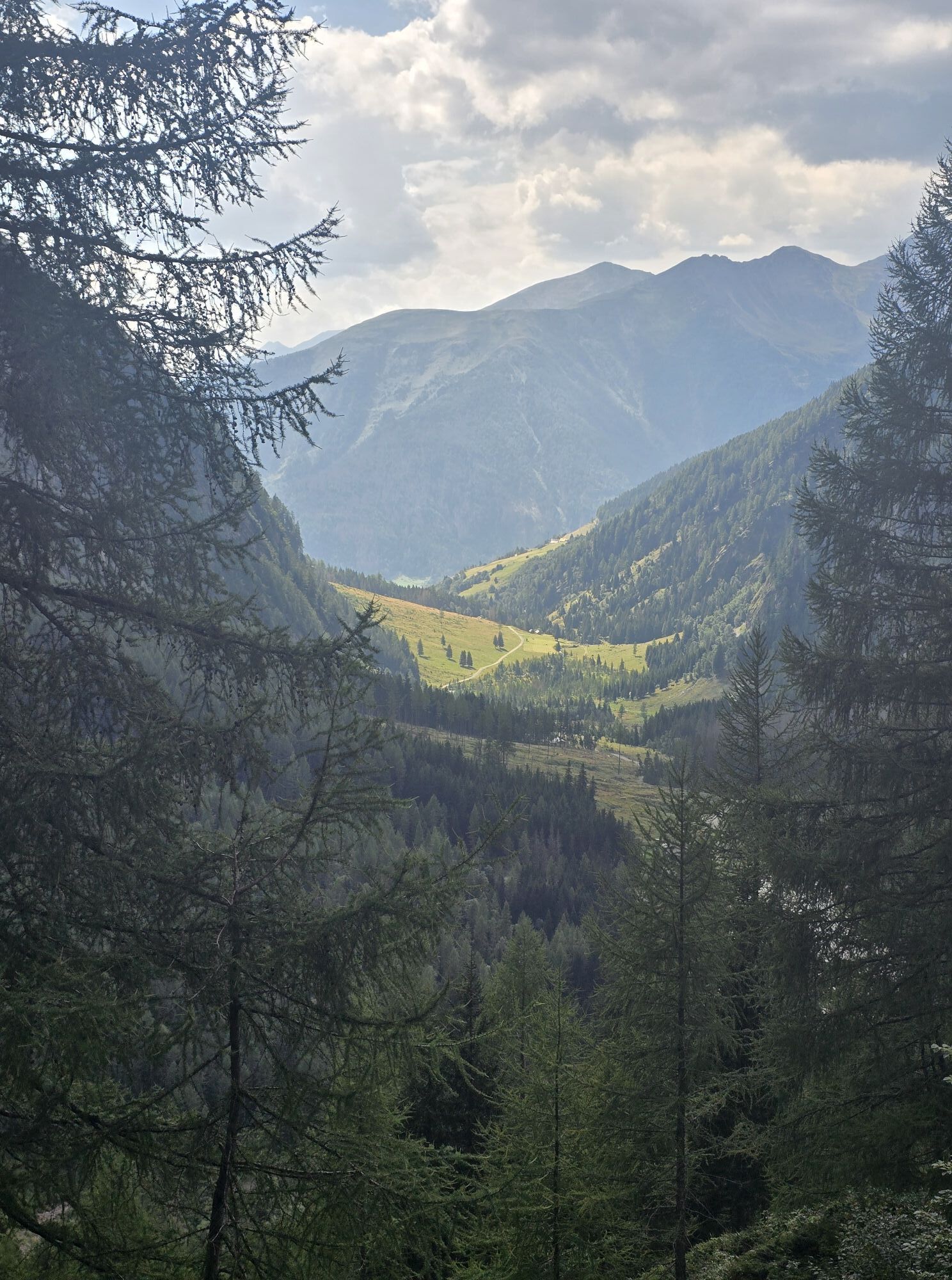
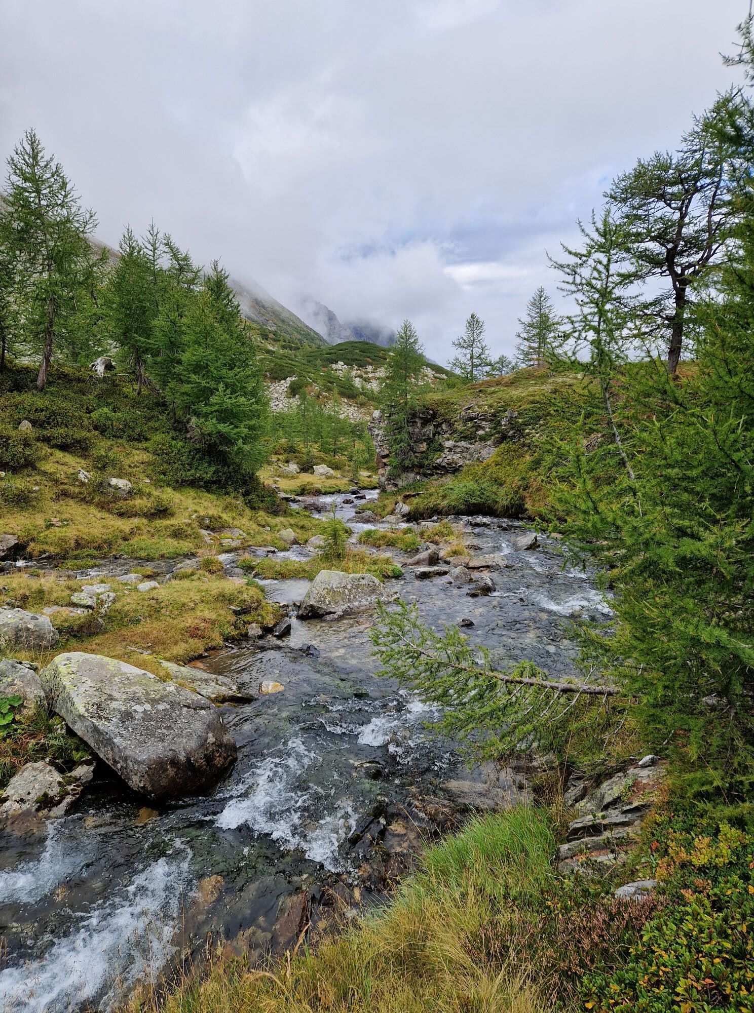
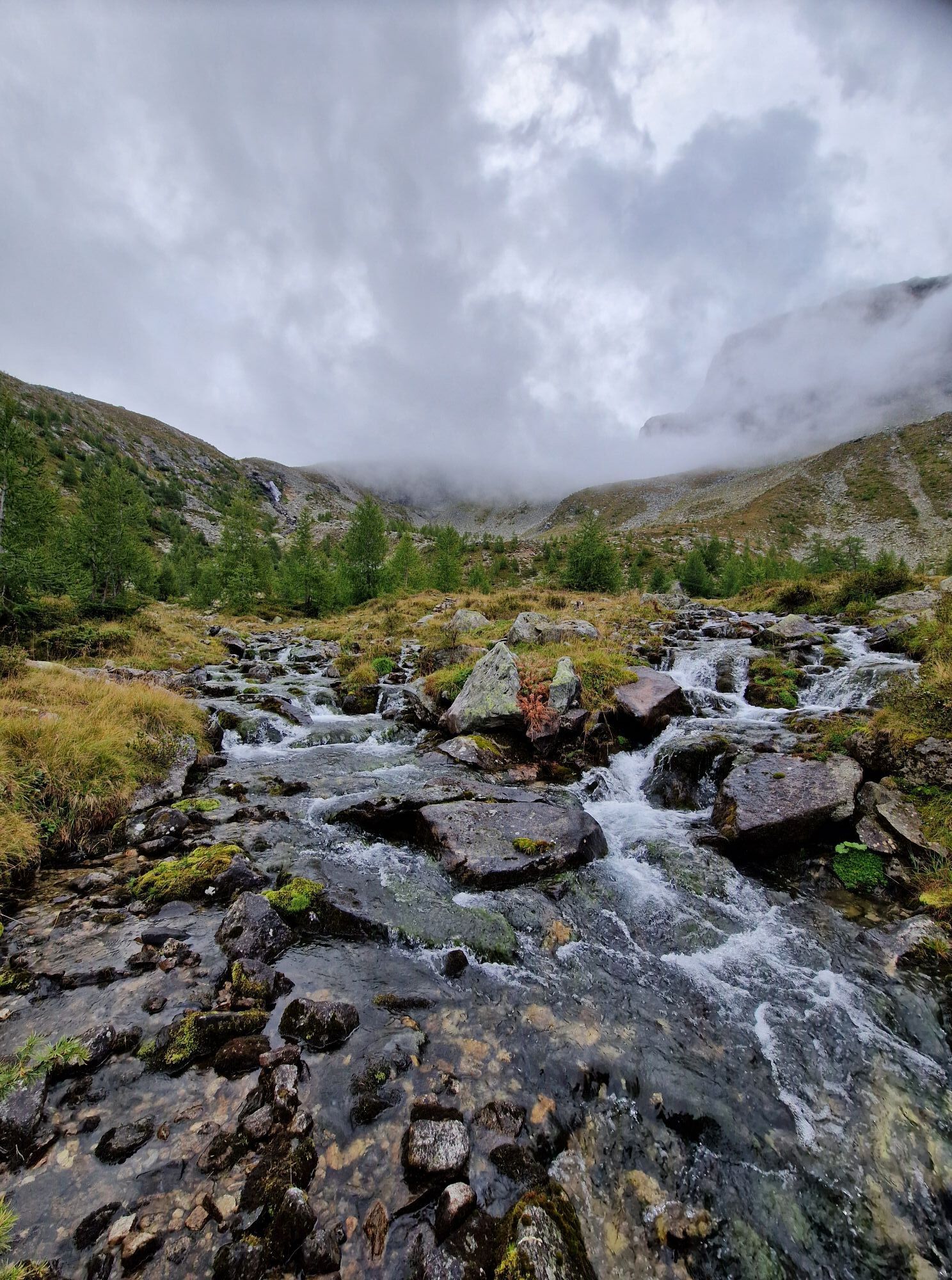
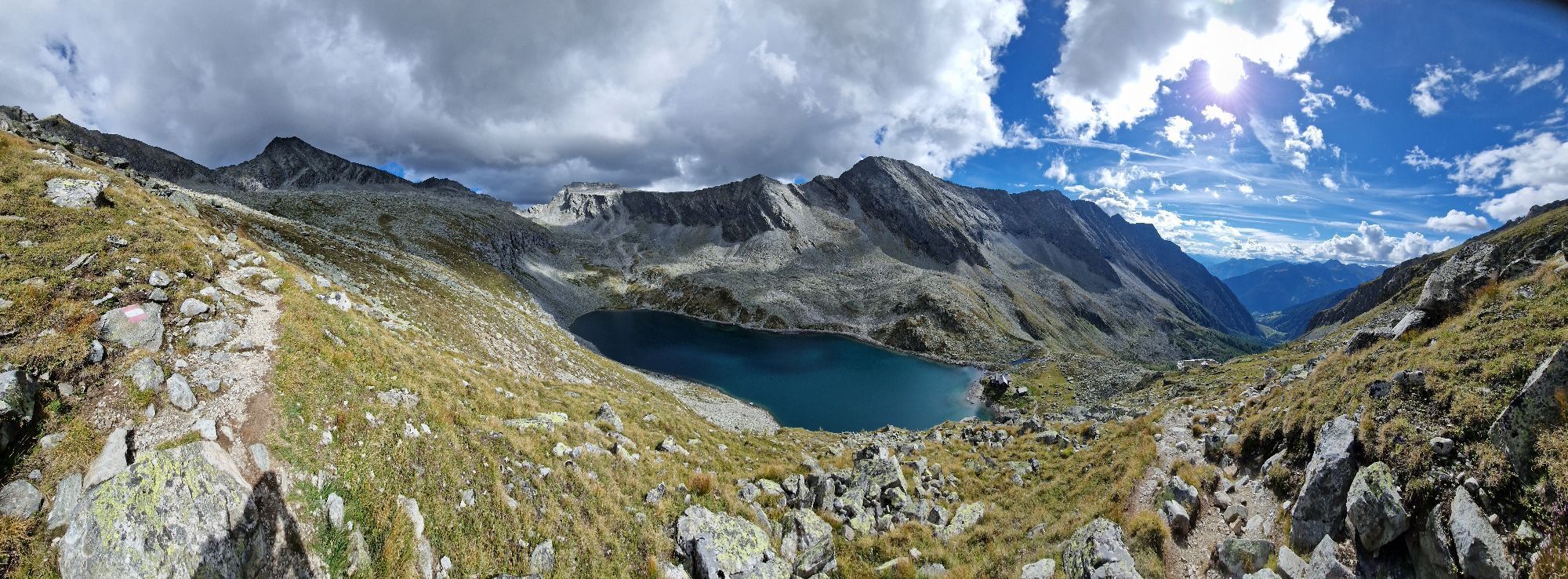
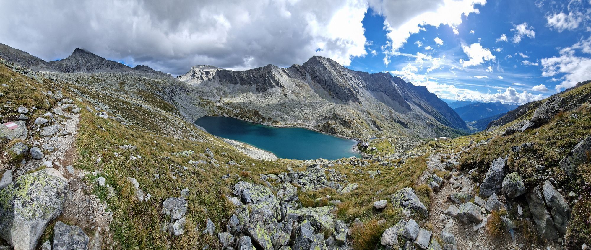
From the Dösental car park (paid) along the marked hiking trail to the Arthur-von-Schmidhaus. You then initially follow the normal route to Säuleck until the signposted junction to the via ferrata. Through rough blockwork directly to the start at a conspicuous slab ramp (to the right of a larger, partly debris-covered ramp, which is crossed further up).
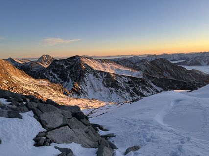
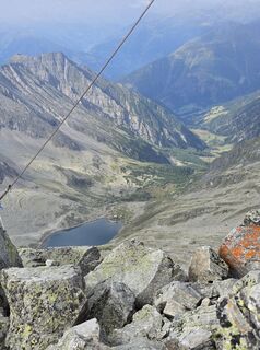
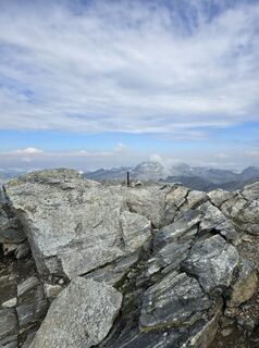
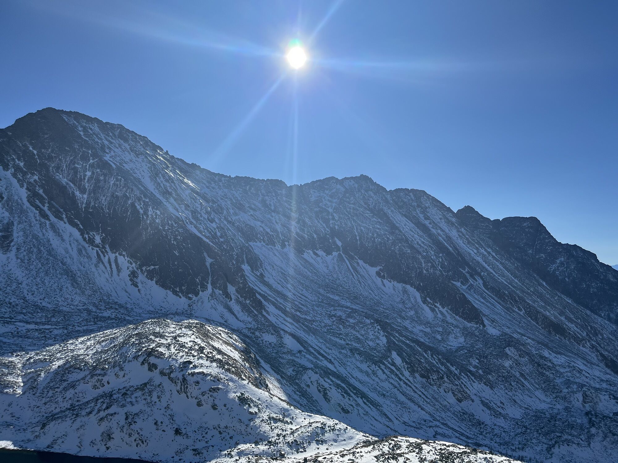
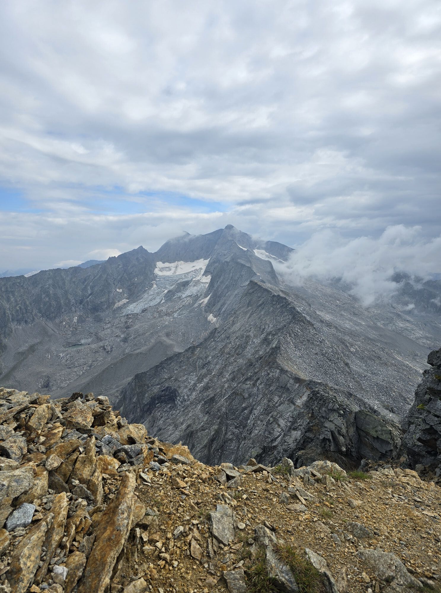
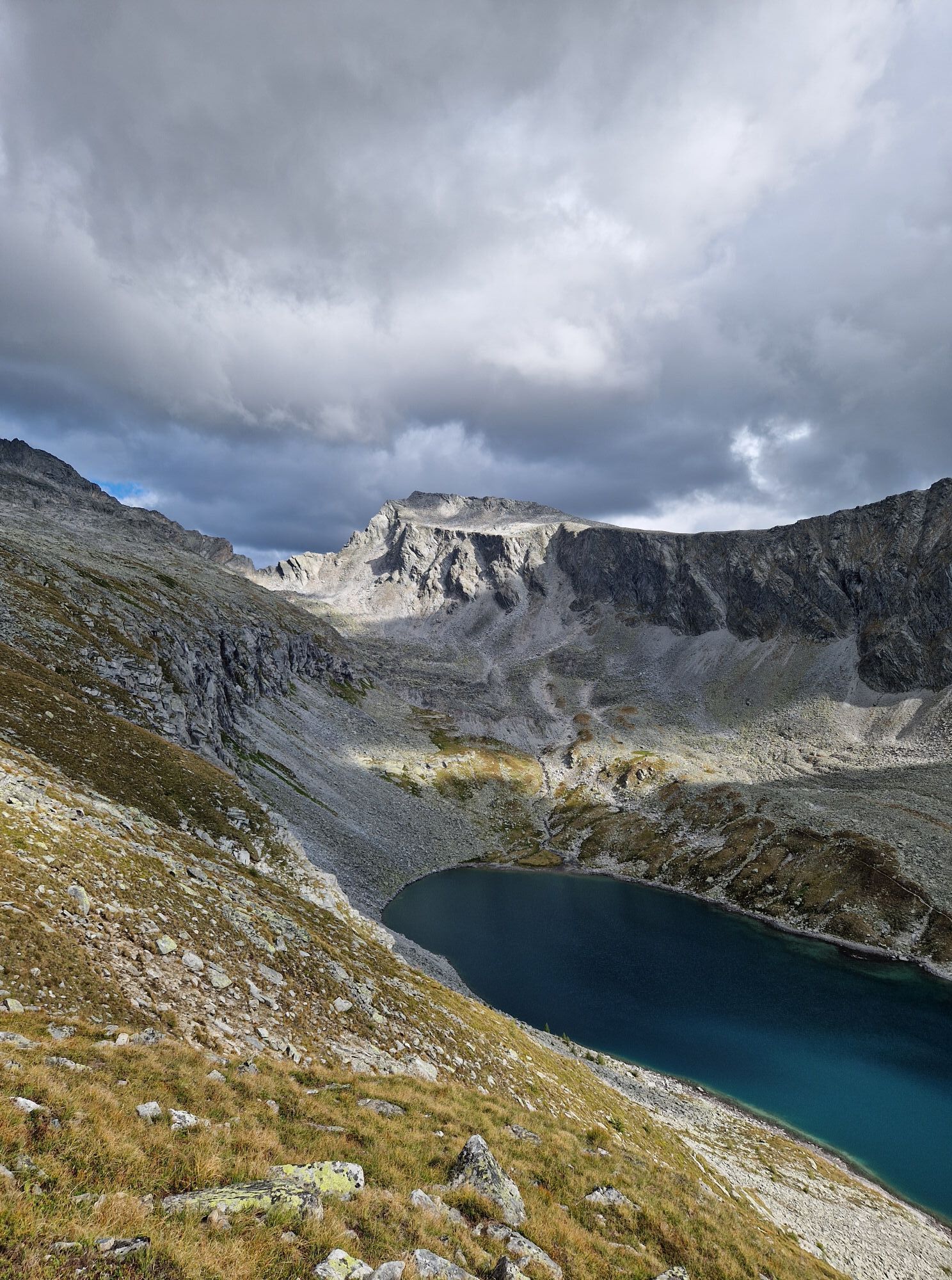
The via ferrata essentially follows the south ridge up to a subpeak on the west ridge. Finally, directly on the airy west ridge right up to the summit cross.
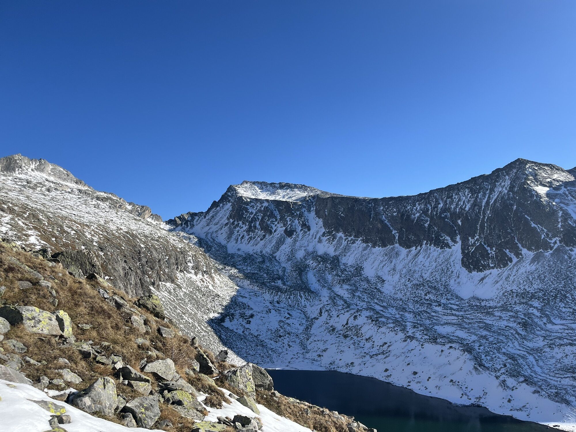
Descent along the Säuleck normal route.
Ja
In addition to the normal via ferrata equipment with harness, via ferrata set, and helmet, the usual high mountain equipment with rain and cold protection, hat, gloves. Sturdy mountain boots for ascent and descent!
At Mallnitz station, turn off towards Dösental. Several switchbacks lead to the signposted National Park car park Dösental.
Mallnitz is ideally accessible by train, with international express trains stopping at Mallnitz-Obervellach station every 2 hours.
By car: via the B106 (Mölltal federal road) to Obervellach, then 8 km on the B105 to Mallnitz.
Mallnitz hiking bus: Info and Booking Center Mallnitz at +43(0)4824-2700-40.
National Park Car Park Dösental
D/E
Detailed description including topographic map at www.bergsteigen.at!
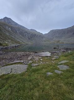
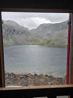
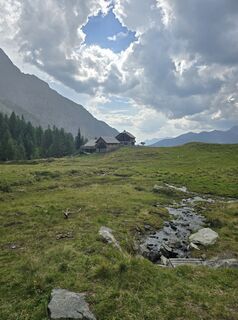
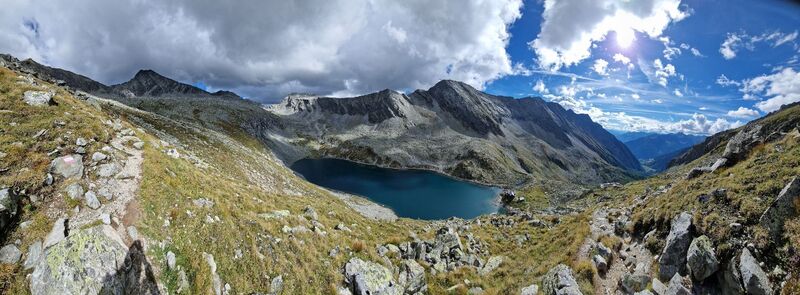
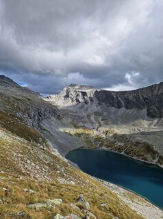
Overnight stay at the beautiful Arthur-von-Schmidhaus located by Lake Dösener!
Webbkameror för rundturen
Aktiviteter längs resan
-
Mallnitz, Kärnten/Österreich
13.09.2025 – Vandring -
Mallnitz, Kärnten/Österreich
06.09.2025 – Vandring -
Mallnitz, Kärnten/Österreich
06.09.2025 – Vandring -
Mallnitz Arthur von Schmidthaus
04.09.2025 – Vandring -
Mallnitz, Kärnten/Österreich
01.09.2025 – Vandring -
Mallnitz, Kärnten/Österreich
29.08.2025 – Vandring -
Mallnitz, Kärnten/Österreich
19.08.2025 – Vandring -

Dösental, Kärnten/Österreich
19.08.2025 – Vandring -

Mallnitz, Kärnten/Österreich
08.08.2025 – Vandring
Populära turer i närområdet
-
4,5
Großer Hafner 3076m
MediumVandring 17,3 km -
4,8
Hüttenkogel - Graukogel von der Bergstation
MediumVandring i berg 4,68 km -
4,6
Mountain route from the Kötschachtal to the natural jewel Reedsee
MediumVandring 12,5 km -
4,7
Kölnbreinspeicher bis Osnabrücker Hütte
ljusVandring 15,9 km -
4,3
"Elendrunde" Kleinelend Valley - Zwischenelendscharte - Großelend Valley
MediumVandring 21,9 km -
4,4
The Glockner cycle route R8
MediumCykling 89,7 km -
4,3
Kölnbreinspeicher zum Großen Hafner (3076m)
MediumHög tur 16,7 km -
4,7
Arlhöhe
Vandring 7,30 km -
4,7
Access to Hagener hut from Jamnigalm
MediumVandring 11,4 km -
5,0
Ankogelgruppe - Säuleck 3.086m - Detmolder Weg mit zu viel Schnee
tungHög tur 23 km
Vandring och spårning


Missa inte erbjudanden och inspiration inför nästa semester
Din e-postadress har lagts till på e-postlistan.