


Mostweg no. 226


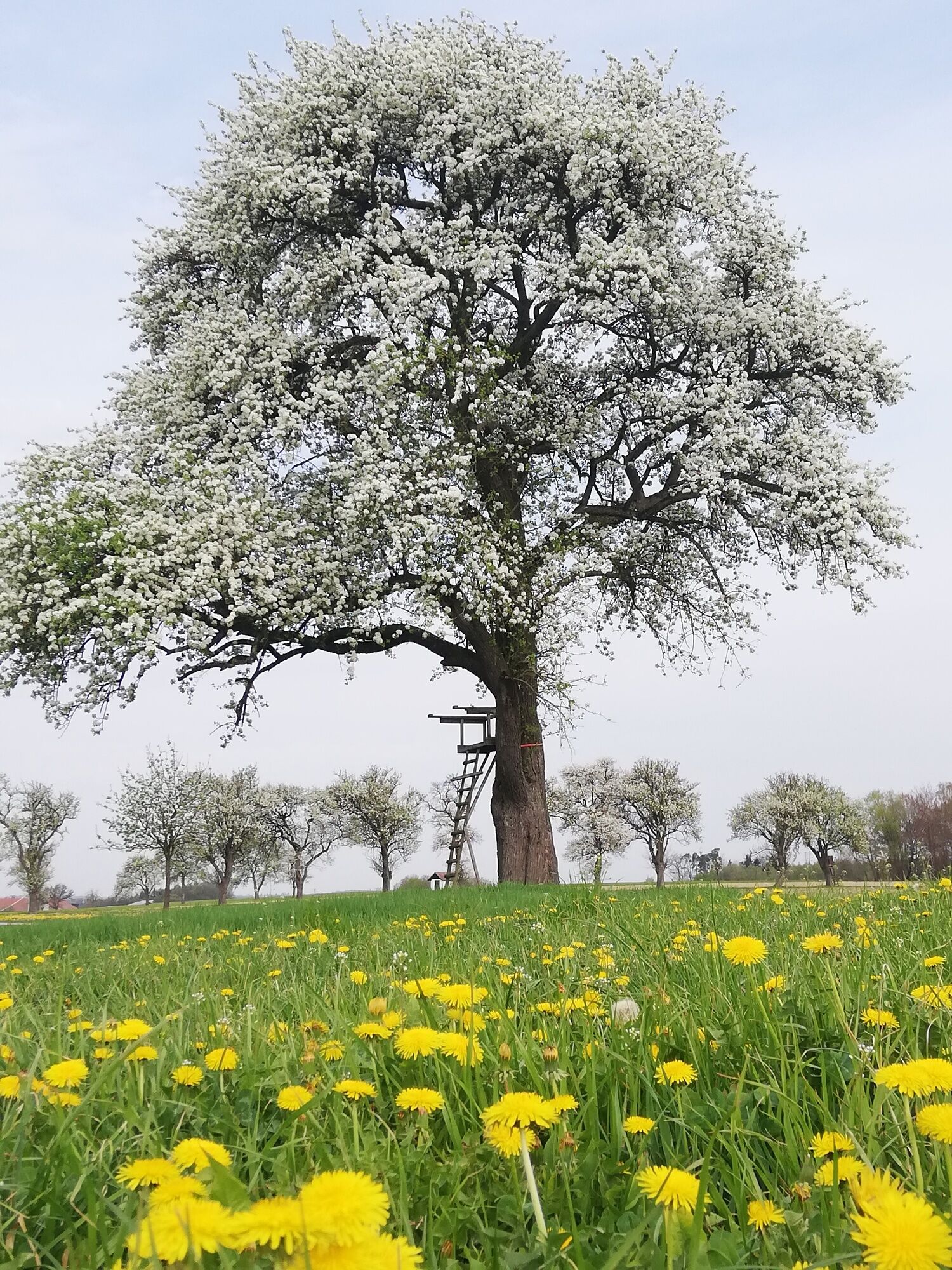
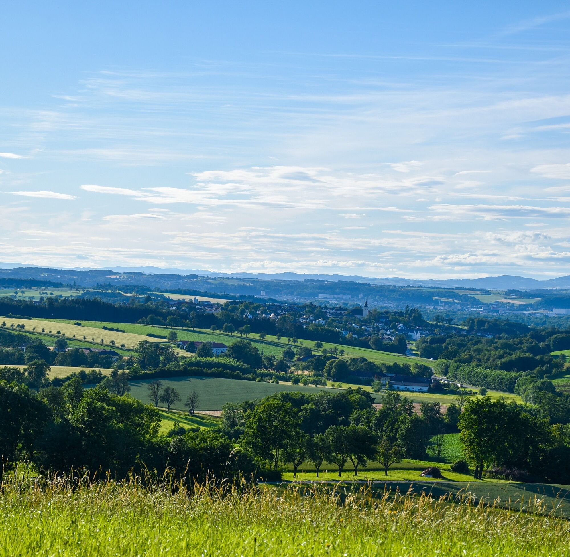
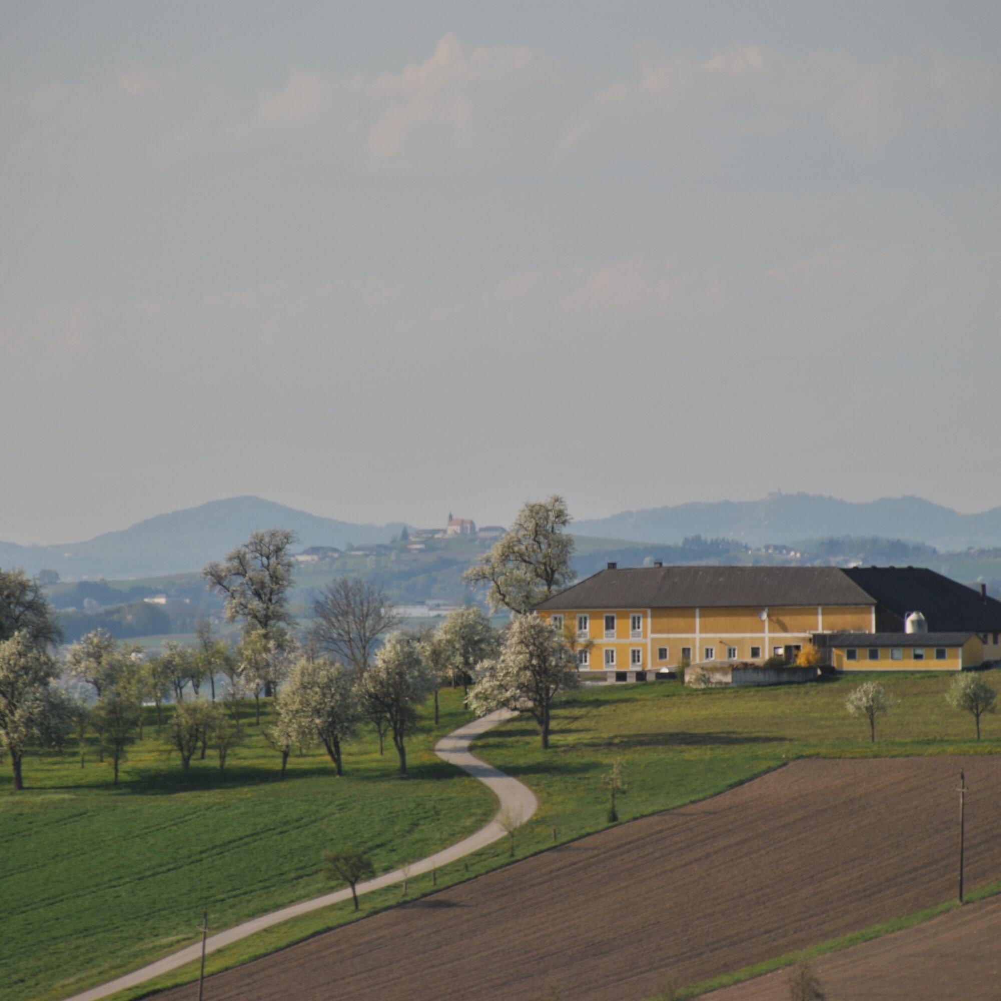
The slightly hilly circular hiking trail mainly runs on and beside the road through the southeastern cadastral community of Gafring, passing Pollenberg, Giemetsberg, Friesenegg, Sommeregg, and Braunshof...
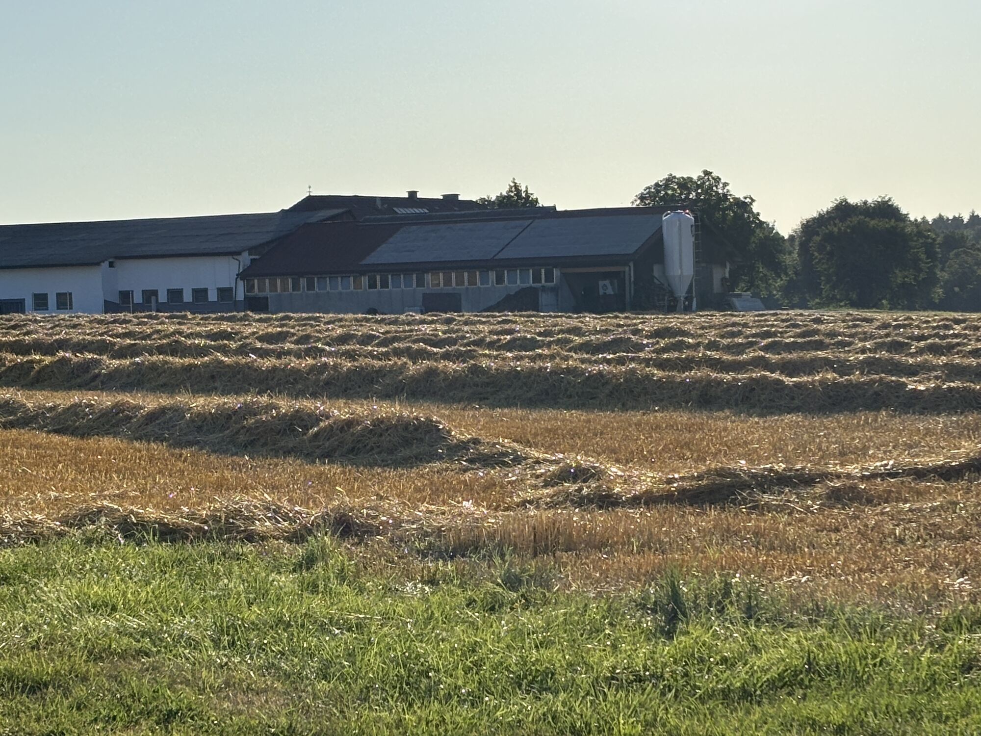
The slightly hilly circular hiking trail mainly runs on and beside the road through the southeastern cadastral community of Gafring, passing Pollenberg, Giemetsberg, Friesenegg, Sommeregg, and Braunshof before returning to Euratsfeld. The Euratsfeld cider barons and tavern operators await you with regional specialties during opening hours.

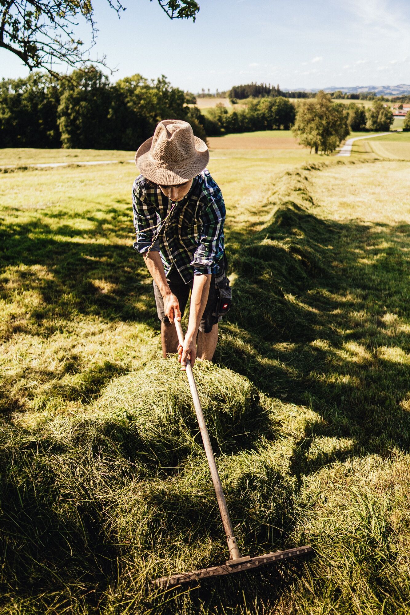
Starting from the main square, we walk a short distance along the main road and turn left into Mozart Street. Via Brunnenweg, we go down to the Stockschützenplatz, cross the bridge there, follow along the Gafring stream, enter the Guglumpf settlement, continue via Sonnenweg to the Gafring roundabout, and then take the bike and pedestrian path into Gafring. Shortly before the tavern-country hotel-cider baron - Gafringwirt, we march up left to Pollenberg, and after the cider tavern baron - Zeilinger, we turn right onto the main road and march towards Giemetsberg. After about 0.5 km, we go left down a trail to the road and then right to Friesenegg, where we walk on the left side through the farmyard along the field path towards the cider tavern - Sommereggerhof - Prigl. The path first goes down to the stream and then runs along the forest uphill to the main road. Once at the top, we march a short distance on the main road heading north/Umberg and then turn left before the forest towards Hinterholz, where we walk a bit along the path and then again on the road to Braunshof. First, Braunshof Street and then Brunnen Street lead us back to the starting point at the market square in Euratsfeld.
Ja
Light hiking shoes/equipment recommended
From the A1/Amstetten West or Amstetten East exit via the B1 to Euratsfeld. The route is well signposted with "Euratsfeld" or also "Randegg".
By train to Amstetten and from there by bus to Euratsfeld.
Parking is possible in the town center at Mockplatz, Vetterplatz, and at the parish community center.
Connoisseurs and cider lovers will fully enjoy themselves here. Along the route, you have the opportunity to stop in and indulge in delicacies from the Mostviertel region. Please note the opening hours of the cider taverns.
Populära turer i närområdet
-
4,5
Purgstall Route 3 entlang der Erlauf und Umgebung
ljusVandring 12,5 km -
4,9
Erlaufschlucht
ljusCanyoning 4,58 km -
4,6
Erlaufschlucht LMIK
MediumVandring 9,94 km -
4,8
Erlauchschlucht
ljusVandring 14,4 km -
3,0
Rundwanderung Windhag - St. Leonhard - St. Aegidi
ljusVandring 15,2 km -
4,5
Türkensturzweg
ljusVandring 15,1 km -
4,5
Snow Rose Trail
ljusVandring 9,61 km -
4,4
Ybbs 3 - Panoramarunde
tungVandring 10,3 km -
3,4
Gresten - Goganz - Hochschlag - Runzelberg - Frauenstein - Gresten, Niederösterreich
MediumVandring 21,3 km -
2,2
Hochkogel, Randegg, NÖ
ljusVandring 11,2 km
Vandring och spårning


Missa inte erbjudanden och inspiration inför nästa semester
Din e-postadress har lagts till på e-postlistan.