


Circular hiking trail "Maria Elend"


Foton av våra användare
-

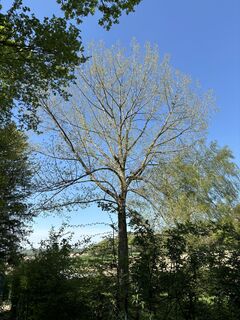
 © Gerhard PiglmannSkapad på 19.03.2025
 -
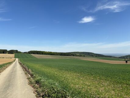
 © Gerhard PiglmannSkapad på 19.03.2025
 -
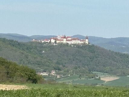
 © Gerhard PiglmannSkapad på 19.03.2025
 -
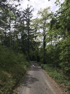
 © Gerhard PiglmannSkapad på 19.03.2025
 -
 © Brigitte SagmeisterSkapad på 13.04.2024
 -
 © Brigitte SagmeisterSkapad på 13.04.2024
 -
 © Brigitte SagmeisterSkapad på 13.04.2024
 -
 © MaxspeedSkapad på 21.05.2020
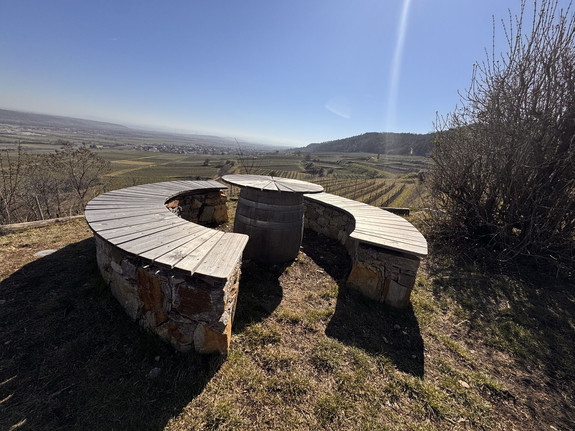
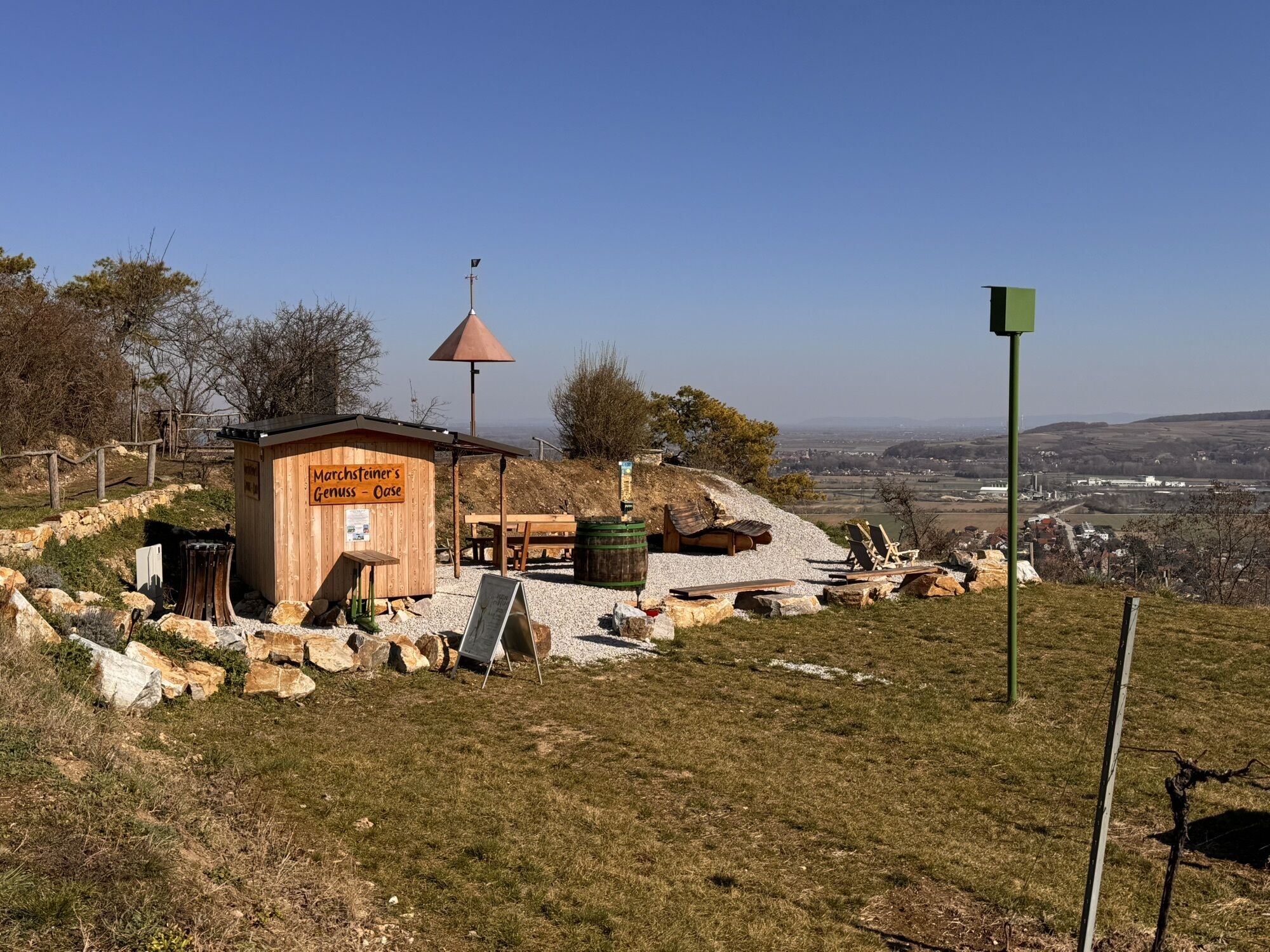


A beautiful, leisurely hiking trail where you can see the various landscapes of the Traisental wine region. Inns and wine taverns invite you to stop and rest. Farm sales direct from the cellar of wine,...
A beautiful, leisurely hiking trail where you can see the various landscapes of the Traisental wine region. Inns and wine taverns invite you to stop and rest. Farm sales direct from the cellar of wine, fruit juices (gourmet region Traisental fruit juices), and much more are offered. Many benches and tables are available for interim refreshment. Also, several cultural highlights can be found along the way. Ideal for dogs as the hiking trails mostly lead through open terrain.

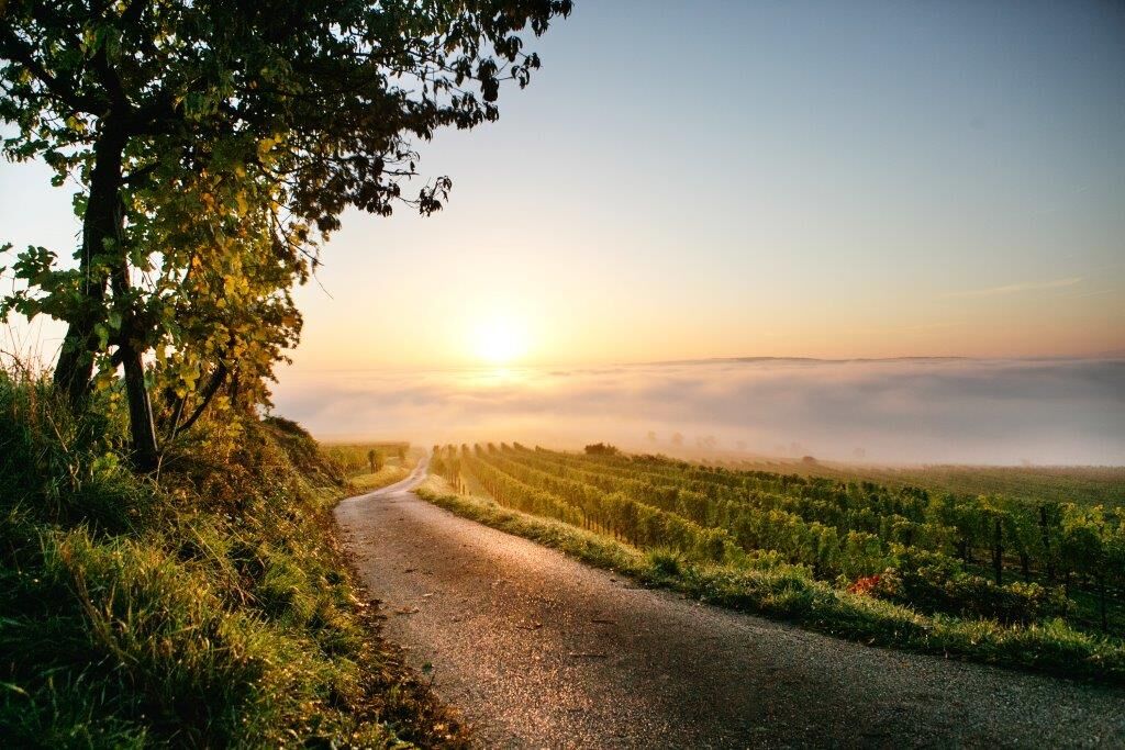
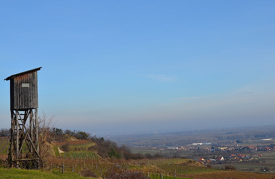
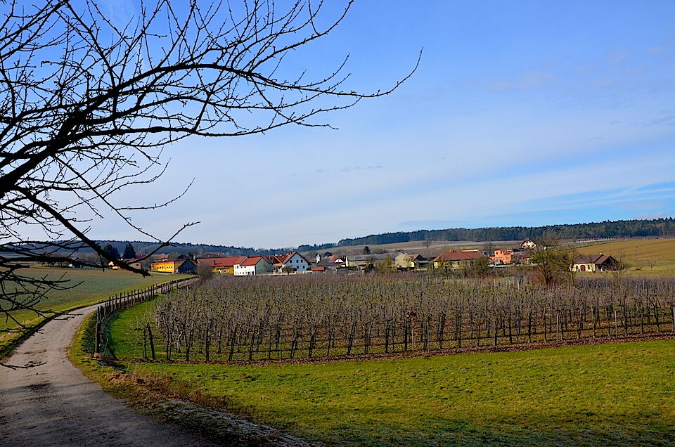
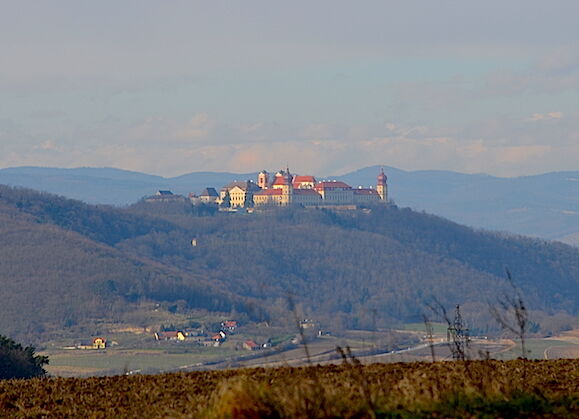
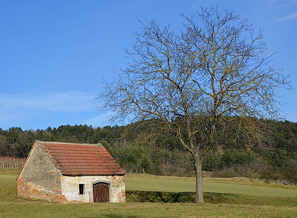
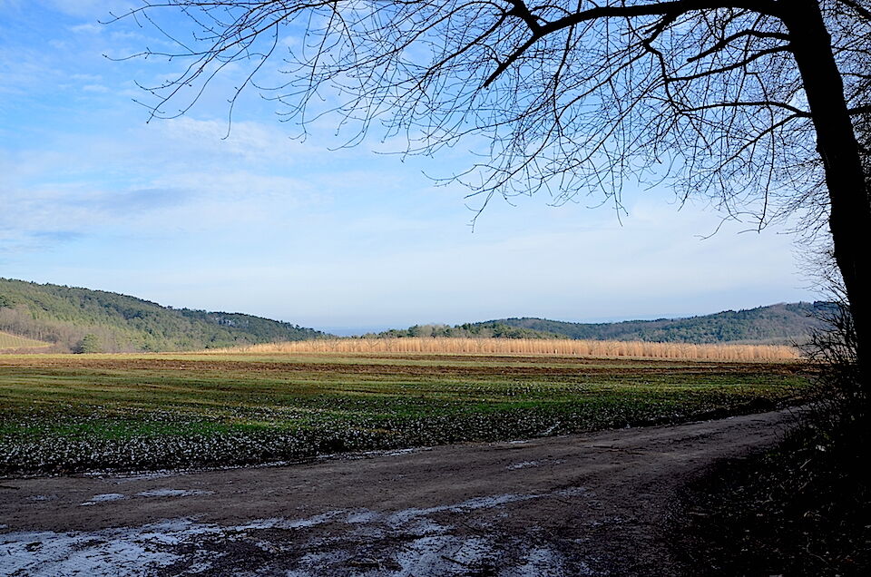
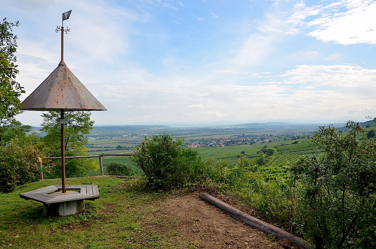
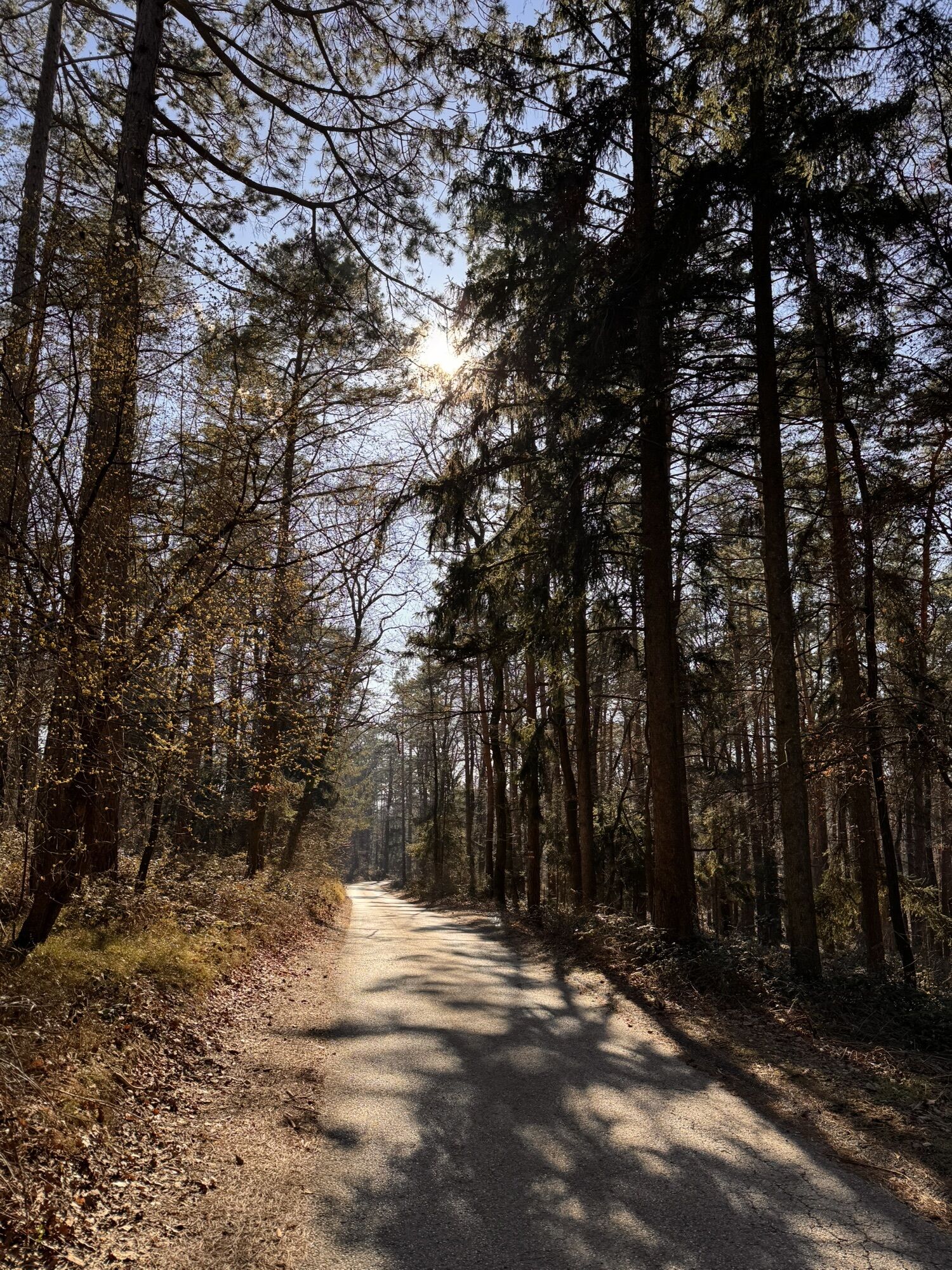
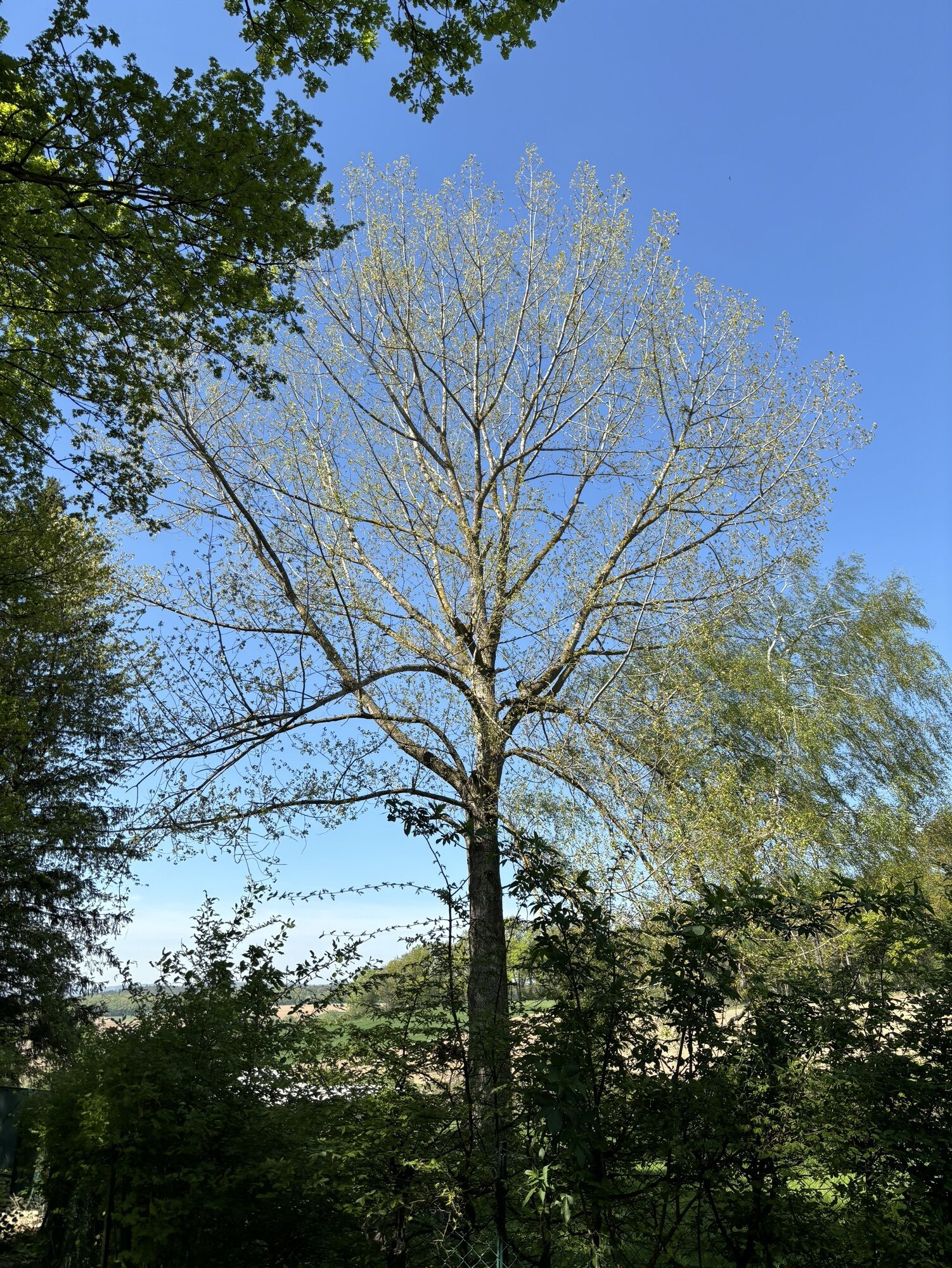
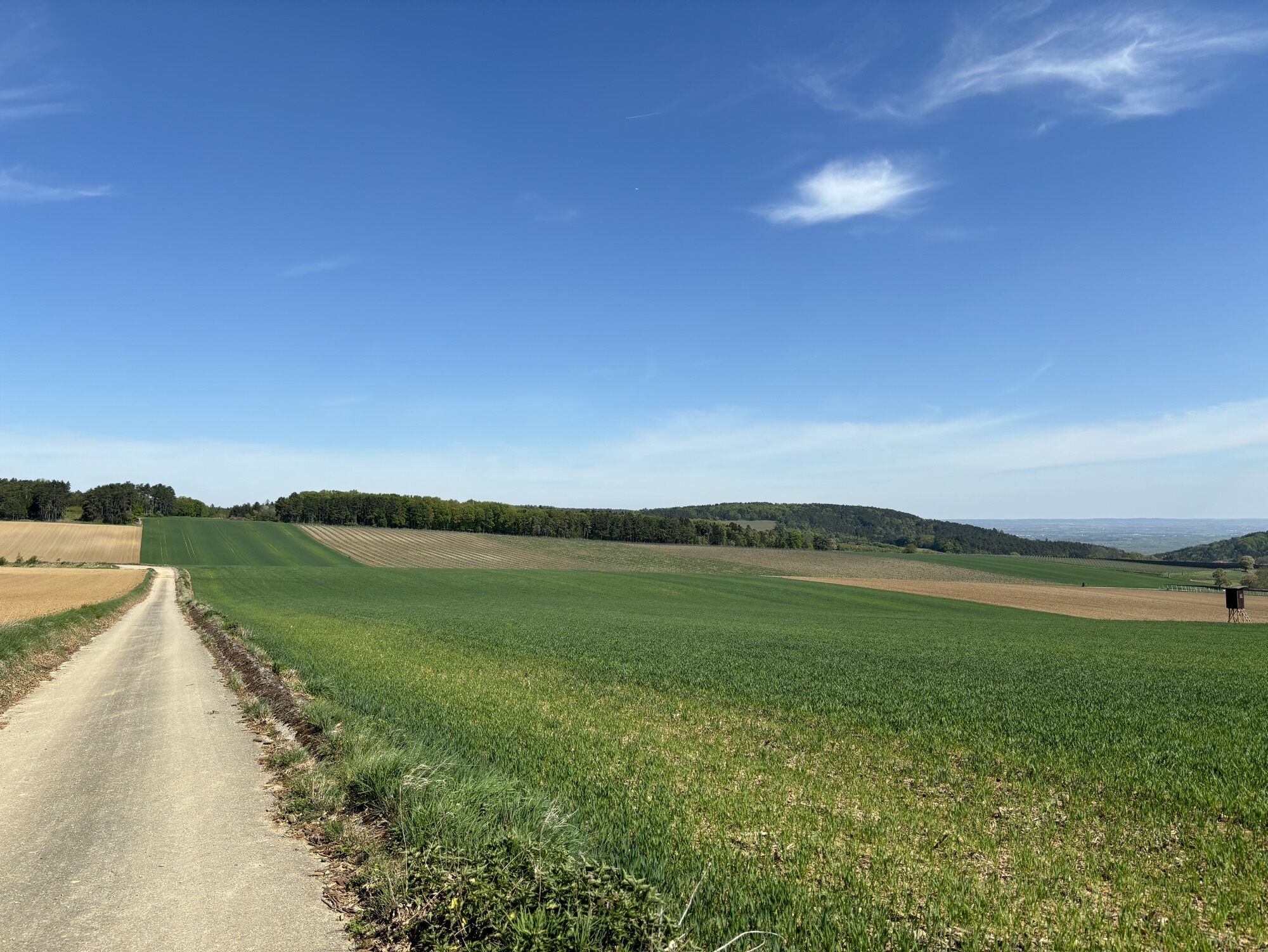
Starting from Nußdorf, the path leads uphill through vineyards, orchards, and forests to the idyllic elevated village of Theyern. In this first section, you have a wonderful panoramic view of the Traisen Valley to the foothills of the Alps or into the Danube Valley and the Tulln basin.
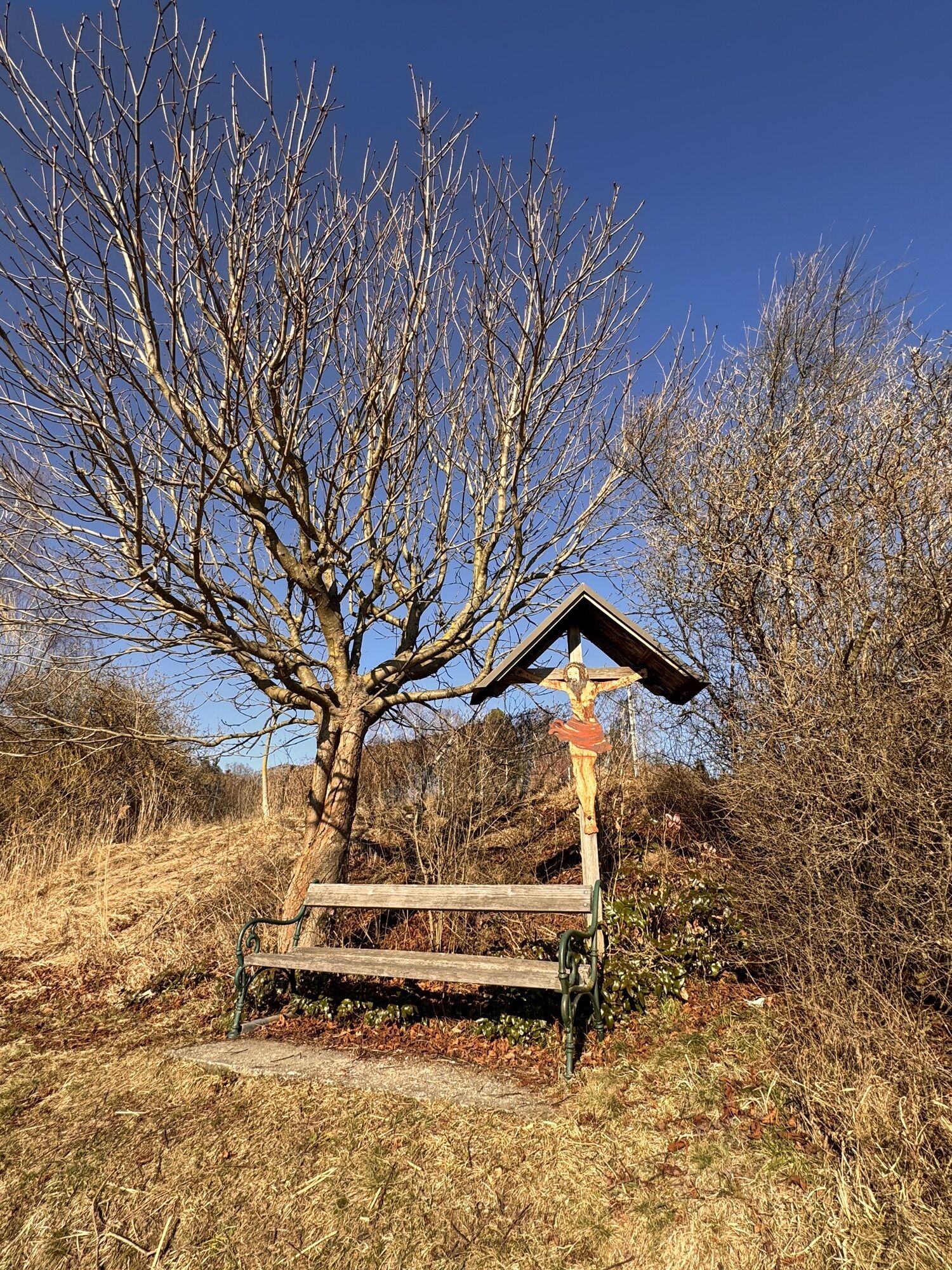
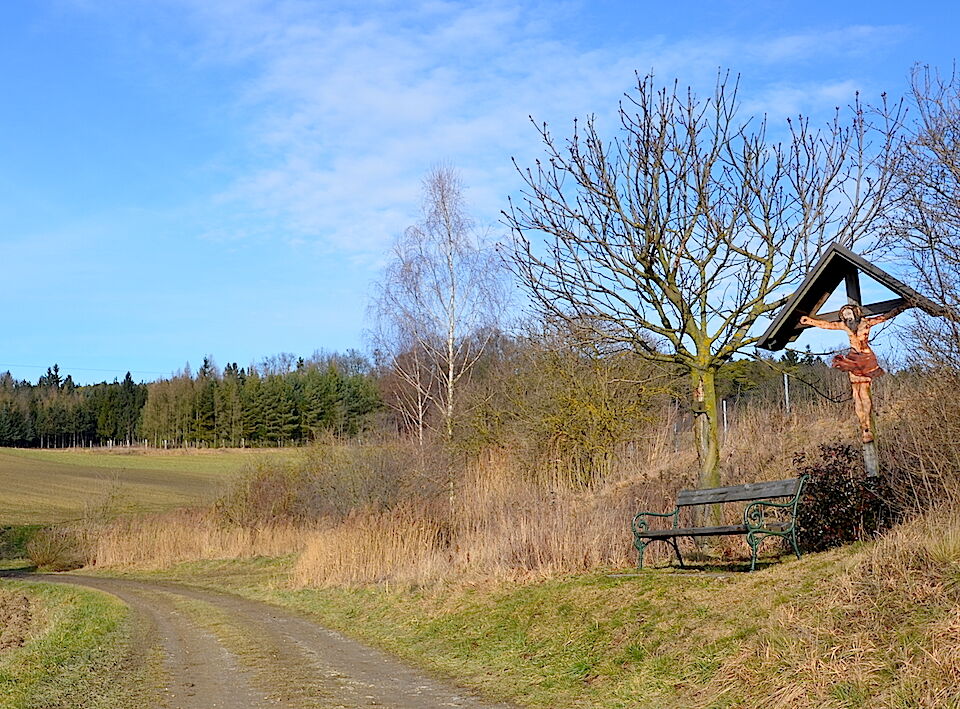
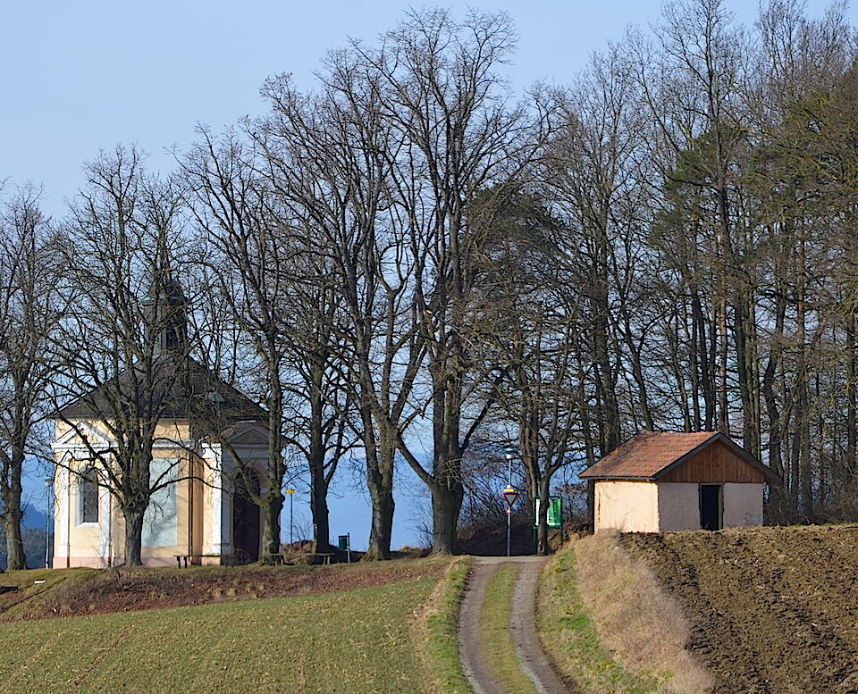
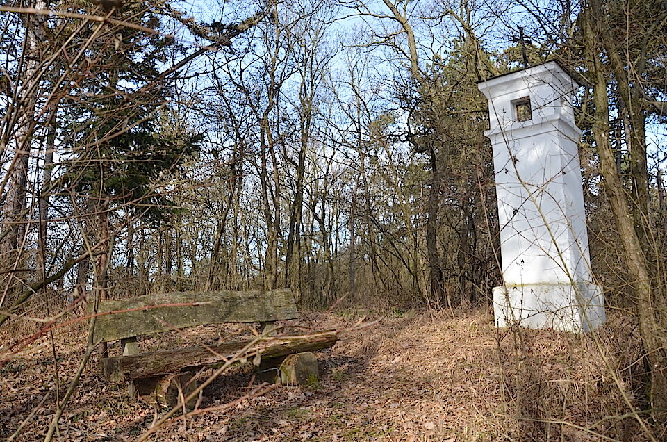
From here, the route only ascends slightly, passing again through orchards, vineyards, and fields. At the forest edge, the path crosses a section of the Way of St. James to the pilgrimage church "Maria Elend," where the inn "Osterhaus" also offers a place to stop. The way back leads again through forest, past vineyards and fields, into the charming small village of Ried near Nußdorf ob der Traisen.
The path is marked by yellow signage titled "Maria Elend Circular Hiking Trail."
Ja
Ja
Suitable hiking shoes are recommended
Via the A1 motorway and the S33 to Nußdorf ob der Traisen - exit "Traismauer Süd"
By train to Traismauer or Herzogenburg and then by bus to Nußdorf ob der Traisen.
By bus from Vienna via Traismauer or from St. Pölten.
In front of the municipal office in Nußdorf
Market town Nußdorf ob der Traisen
www.nussdorf-traisen.gv.at
More information on the Traisental wine-growing region, wine tavern opening hours, and accommodation possibilities:
Wine Route and Tourism Traisental-Danube
Rathausplatz 22, 3130 Herzogenburg
T +43 2782 833 21
E tourismus@traisental.at
www.traisental.at
Take your time and let the hike end comfortably at one of the inns or wine taverns. To enjoy the hike later at home, it is advisable to take a supply of wines or fruit juices along.
Populära turer i närområdet
-
4,9
Vogelbergsteig -Kanzel- Fesselhütte - Ruine Dürnstein zum Heurigen in Furth
MediumVandring 7,59 km -
4,8
"Dürnstein Trail" - Die landschaftlich und architektonische Schönheit der Wachau erleben.
ljusVandring 6,95 km -
4,6
Wachau World Heritage Trail 01: Krems - Dürnstein
MediumLångdistans vandringsled 12,3 km -
4,4
Wachau: Zur Ruine Dürnstein über den Vogelbergsteig
MediumVandring 5,80 km -
4,8
Burgruine Dürnstein - Fesslhütte - Vogelbergsteig
MediumVandring 5 km -
4,4
Vogelbergsteig Dürnstein
MediumVandring 3,92 km -
4,4
WEINWEG Langenlois
ljusTema spår 5,68 km -
4,3
Wachauer Marillenerlebnisweg, Krems-Angern
ljusVandring 6,04 km -
4,7
Welterbesteig Wachau 01: Krems-Dürnstein
ljusLångdistans vandringsled 12,3 km -
4,7
Wachau: Panoramaweg Rossatz
ljusVandring 10,8 km
Vandring och spårning


Missa inte erbjudanden och inspiration inför nästa semester
Din e-postadress har lagts till på e-postlistan.