


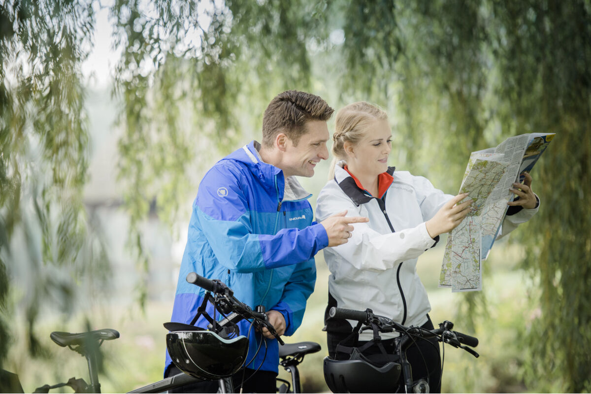
De Bülter - circular bike route around the Bülter See


On this route you can enjoy the magnificent, unspoiled landscape in the nature reserve „Bülter See and Randmoore“.
But even away from the Bülter See, this route has a lot to offer. For example, a detour...
On this route you can enjoy the magnificent, unspoiled landscape in the nature reserve „Bülter See and Randmoore“.
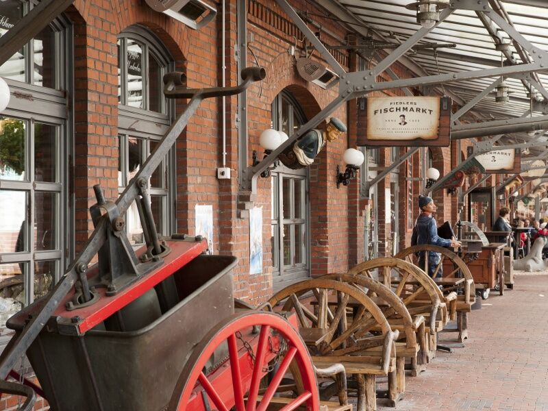
But even away from the Bülter See, this route has a lot to offer. For example, a detour to Bremerhaven is recommended. The Fischereihafen is only 3.8 km from the circular route and is perfect with its restaurants, cafés, and harbor pubs to recharge for the onward journey.
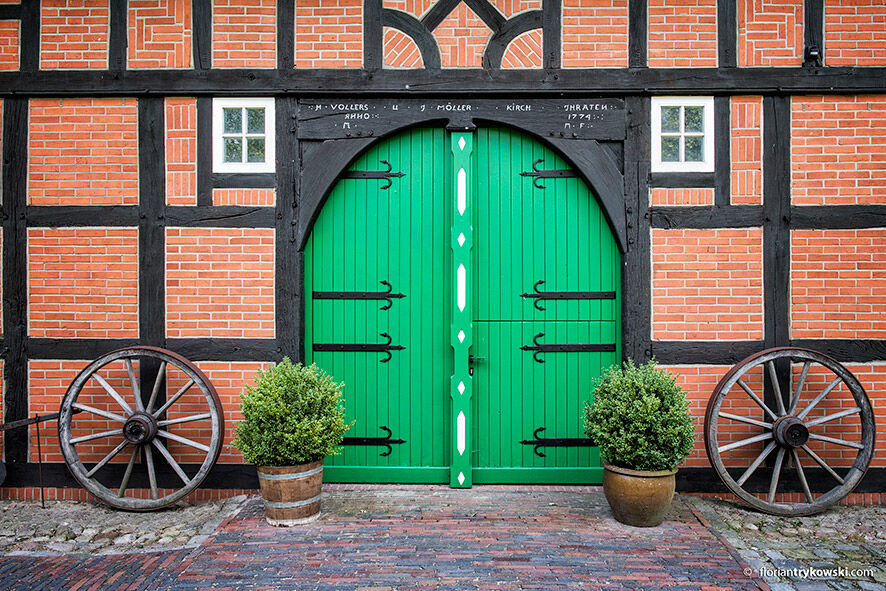
A gem where you should make a stop on the route is the open-air museum in Frelsdorf. With its granaries, wells, beekeeping stands, and sheep barns, you enter a world that seems to have stood still in time.
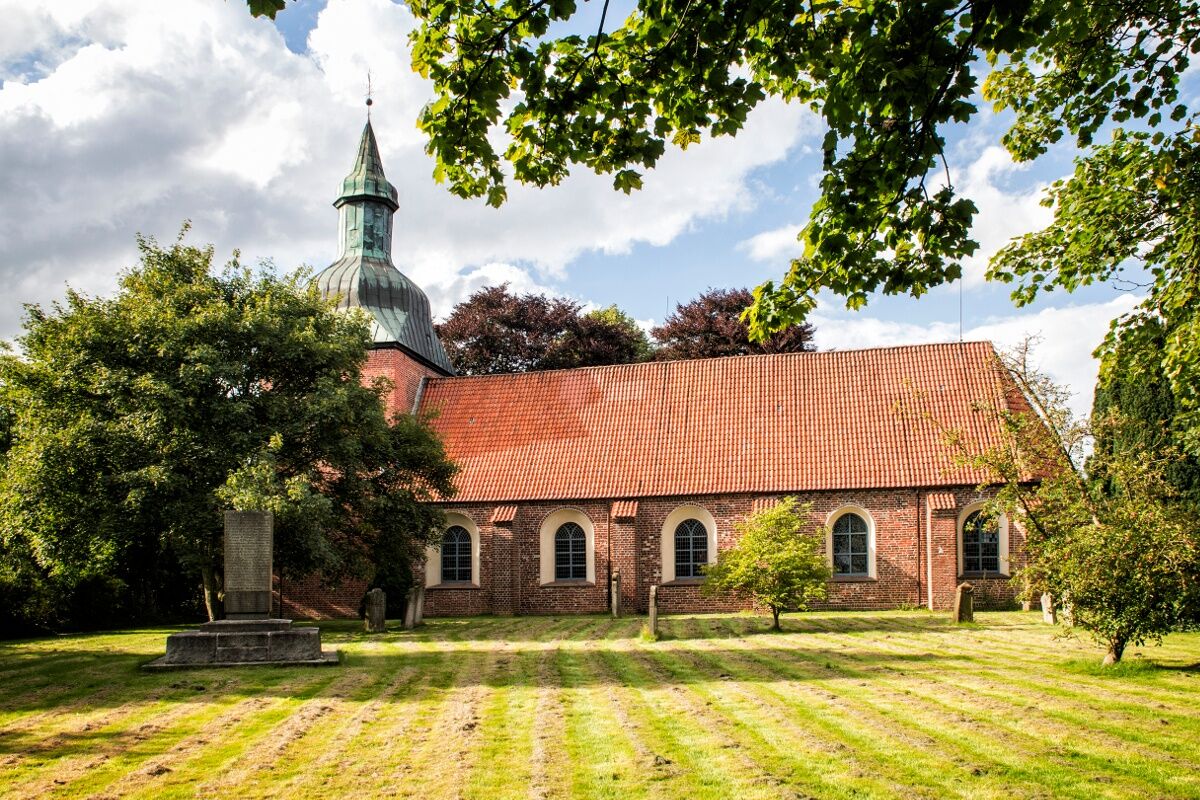
Those interested in churches will enjoy the Loxstedt St. Mary’s Church. The brick Gothic with a late Baroque organ tells history.

Loxstedt – Nesse – Stotel – Speckje – Fleeste – Lanhausen – Jedutenberg – Hohewurth – Apeler – Sellstedt – Wehdel – Geestenseth – Frelsdorf – Wollingst – Lohe – Heerstedt – Stinstedt – Bexhövede – Loxstedt
We recommend wearing a bicycle helmet.
On the bike ride, you should carry enough fluids.
Watch out for cars and agricultural vehicles.
A27 from the direction of Cuxhaven
Leave the motorway at exit 9-Bremerhaven-Wulsdorf, then turn right onto the B71. After 1 km turn left onto Hohewurth, after another 250 m turn left again onto Hohewurthstraße.
A27 from the direction of Bremen
Leave the motorway at exit 10-Bremerhaven-Süd, then turn left onto the B6. After 1 km turn left onto Lindenstraße. Follow the route to the roundabout and then leave it at the first exit.
The Loxstedt station is accessible by regional train (NWB RS2) from Bremen and Bremerhaven.
More information at www.nordwestbahn.de
Public parking lots are signposted via the parking guidance system.
The route is continuously signposted with CUX 10 signposts.
The route is signposted according to FGSV guidelines and consists of small square intermediate signposts and long destination signposts.
More information on cycle route signage at: Cycling route signage in Lower Saxony
The Silbersee is also worth a small detour! The body of water at the edge of the Laaschmoor invites you to relax and swim.
Webbkameror för rundturen
Populära turer i närområdet
-
De Geest - cycling circular route through the Geestland
tungCykling 66,9 km -
De Luun - circular bike route over the Lune
ljusCykling 59,5 km -
Loxstedt Legends Route 1
ljusCykling 27,6 km -
Rundweg Schiffdorf entdecken
ljusVandring 19,8 km -
Ooler Schoolpad
ljusTema spår 1,81 km -
Canoe touring on the Lune
MediumKajak / Kanu 16,7 km -
Loxstedter Sagenweg 2
ljusCykling 31,4 km -
Canoe hiking on the Geeste
MediumKajak / Kanu 7,03 km -
Stadtbezirk Bremerhaven-Nord - Sankt Marien - Bremerhaven - Stadtbezirk Bremerhaven-Süd
ljusVandring 6,84 km -
Stadtbezirk Bremerhaven-Süd - Bremerhaven
ljusLöpning 4,95 km
Vandring och spårning


Missa inte erbjudanden och inspiration inför nästa semester
Din e-postadress har lagts till på e-postlistan.