


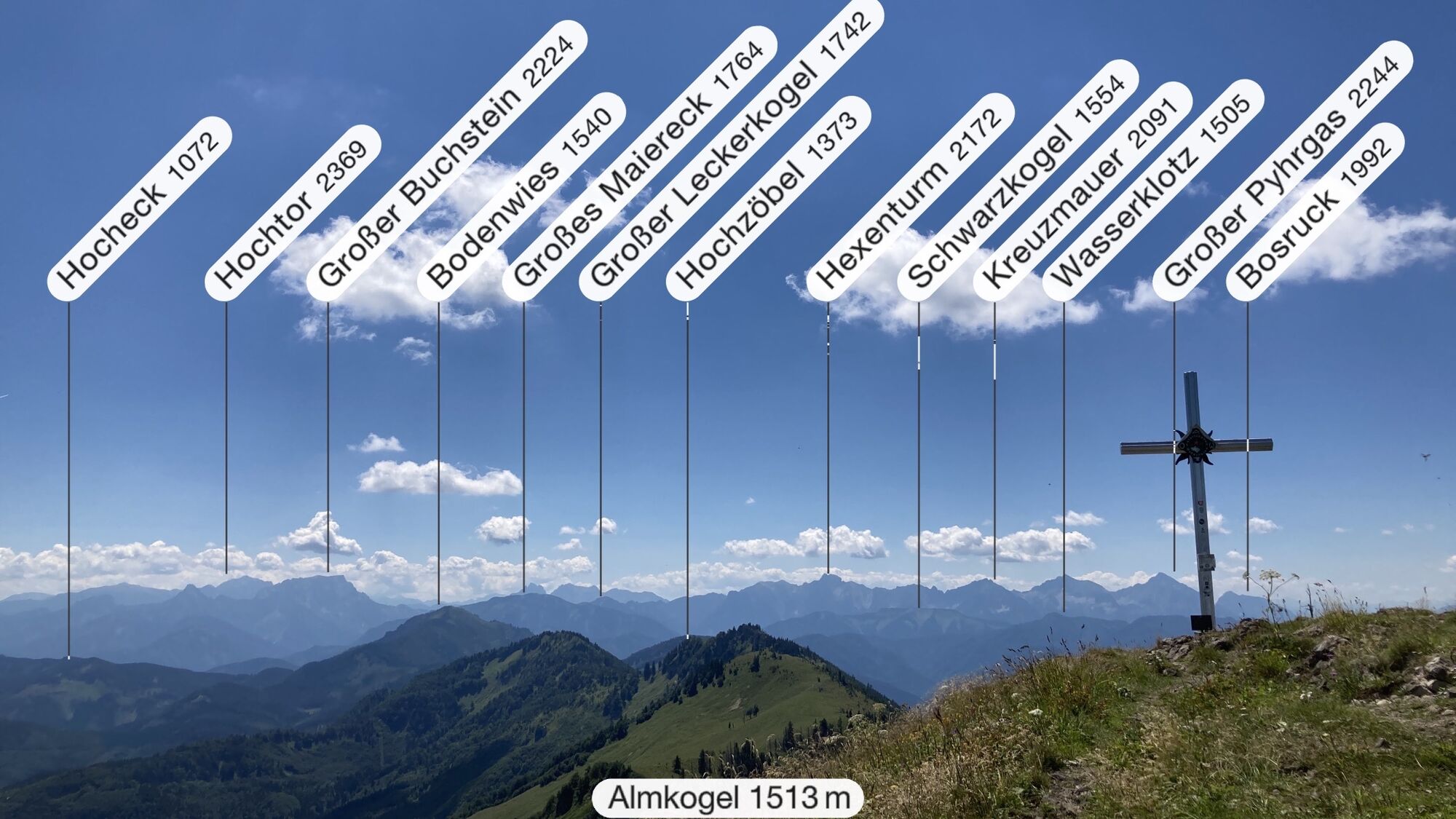
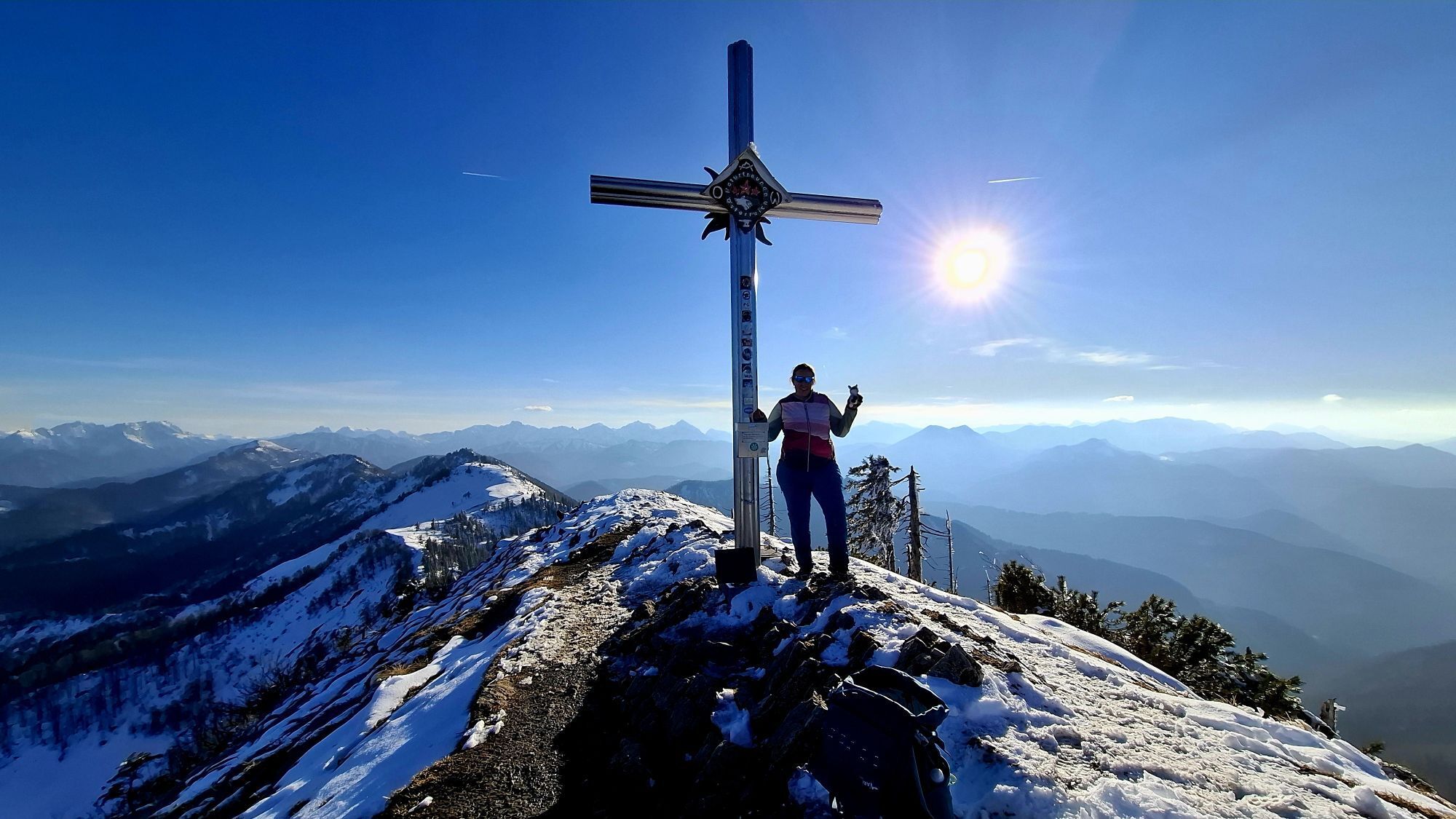
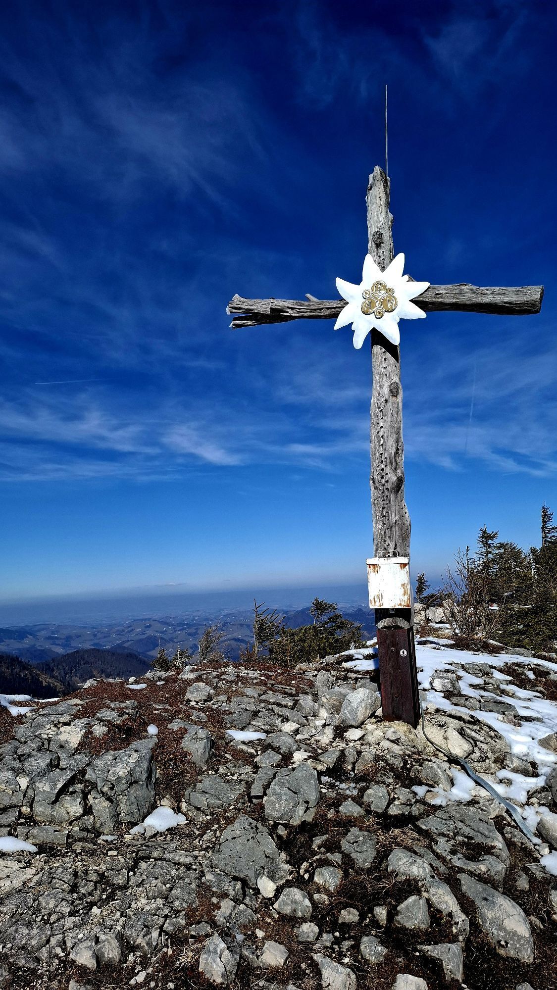
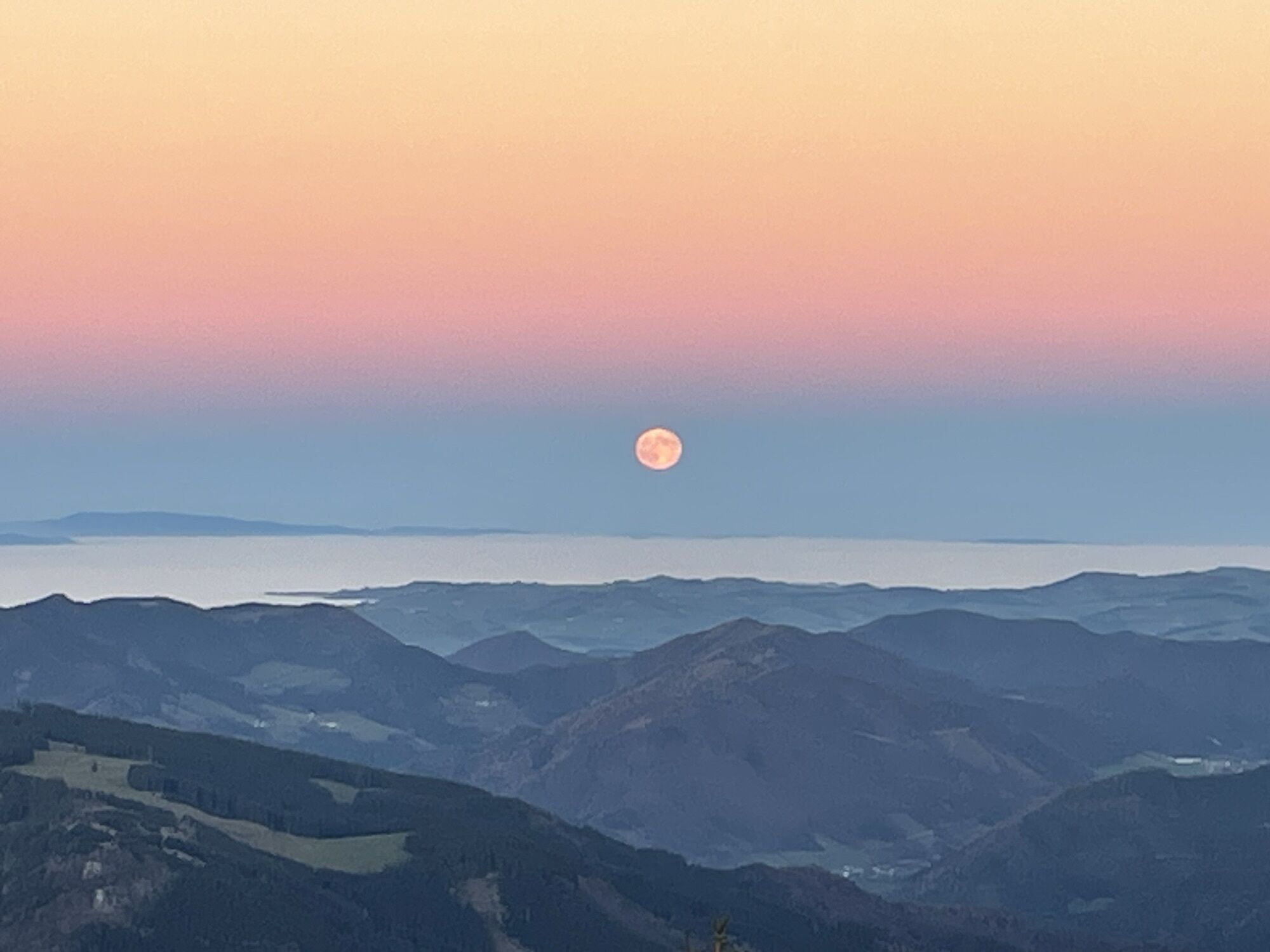
Almkogel - Hühnerkogel (via Weyer/Kleinreifling)


Foton av våra användare
-

 © Wenzl73Skapad på 16.11.2024
 -
 © Patrick Gensinger 1Skapad på 22.09.2022
 -
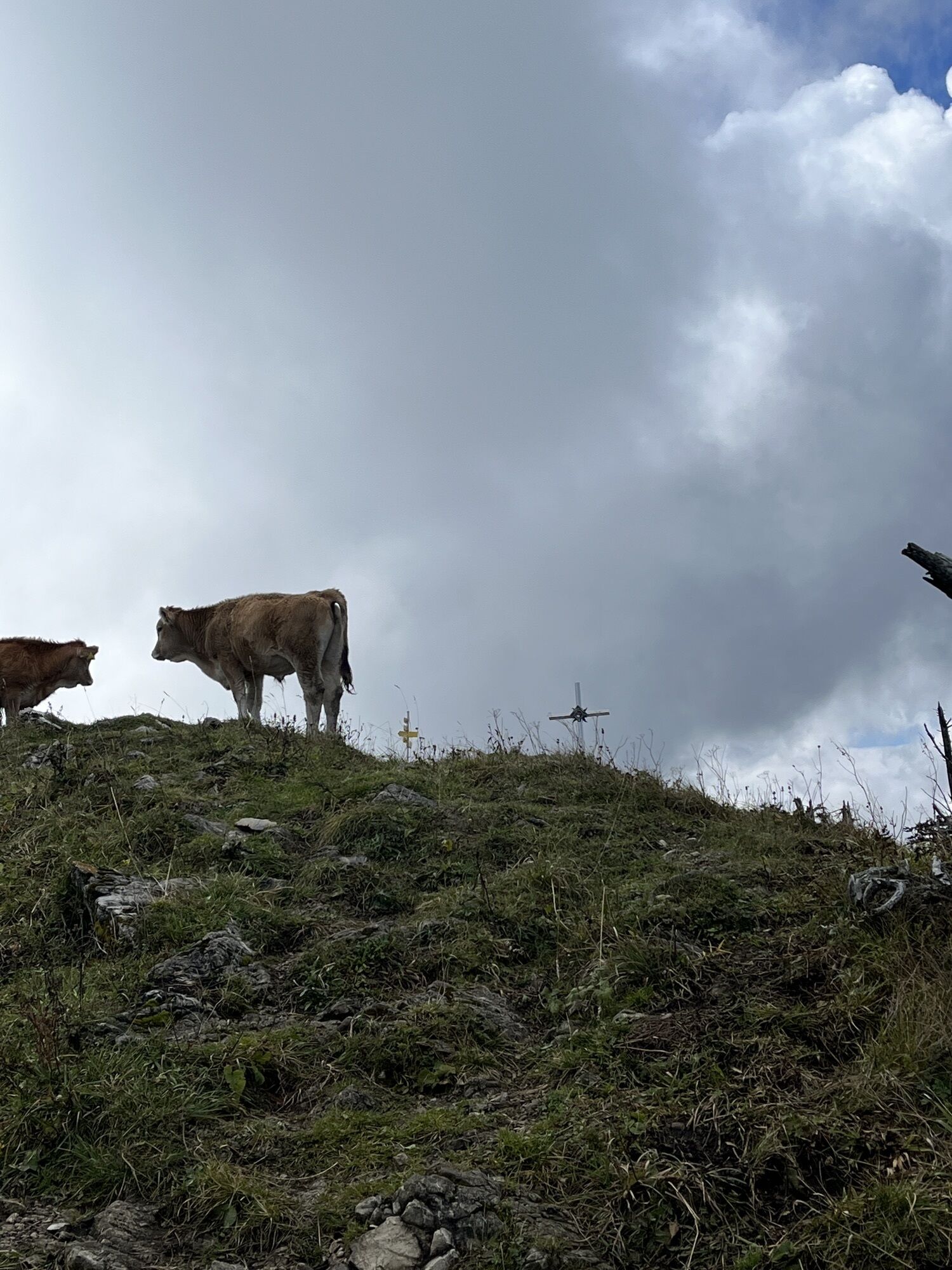
 © Berg NoarSkapad på 04.10.2025
 -
 © Paula SedláčekSkapad på 21.09.2025
 -
 © Paula SedláčekSkapad på 21.09.2025
 -
 © Paula SedláčekSkapad på 21.09.2025
 -
 © Paula SedláčekSkapad på 21.09.2025
 -
 © Paula SedláčekSkapad på 21.09.2025
 -

 © WernerSkapad på 01.05.2025
 -

 © Schurli1977Skapad på 01.11.2024
 -
 © Schurli1977Skapad på 01.11.2024
 -
 © Schurli1977Skapad på 01.11.2024
 -
 © Peter EndlSkapad på 18.07.2022
 -
 © JordySkapad på 02.03.2025
 -
 © JordySkapad på 02.03.2025
 -
 © JordySkapad på 02.03.2025
 -
 © Wenzl73Skapad på 16.11.2024
 -
 © Wenzl73Skapad på 16.11.2024
 -
 © Wenzl73Skapad på 16.11.2024
 -
 © Wenzl73Skapad på 16.11.2024
 -
 © Wenzl73Skapad på 16.11.2024
 -
 © Patrick Gensinger 1Skapad på 22.09.2022


From the parking lot in Klaus im Hammergraben first follow the gravel road, then the trail leads over a wooden footbridge to a path through the forest. Past the Saileralm, it goes up the Arzbach to the...
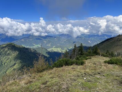
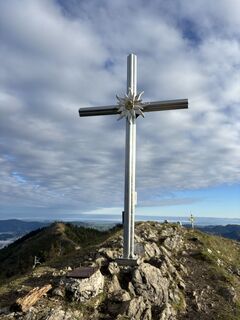
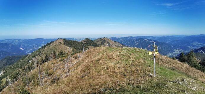
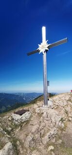
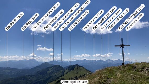
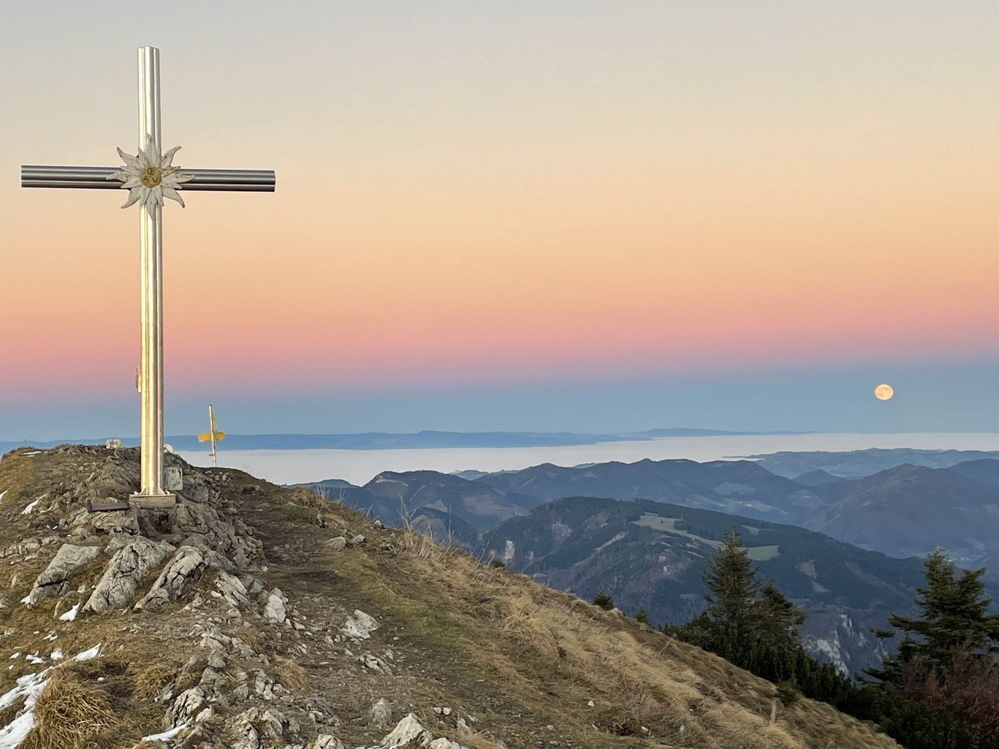
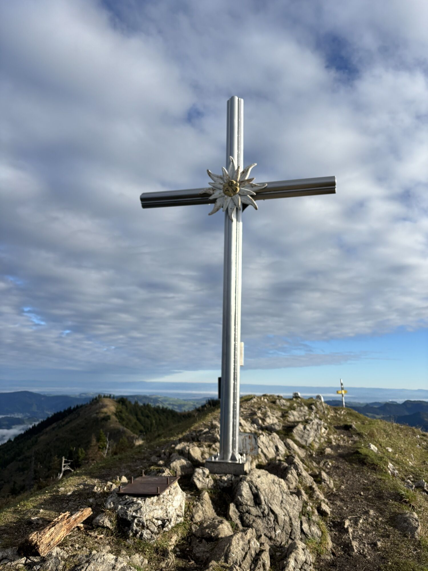
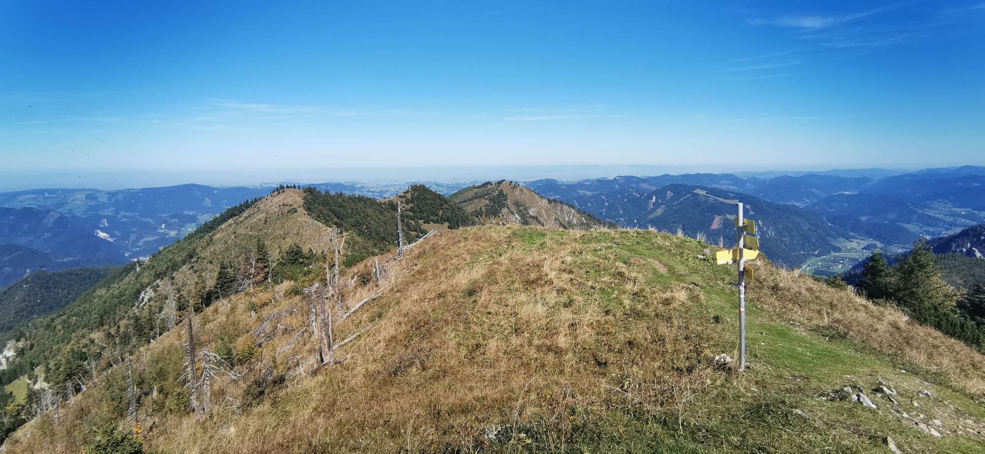
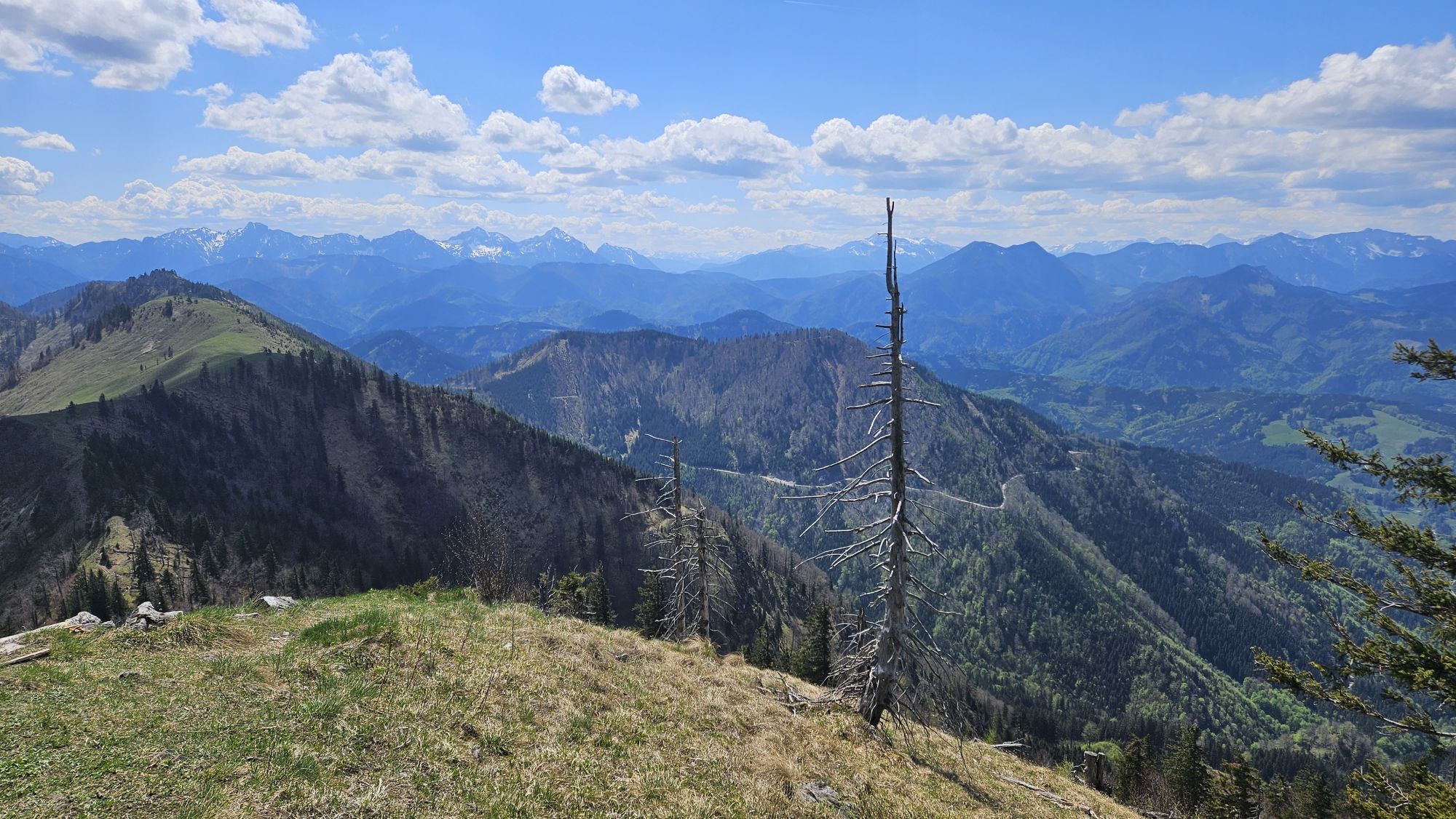
From the parking lot in Klaus im Hammergraben first follow the gravel road, then the trail leads over a wooden footbridge to a path through the forest. Past the Saileralm, it goes up the Arzbach to the Almkogel (1,513 m) and over the transition to the Hühnerkogel (1,474 m).
Trail number: 494


The starting point for this summit tour is in the Hammergraben in Kleinreifling. The first part of hiking trail 494 leads along a forest road. Then continue to the right over a wooden footbridge on a trail through the forest. You cross the Saileralm and follow the markings constantly uphill to the Almboden and the Almkogel. Via the crossing you reach the Hühnerkogel.
Ja
Ja
Ja
From Salzburg/Linz: A1 motorway exit Enns-Steyr > B115 into the Enns Valley
From Vienna: A1 motorway exit Haag > B42 > B122 > B115 into the Enns Valley
From Passau: A8 Passau > Wels > A1 motorway exit Enns-Steyr > B115 into the Enns Valley
From Graz: A9 Pyhrnautobahn > motorway exit Klaus > Grünburg > into the Ennstal Valley
The Ennstalbahn runs between Linz and Weißenbach-St. Gallen.
Details at www.ooevv.at
Railway Stations are located in Steyr, Garsten, Lahrndorf, Dürnbach, Ternberg, Trattenbach, Losenstein, Reichraming, Großraming, Gaflenz, Weyer, Küpfern, Kastenreith, Kleinreifling and Weißenbach-St. Gallen.
Weyer/Kleinreifling - parking in Klaus
No gastronomy along the way, so bring drinks and a snack if needed.
Populära turer i närområdet
-
4,7
Steinerner Jäger (1185m) und Schieferstein (1206m) ab Parkplatz Hochhabichler
MediumVandring 4,46 km -
4,8
Ennser Hut - Almkogel (from Bamacher car park)
MediumVandring 3,53 km -
4,7
GROSSRAMING Bamacher, Burgspitz, Almkogel, Ennshütte 20240730
MediumVandring 10 km -
4,3
Hollenstein Stupfmauer Voralpe Tanzboden retour 20.08.2016
MediumVandring 15,6 km -
3,8
Wasserklotz
MediumVandring 5,81 km -
3,8
Ebenforstalm Rundtour
ljusMountainbike 44,6 km -
4,0
Schieferstein und Steinerner Jäger von Reichraming, Oberösterreich
MediumVandring 3,82 km -
4,0
Ennser Hütte, Stallburgalm, Burgspitz, Almkogel
MediumVandring 11,6 km -
3,8
Lindaumauer (1103 m)
Vandring 3,40 km -
4,6
Steinerner Jäger (1185m) und Schieferstein (1206m) ab Parkplatz Hack
tungVandring 8,58 km

Vandring och spårning


Missa inte erbjudanden och inspiration inför nästa semester
Din e-postadress har lagts till på e-postlistan.