


Glarina


This easy hike leads through meadows and forests and over bubbling mountain streams down to Glarina and back up to Vasön. The bridge over the Mülitobel and the Antonius Chapel in Vasön are well worth a...
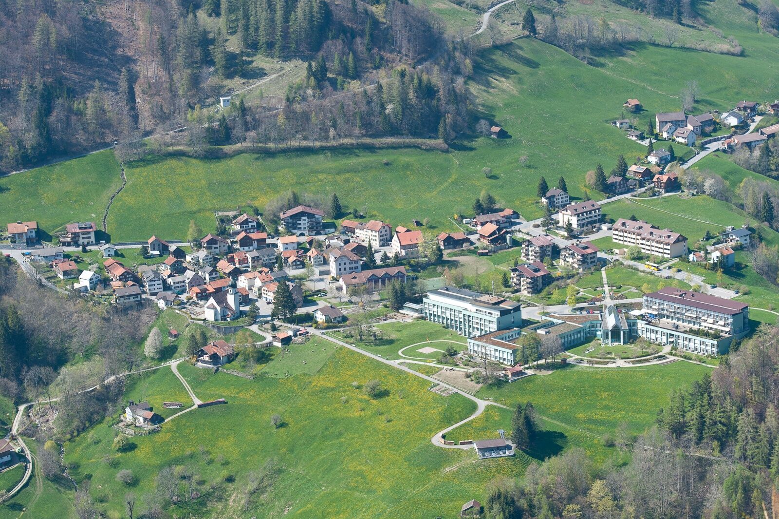
This easy hike leads through meadows and forests and over bubbling mountain streams down to Glarina and back up to Vasön. The bridge over the Mülitobel and the Antonius Chapel in Vasön are well worth a stop. On the way back to Valens, the old Tschennertobel bridge can be walked with a small loop into the valley. If you want to stop off and rest more quickly in Valens, take the direct route over the new bridge.


Valens - Glarina - Mühletobelbrücke - Vasön - Tschenner - Valens
Normal hiking equipment. Depending on the weather, good footwear (hiking boots) is recommended, otherwise light trekking shoes are also sufficient for the tour.
As some sections of the route are located directly next to the highway, special care is required.
Take the highway exit Bad Ragaz, then take the mountain road in the direction of Pfäfers/Valens to Valens.
By train to Bad Ragaz, then by post bus to Valens.
Parking spaces are available at the clinic.
Heidiland Tourism, Bad Ragaz information point
T +41 81 300 40 20
www.heidiland.com
After the walk, you can relax in the thermal pool at the Valens Clinic.
Webbkameror för rundturen
Populära turer i närområdet
-
4,8
Pizalun circular route
ljusVandring 7,18 km -
4,6
5-Seen Wanderung am Pizol
ljusVandring 10,1 km -
4,7
Pizol - Batöni - Weisstannen
tungVandring 11,7 km -
Lake Chapfen round trip
ljusVandring 4,27 km -
4,5
Off to the Falknis
tungVandring 18,2 km -
5,0
Circular hike Bettlerweg & 2-Lakes Hike Pizol
MediumVandring 11,4 km -
Vilan round tour
tungVandring 12,2 km -
4,5
Pizol summit tour
MediumVandring 9,28 km -
4,5
Bad Ragatz mit Taminaschlucht nach Pfäffers
MediumVandring 16,3 km -
5,0
Maienfeld-Fläsch Wine Route
ljusVandring 12,3 km
Vandring och spårning


Missa inte erbjudanden och inspiration inför nästa semester
Din e-postadress har lagts till på e-postlistan.