


Winter hike Laui


Pleasant winter hike with a unique view of the Churfirsten and the Säntis massif. Let yourself be enchanted by the Toggenburg winter landscape.

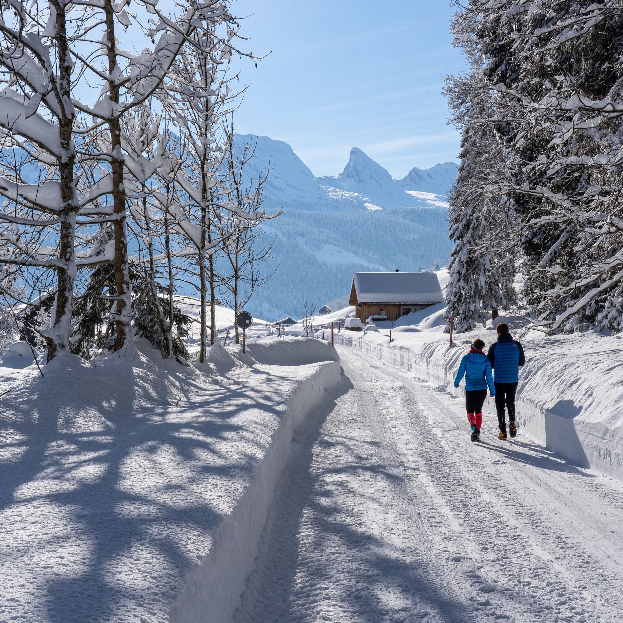
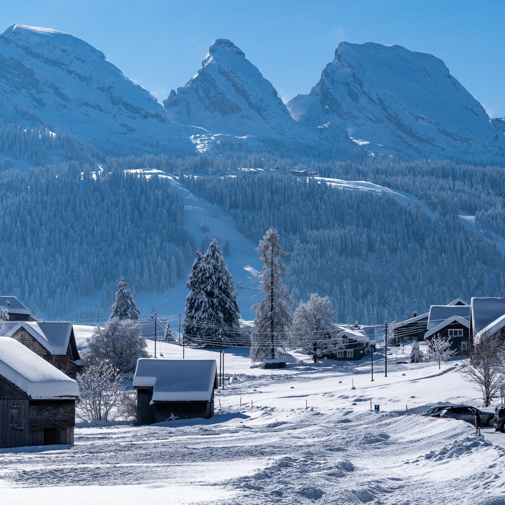

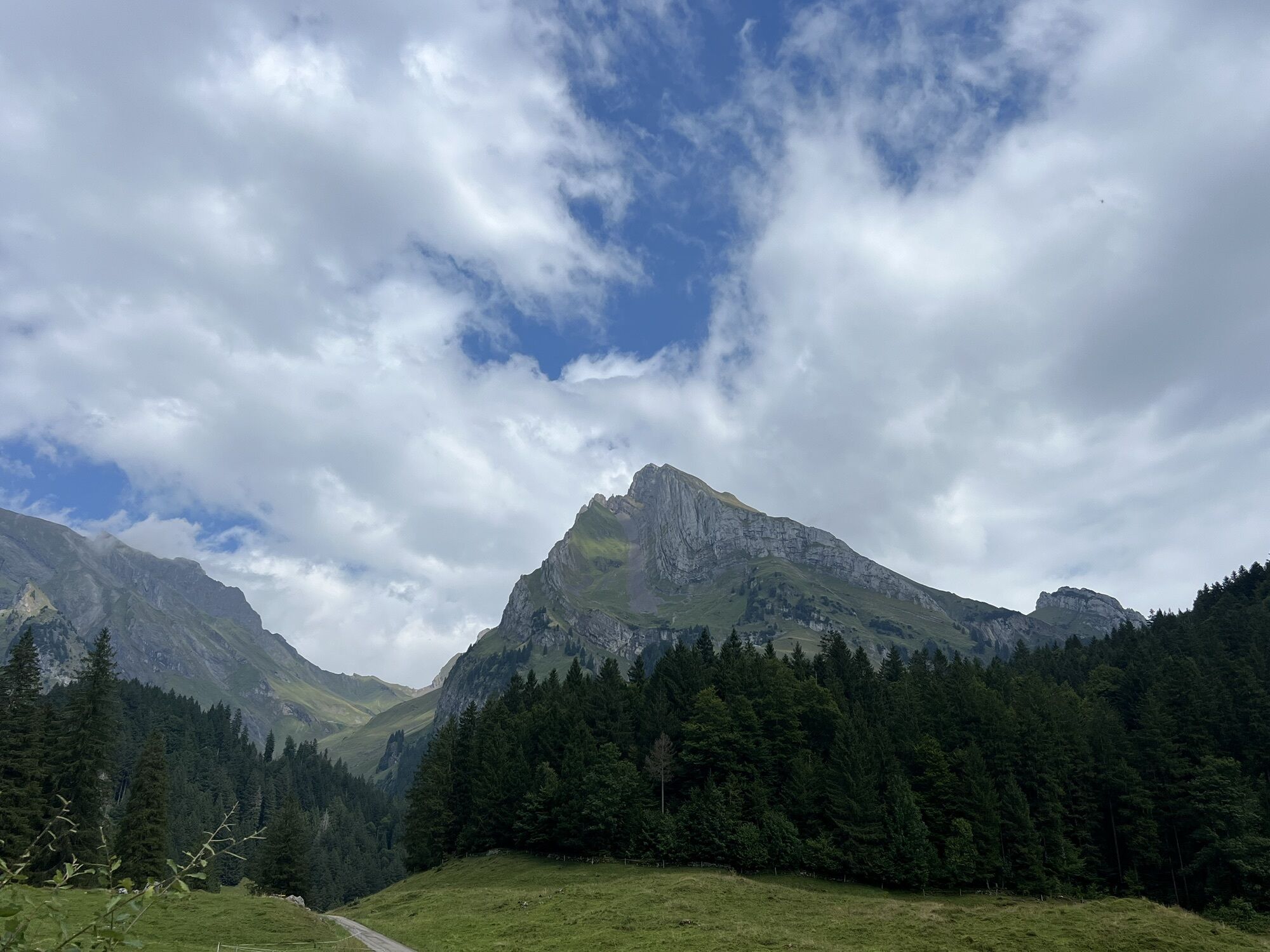
The winter hiking route starts at the Parkplatz Restaurant Älpli and follows the road, which is hardly used in winter, up to the summer barbecue area Laui.
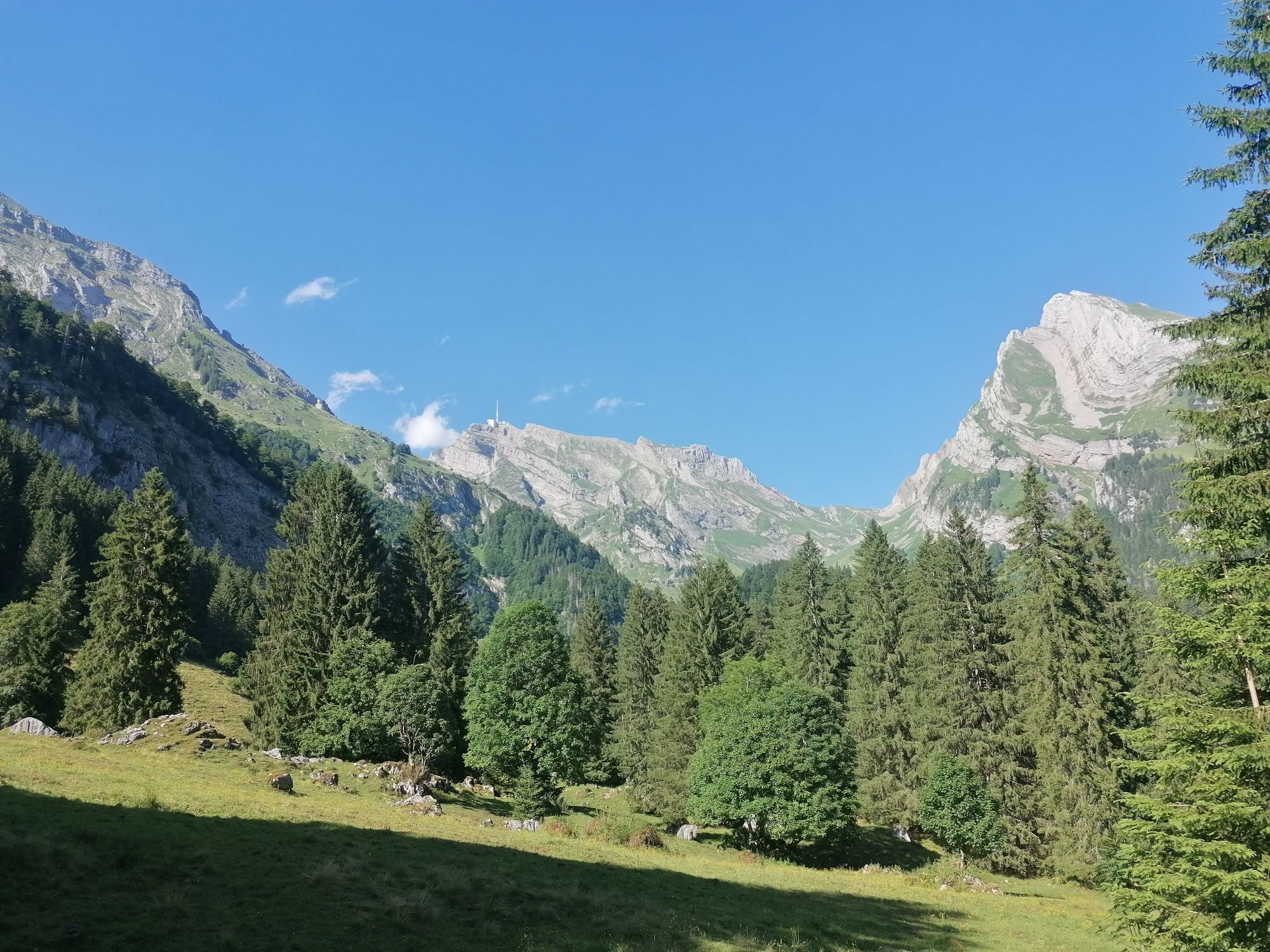
From there, it leads in a loop with beautiful views of the Säntis and the Churfirsten back to the starting point. The hike can also be started from the village of Unterwasser or Wildhaus.
Ja
Ja
Winter shoes with non-slip soles.
Sun exposure is increased in the mountains. Sunscreen with a high protection factor, sun hat, and sunglasses with UV protection should definitely be in your packing list.
The winter hiking route is closed at avalanche danger level 4 (high).
Please inform yourself about the current avalanche situation at: www.slf.ch.
From Unterwasser towards Nesselhale / Chüeboden.
Take the train to Nesslau Neu St. Johann station and from there the bus to Unterwasser village.
From the Rhine Valley, take the train to Buchs station and then the bus to Wildhaus village. From there, it is about a 30-minute walk to the starting point Parkplatz Restaurant Älpli.
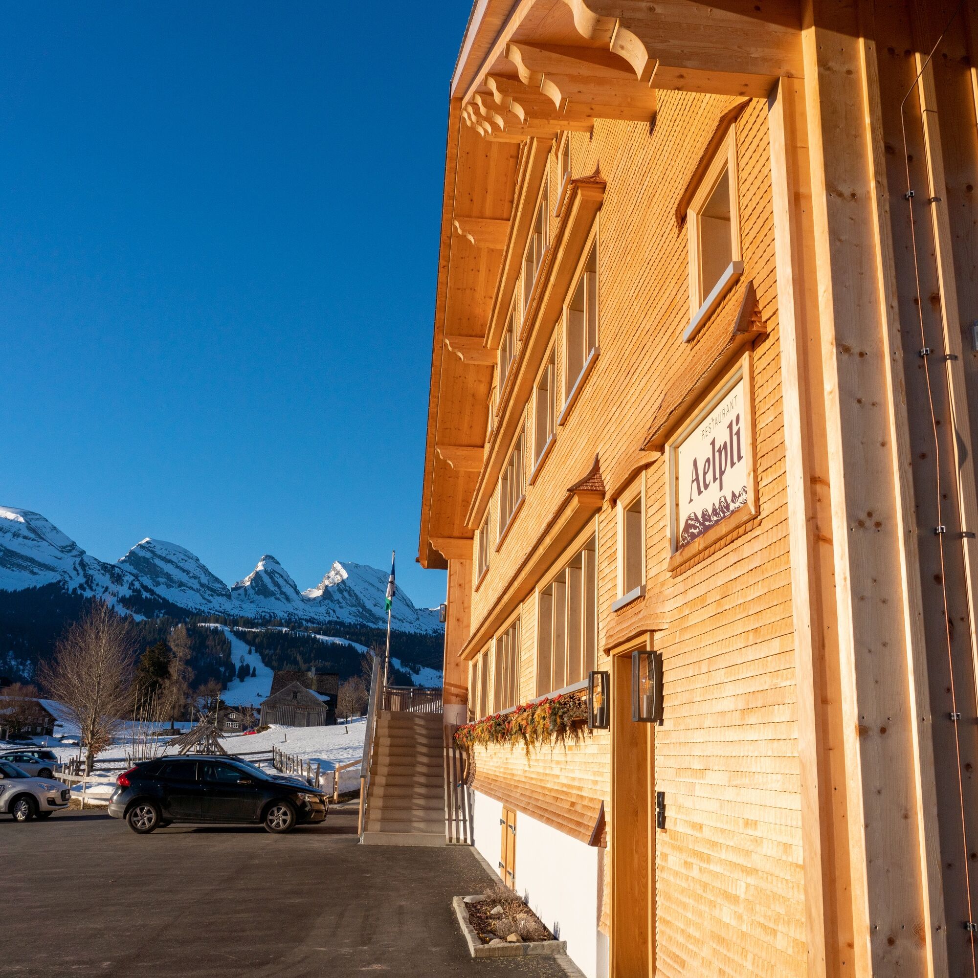
Parking lot Restaurant Älpli. Free of charge for customers at Restaurant Älpli.
The restaurant Älpli invites you to linger with spectacular views of the Churfirsten and regional delicacies.
Populära turer i närområdet
-
4,5
Tour Brülisau - Saxerlücke - Hoherkasten⛰
tungVandring 16,6 km -
4,7
Riviera Walensee Walenstadt - Quinten
MediumVandring 10,4 km -
4,9
Säntis-Gipfeltour, Wasserauen / Appenzell Innerrhoden
tungVandring 21,1 km -
4,7
Wasserauen - Seealpsee - Wasserauen
MediumVandring 7,71 km -
5,0
Staubern-Runde (15.8.2021)
MediumVandring 8,65 km -
4,5
Weesen - Quinten - Walenstadt
tungVandring 20,6 km -
4,8
Seealpsee
MediumVandring 12,3 km -
5,0
Seealpsee Runde
MediumVandring 8,22 km -
3,0
Ebenalb, Aescher, Seealpsee, Meglisalp, Wasserauen
tungVandring 13,6 km -
5,0
Traumhafte 3-Seen/Hütten Runde in Appenzell Schweiz
MediumHög tur 19,7 km

Vandring och spårning


Missa inte erbjudanden och inspiration inför nästa semester
Din e-postadress har lagts till på e-postlistan.