


CASTELLAMONTE Morena Ovest Loop
Svårighetsgrad: 2


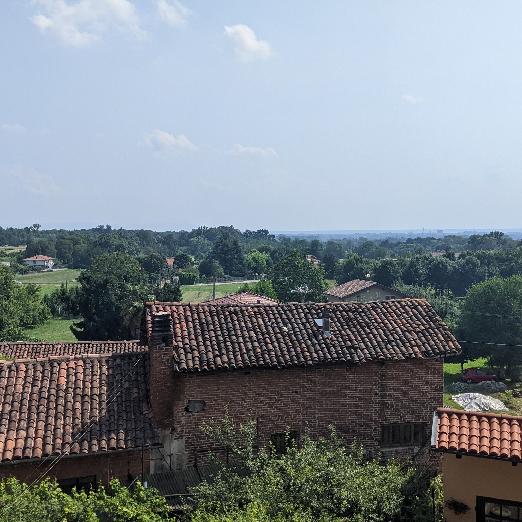
Bicycle loop on roads, cycle paths, and simple trails that enters the historic centers of the municipalities located on the hills of the Morainic Amphitheater, allowing you to visit their historical and...
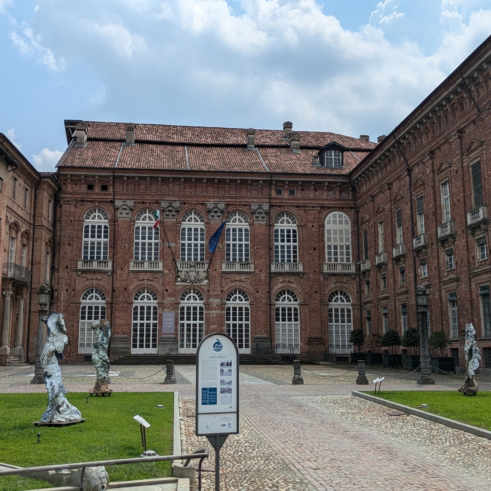
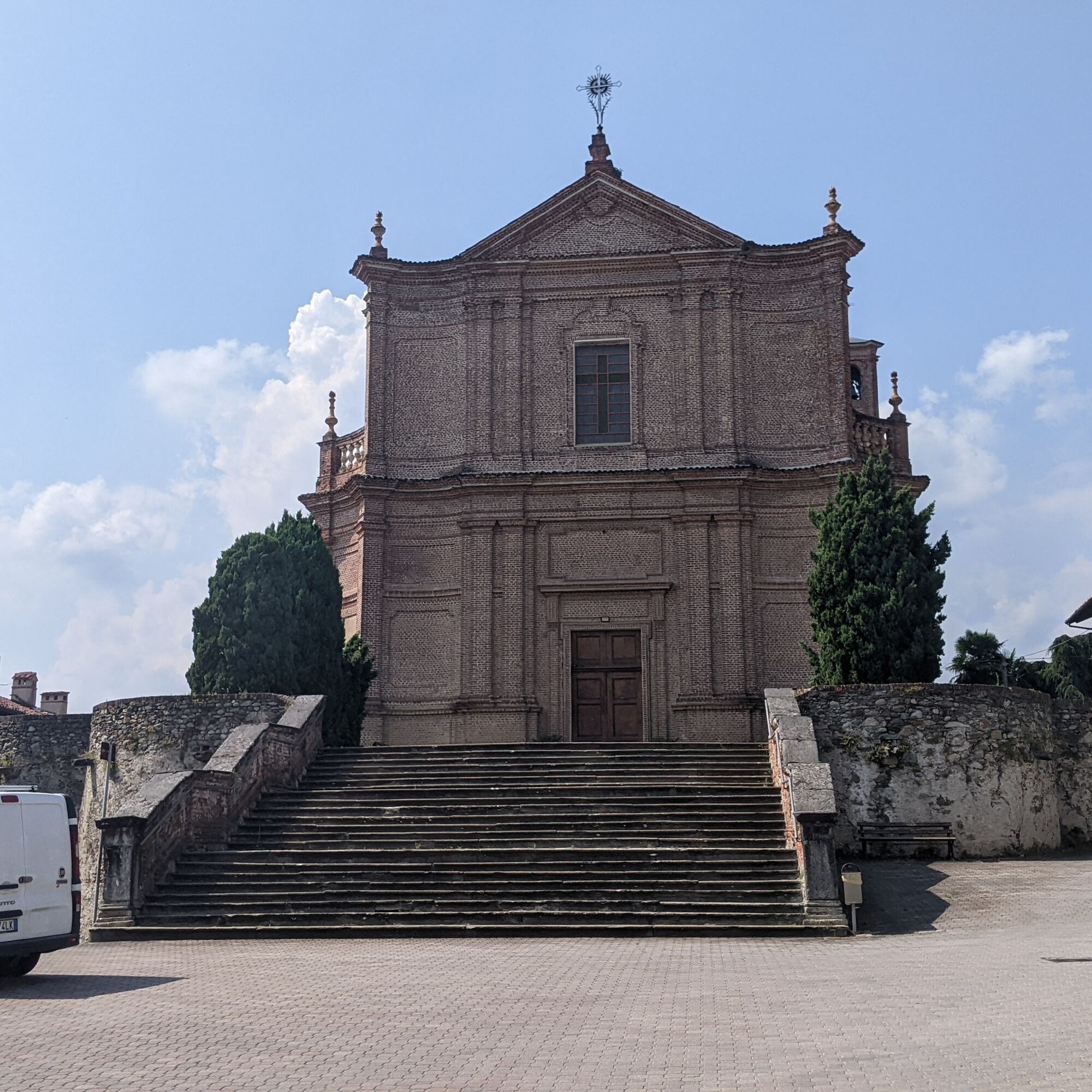
Bicycle loop on roads, cycle paths, and simple trails that enters the historic centers of the municipalities located on the hills of the Morainic Amphitheater, allowing you to visit their historical and architectural beauties, such as the Agliè castle, the Caluso canal, ancient castles, numerous churches, and panoramic viewpoints.

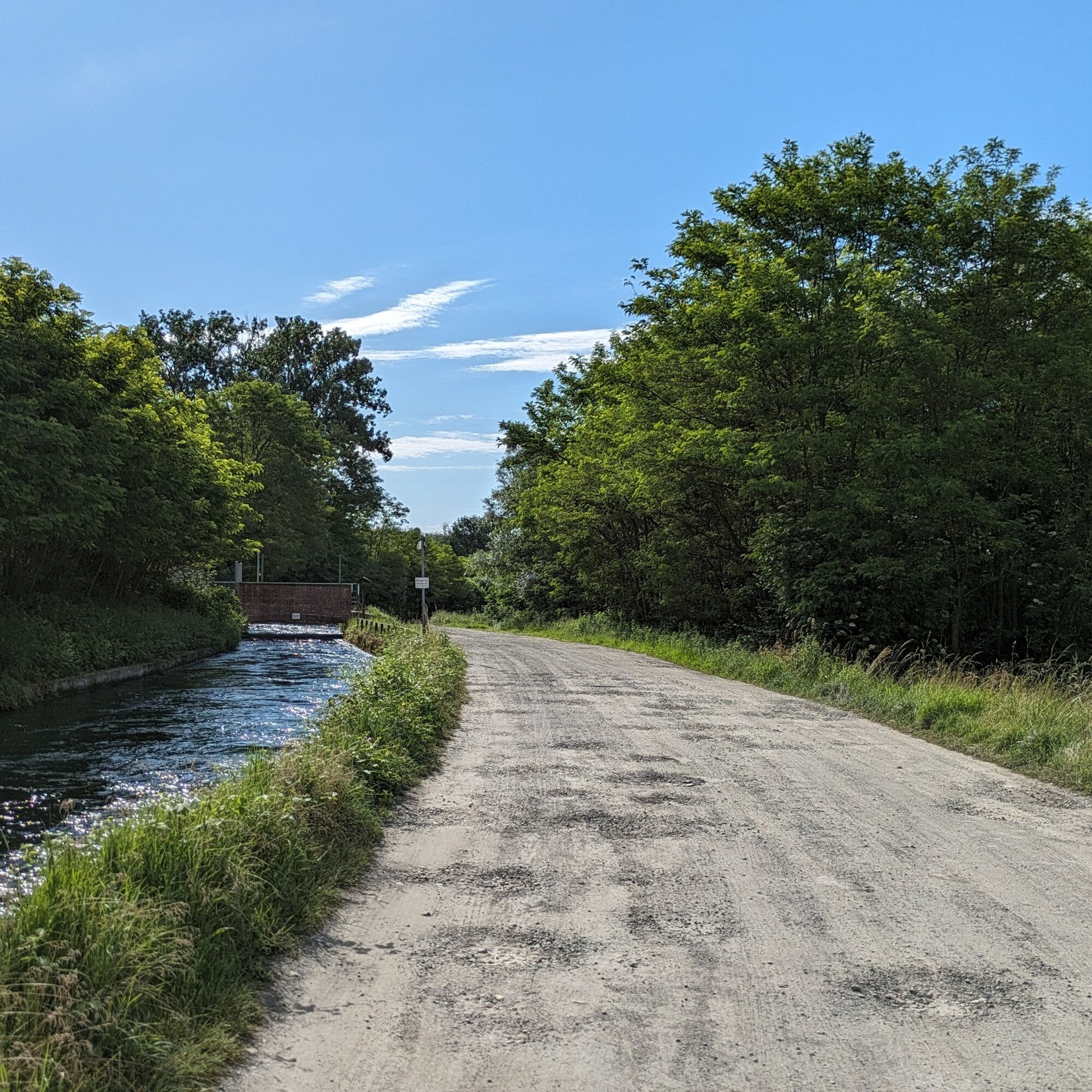
From the small roundabout on via Caneva, take via ex internati and immediately after turn slightly left onto via Saint Amand en Puisaye; upon reaching a roundabout turn right onto via Nubola and at the next intersection turn left onto via Roma. Then you must cross the SP 222 (caution!) to take via Casari that runs alongside a commercial area and leads onto strada della Specca where an agricultural area begins. After just over 1 km turn left onto strada Canale Caluso which continues into the unpaved strada Carossia.
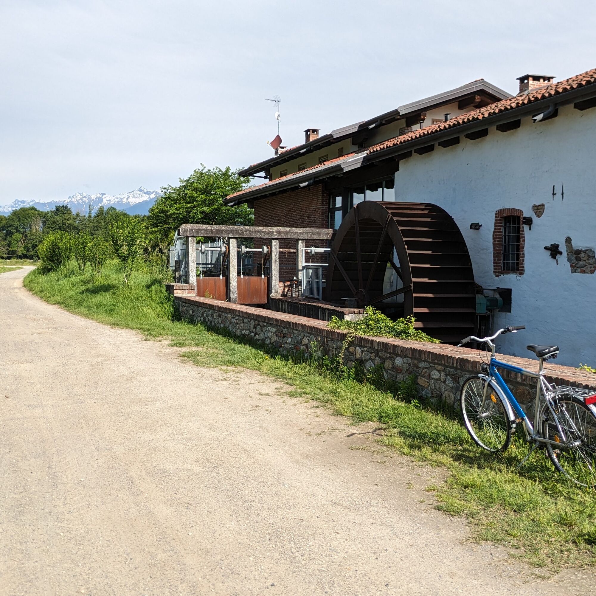
Then turn left onto via Molino: follow the road running alongside the canal, cross the SP 41 and then enter Agliè, passing an old Olivetti factory. Turn left onto via Giuseppe Frua, right onto via del Cimitero and left uphill (via Nazario Ivrea). Then turn right onto via Principe Tommaso (a street with arcades) to reach the square of the Agliè Castle. Continue along the road which later runs again alongside the Caluso canal (possibility to ride a cycle path for a short stretch). Upon reaching the junction with strada Luisetta, leave the road to San Giorgio and continue along the canal for several kilometers. Then you come out onto via missionari Oblati: turn right and shortly after reach the center of San Giorgio Canavese.
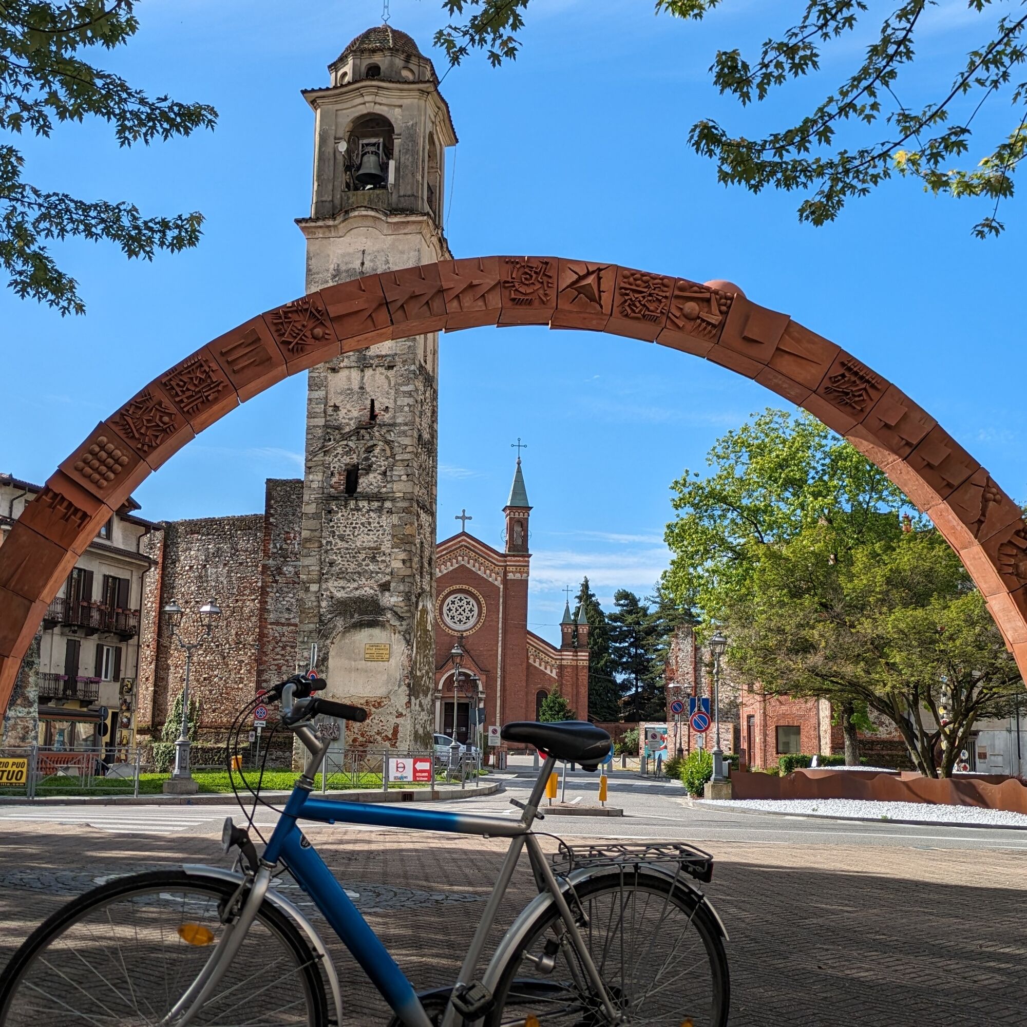
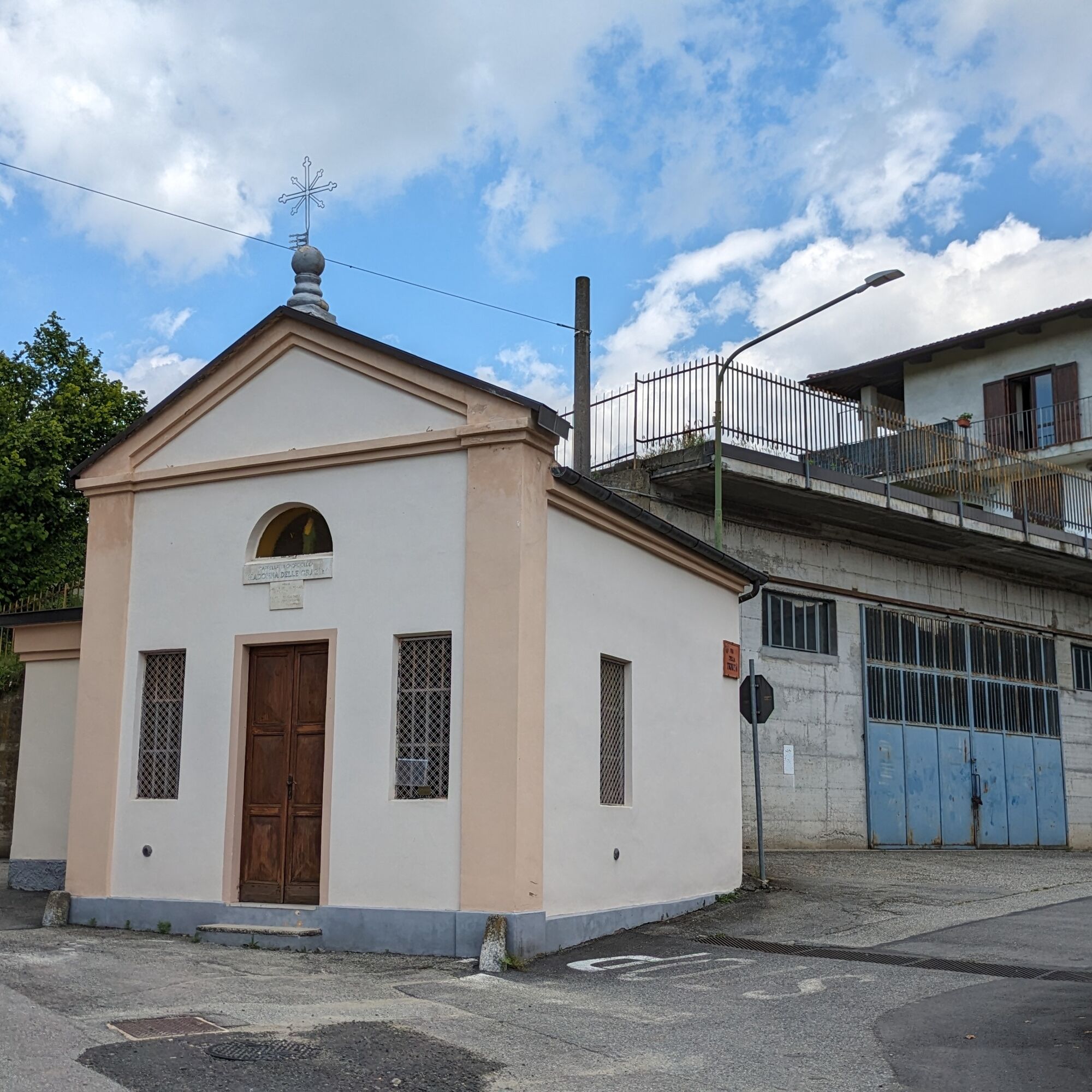
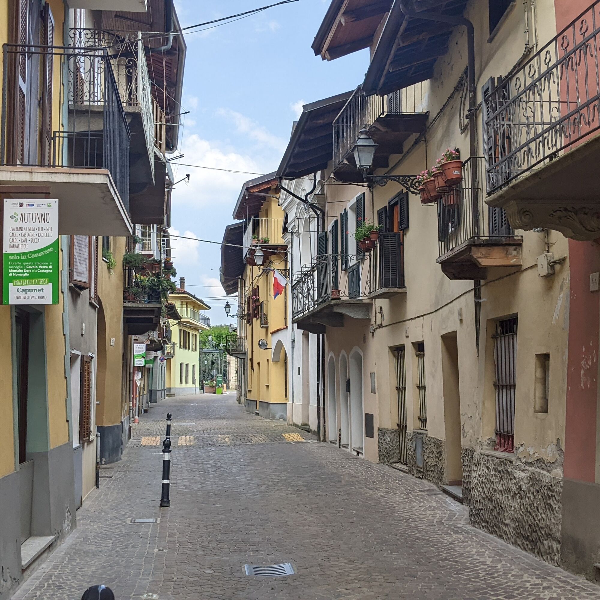
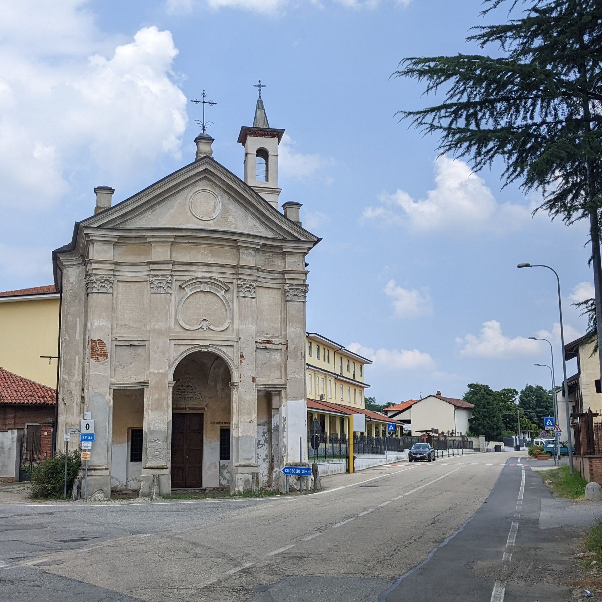
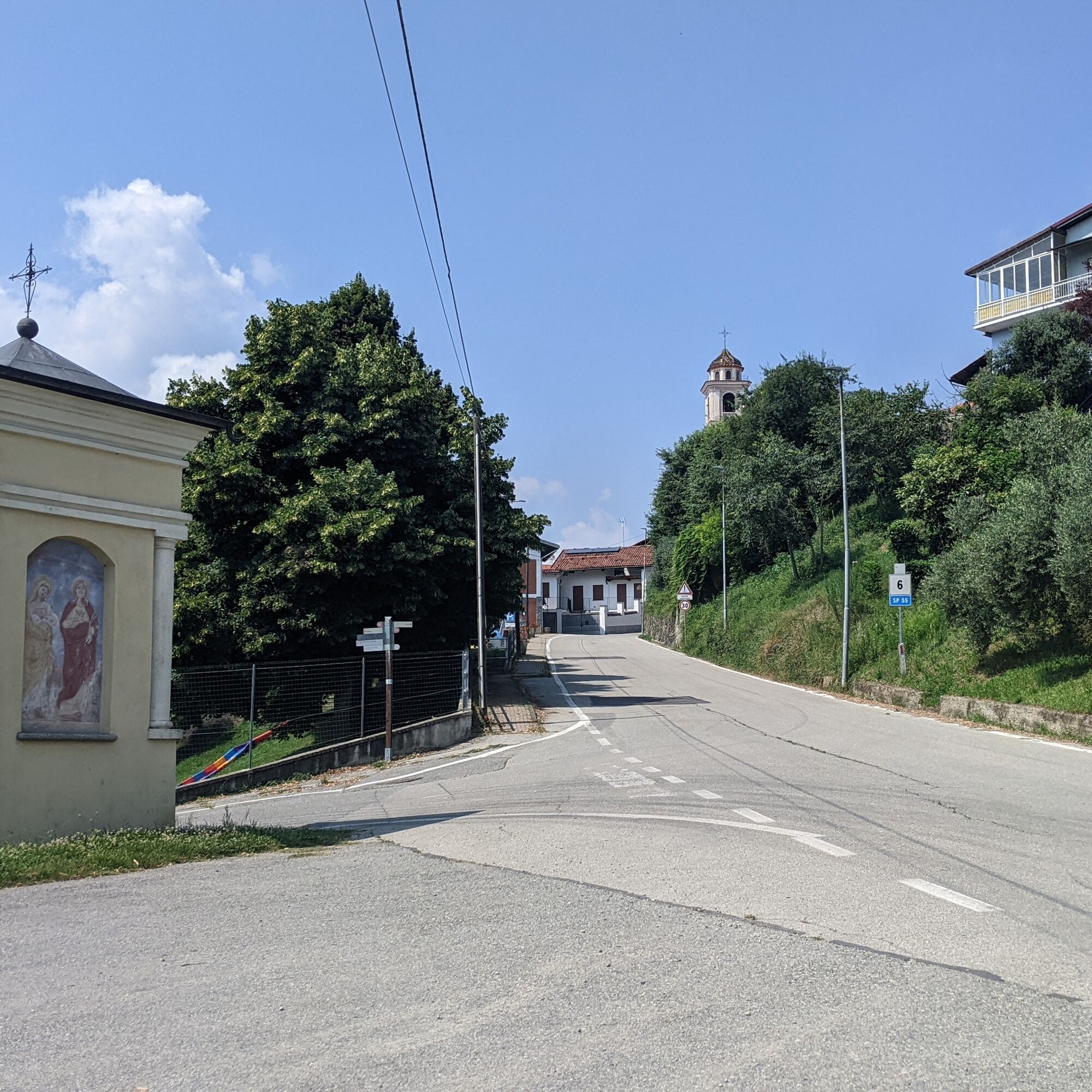
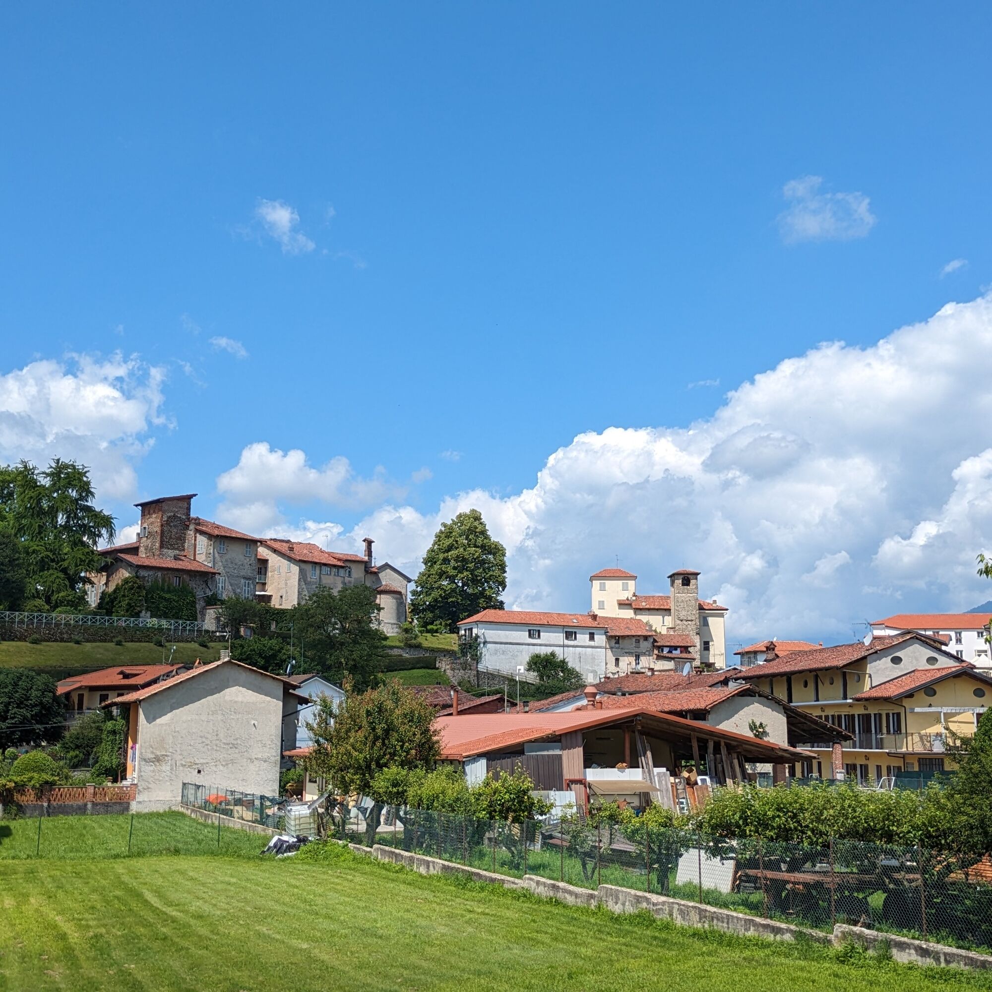
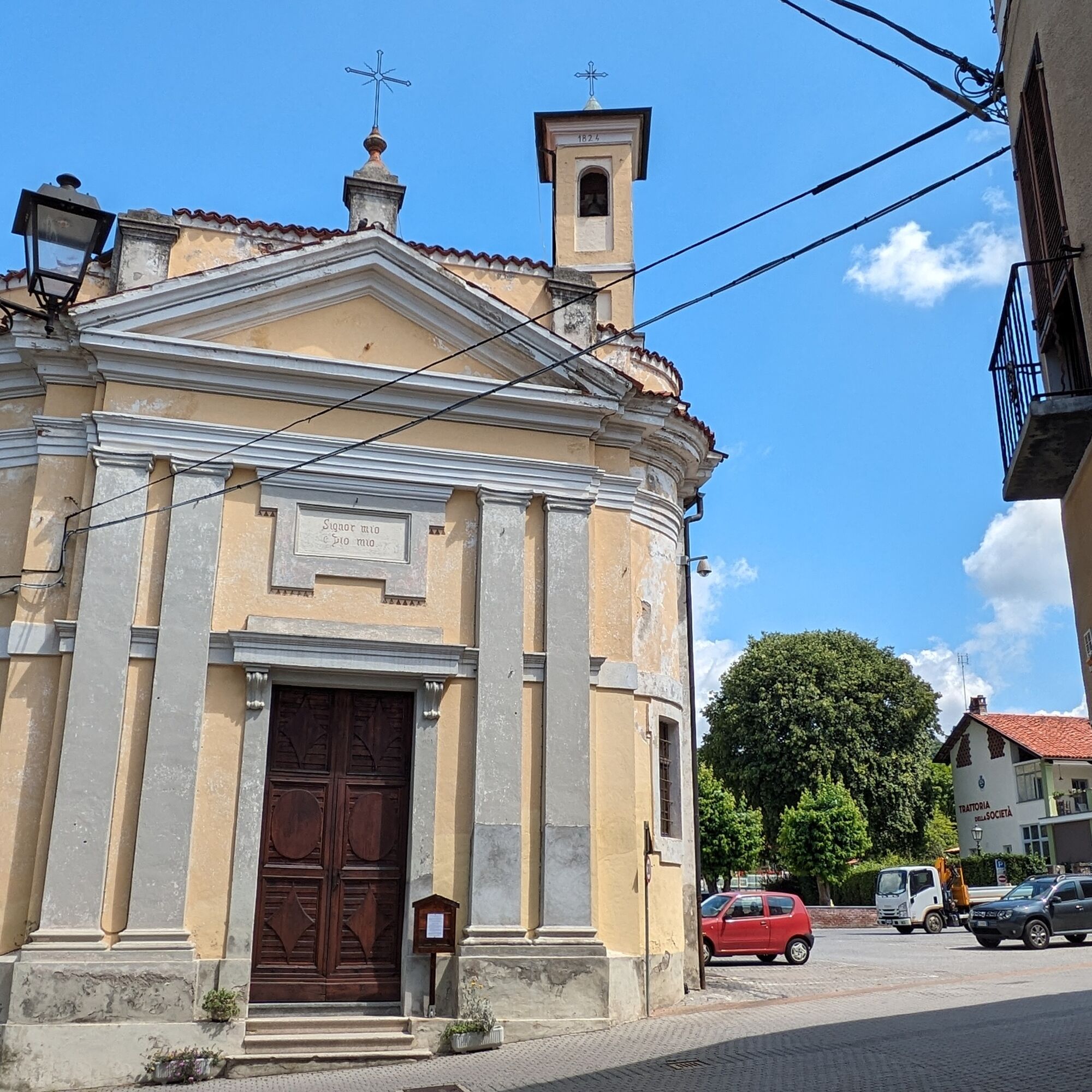
Arriving opposite the Church of Santa Maria Assunta turn left onto via Camillo Benso Conte di Cavour. Then leave the center of San Giorgio, continue straight on the provincial road to Montalenghe where you turn left into the small Don G. Arvat street. Upon reaching Sp 82 turn left and continue until reaching Villate: then turn right among the houses, at the first intersection (with votive pillar) turn left and again left. Then cross the provincial road, go up a few meters to the left and enter a small street, which shortly after you leave to the right for an unpaved road entering the woods after running alongside a garden. The unpaved road ends on another unpaved road running alongside the motorway: turn left, then cross the motorway on a footbridge. The small road ends near a junction: continue straight on SP 54 which enters Cuceglio. After a large shed turn right onto via Chioso and after a climb turn left onto via Alberito. Then keep right to take the provincial road to Vialfrè. Further on turn left onto provincial road 55 and reach Vialfrè, continue along the road crossing the village and reach San Martino. At the traffic light turn right and enter the church square. Then turn left, pass beside the town hall and reach via Arduino which crosses the entire center and leads back onto provincial road 56: follow it to Silva. Then keep right at a votive pillar and enter among the houses to emerge again onto the provincial road further ahead. Near Torre Canavese turn right onto via Breia, then into piazza San Defendente up to the Church of San Grato. Descend another hundred meters and turn left onto via Isabella then right to reach SP 41. Turn left and at the roundabout turn right onto strada Bairo. In the center of Bairo keep right to take via Castellamonte: proceed straight until emerging onto SP 222 where you turn left. Continue straight and enter the center of Castellamonte to turn left onto Largo Talentino, then piazza Martiri della Libertà and the starting point.
Bicycle helmet, bicycle pump, puncture repair kit, light and reflectors, bicycle tools, bicycle backpack (about 20 liters with rain cover), sunglasses, gloves, sun and rain protection, snacks and drinking water, water bottle with convenient holder, first aid kit, synthetic ice pack, mobile phone, maps.
Make yourself visible when traveling on carriageable roads by using lights and reflective clothing.
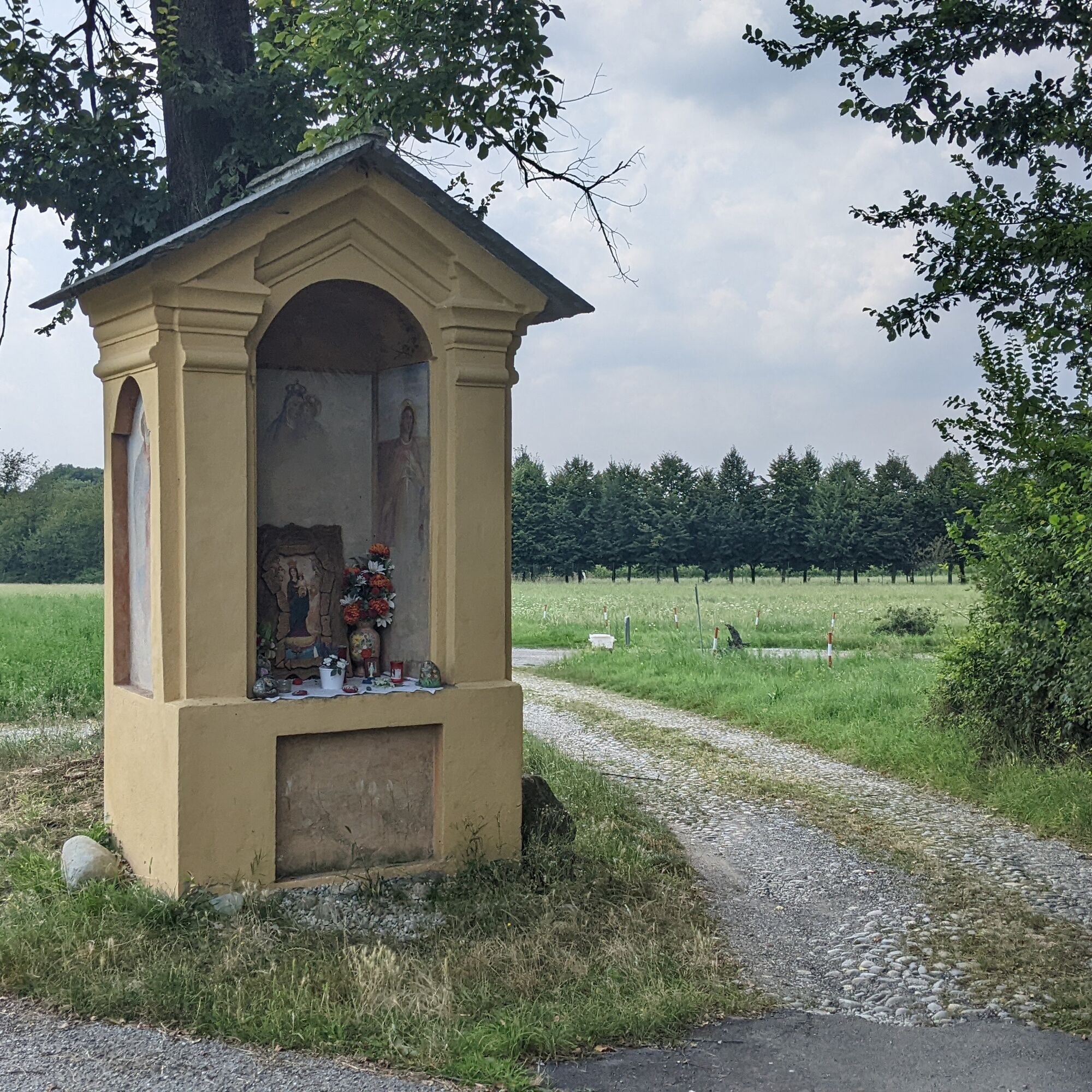
Fountains and refreshment points are available in the historic centers.
The closest highway exits by car (A5 - Turin - Aosta) are:
- Exit San Giorgio C.se (12 km)- Exit Scarmagno (13 km)- Exit Ivrea (14 km)
Website: https://www.ativa.it
Several bus lines managed by GTT are available: visit the GTT website for schedules and stops.
The nearest train station is in Rivarolo (8 km) connected to Turin by the SFM1 rail line (visit the website of the Turin metropolitan railway service).
Large parking lot on via Caneva near the start of the route.
2
For further information about the Morena Ovest thematic route: morenaovest.it
For all tourist information consult the web portal Turismo in Canavese.
Before undertaking any excursion, it is advisable to check the weather reports or ask for information at local Tourist Offices.
It is good practice not to undertake an excursion alone and always inform someone of your destination.
Do not litter in the environment but take your waste with you, possibly collecting that left by others.
Travel times indicated are approximate and may vary according to weather conditions and personal abilities.
Stop to visit the historic centers of the municipalities you pass through.
Populära turer i närområdet
-
Ring of the ancient Balteo Glacier
MediumLångväga cykelväg 195,4 km -
VIALFRÉ Morena West Loop
MediumMountainbike 22,2 km -
MAZZE' Lake Candia and Masino Castle Loop
MediumCykling 44,8 km -
CALUSO Lake Candia Loop Morena West
MediumCykling 31,0 km -
IVREA Anello Ivrea - Alice Superiore
MediumLångväga cykelväg 35,0 km -
Ring of the Ancient Balteo Glacier (stage 2)
MediumLångväga cykelväg 56,8 km -
CORIO Runde Oberes Canavese Westmoräne
MediumCykling 76,4 km -
CASTELLAMONTE Sacred Valley Loop - Lower Valchiusella
MediumCykling 27,8 km -
TORRE CANAVESE Nature Route
ljusVandring 6,71 km -
BALDISSERO CANAVESE Anello Valchiusella
MediumLångväga cykelväg 35,9 km
Vandring och spårning


Missa inte erbjudanden och inspiration inför nästa semester
Din e-postadress har lagts till på e-postlistan.