


CASTELLAMONTE Sacred Valley Loop - Lower Valchiusella
Svårighetsgrad: 2


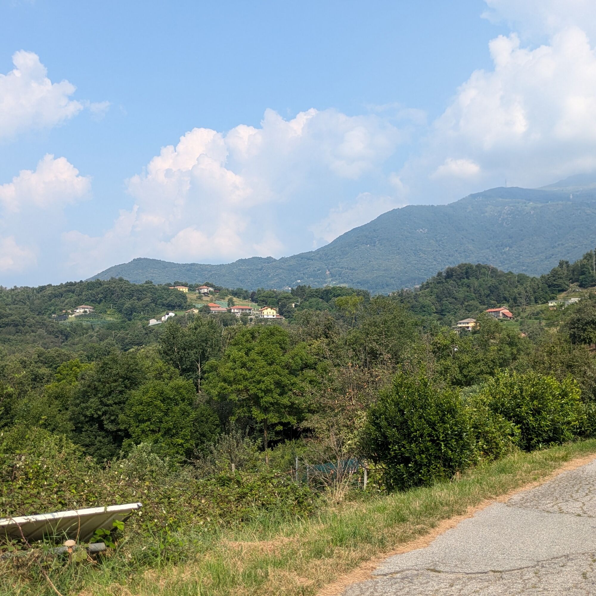
Loop route, also doable on gravel, starting from the center of Castellamonte and climbing into the nearby Sacred Valley, touching small hamlets among woods and views over the Canavese plain.
Then it crosses...
Loop route, also doable on gravel, starting from the center of Castellamonte and climbing into the nearby Sacred Valley, touching small hamlets among woods and views over the Canavese plain.
Then it crosses the lower Valchiusella, passing through the historic centers of Issiglio, Vidracco and Baldissero Canavese.
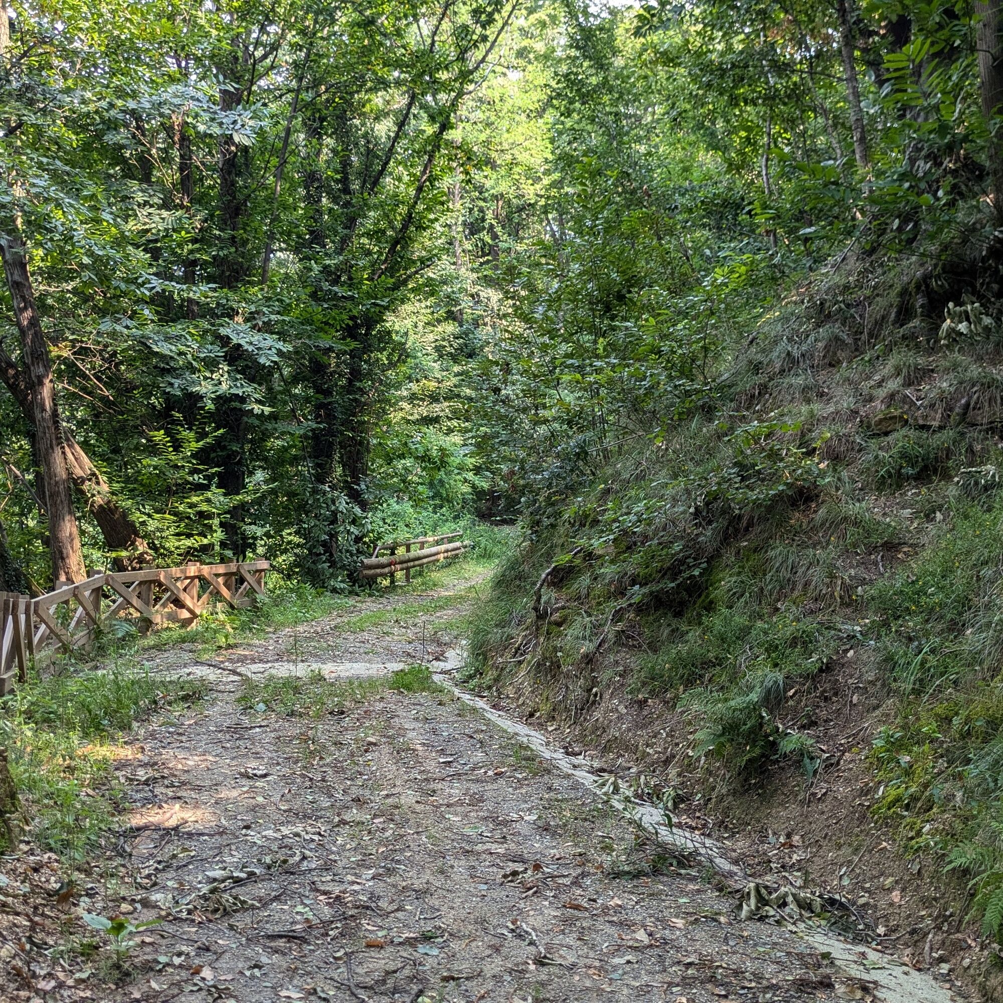
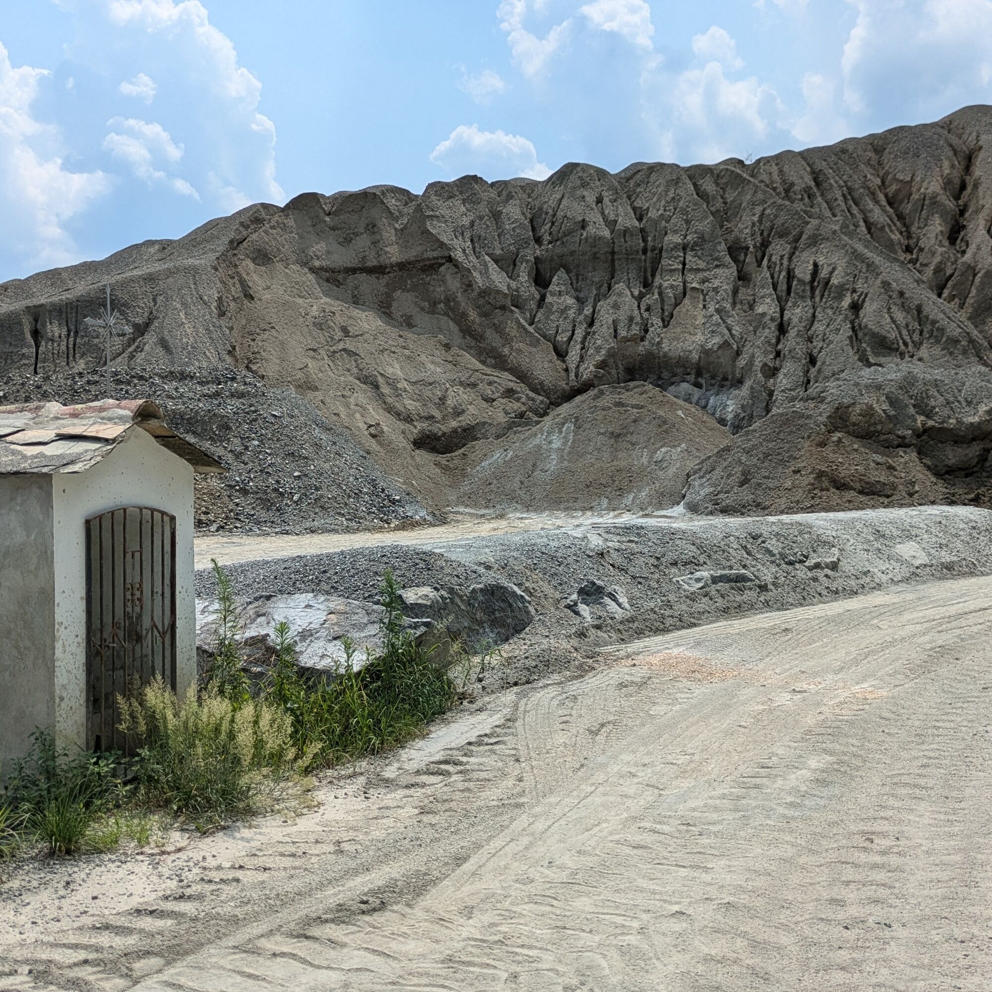
Particularly scenic is the dirt stretch running alongside the mining extraction site below Torre Cives.
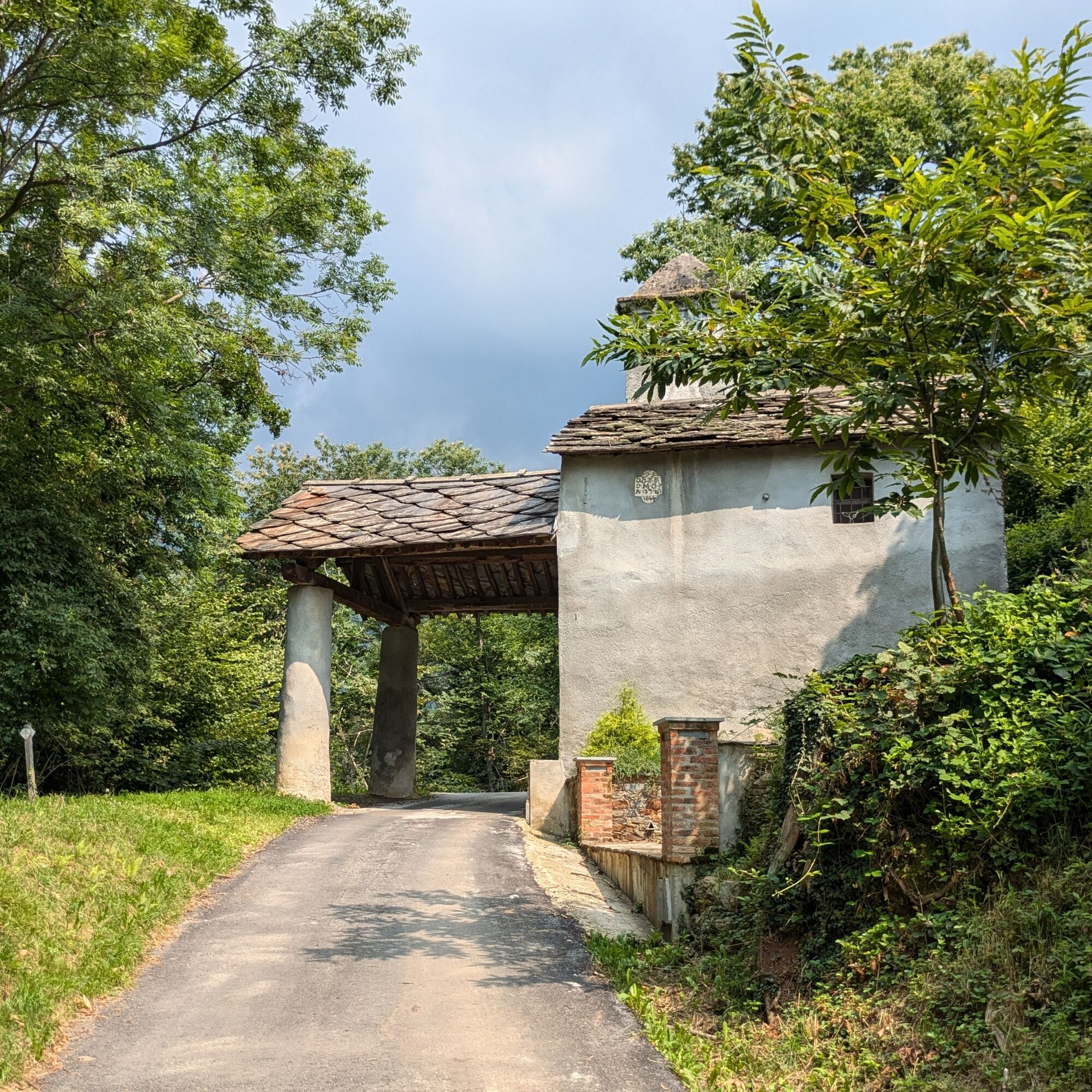
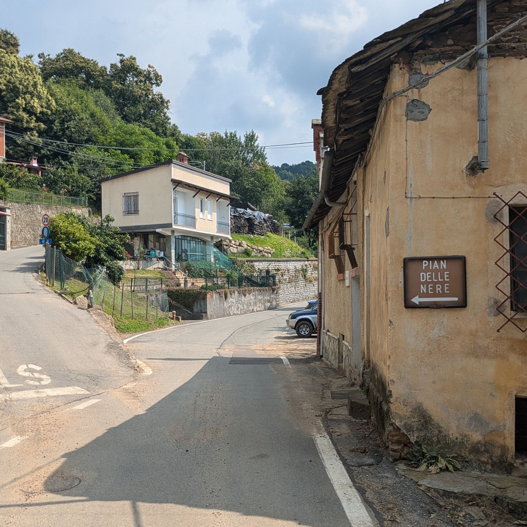
From the small roundabout continue along via Caneva towards the center, then turn left onto via Massimo D'Azeglio. At the Church of San Rocco, turn left onto the provincial road and after a few meters, at the curve, take the small road on the left which climbs cutting some curves of the main road. After rejoining the provincial road, turn right at the fork towards Filia. Then at the next fork turn left. Continue to climb until the main square of Filia, then turn left next to the Osteria. Then turn right onto the provincial road to Castelnuovo Nigra; after passing the fork to the Sanctuary of Madonna delle Grazie, at the curve, turn right onto a dirt road. Upon returning to the provincial road, continue straight uphill to Cintano. Turn left onto via Alpi when you reach the chapel of S. Rocco. Continue uphill on the road through the woods; shortly after the church of Sant'Ignazio, turn right at the fork. Continue to Sale Castelnuovo where there is a small detour to the right, then quickly return to the provincial road where at the next fork continue straight.
Stay on SP 61 until Issiglio, where take a sharp left turn to enter the historic center: then take a right turn, then left and right again. You then emerge onto a larger road to follow to the right to exit the town. Rejoin SP 61 and continue to Vidracco where, at the camper rest area, turn right and enter the town. Turn right onto via Umberto I and then left. Continue until you exit the built-up area. Leave the paved road to stay on the right on strada Baldissero (dirt road) which passes near the Torre Cives quarry.
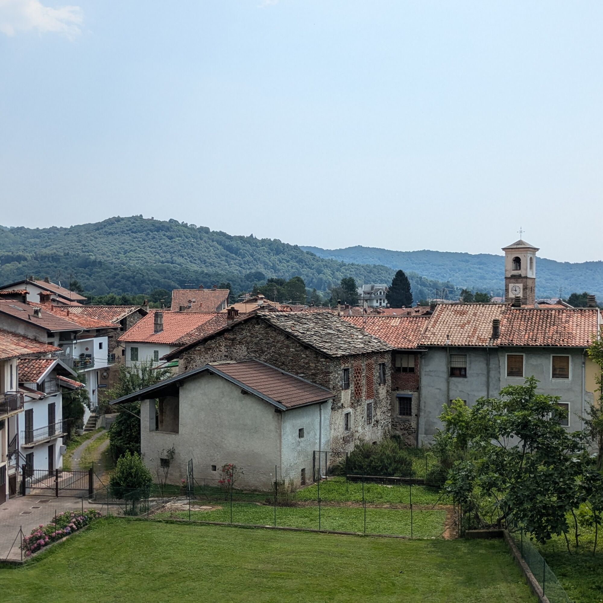
On returning to the provincial road, continue downhill then turn left to enter the historic center of Baldissero Canavese. Continue on SP 61 until you reach the larger SP 222 which you take to the right. Continue for a few kilometers and turn left onto viale Europa in the industrial area. After crossing the road to Bairo turn right. Then again on SP 222 to the left arriving near the center of Castellamonte: at the roundabout turn left, then right passing the supermarket. At the next small roundabout continue straight and arrive back at the starting point.
Bicycle helmet, bike pump, puncture repair kit, front light and reflectors, bike tools, bicycle backpack (about 20 liters with rain cover), sunglasses, gloves, sun and rain protection, snacks and drinking water, water bottle with comfortable holder, first aid kit, synthetic ice pack, mobile phone, maps.
Make yourself visible when traveling on carriageable roads using lights and reflective clothing.
Fountains and refreshment points available in historic centers.
The nearest highway exits by car (A5 - Turin - Aosta) are:
- San Giorgio C.se exit (12km) - Scarmagno exit (13km) - Ivrea exit (14 km)
Website: https://www.ativa.it
There are several bus lines managed by GTT: go to the GTT website for timetables and stops.
The nearest train station is in Rivarolo (8 Km), connected with Turin by the SFM1 railway line (go to the site of the Turin metropolitan railway service).
Large parking lot on via Caneva, near the start of the route.
2
For any further information about the Morena Ovest thematic route: morenaovest.it
For all tourist information consult the web portal Turismo in Canavese.
Before undertaking any excursion it is advisable to check weather reports or ask for information at local Tourist Offices.
It is good practice not to undertake an excursion alone and always inform someone about your destination.
Do not litter but carry waste with you, picking up any left by others.
The reported travel times are indicative and may vary depending on weather and personal abilities.
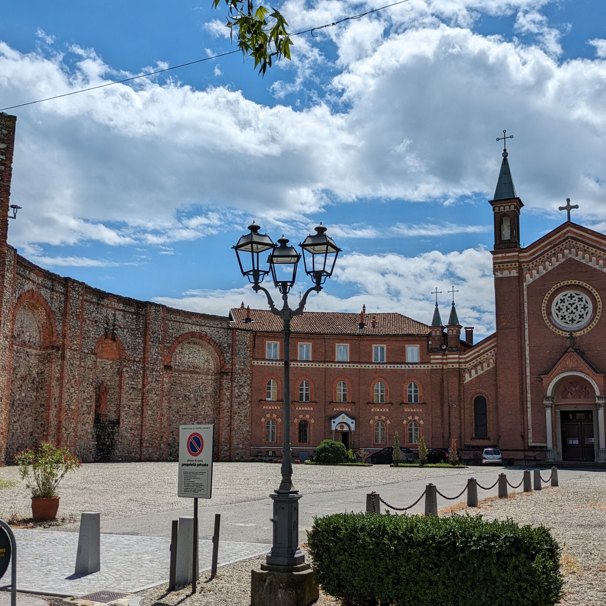
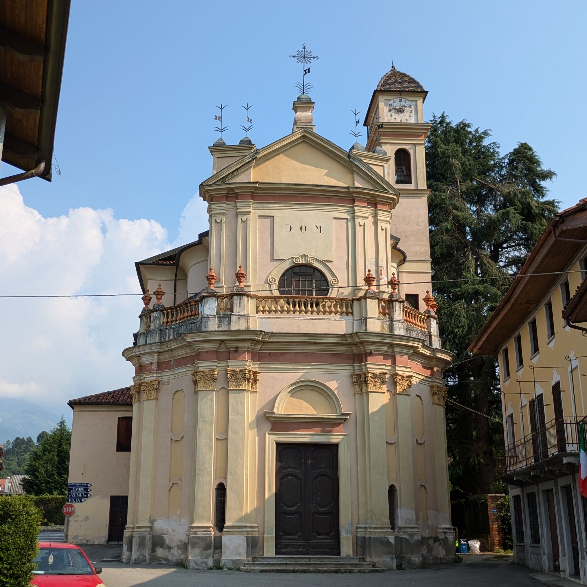
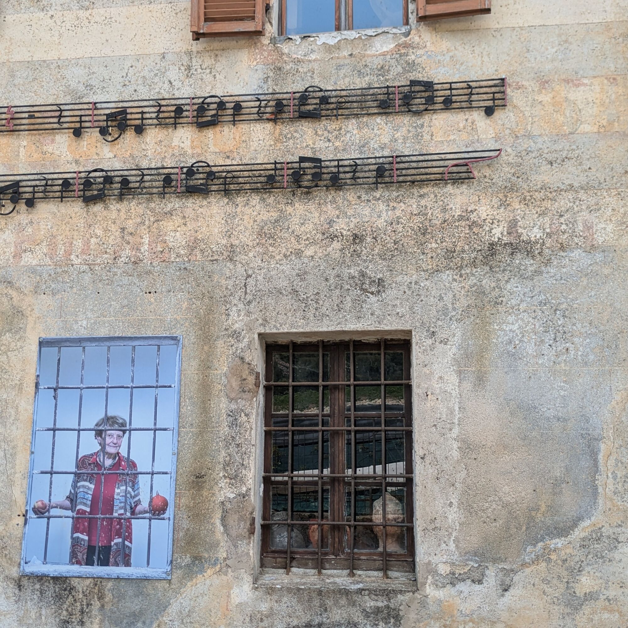
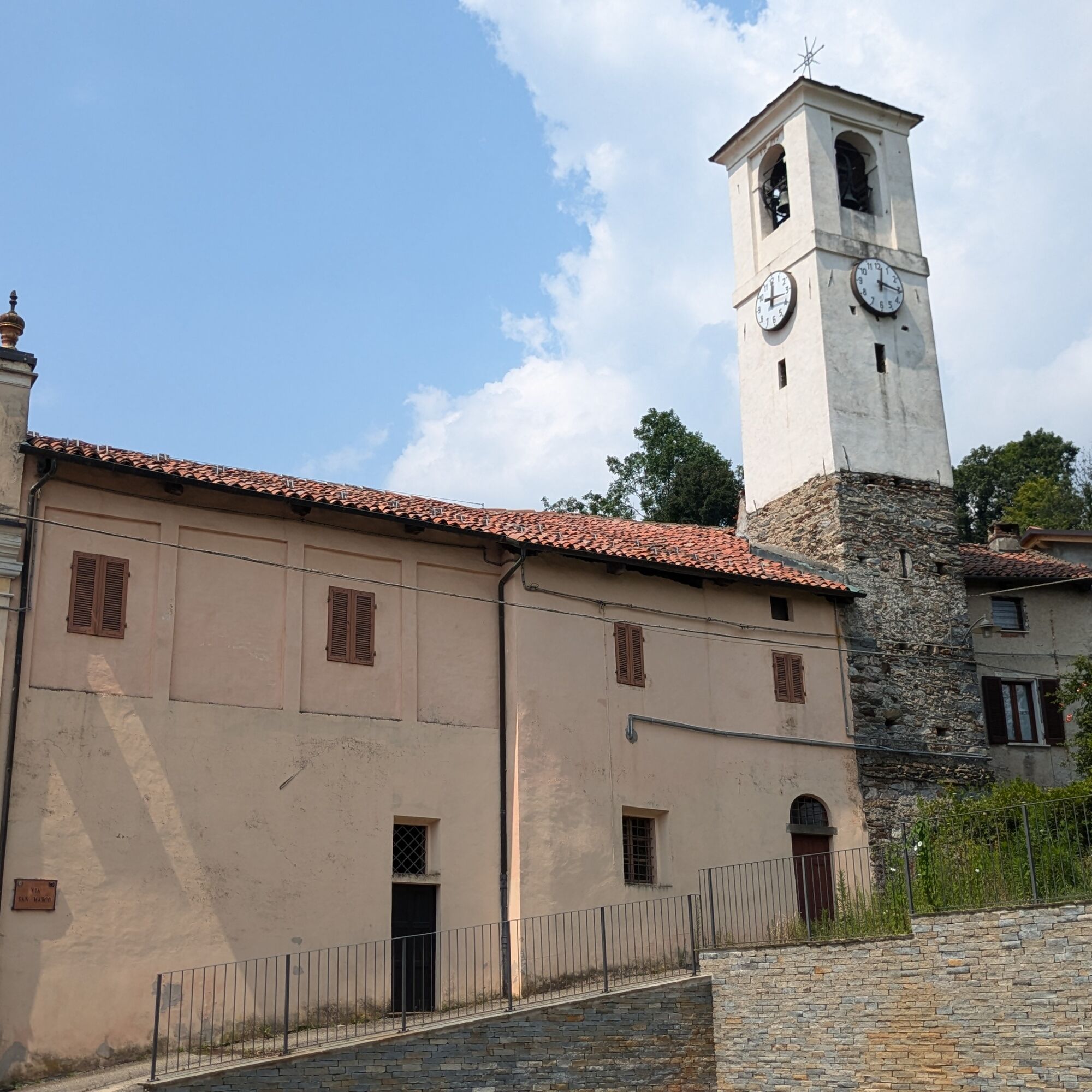
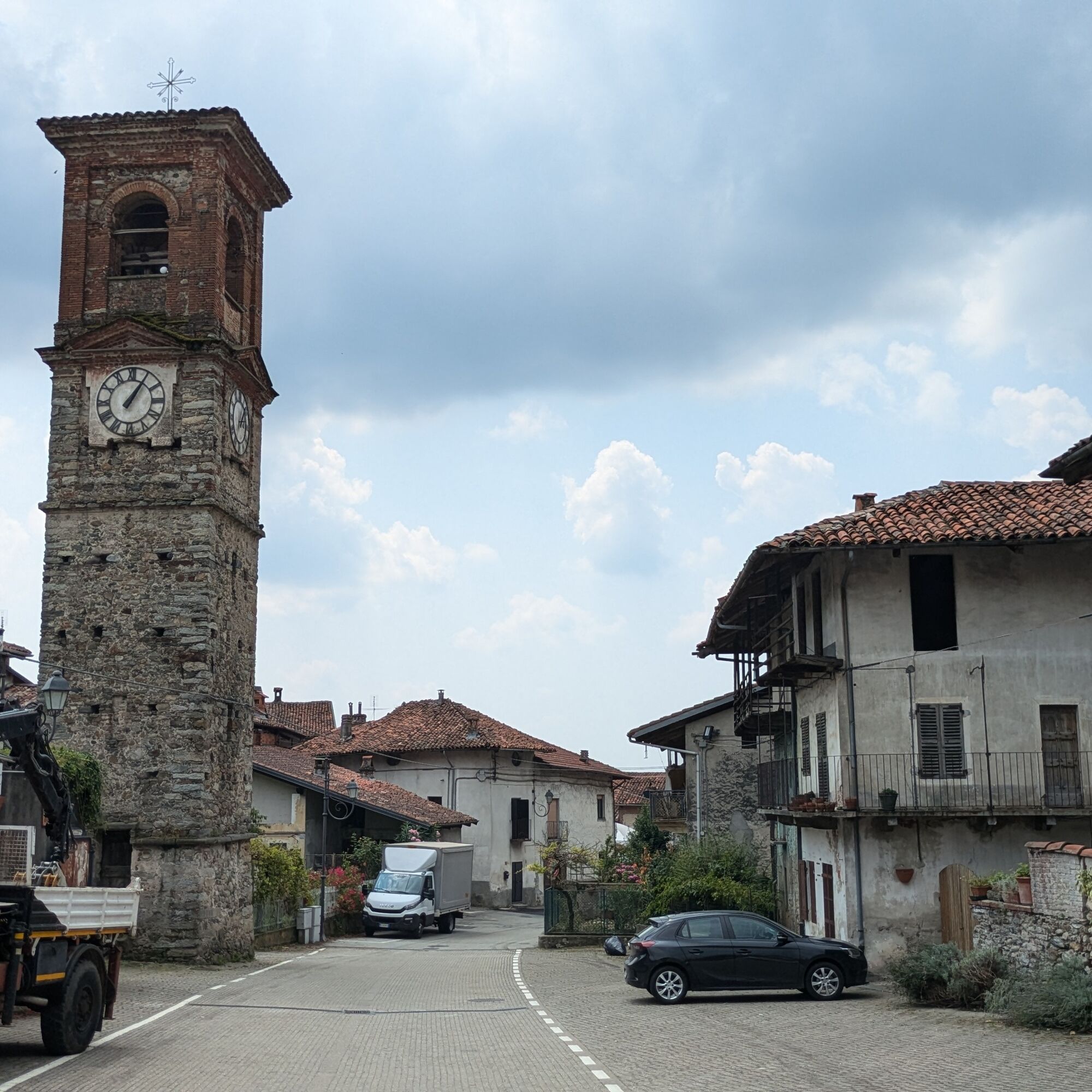
Stop to visit the small historic centers of the municipalities crossed and the larger one of Castellamonte.
Populära turer i närområdet
-
5,0
VALCHIUSELLA Loop Fondo - Tissone - Tallorno
MediumVandring 5,08 km -
ALPETTE Monte Soglio and cima Mares from Balmassa
MediumVandring 10,9 km -
Ring of the ancient Balteo Glacier
MediumLångväga cykelväg 195,4 km -
FONDO Alpe Balme Fondo and Tallorno
MediumMountainbike 13,1 km -
VIALFRÉ Morena West Loop
MediumMountainbike 22,2 km -
SPARONE The ancient mule track of Frachiamo and the Rocca di Sparone
MediumVandring 6,17 km -
PONT CANAVESE Val Soana
MediumLångväga cykelväg 28,2 km -
IVREA Anello Ivrea - Alice Superiore
MediumLångväga cykelväg 35,0 km -
Ring of the Ancient Balteo Glacier (stage 2)
MediumLångväga cykelväg 56,8 km -
CORIO Runde Oberes Canavese Westmoräne
MediumCykling 76,4 km

Vandring och spårning


Missa inte erbjudanden och inspiration inför nästa semester
Din e-postadress har lagts till på e-postlistan.