


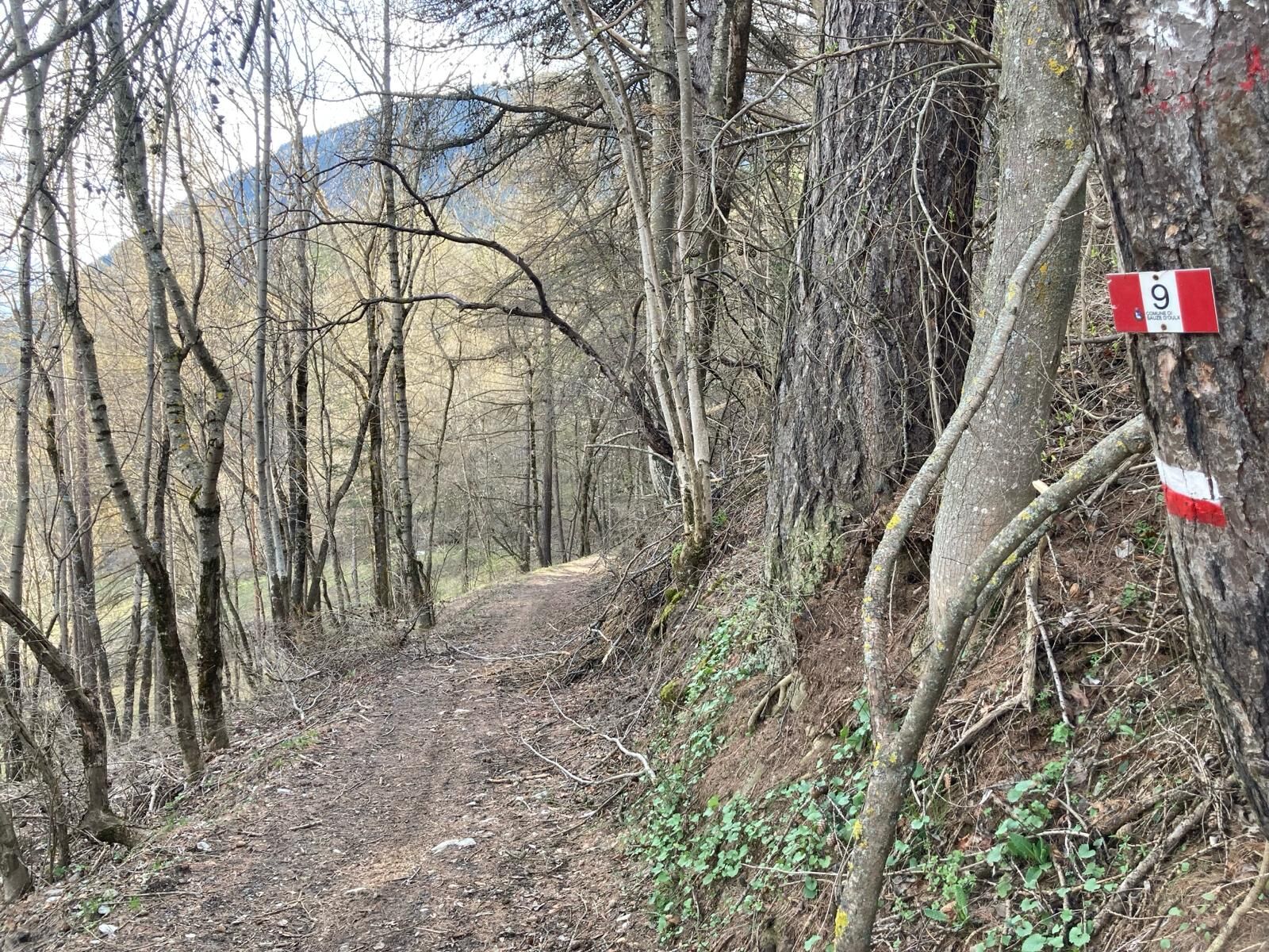
Jouvenceaux-Gad/Cotantin (n°9)


The path links the hamlet of Jouvenceaux di Sauze d'Oulx with the hamlet of Gad di Oulx, along a mainly downhill route, with a great variety of vegetation: shrubs of all kinds, from those that love the...
The path links the hamlet of Jouvenceaux di Sauze d'Oulx with the hamlet of Gad di Oulx, along a mainly downhill route, with a great variety of vegetation: shrubs of all kinds, from those that love the sun to those that prefer the shade; deciduous trees predominate in some areas, while conifers dominate in others; wide open spaces with views and gentle slopes, once intensively cultivated, interrupt the woods. Downstream, the Collet Cotantin path used to run along an old watering canal.
The path is maintained by the commune of Oulx.
Assistance and technical description by Barbara Demonte - environmental hiking guide.
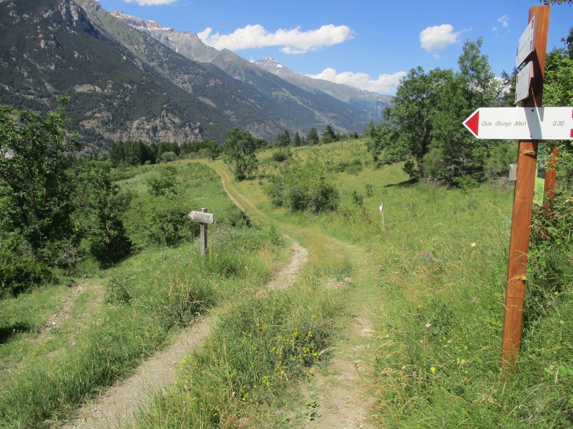
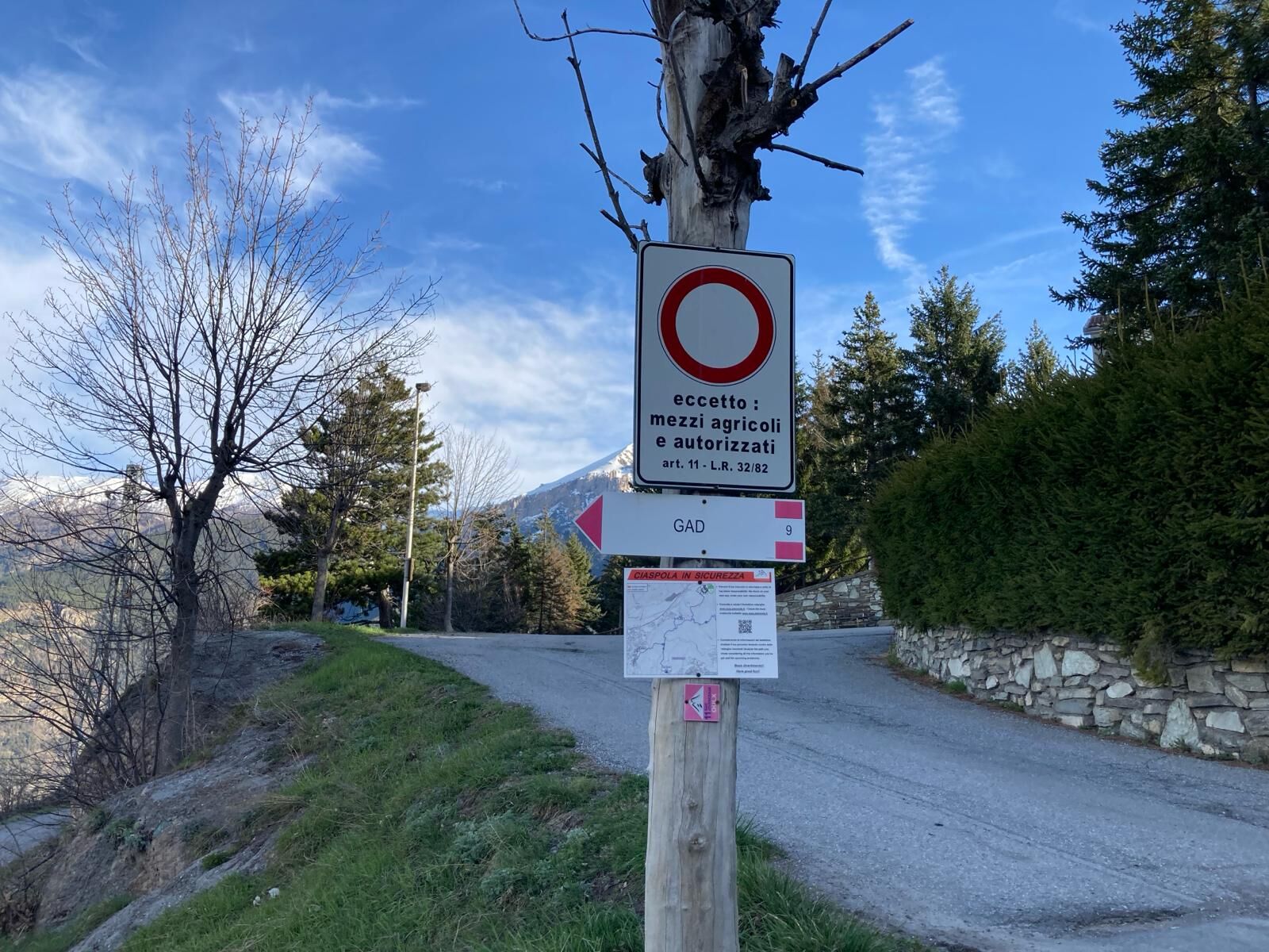
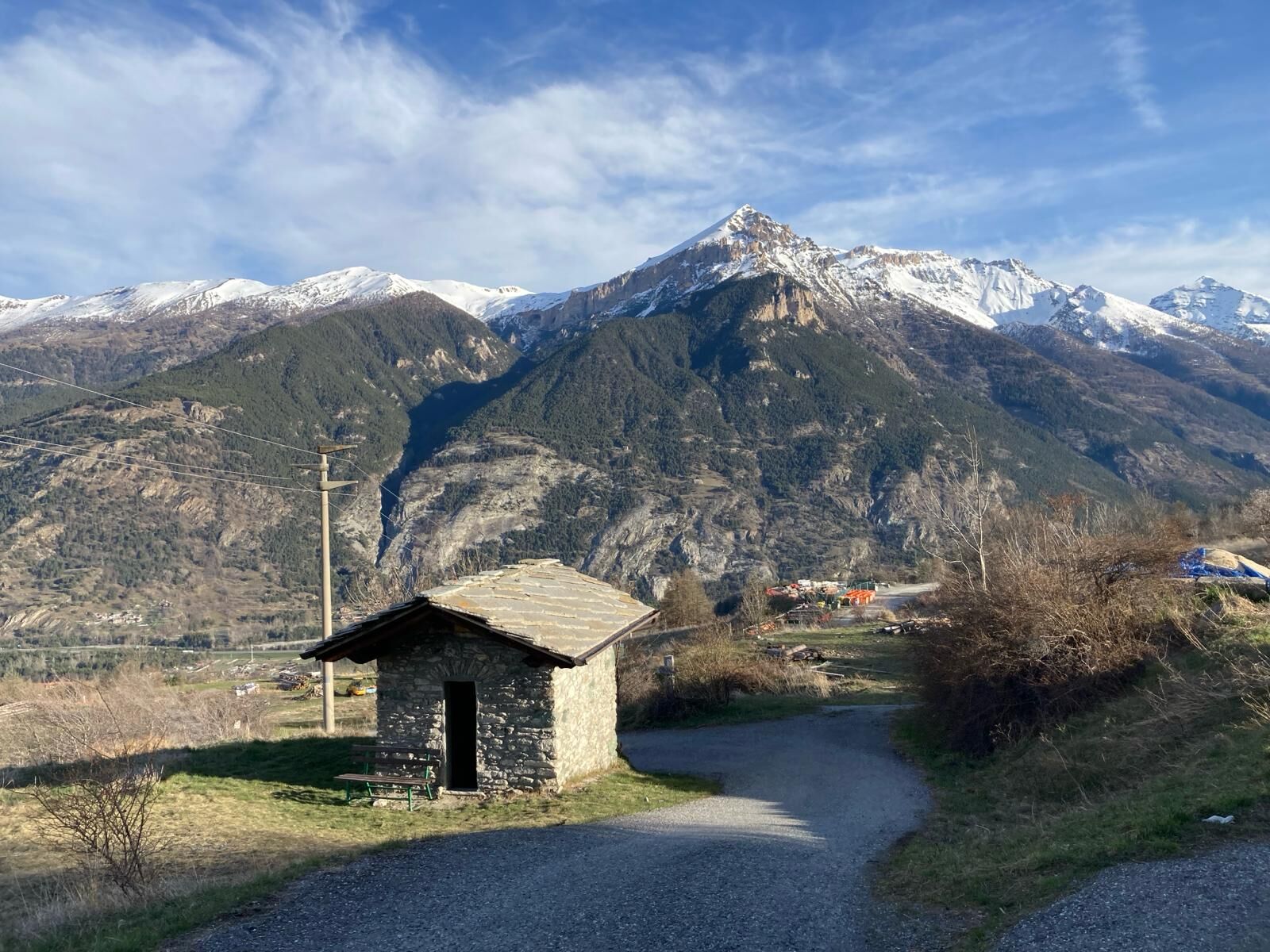
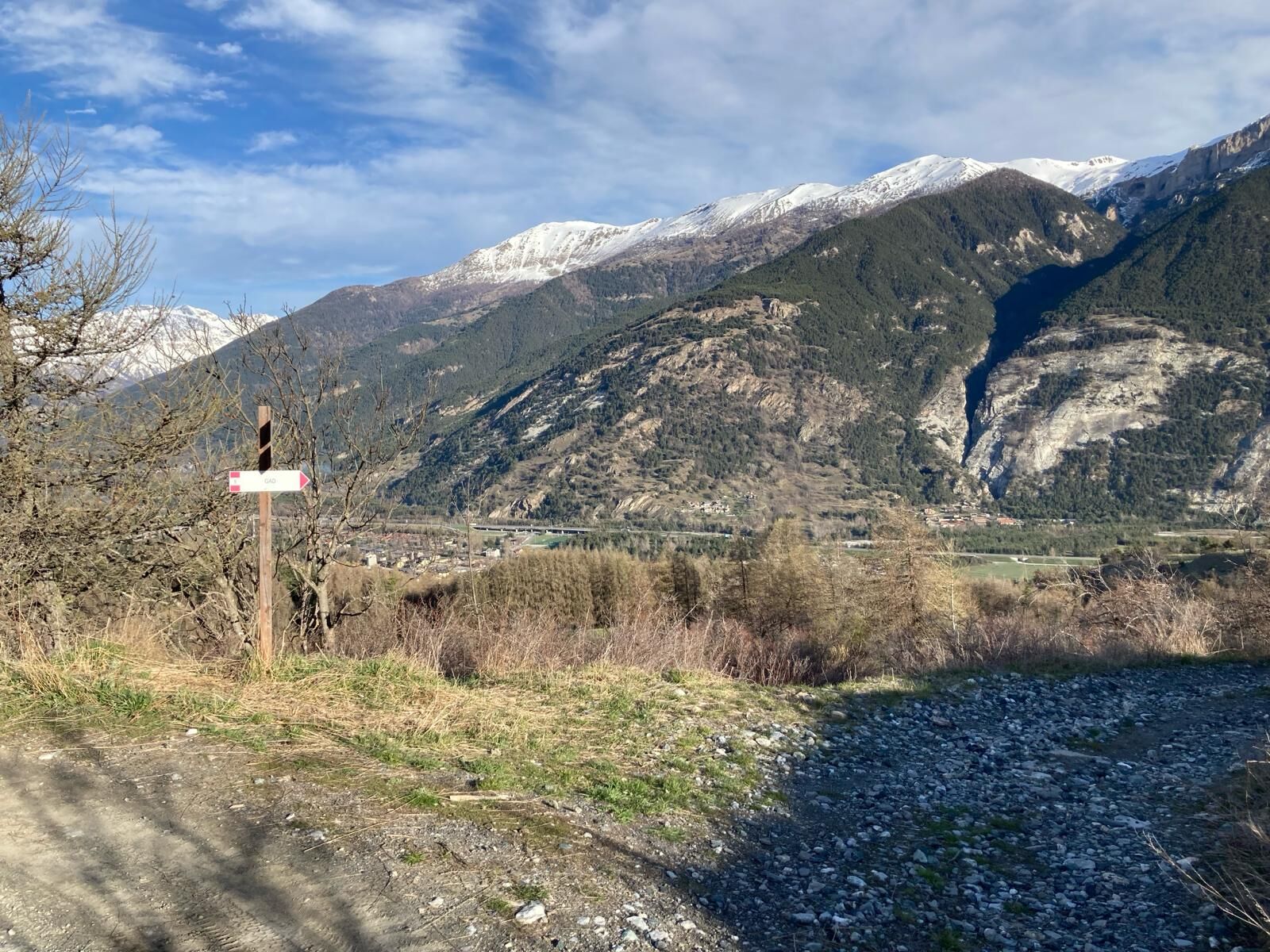
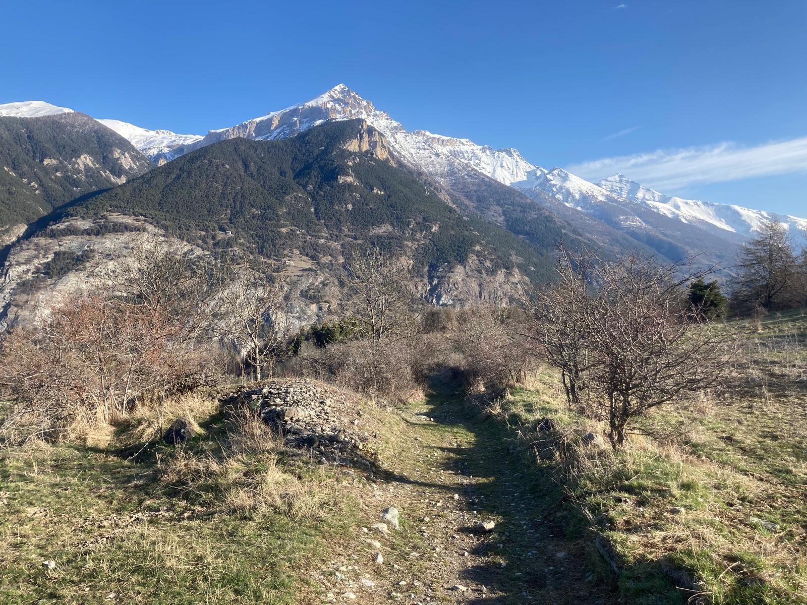
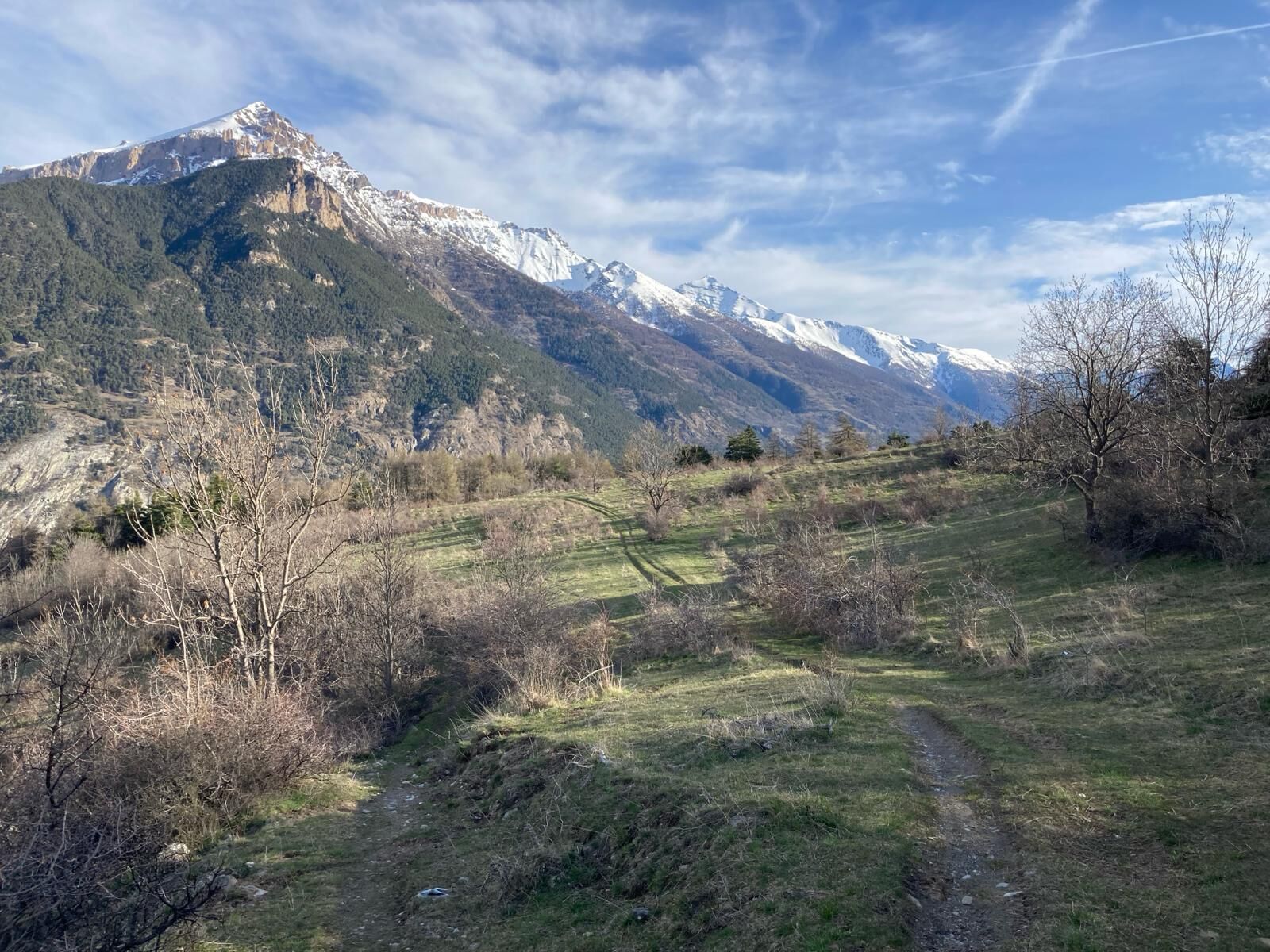
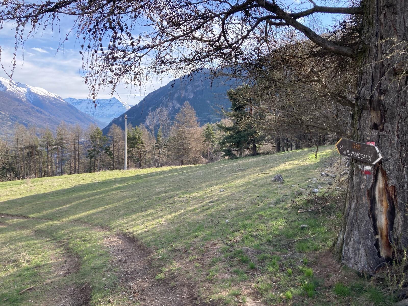
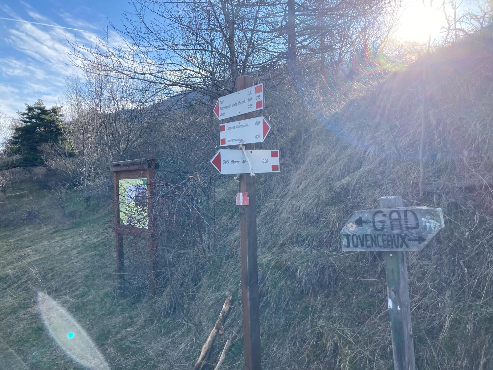
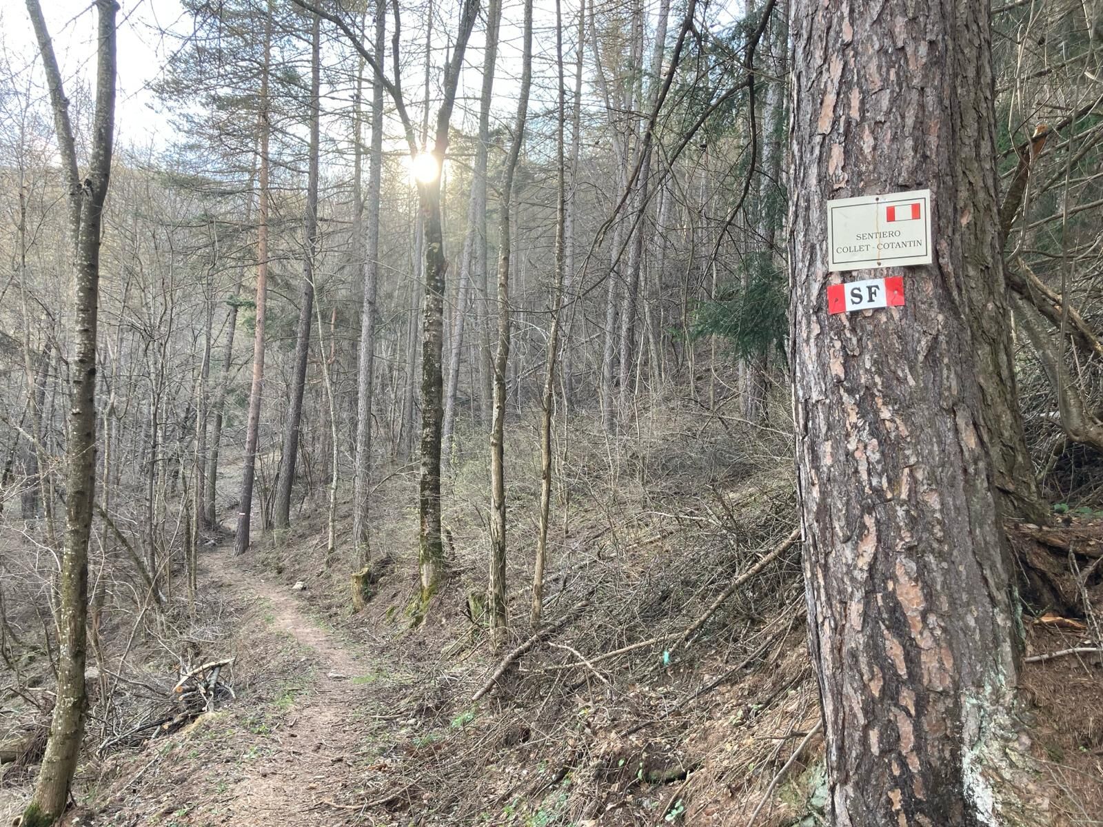
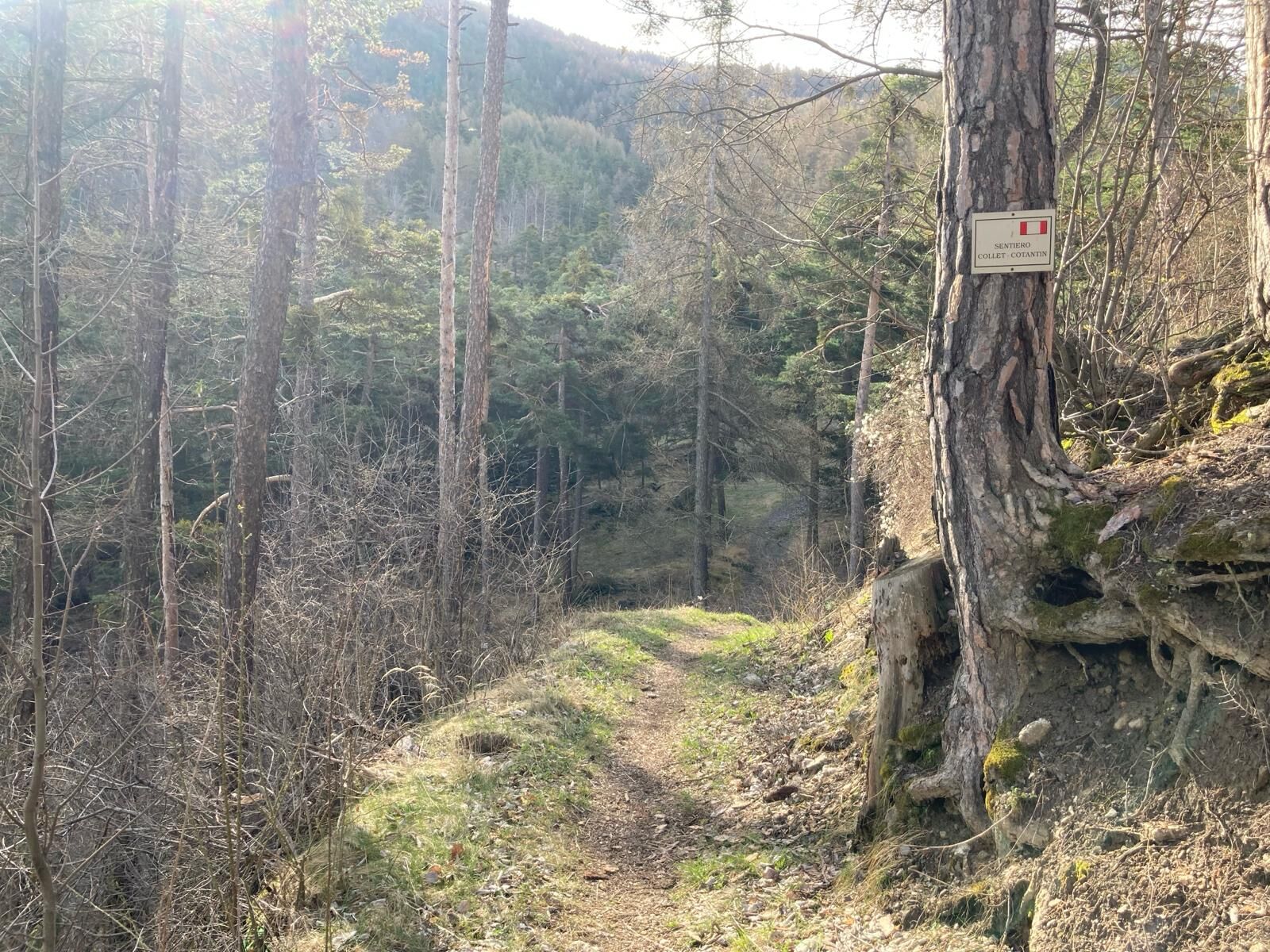
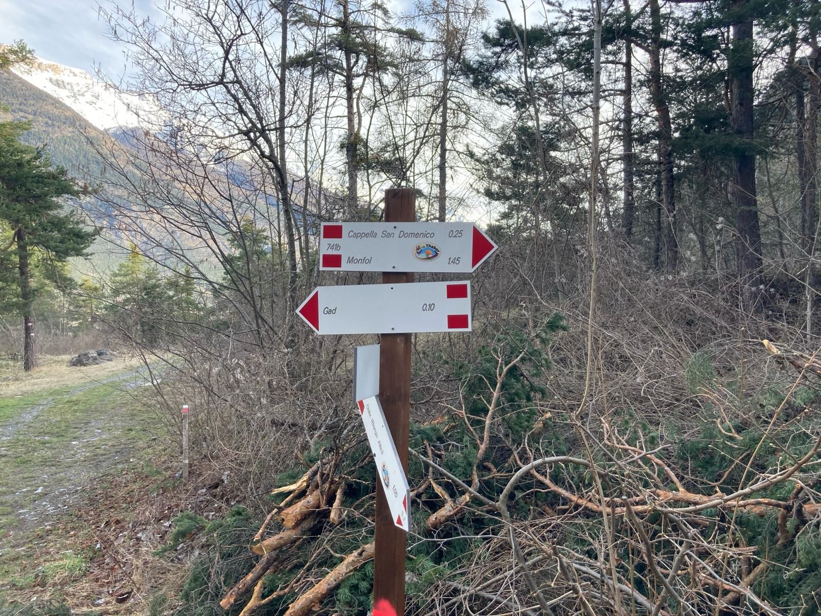
The route begins in the hamlet of Jouvenceaux, about 1.5 km below Sauze d'Oulx, at the municipal playground, located along the provincial road and at the foot of the 'La Chapelle' residential complex. It is possible to park at the side of the playground, but spaces are limited; alternatively: large car park above the Jouvenceaux ski lift, or use the local shuttle bus during the months of July and August. Path no. 9 starts at an altitude of 1,350 metres from the northern corner of the playground on a slightly downhill tarmac stretch that passes next to a fountain; here it ignores the road to the right that leads to the 2006 Olympic freestyle area, to descend to the left passing by the Champrey chapel; a couple of turns and the tarmac gives way to a dirt road. At an altitude of about 1,310 metres, ignore the path that descends to the Borgo Vecchio of Oulx and continue on the dirt road to the right in the direction of Gad, crossing an area of ancient cultivated land. After a very open and panoramic stretch, you return to the pine forest and ignore, at an altitude of about 1,250 m, the path to the left towards Oulx. After a downhill stretch, already almost at the bottom of the valley, immersed in a forest rich in broad-leaved trees, at a fork at an altitude of around 1,130 metres, we leave the path towards the hamlet of Gad and follow the Cotantin path to the right, which leads almost completely flat to a crossroads immersed in a pine forest, at an altitude of 1,130 metres, where path no. 9 ends. From here you can reach the hamlet of Gad, or Lake Orfù, or Monfol on path no. 3, following the signs.
Ja
Wear clothing and footwear suitable for the environment and the season.
The route is also suitable for mountain bikes, so pay attention.
By car from Turin: the exit from A32 Frejus- Turin motorway is at Oulx Circonvallazione. Follow the SP 214 and the signs to Sauze d’Oulx upon leaving the motorway.
By car from France: From the UK take the A 43 through the Frejus Tunnel (toll) then A32 motorway as far as Oulx.
By airplane: Turin airport is just over one hour away and is connected to Sauze d’Oulx and Oulx by private transfer or by public transport - bus to the main railway station in Turin, Porta Nuova; train to Oulx (railway line Torino/Bardonecchia); bus to Sauze d’Oulx; stop at Jouvenceaux. Train times and fares can be viewed and booked at trenitalia.com. The bus company web site is www.torino.arriva.it
By train: the mainline railway which connects Paris to Milan by TGV has a station in Oulx. Public transport and taxis services operate from Oulx station to Sauze d’Oulx. See also: www.snowcarbon.co.uk.
At the municipal playground in Jouvenceaux, located along the provincial road and near the "La Chapelle" residential complex, but places are limited; alternatively: large parking area along the provincial road near the Jouvenceaux ski lift; or in Sauze d'Oulx in piazzale Genevris or piazzale Gran Comba using the local shuttle bus to Jouvenceaux during July and August.
Before starting out on any excursion, it is advisable to consult weather bulletins or ask the local tourist offices for information. It is good practice not to undertake a hike alone, always inform yourself of your destination.
Do not throw rubbish into the environment, but take it down to the valley, collecting any rubbish left by others.
The hiking times given are approximate and may vary depending on weather conditions and your own abilities.
Fountain at the Champrey chapel in the hamlet of Jouvenceaux, fountains in the hamlet of Gad.
Webbkameror för rundturen
Populära turer i närområdet
-
5,0
BARDONECCHIA Decauville
ljusVandring 7,29 km -
BARDONECCHIA Colle Sommeiller
MediumMountainbike 25,4 km -
4,5
BARDONECCHIA Sentiero Walter Bonatti - Grange della Rho
MediumVandring 6,12 km -
5,0
CESANA T.SE To Fenils (No. 48)
ljusVandring 4,29 km -
BARDONECCHIA Punta Quattro Sorelle
tungVandring 8,69 km -
5,0
BARDONECCHIA Col des Acles - Passo della Mulattiera
tungVandring 6,57 km -
SESTRIERE Assietta Road
MediumMountainbike 43,3 km -
BARDONECCHIA Punta Colomion - Passo della Mulattiera - Pian del Colle Ring
tungMountainbike 25,1 km -
BARDONECCHIA Rocce della Sueur - Tour jaune de Barabbas
MediumVandring 4,12 km -
La Via dei Saraceni (Sauze d'Oulx)
MediumMountainbike 33,6 km
Vandring och spårning


Missa inte erbjudanden och inspiration inför nästa semester
Din e-postadress har lagts till på e-postlistan.