


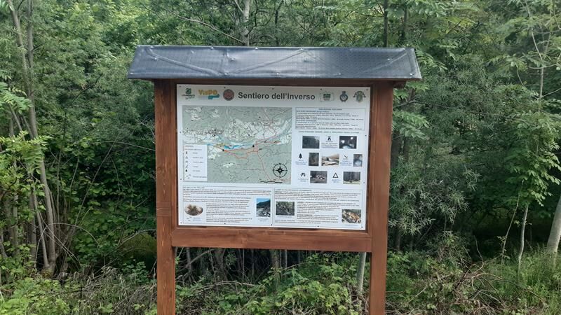
Inverso Path


The path was restored in the years 2020-2021 by volunteers of the Legambiente Val Pellice (Italian environmentalist association) in the years 2020-2021. It is divided into two sections: the lower section...
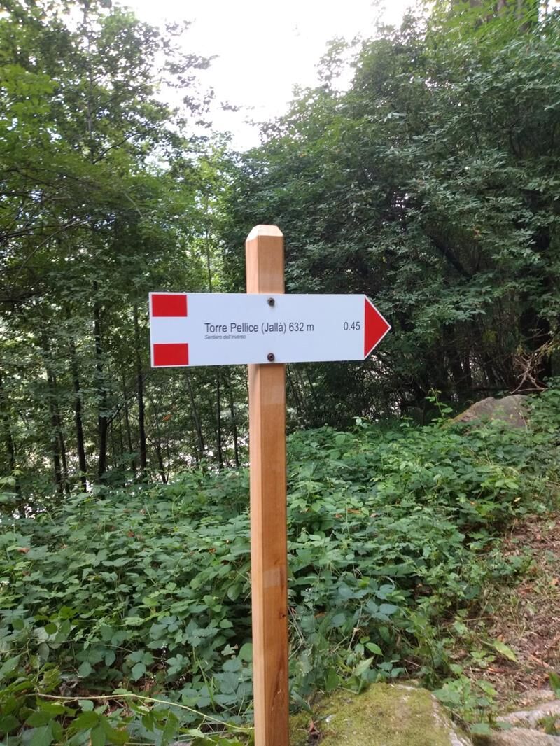
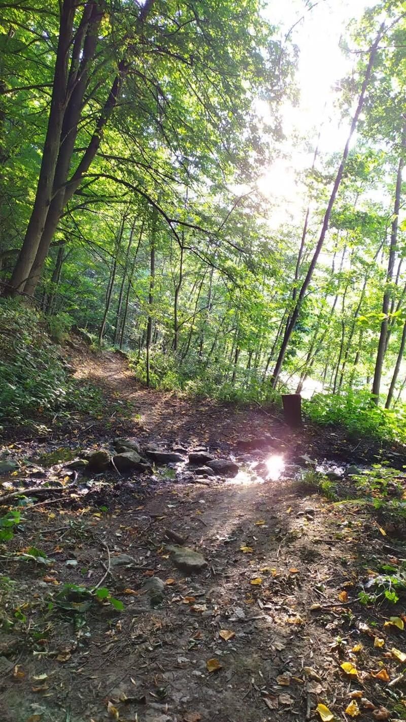
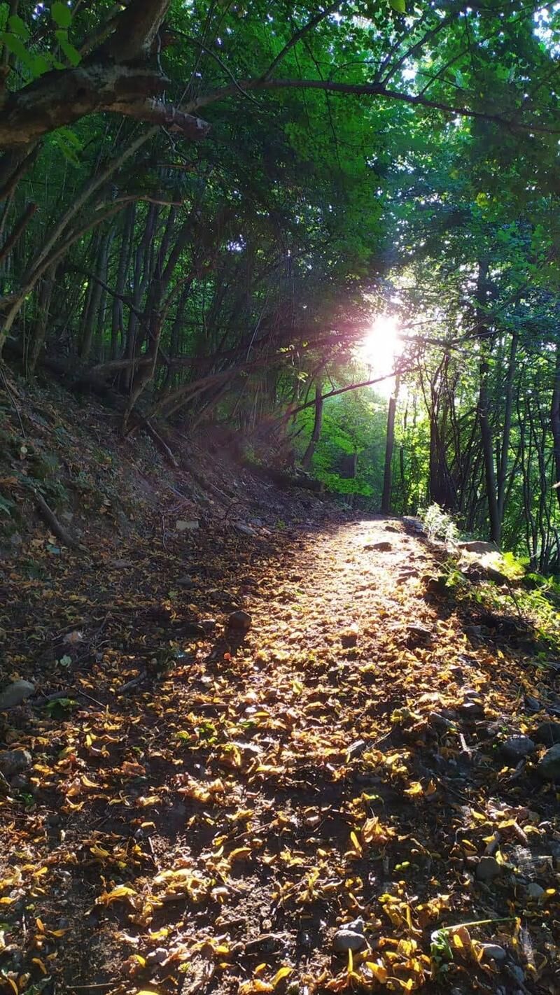
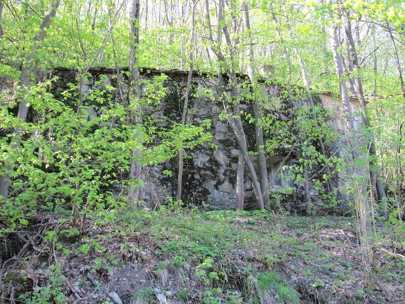
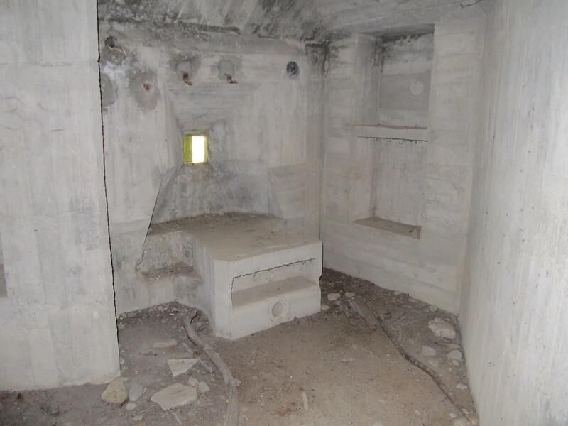
The path was restored in the years 2020-2021 by volunteers of the Legambiente Val Pellice (Italian environmentalist association) in the years 2020-2021. It is divided into two sections: the lower section (along the Pellice) is characterised by a path with little variation in height, rich in wetlands; and the upper section is a typical mid-valley path with tall trees. After leaving the Cros lake in Villar Pellice, follow the "Fusinassa" forest road. When you come to a World War II bunker (Work 204 – Villar Pellice barrage), keep to the right until you reach a crossroads (200 m further on), which becomes an actual path. After crossing a stream, go down the forest track that leads to Inverso Rolandi in Torre Pellice, at the height of the "Tavolo di Pietra" (stone table). Shortly before, there is a crossroads that goes down to the "sentiero basso" ("low path"), where there is an abandoned wood of strobe pines. Continue along the Pellice river to the old mill and the "tumpi" (natural lak...
Appropriate clothing and equipment recommended.
Direction of travel: Counterclockwise - Cyclability:
Populära turer i närområdet
-
5,0
BOBBIO PELLICE Upslowtour - Loop 2 of the refuges
tungCykling 37,6 km -
PERRERO The lakes of Conca Cialancia
tungMountainbike 21,6 km -
PRALI Ring of Rocca Bianca
tungMountainbike 17,9 km -
The Roads of the Forts
tungPilgrimsled 226,8 km -
LUSERNA S. G. Upslowtour - Luserna Stone Loop 9
MediumCykling 38,1 km -
BRICHERASIO Upslowtour - Loop 13 of the Ridges
MediumCykling 38,2 km -
Praly4All Trail
ljusVandring 2,30 km -
SAN GERMANO CHISONE Lazzarà Hill Ring
tungMountainbike 29,6 km -
PRALI Thirteen Lakes - Giulian Hill - Villanova
MediumMountainbike 19,0 km -
VILLAR PELLICE Upslowtour - Comba dei Carbonieri Loop 4
MediumCykling 21,3 km

Vandring och spårning


Missa inte erbjudanden och inspiration inför nästa semester
Din e-postadress har lagts till på e-postlistan.