


Pyylin path


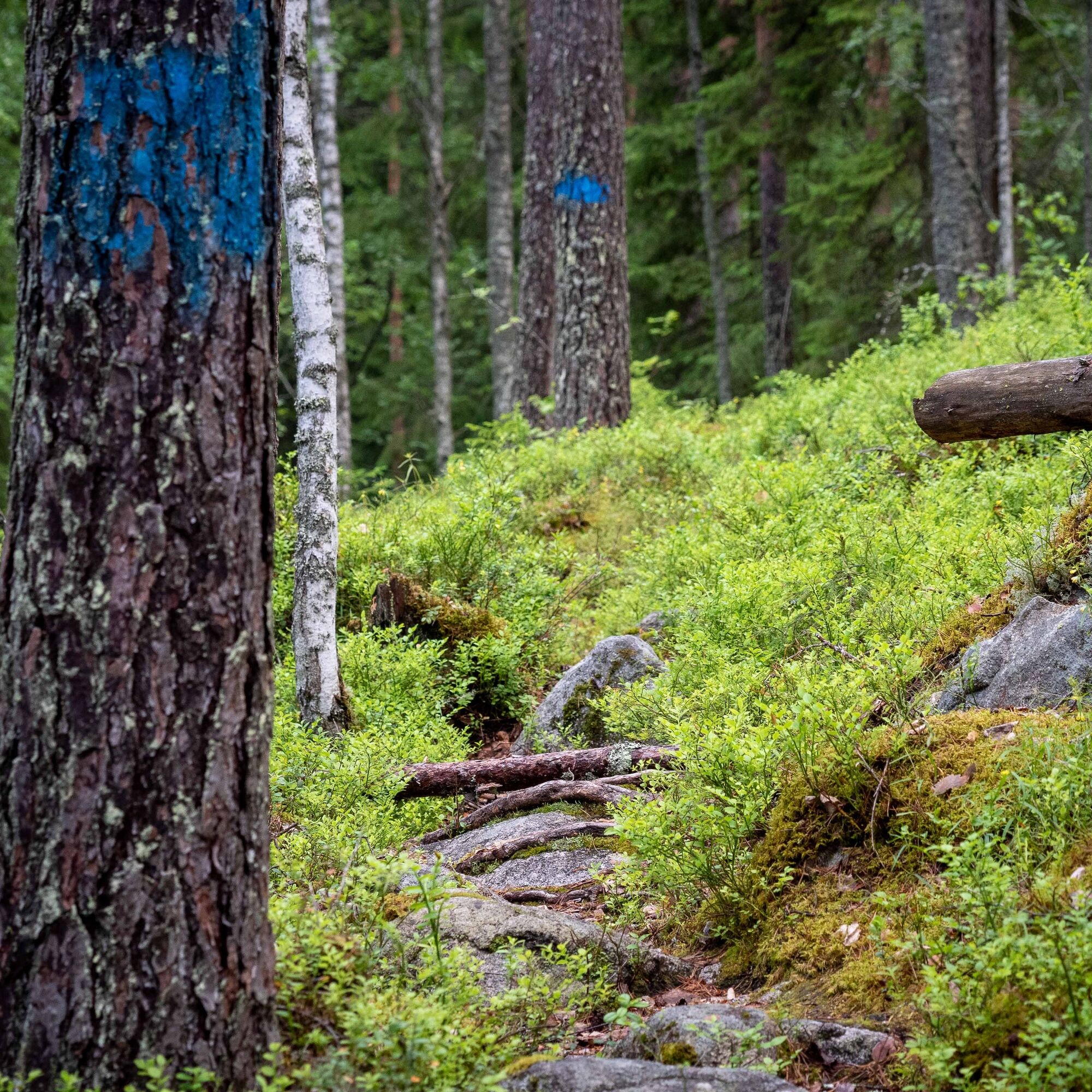
About 4 km long path starts from the parking area on Huutoniementie and proceeds the first few hundred meters along a gravel road. Moving clockwise, the signposts soon turn left onto a spruce forest path.
...About 4 km long path starts from the parking area on Huutoniementie and proceeds the first few hundred meters along a gravel road. Moving clockwise, the signposts soon turn left onto a spruce forest path.
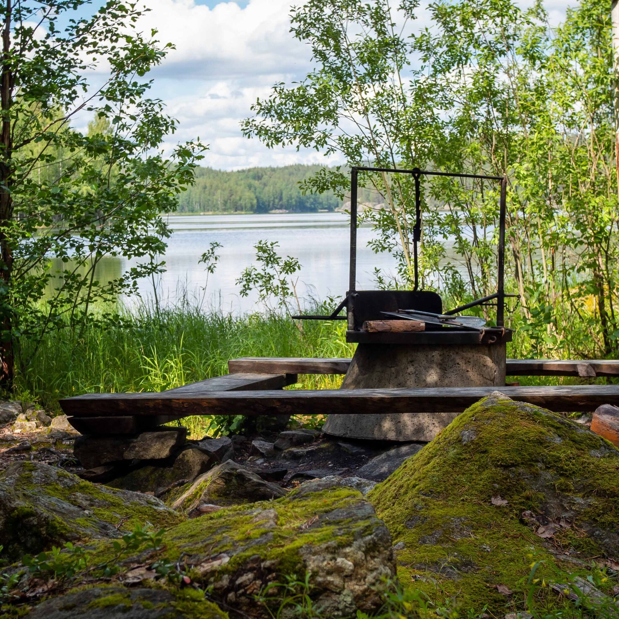
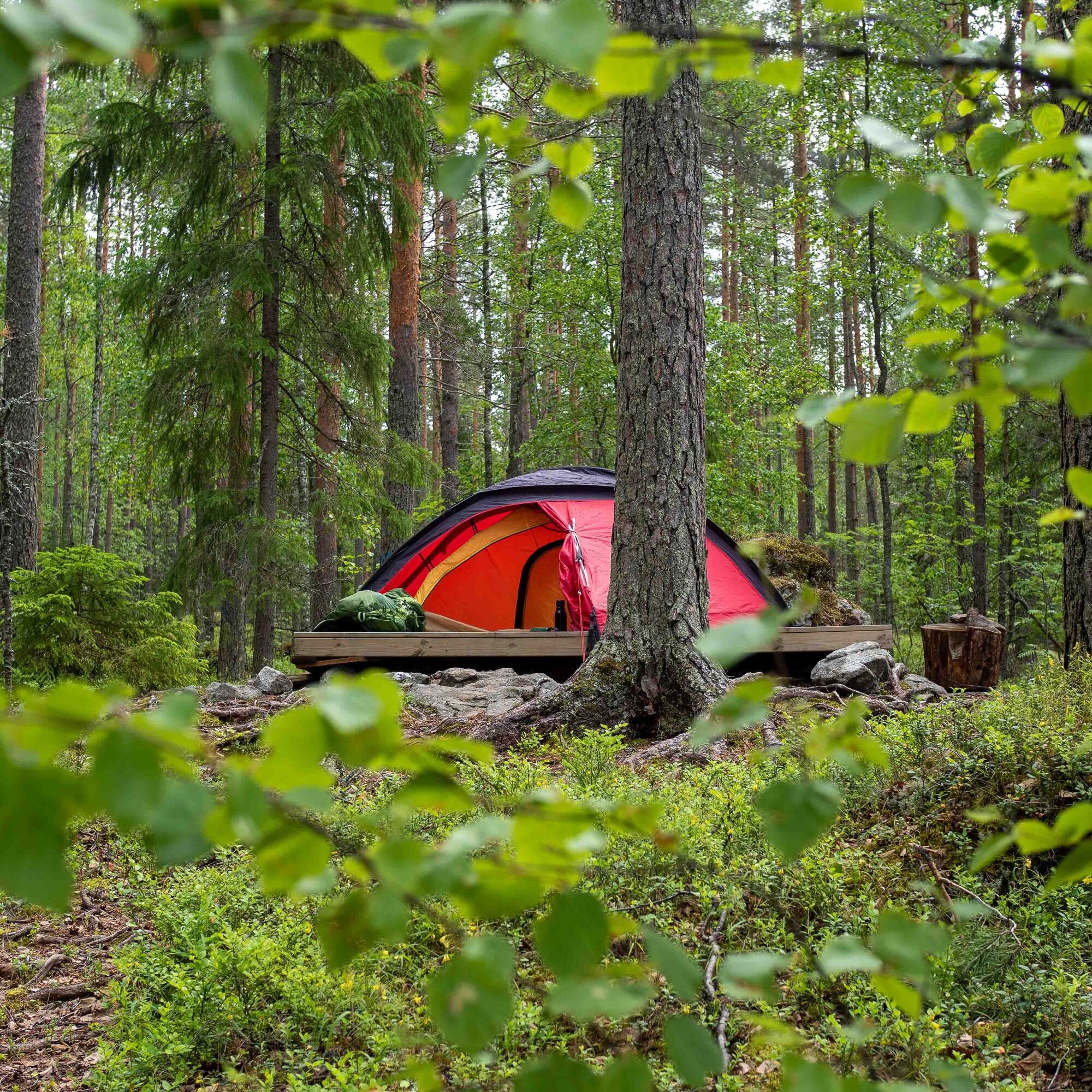
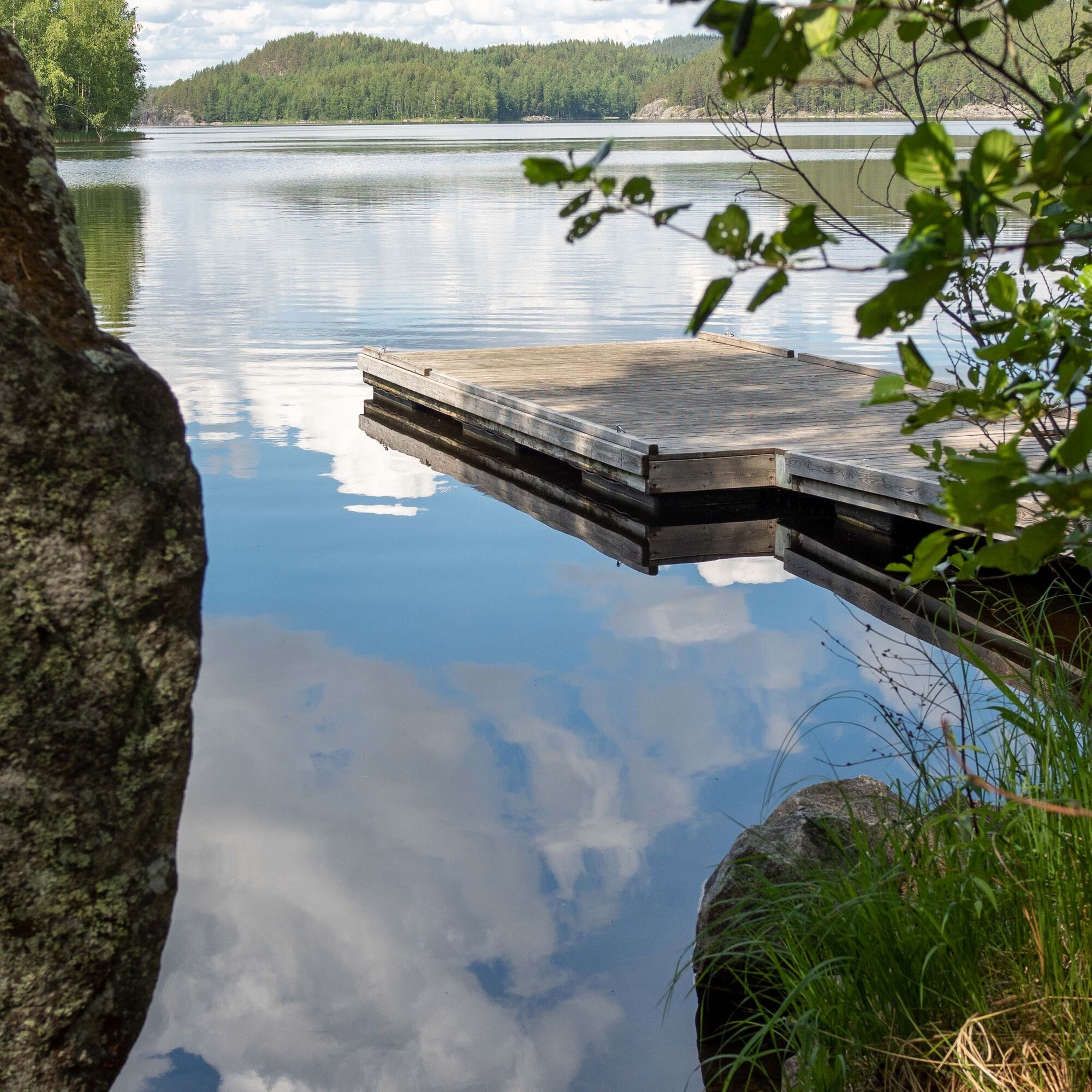
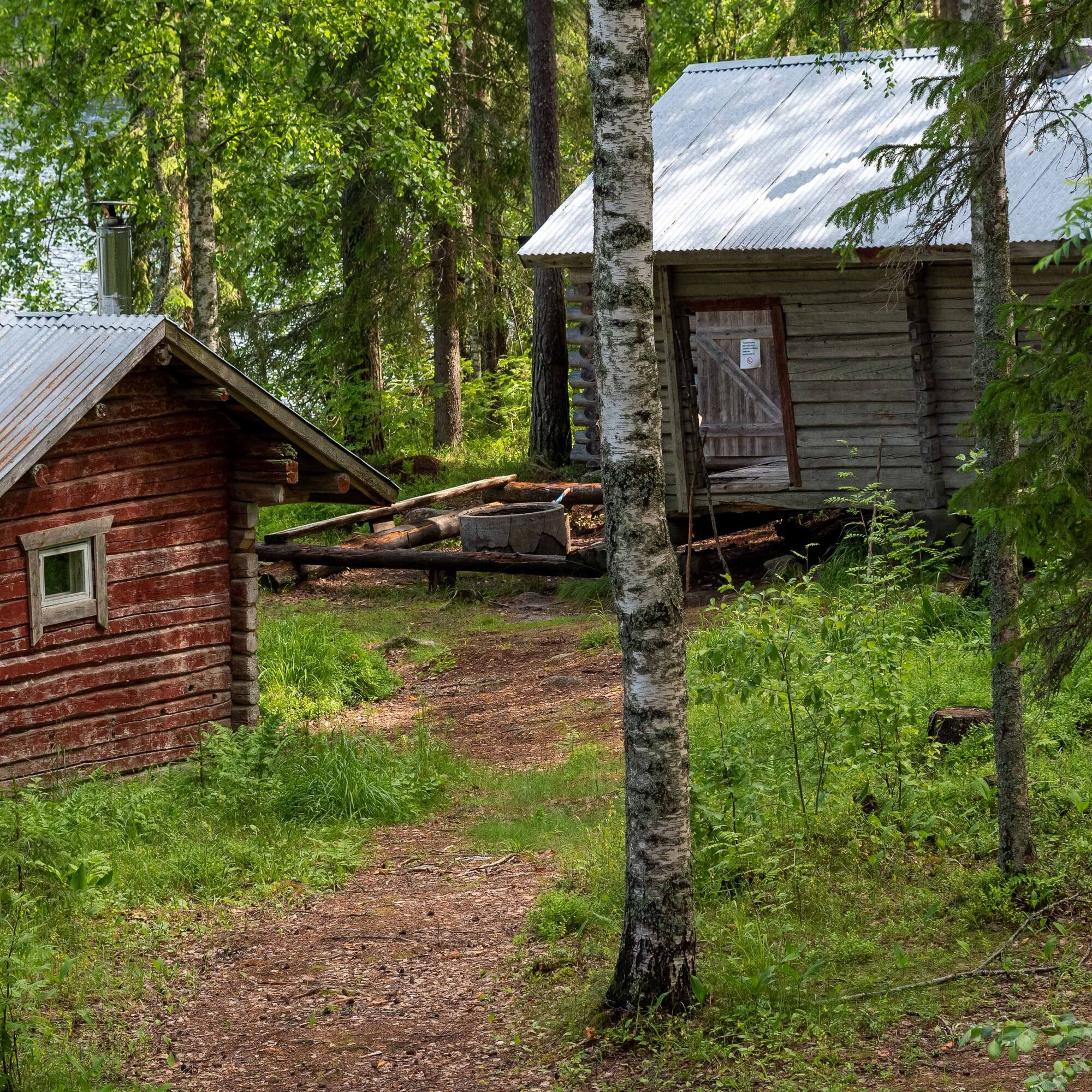
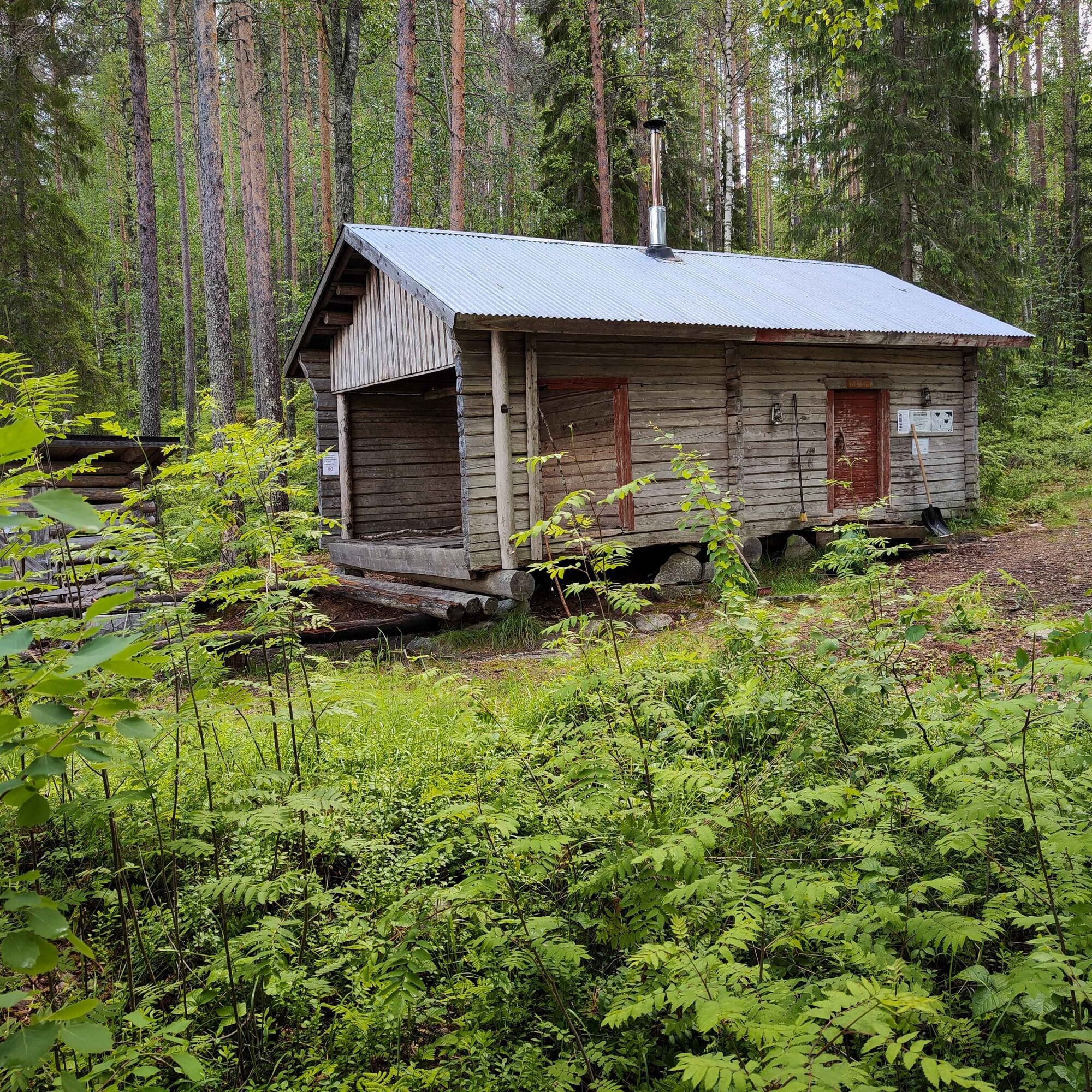
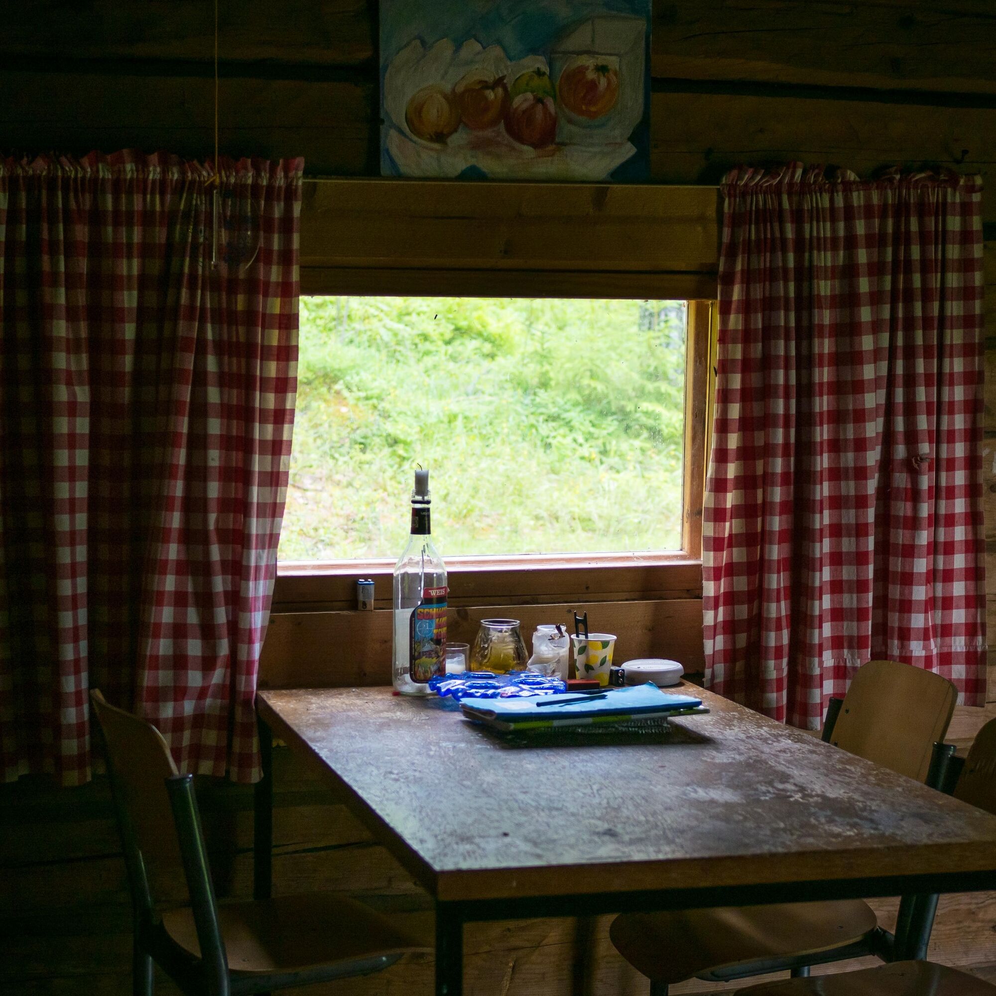
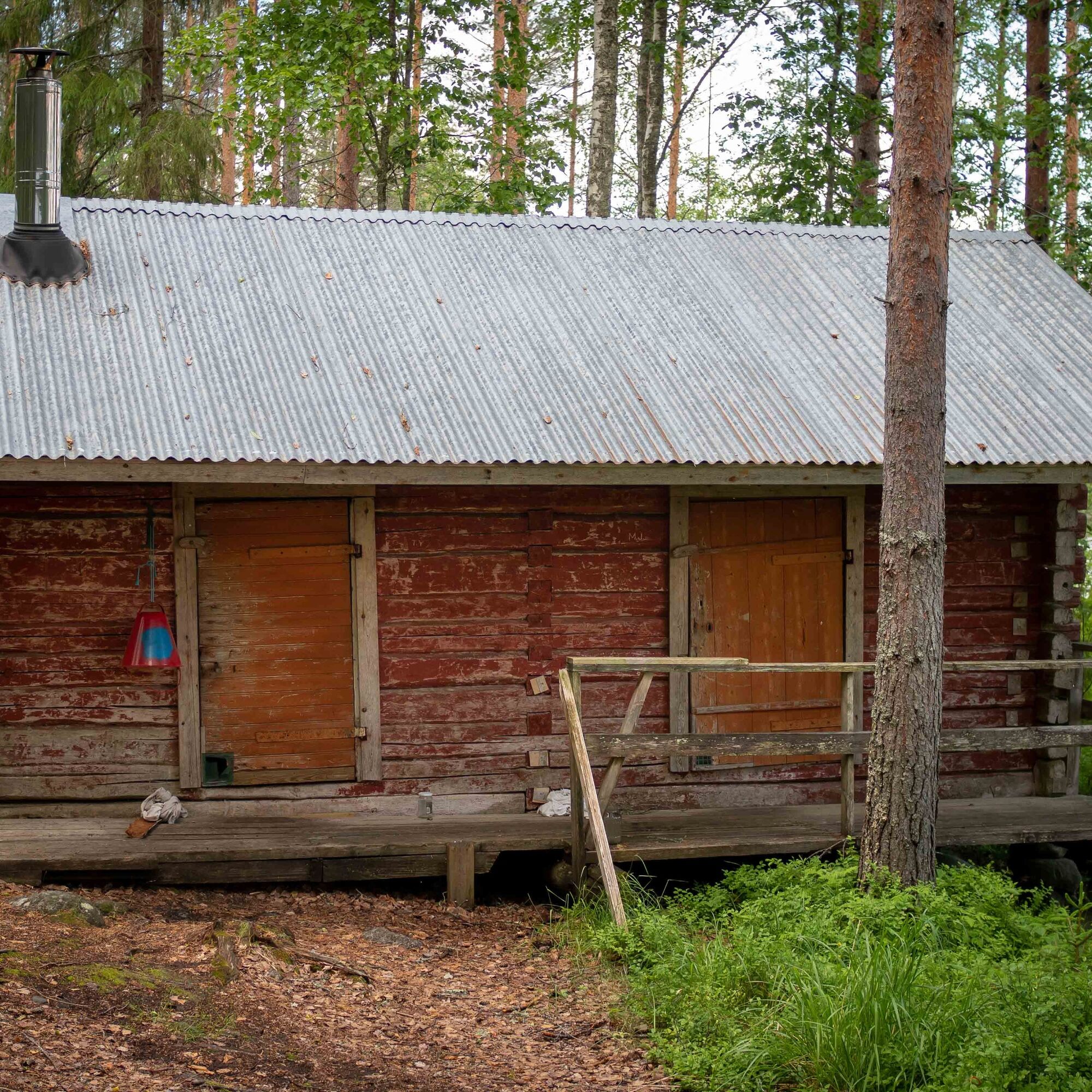
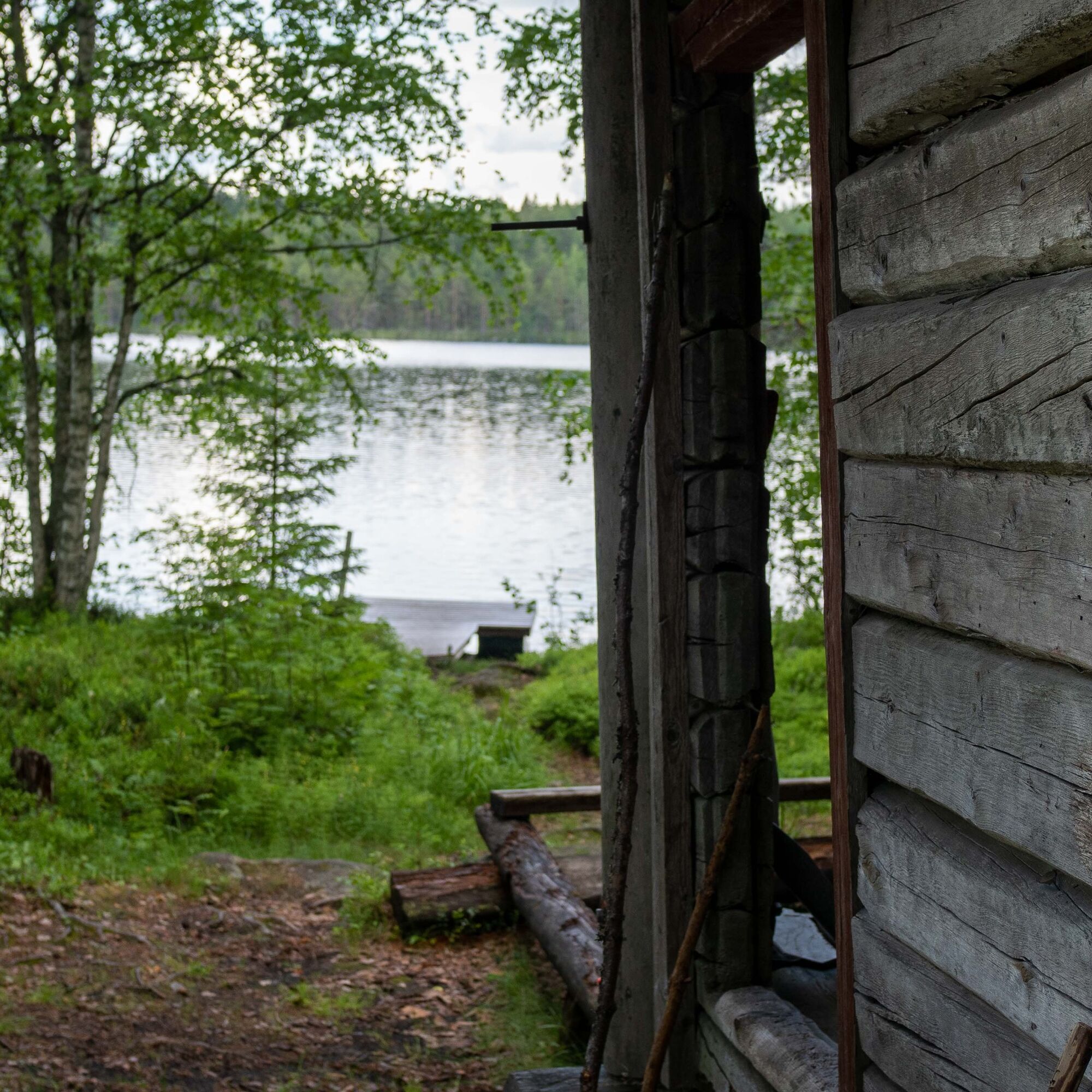
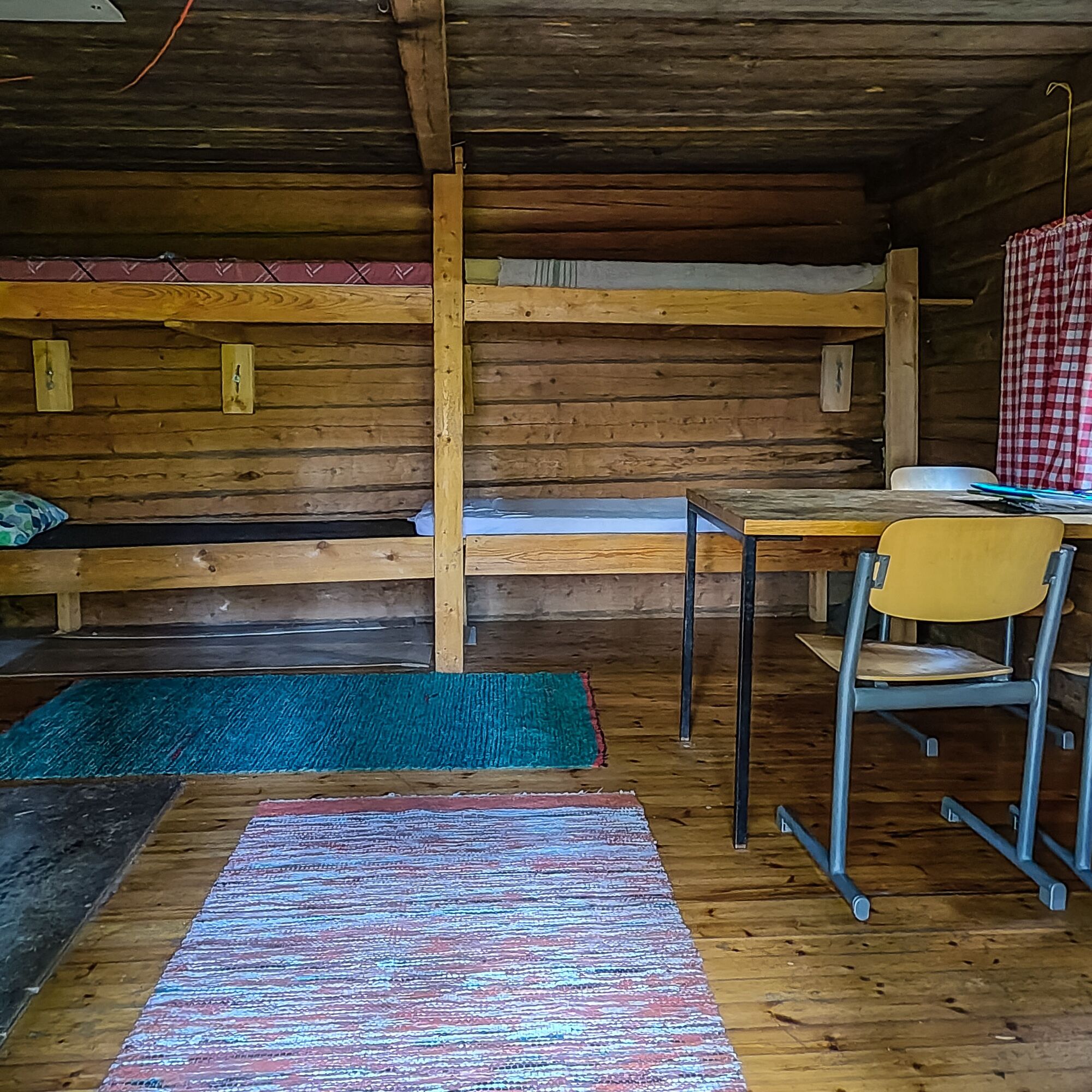
On the shore of Iso-Pyylin there is a hiker’s oasis: a wilderness hut, wood shed, campfire site, outhouse, sauna, and pier. While sitting at the campfire site, you can admire the rocky slope of Karkumäki rising on the opposite side of the water.
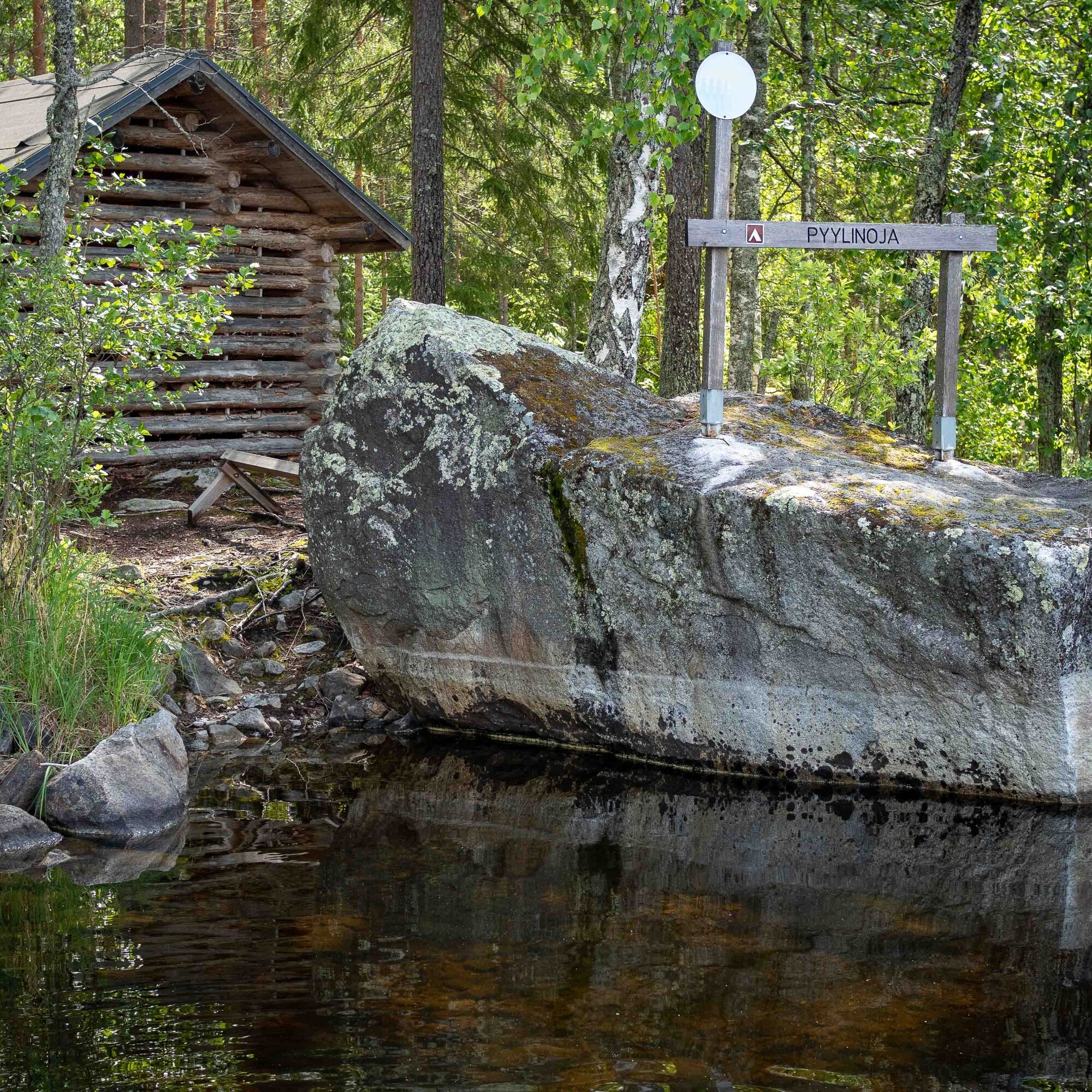
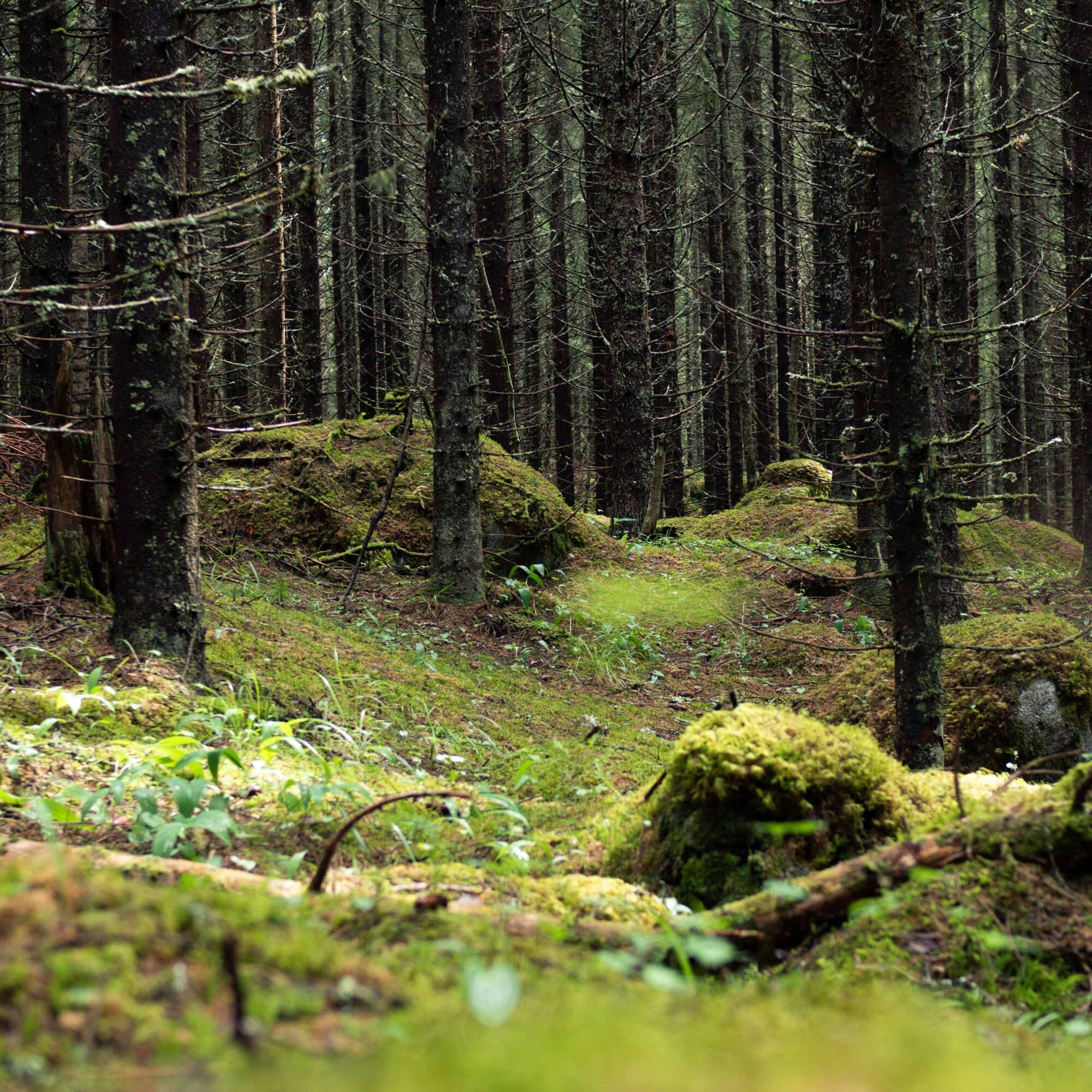
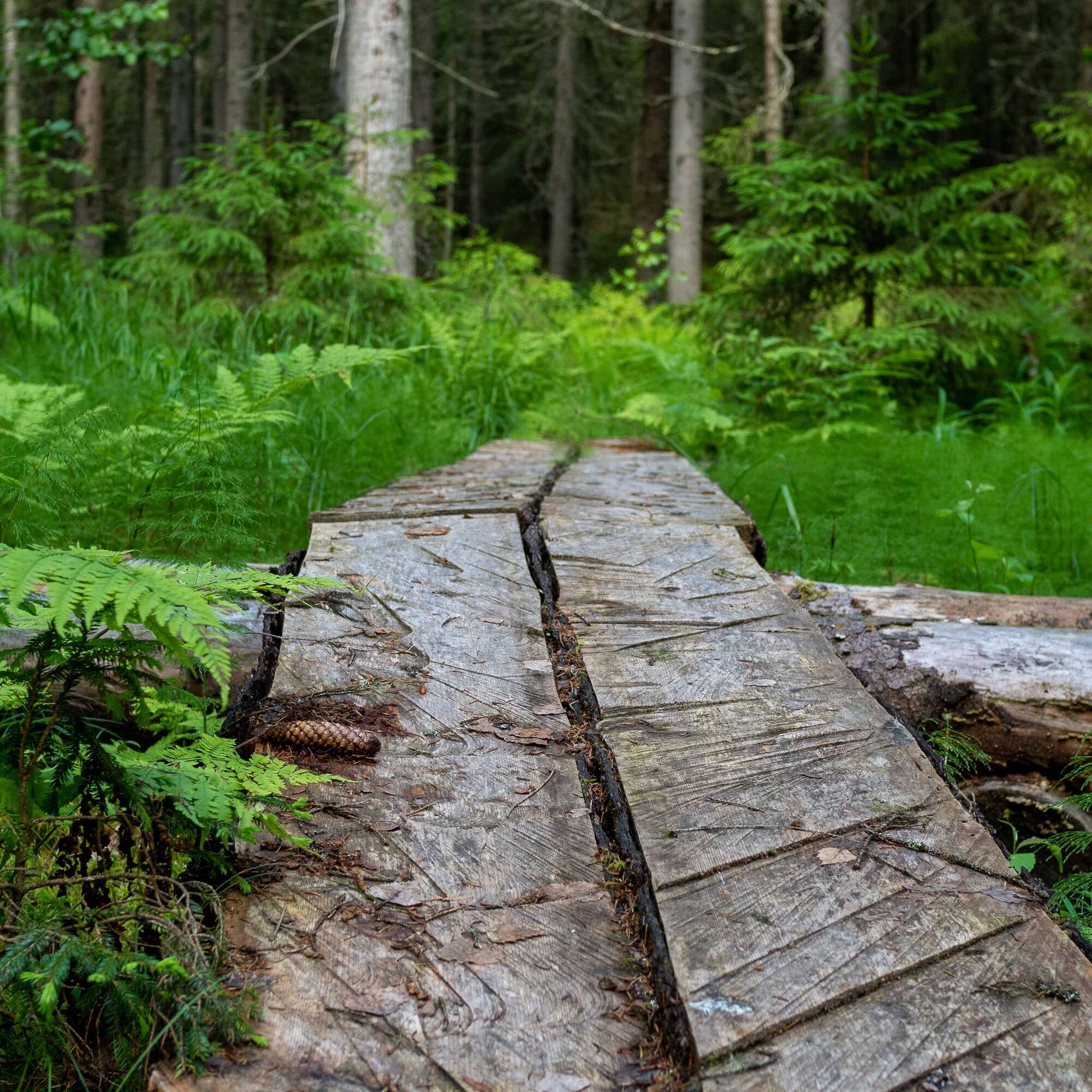
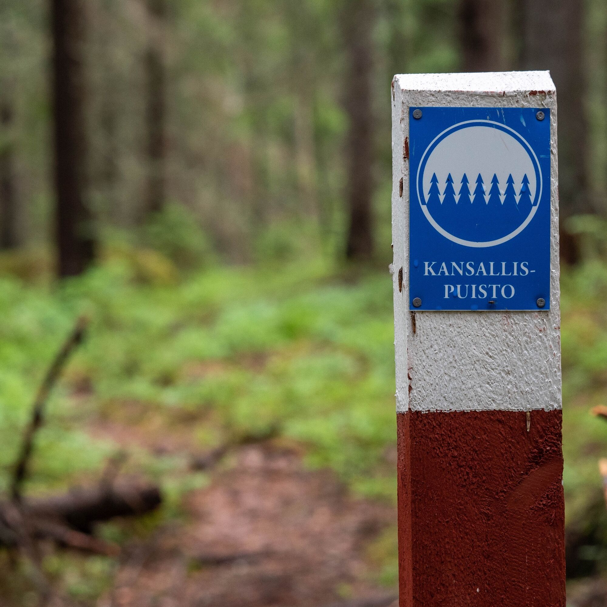
The rockiest sections of the route begin immediately after the wilderness hut. While the surface of Iso-Pyylin still glistens on the hiker’s left, the steep Pyylivuori rises on the right. Half a kilometre from the wilderness hut, you reach the border of Kolovesi National Park. The varied, rocky troll forest continues also within the national park. The route descends to the shore of Pieni Kolovesi, where the Pyylinoja camping area with campfire sites is located.
Hikers are further pampered by a beautiful wetland spot and a dim spruce forest before leaving the national park. After a short brushy section, you arrive at the shore of Ruokovirta.
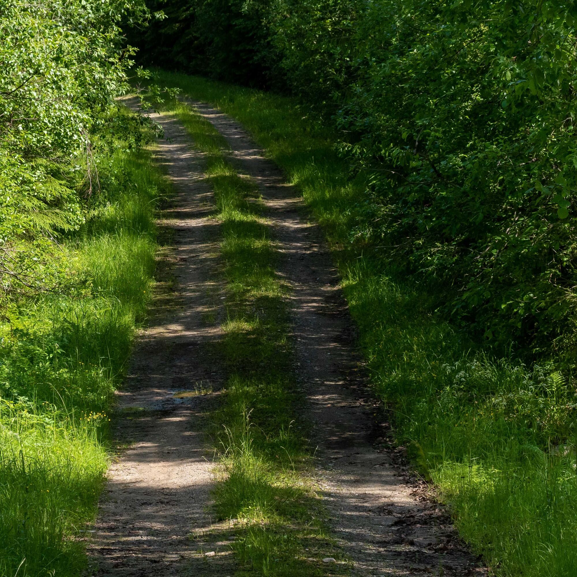
The last kilometre is a relaxed walk along a quiet gravel road back to the starting point.
The route can also be accessed by water, in which case the most natural starting point is Pyylinoja located on the Kolovesi National Park side.


Recommended clockwise direction. From the parking lot at Huutoniementie 22, take the forest road to the left. It is recommended to download the GPX file of the route line or take a screenshot of the route in case any of the signposts are missed.
Ja
Sturdy and moisture-resistant shoes (there are wet and rocky sections along the route)
It is recommended to download the 112 app
The route is rocky and slippery when wet
A small first aid kit is recommended
About 20 km south from Heinävesi depending on the route choice. From Pyylintie 83 east to Huutoniementie, along which is about a 2 km distance to the starting point of the Pyylin path.
The location is not accessible by public transport.
There is a parking area at the starting point of the Pyylin path on Huutoniementie.
There are two campfire sites on the route, which are good places to eat a proper meal
Pyylin wilderness hut
Pyylinoja camping area
Populära turer i närområdet
-
Heinäveden soratiekierros
tungLångväga cykelväg 221,4 km -
Savonlinna
MediumTema spår 3,53 km -
Enonkoski
MediumKajak / Kanu 33,3 km -
Savonlinna - Thai PopUp Makasiini - Oravi
MediumKajak / Kanu 129,9 km -
Heinävesi
MediumVandring 3,76 km -
Heinävesi
ljusKajak / Kanu 66,1 km -
Ravintola Ruukinranta
Kajak / Kanu 92,6 km -
Rinkilä - Heinävesi - Enonkoski
MediumCykling 282,7 km -
Kerma
MediumCykling 37,2 km
Vandring och spårning


Missa inte erbjudanden och inspiration inför nästa semester
Din e-postadress har lagts till på e-postlistan.