


FFC mountain bike circuit no. 1: The Mont Chauve route


All outdoor activities in the Métropole Nice Côte d'Azur are on https://outdoor.nicecotedazur.org
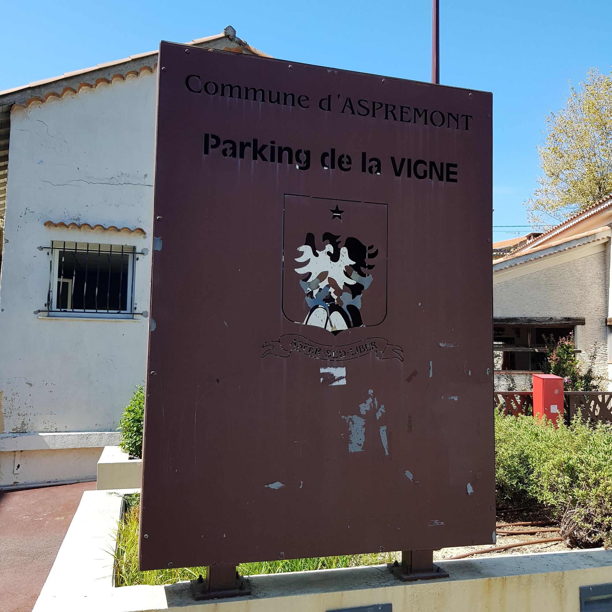
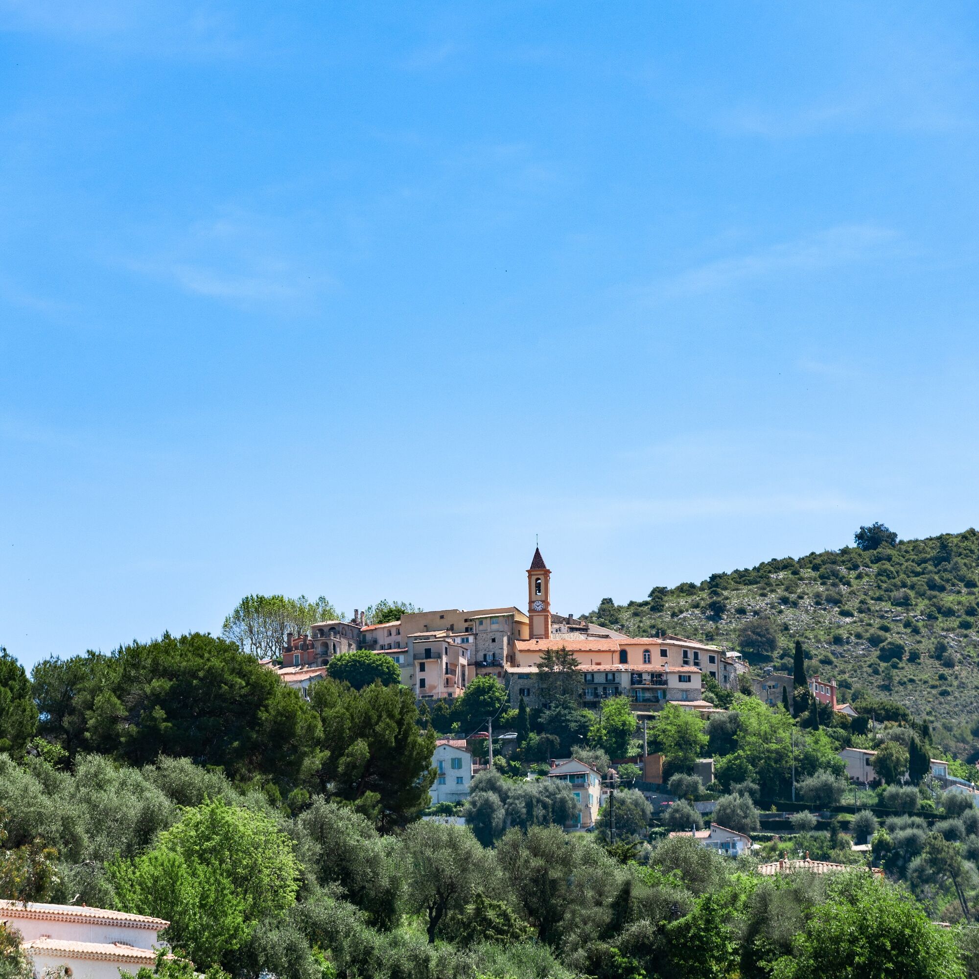
The route starts from the village’s central parking « la Vigne parking »,
join the Nice road and turn left onto the M 719 towards Tourrette-Levens.
After the school, the road makes a long curve to the left.
Soon, turn right and take a hairpin bend towards the track « DFCI CDV27 de la condamine » which skirts Mont Chauve de Tourette on its East side. Continue towards the direction of « la piste de la condamine ».
After a few kilometers without difficulty, the track splits in two. Take the right to fully bypass Mont Chauve.
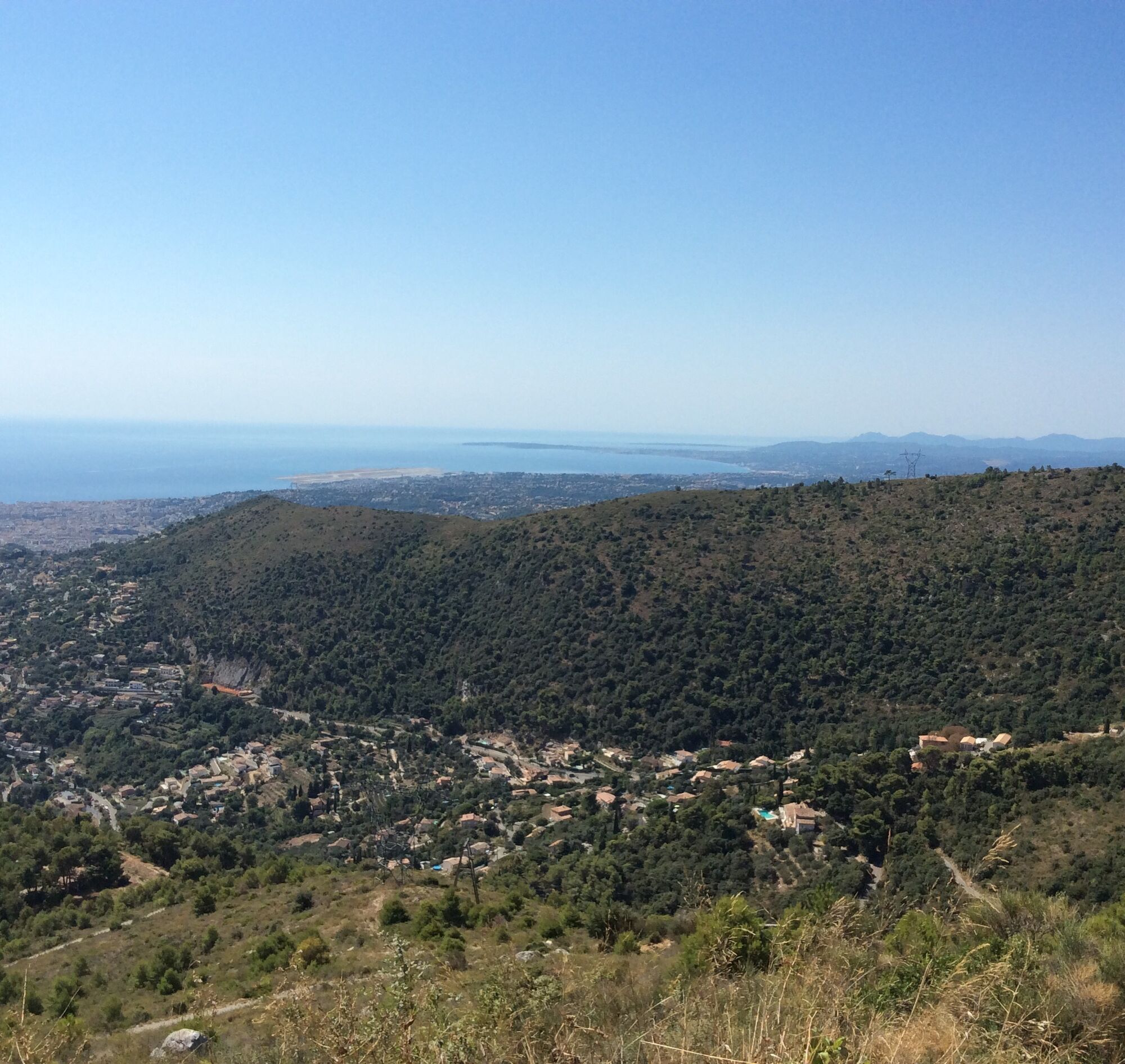
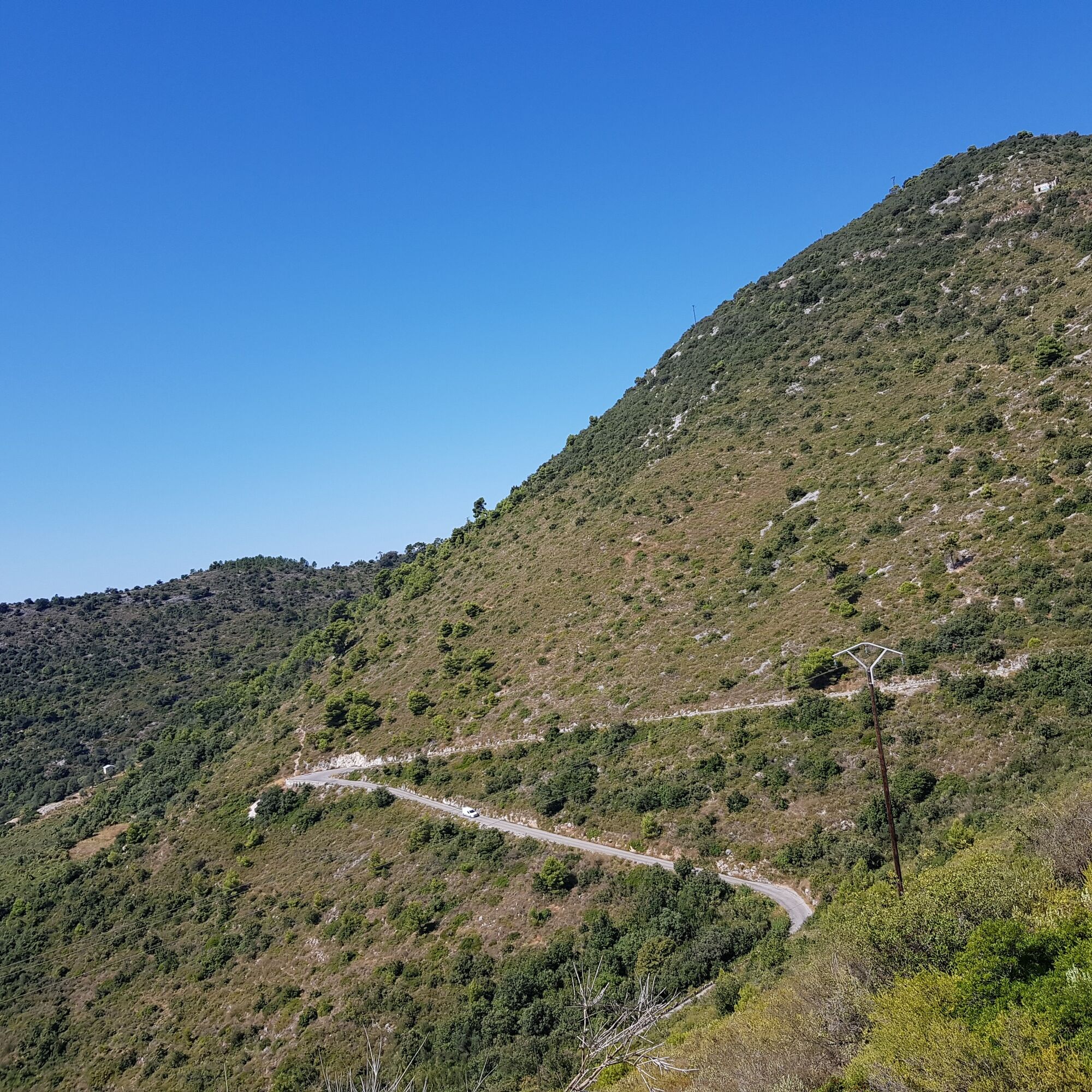
The track opens onto a small road winding through the southern parts of Monts Chauve, offering magnificent views of Nice, the Baie des Anges, the Gairault hills (Saint Michel area), and the Mediterranean Sea stretching as far as the eye can see.
The higher you climb, the wider the landscape becomes; you can see Cap d’Antibes to the right, the Lerins islands, and the Esterel massif in the distance. It was in this section that the film « les cracks » (1968) with Bourvil was shot!
At the place called « Sambule » before a small parking lot, turn right towards « Tir fort du mont Chauve »; this road becomes a track and continues on a slightly left path leading to the baisse de Guigo.
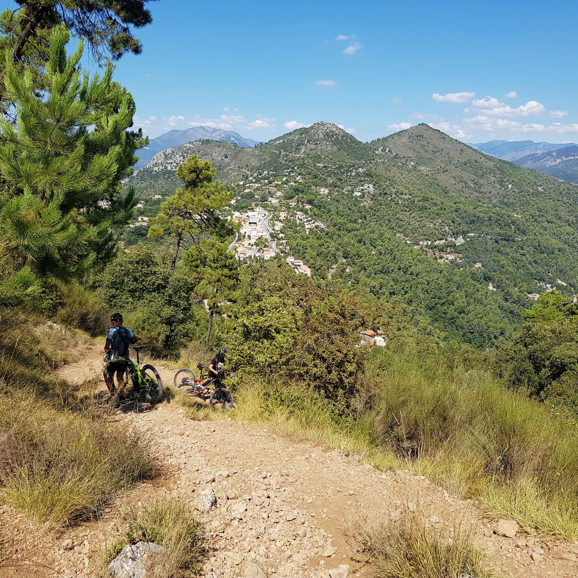
Follow the direction « la prairie »; the path descends and becomes very technical/trial-like for over 500 meters, requiring pushing. Follow the direction to Aspremont on the road all the way to la Vigne parking.
Wear a helmet, provide protective equipment and repair accessories.
Watch the weather: Mountain weather changes quickly, bring warm clothes.
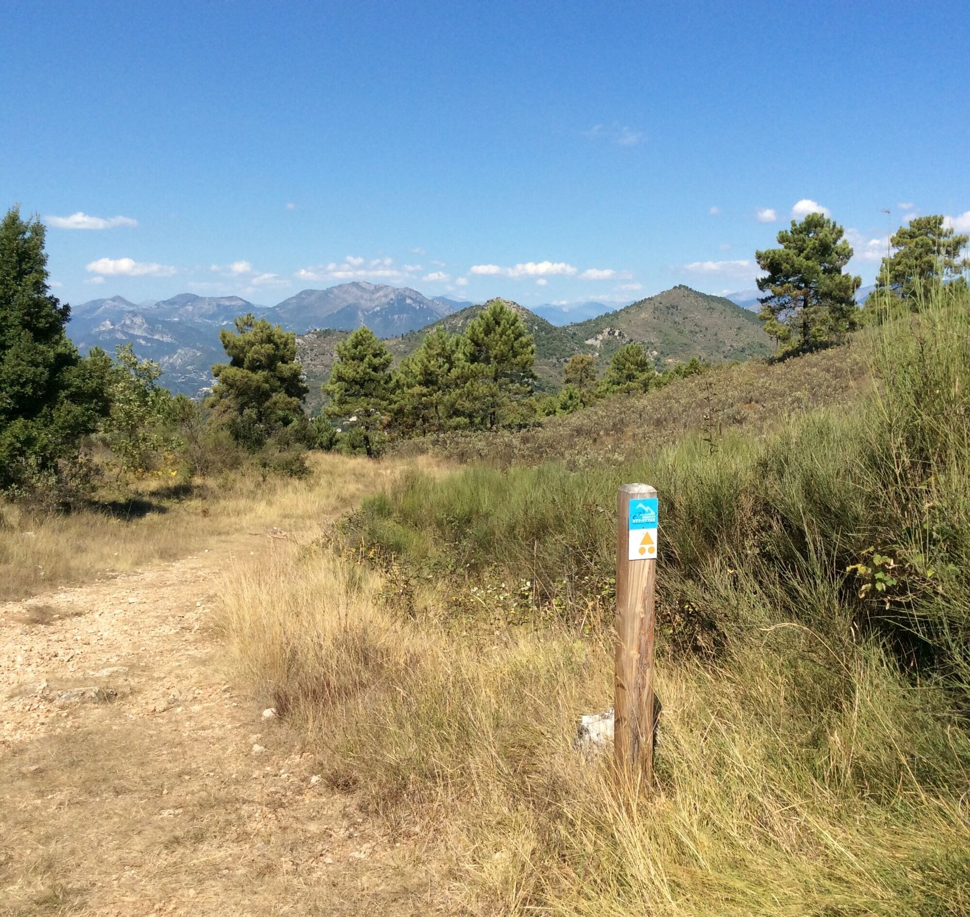
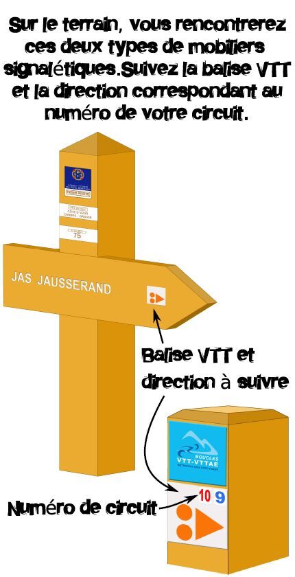
Follow marked trails, do not take shortcuts and respect the direction of the routes.
Before starting a route, check that it fits your level, inspect your mountain bike's condition, and leave your itinerary with someone.
Be careful, courteous and slow down when passing other users.
Be extra cautious during hunting seasons and inquire about ongoing drives.
If you encounter livestock guardian dogs (patous), dismount, avoid sudden gestures, and go around the herd.
Respect private property, farmland, and close gates behind you.
Adopt eco-friendly behavior: carry out your waste and respect the fauna and flora for preserved nature.
Always carry the IGN map corresponding to the itinerary concerned.
The Lignes d’azur network offers a single fare across the entire Métropole Nice Côte d’Azur. Validation is mandatory each time you board the bus regardless of the ticket used. To view all fares, click here: www.lignesdazur.com
The parking at la vigne is free
All outdoor activities in the Métropole Nice Côte d'Azur are on https://outdoor.nicecotedazur.org
Avoid periods of extreme heat to do this route: very few shaded areas. Be careful on the last kilometer: the path is steep, technical, and rocky. It may require pushing depending on your level.
Populära turer i närområdet
-
4,0
Chemin de Nietzsche
ljusVandring 3,73 km -
Little hike at Eze: Fort de la Revère Circuit
ljusVandring 6,02 km -
The "Route des Paysages" between the coast and the middle country of Nice
ljusMotorcykel 147,7 km -
Grande Randonnée® de Pays: Lou Camin Nissart
tungLångdistans vandringsled 44,7 km -
Tour du Cap-Ferrat
MediumVandring 8,99 km -
VTT FFC circuit no. 7 - The Olive Trees Loop
ljusMountainbike 8,09 km -
Kurzweg Abend.
ljusVandring 1,22 km -
Little hike in Nice: the Mont Boron route
ljusVandring 5,13 km -
FFC bike circuit no. 5: on the Tour De France routes (big loop)
MediumLandsvägscykel 74,2 km -
FFC MTB route no. 25: The summit of Broc
MediumMountainbike 18,9 km
Vandring och spårning


Missa inte erbjudanden och inspiration inför nästa semester
Din e-postadress har lagts till på e-postlistan.