


Ennsradweg cycle route - From Radstadt along the Enns to the Danube
Svårighetsgrad: 4


Foton av våra användare
-
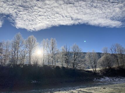
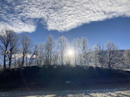
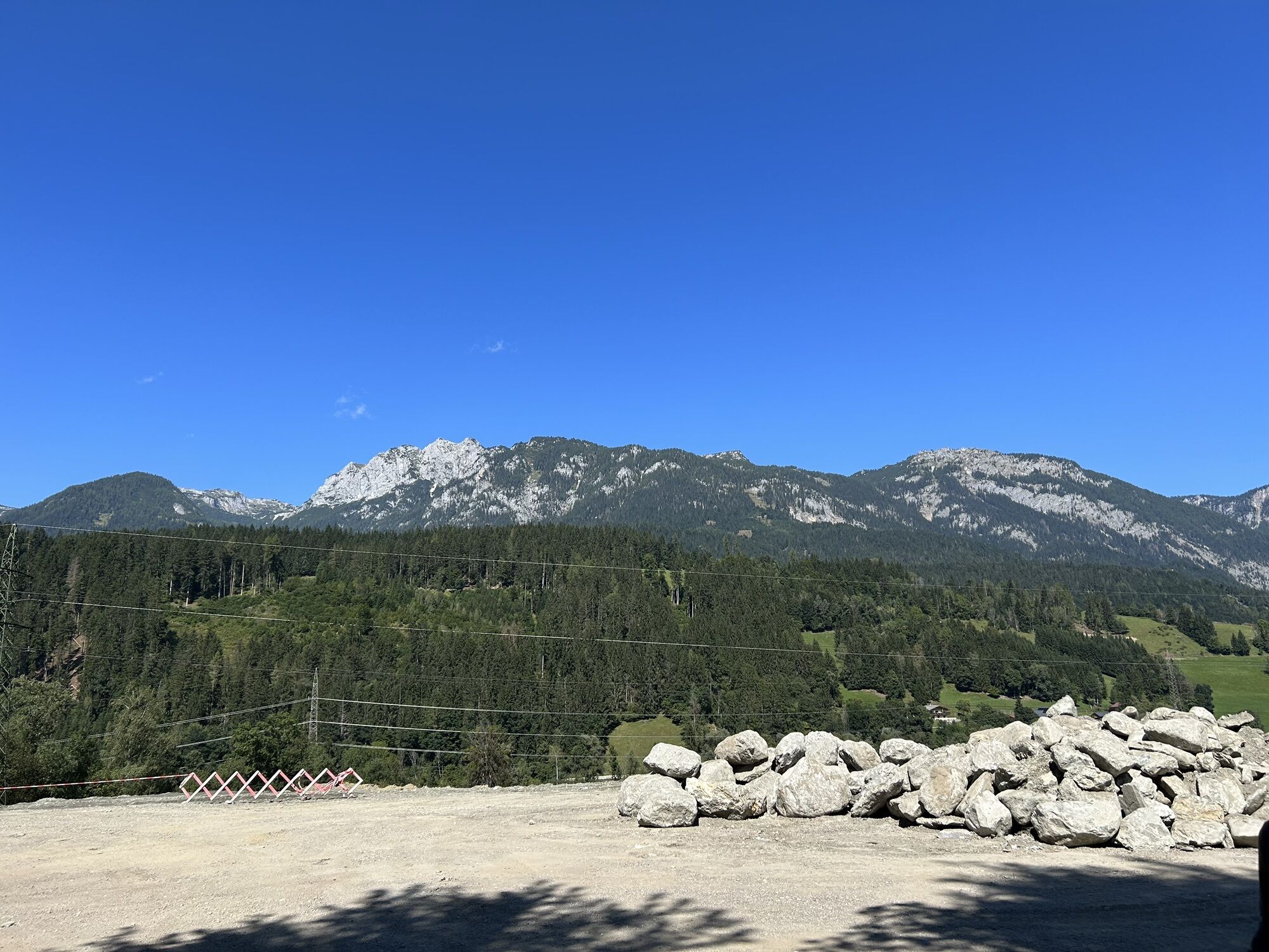
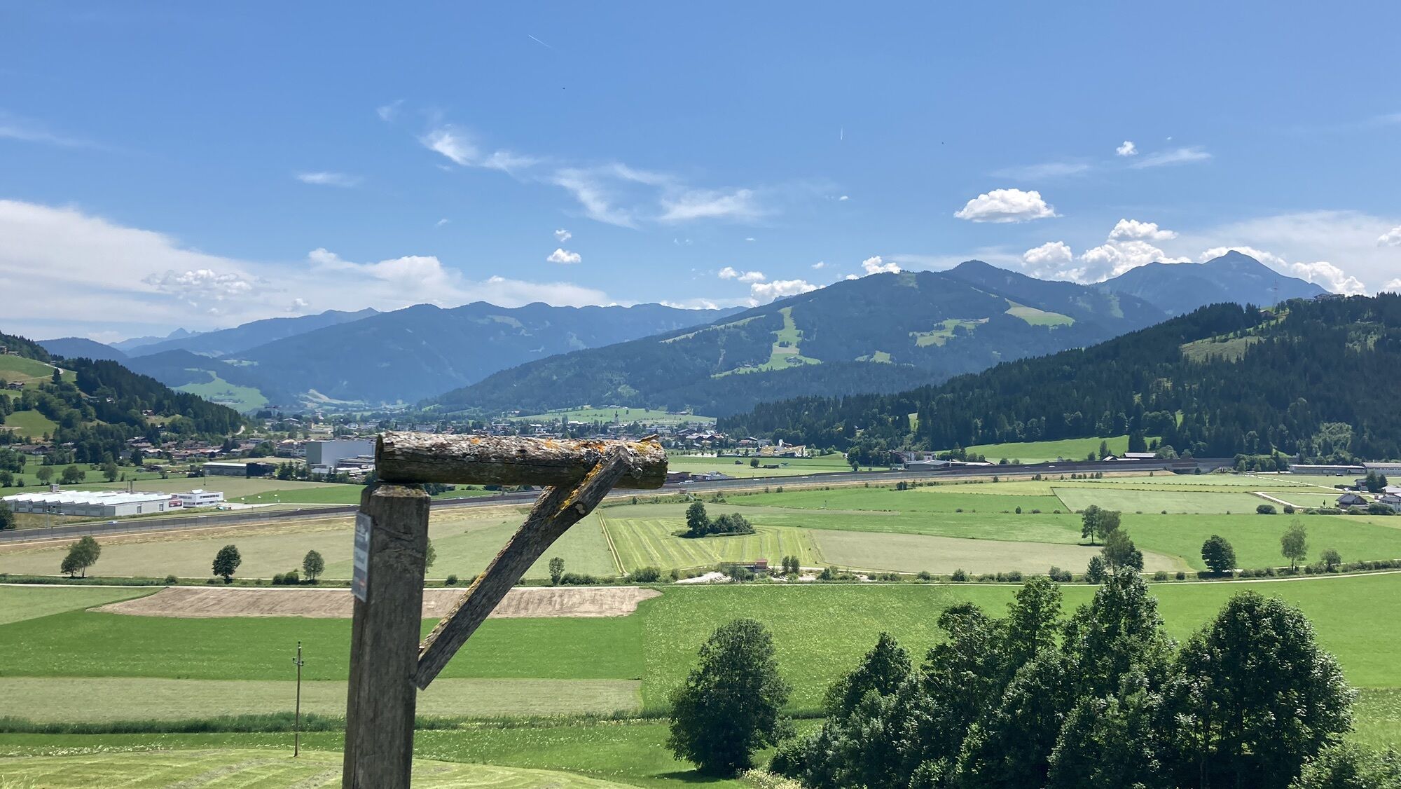
 © Johannes GrießlerSkapad på 30.08.2022
 -
 © Johannes GrießlerSkapad på 30.08.2022
 -
 © Johannes GrießlerSkapad på 30.08.2022
 -
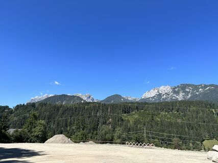
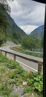
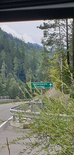
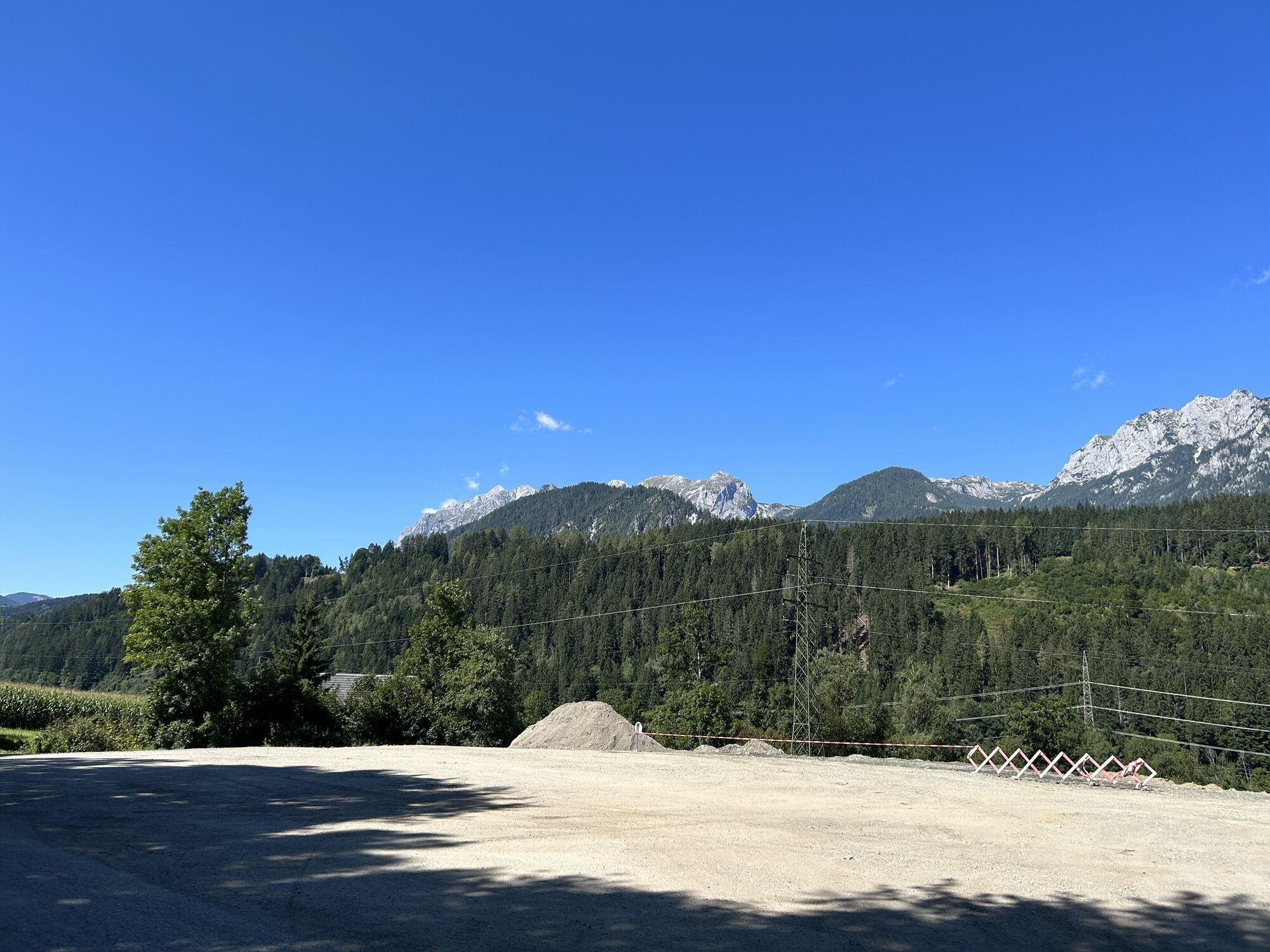
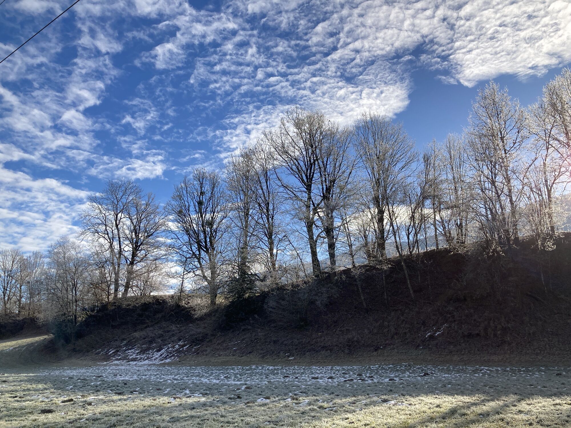
 © Walter KoppitschSkapad på 05.09.2023
 -
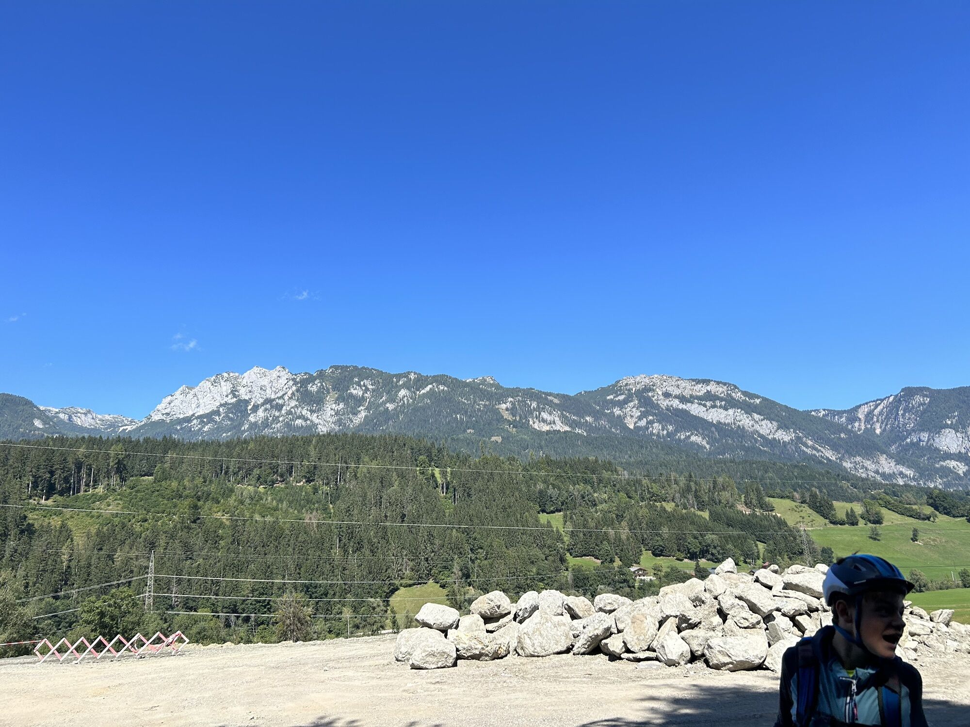
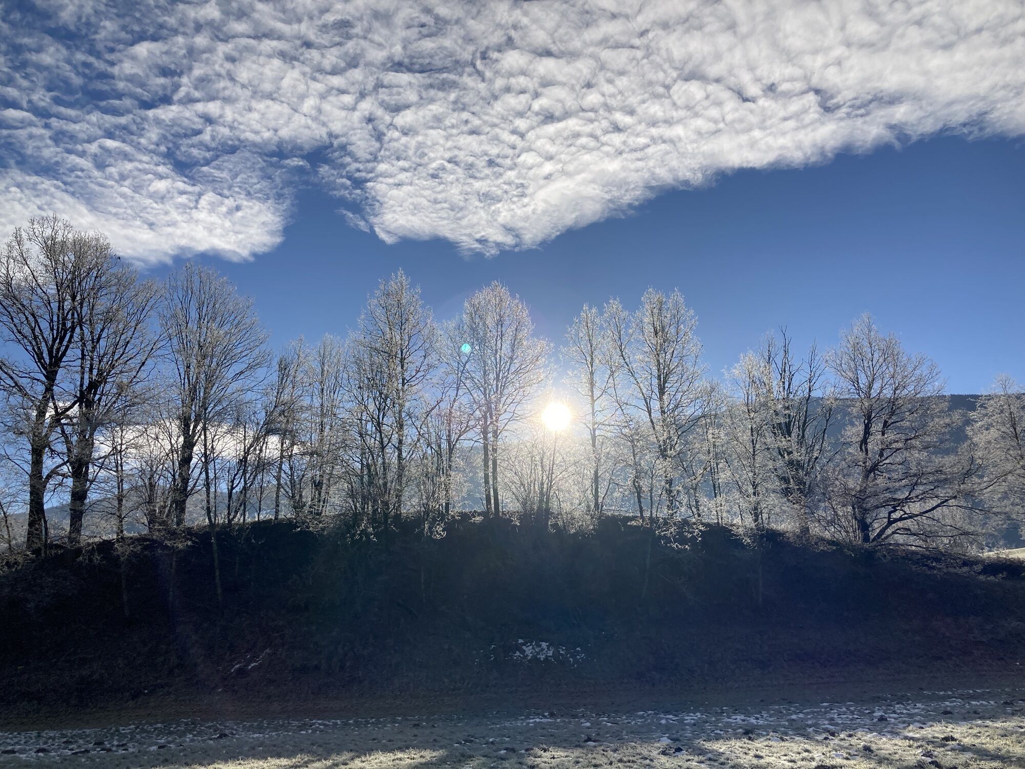
 © Walter KoppitschSkapad på 05.09.2023
 -
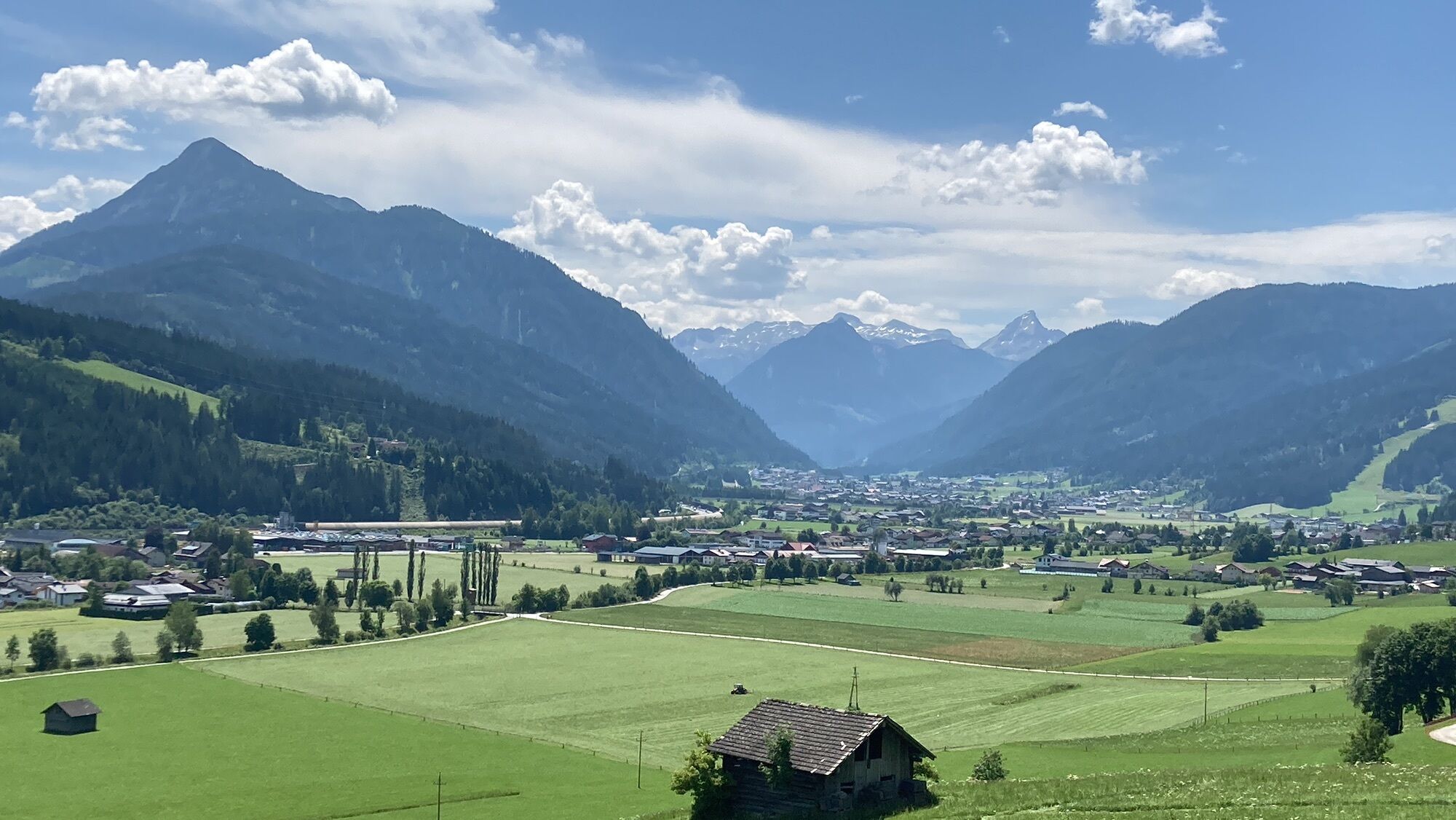
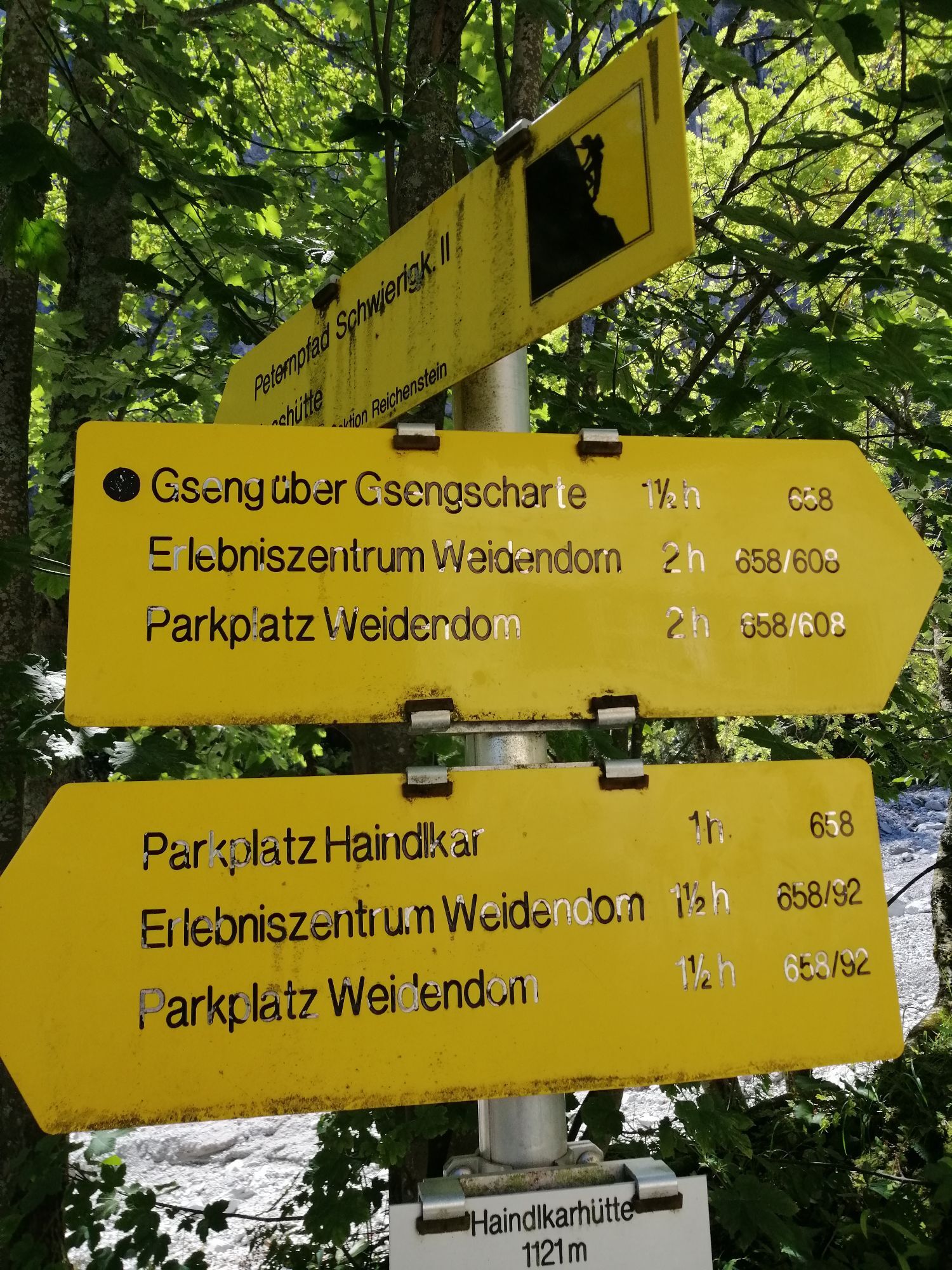
 © Walter KoppitschSkapad på 05.09.2023
 -
 © Walter KoppitschSkapad på 05.09.2023
 -
 © Walter KoppitschSkapad på 05.09.2023
 -

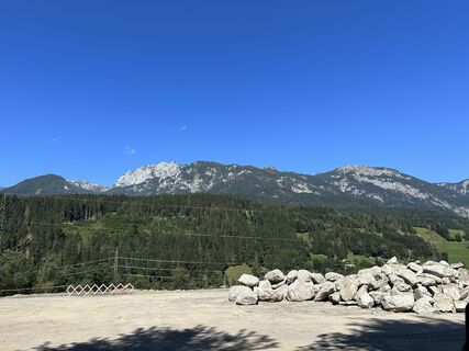
 © Markus VoglSkapad på 08.07.2023
 -
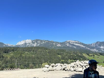
 © Markus VoglSkapad på 08.07.2023
 -
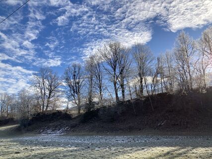 © Walter ReiterSkapad på 29.12.2022
 -
 © Walter ReiterSkapad på 29.12.2022
 -
 © Walter ReiterSkapad på 29.12.2022
 -
 © Johannes GrießlerSkapad på 30.08.2022
 -
 © Paul PodascaSkapad på 30.07.2022
 -
 © Paul PodascaSkapad på 30.07.2022
 -
 © Paul PodascaSkapad på 30.07.2022


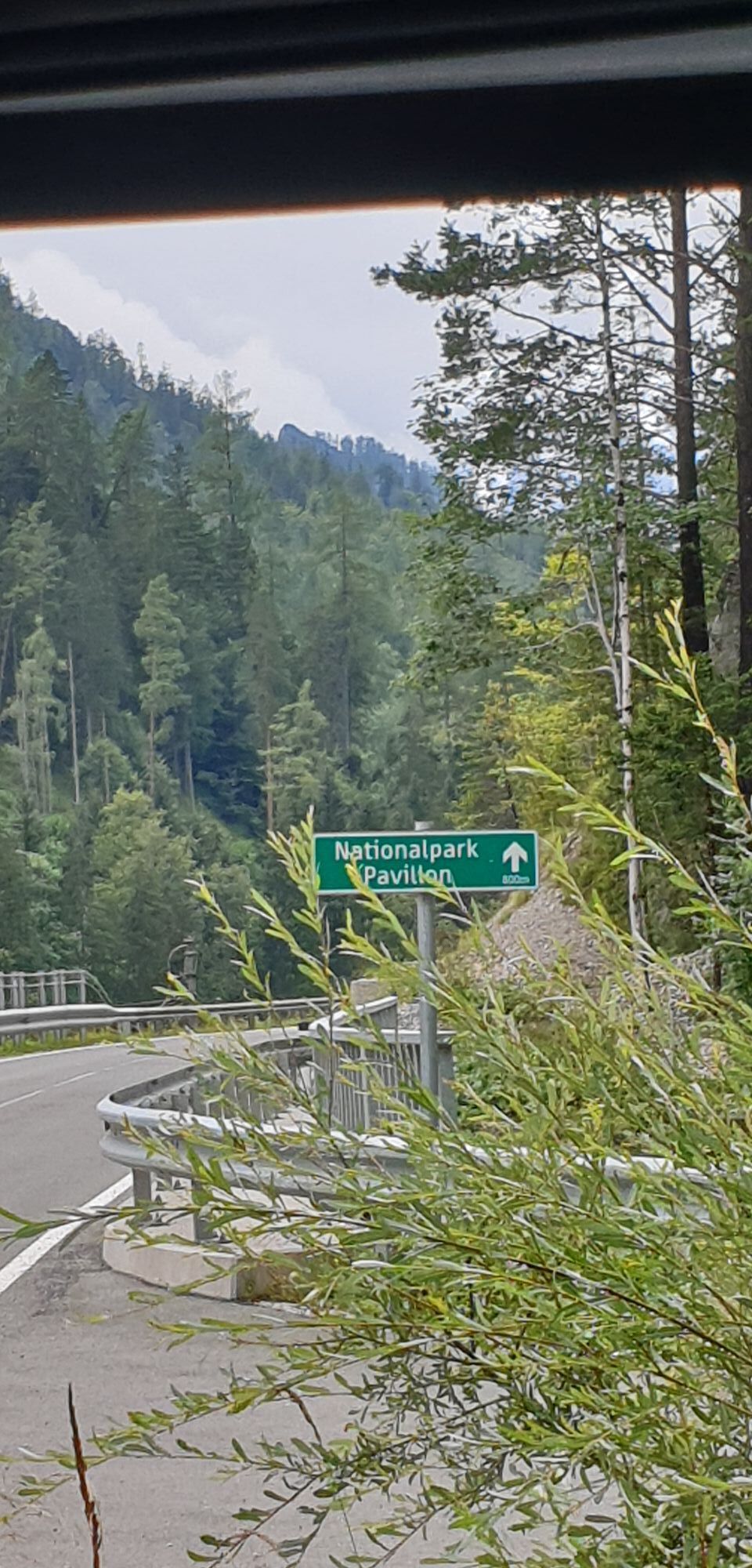
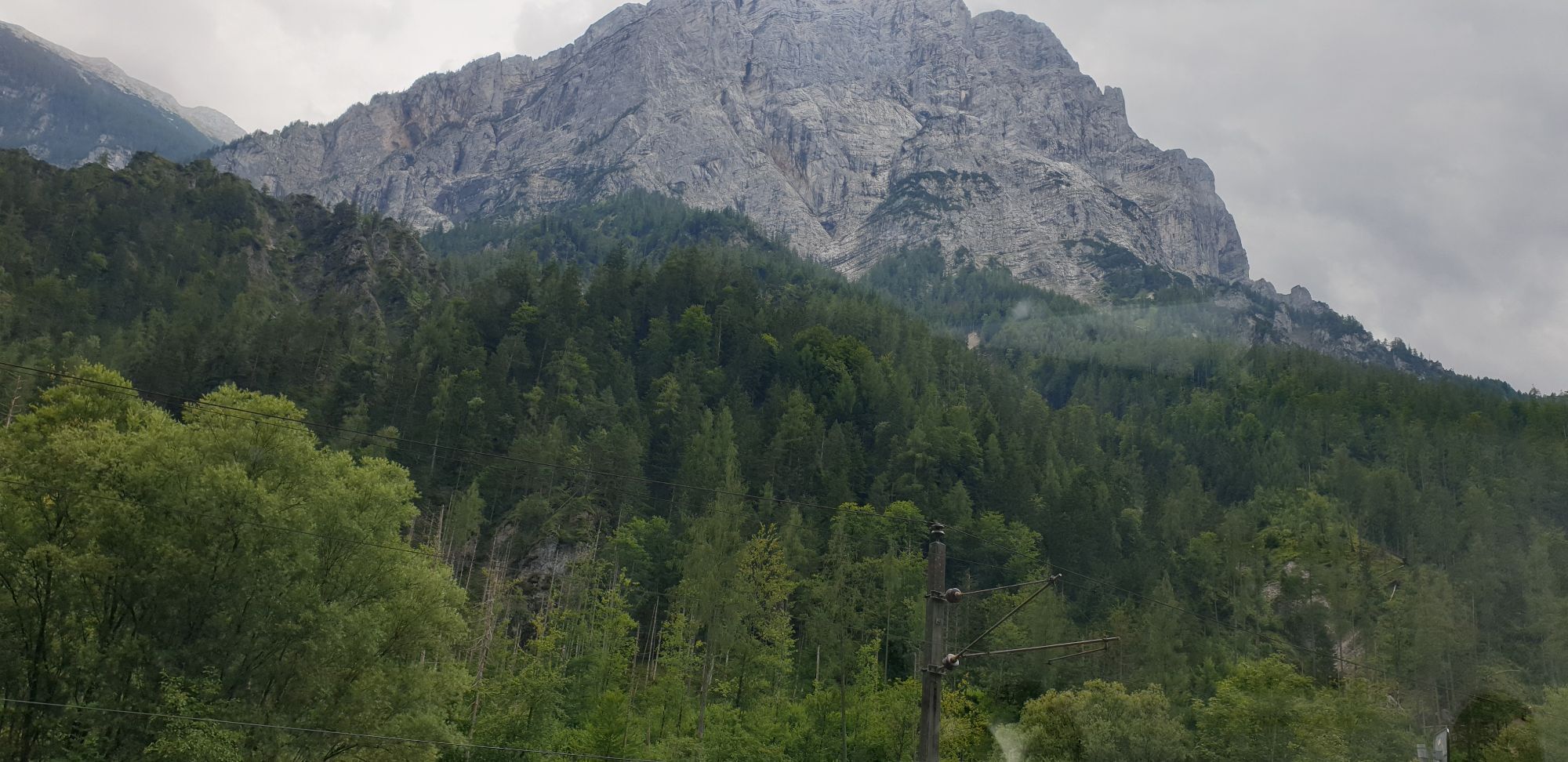
The most recent of Austria's great riverside bike paths is considered one of the more scenic local bicycle trails. As an insider tip for all nature lovers, the route leads through the three states of Salzburg,...
The most recent of Austria's great riverside bike paths is considered one of the more scenic local bicycle trails. As an insider tip for all nature lovers, the route leads through the three states of Salzburg, Styria and Upper Austria and their five tourism regions (Salzburger Sportwelt, Dachstein-Tauern- Region, Bergregion Grimming, Naturregion Gesäuse and Nationalpark Kalkalpen). Impressive mountains, romantic valleys, rushing wild streams, idyllic villages and historic towns accompany you through a unique landscape in between of the Dachstein and Niederen Tauern, Salzkammergut, Gesäuse and Reichraminger Hintergebirge!


Day 1 - Individual arrival in Radstadt
Individual arrival and overnight stay in Radstadt, the small historical city in the Salzburger Sportwelt region.
Overnight stay in Radstadt.
Tip in the case of an early arrival: Tour to the starting point of the Ennsradweg cycle route (approx. 40 km round trip). From Radstadt a slight ascent leads over Flachau to Flachauwinkl, where the Ennsradweg cycle route begins at the confluence of the Enns and the Pleißling rivers.
Day 2 - Radstadt - Aigen im Ennstal (approx. 66 km )
Heading downstream from Radstadt over the state line at Mandling and past the medieval town of Schladming to Trautenfels (castle), the path continues past Irdning to Aigen on the Putterersee lake.
Overnight stay in Aigen.
Day 3 - Aigen im Ennstal - St. Gallen (approx. 71 km)
From Aigen through the shopping city of Liezen to Admont (world's largest abbey library!). Further along the Enns river through the picturesque "Gesäuse", where the Enns abruptly descends almost 130 meters, through Hieflau, Großreifling (forestry museum) to St. Gallen (Gallenstein castle).Shortcut (- 25 km) from Weng (near Admont) over the Buchauer saddle (3 km steep incline, then 13 km downhill) to St. Gallen.
Overnight stay in St. Gallen.
Day 4 - St. Gallen - Reichraming (approx. 49 km)
From St. Gallen to Altenmarkt (state line to upper Austria) and onward along the Enns past Weyer (beautiful market, Enns museum) to Reichraming. The wonderful alternate route (is the heart of the Enns bike trail) leads through the Reichraminger Hintergebirge in the Kalkalpen National Park: from St. Gallen the path climbs 7,5 km to Unterlaussa, followed by a steep 3,5 km ascent to the "Mooshöhe". From there it's downhill through 13 tunnels all the way to Reichraming.
Overnight stay in Reichraming.
Day 5 - Reichraming - Enns (approx. 54 km)
Over Losenstein (ruin), Ternberg, Garsten (Benedictin cloister) and the medieval baroque shopping city of Steyr to Enns, Austria's oldest city. Overnight stay in Enns.
Day 6 - Individual return trip OR additional day
Arrival any day from the middle of May to the middle of October.
By train to Radstadt (express station). There are several daily train connections between Radstadt and the Danube. Bike transport is possible on most trains but there is a reservation duty. Unfortunately the train connection between Enns and Radstadt is not ideal, as one has to change trains 2-3 times. A better option is to travel from St. Valentin (1-2 transfers; 3 hours 19 minutes traveling time; 8 kilometers from Enns) to Radstadt. For more detailed information visit www.oebb.at or call +43 51717. Alternatively in addition we recommend the bus transfer below.
Bus transfer from Enns to Radstadt:
Bus transfer every Sunday at 11.00 including bike and luggage transfer. 2 people for travel dates in July and August. Other time: 4 people. Price: € 59,- per person; Info/Booking: Habersatter Reisen, Tel: +43 6452 7788, habersatter-reisen.com/en-bike-transfer-ennsradweg
Taxi transfer:
From Enns to St. Valentin (train station) including bike and luggage transfer: approx. € 25,00 for up to 8 persons. Tel: +43 7435 59000 (www.taxi-59000.at) or +43 664 8214327.
4
You'll find further information about the offer on our bicycle-homepage: www.ennsradweg.at/en
5 nights in selected inns / hotels of the 2-3 star category, rooms with shower / toilet including breakfast and lockable bike garage.
Booking of half board and luggage transport possible.
Booking of additional nights possible.
Detailed maps (including the "Enns-Radweg" Bikeline bike tour book)
Information on accommodation, train connections, etc.
The tour begins with the arrival in Radstadt. (Tip for early arrival: tour to the start of the Ennsradweg cycle route and back to Radstadt.) From Radstadt it goes to Aigen im Ennstal and from there to St. Gallen and on to Reichraming. The tour ends in Enns.
Populära turer i närområdet
-
4,9
Nazogel und Angerkogel
MediumVandring 10,9 km -
4,5
Von der Bosruckhütte auf den Großen Pyhrgas
tungVandring 9,57 km -
4,8
Kleiner Pyhrgas
MediumVandring 9,64 km -
4,7
Dr. Vogelsangklamm 2 (3) Hütten Rundwanderung
MediumVandring 11,2 km -
4,6
Bosruck, Lahnerkogel Kitzstein
MediumVandring 11,2 km -
4,5
Stodertaler Dolomitensteig
tungVandring 10,1 km -
4,4
Vorderstoder Zellerhütte Warscheneck retour 09.07.2015
MediumVandring 15,8 km -
4,4
Karleckrunde über die Ochsenwaldalm
MediumVandring 8,40 km -
4,8
Warscheneck vom Schafferteich via Zellerhütte
MediumVandring 15,9 km -
4,4
Seespitz, Gleinkersee
MediumVandring 8,70 km
Vandring och spårning


Missa inte erbjudanden och inspiration inför nästa semester
Din e-postadress har lagts till på e-postlistan.