


Salzburger Almenweg - Stage 18: Zauchensee – Gnadenalm – Obertauern


Foton av våra användare
-
 © Jens Thomas 4Skapad på 23.07.2025
 -
 © Jens Thomas 4Skapad på 23.07.2025
 -
 © Jens Thomas 4Skapad på 23.07.2025
 -
 © Jens Thomas 4Skapad på 23.07.2025
 -
 © Jens Thomas 4Skapad på 23.07.2025
 -
 © Jens Thomas 4Skapad på 23.07.2025
 -
 © Jens Thomas 4Skapad på 23.07.2025
 -
 © Agatha WitkowskiSkapad på 28.10.2022
 -
 © Agatha WitkowskiSkapad på 28.10.2022


The Radstädter Tauern Mountains have been one of the most important Alpine crossings in SalzburgerLand since pre-Christian times. Even the Romans used this route intensively, expanded it and maintained...
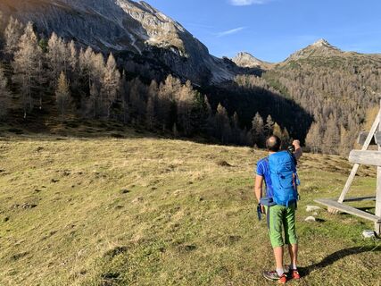
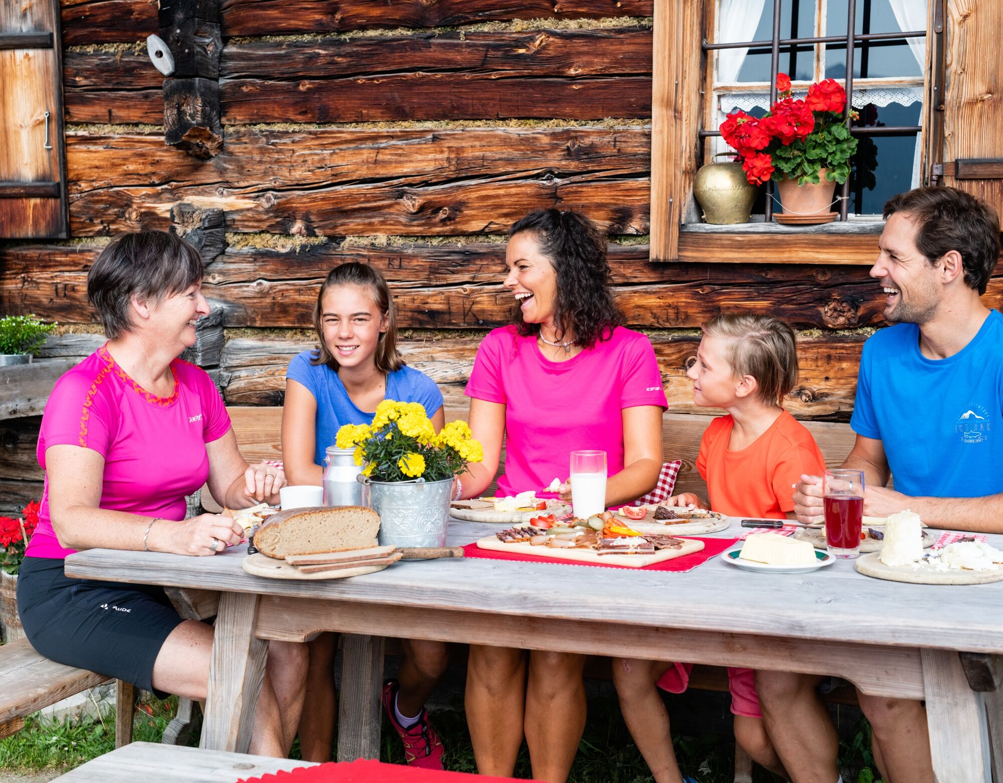
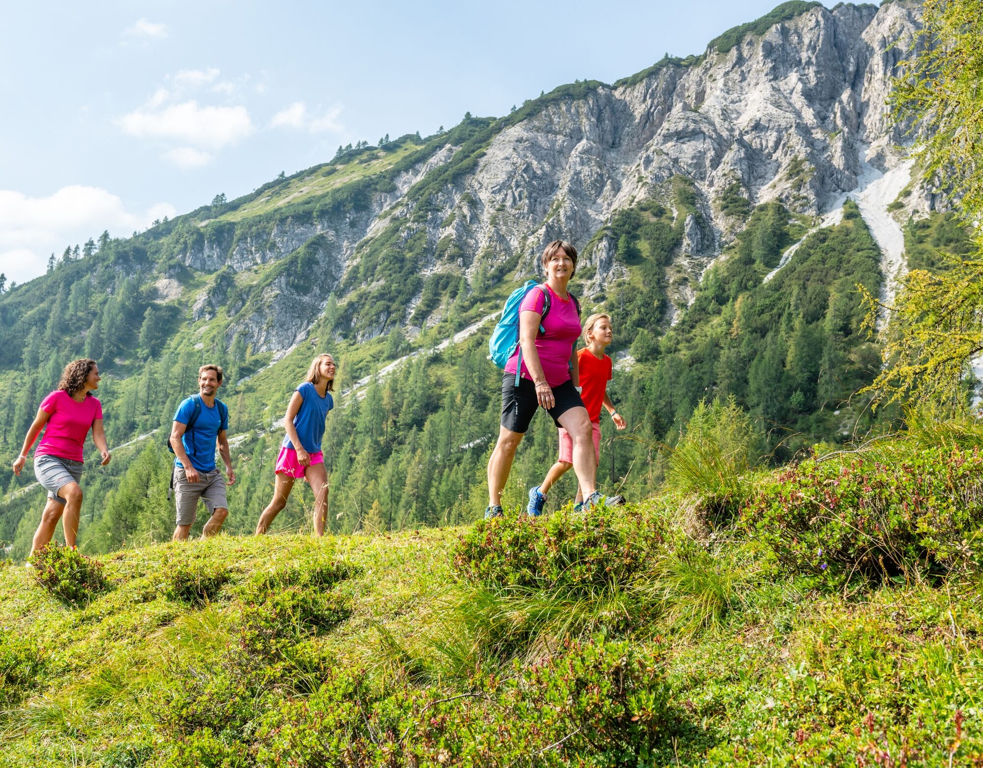
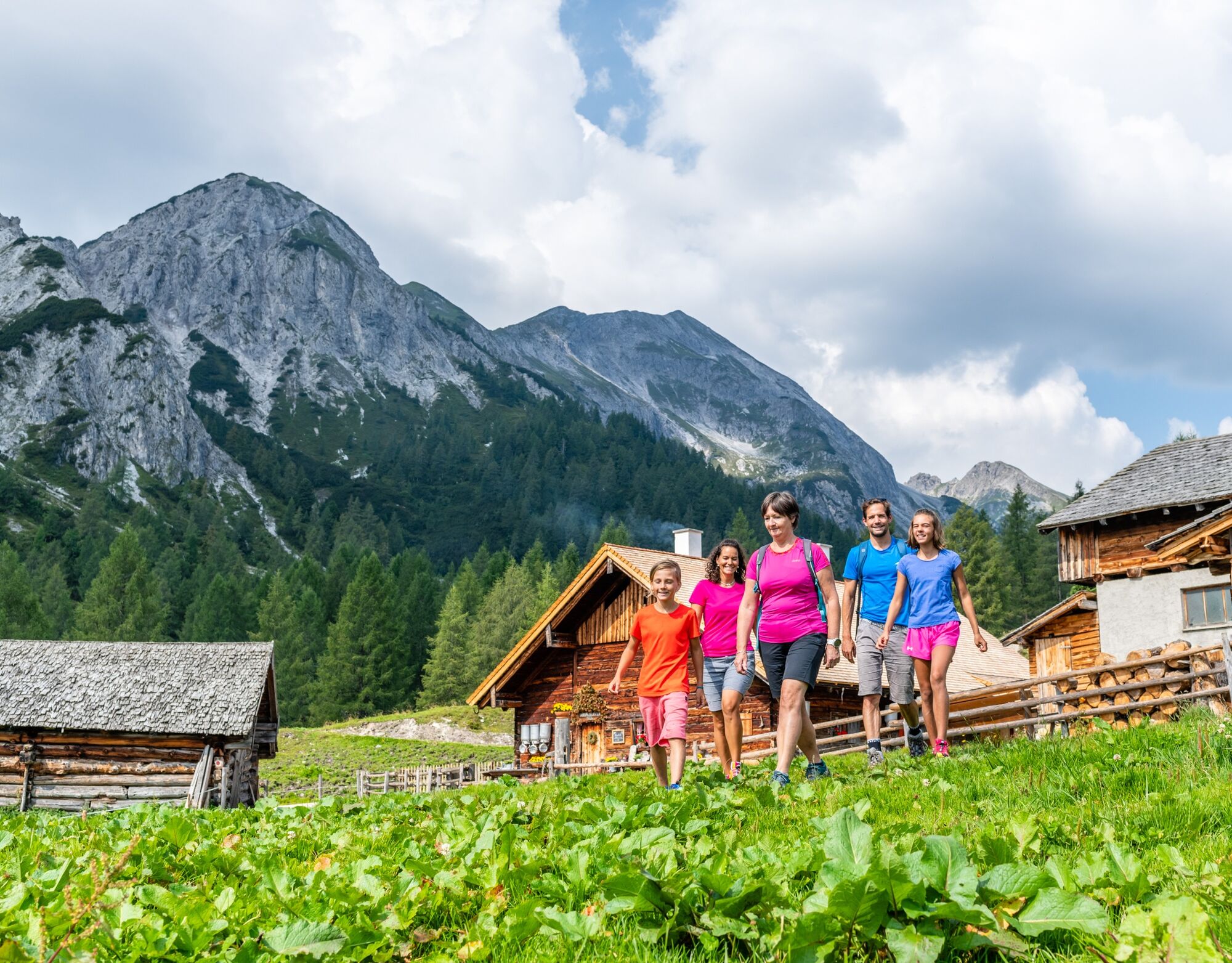
The Radstädter Tauern Mountains have been one of the most important Alpine crossings in SalzburgerLand since pre-Christian times. Even the Romans used this route intensively, expanded it and maintained a post and horse changing station, a so-called "Mansio", at the top of the pass. Today's stage always leads from the World Cup Town of Zauchensee to the south and said Radstädter Tauern. Numerous managed alpine huts are located along the trail, which leads past sinkholes, wet meadows, through mountain pines and larches to the Gnadenalm, which was until the 17th century owned by the Salzburg Prince-Archbishops. Today, alpine huts invite you to stop for a bite to eat and a themed trail offers exciting insights into alpine life from then and now. A stop is worthwhile everywhere, especially to taste the famous "Radstädter Kas" (cheese), but make sure to be well rested! The ascent from the Gnadenalm to the Ennslehenhütte/Oberpleißlingalm and then the onward hike at almost the same altitude to the center of Obertauern at the end of the stage is once again challenging with around 500 meters of ascent.
Alpine Trail History
Again and again, hikers in the Alps come across mountain huts and refuges whose names have little to do with the environment in which they are located, such as the Südwiener hut or the Niedersachsenhaus in Gastein. Where this comes from is quickly explained. The respective names refer to the section affiliation of the huts. For example, the Niedersachsenhaus is a refuge of the Hanover section of the German Alpine Club. The Südwiener hut was opened in 1828 and is a refuge of the Vienna Alpine Club "Gebirgsverein". The huts refer back to the beginnings of “Alpinism”, when movement in nature became fashionable, especially among the urban population, and the Alps became a stated destination.
Along the trail
Sinkholes, wet meadows and mountain pines - all these alpine peculiarities are on the trail today. But what exactly is this? Sinkholes are so-called sink caves, which occur in Karst areas, which in turn are typical of the Northern Limestone Alps in which you are currently located. And sinkholes are not to be underestimated, so be sure to stay on the trail! Wet meadows, on the other hand, are habitats for special plants such as woolly grass or wet meadow orchids. In Pongau, mountain pines are the trees from which the highly effective mountain pine oil is also produced.
Alpine Trail Refreshment
The Tauernkarleitenalm is managed by dairyman Michael Haym and his wife Veronika. Here, they serve special alpine delicacies such as the famous "Radstädter Kas", a kind of sour cheese, homemade bread and much more.


After a hopefully wonderful night at over 1,350 metres above sea level, we continue on the Salzburger Almenweg towards the south and Radstädter Tauern. From Zauchensee, the unserviced Oberzauchenseealmen (1,556 m) can be reached in just over half an hour's walk via trail no. 85, which runs south along the valley floor. From here, the goods road (now with path no. 84) continues towards the head of the valley and after about 500 metres the footpath to the Stubhöhe (1,793 m) branches off to the left: Once there, several long-distance hiking trails such as the Arnoweg, the Harfeicht Tour or the Strimskogel circuit meet. The Almenweg leads over a larch meadow interspersed with mountain pines and limestone boulders to the left (to the east, path no. 84) down to the managed Tauernkarleitenalm (1,653 m), which is also a certified alpine summer hut. Here a fantastic panorama opens up to the southeast, which can be enjoyed with a little refreshment.
From here, the path leads downhill on a well-developed goods road to the Gnadenalm, which is reached after a good two and a half hours of walking time and is the lowest point of today's stage. Here you follow the goods road branching off to the right for a good 2 kilometres, which leads through the flat and wide valley basin to the south to the Hinterngadenalm. This alpine pasture does not only consist of an alpine hut, but offers several places to stop for refreshments, such as the Weißenhof Almhütte, the Gschwendthofhütte, Palfenhütte and Huberhütte. But beware: the tour is not over yet! Now it's uphill again: around 500 meters in altitude are covered to the Ennslehenhütte/Oberpleißlingalm. At the fork in the trail directly at the Hintergnadenalm, take the right-hand path (no. 28) and follow first a forest road and later a footpath to the managed Ennslehenhütte/Oberpleißlingalm (next to the former Südwienerhütte) at 1,802 meters above sea level. From here, take the Almenweg in an easterly direction to the Hirschwandsteig. From here, the trail continues at an altitude of between 1,650 and 1,750 meters with a magnificent panorama in the direction of Obertauern.
Shortly before the temporarily managed Felseralm (youth hostel), the Almenweg continues straight ahead at a fork in the road and above the Felseralm into flatter terrain through larch forests. In front of the Neuhofalm, which is not managed, the footpath joins a forest road, on which it continues straight ahead past the Tauernhof. At the next junction, continue straight ahead until a hiking trail branches off to the right, which you follow along the edge of the forest to the parking lot of the Grünwaldkopfbahn cable car and on to the valley station of the cable car and today's destination. From the Gründwaldkopfbahn valley station, there are various places to stop for refreshments and overnight accommodation within walking distance.
Refreshment and accommodation options
Tauernkarleitenalm (1,653 m), (after approx. 1.5 hours), mid-June to the end of September T. +43 664 5925198 refresh.
Restaurant Wirtshaus Gnadenalm / Vordergnadenalm (1,278 m) (after approx. 2 hours), end of May to end of October, T. +43 6456 7351 refresh.
Gschwendthofhütte/Hintergnadenalm (1,336 m) (after approx. 2.5 hours), Whitsun until the end of October, T. +43 664 5252 847 refresh. / Alpine summer hut
Palfenhütte/Hintergnadenalm (1,336 m) (after approx. 2.5 hours), Whitsun to mid-September, T. +43 664 2062292, refresh.
Huberhütte/Hintergnadenalm (1,336 m) (after approx. 2.5 hours), beginning of June to the end of September, T. +43 664 3003223, refresh.
Ennslehenhütte/ Oberpleißlingalm (1,780 m) (after approx 4.5 hours), mid of June to mid of september (Wednesday & Thursday closed), T. +43 664 53 29 114 oder T. +43 664 40 34 763, refresh.
Numerous refreshment and accommodation options in Obertauern (after approx. 7 hours), www.obertauern.com refresh. / accomm.
Accomodation Partner Salzburger Almenweg Information and Booking Centre powered by Trail Angels:
Hotel Alpina, more information: https://www.hotelalpinaobertauern.at/hotel-alpina-obertauern-salzburg-schladming-dachstein-oesterreich T., +43 6456 7336
Hier finden Sie alles rund um den passenden Wanderschuh, die perfekte Ausrüstung und die richtige Geh-Technik.
To make sure your day in the mountains is an unforgettable experience, here you can find some tips to keep you safe in the mountains.
Tauernautobahn A 10, exit Altenmarkt (EXIT 63), exit Altenmarkt West, along Oberndorfer Straße, at the intersection (BP petrol station) turn left on the Bundesstraße (B 163), turn right at the market square direction Zauchnesee.
Zauchensee is easily accessible by public transport with the nearest train station at Radstadt, from where you take the Postbus to the stop Weltcuparena Zauchensee.
Free parking is available in the center of Altenmarkt. For your own safety, please do not forget to leave the Salzburg Alpine Trail parking disc from the brochure in your car. In Zauchensee there is no public parking, here please ask the accommodation business if longer parking is possible.
For further information about the Salzburger Almenweg click here.
Altenmarkt-Zauchensee Tourism
Sportplatzstraße 6
A-5541 Altenmarkt-Zauchensee
Tel: +43 6452 5511
E-Mail: info@altenmarkt-zauchensee.at
www.altenmarkt-zauchensee.at www.facebook.com/altenmarkt-zauchensee
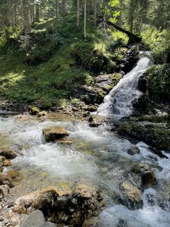
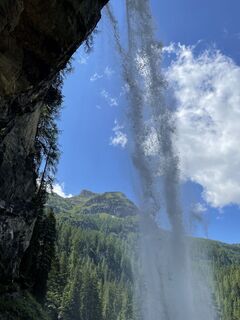
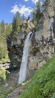
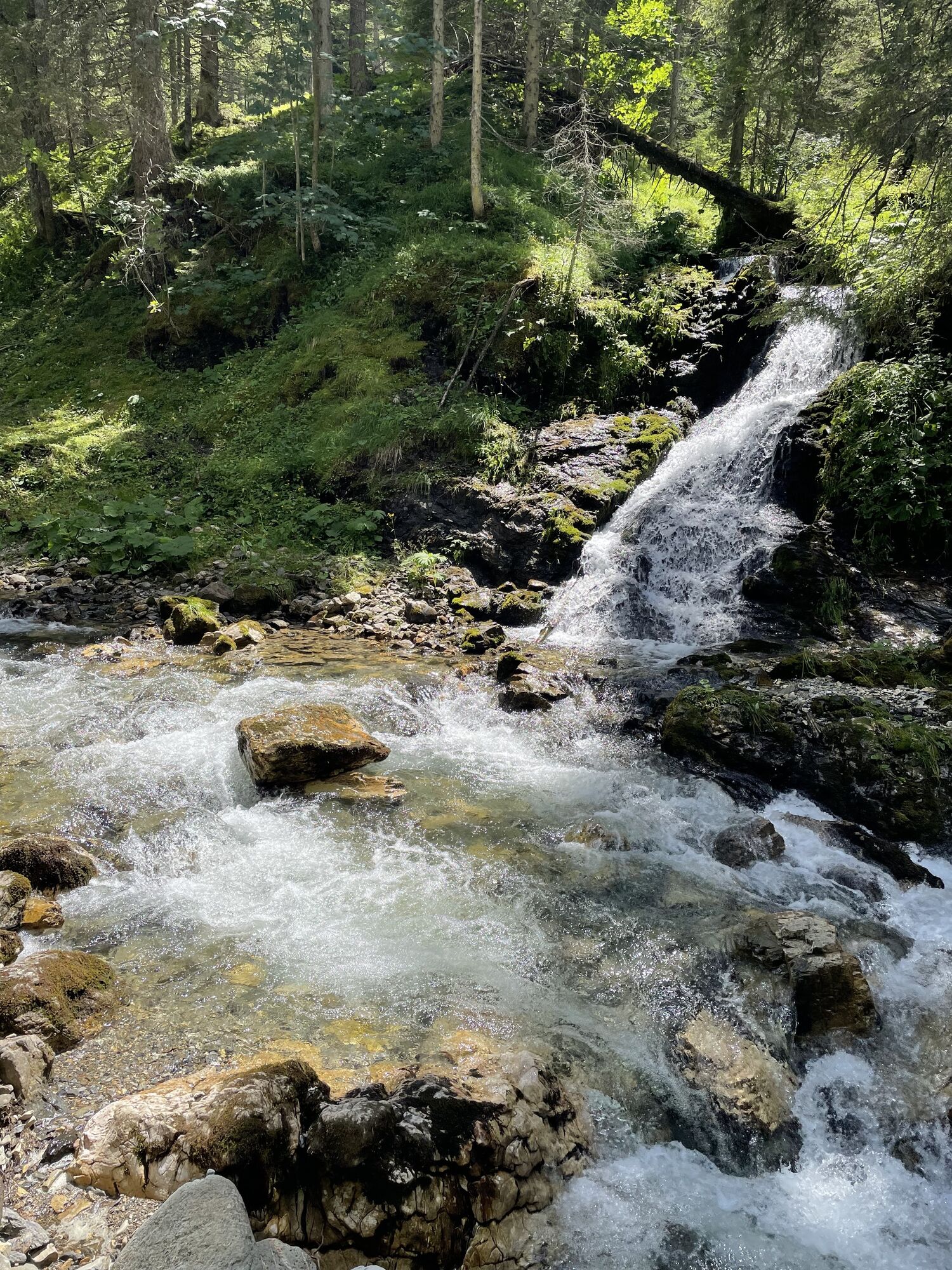
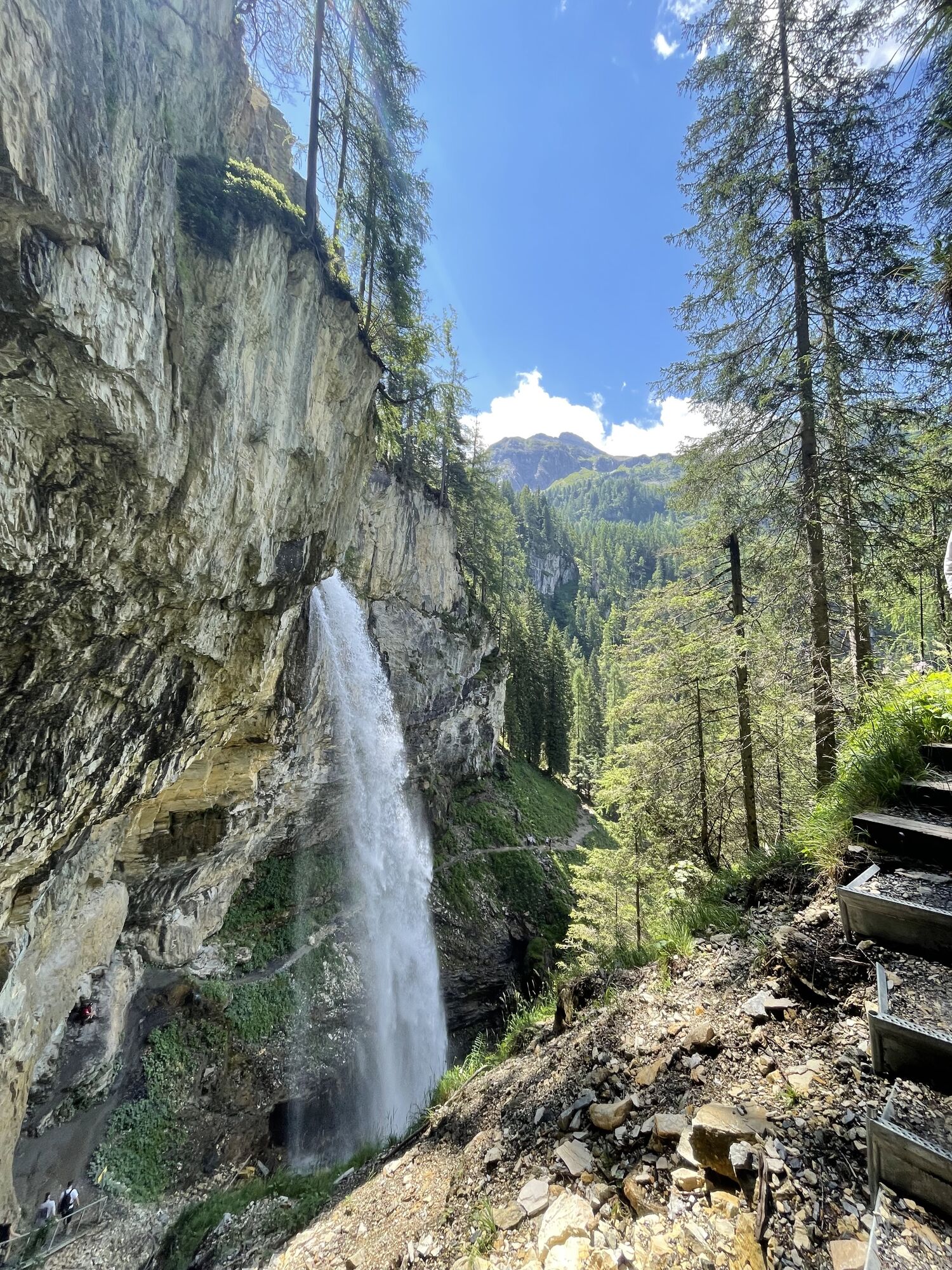
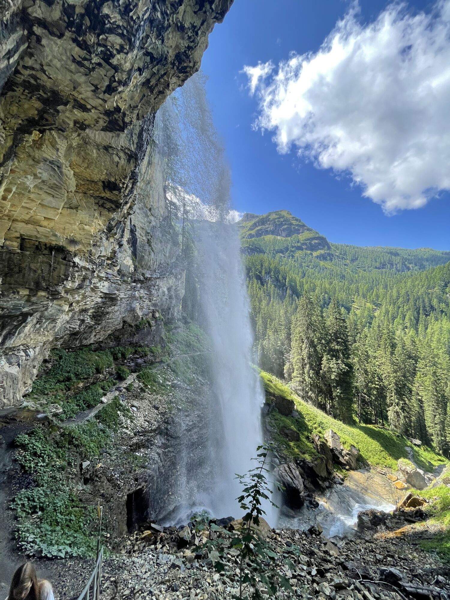
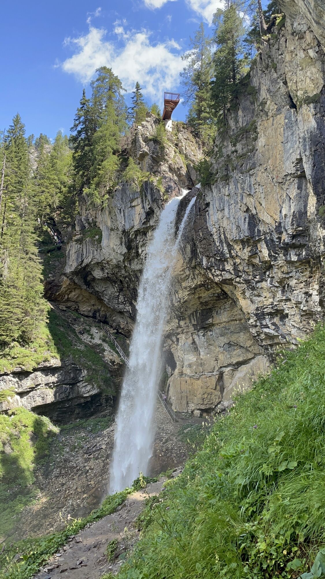
At the Gnadenalm you find the themed trail "Alles Alm" with ten entertaining theme stations that offer exciting insights into alpine life from then and now. A beautiful photo opportunity is also the 60 metre high Johannes Waterfall.
Webbkameror för rundturen
-
Gamskogelhütte
-
Plattenkar
-
Gnadenalm
-
Grünwaldkopf
-
Seekar
-
Sporthotel Snowwhite
-
Hotel Cinderella
-
Sonnenterasse Edelweissalm
-
Hotel Garni Gloria
-
Lürzeralm
-
Hotel Kesselspitze
-
Sporthotel Edelweiss
-
Hotel Auerhahn - Obertauern
-
Freudenhaus Obertauern
-
Breitlehenalm
-
Gamsleiten
-
Zauchensee
-
Obertauern - Haus Petergstamm
-
Zauchensee
-
Obertauern - Almschlössl & Schrotteralm
-
Seekarhaus - Obertauern
-
Seekarhaus - Bergstation Seekarspitzbahn
-
Zauchensee - Rosskopf
-
Seekarhaus 3
-
Schaidberg
-
Zehnerkar
-
Obertauern - Hundskogel
-
Obertauern - Gamsleiten
-
Hotel “Der Sailer”
Populära turer i närområdet
-
4,2
Ursprungquellweg - von der Ursprungalm zu den Giglachseen
ljusTema spår 9,63 km -
4,8
Reiteralmrunde
ljusVandring 5,71 km -
4,1
Reiteralm Höhen-Rundweg
MediumVandring 5,50 km -
4,7
Mosermandl Windischscharte, Salzburger Land/Österreich
tungVandring 14,6 km -
4,4
Uralm - Giglachsee
ljusVandring 7,70 km -
4,2
Ennskraxn (2410m)
tungVandring 14,7 km -
4,7
Steirische und Lungauer Kalkspitze über das Kranzl
tungVandring 10,9 km -
5,0
Rundwanderweg von der Fallhausalm und Vögeialm übers Klamml zur Oberhütte am See
MediumVandring 10 km -
4,5
Ursprungalm - Hochwurzen
MediumVandring 9,37 km -
5,0
Twengsee
MediumVandring 9,66 km
Vandring och spårning


Missa inte erbjudanden och inspiration inför nästa semester
Din e-postadress har lagts till på e-postlistan.