


Großarl: Breitenebenalm


Foton av våra användare
The starting point of this route is on the valley bike path at Großarler Genuss and is about 4.2 km from the centre of Großarl (direction St. Johann im Pongau). The route follows the Sonneggweg at Großarler...
The starting point of this route is on the valley bike path at Großarler Genuss and is about 4.2 km from the centre of Großarl (direction St. Johann im Pongau). The route follows the Sonneggweg at Großarler Genuss – from here it goes uphill. Passing several houses and farms, you eventually reach the Sonneggbrücke, which is a very popular starting point for many hikes. You reach Breitenebenalm through the forest via the gravel road.
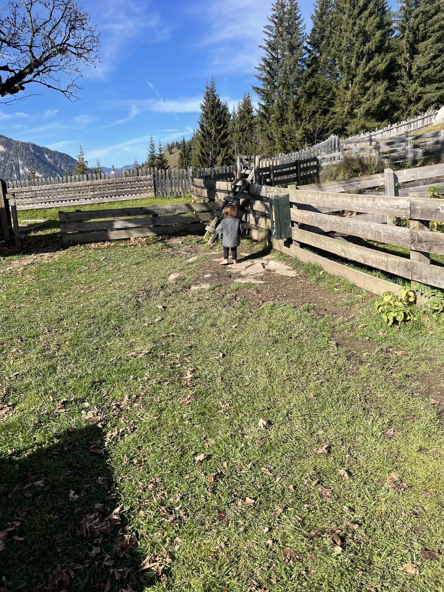
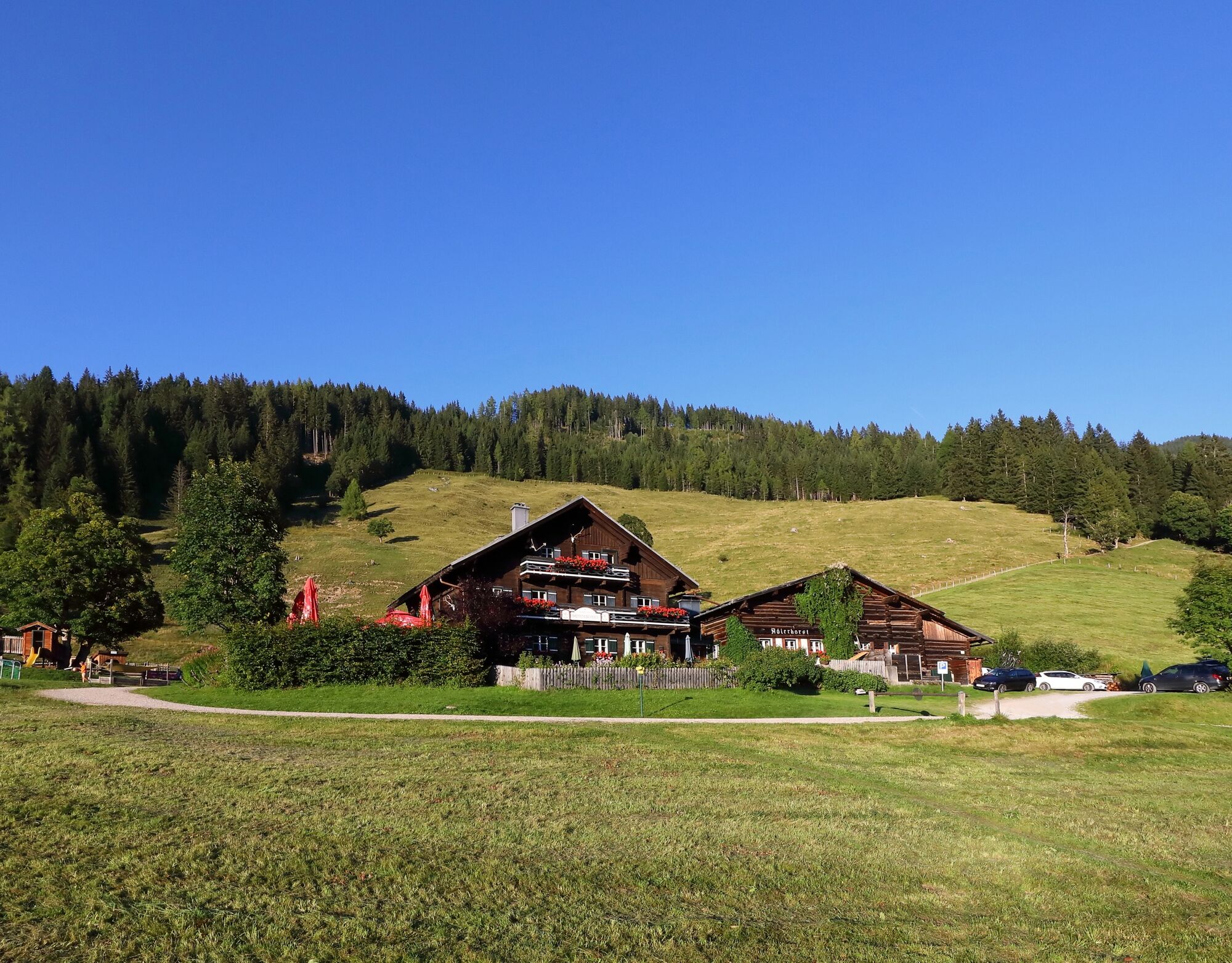
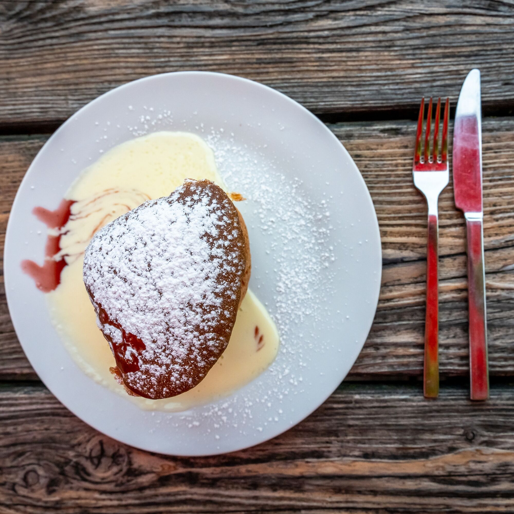
At Breitenebenalm, you will be treated to delicacies. Especially popular here are the sweet dishes like apple strudel or freshly baked cake. These taste particularly good on the large sun terrace. There is a playground and small animals for the children.
After a refreshment, you return along the same way back down to the valley.
The start of this route is at the Großarler Genuss, which you can reach via the valley bike path from Großarl town centre in about 4.2 km heading towards St. Johann im Pongau. There, at the Wimmbrücke (Großarler Genuss), turn right onto the Sonneggweg. Follow this to the Sonneggbrücke and continue on to the parking lot at Breitenebenalm. From here, take the gravel road. It leads through several switchbacks to Breitenebenalm, 1,420 m.
The return is along the same path.
Ja
Mountain bike or e-bike
Helmet and additional protective gear such as gloves, glasses, etc.
Warm clothing and rain protection
For emergencies: first aid kit and mobile phone
Snacks, something to drink, and money for the stopover
Moderate traffic can be expected along this mountain bike route.
From Großarl town centre, you reach the starting point via the valley bike path towards St. Johann im Pongau (about 4.2 km).
Here you will find all parking options in Großarl and Hüttschlag.
An ascent from Breitenebenalm to Karseggalm takes about three quarters of an hour and is definitely worthwhile, as Karseggalm is one of the coziest huts in the Großarl valley – it is over 400 years old.
Webbkameror för rundturen
-
Gernkogel - Alpendorf St. Johann
-
Grafenberg
-
Hotel Lammwirt im Großarltal/Ellmautal
-
Ellmautal - Palfenhof
-
St. Johann-Alpendorf
-
Großarl - Vitalhotel Tauernhof
-
St.Johann-Alpendorf Gernkogel
-
Gernkogel - Alpendorf St. Johann
-
Gernkogel - Alpendorf St. Johann
-
Mooslehen Berg
-
Grossarl - Hotel Gasthof Schützenhof
-
Großarl - Hotel Kristall Übungslift
-
Gernkogel - Alpendorf St. Johann
-
Gernkogel - Alpendorf St. Johann
-
Gernkogel - Alpendorf St. Johann
-
Gernkogel - Alpendorf St. Johann
-
Großarl
-
St. Johann-Alpendorf
-
St. Johann-Alpendorf
-
St. Johann-Alpendorf
-
St. Johann-Alpendorf
Populära turer i närområdet
-
4,5
Mosermandl Windischscharte, Salzburger Land/Österreich
tungVandring 14,6 km -
4,2
Ennskraxn (2410m)
tungVandring 14,7 km -
4,2
Großarl: Unterwandalm - Karseggalm - Breitenebenalm
MediumVandring 5,93 km -
4,4
Wasserfall Bad Hofgastein
ljusVandring 3,89 km -
4,4
Ski tour Liebeseck
tungSkitour 14,1 km -
4,8
Großarl: Mooslehenalm – Niggeltalalm – Viehhausalm
MediumVandring 5,44 km -
4,5
Penkkopf via Kleinarler hut from Kleinarl
MediumSkitour 4,35 km -
4,2
Wasserfallweg (UNESCO-Geopark Erz der Alpen)
ljusTema spår 4 km -
4,8
Liechtensteinklamm mit Helix
ljusTema spår 3 km -
4,4
Großarl: Saukaralm - Saukarkopf - Gerstreitalm
MediumVandring 9,14 km
Vandring och spårning


Missa inte erbjudanden och inspiration inför nästa semester
Din e-postadress har lagts till på e-postlistan.