


Puch: Salzachuferweg - circular trail via Kaltenhausen and Urstein (No. 16, 6 points)


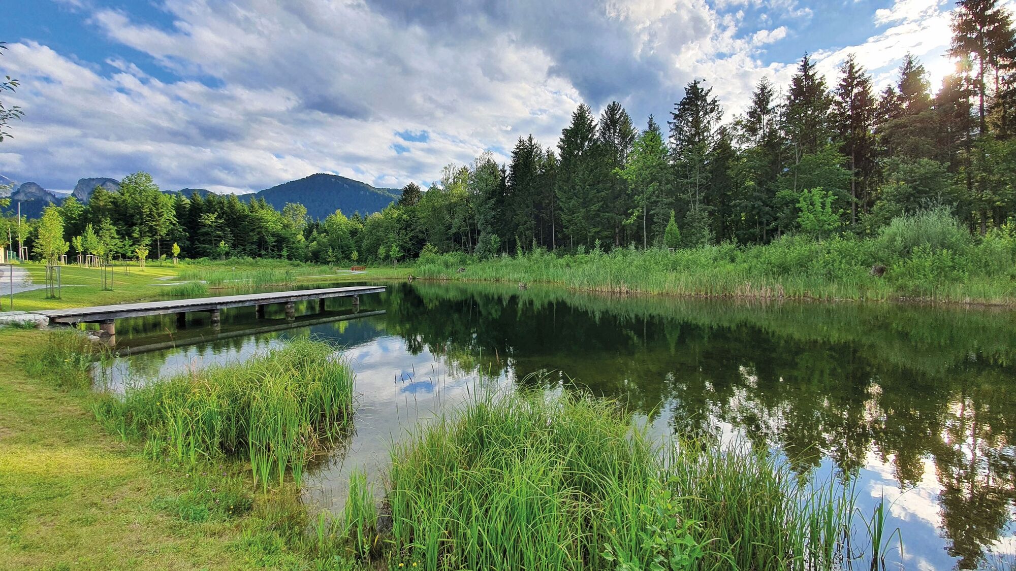
The Salzachuferweg (“Salzburg Riverbank Path”) is an ideal, long walk for all ages. Because it is so straight, it is ideal for chatting with companions. Particularly popular with families pushing prams...
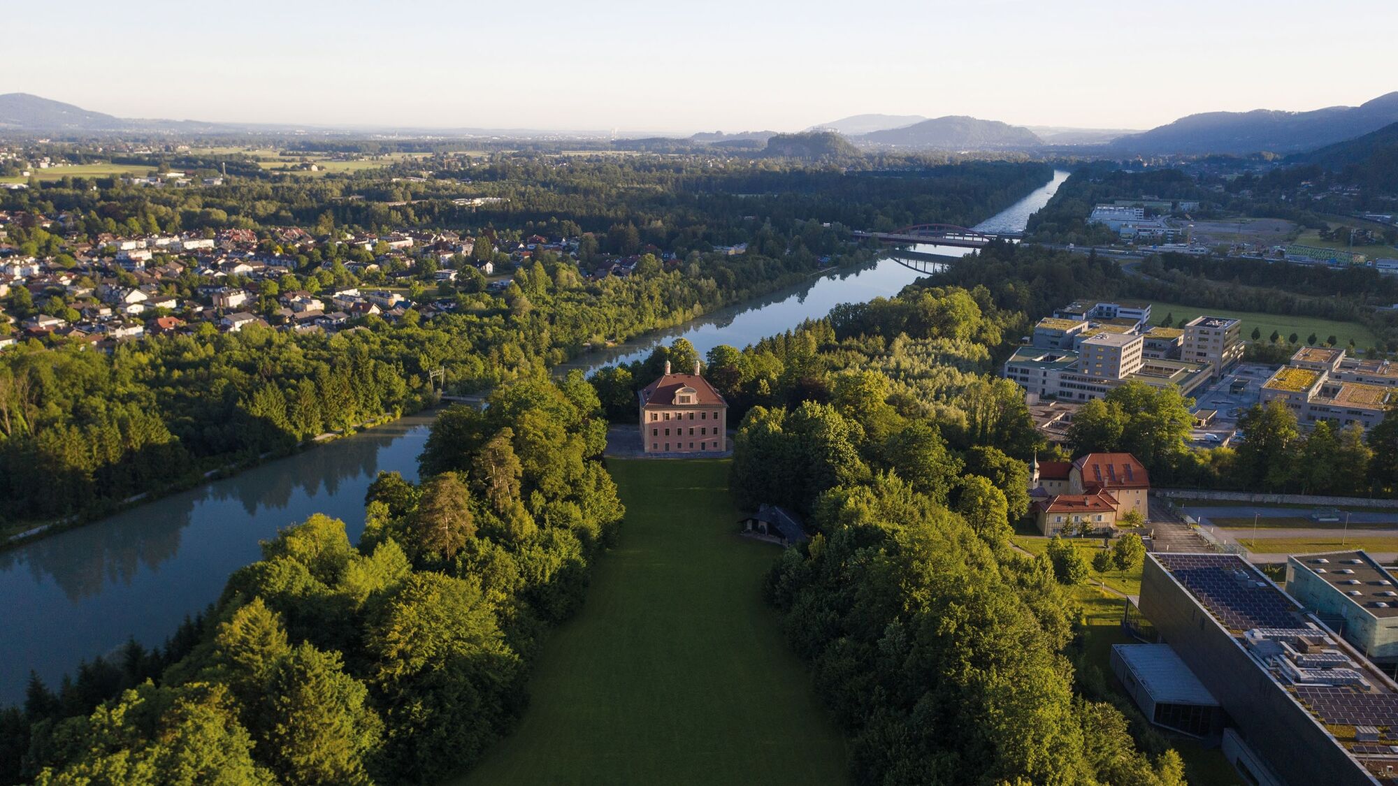
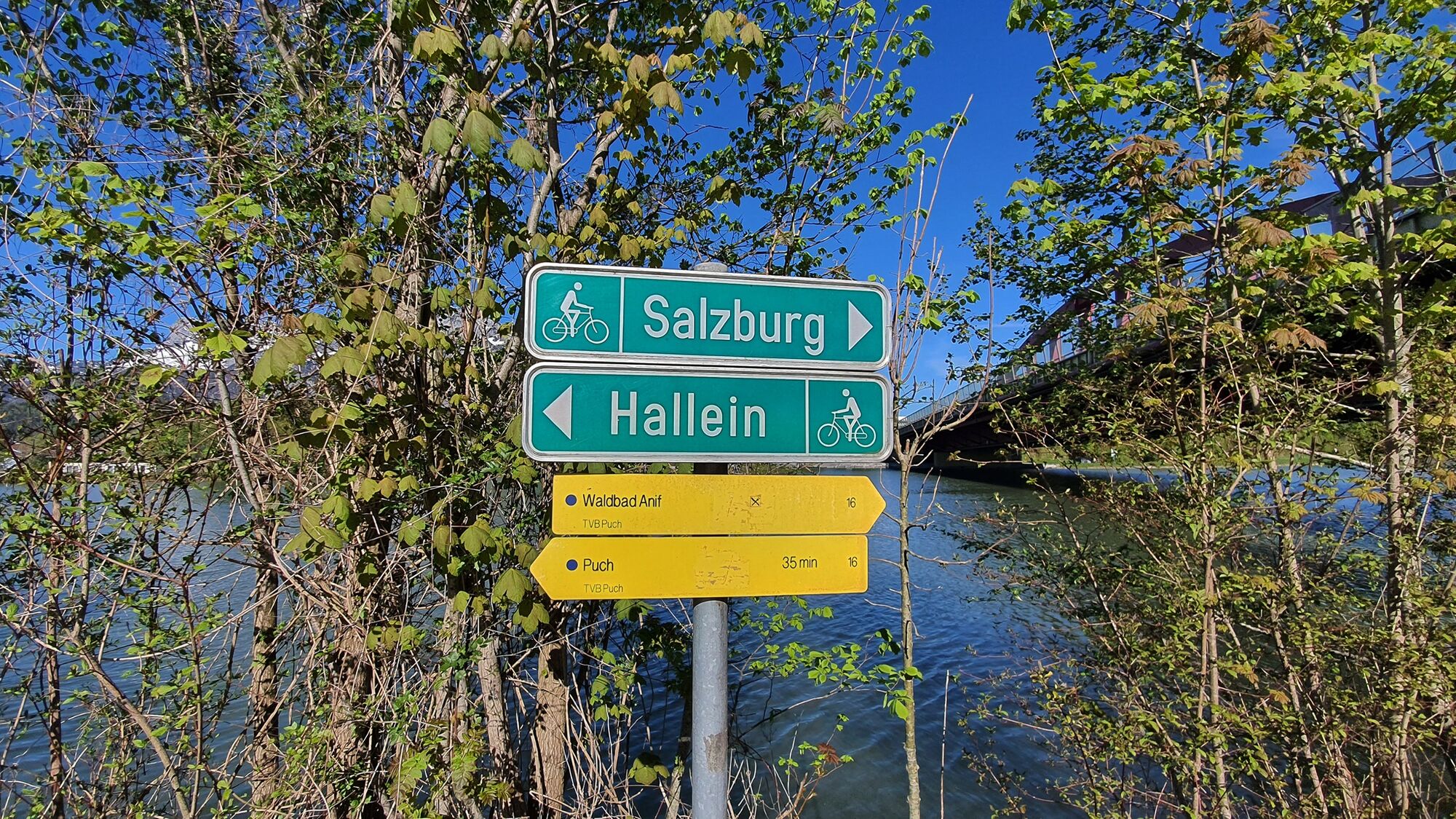
The Salzachuferweg (“Salzburg Riverbank Path”) is an ideal, long walk for all ages. Because it is so straight, it is ideal for chatting with companions. Particularly popular with families pushing prams and as a jogging route. With several bridges to choose from, you can tailor the exact route however you please. Either next to the Salzach to Kaltenhausen, or to the hydropower plant in Puch Urstein, or as a full tour via the Salzburg University of Applied Sciences and returning along the main road.
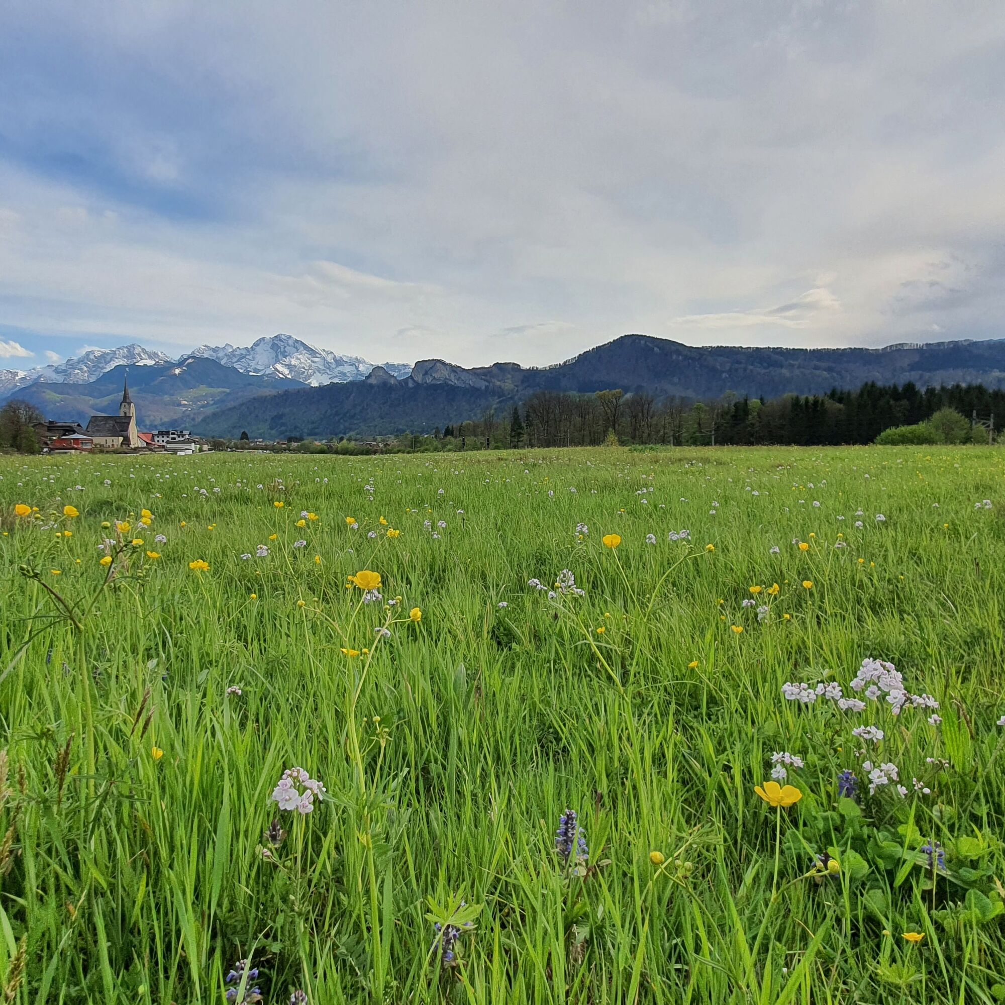
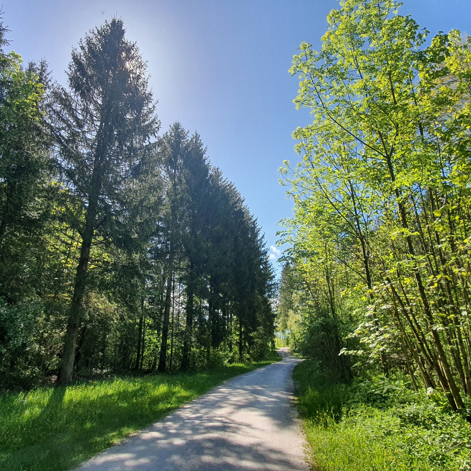
From the public car park next to Puch village hall, the path leads past the senior citizens’ home and playground to the Salzach. The pleasant gravel path next to the river and beneath the trees provides ample shade and refreshing temperatures on hot summer days.


From the municipal office, walk downhill under the railway subway and then turn left into "Schwester Hildegard Weg" until you reach the wayside shrine. Pass the senior citizens' residence and turn right in front of the playground, the skate park and the turnoff to the recreational area in the direction of the Salzach.
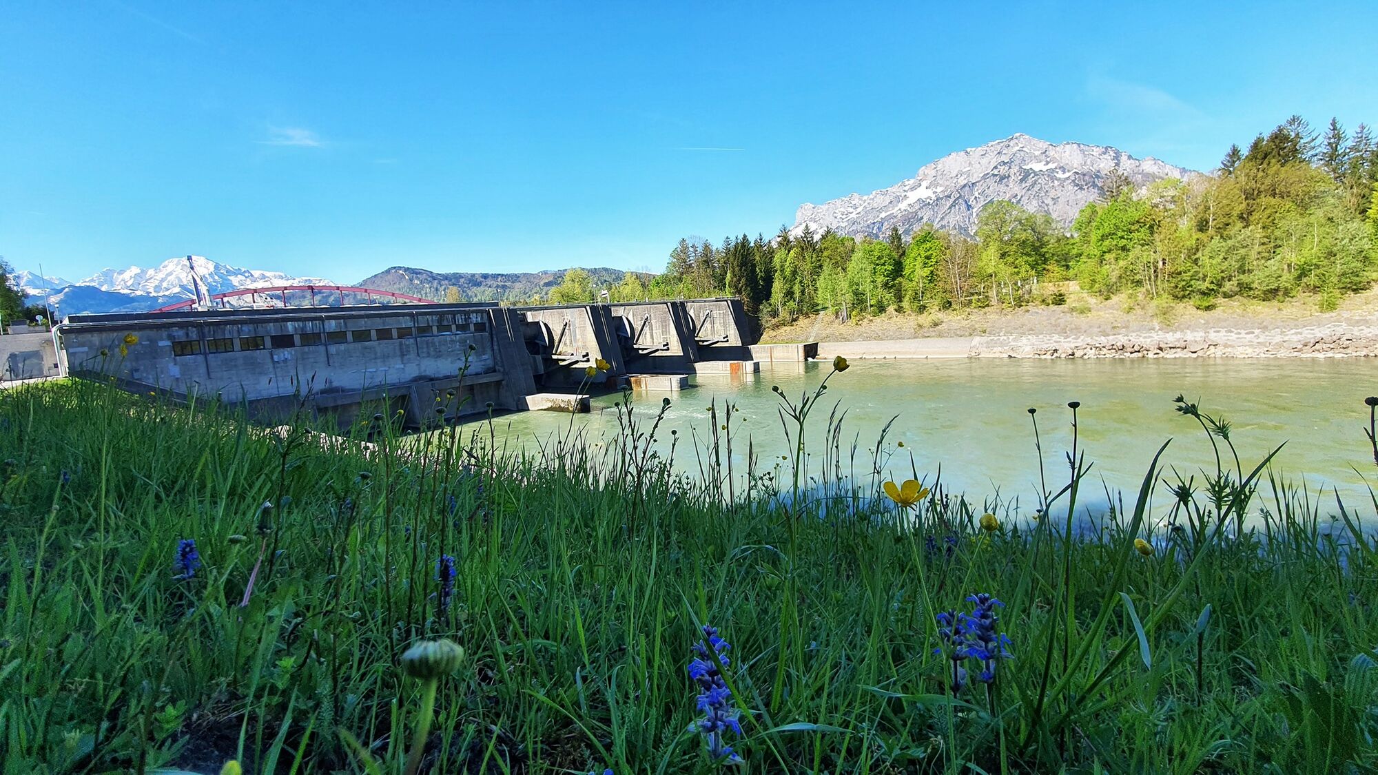
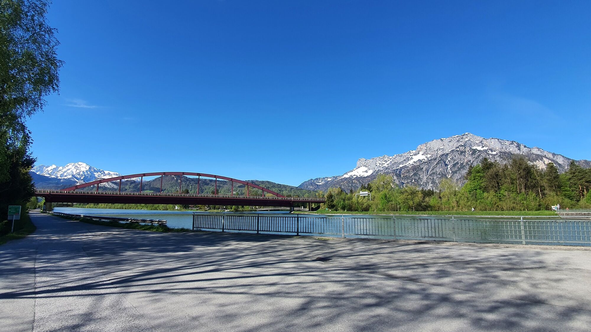
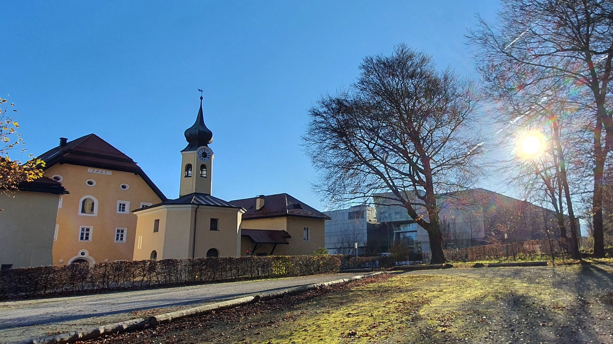
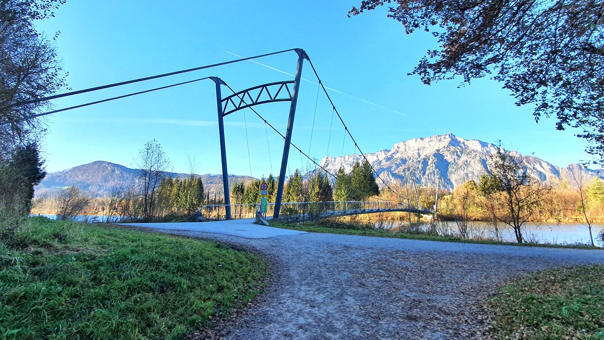
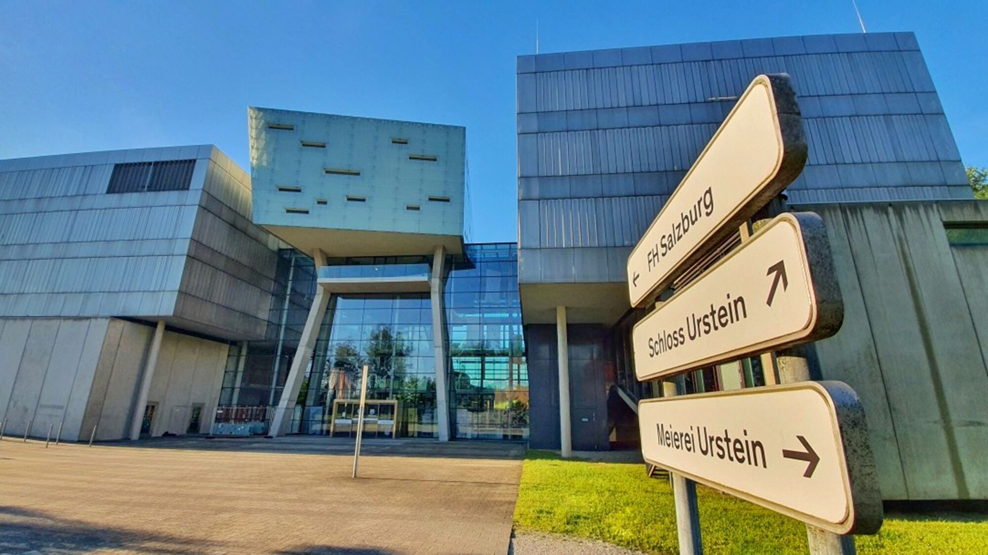
Turn left at the river and walk along the right bank of the Salzach to the footbridge next to Kaltenhausen. On the other side of the Salzach, walk northwards either to the Ursteinsteg or a little further to the Urstein power station. Head up the Salzach back to the starting point or turn left at the panoramic Ursteinsteg and return to Puch via the Salzburg University of Applied Sciences at Urstein Castle.
The Tennengau Hiking Pass stamp (6 points) is located under Urstein Castle at Ursteinsteg.
Ja
Ja
Ja
No special equipment required!
Recommended:
weather-appropriate clothing comfy shoes Drinking water and food if desired
Important: Keep an eye open for bikers who are also riding the Tauernradweg next to the Salzach!
This hiking path is indicated by yellow hiking signs as week as a simple red-white-red symbol in between.
from Vienna on the A1 autobahn or from Munich on the A9, shortly before reaching the Tennengau (Hallein) you will come to a big interchange where you will merge onto the A10 (Tauern Autobahn), continuing south. Puch/Urstein (Exit 11) is the northernmost autobahn exit in Tennengau. If you are driving in from the south on the A10 from Villach/Kärnten, also leave the Tauern Autobahn in Puch Urstein, taking Exit 11. From this exit. drive either south into Puch itself or north following signs for Salzburg City as far as St. Jakob am Thurn
: The No. 160 coming from Salzburg City stops right outside Puch village hall. Coming from Hallein, get off either at the stop in front of Bäckerei Pföss (across from the fire station) or, after the village hall, opposite the parish church.
By train: Puch has 2 stops on the suburban railway (S-Bahn). One is close to the town center and one is at the Salzburg University of Applied Sciences in Puch Urstein. Both offer free parking.
Public parking in the center of Puch (next to the village hall).
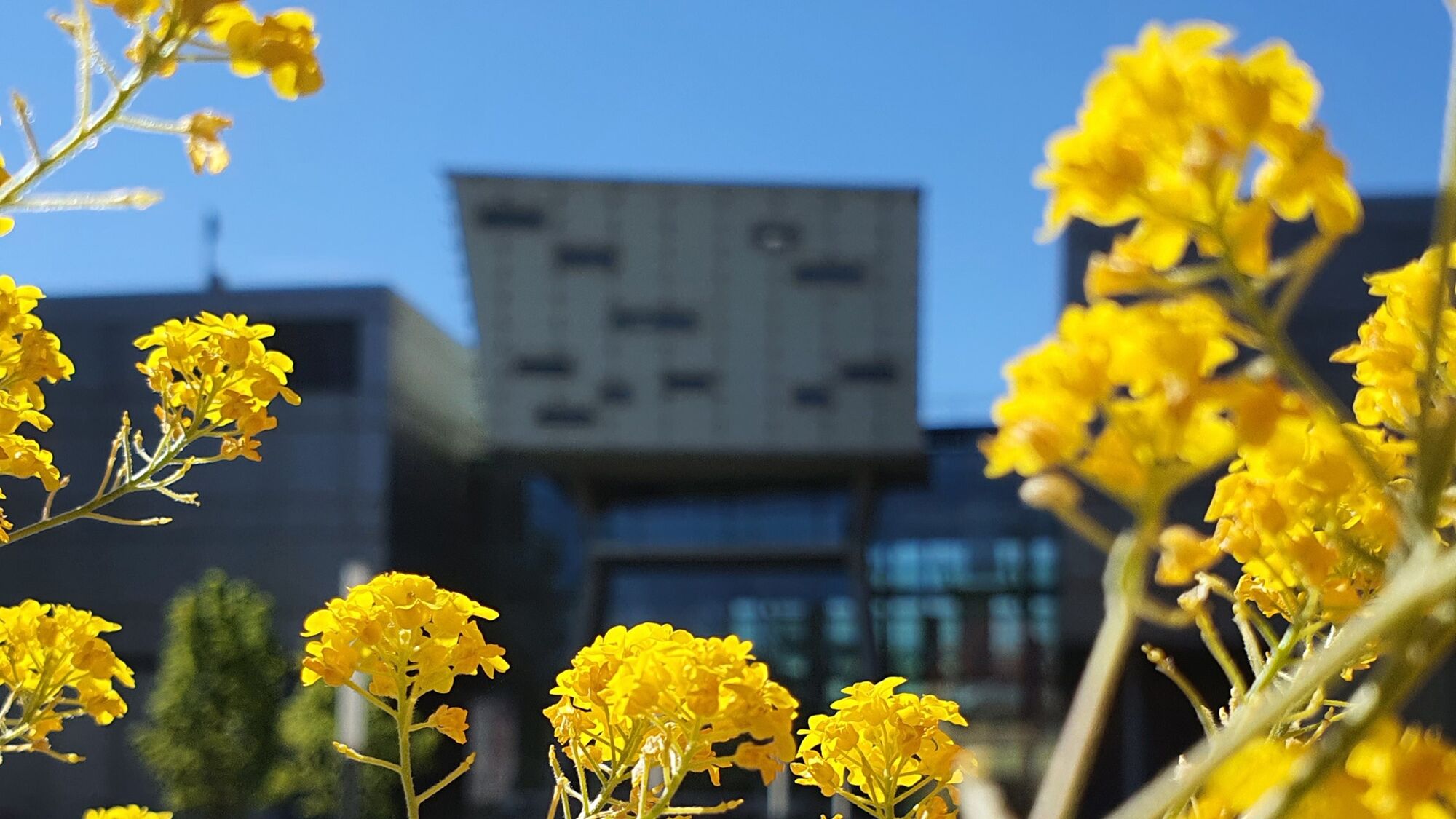
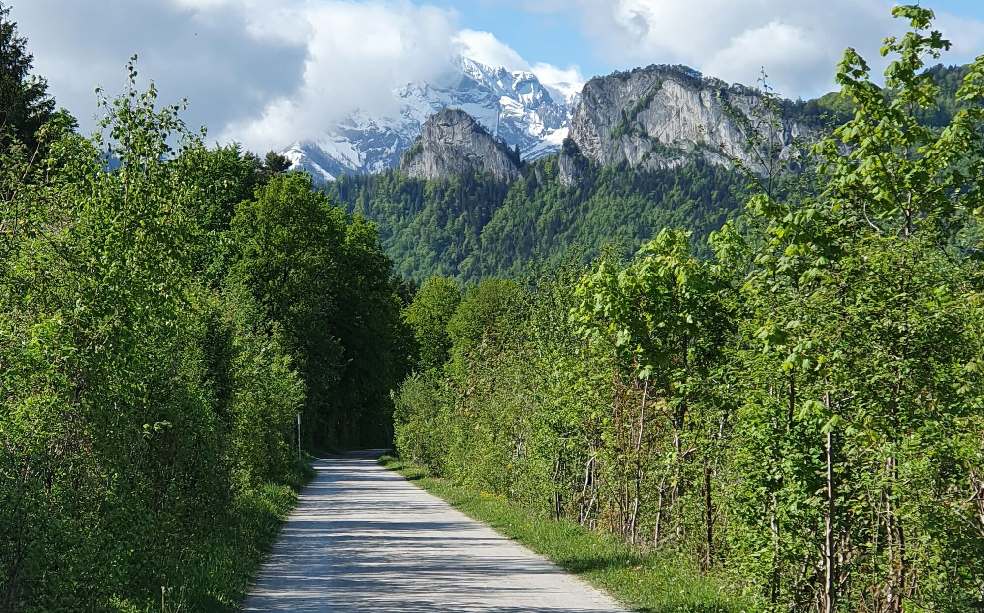
Allow the power of water to reenergize you. This route is also ideal for running as well as Nordic walking. Enjoy the unique view of the Salzburg mountains from the Urstein bridge near the Salzburg University of Applied Sciences.
Several refreshment options locally: see www.puch-salzburg.com
Webbkameror för rundturen
Populära turer i närområdet
-
4,2
Idyllische Hintersee-Runde
ljusVandring 5,10 km -
4,5
Hoher Göll vom Alpeltal
tungVandring 15,0 km -
4,4
Von Koppl auf die Gaisbergspitze
MediumVandring 4,93 km -
4,7
Reitsteig - Dopplersteig Runde_Untersberg
MediumHög tur 9,89 km -
3,7
Durch die Almbachklamm nach Ettenberg
Vandring 7,54 km -
4,2
Hike to the Kleiner Barmstein via the Thürndl ruin
MediumVandring 4,20 km -
4,8
Schlenken and Schmittenstein hike
tungVandring 10,9 km -
5,0
Untersberg (Salzburger Hochthron)
MediumVandring 11,8 km -
4,0
From Latschenwirt over Tannenwinkel to Wolfschwang
ljusVandring 5,55 km -
4,6
Untersberg Bahn - Salzburger Hochthron - Berchstendgadener Hochthron
MediumVandring 11,2 km
Vandring och spårning


Missa inte erbjudanden och inspiration inför nästa semester
Din e-postadress har lagts till på e-postlistan.