


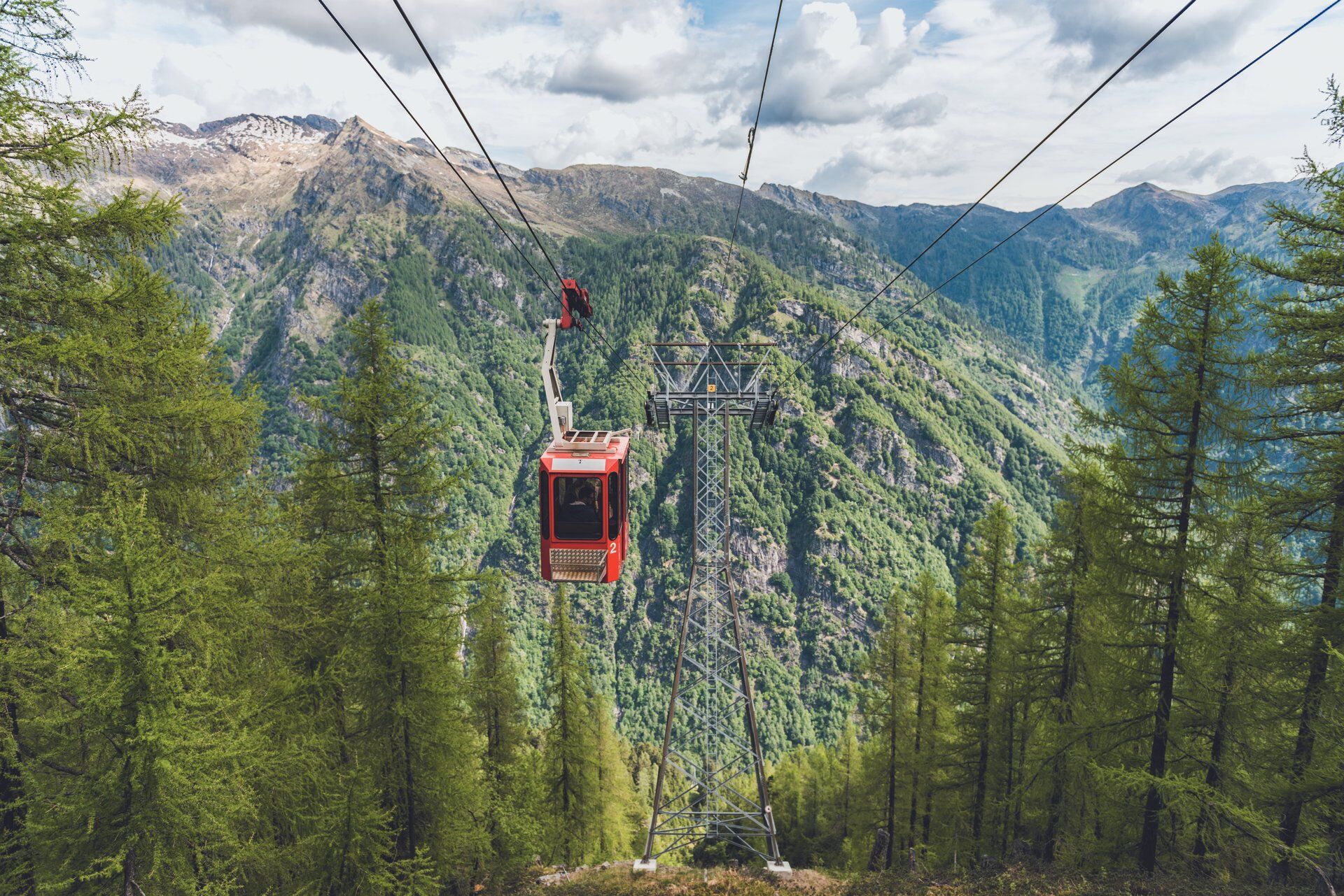
Trekking Maggiore Stage 3: Rifugio Arena-Rifugio Corte Nuovo


The trail passes through a protected area, so expect to be surprised as black grouse suddenly break cover and fly off. The route starts by crossing mountain pastures and expanses of rhododendron bushes....
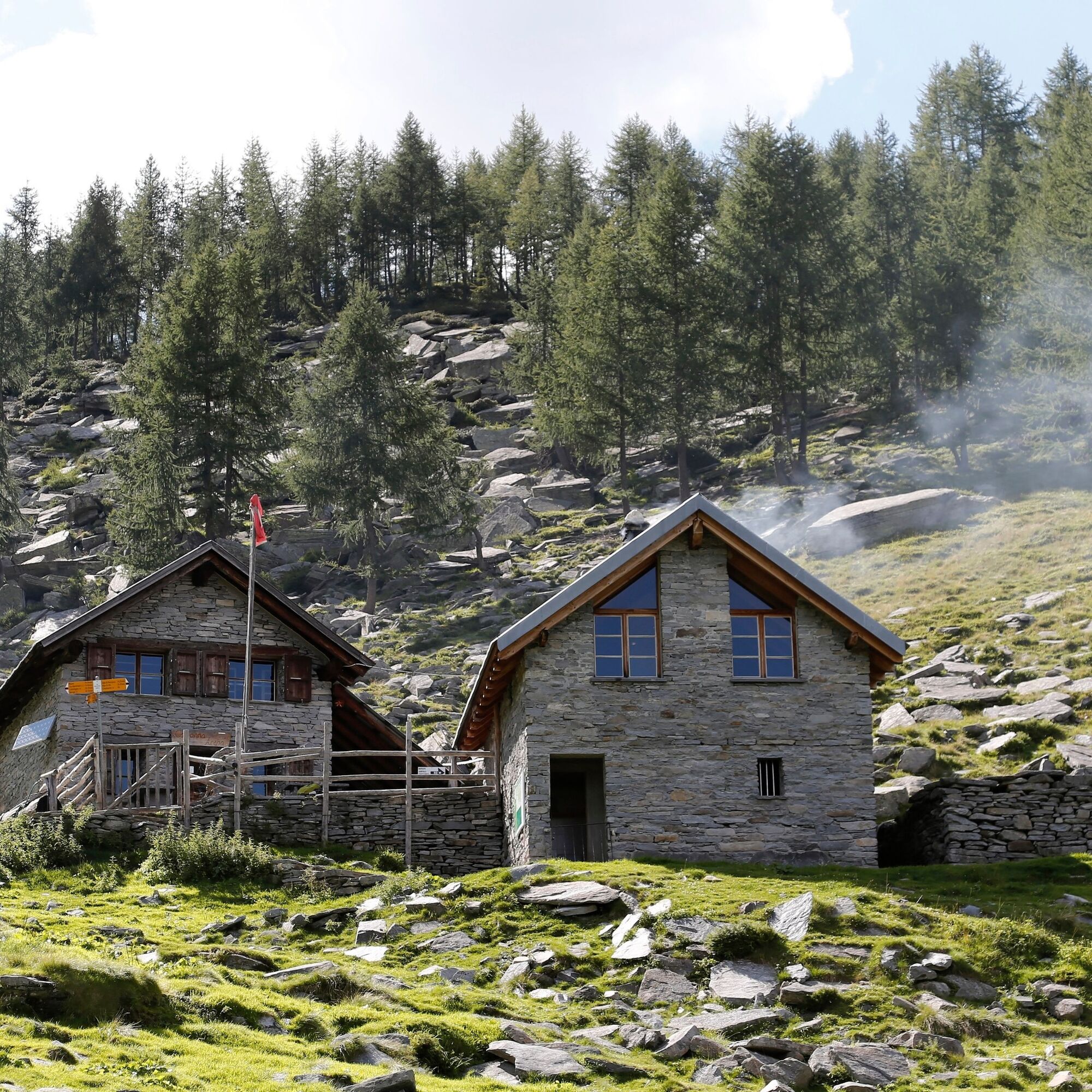
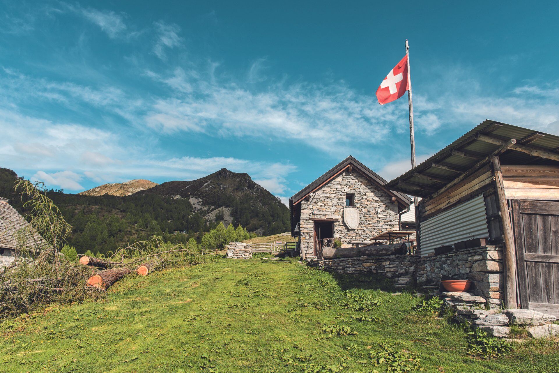
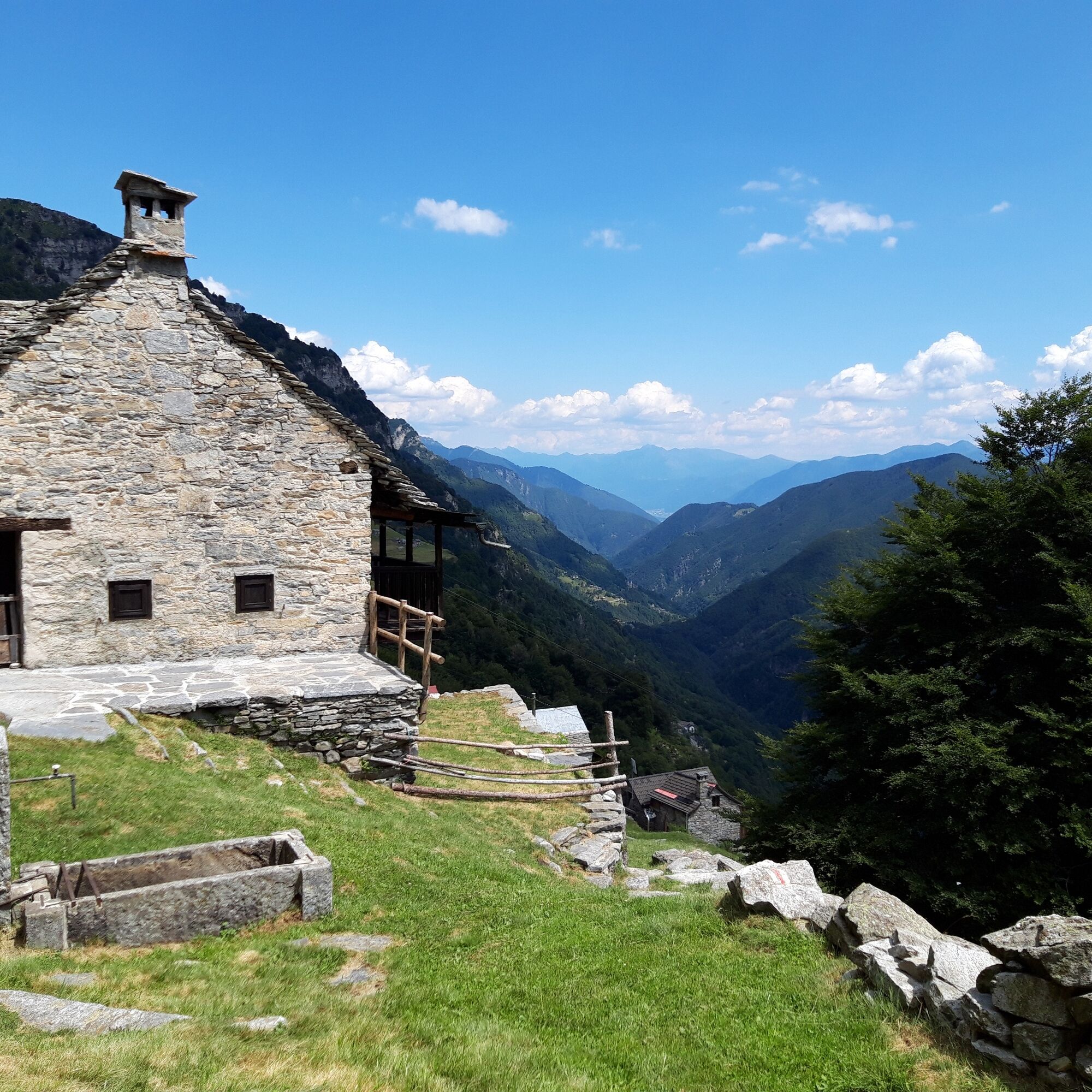
The trail passes through a protected area, so expect to be surprised as black grouse suddenly break cover and fly off. The route starts by crossing mountain pastures and expanses of rhododendron bushes. Then, on reaching Alpe Madèi, a small structure belonging to Alpe Porcareccio, things become more varied. Continue up to the Capanna Arena refuge, an unmanned but welcoming structure where you can cook a meal and find a bed for the night. Next to this is the Alpe Arena, where you can again buy some great dairy products during the grazing season. This area borders with the Riserva Forestale dell’Arena, a nature reserve home to various types of fauna.
The trail then starts climbing slowly up to the Capanna Salei mountain hut. Once through the woodland, you pass close to a biotope rich in microfauna before reaching Alpe Pièi Bèchei.
Salei is a beautiful mountain pasture, one of the most beautiful in the canton. The views from here are spectacular, and there are plenty of options. The Salei mountain hut is manned during the summer. From here, heading westwards towards Pizzo Pilone, it takes about 45 minutes to get to the Laghetto dei Salei, a magnificent alpine lake (1924 m a.s.l.). Alternatively, heading east from the hut, you can get to Pizzo Zucchero. There is a marvellous “Swing the World” swing on the top of this mountain with an exceptional 360° view. On a clear day you can see both the lowest point in Switzerland, Lake Maggiore, and the highest point, the tip of Monte Rosa.
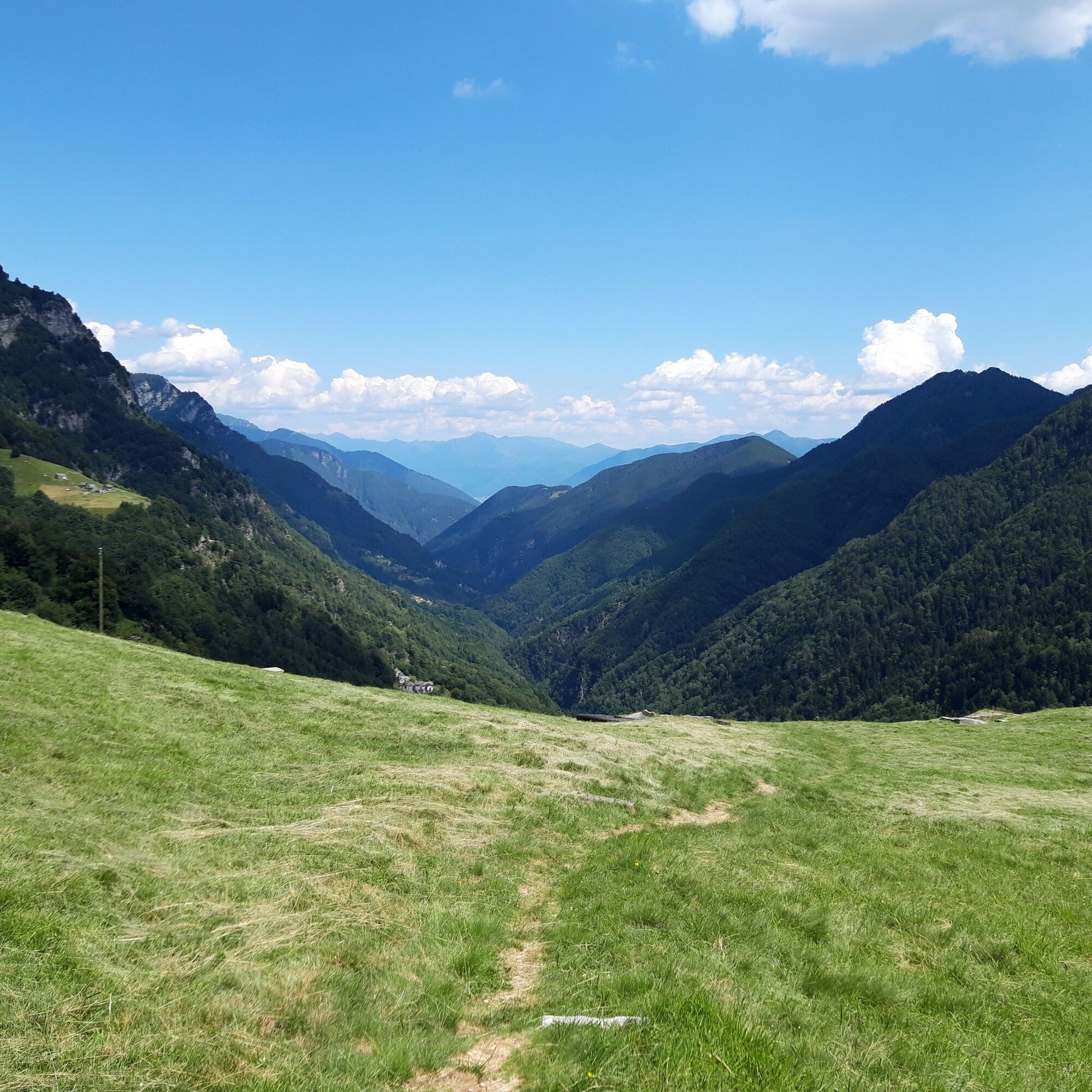
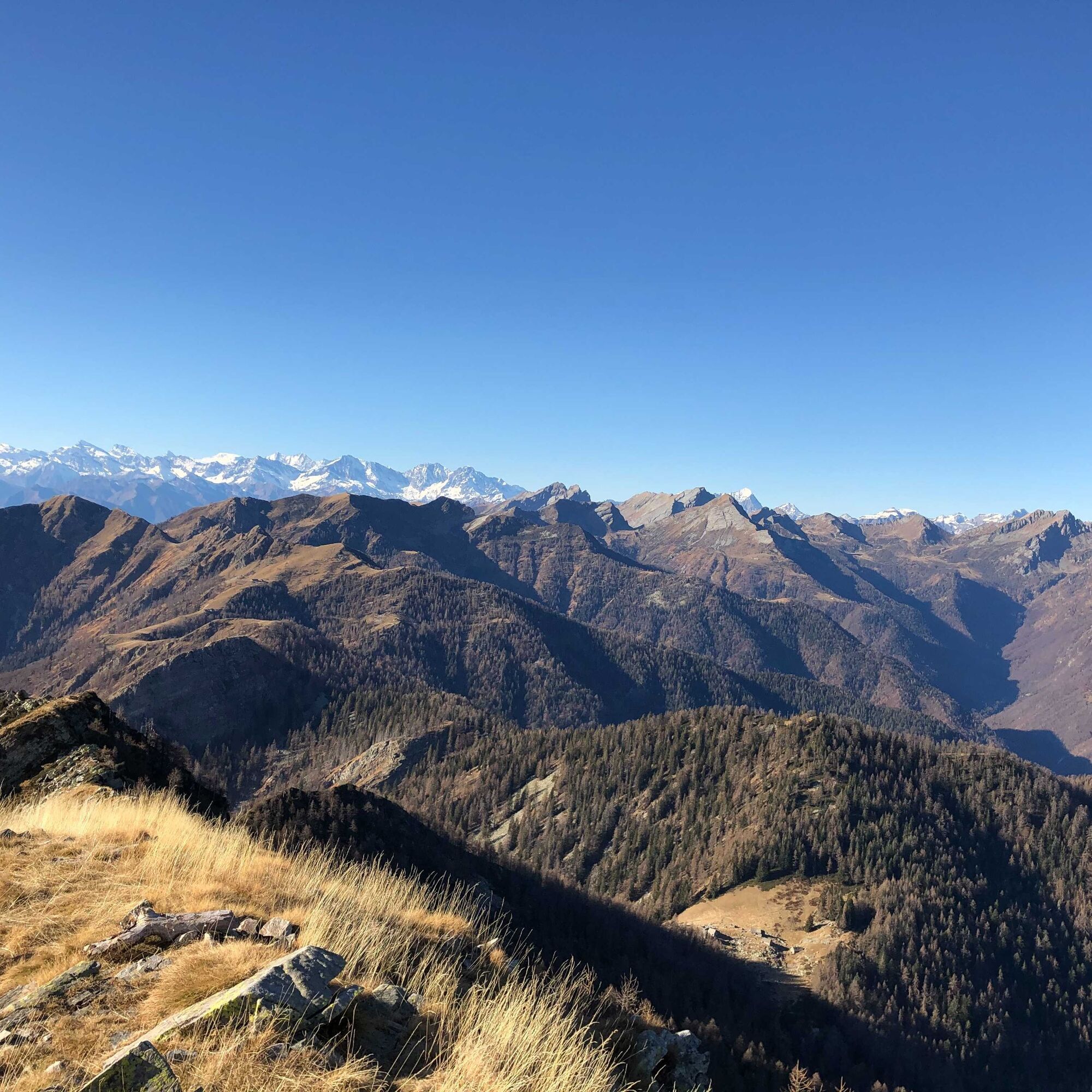
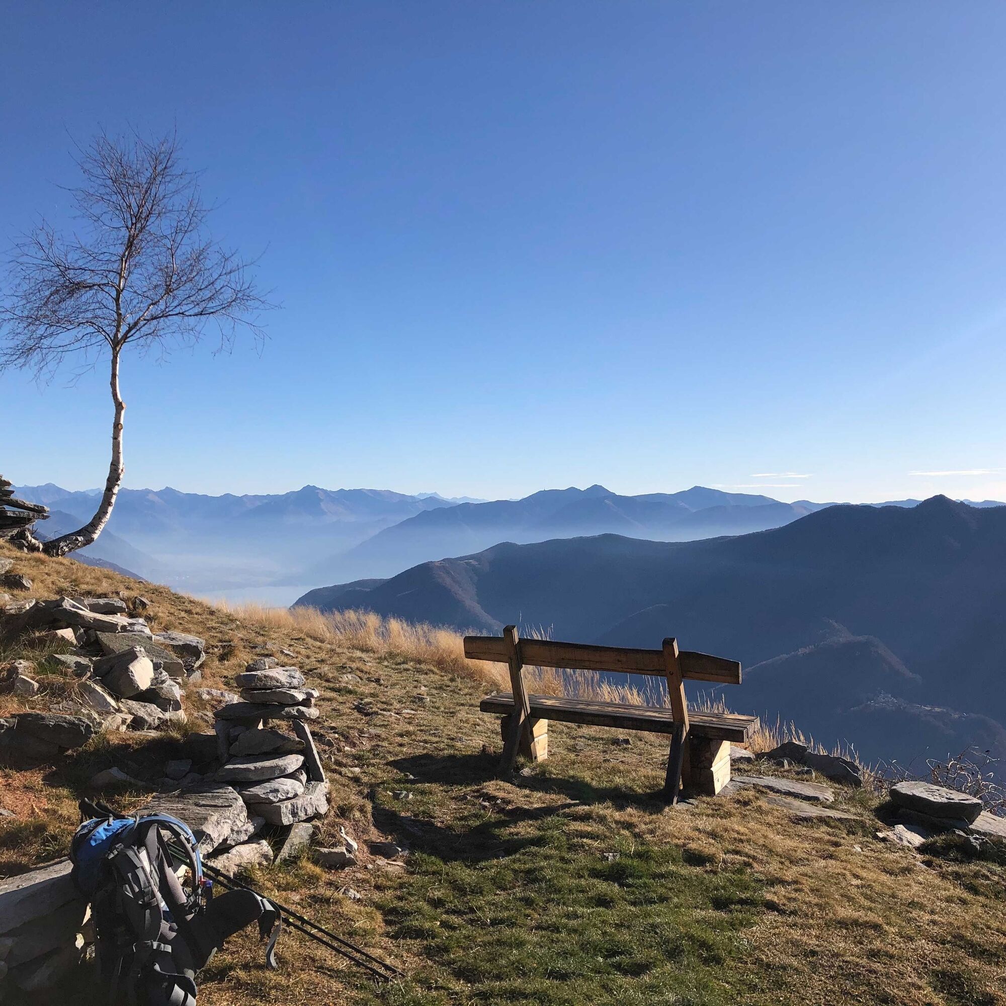
You now cross the Lavadina valley as you continue southward along the Trekking Maggiore trail. This is a restful, pleasantly downhill stretch. At Monte Ligünc you can enjoy a beautiful view over the entire Onsernone valley region. The trail continues its downward course, passing by Cavòo and then quickly onto the picturesque village of Comologno. This village has several fine buildings, including the famous “Barca”: a building that was home to various famous intellectuals forced to flee fascist Italy. Another important structure in Comologno is Palazzo Gamboni, a small Hotel de Charme awarded the prestigious Swiss Historic Hotel brand. Adjacent to this you find the Osteria Palazign.
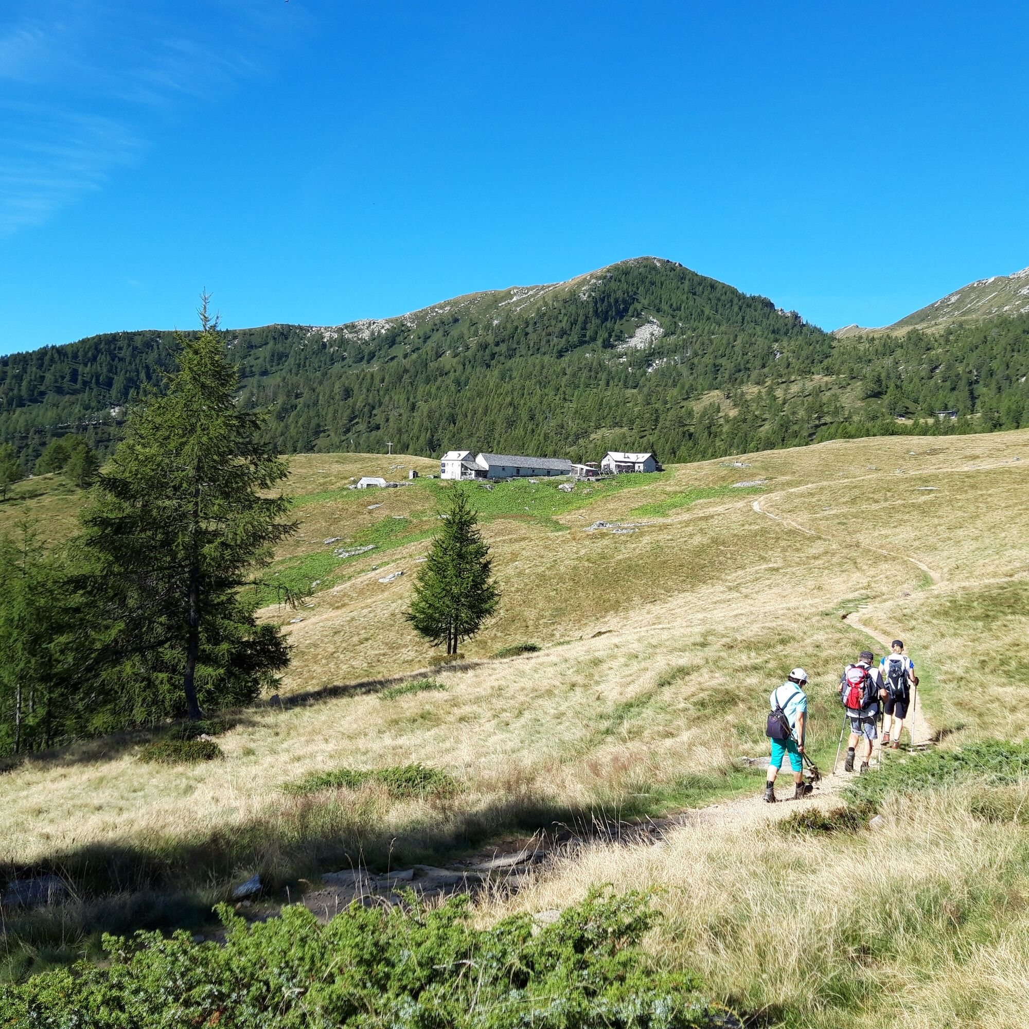
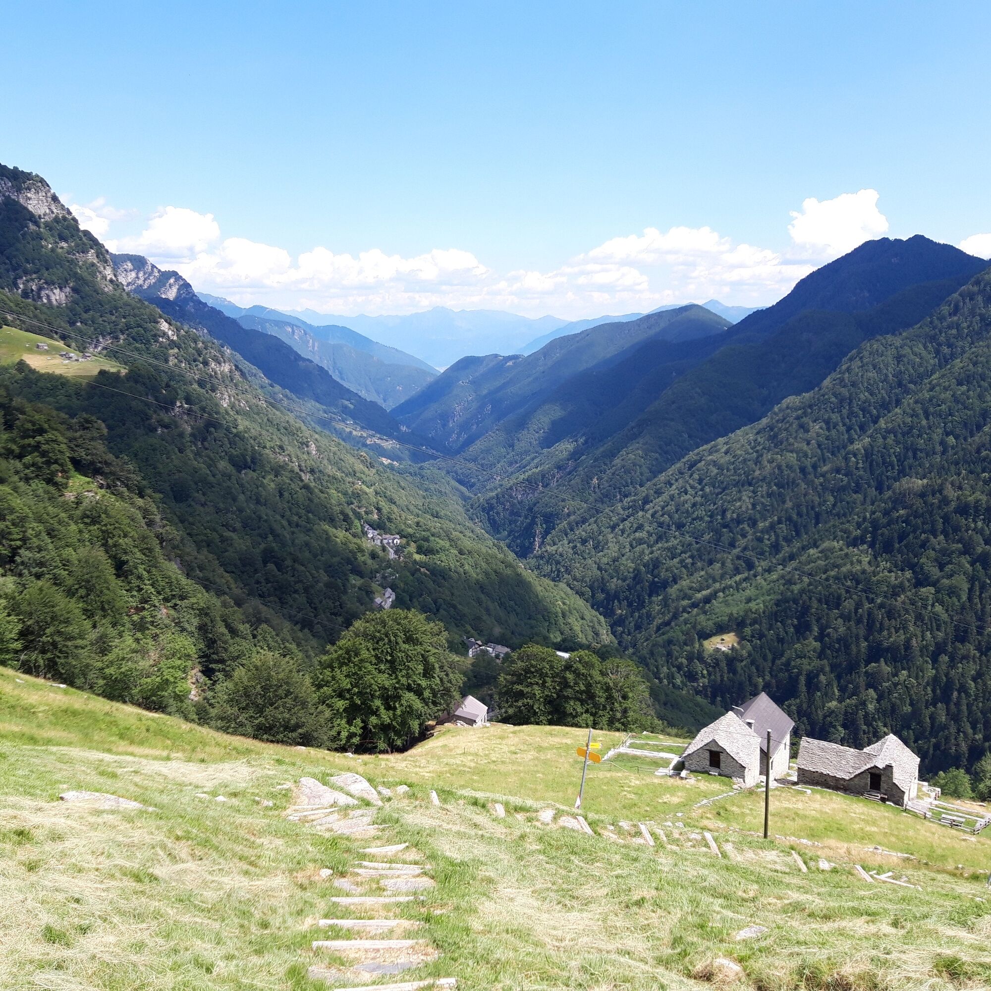
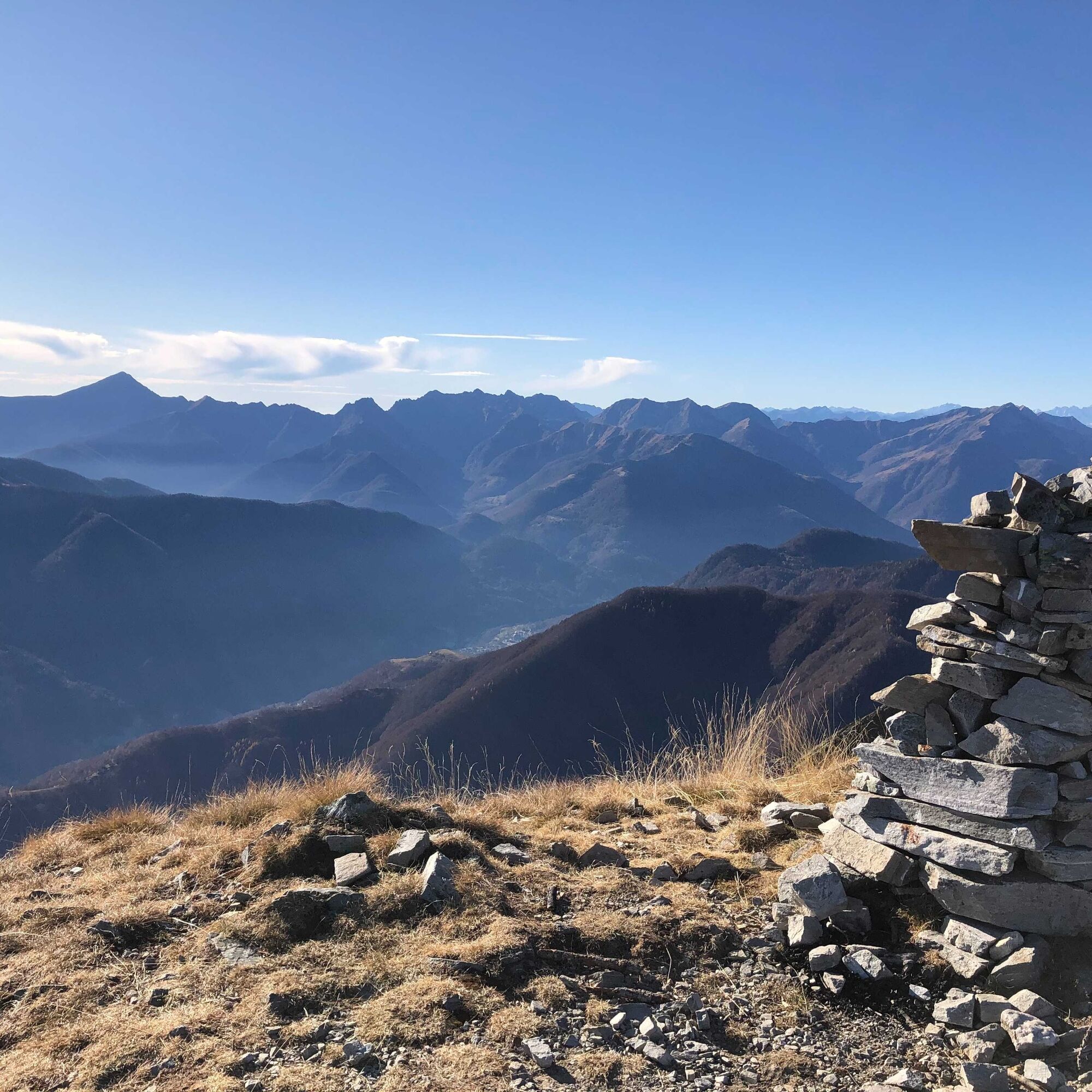
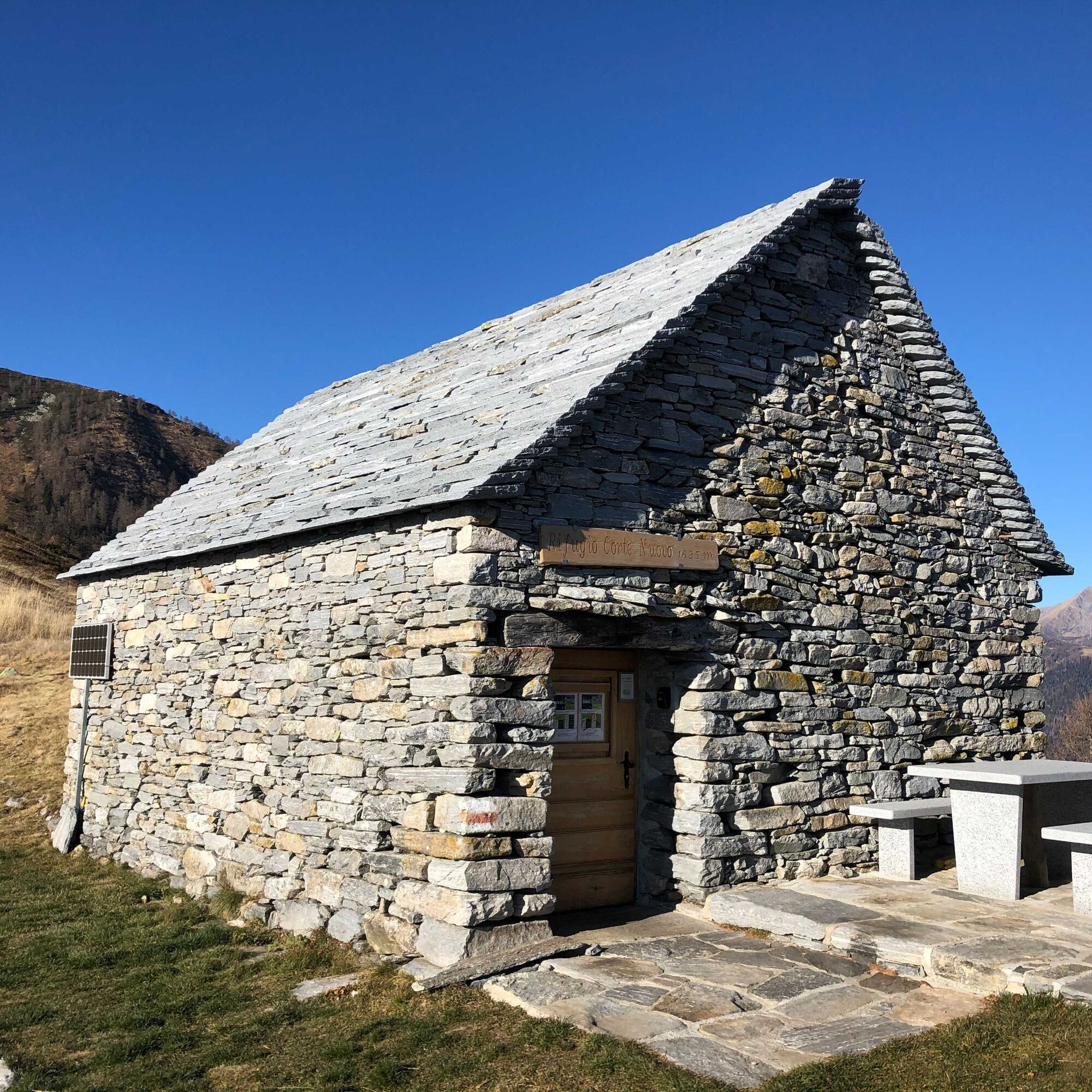
The path now continues downwards past the church of San Giovanni and its beautiful, completely renovated Via Crucis (way of the cross), before entering the woods again. A nicely restored path takes you past Curt dal Cason. This is a gentle descent, first to Piva and then Tecc dal Bocc, before entering the Onsernone forest reserve. As you start the ascent, you pass by Curt dal Cason before reaching Alpe di Ruscada. The trail then continues eastwards to the top of Corte Nuovo and its magnificent view over the entire Onsernone valley, Centovalli and the Locarno area. You then continue up to the Corte Nuovo mountain refuge.
Attention: Between the Capanna Alpe d'Arena and Capanna Salei mountain huts, there are herds protected by livestock guardian dogs.

Rifugio Arena-In Pièi Bechèi-Capanna Salei-I Lig'ünc-Comologno-Tetto del Buco-Al Casón-Alpe Ruscada-Rifugio Corte Nuovo
Ja
Trekking backpack (approx. 50 liters) with rain cover
Comfortable and sturdy footwear, second pair of shoes / sandals if necessary
Adequate and durable outdoor clothing in multiple layers
Change of clothes,
Telescope sticks
Sun and rain protection
Snacks and drinking water
First aid kit
Penknife
Mobile phone
Headlight
Maps
Travel documents
Toilet bag and travel towel, travel detergent and clothesline, camping equipment if necessary (tent, sleeping mat, sleeping bag, cooking equipment), hut equipment if necessary
Populära turer i närområdet
-
4,8
Avegno-Ponte Brolla-Avegno
MediumVandring 8,56 km -
5,0
Giro della Valle del Salto (SvizzeraMobile 611)
MediumVandring 8,84 km -
Maggia-Someo-Maggia
ljusVandring 15,5 km -
5,0
On the traces of Mr. Geiser
MediumTema spår 6,73 km -
5,0
Mergugno: in the yellow forest
MediumVandring 6,44 km -
Centres of energy in the Ghiridone
MediumTema spår 7,35 km -
Spruga-Alpe Saléi-Comologno
MediumVandring 8,96 km -
Loco - Vosa - Intragna
MediumVandring 5,96 km -
5,0
Bosco Gurin-Lago Melo-Lago Pero-Bosco Gurin
MediumVandring 10,6 km -
Centres of energy in the Valle Onsernone
MediumTema spår 13,4 km

Vandring och spårning


Missa inte erbjudanden och inspiration inför nästa semester
Din e-postadress har lagts till på e-postlistan.